Mala wharf
20.886154, -156.6878217
1
coral
20
20.8837888, -156.6860028
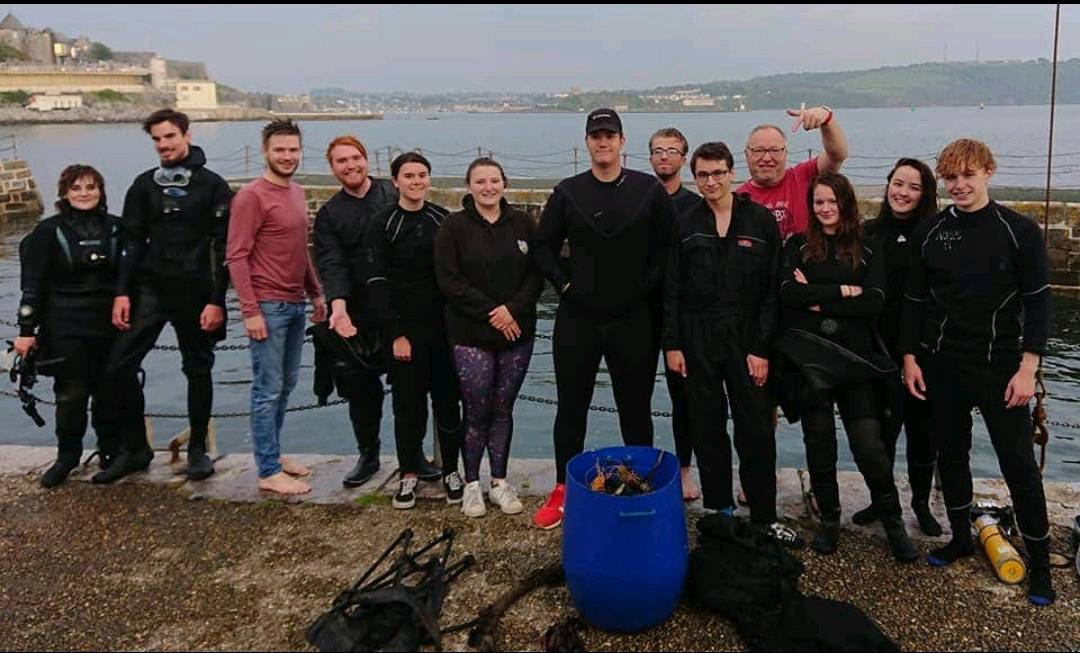
Keep Maui clean!
No
G string
Perfect
Maui diving scuba and snorkel center
Ashely Ciccarelo
1
4
30.00
45
26.00
18.00
estimated
17
50.00
1
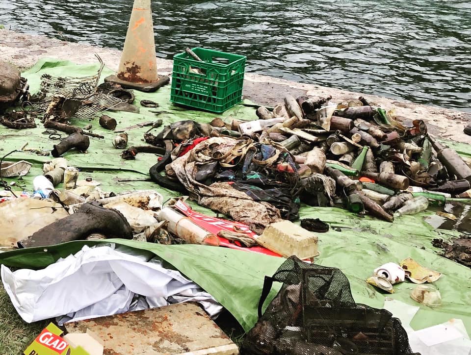
Broken glass
Fishing line
On
pounds
I have debris data to report
24
Slight for waves 0.5 -1.25 meter high
ft2
1
feet
coral reef
1
State\Province
Hawaii
City
Lahaina
Map Help
Dive Location
If you know your survey site coordinates, enter them manually in decimal degrees using WGS84 Map Datum. Use the minus sign for latitudes south of the equator and longitudes west of the Prime Meridian to 180 degrees.
If you do not know your survey site coordinates, click the “Map Location” tab to use the map to zoom into your survey site and drop the pin on the map to fall within your survey dive site in the water (not on land or the beach). Ensure you zoom in as much as possible to ensure data accuracy.
Entangled Help