Amici del Lago
6
other
1
1
1
42.11308137235, 12.177834802964
NTR
ceramic insulator
Sunny and Cloudy with some shower
ASD L'Aquila di Mare
Fabrizio Casu
1
2
1
6
2
1
1
11.15
40
6.00
2.00
measured
1800.00
1
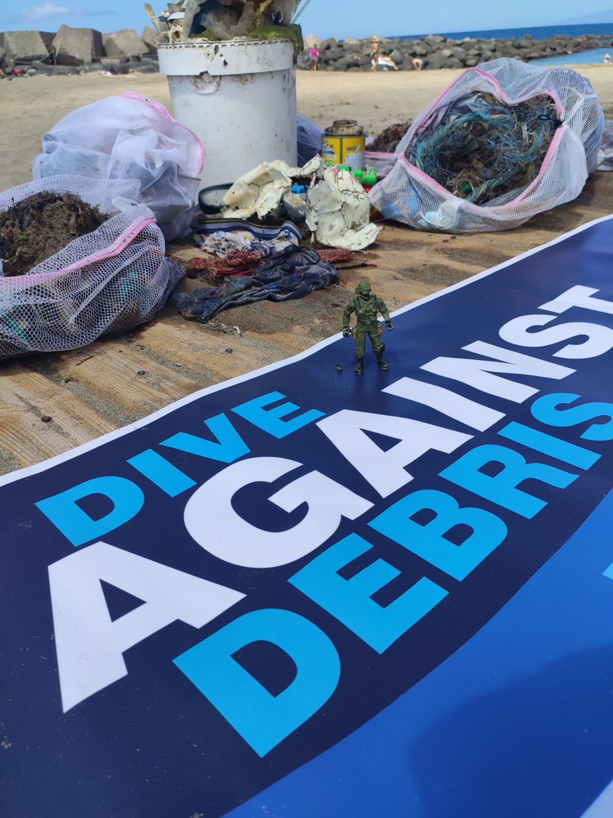
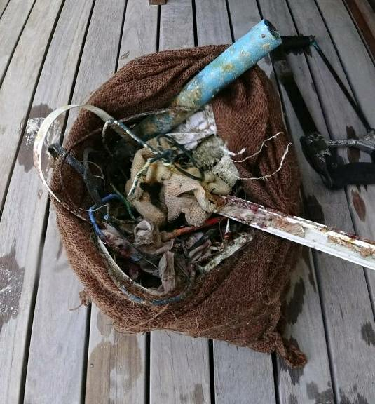
Glass fragment that are dangerous for bathers
On
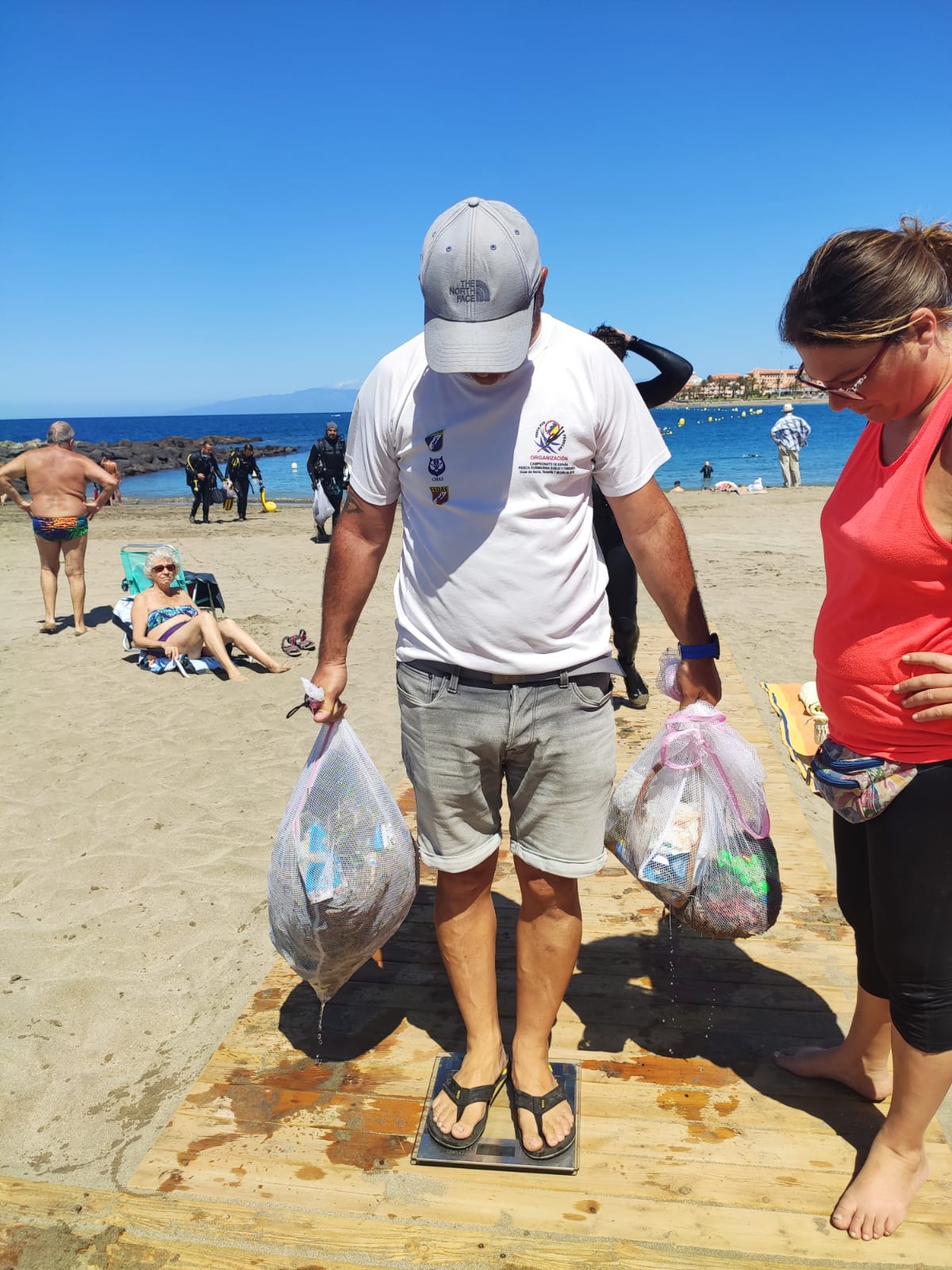
kilograms
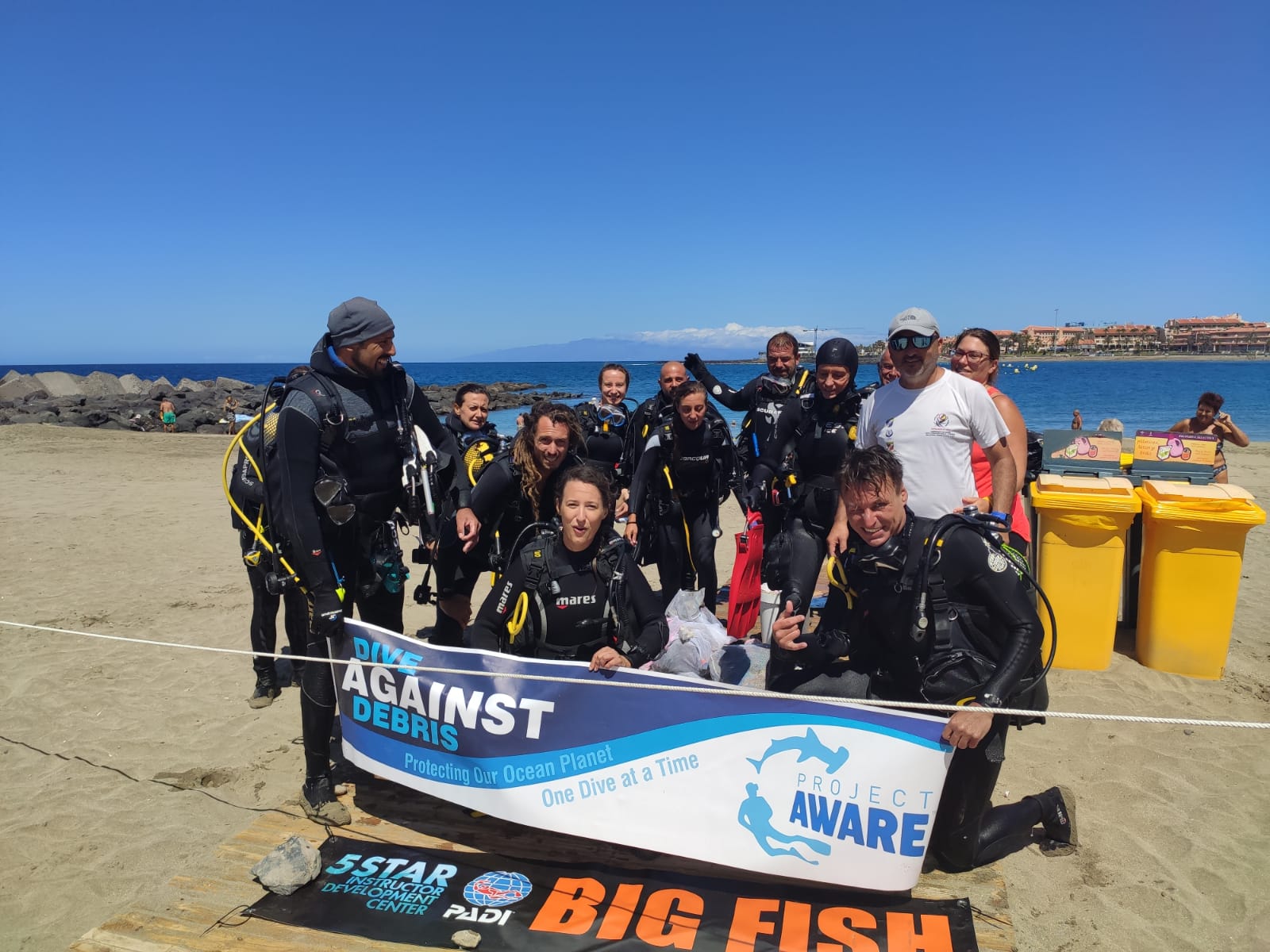
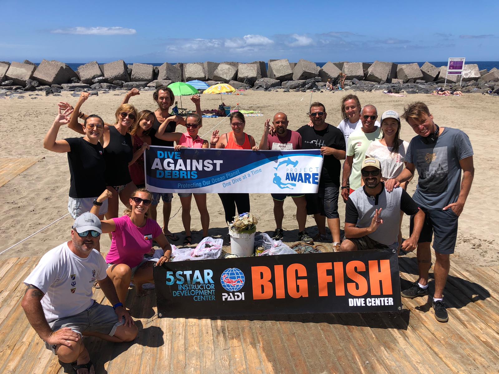
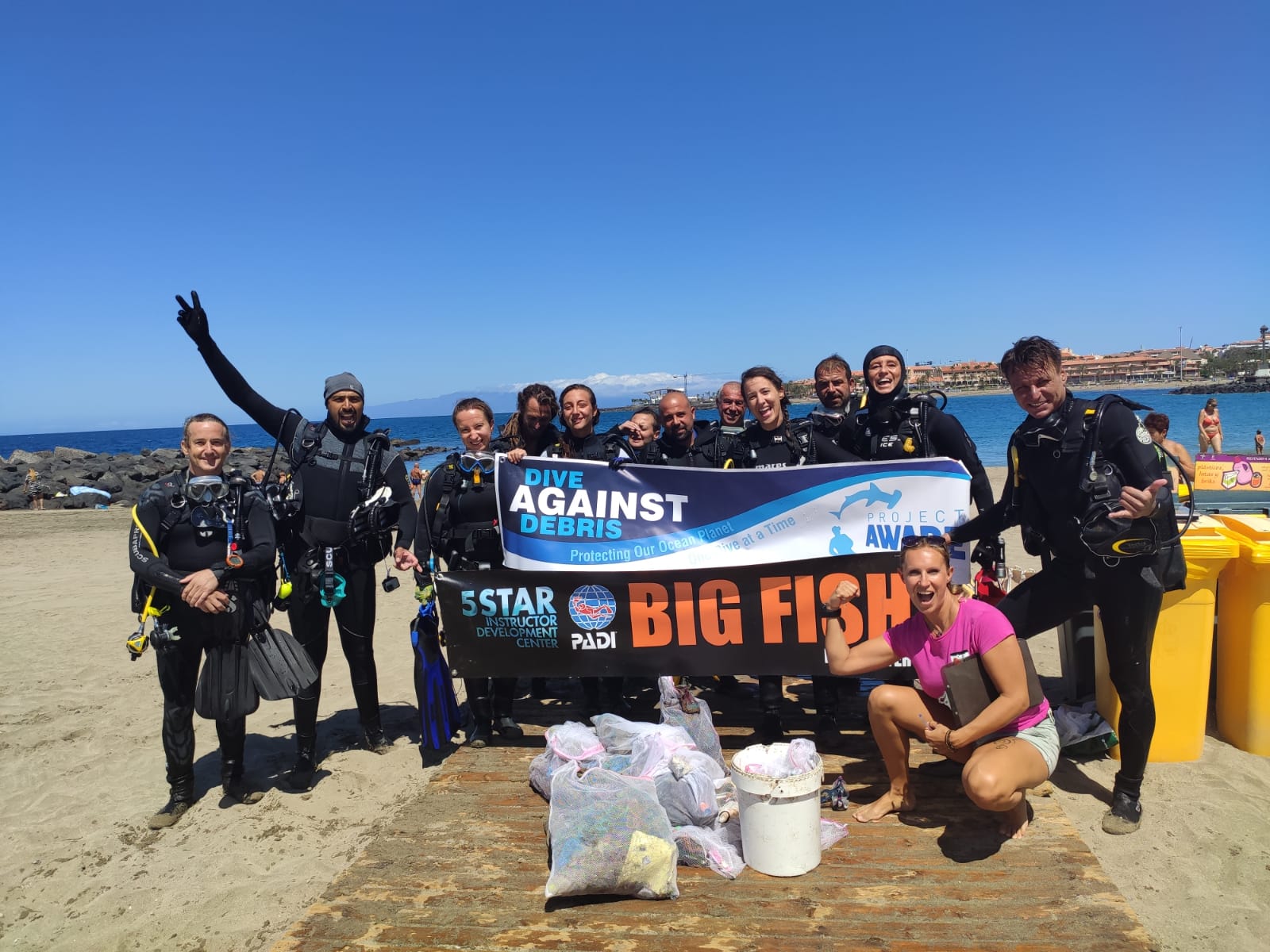
I have debris data to report
4
Calm (glassy to rippled) for waves 0 – 0.1 meter high
m2


meters
other
1
10
1
3
9
State\Province
Roma
City
Bracciano
Map Help
Dive Location
If you know your survey site coordinates, enter them manually in decimal degrees using WGS84 Map Datum. Use the minus sign for latitudes south of the equator and longitudes west of the Prime Meridian to 180 degrees.
If you do not know your survey site coordinates, click the “Map Location” tab to use the map to zoom into your survey site and drop the pin on the map to fall within your survey dive site in the water (not on land or the beach). Ensure you zoom in as much as possible to ensure data accuracy.
Entangled Help
Use the vertical tabs below to record any entangled animals you found of each type.
Ecosystem Other
Lake
Dominant Substrate Other
Ferns and Plants