Biorock
49
74
1
1
-8.358944, 116.041255
1
0
0
sand
0
1
1
52
0
Large girls that scuba dive we covered a huge area by slitting into 6 groups and taking each 2m depth range
Rain in Lombok and bad waste management
Plenty of photos but they will never load on the app unfortunately
Released
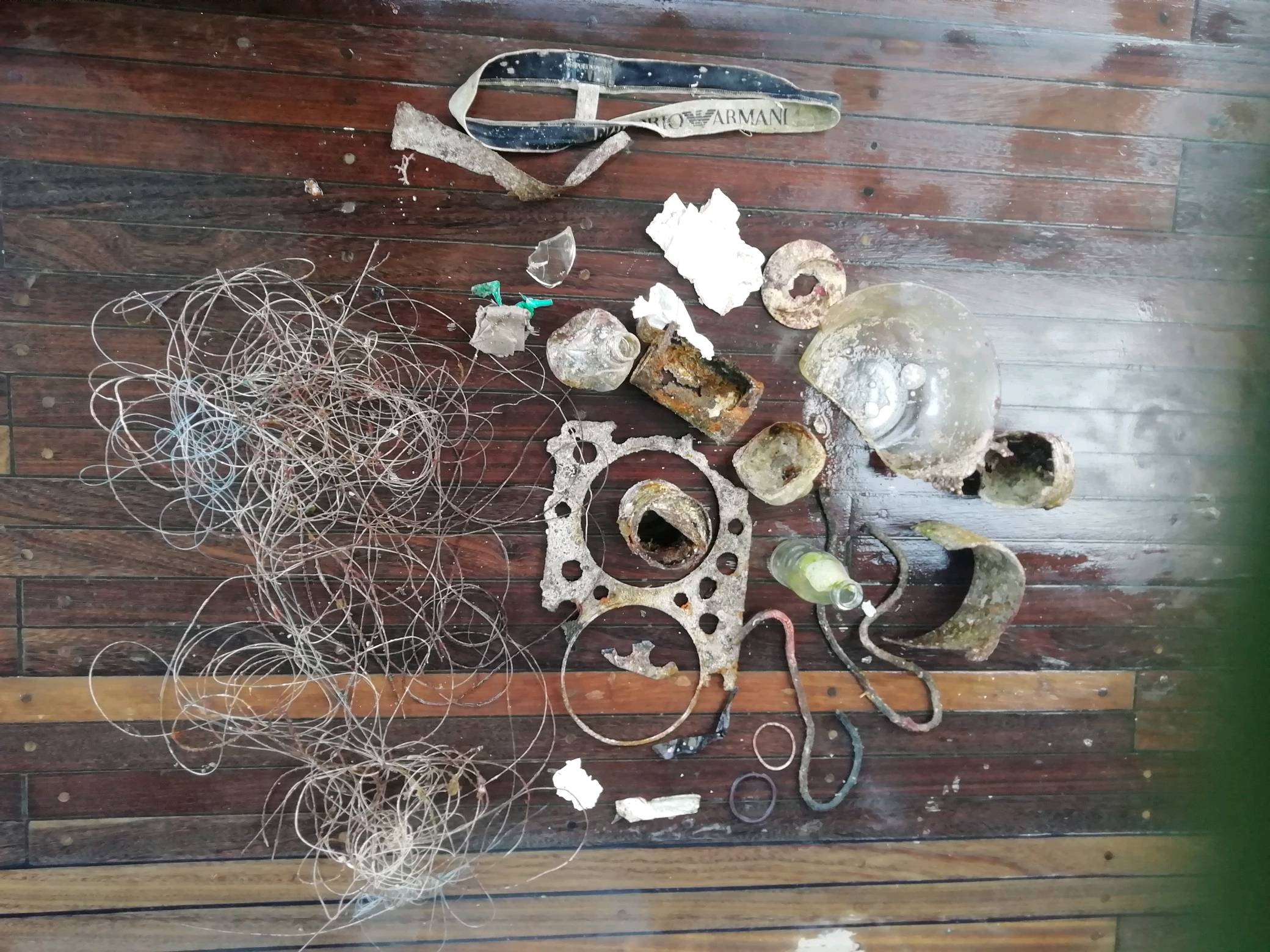
Nappies
Rainy, overcast, no wind, plenty of rainfall
1
Clothing
Gili Eco Trust
Sian
0
3
0
1
3
0
0
0
5
4
1
0
71
7
18
1
2
0
0
40
16
0
0
0
0
1
8
0
0
0
0
0
0
0
0
0
49.50
60
20.00
2.00
29
measured
8
0
0
4
12240.50
0
0
5
2
0
Nappies
Food and hygeine sachets
Fishing debris
0
On
kilograms
1
I have debris data to report
16
0
1
Smooth (wavelets) for waves 0.1 - 0.5 meter high
2
0
0
Ropes
Released Unharmed
Blenny
Crab
Injured
10
2
Cup, line
0
9
0
0
m2
2
2
2
Bottle
Hermit Crab
Released Unharmed
meters
coral reef
0
0
1
0
0
0
0
0
0
0
0
0
0
0
0
0
0
0
0
0
0
0
1
0
1
0
0
0
0
State\Province
Lombok
City
Gili Trawangan
Map Help
Dive Location
If you know your survey site coordinates, enter them manually in decimal degrees using WGS84 Map Datum. Use the minus sign for latitudes south of the equator and longitudes west of the Prime Meridian to 180 degrees.
If you do not know your survey site coordinates, click the “Map Location” tab to use the map to zoom into your survey site and drop the pin on the map to fall within your survey dive site in the water (not on land or the beach). Ensure you zoom in as much as possible to ensure data accuracy.
Entangled Help