Glass Beach
7
4
sand
2
2
35.232019045714, 139.72874618235
No
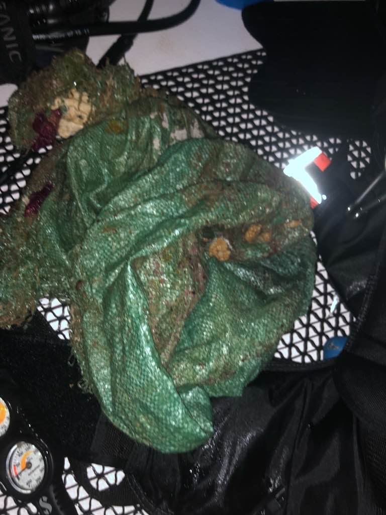
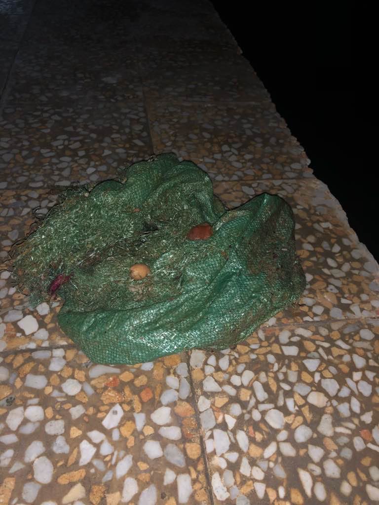
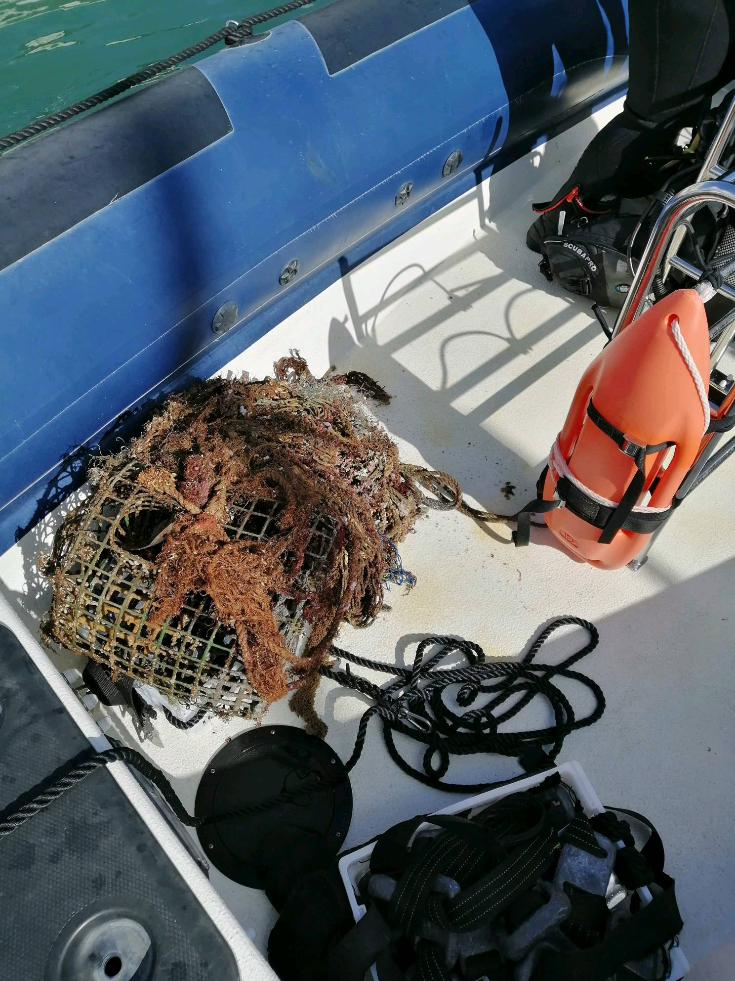
Amazing eco system with incredible wildlife. Always trash there.
Large metal fishing hook for sharks
Sunny with slight rain.
Victoria Sengelman
3
9
3
3
3
24.00
55
19.00
5.00
estimated
1
2
400.00
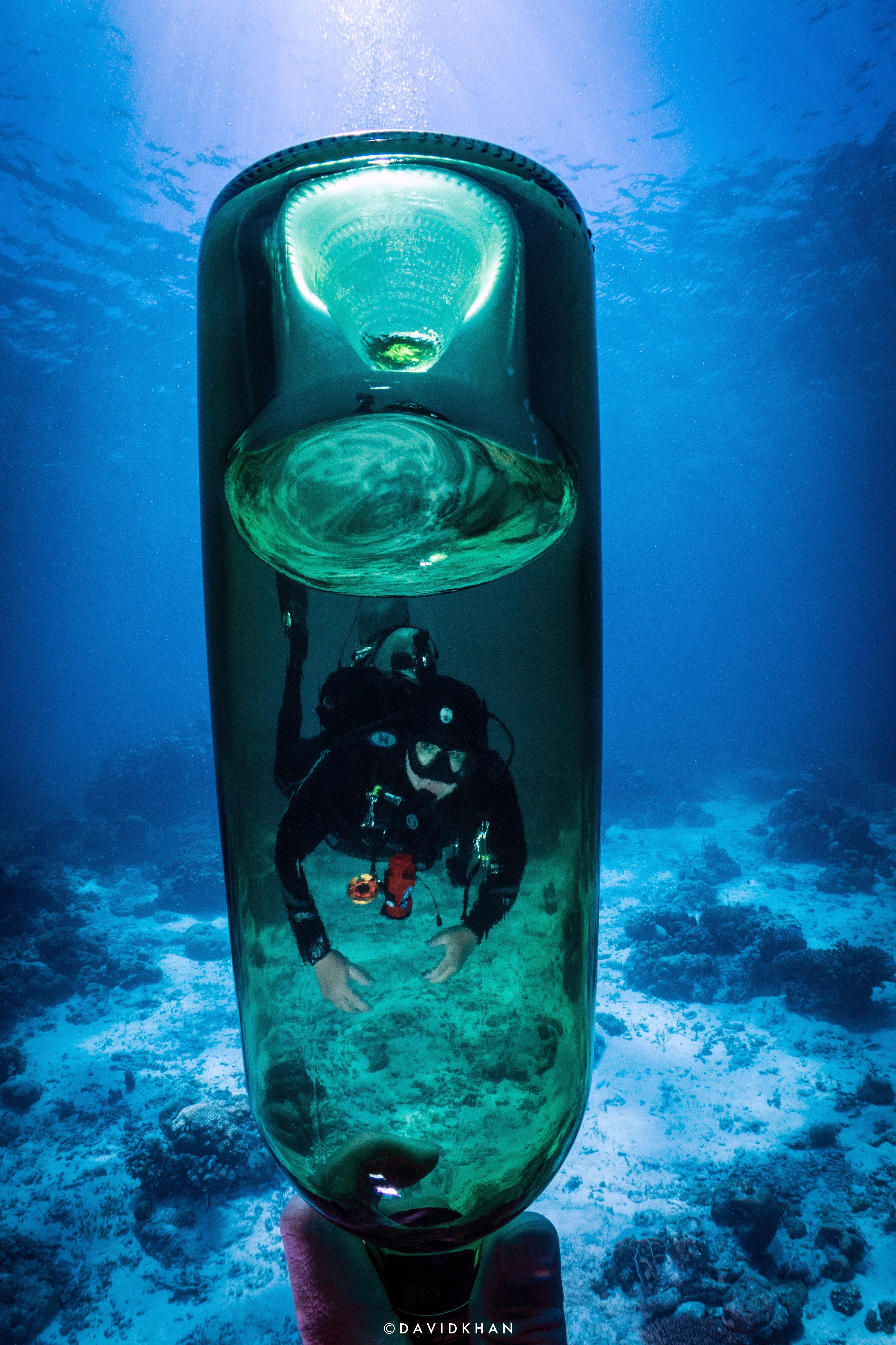
Drinking bottles
On
pounds
I have debris data to report
Smooth (wavelets) for waves 0.1 - 0.5 meter high
3
ft2


feet
rocky reef
3
4
5
6
State\Province
Kanagawa
City
Uraga
Map Help
Dive Location
If you know your survey site coordinates, enter them manually in decimal degrees using WGS84 Map Datum. Use the minus sign for latitudes south of the equator and longitudes west of the Prime Meridian to 180 degrees.
If you do not know your survey site coordinates, click the “Map Location” tab to use the map to zoom into your survey site and drop the pin on the map to fall within your survey dive site in the water (not on land or the beach). Ensure you zoom in as much as possible to ensure data accuracy.
Entangled Help