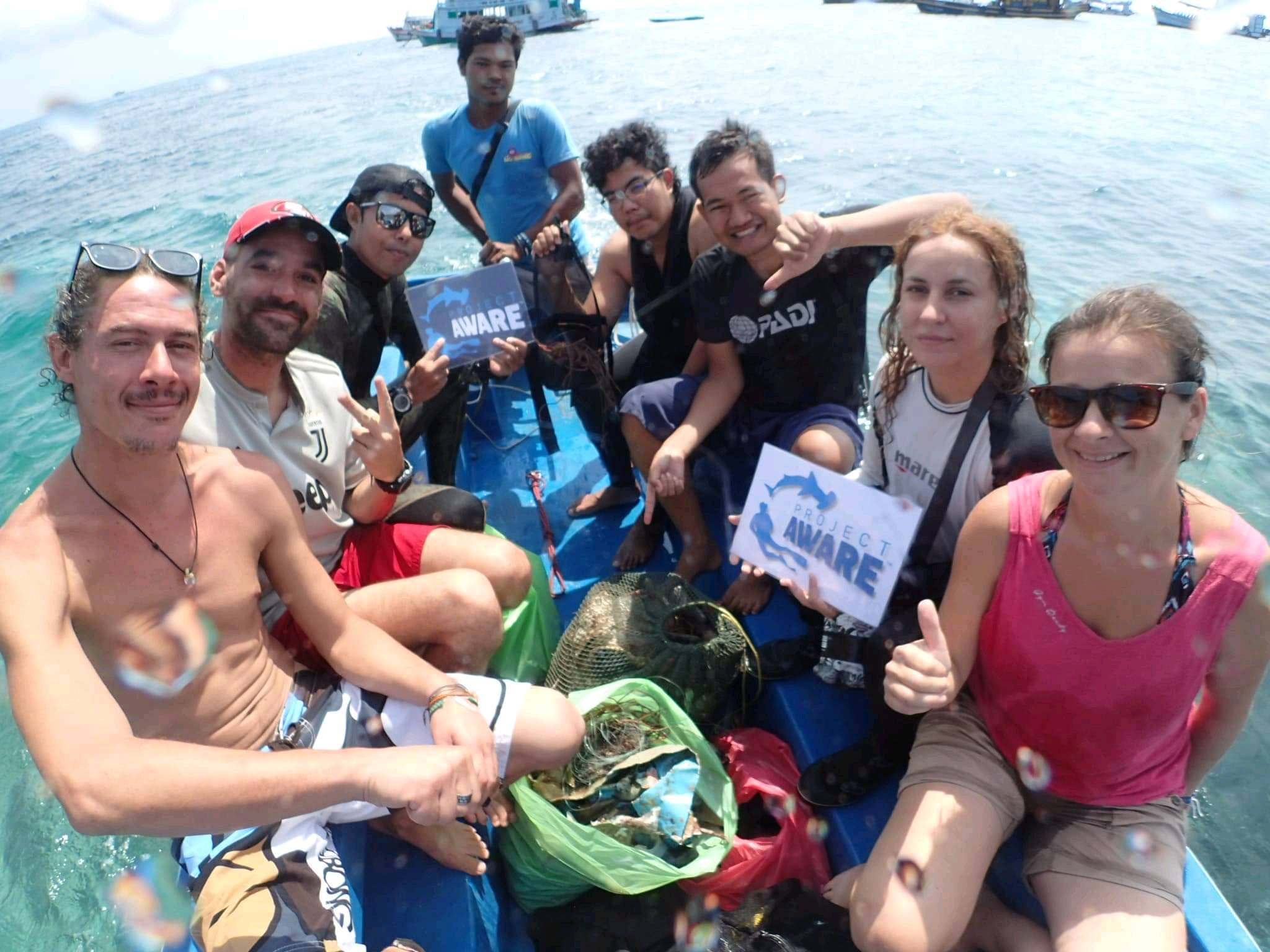
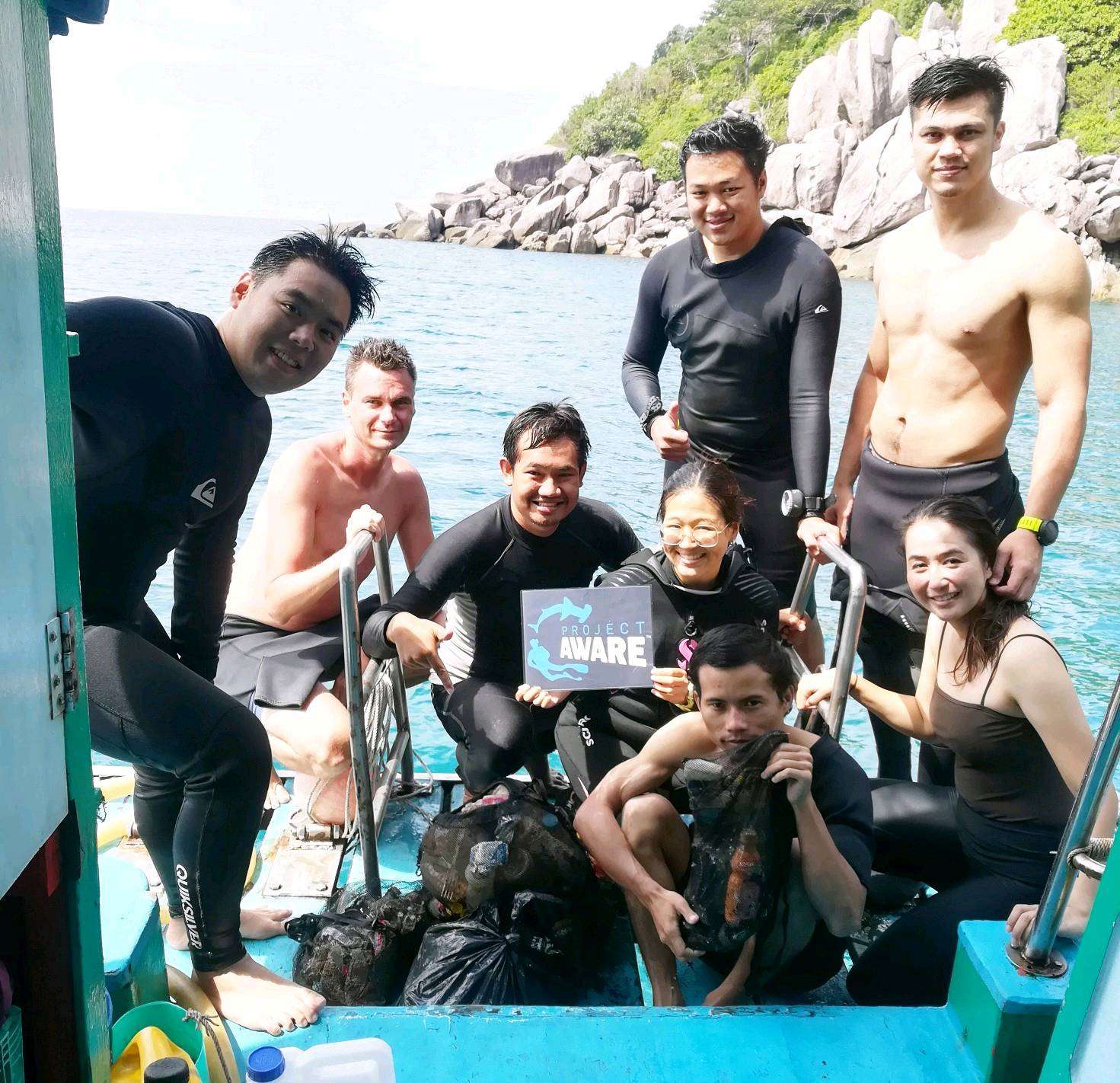
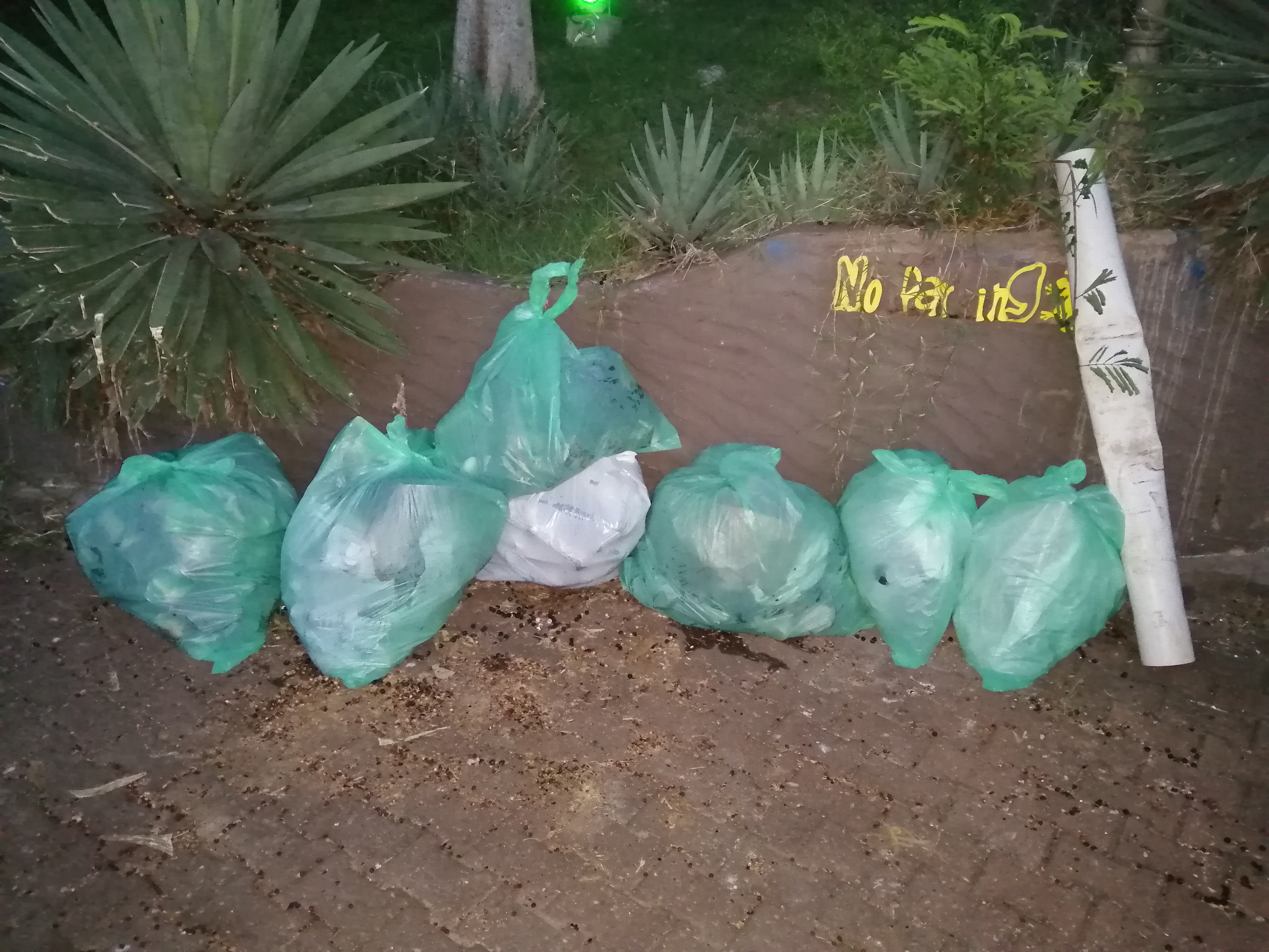
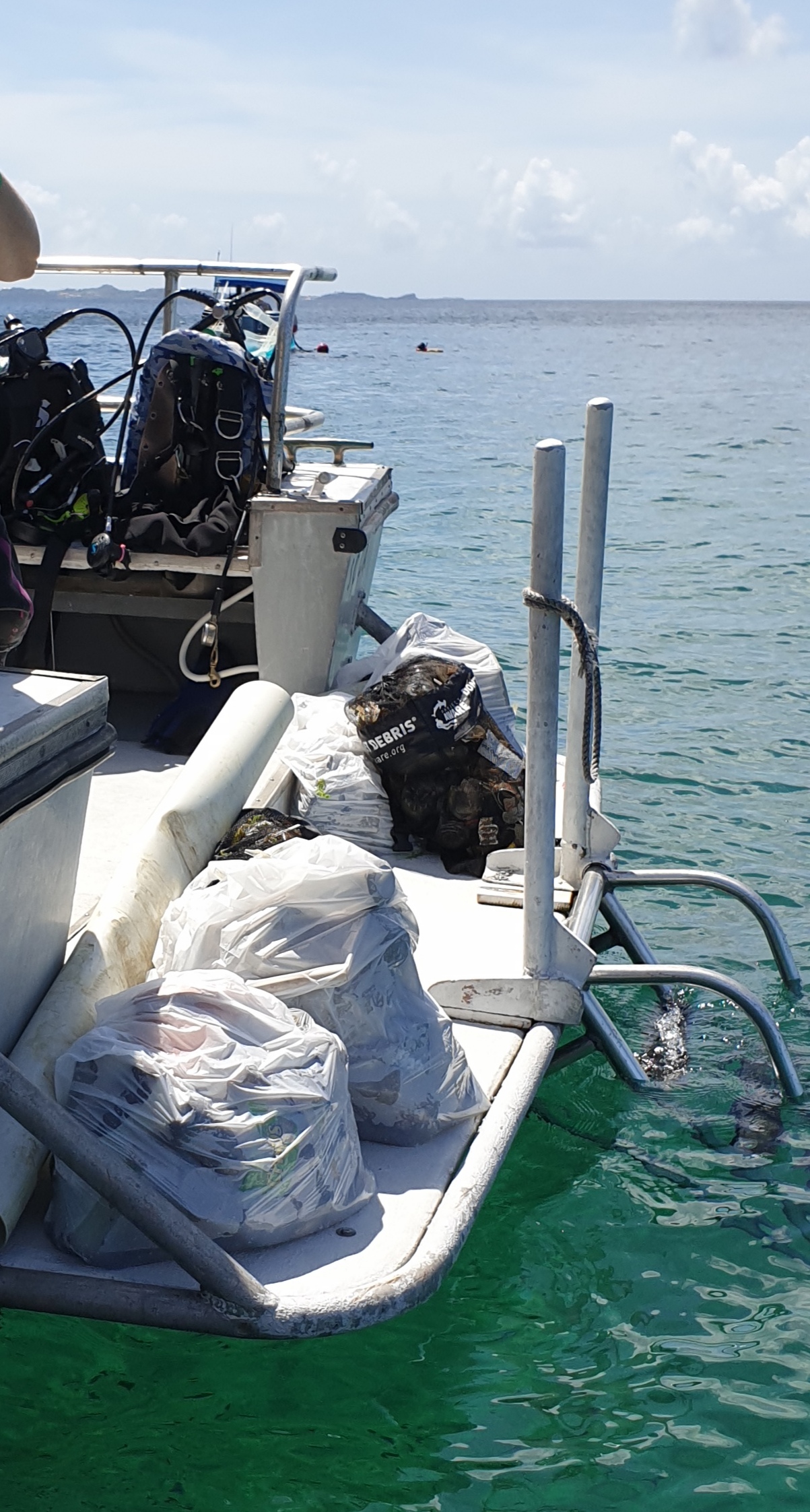
Loutraki Harbor 21/9/2019 Loutraki Dive club
31
8
1
4
sand
13
12
37.97884614601, 22.975313003631
Loutraki Harbor 21/9/2019 Loutraki Dive club
At this event we were 3 divers, 3 surface support(2 of them in a boat) and 4 land support
very good
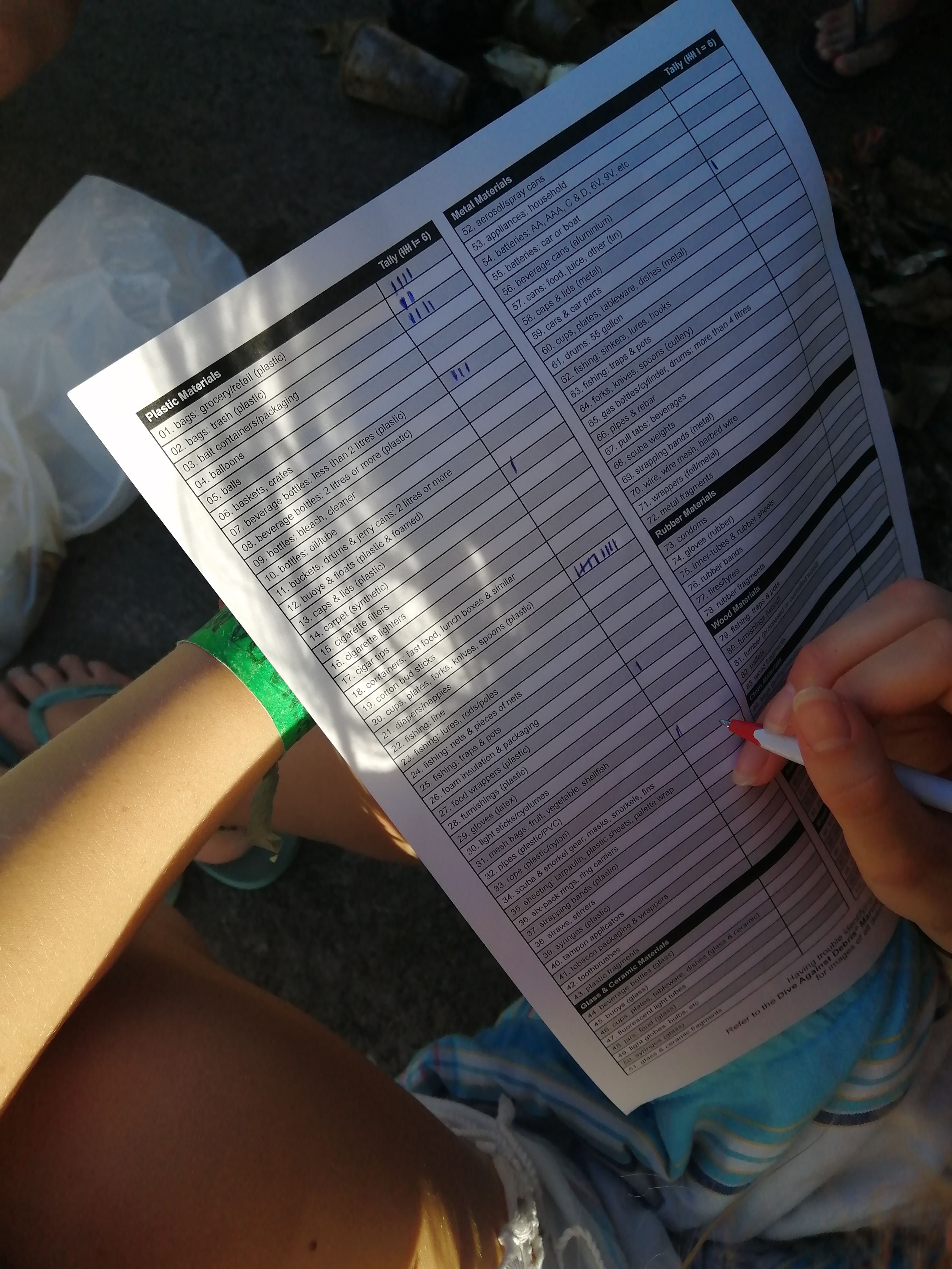
1
1
1
1
3
1
1
1
1
1
1
1
1
1
2
5
1
1
1
1
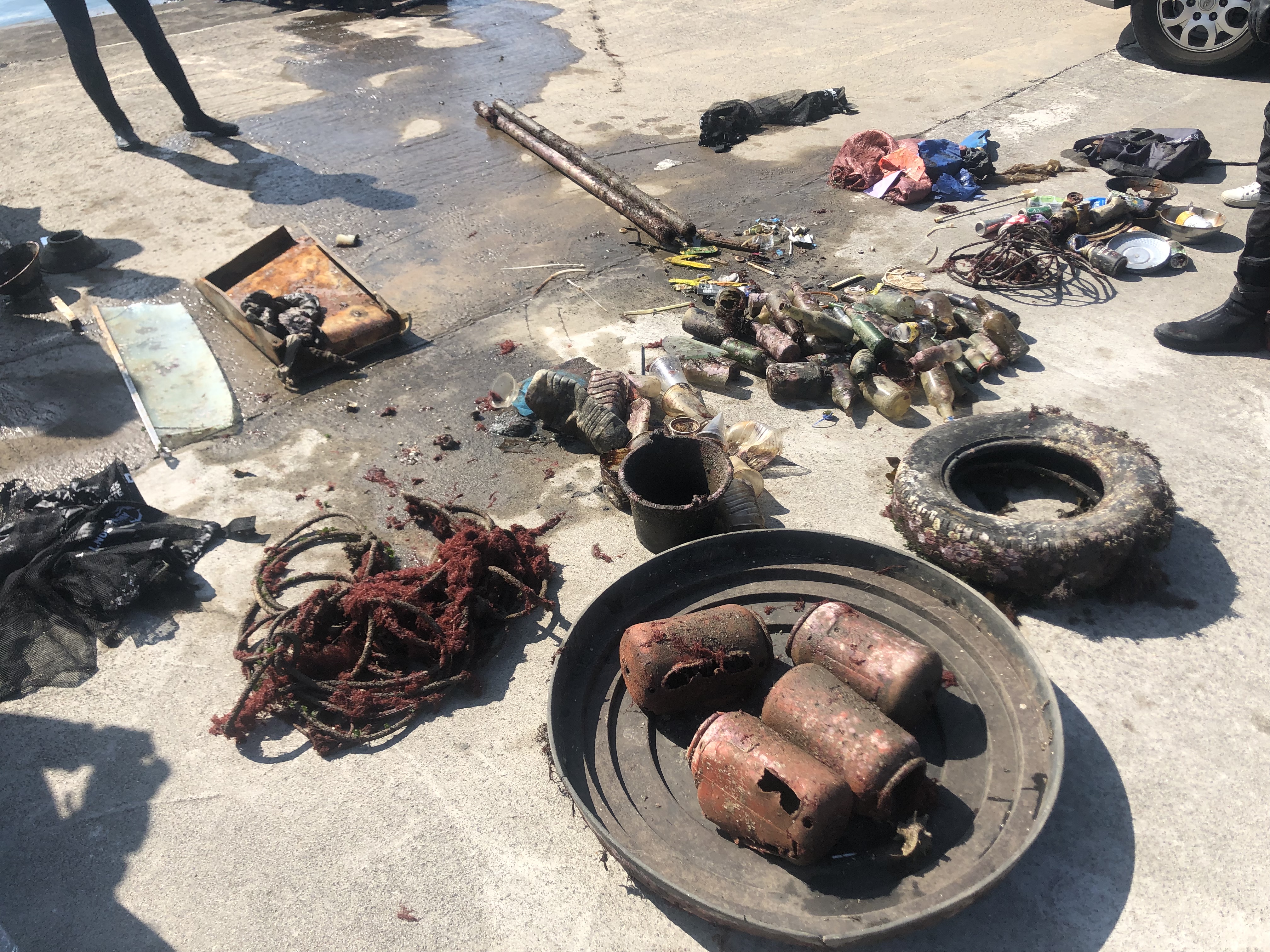
sunglasses
plastic flower pot
remote control
watch
line reel
pills tablet
inflated lifebuoy
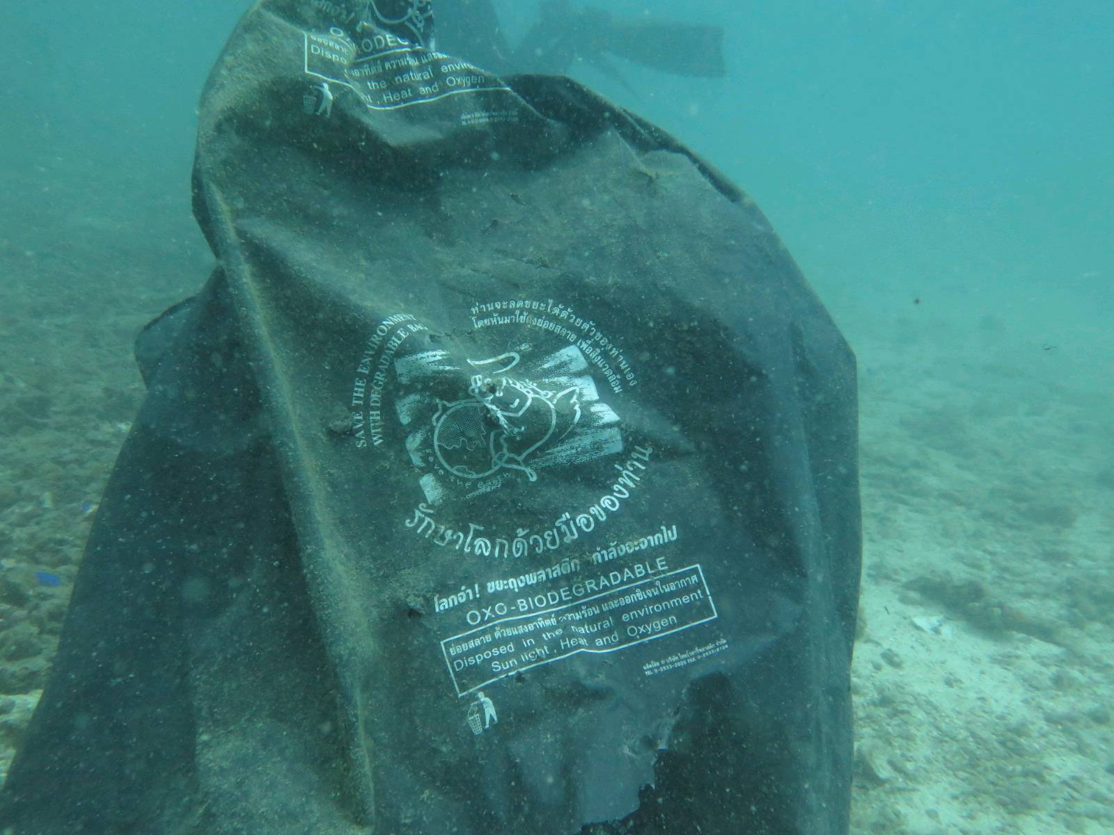
plastic apron
bathroom curtain rod
Hand net
bullet
blanket
anchor
bicycle
film
chain
aluminum profile
lifting belt
dog collar
navigation lamp
Loutraki Dive Club
Nikos_Ba
2
8
44
2
1
1
3
3
3
49
7
126.00
48
6.50
2.00
18
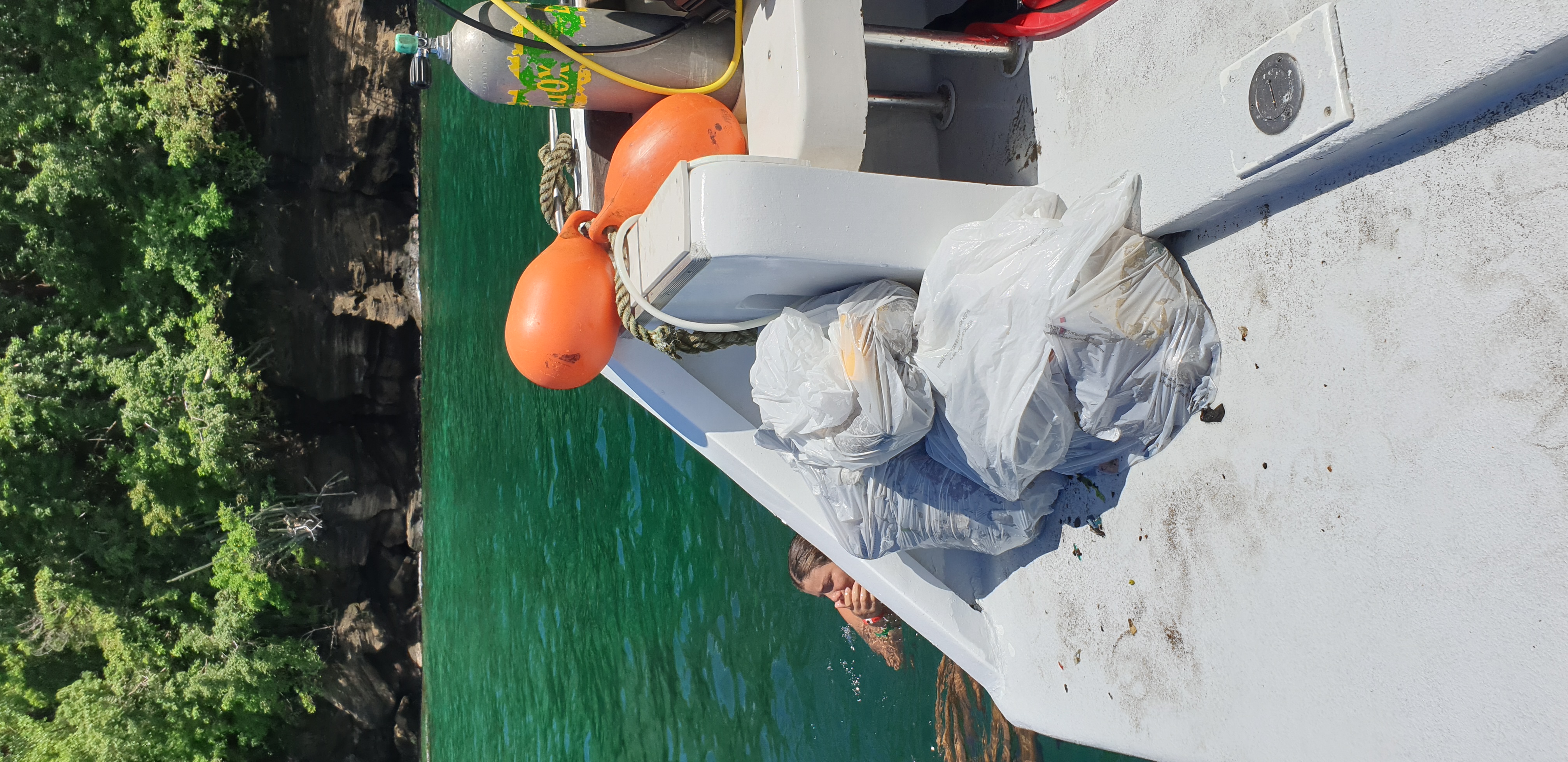
measured
1032.00
1
On
kilograms
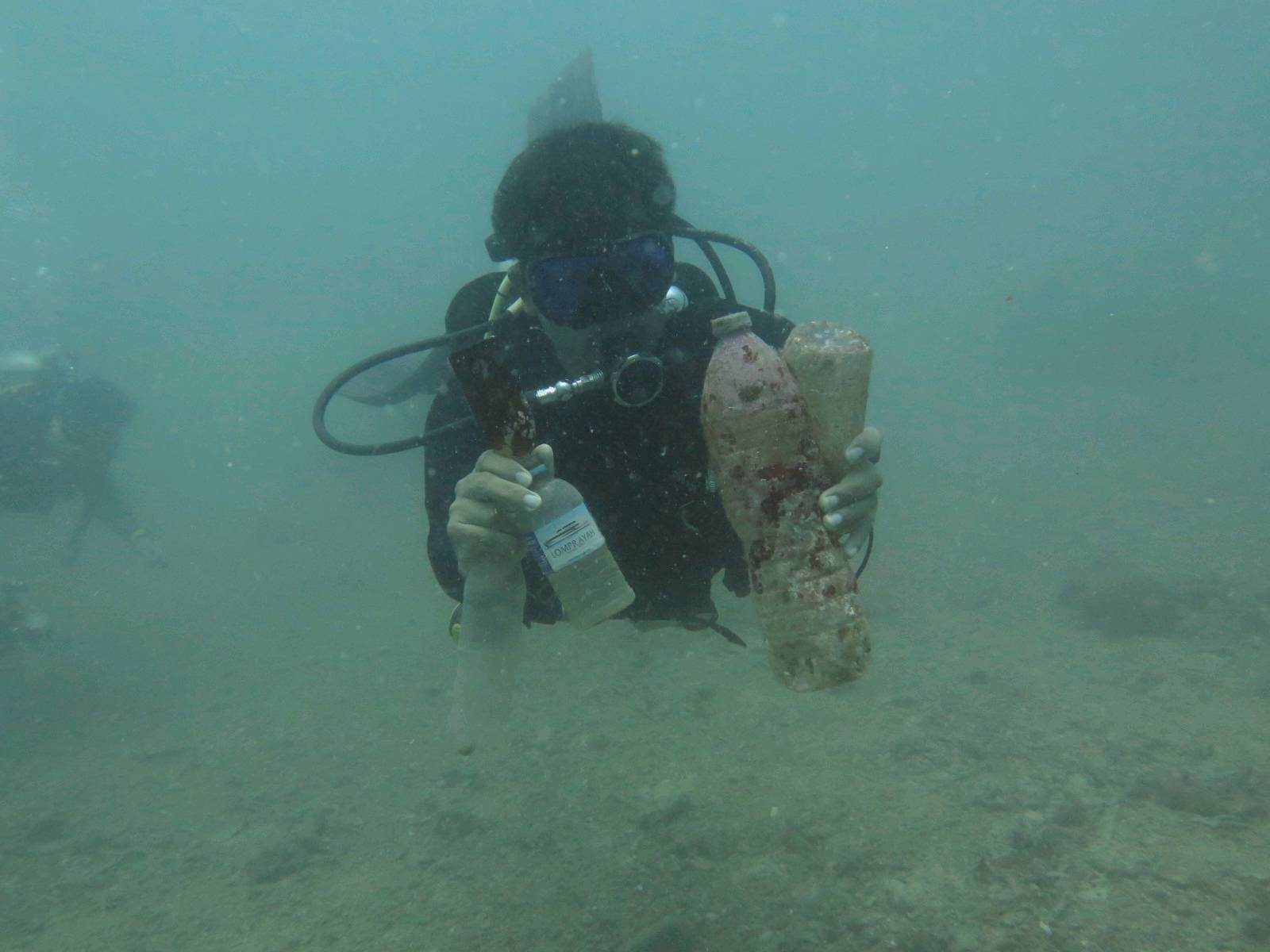
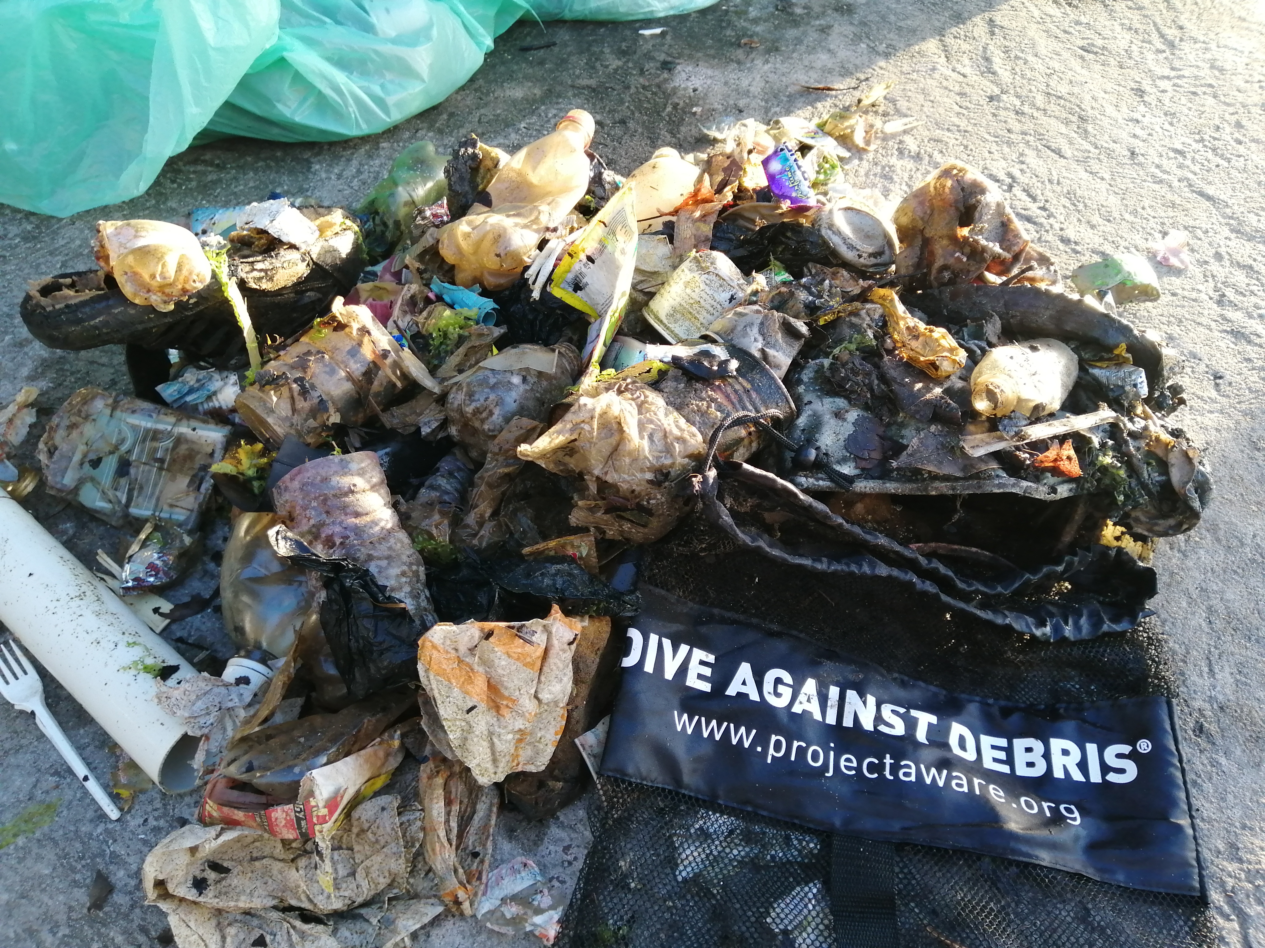
I have debris data to report
10
Calm (glassy to rippled) for waves 0 – 0.1 meter high
13
1
m2


4
meters
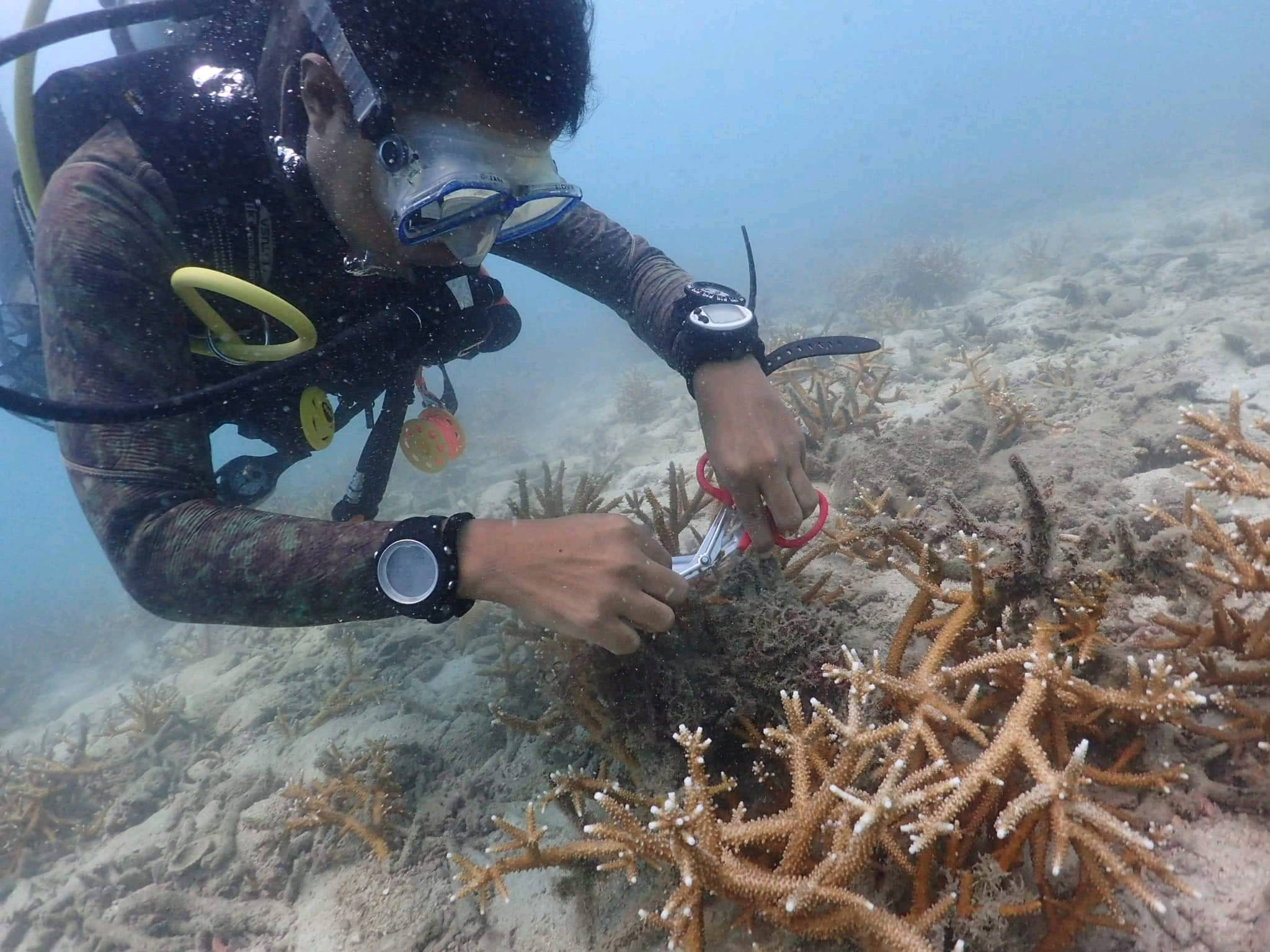
seagrass
5
1
2
2
2
1
2
138
1
9
State\Province
Corinthia
City
Loutraki
Map Help
Dive Location
If you know your survey site coordinates, enter them manually in decimal degrees using WGS84 Map Datum. Use the minus sign for latitudes south of the equator and longitudes west of the Prime Meridian to 180 degrees.
If you do not know your survey site coordinates, click the “Map Location” tab to use the map to zoom into your survey site and drop the pin on the map to fall within your survey dive site in the water (not on land or the beach). Ensure you zoom in as much as possible to ensure data accuracy.
Entangled Help