Shinos
7
3
1
sand
32
38.055508149714, 23.042788516007
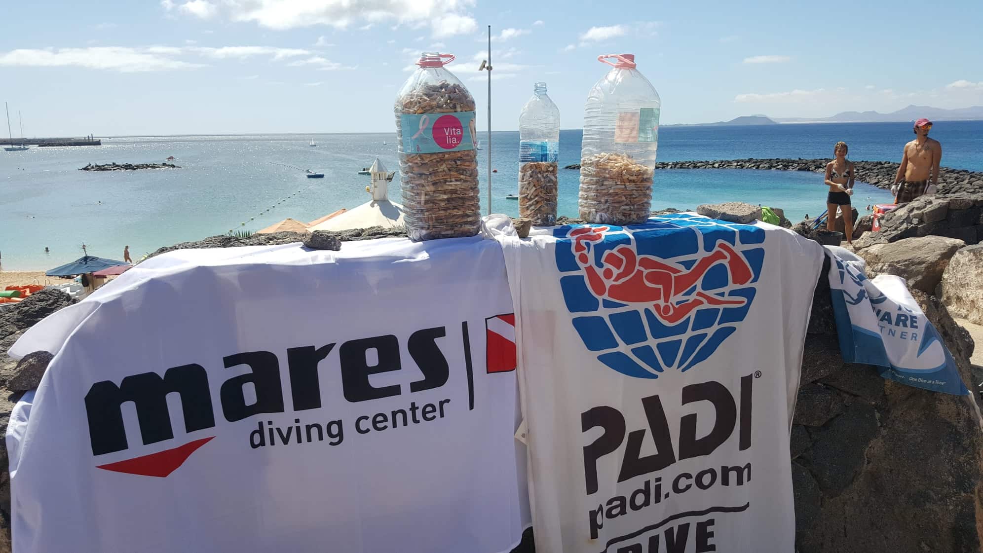
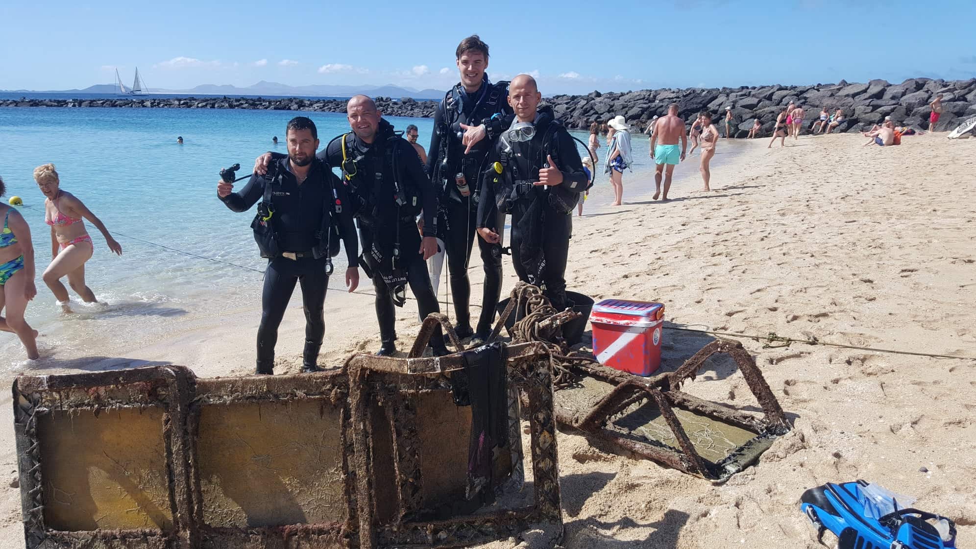
Loutraki Dive Club 20/7/2019 Shinos
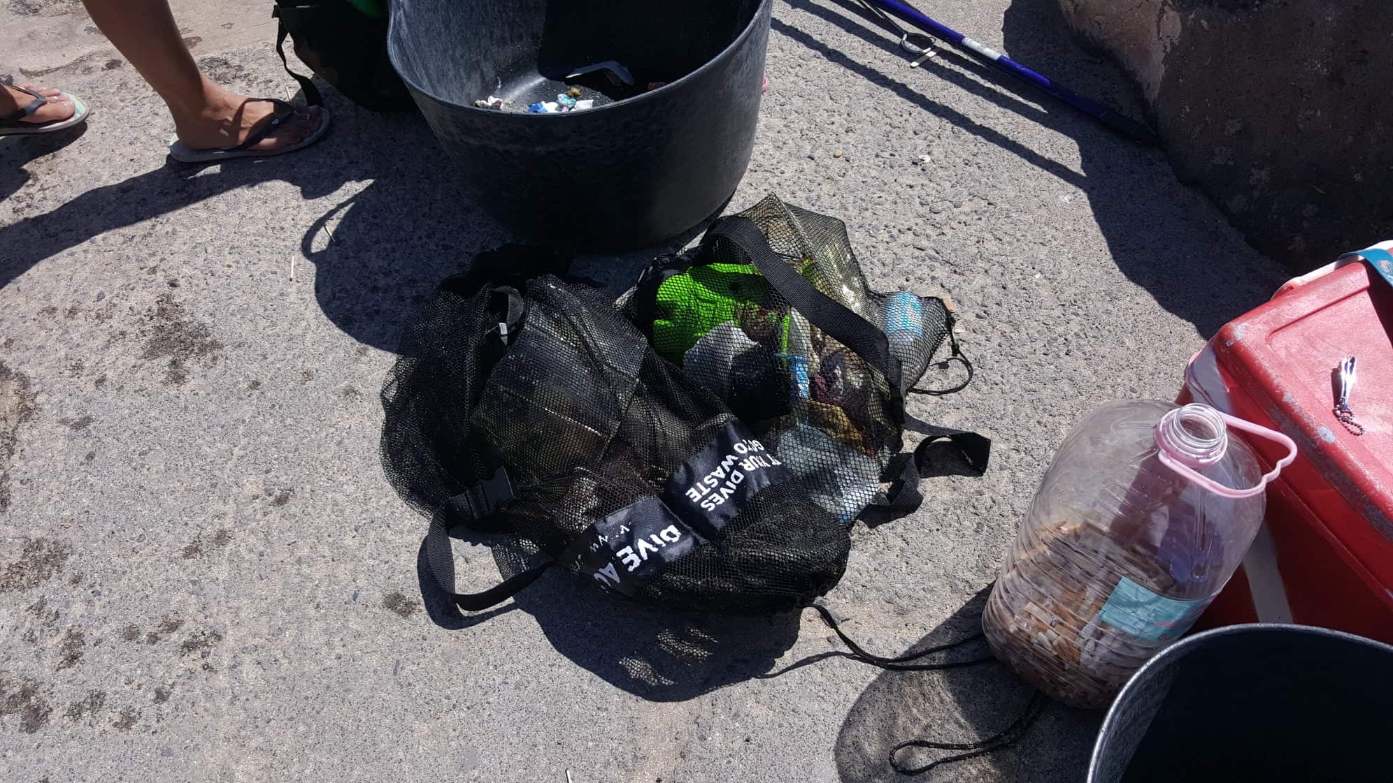
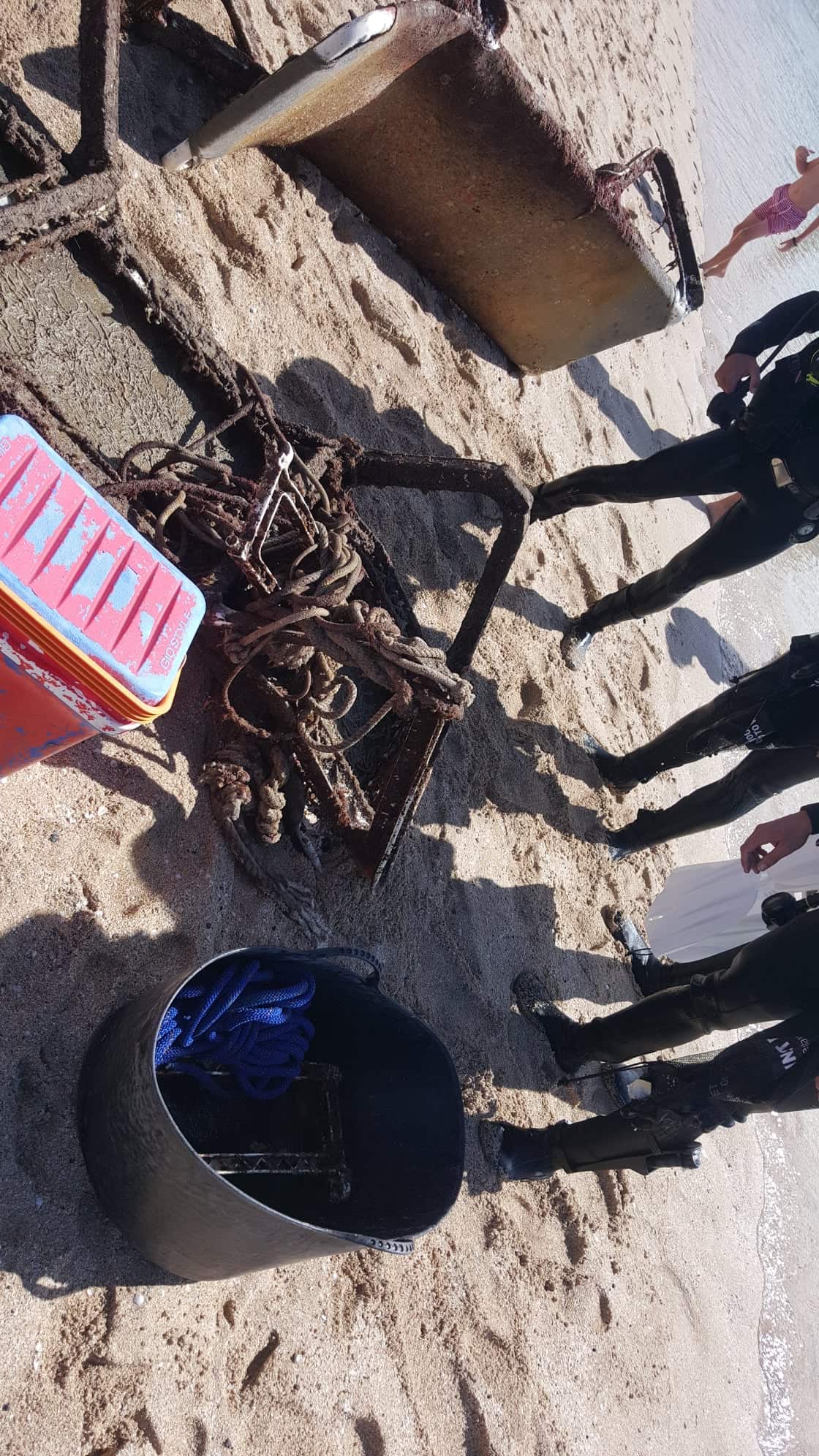
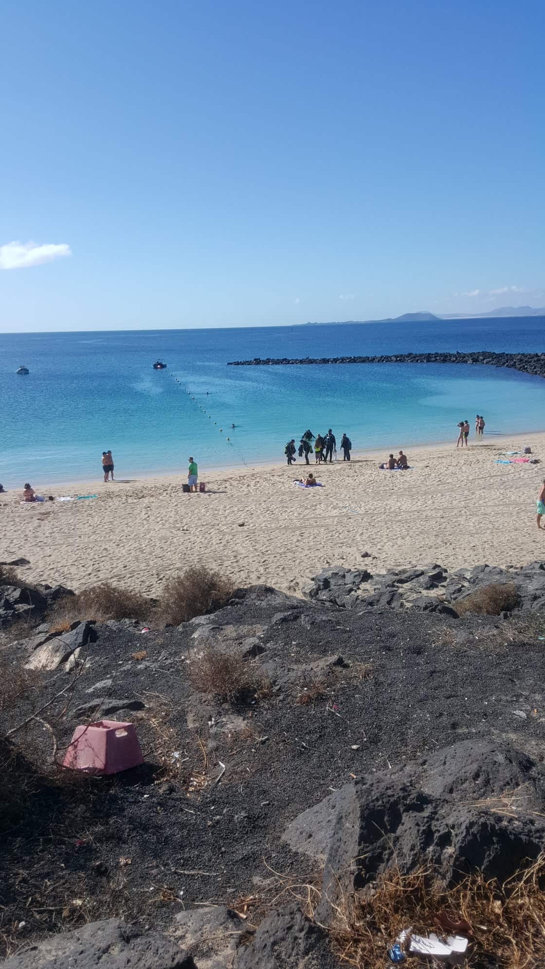
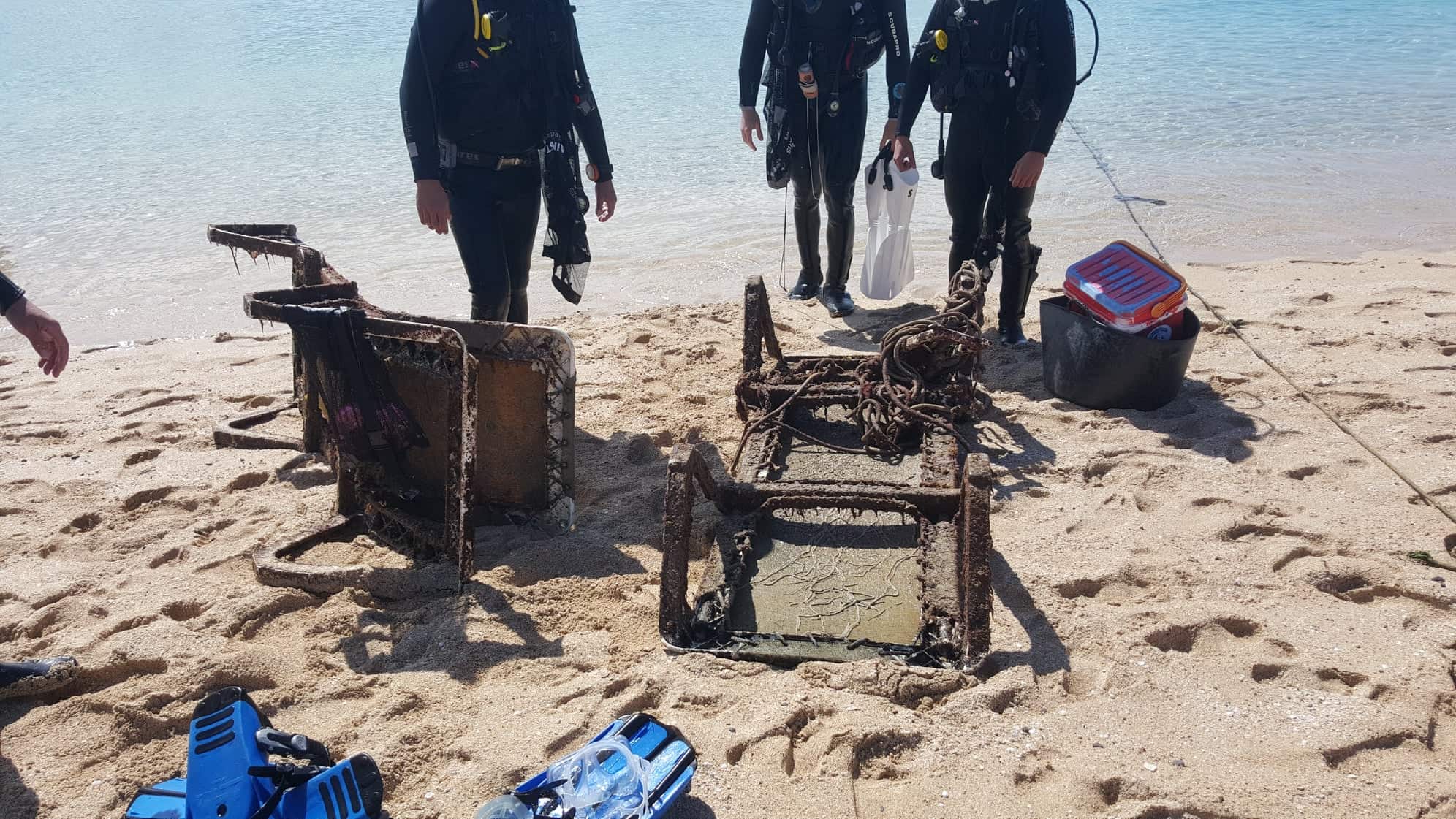
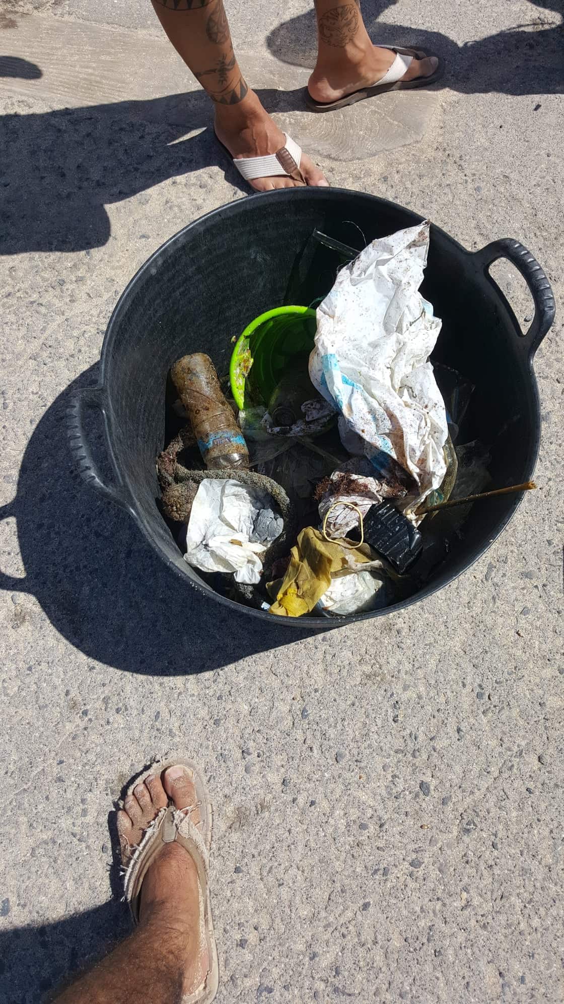
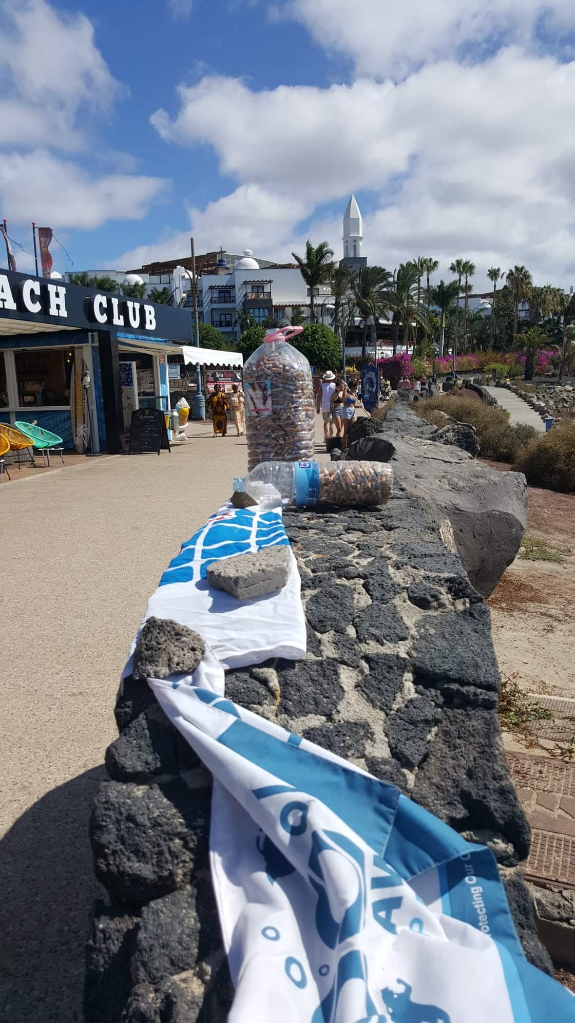
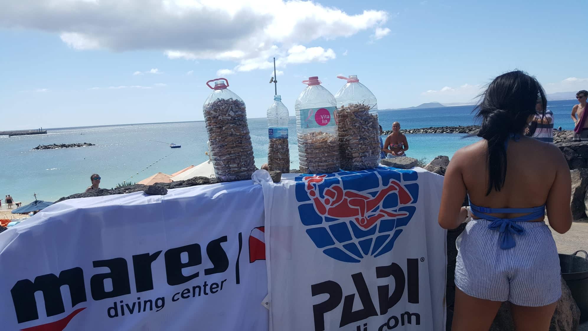
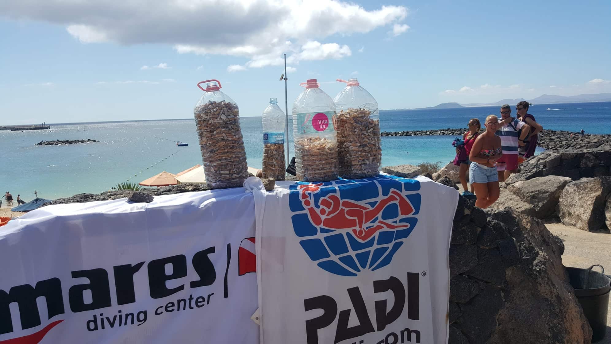
At this event we were 3 divers 1 surface and 5 land support. A beach cleanup also took place!
good
4
1
1
1
boat fragments
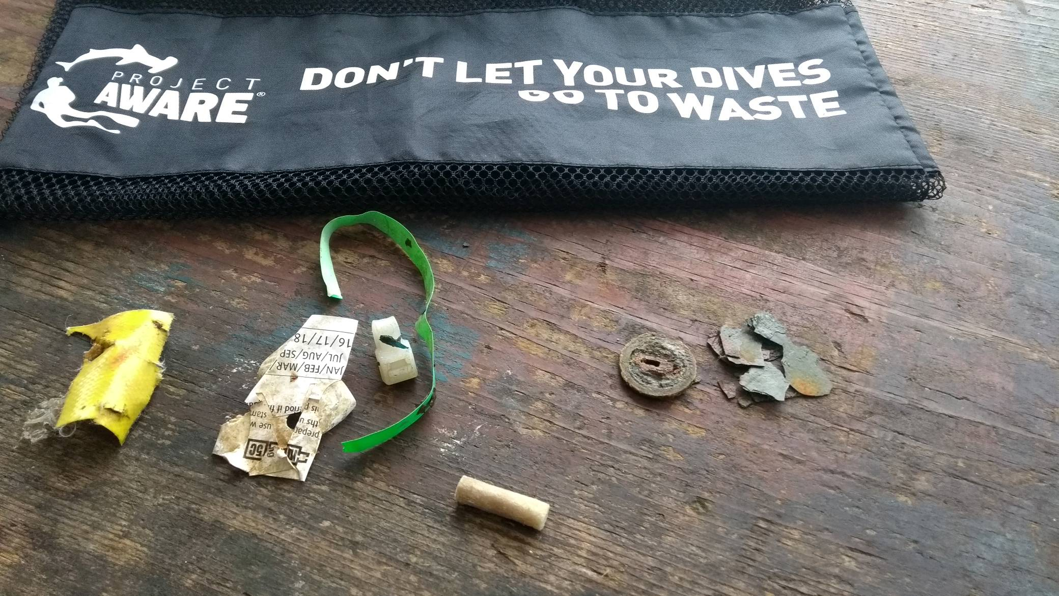
plastic sack
tulle
pen
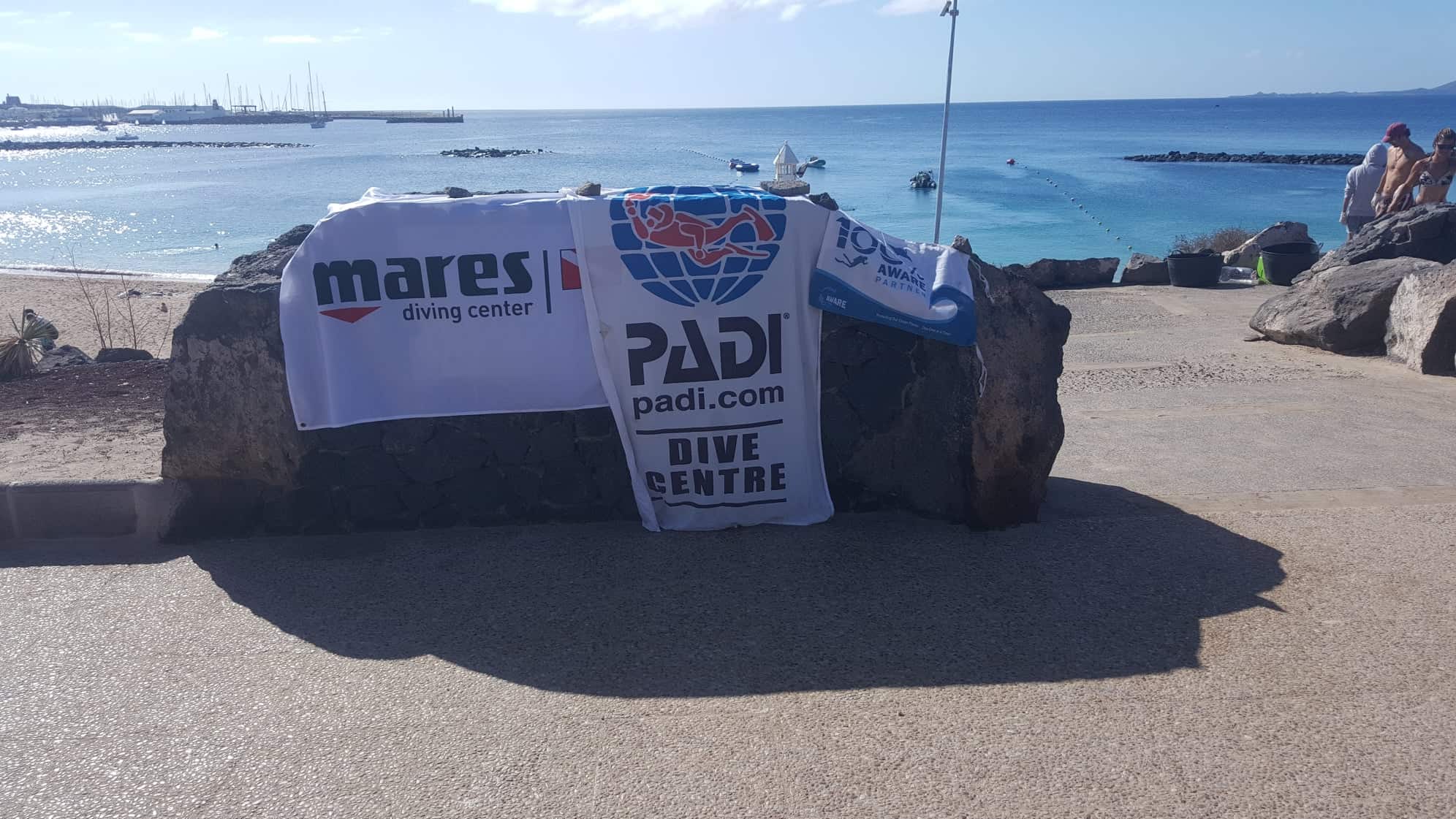
Loutraki Dive Club
Nikos_Ba
1
4
3
3
1
3
62.00
47
10.50
3.00
6
measured
1102.00
On
kilograms
I have debris data to report
6
Smooth (wavelets) for waves 0.1 - 0.5 meter high
1
1
m2


meters
seagrass
10
3
State\Province
Corinthia
City
Loutraki
Map Help
Dive Location
If you know your survey site coordinates, enter them manually in decimal degrees using WGS84 Map Datum. Use the minus sign for latitudes south of the equator and longitudes west of the Prime Meridian to 180 degrees.
If you do not know your survey site coordinates, click the “Map Location” tab to use the map to zoom into your survey site and drop the pin on the map to fall within your survey dive site in the water (not on land or the beach). Ensure you zoom in as much as possible to ensure data accuracy.
Entangled Help