ADS470 - Puntilla Wall
11
23
5
19.7617063, -70.5187583
5
9
9
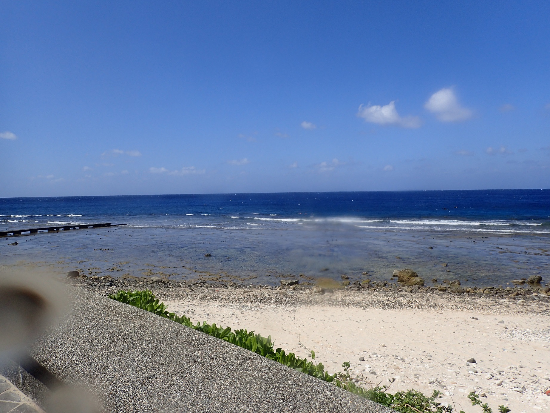
Heavy rain & some medium size ocean swells
Waves & rain
Superior Dive Sosua
Luke Charles-Short
8
20
1
6
3
8
10
5
8
12.00
60
20.00
5.00
measured
10
300.00
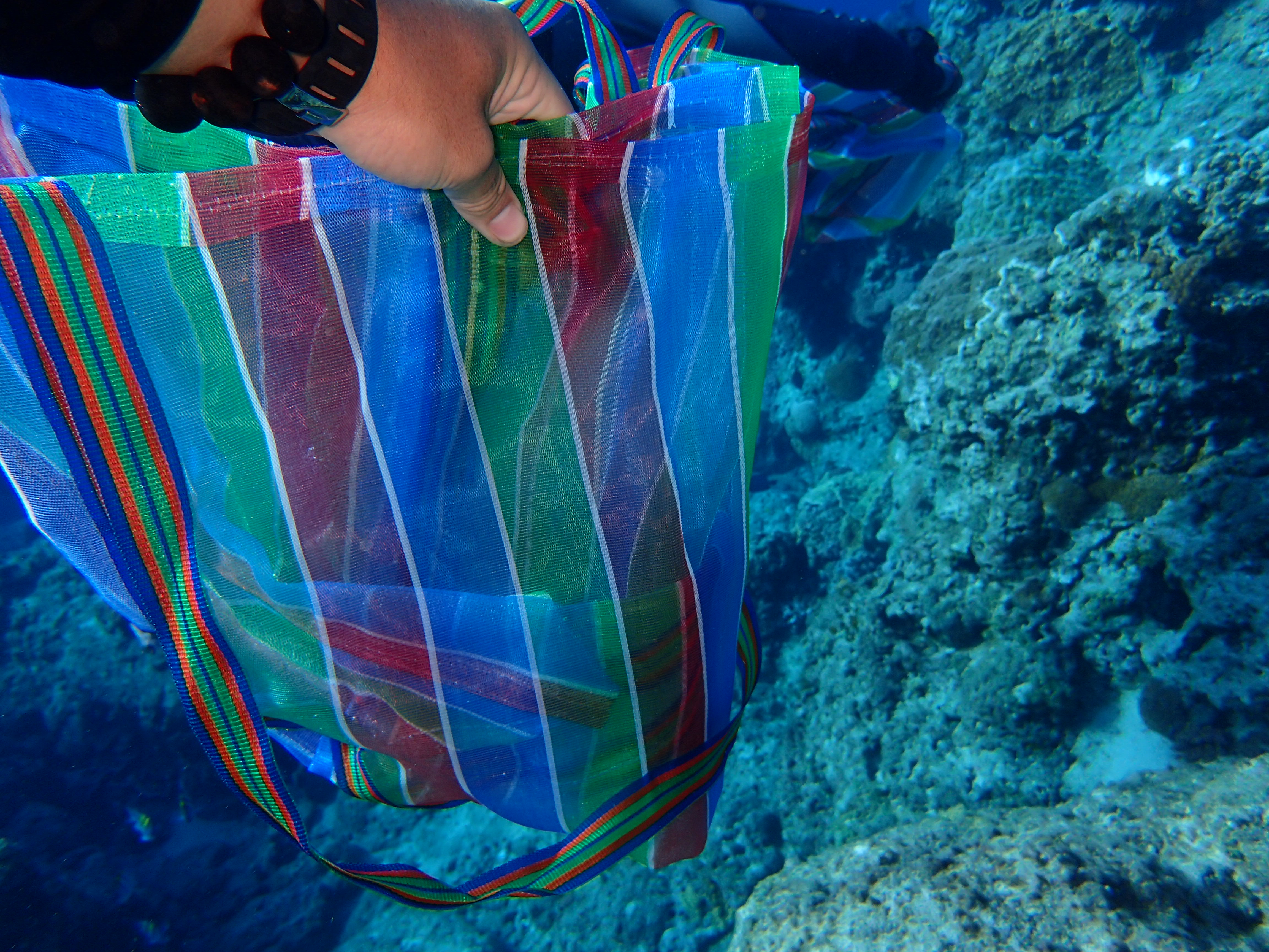
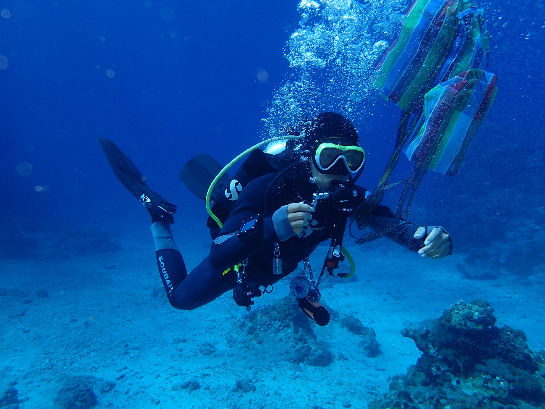
Plastic
Fishing Lines
Cans
On
pounds
I have debris data to report
3
Slight for waves 0.5 -1.25 meter high
2
2
2
m2
2
meters
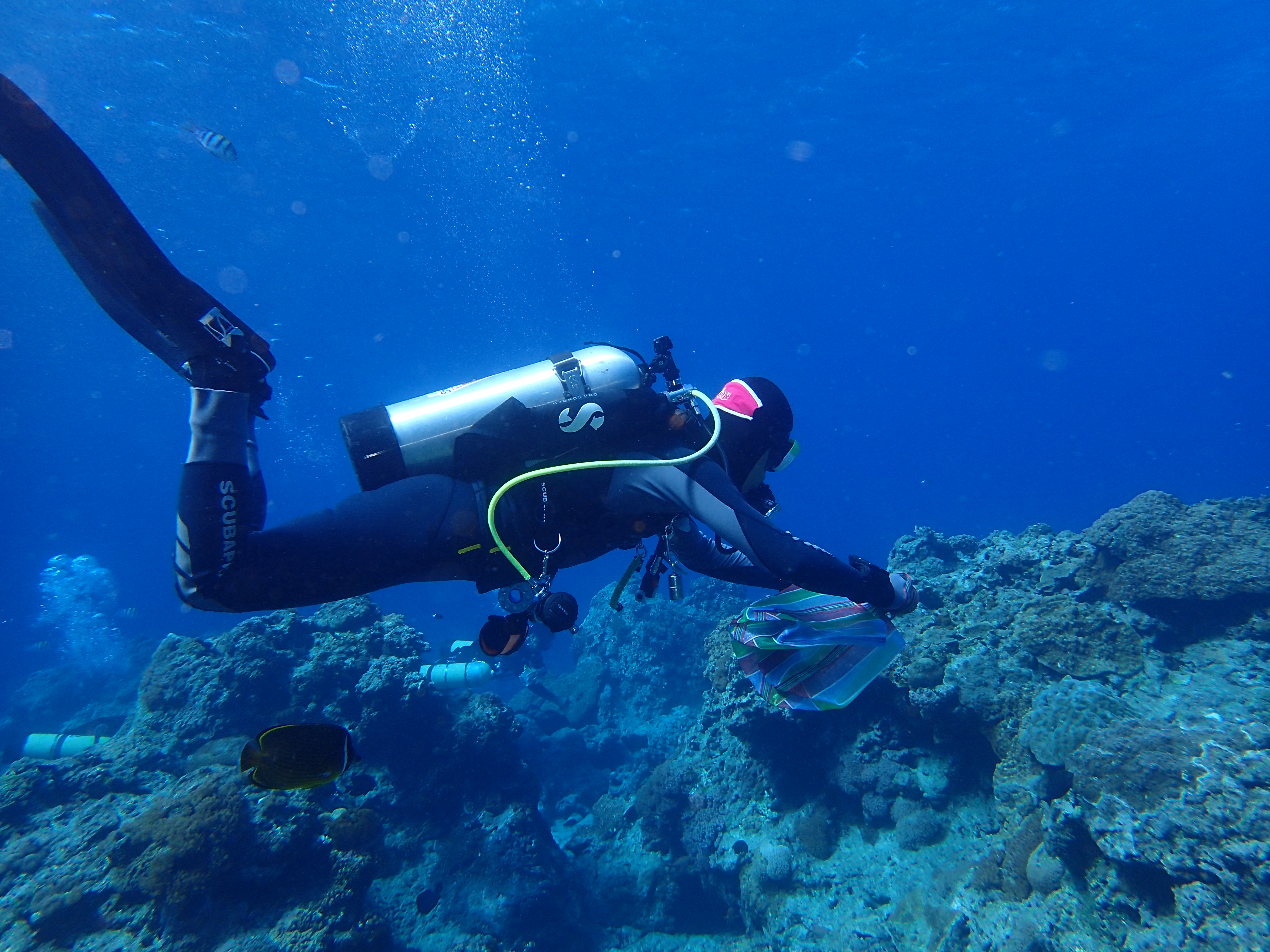
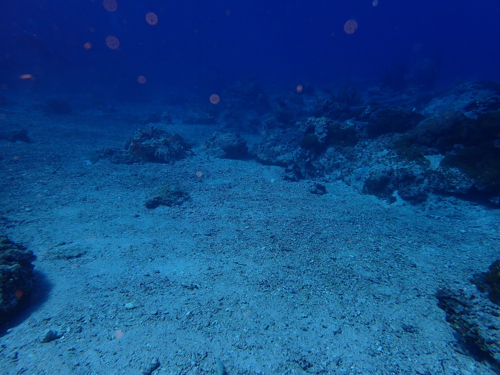
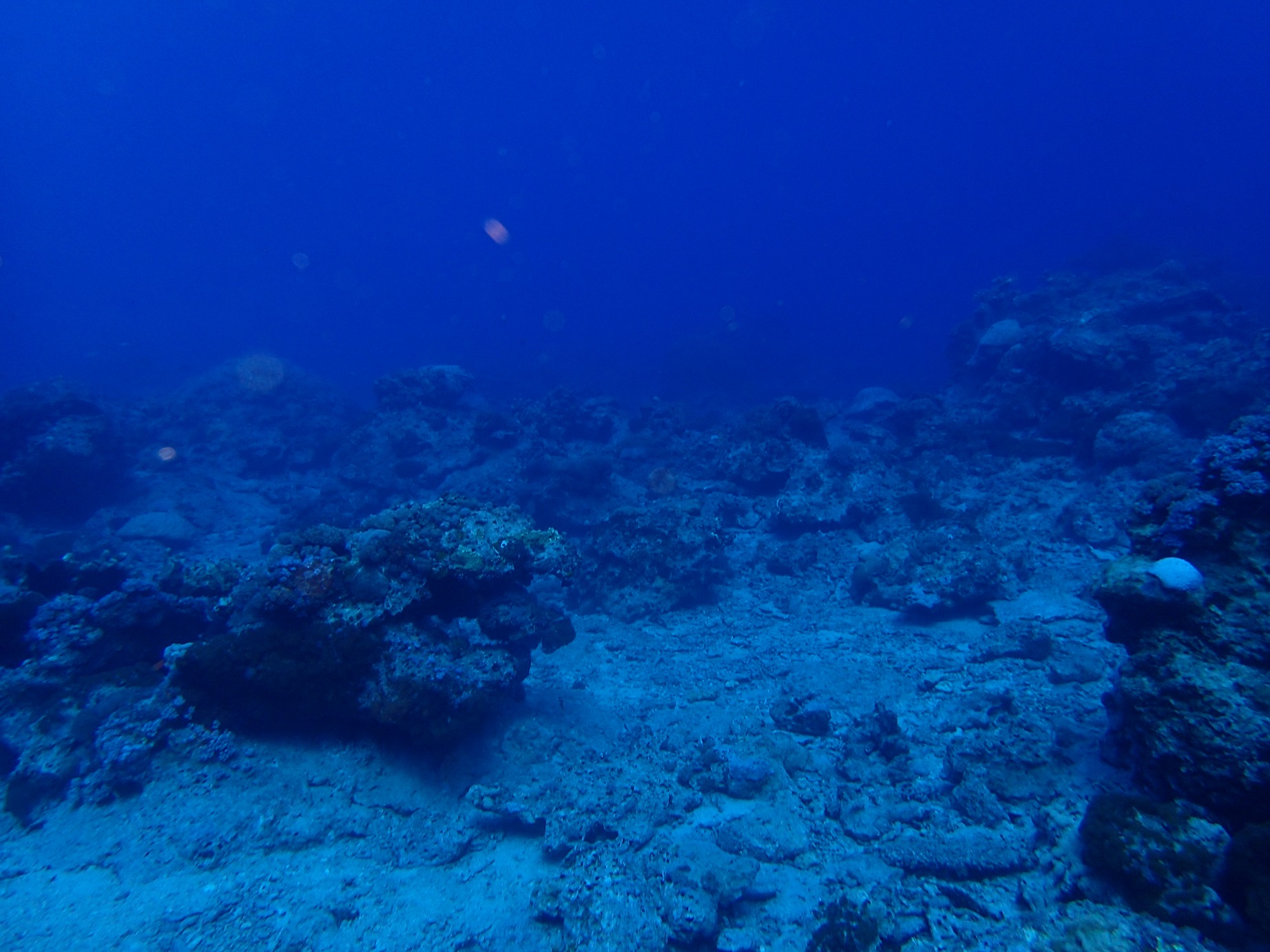
coral reef
3
12
8
9
State\Province
Puerto Plata
City
Sosua
Map Help
Dive Location
If you know your survey site coordinates, enter them manually in decimal degrees using WGS84 Map Datum. Use the minus sign for latitudes south of the equator and longitudes west of the Prime Meridian to 180 degrees.
If you do not know your survey site coordinates, click the “Map Location” tab to use the map to zoom into your survey site and drop the pin on the map to fall within your survey dive site in the water (not on land or the beach). Ensure you zoom in as much as possible to ensure data accuracy.
Entangled Help