EL PESCADOR, Laguna de la Cocha
30
44
1
1.137431, -77.15699
2
other
12
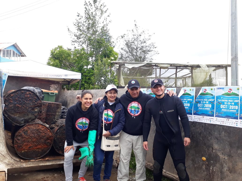
it's about altitude dive dives
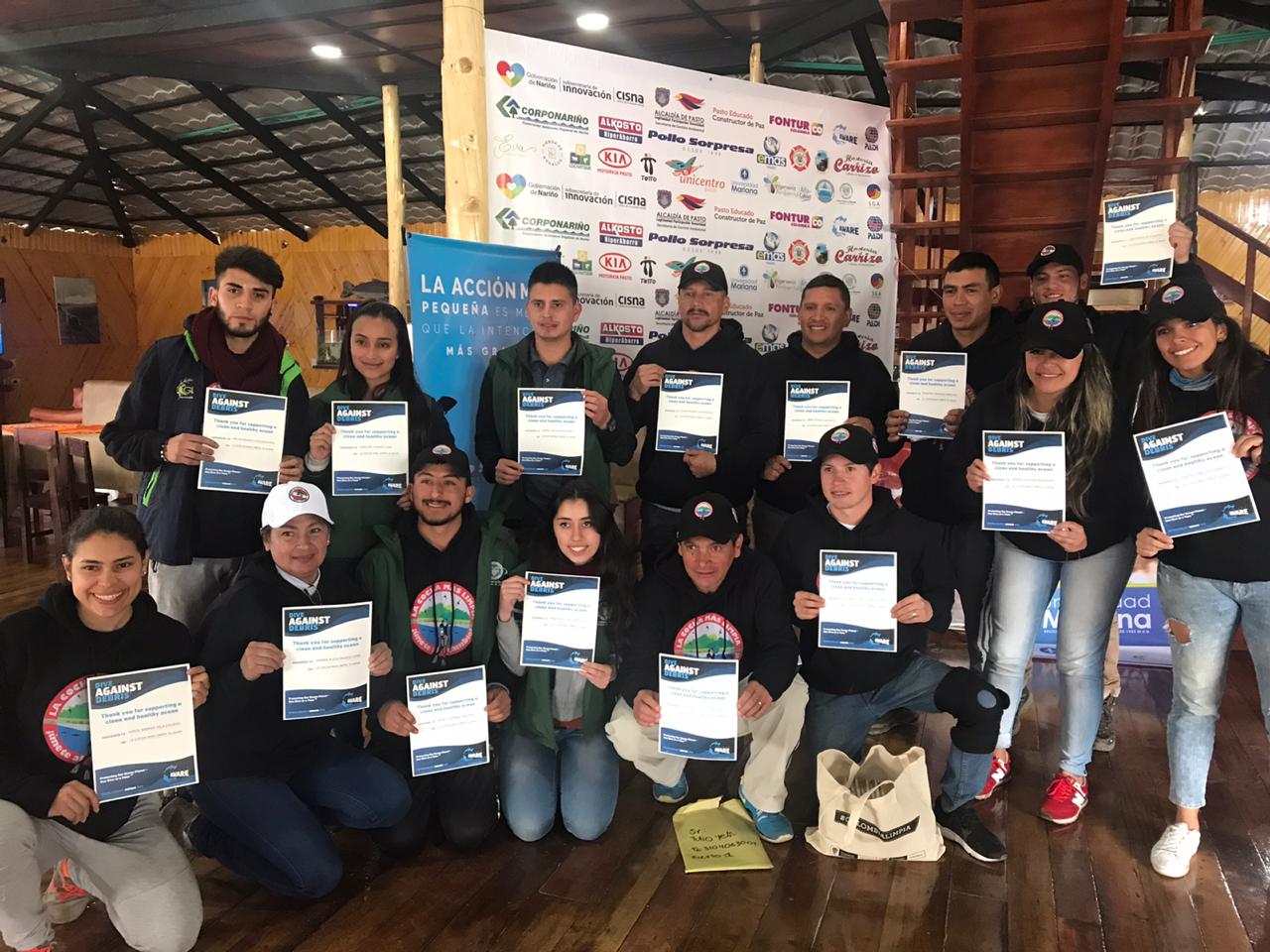
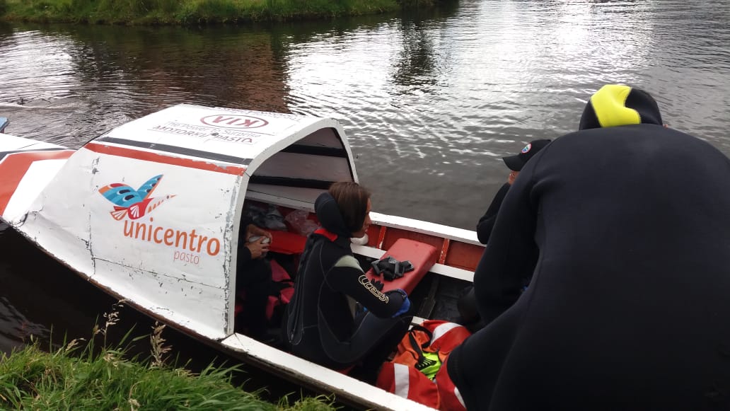
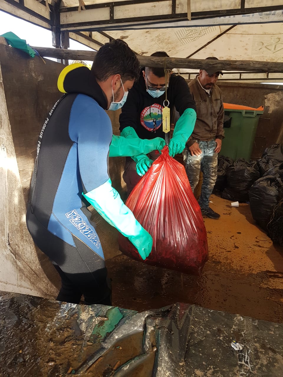
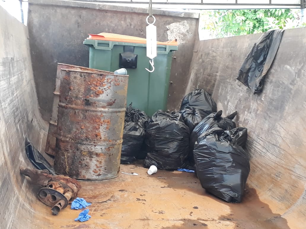
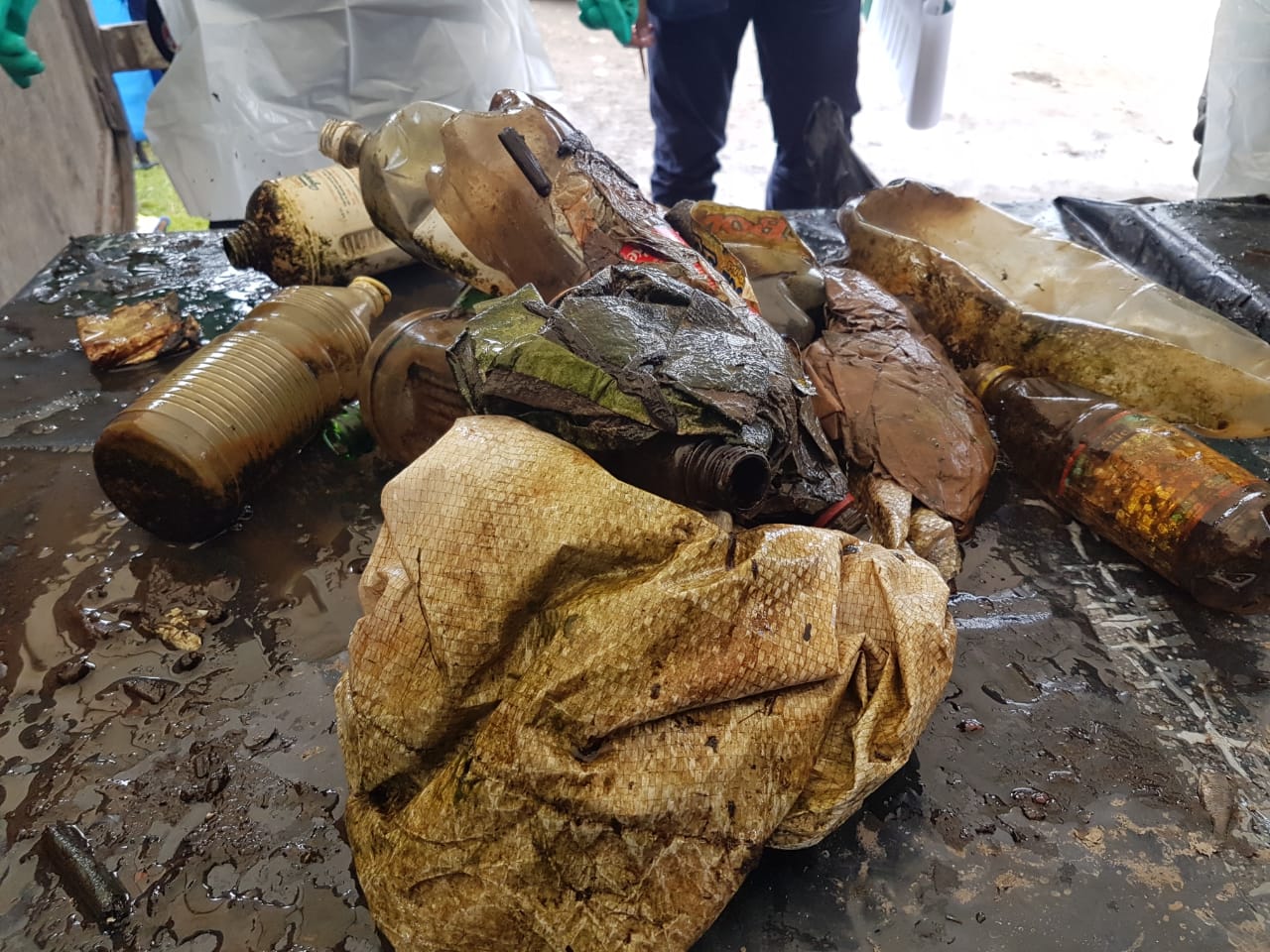
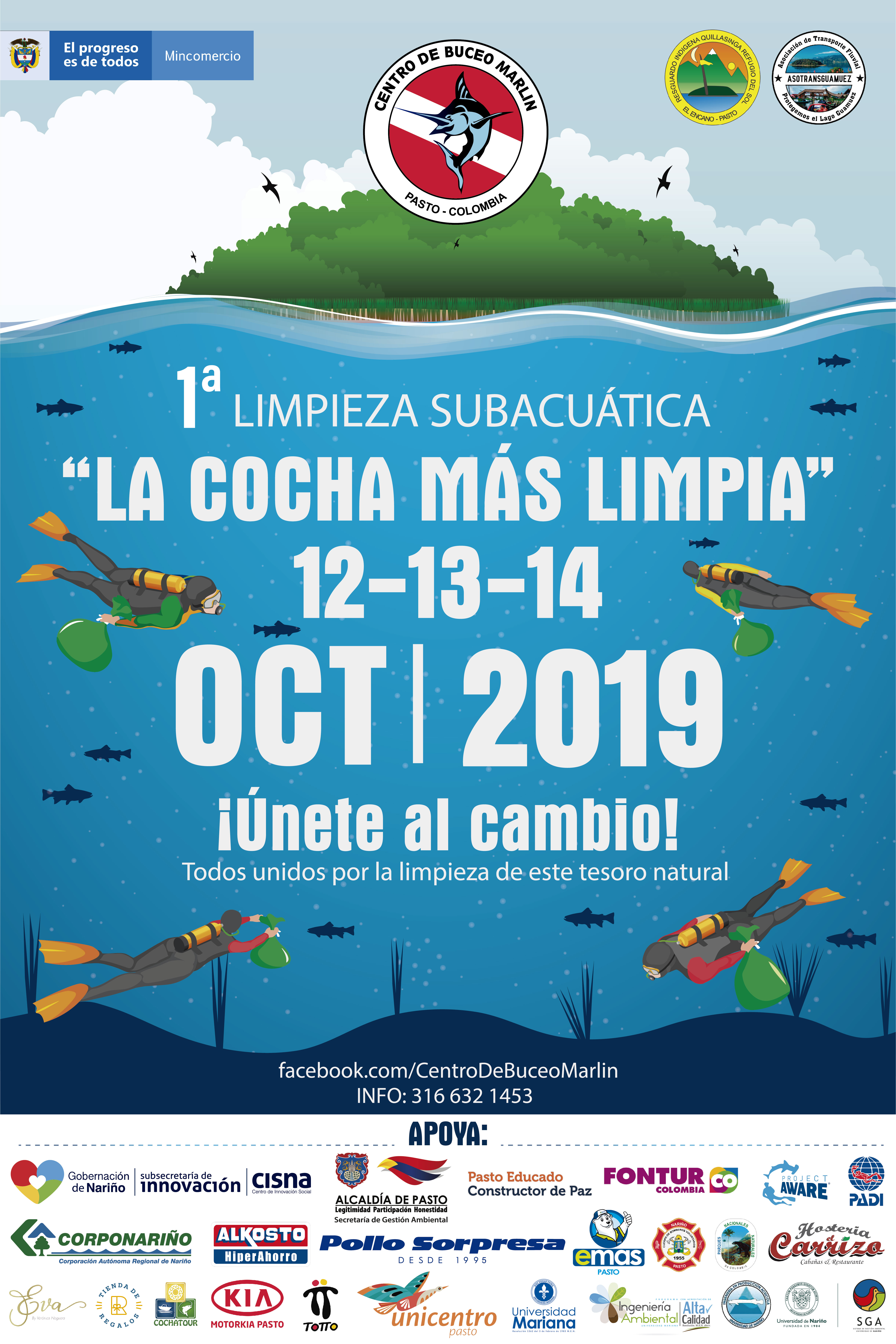
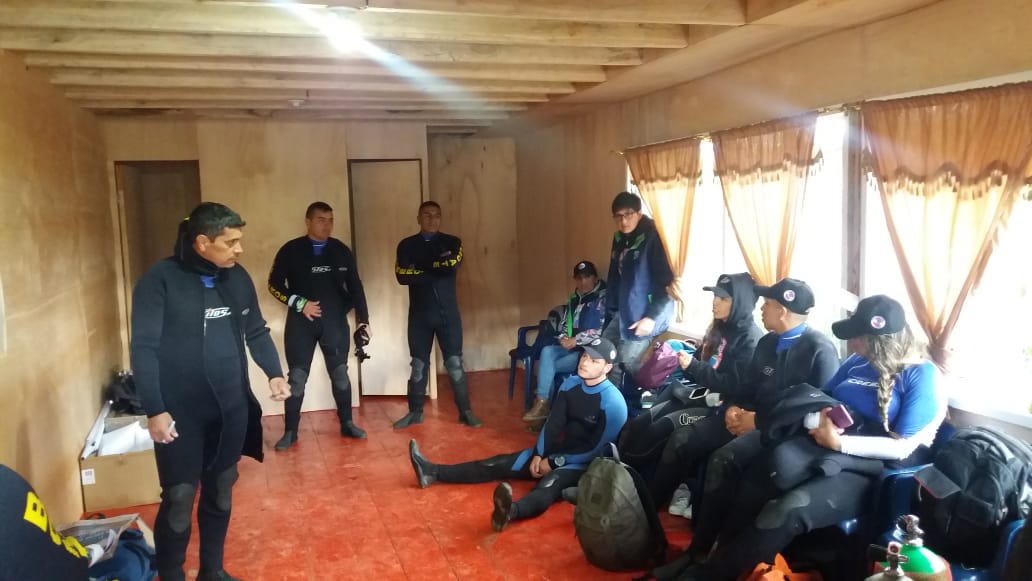
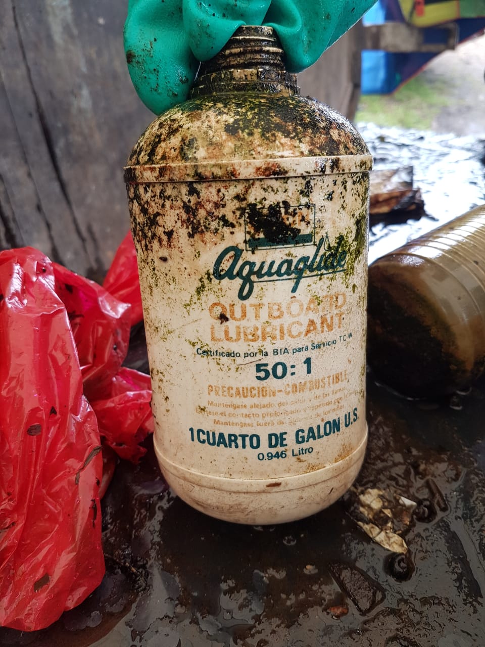
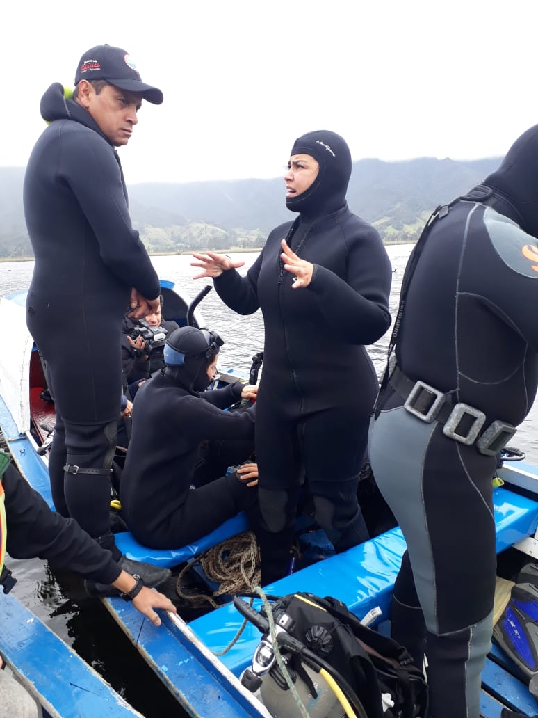
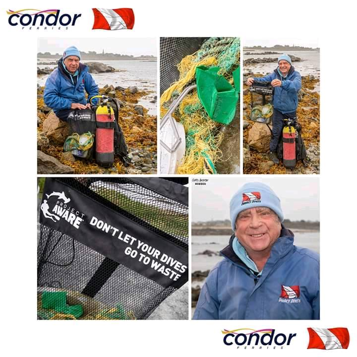
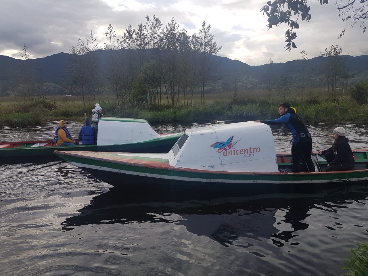
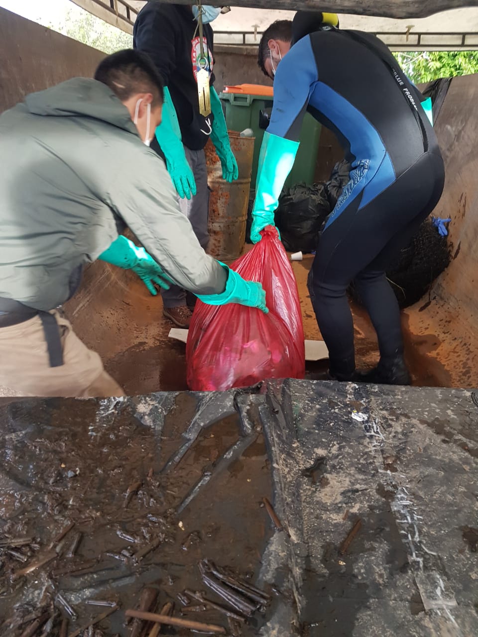
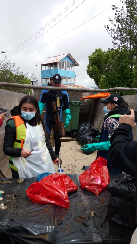
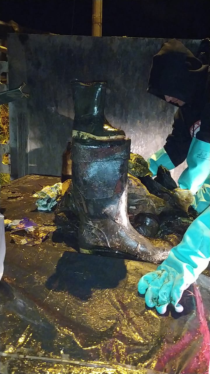
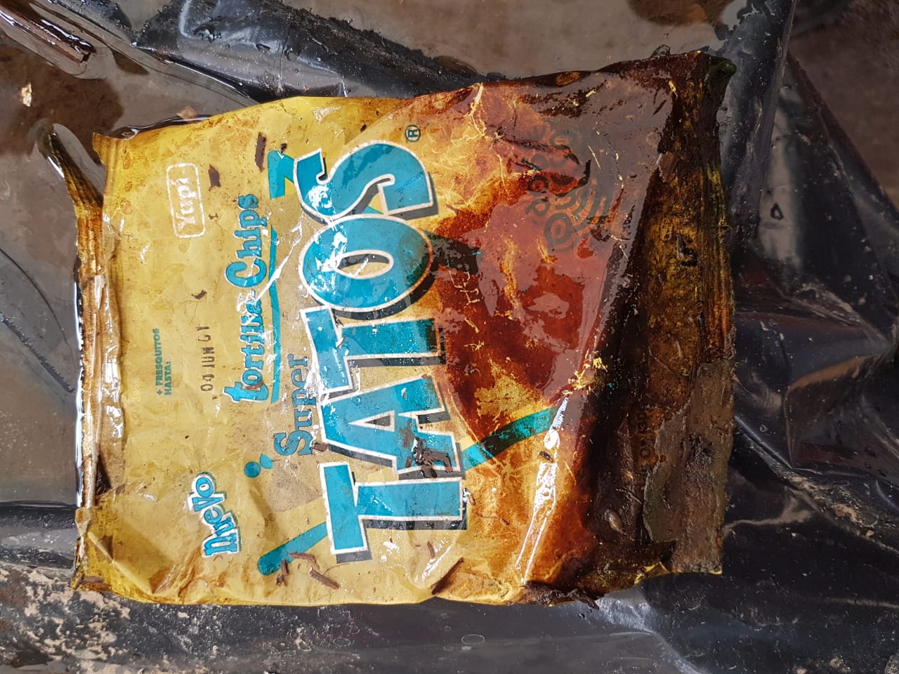
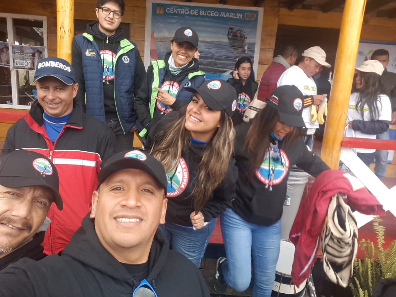
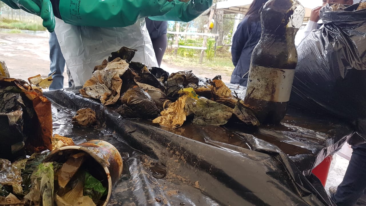
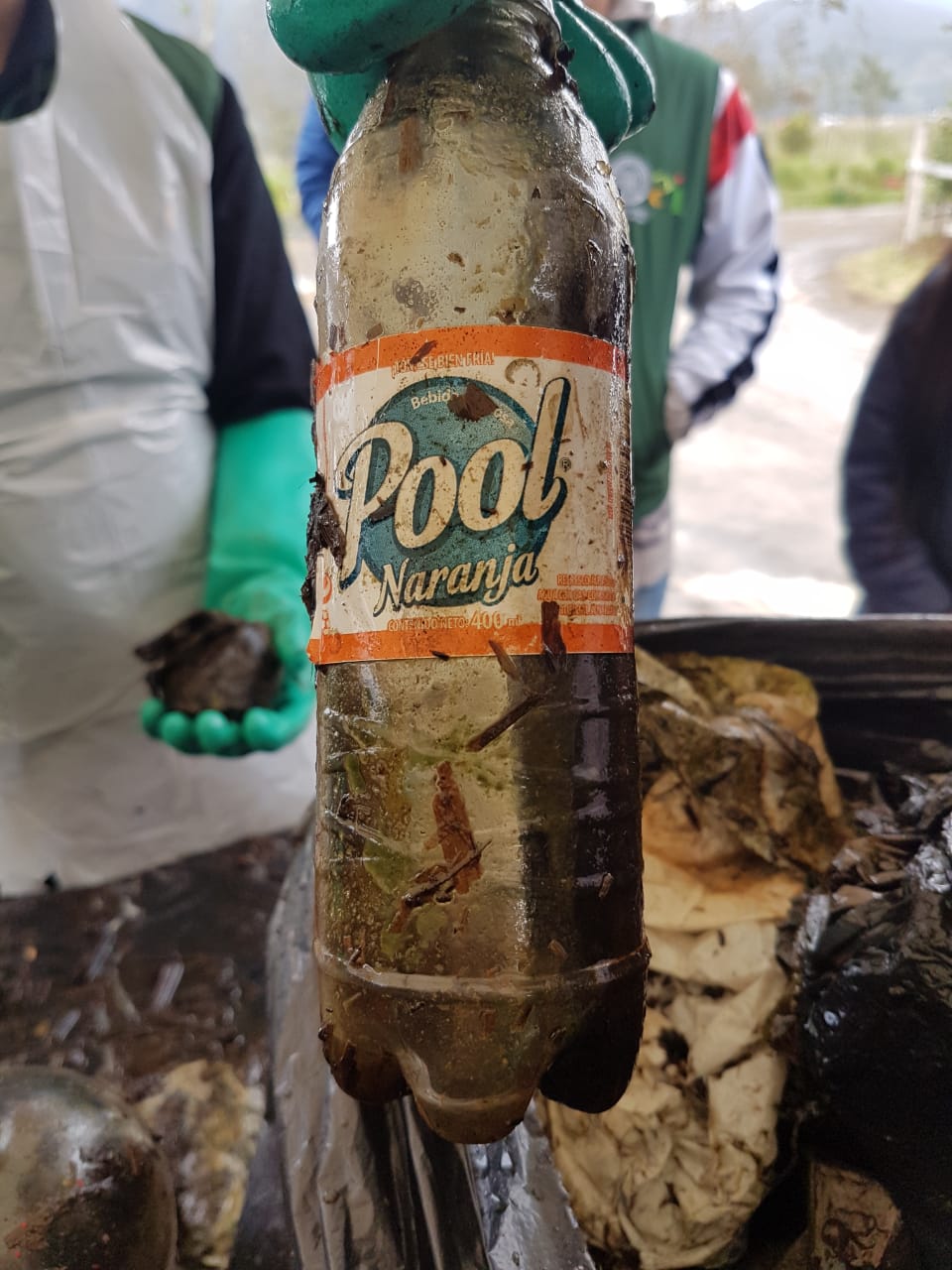
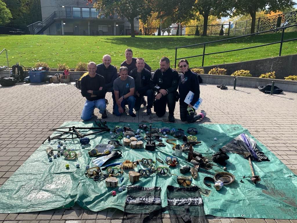
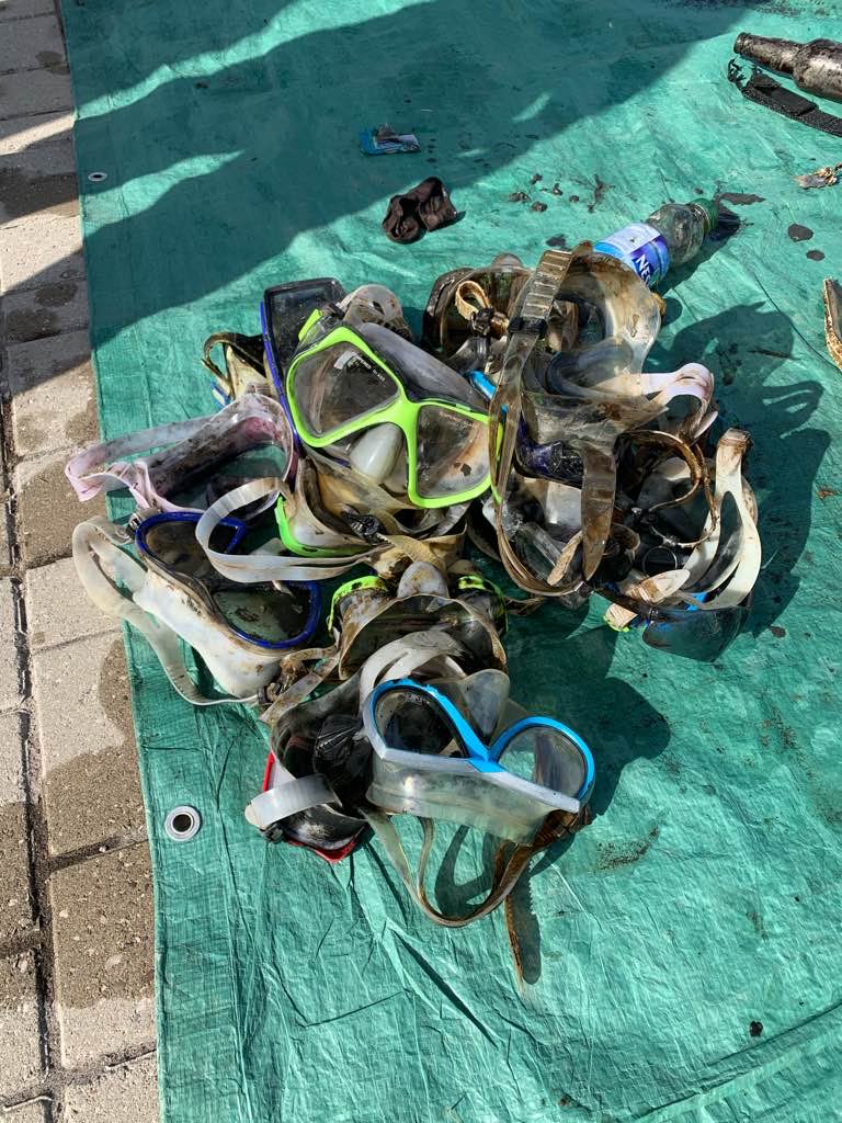
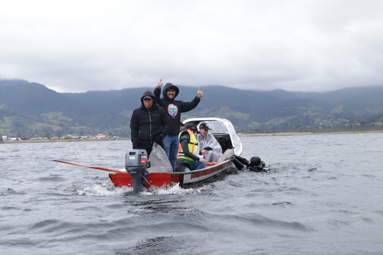
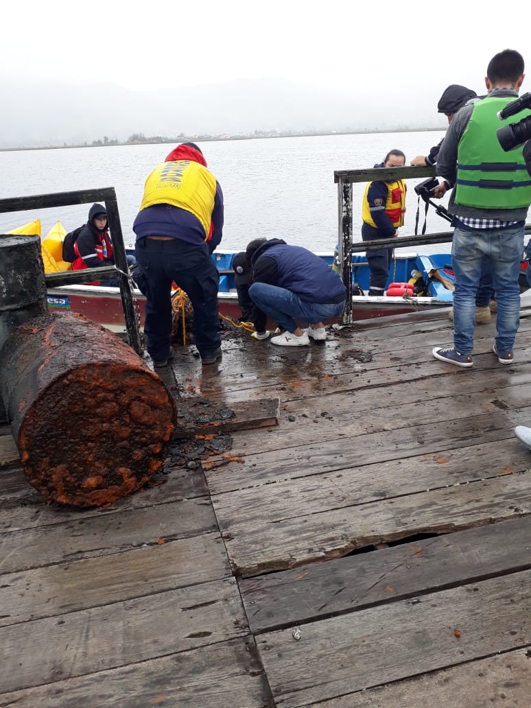
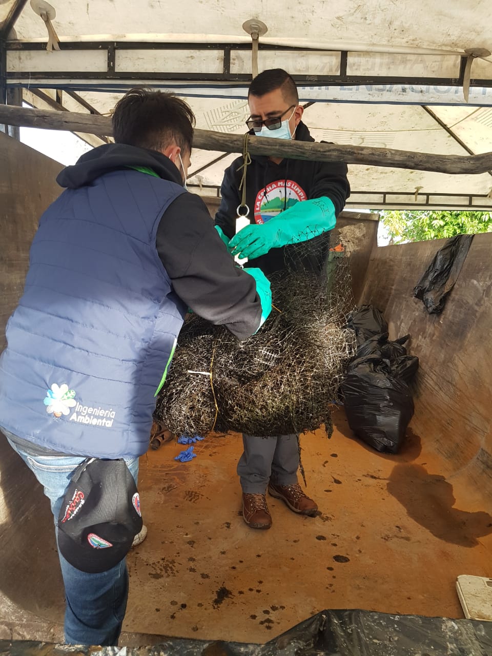
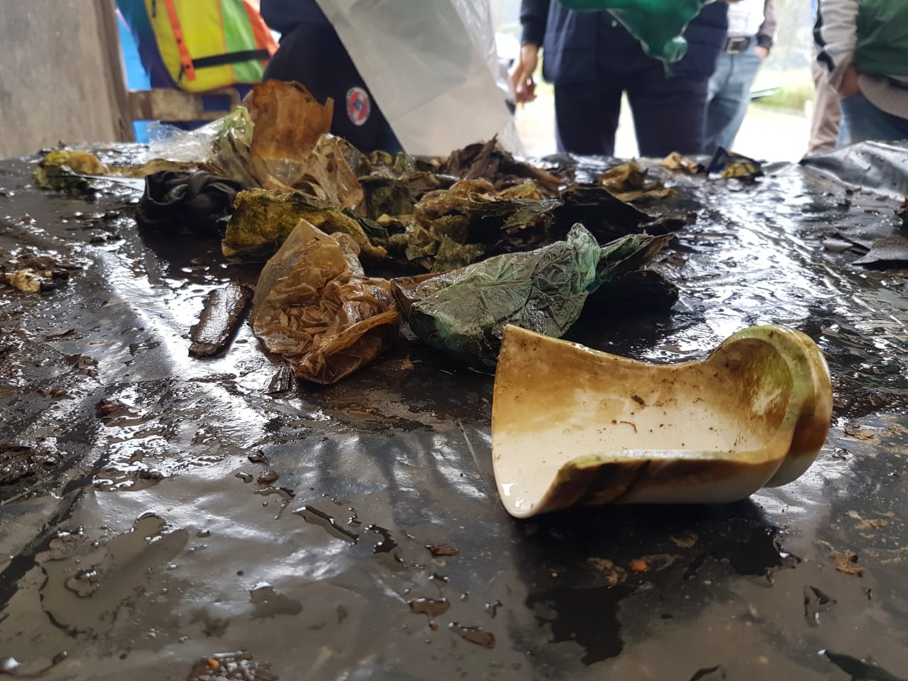
This is one of the many dives that took place in the three-day event called "La Cocha más Limpia" created by Marlin Pasto Diving Center ! LA COCHA MÁS LIMPIA ! Fue lo que gritamos con fuerza al culminar la primera limpieza subacuática de la Laguna de la Cocha. ⠀ Fueron varios meses de mucho trabajo que concluyeron en 3 días aún más duros. ⠀ Gracias al trabajo, compromiso y ganas de ayudar de todo el equipo de buzos de Centro de Buceo Marlin, logramos hacer historia, logramos hacer realidad una idea que venía de hace muchos años. ⠀ Queremos contarles que superamos con creces nuestras expectativas. Logramos recuperar 626 KG de residuos sólidos del fondo lacustre !!!. ⠀ 626 kg que dejaran de impactar negativamente este ecosistema estratégico. ⠀ En la etapa de planeación nos propusimos recuperar 150 kg y gracias al arduo trabajo de nuestros buzos y personal de apoyo logramos estos resultados. ⠀ No se hubiera logrado que este evento sea tan grande y efectivo sin las entidades y empresas que se hicieron parte. ⠀ ORGANIZADORES: Centro de Buceo Marlin, Resguardo Indígena Quillasinga Refugio del Sol y Asotransguamuez ⠀ Un gran agradecimiento a: Ministerio de comercio, industria y turismo a través de fontur Gobernación de Nariño a través de CISNA Alcaldía de Pasto a través de la secretaría de gestión ambiental Corponariño Alkosto Pollos Sorpresa EMAS Bomberos pasto Parques Nacionales Naturales Hosteria el Carrizo Eva By Verónica Noguera Tienda de Regalos Cochatour Motorkia Pasto Totto Pasto C.C. UNICENTRO Universidad Mariana Universidad Nariño Confamiliar de Nariño Intiillapa Padi Project Aware ⠀ Esta es la primera versión de La Cocha más limpia. Seguiremos realizando esta campaña esperando que muchas más personas se ¡ Unan al Cambio !
tire, medicine
Max Temp: 17°
Min Temp: 8°
Clouds: 80%
Precipitation: 40%
Rain: 85 mm
Wind speed: 6 km/ h
Wind direction predominantly from the east
Min Temp: 8°
Clouds: 80%
Precipitation: 40%
Rain: 85 mm
Wind speed: 6 km/ h
Wind direction predominantly from the east
1
1
5
1
1
1
1
1
1
8
Plastic Drum 5 gallons
agrochemical container
medicines
instruments
Scotch tape
cassete
Razor blade
cuero
Fragmento asbesto
sanitary towels
CENTRO DE BUCEO MARLIN
TULIO YELA
4
8
1
6
3
4
1
163
23
10
1
1
1
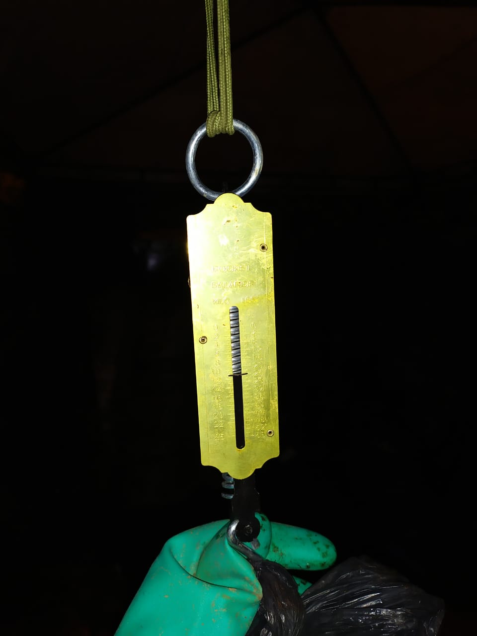
70.50
55
10.00
3.00
1
measured
2215.00
2
diapers
food wrappers
On
kilograms
I have debris data to report
3
Calm (glassy to rippled) for waves 0 – 0.1 meter high
3
Dead
Oncorhynchus mykiss
1
net of plastic
6
m2

meters
other
6
5
4
12
1
State\Province
NARIÑO
City
PASTO
Map Help
Dive Location
If you know your survey site coordinates, enter them manually in decimal degrees using WGS84 Map Datum. Use the minus sign for latitudes south of the equator and longitudes west of the Prime Meridian to 180 degrees.
If you do not know your survey site coordinates, click the “Map Location” tab to use the map to zoom into your survey site and drop the pin on the map to fall within your survey dive site in the water (not on land or the beach). Ensure you zoom in as much as possible to ensure data accuracy.
Entangled Help
Use the vertical tabs below to record any entangled animals you found of each type.
Ecosystem Other
LAKE
Dominant Substrate Other
SEDIMENT