ADS578 - Ammo Jetty
1
1
sand
6
-32.124235294803, 115.75929164886
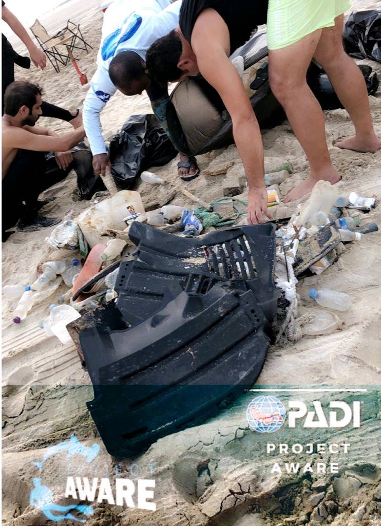
There were several big tangled balls of line that I will go back for.
A sign
Severe storm two days prior
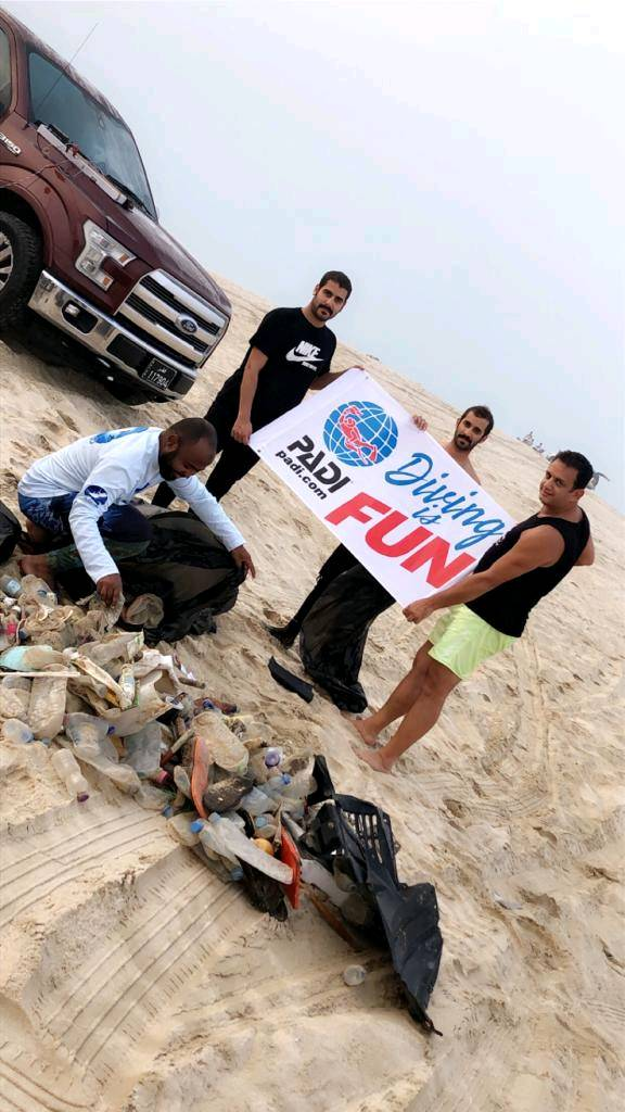
Bucket List Diver
Hayley Salabert
5
2
1
2.00
45
9.00
2.00
estimated
320.00
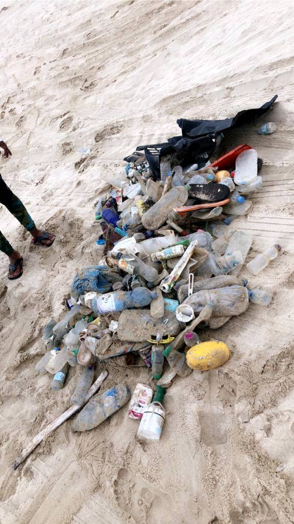
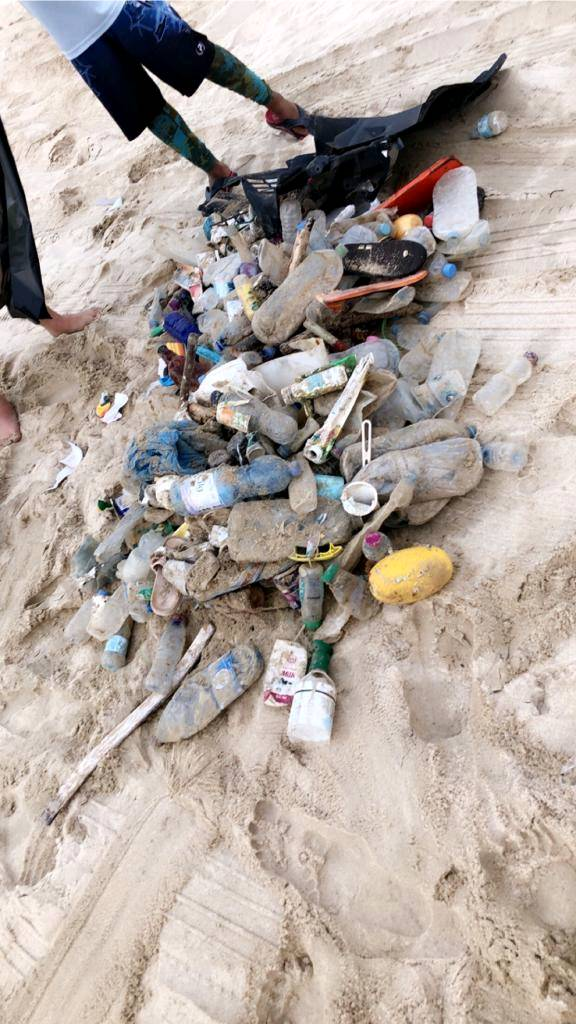
Fishing Line
Fishing hooks
glass bottles
On
kilograms
I have debris data to report
3
Calm (glassy to rippled) for waves 0 – 0.1 meter high
m2


meters
coral reef
State\Province
Western Australia
City
Coogee
Map Help
Dive Location
If you know your survey site coordinates, enter them manually in decimal degrees using WGS84 Map Datum. Use the minus sign for latitudes south of the equator and longitudes west of the Prime Meridian to 180 degrees.
If you do not know your survey site coordinates, click the “Map Location” tab to use the map to zoom into your survey site and drop the pin on the map to fall within your survey dive site in the water (not on land or the beach). Ensure you zoom in as much as possible to ensure data accuracy.
Entangled Help
Use the vertical tabs below to record any entangled animals you found of each type.
Ecosystem Other
Sand with coral growth on jetty pylons