ADS370 - Blue Bay The Wall & The Garden
81
12.134409, -68.985034
250
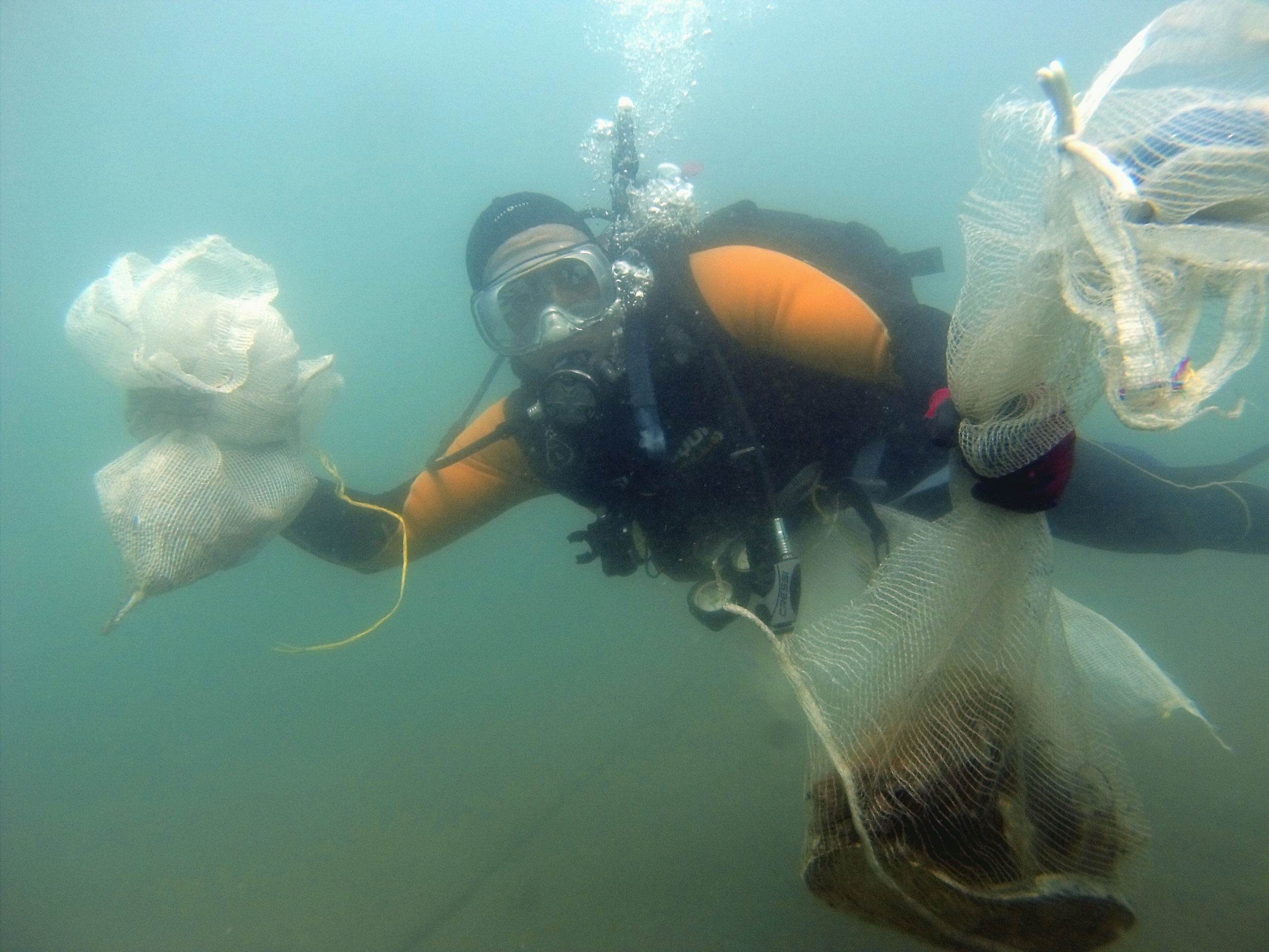
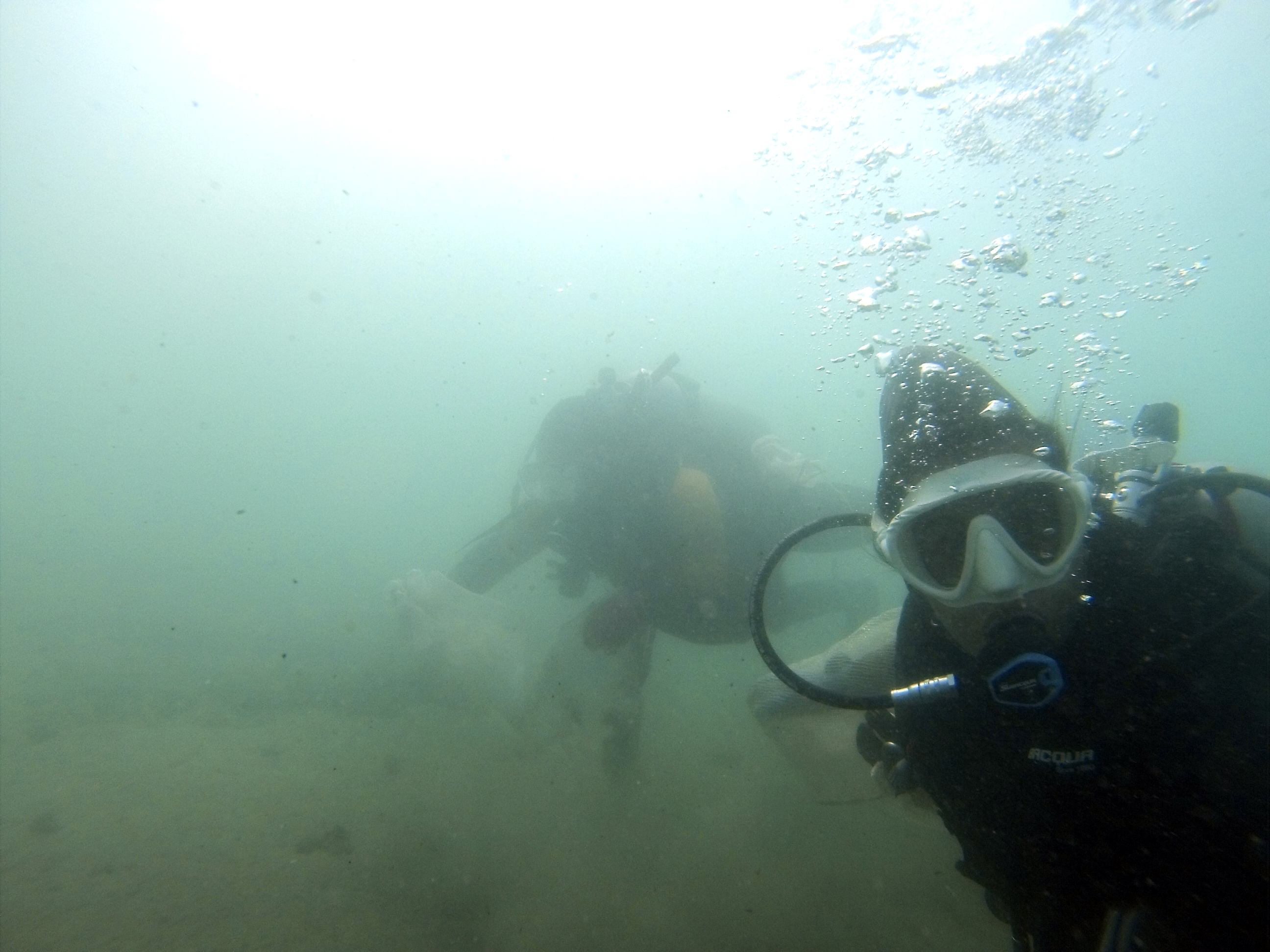
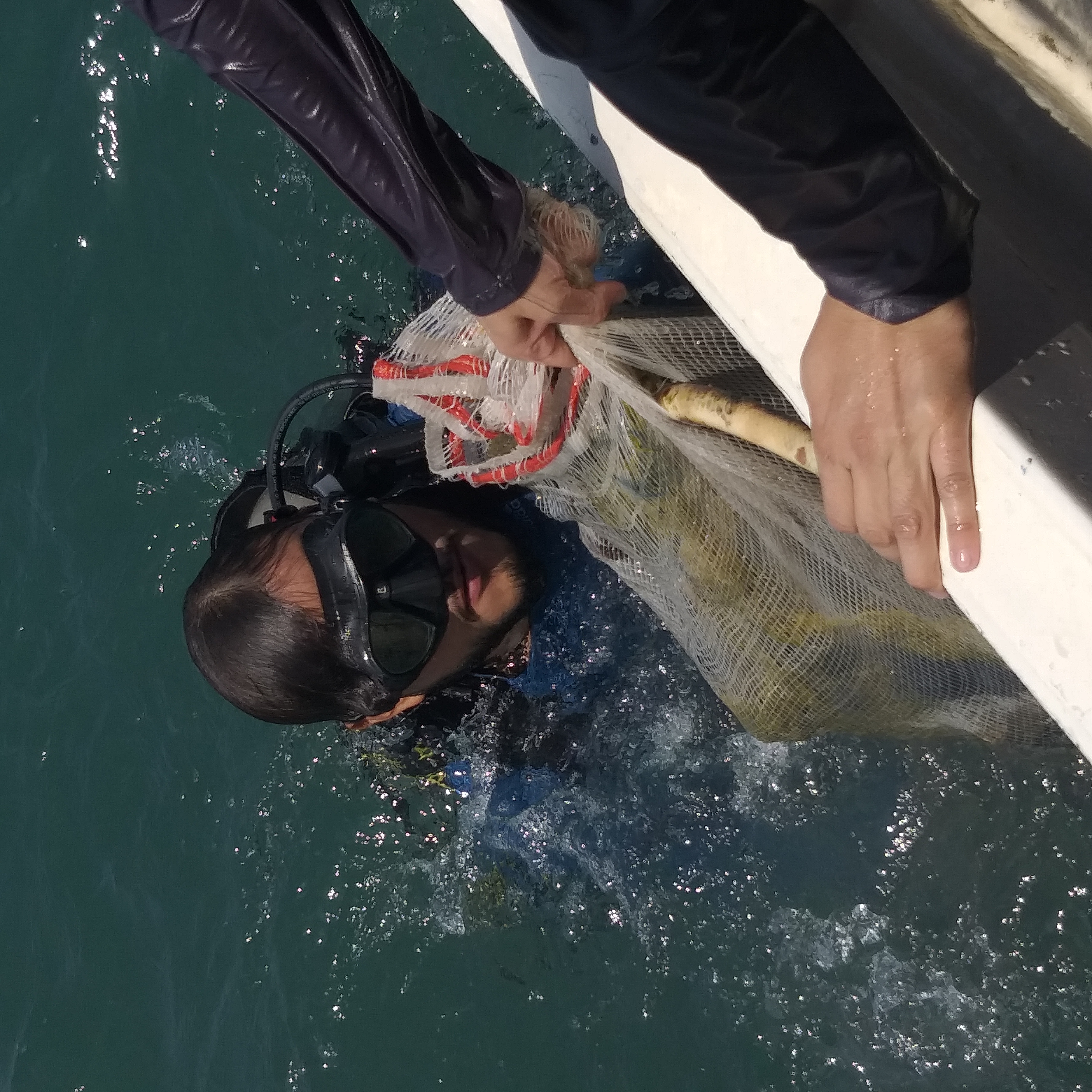
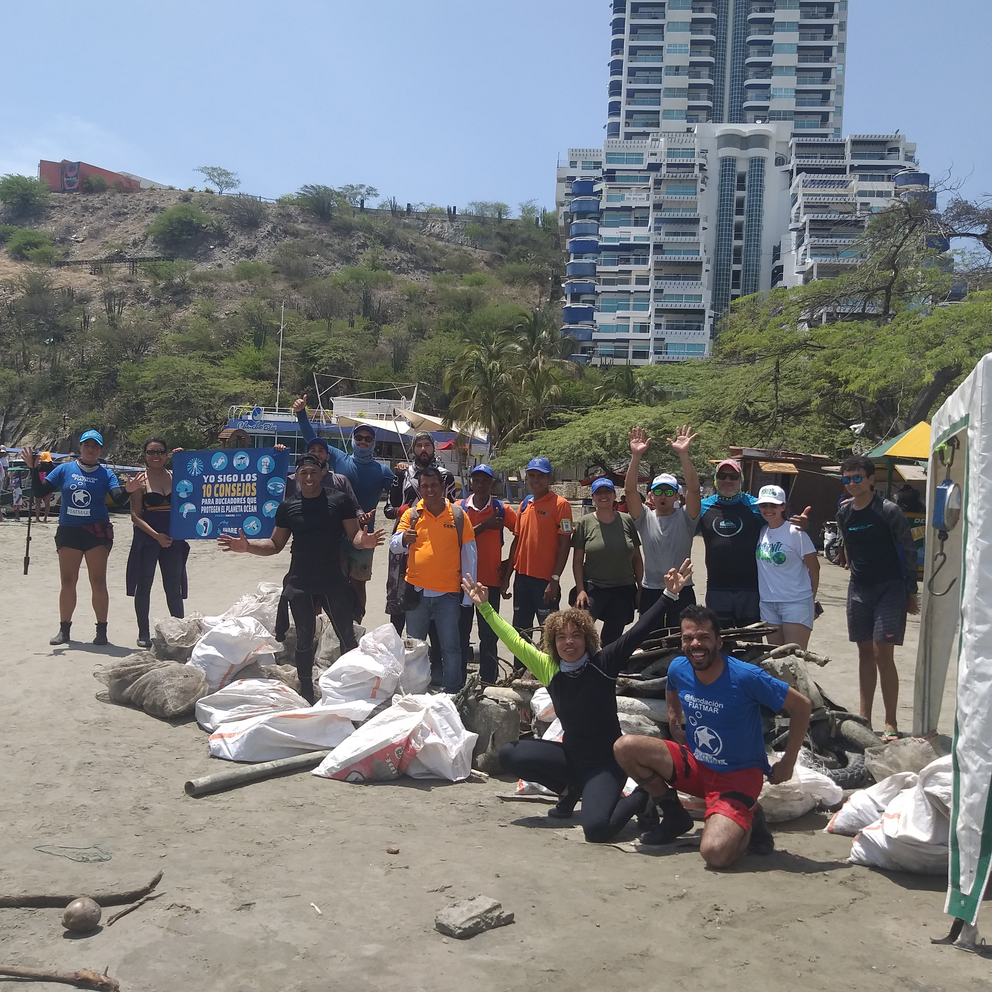
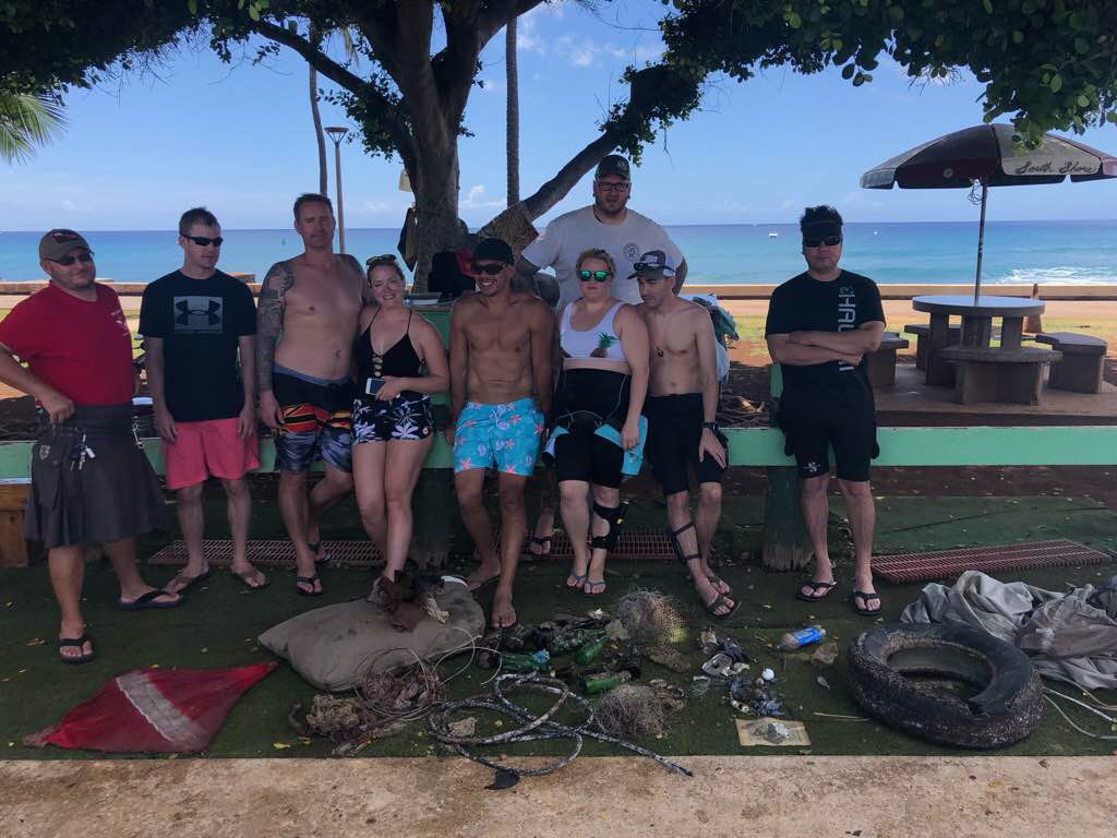
We followed AWARE week's theme for this monthly clean up: Building Bridges!
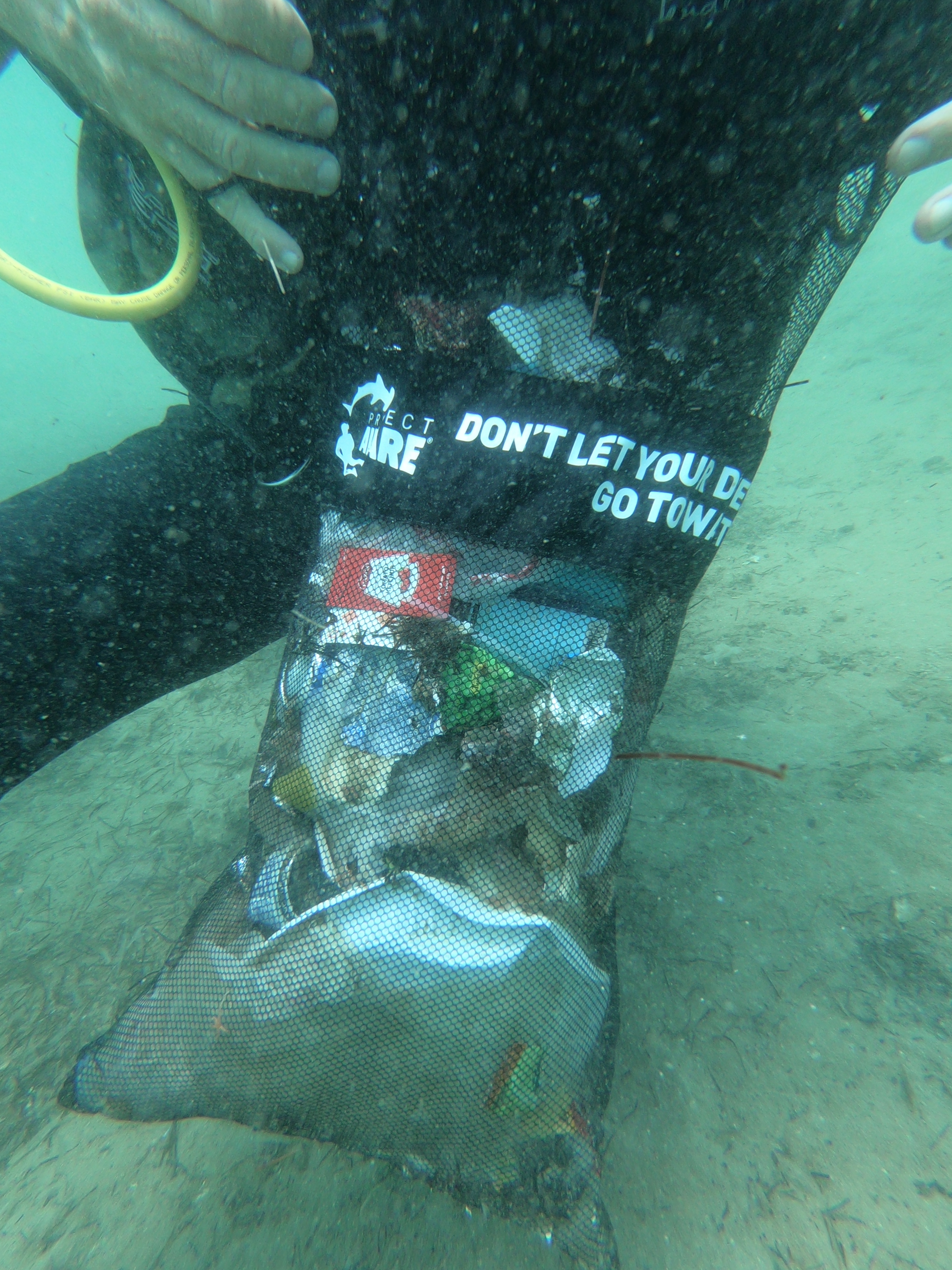
We built our beautiful rendition of the Queen Juliana Bridge in Curacao and at the end of the dive/clean up, we asked all volunteers to put a piece of debris (debris collected from our Dive Against Debris dive) on the bridge!
NO TRASH/RUBBISH in the water, team and community effort to want to make a difference all together. YES we can <3
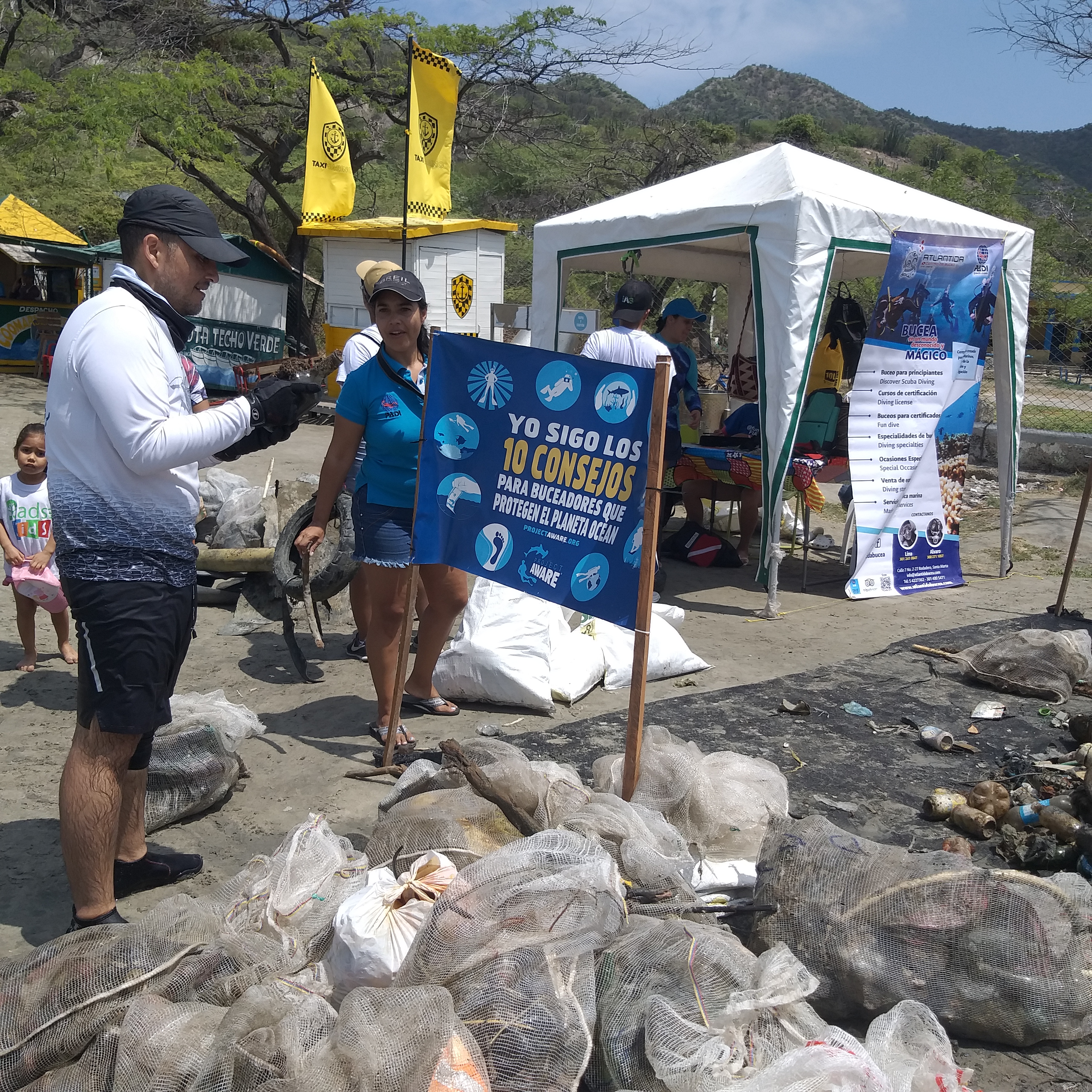
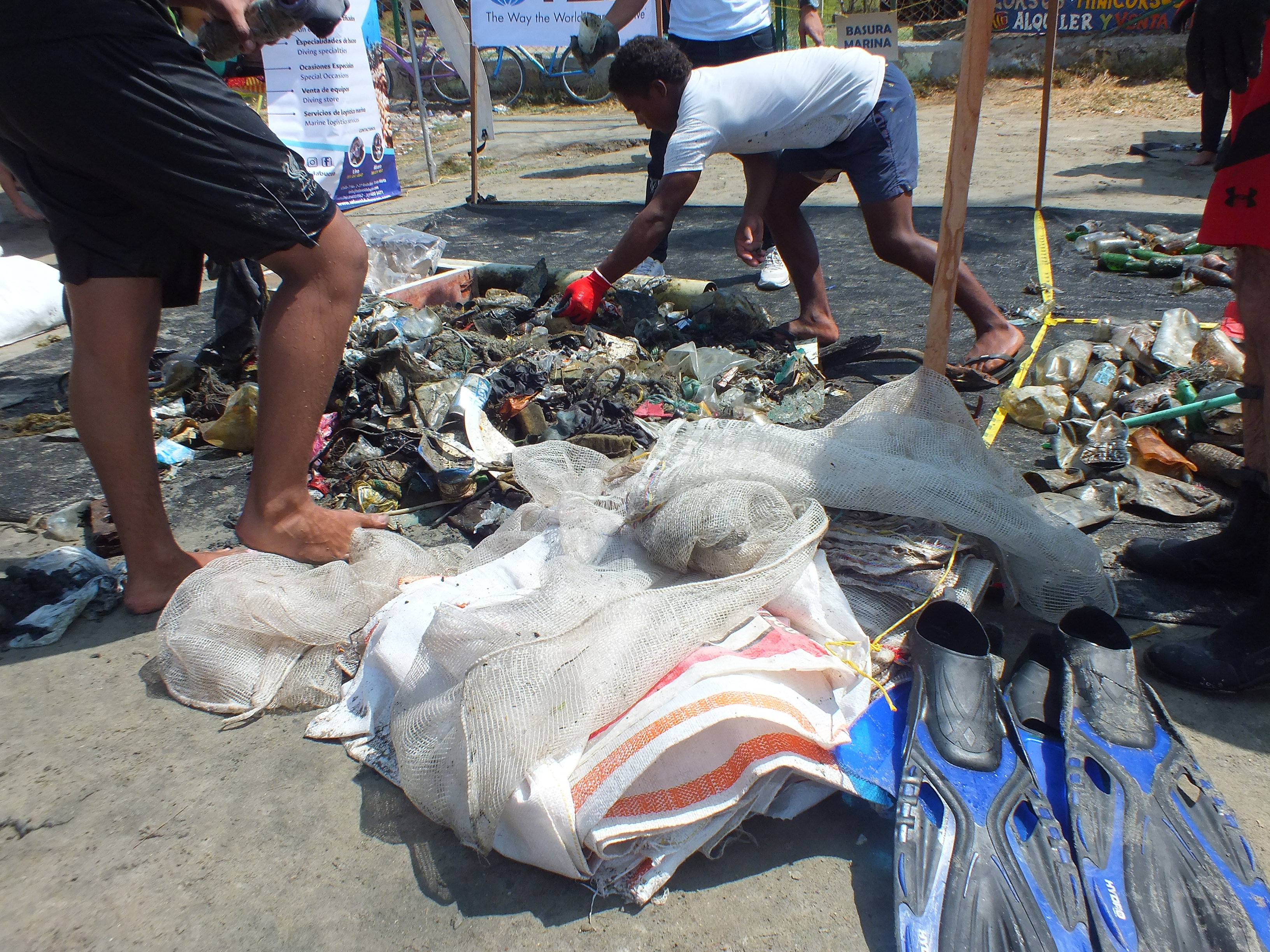
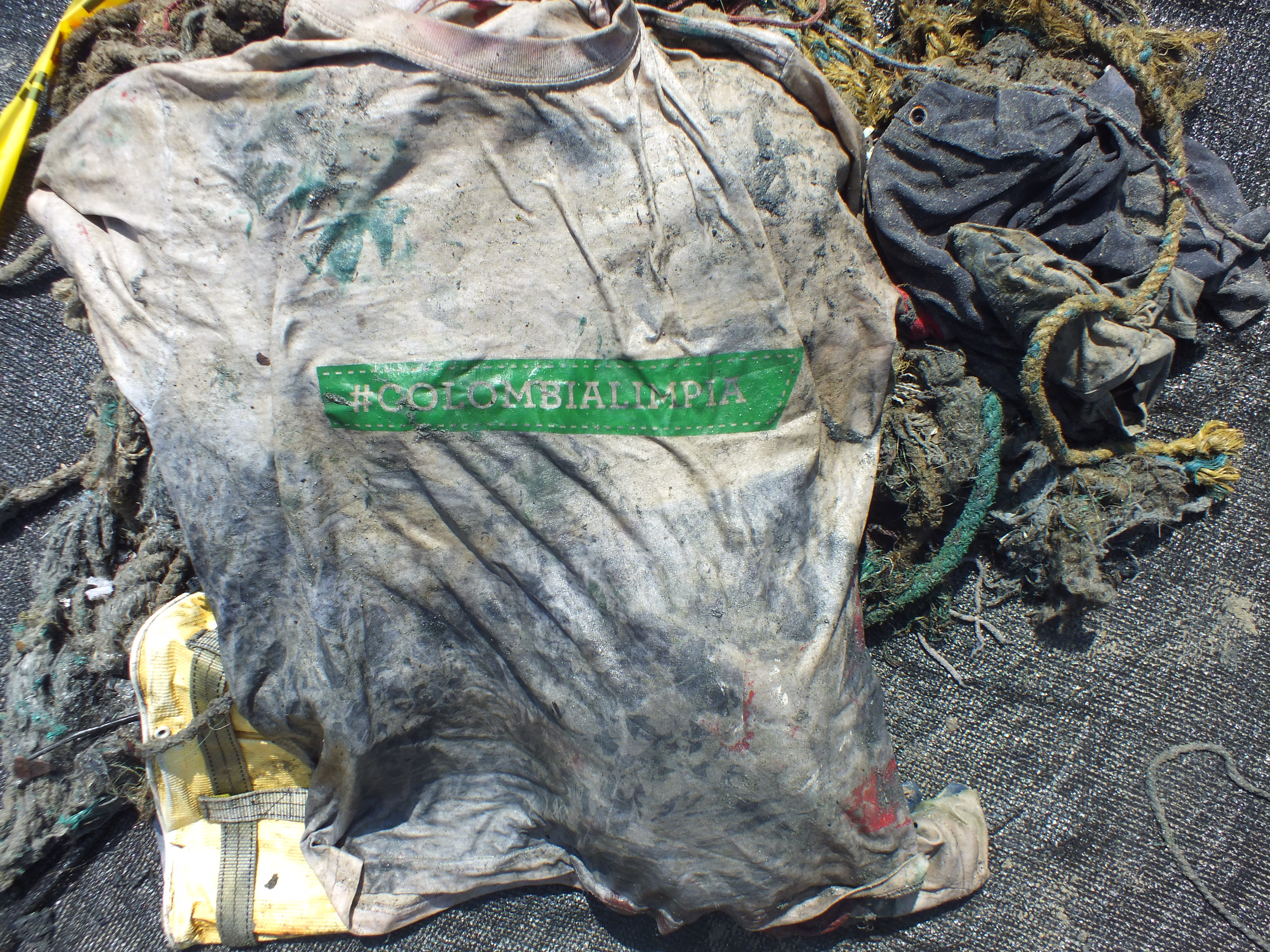
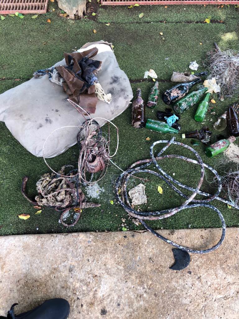
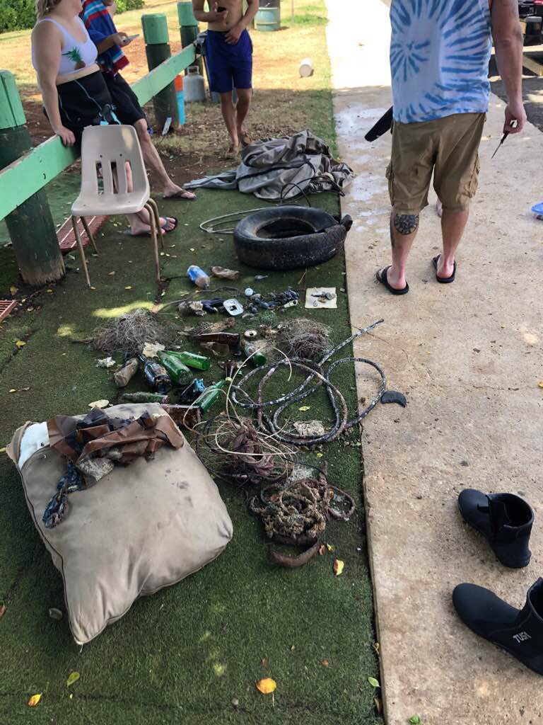
Fishing Line: local fishermen
Plastic and Fabrics: resorts, tourist, local culture to throw rubbish on the ground, no proper bins with covers, no proper recycle facilities on the island ect.
Plastic and Fabrics: resorts, tourist, local culture to throw rubbish on the ground, no proper bins with covers, no proper recycle facilities on the island ect.
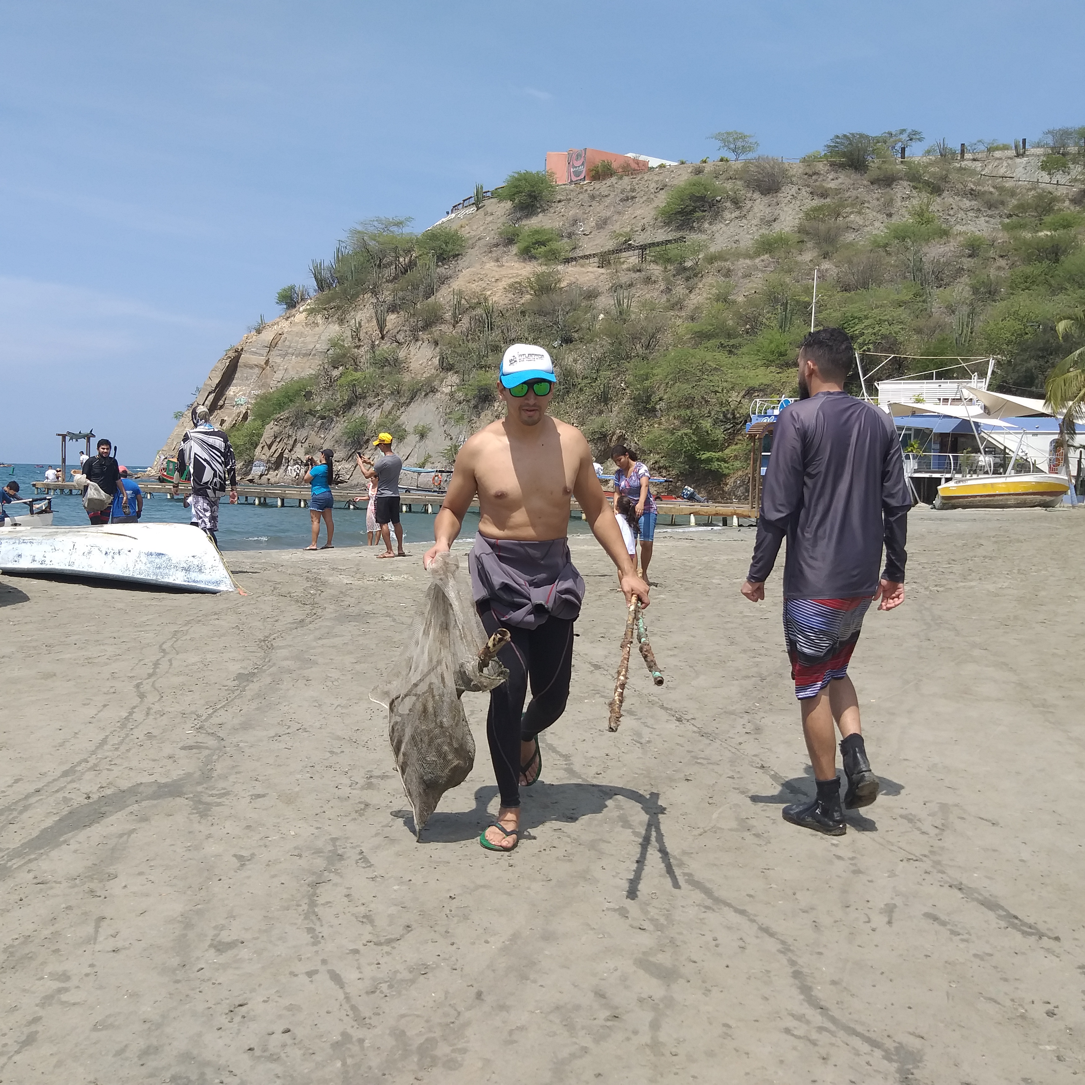
We will never stop trying, together we can make a difference.
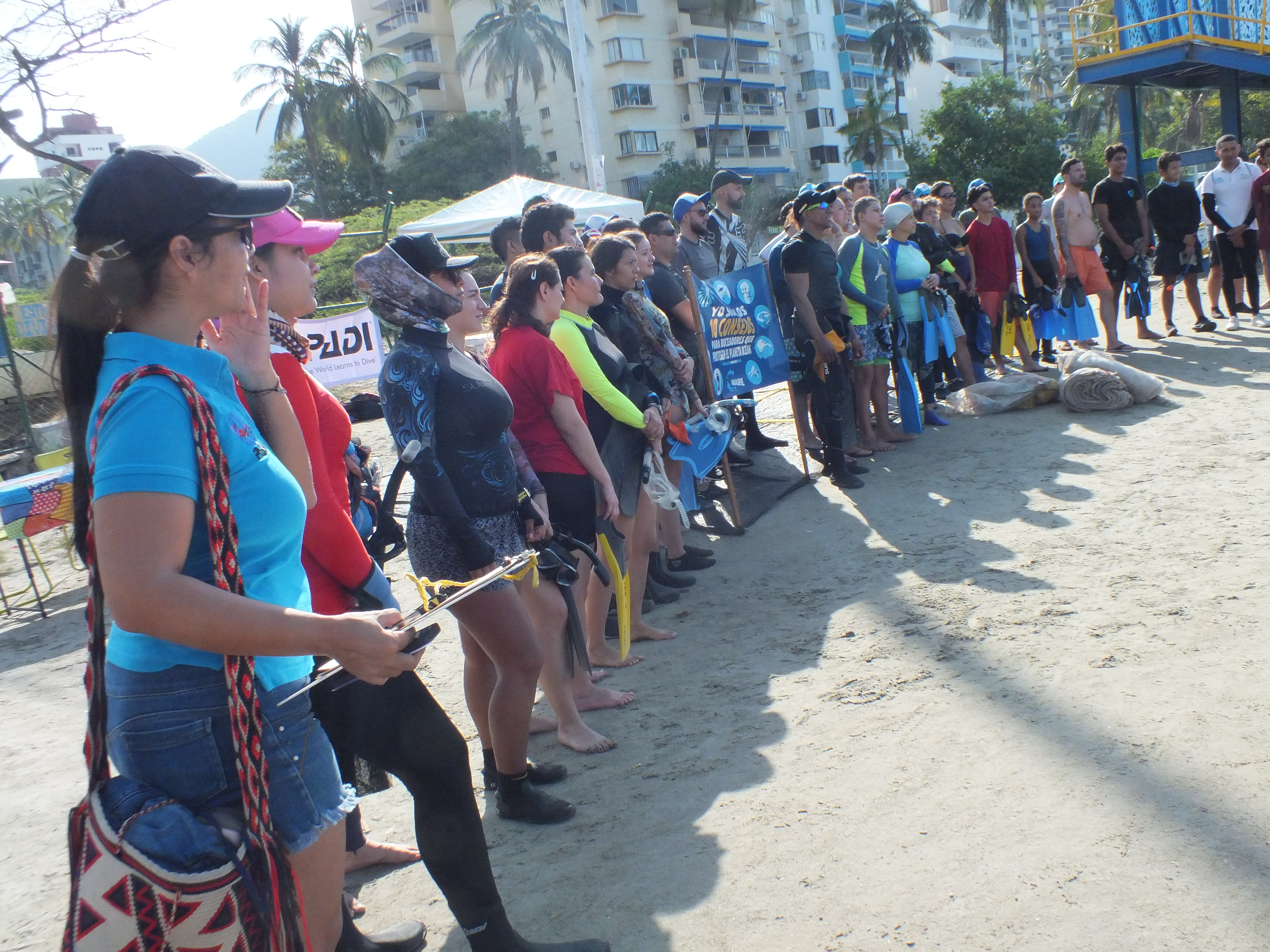
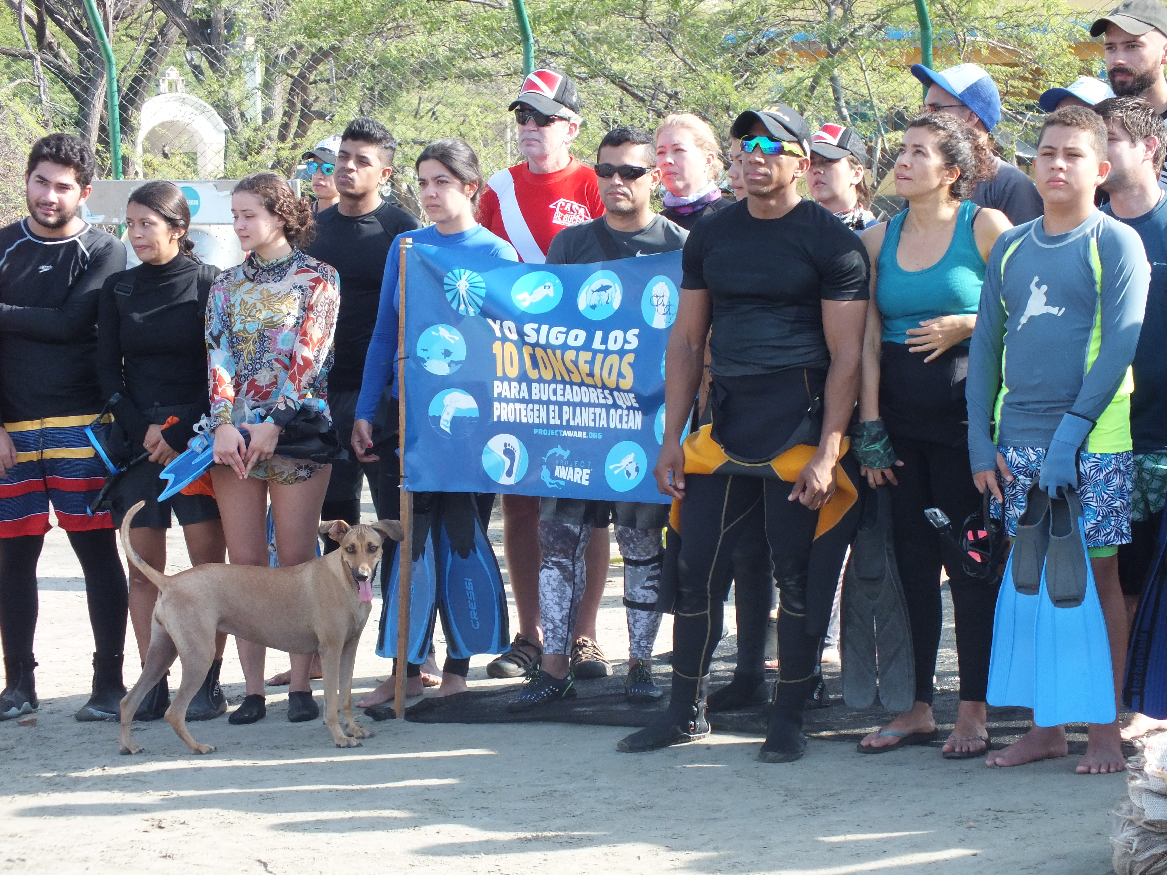
Aware week is an amazing project.
We will keep doing our once a month Clean Up Dive and Dive Against Debris dive to share our passion and the love of our oceans
Aware week is an amazing project.
We will keep doing our once a month Clean Up Dive and Dive Against Debris dive to share our passion and the love of our oceans
SD card and Electric Wire
sunny
1
1
Electric Wire
Small Anchor
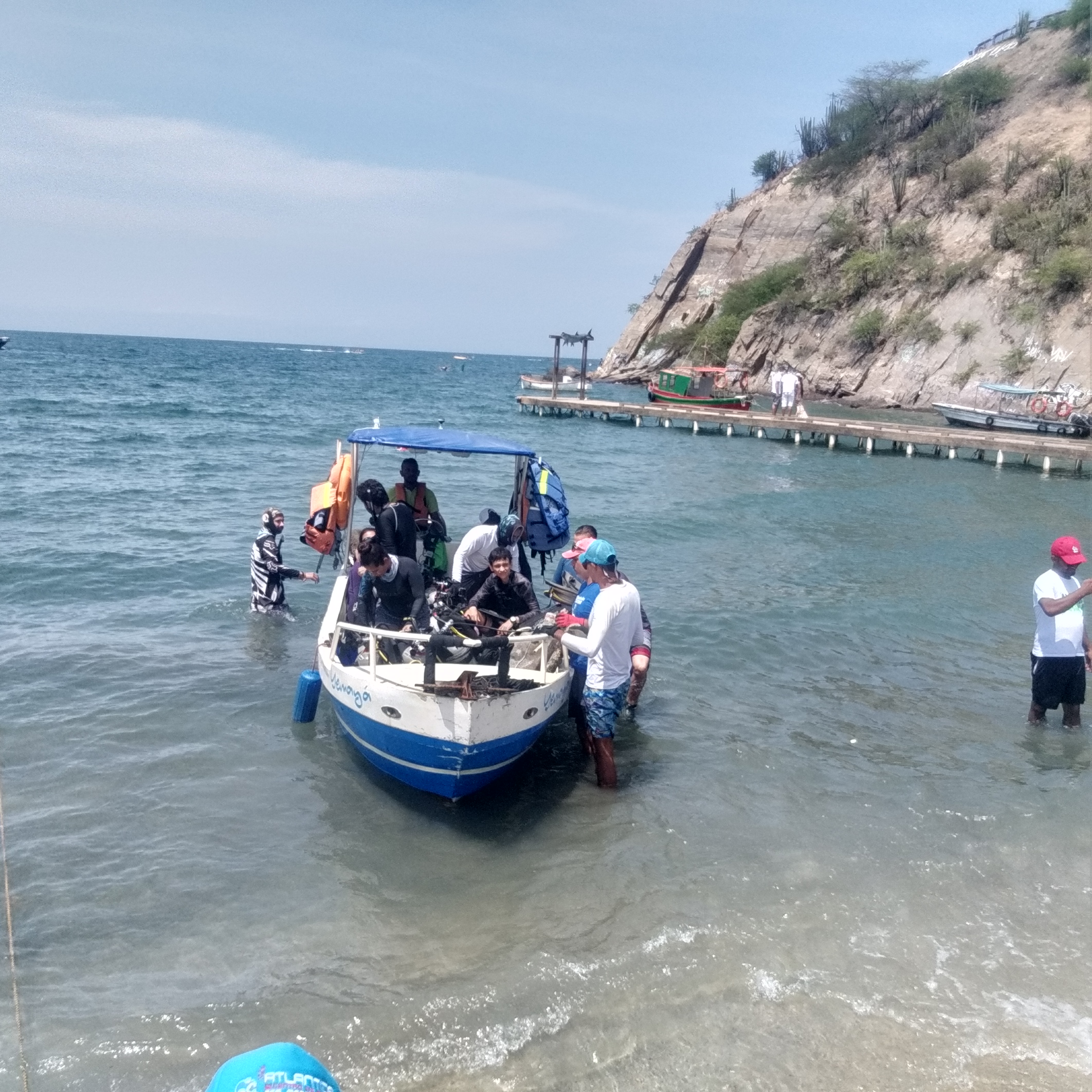
Blue Bay Dive
PADI Master Instructor Ivana 356300 and PADI Staff Instructor Felicia Dolman 390958
2
36
12
2
1
1
39
3
1
28.50
42
28.00
2.00
measured
1
5000.00
1
1
fishing line
plastic cups
macroplastic
5
On
kilograms
I have debris data to report
11
Smooth (wavelets) for waves 0.1 - 0.5 meter high
2
9
m2


25
meters
coral reef
5
1
1
1
2
3
11
5
1
State\Province
Curacao
City
Curacao
Map Help
Dive Location
If you know your survey site coordinates, enter them manually in decimal degrees using WGS84 Map Datum. Use the minus sign for latitudes south of the equator and longitudes west of the Prime Meridian to 180 degrees.
If you do not know your survey site coordinates, click the “Map Location” tab to use the map to zoom into your survey site and drop the pin on the map to fall within your survey dive site in the water (not on land or the beach). Ensure you zoom in as much as possible to ensure data accuracy.
Entangled Help