June Lake Oh Ridge Beach
10
2
37.793622474641, -119.06565949084
6
silt
100
37.793622474641, -119.06565949084
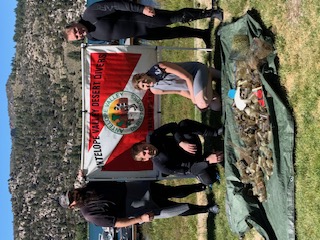
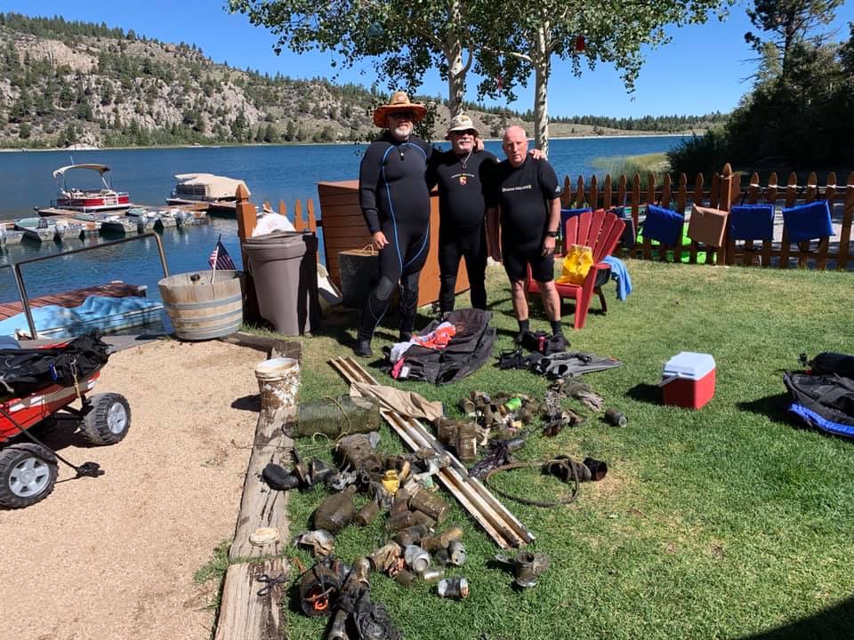
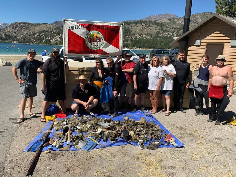
Just like in the marina report, so many glass bait jars(100's) have been discarded into the water after use. most others can be contributed to the high winds that happen in the afternoon.
Our club has been doing this cleanup since 1987. This is the first year that we documented our findings.
animal skull
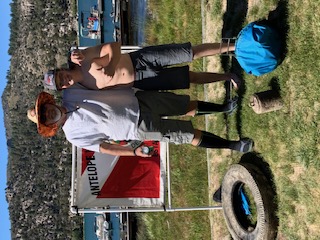
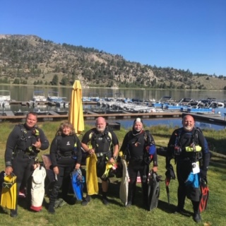
Antelope Valley Desert Divers
Jeff Carlon
2
5
3
13
10
92.70
45
40.00
10.00
measured
87120.00
glass bait jars
drink bottles and cans
Fishing gear
On
pounds
I have debris data to report
10
Calm (glassy to rippled) for waves 0 – 0.1 meter high
5
ft2
feet
other
3
2
200
State\Province
California
City
June Lake
Map Help
Dive Location
If you know your survey site coordinates, enter them manually in decimal degrees using WGS84 Map Datum. Use the minus sign for latitudes south of the equator and longitudes west of the Prime Meridian to 180 degrees.
If you do not know your survey site coordinates, click the “Map Location” tab to use the map to zoom into your survey site and drop the pin on the map to fall within your survey dive site in the water (not on land or the beach). Ensure you zoom in as much as possible to ensure data accuracy.
Entangled Help
Use the vertical tabs below to record any entangled animals you found of each type.
Ecosystem Other
Fresh water lake