Koh Talu
0
0
0
0
7.950386, 98.793368
0
0
0
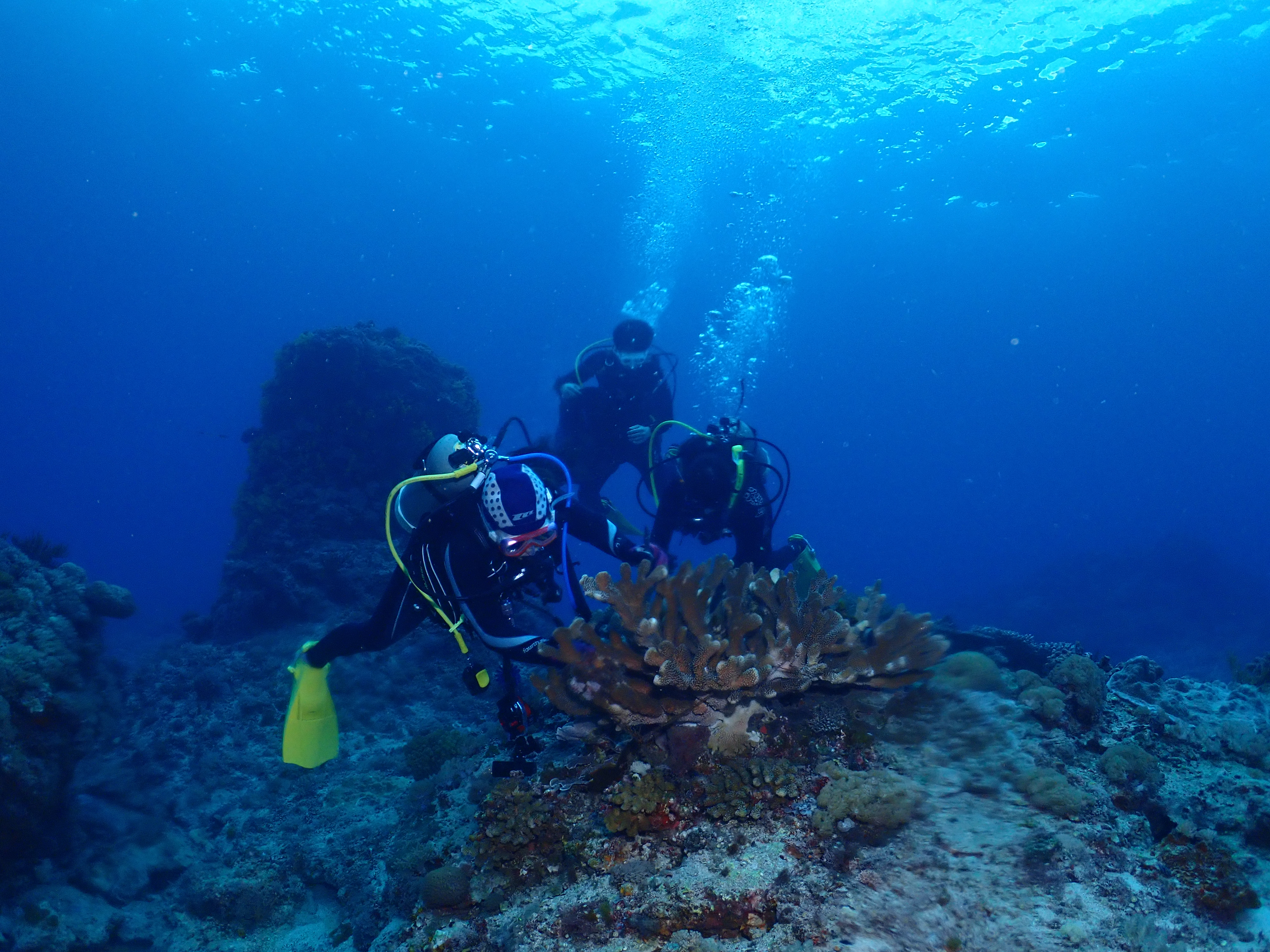
coral
0
1
0
0
0
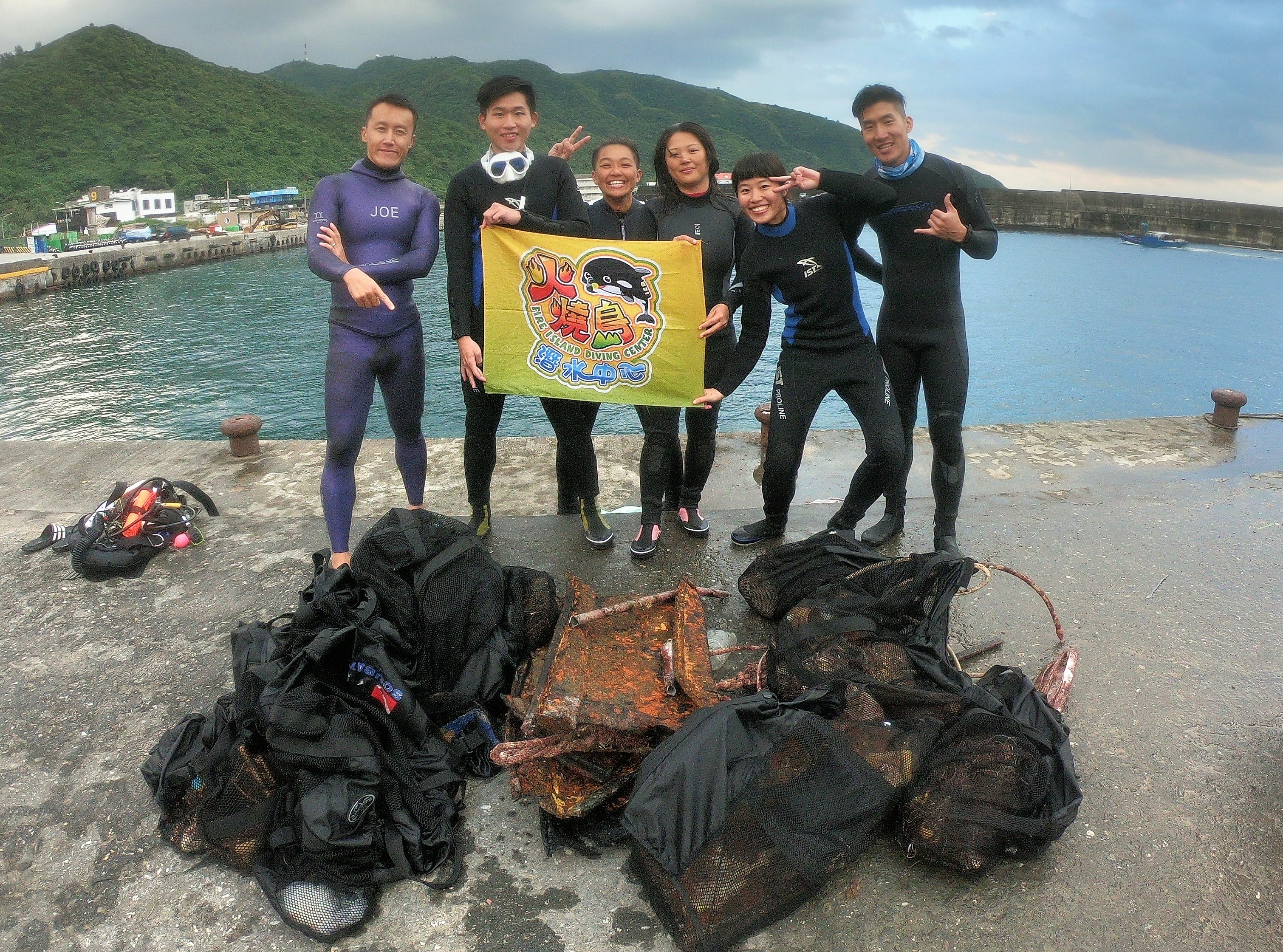
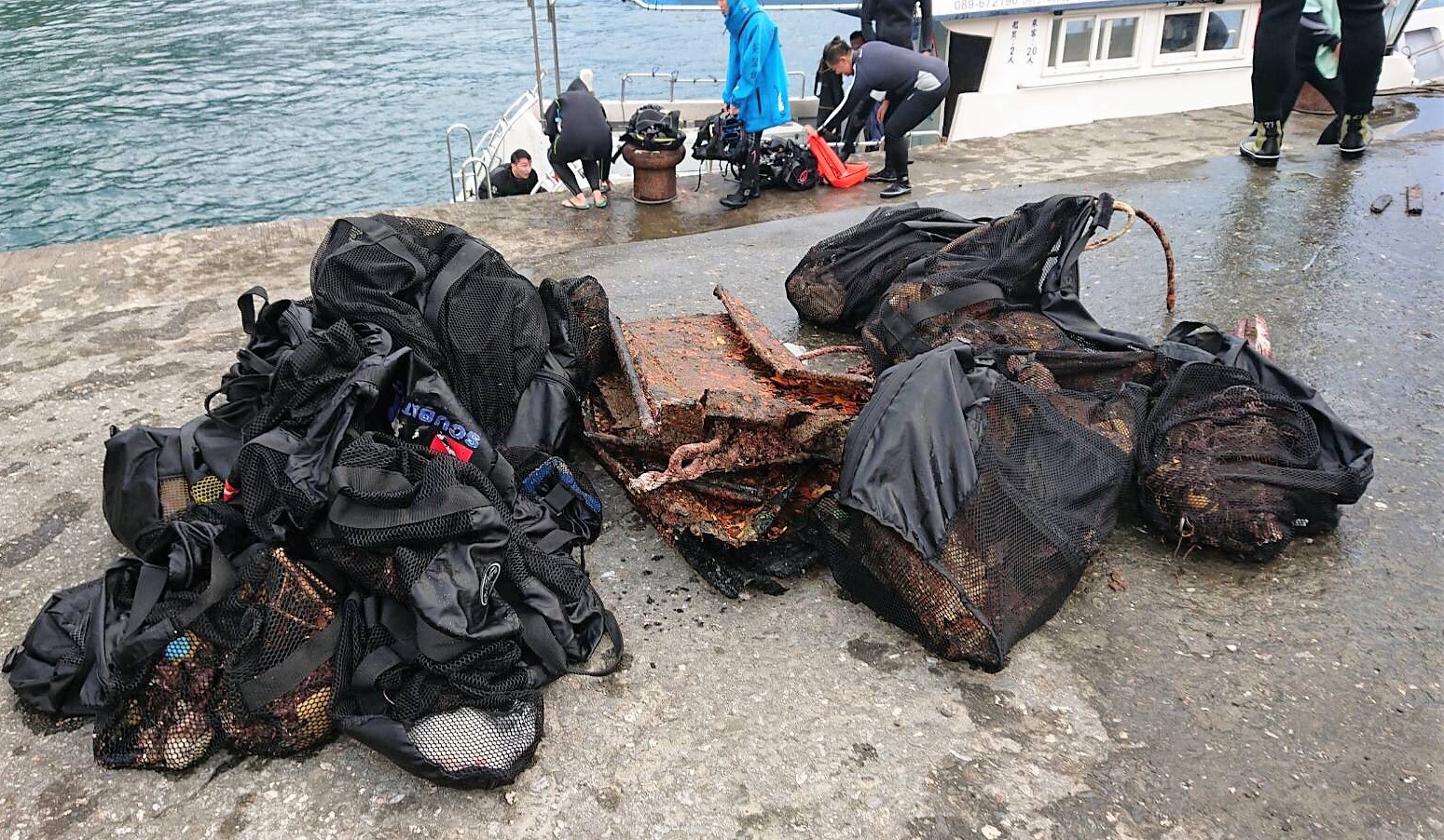
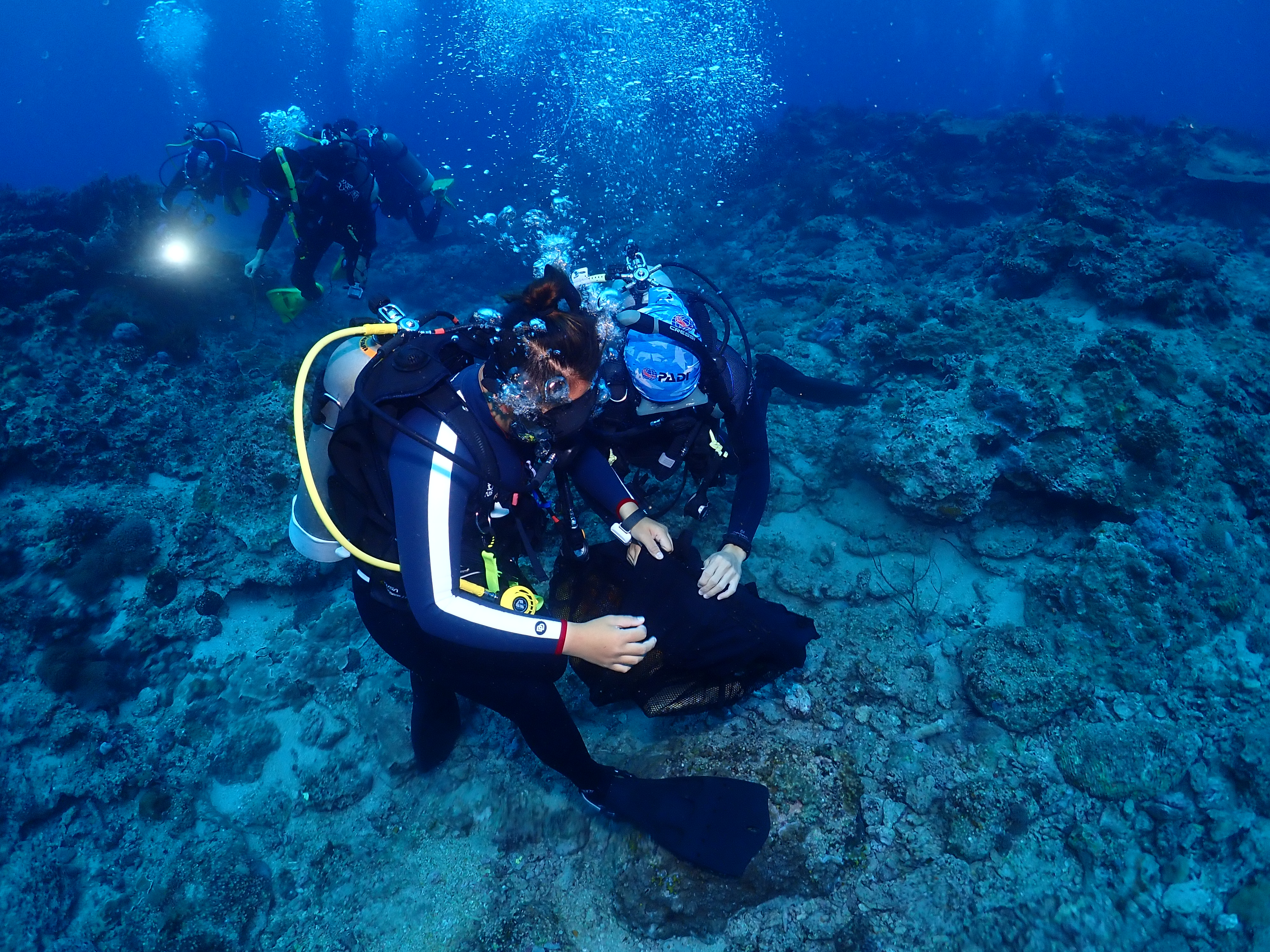
There are more trash to collect for sure.
No
Dive almost everyday these sites so will collect more.
Propeller
Rainy and windy
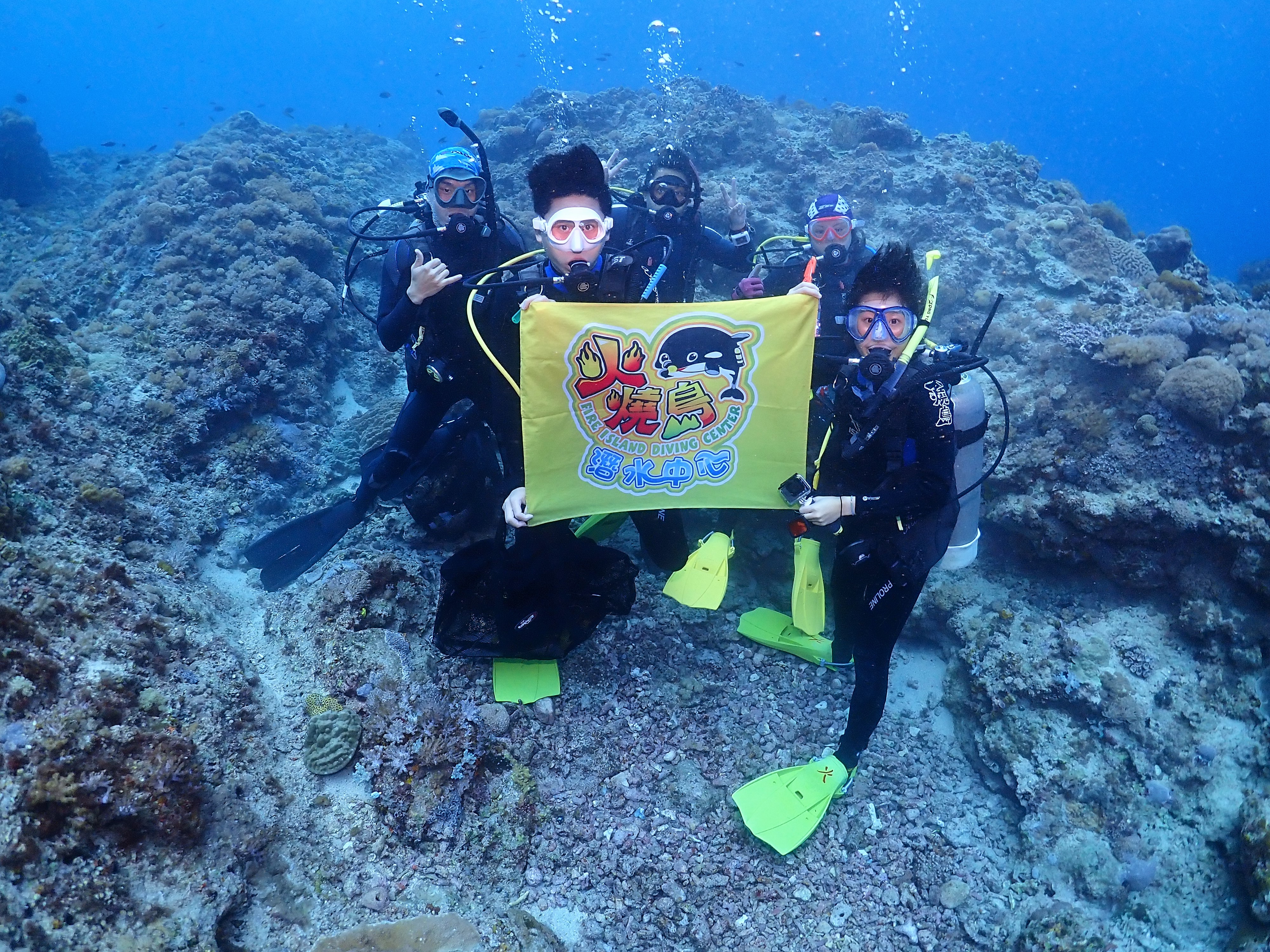
Dive With A Finn
Samuel Sjöstrand
0
0
0
0
0
0
0
0
0
0
0
0
0
0
0
0
0
0
0
3
0
0
0
0
0
0
1
0
0
0
0
0
0
0
0
0
3.00
55
17.00
3.00
0
estimated
0
0
0
1
1679.90
0
0
0
0
0
Plastic
Fishing lures
0
On
kilograms
0
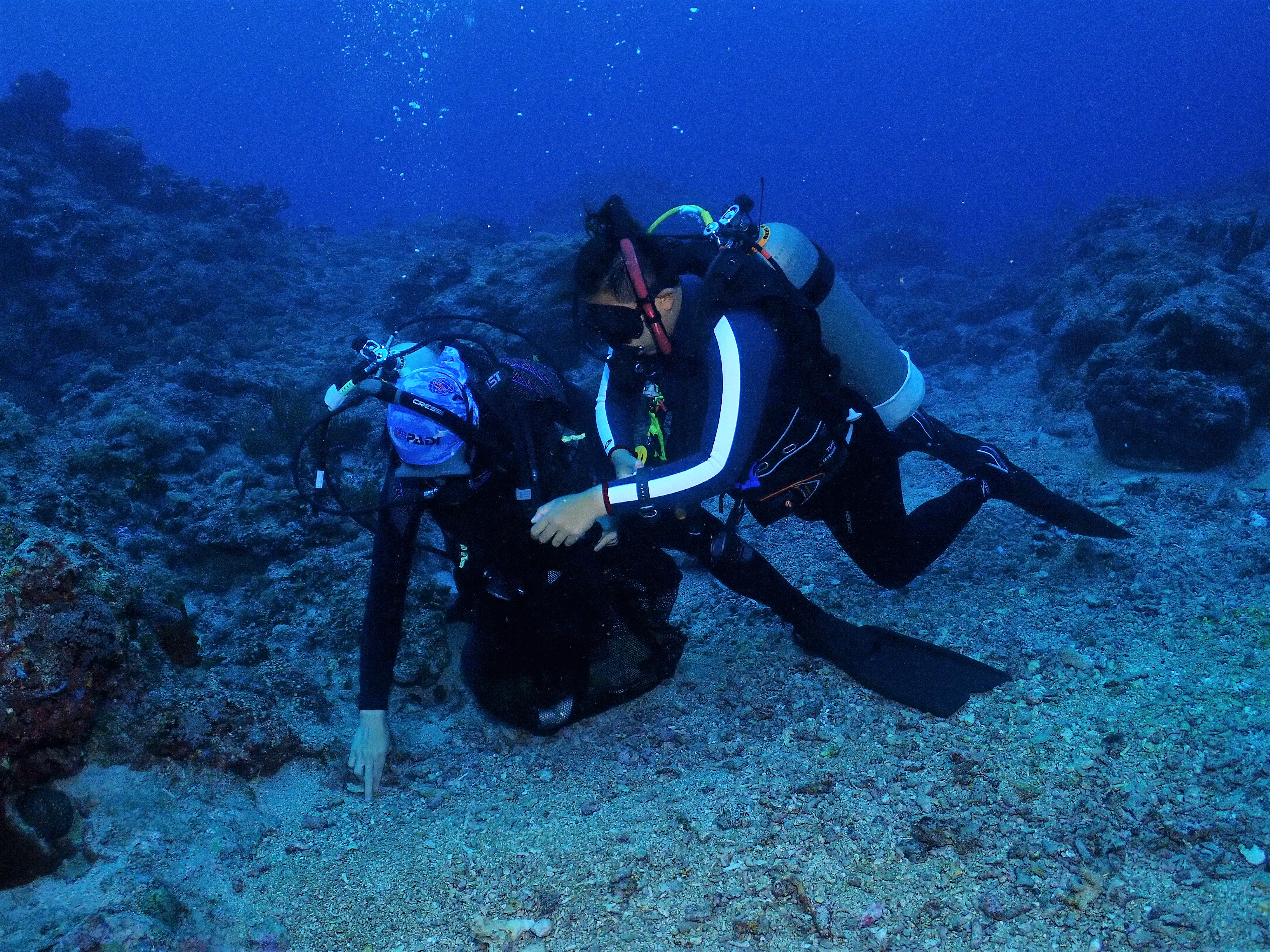
I have debris data to report
0
0
0
Slight for waves 0.5 -1.25 meter high
0
0
0
0
0
0
0
m2
0
0
meters
coral reef
1
0
0
0
0
0
0
0
0
0
0
0
0
0
0
0
1
0
0
0
0
0
0
0
0
0
0
0
0
State\Province
Krabi
City
Ao Nang
Map Help
Dive Location
If you know your survey site coordinates, enter them manually in decimal degrees using WGS84 Map Datum. Use the minus sign for latitudes south of the equator and longitudes west of the Prime Meridian to 180 degrees.
If you do not know your survey site coordinates, click the “Map Location” tab to use the map to zoom into your survey site and drop the pin on the map to fall within your survey dive site in the water (not on land or the beach). Ensure you zoom in as much as possible to ensure data accuracy.
Entangled Help