Menu

Living Museum

0
2
0

18.345954, -68.83

0
0
0
sand
0
0
0
0
0
Sunny and calm
0
0
0
0
0
0
0
0
0
0
0
0
0
0
0
0
0
0
0
0
Incredible Dive
Louise Kraechter
0
0
0
0
0
0
0
0
0
0
0
0
0
0
0
0
0
0
1
2
0
0
0
0
0
0
0
0
0
0
0
0
0
0
0.50
33
9.40
1.00
0
estimated
0
0
4116.92
0
0
0
0
0
0
On
kilograms
0
I have debris data to report
0
0
0
Calm (glassy to rippled) for waves 0 – 0.1 meter high
0
0
0
0
0
0
0
m2
0
0
meters
coral reef
0
0
0
0
0
0
0
0
0
0
0
0
0
0
0
0
0
0
0
0
0
1
0
0
0
0
0
0
Dominican Republic
City
Bayahibe
Map Help


Dive Location

If you know your survey site coordinates, enter them manually in decimal degrees using WGS84 Map Datum. Use the minus sign for latitudes south of the equator and longitudes west of the Prime Meridian to 180 degrees.

If you do not know your survey site coordinates, click the “Map Location” tab to use the map to zoom into your survey site and drop the pin on the map to fall within your survey dive site in the water (not on land or the beach). Ensure you zoom in as much as possible to ensure data accuracy.

Entangled Help


Use the vertical tabs below to record any entangled animals you found of each type.

Ballard Drift

50.62344444, -1.94333333

sand
Were in a big pile of abandoned / lost crab pots.
Unable to bring them u,p as current was running to fast and no lift bag with us.
Silicone sealant tube
Fairly calm, bit of Easterly wind in the week.
Poole Diving Ltd.
Ian Craddock
1
10
0.50
59
20.00
14.00
estimated
2289.10
1
On
kilograms
I have debris data to report
Smooth (wavelets) for waves 0.1 - 0.5 meter high
Abandoned pots
Crab
Dead
6
m2
meters
rocky reef
United Kingdom
State\Province
Dorset
City
Poole
Map Help


Dive Location

If you know your survey site coordinates, enter them manually in decimal degrees using WGS84 Map Datum. Use the minus sign for latitudes south of the equator and longitudes west of the Prime Meridian to 180 degrees.

If you do not know your survey site coordinates, click the “Map Location” tab to use the map to zoom into your survey site and drop the pin on the map to fall within your survey dive site in the water (not on land or the beach). Ensure you zoom in as much as possible to ensure data accuracy.

Entangled Help


Use the vertical tabs below to record any entangled animals you found of each type.

Muka 2

2
2
coral
1
10

1.6118580786985, 124.78259176077

no
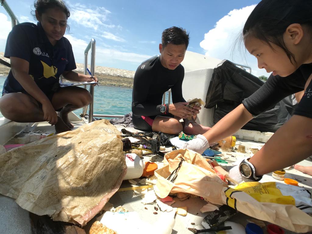
wet wipe
Sun and Rain. Flat conditions. Underwater current at some dive sites in the last week
Two Fish Divers Bunaken
Nicholas Hogle
1
2
1
2.00
60
20.90
4.00
estimated
1
2187.41
fishing line
plastic bag
food wrapper
On
kilograms
I have debris data to report
Calm (glassy to rippled) for waves 0 – 0.1 meter high m2
meters
coral reef
Indonesia
State\Province
North Suluwesi
City
Manado
Map Help


Dive Location

If you know your survey site coordinates, enter them manually in decimal degrees using WGS84 Map Datum. Use the minus sign for latitudes south of the equator and longitudes west of the Prime Meridian to 180 degrees.

If you do not know your survey site coordinates, click the “Map Location” tab to use the map to zoom into your survey site and drop the pin on the map to fall within your survey dive site in the water (not on land or the beach). Ensure you zoom in as much as possible to ensure data accuracy.
Entangled Help


Use the vertical tabs below to record any entangled animals you found of each type.

Pedra do Meio - Bom Bom Bridge

10
1
sand
1

1.6931608377166, 7.4010654993531

No
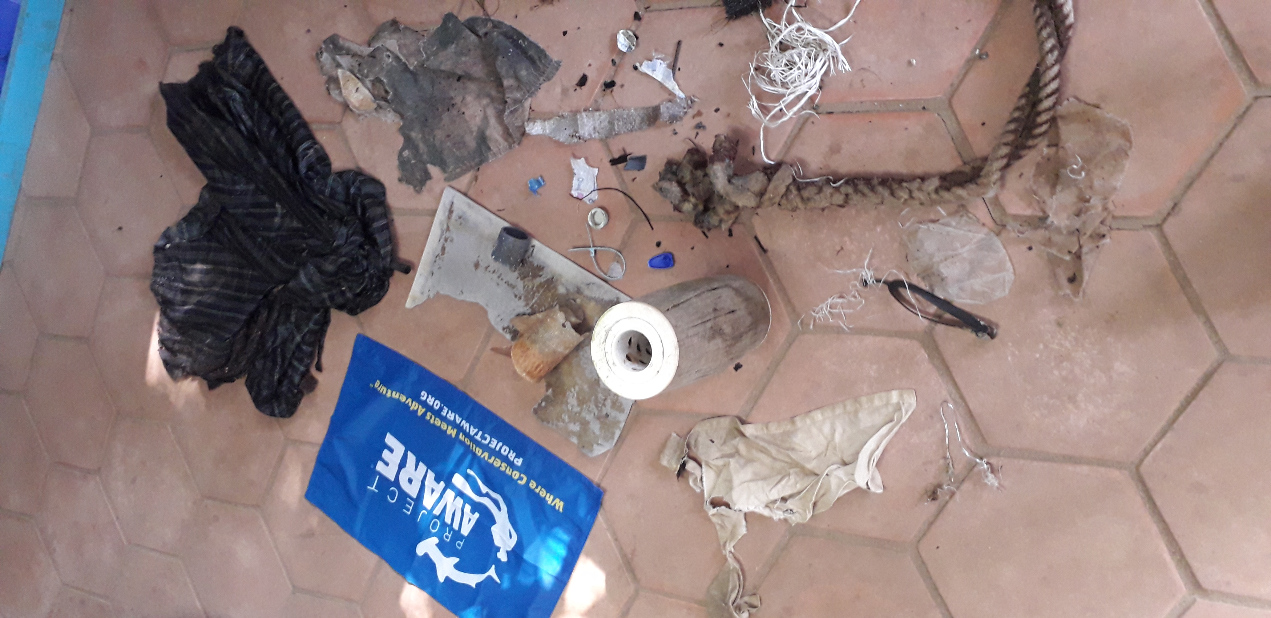
A water filter
Weather changing to the dry season. Some current and wind
1
1
1
Umbrela
Water filter
fishing rope
Bom Bom Dive Centre
Flavio Quina
2
1
16
1
3
2
6.00
44
5.50
1.50
1
estimated
40.00
water filter
clothing
On
kilograms
I have debris data to report
Smooth (wavelets) for waves 0.1 - 0.5 meter high
1
m2
meters
rocky reef
2
Sao Tome and Principe
City
Ilheu Bom Bom
Map Help


Dive Location

If you know your survey site coordinates, enter them manually in decimal degrees using WGS84 Map Datum. Use the minus sign for latitudes south of the equator and longitudes west of the Prime Meridian to 180 degrees.

If you do not know your survey site coordinates, click the “Map Location” tab to use the map to zoom into your survey site and drop the pin on the map to fall within your survey dive site in the water (not on land or the beach). Ensure you zoom in as much as possible to ensure data accuracy.
Entangled Help


Use the vertical tabs below to record any entangled animals you found of each type.

ADS352 - Meno Slope

6
2
0
0

-8.35026, 116.0511

0
0
0
coral
0
1
0
0
0
Windy
1
2
1
4
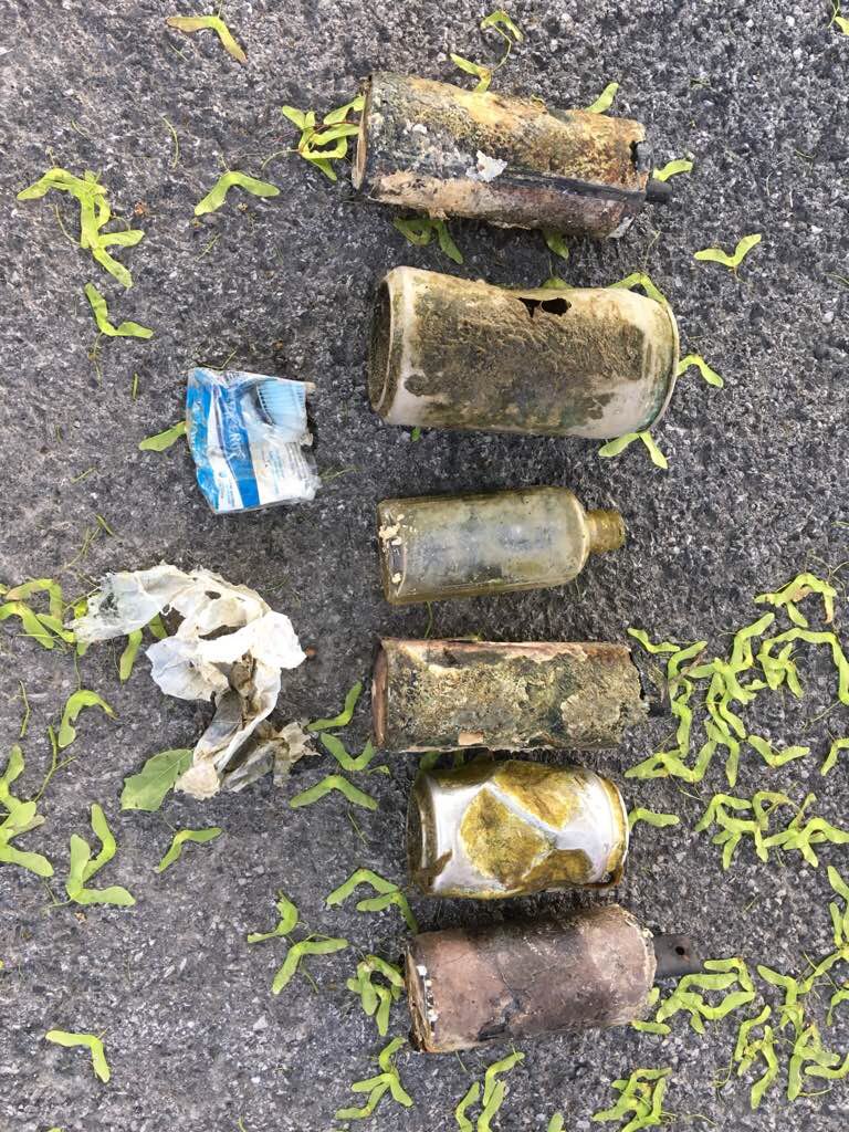
Paint
Panty liner
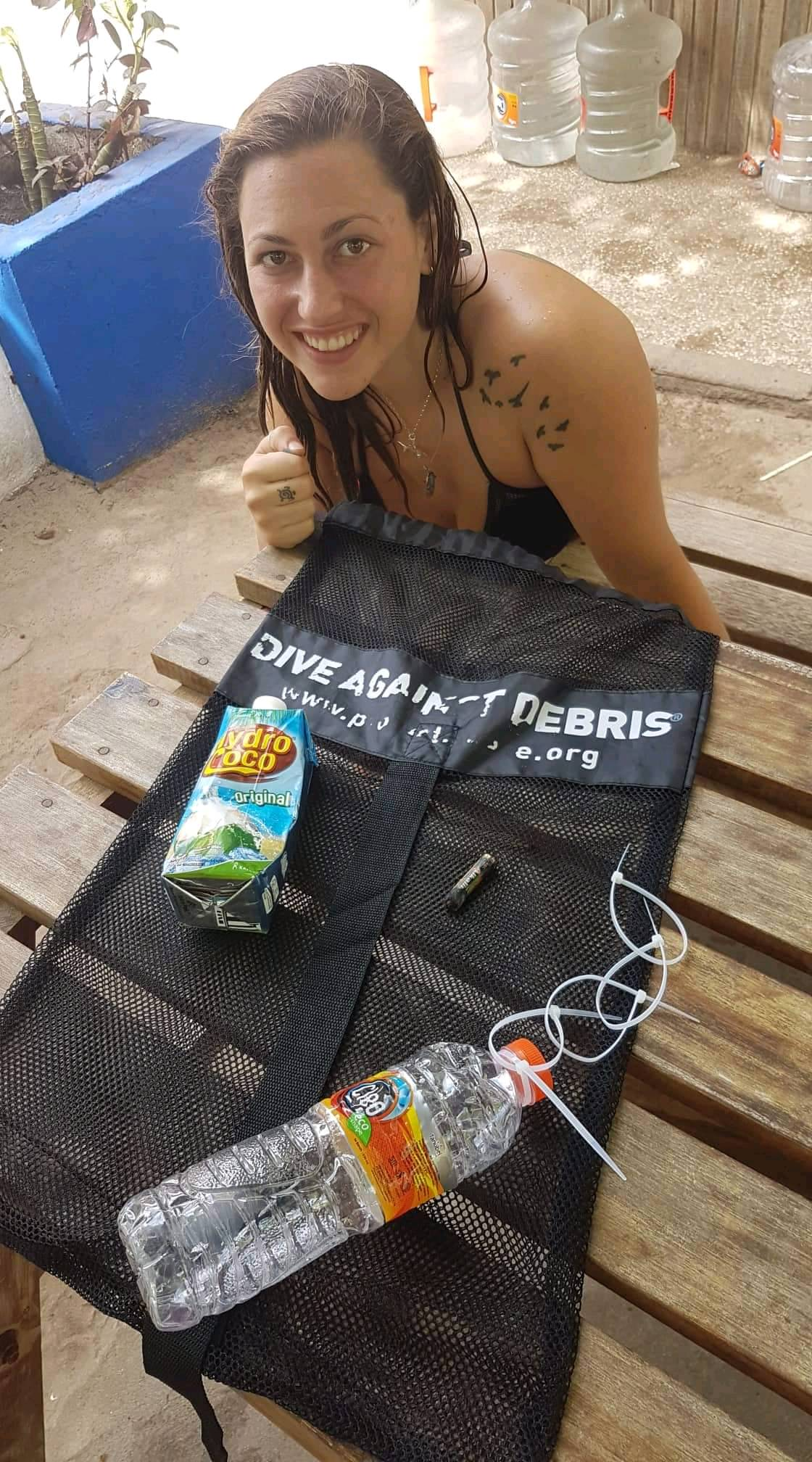
Shampoo wrapper
Leaf
Gili Shark Conservation
Katon
0
0
0
1
0
0
0
0
0
0
0
0
0
0
0
0
0
0
2
6
1
0
0
0
3
1
4
0
0
0
0
0
0
0
0
0
1.50
48
27.00
11.00
1
estimated
0
0
0
0
12644.00
0
0
0
0
0
0
On
kilograms
0
I have debris data to report
0
0
0
Calm (glassy to rippled) for waves 0 – 0.1 meter high
4
0
0
0
1
0
0
m2
0
0
meters
coral reef
1
0
0
0
0
0
0
0
0
0
0
0
0
0
0
0
0
0
0
0
0
0
0
0
0
0
0
0
0
Indonesia
State\Province
Lombok
City
Gili Meno
Map Help


Dive Location

If you know your survey site coordinates, enter them manually in decimal degrees using WGS84 Map Datum. Use the minus sign for latitudes south of the equator and longitudes west of the Prime Meridian to 180 degrees.

If you do not know your survey site coordinates, click the “Map Location” tab to use the map to zoom into your survey site and drop the pin on the map to fall within your survey dive site in the water (not on land or the beach). Ensure you zoom in as much as possible to ensure data accuracy.
Entangled Help


Use the vertical tabs below to record any entangled animals you found of each type.

Bounty Wreck

0
0
0
0

-8.349681, 116.05142

0
0
0
coral
0
0
0
0
0
Dive site was pretty good condition.
Battery
Windy overcast
Oceans 5
Giny Pinto
0
0
0
0
0
0
0
0
0
0
0
0
0
0
0
0
0
0
1
2
0
0
0
0
0
0
1
0
0
0
0
0
0
0
0
0
1.00
30
23.00
13.00
0
estimated
0
0
0
0
20.00
0
0
0
0
0
Battery
0
On
kilograms
0
I have debris data to report
0
0
0
Slight for waves 0.5 -1.25 meter high
0
0
0
0
0
0
0
m2
0
0
meters
rocky reef
1
0
0
0
0
0
0
0
0
0
0
0
0
0
0
0
0
0
0
0
0
0
0
0
0
0
0
0
0
Indonesia
State\Province
Lombok
City
Gili Air
Map Help


Dive Location

If you know your survey site coordinates, enter them manually in decimal degrees using WGS84 Map Datum. Use the minus sign for latitudes south of the equator and longitudes west of the Prime Meridian to 180 degrees.

If you do not know your survey site coordinates, click the “Map Location” tab to use the map to zoom into your survey site and drop the pin on the map to fall within your survey dive site in the water (not on land or the beach). Ensure you zoom in as much as possible to ensure data accuracy.
Entangled Help


Use the vertical tabs below to record any entangled animals you found of each type.

Banner fish BAY

0
30
1
0

28.497487, 34.517634

0
0
0
seagrass
0
0
1
0
0
Eid
Not as bad as in the past
Dice
Fair
1
Dice
H2O Dahab
KATYA
0
1
0
1
95
0
0
0
7
0
0
0
0
0
0
0
0
0
0
8
0
0
4
0
0
1
3
0
0
0
0
0
0
0
0
0
7.00
45
30.00
5.00
0
measured
0
0
0
0
100.00
0
0
0
0
0
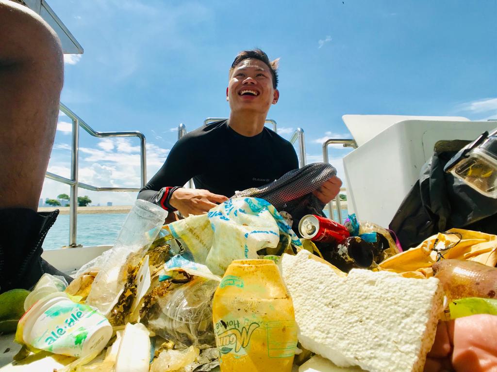
Cigarettes
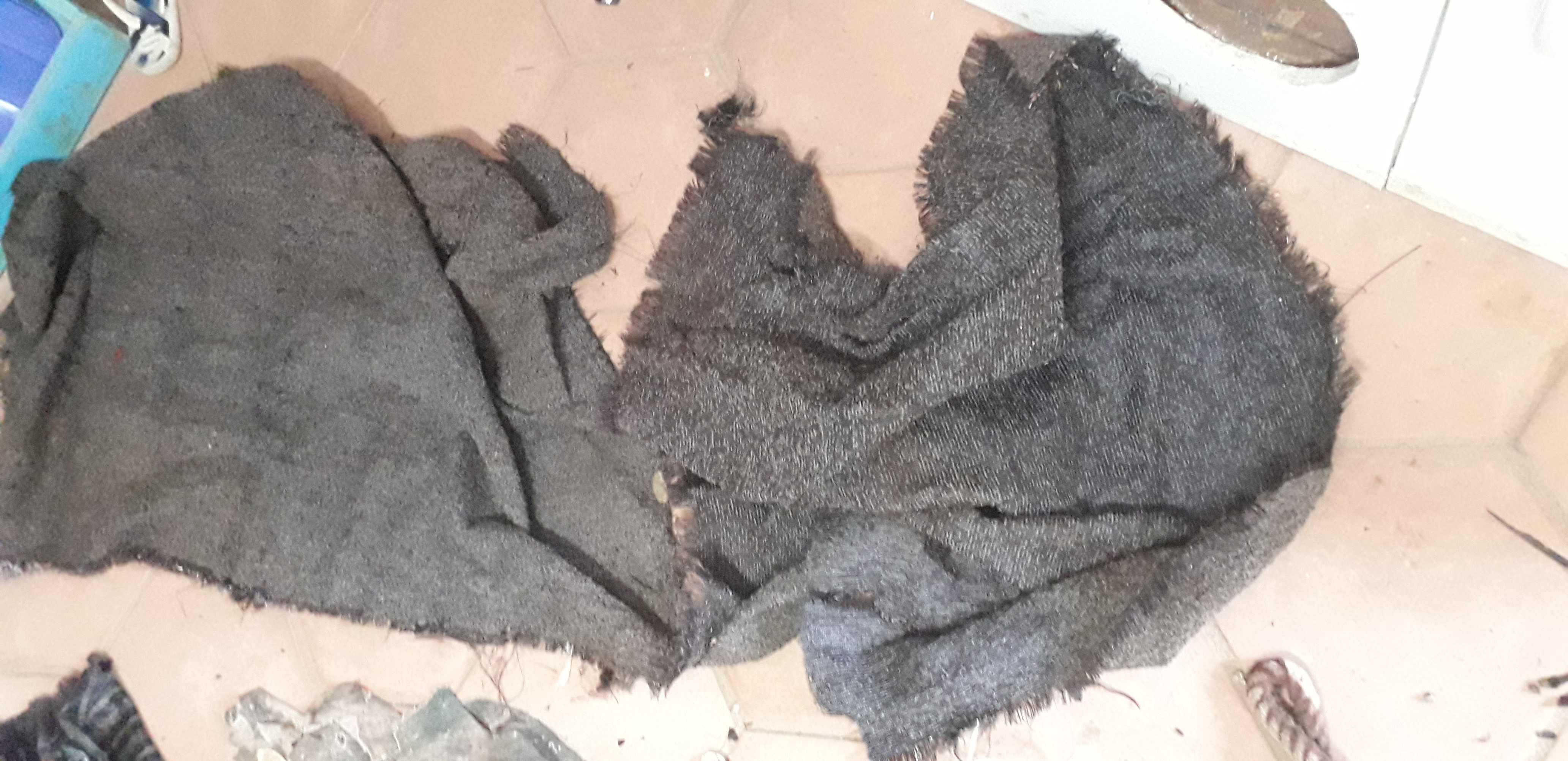
Cloth
Plastic fragments
0
On
kilograms
0
I have debris data to report
0
0
0
Calm (glassy to rippled) for waves 0 – 0.1 meter high
0
0
1
0
10
0
0
m2
0
0
meters
seagrass
0
0
0
0
0
6
0
0
0
0
0
0
0
2
0
0
0
1
0
0
0
0
4
0
0
0
0
0
0
Egypt
State\Province
South Sinai
City
Dahab
Map Help


Dive Location

If you know your survey site coordinates, enter them manually in decimal degrees using WGS84 Map Datum. Use the minus sign for latitudes south of the equator and longitudes west of the Prime Meridian to 180 degrees.

If you do not know your survey site coordinates, click the “Map Location” tab to use the map to zoom into your survey site and drop the pin on the map to fall within your survey dive site in the water (not on land or the beach). Ensure you zoom in as much as possible to ensure data accuracy.
Entangled Help


Use the vertical tabs below to record any entangled animals you found of each type.

Lazarus island

73
6
silt
9
5
3
230

1.230368711503, 103.8483501415

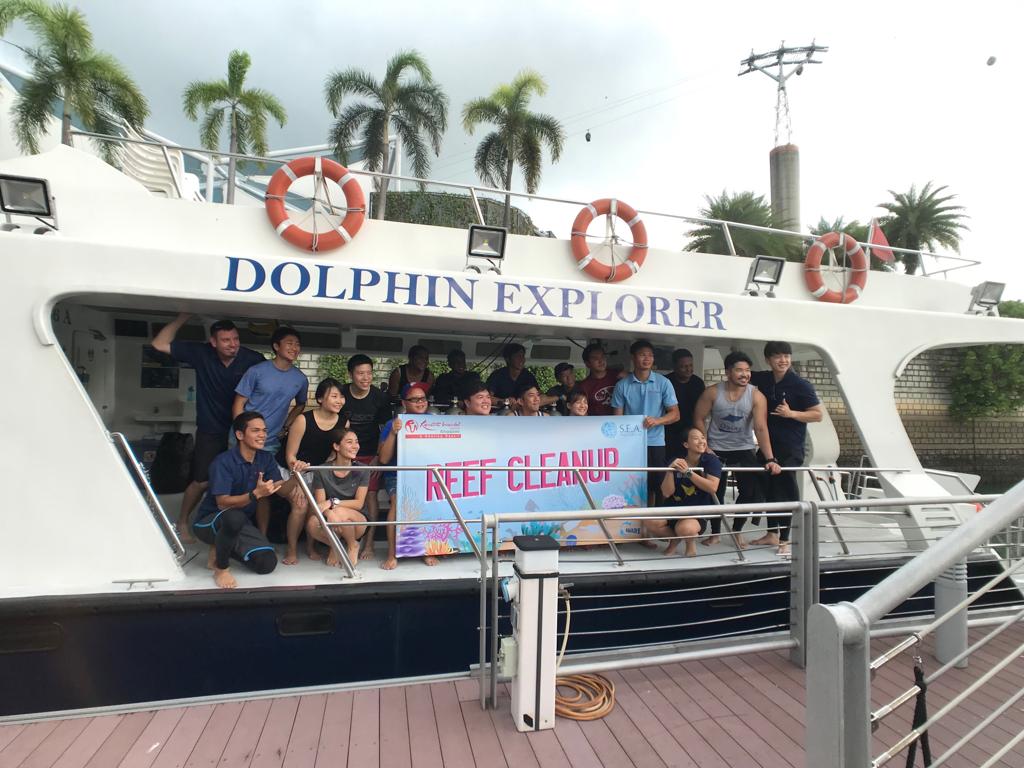
More trash at surface than underwater
Rainy
Resorts World
Russell Morgan
289
6
35
91
19
2
124
9
1
15.00
60
9.00
1.00
measured
6000.00
1
1
On
kilograms
I have debris data to report
12
Calm (glassy to rippled) for waves 0 – 0.1 meter high
15
m2
meters
other
5
2
8
2
1
2
Singapore
Map Help


Dive Location

If you know your survey site coordinates, enter them manually in decimal degrees using WGS84 Map Datum. Use the minus sign for latitudes south of the equator and longitudes west of the Prime Meridian to 180 degrees.

If you do not know your survey site coordinates, click the “Map Location” tab to use the map to zoom into your survey site and drop the pin on the map to fall within your survey dive site in the water (not on land or the beach). Ensure you zoom in as much as possible to ensure data accuracy.
Entangled Help


Use the vertical tabs below to record any entangled animals you found of each type.

Ecosystem Other
Coral and silt

ADS401 - Giraavaru Kuda Haa

3
0
0

4.200849957722, 73.412144242739

0
0
0
coral
0
0
0
5
0
Windy
0
0
0
0
0
0
0
0
0
0
0
0
0
0
0
0
0
0
0
0
Best Dives Maldives
Ismail Samooh
0
0
0
0
0
0
0
0
0
0
0
0
0
0
0
0
0
0
0
3
0
0
0
0
0
0
0
0
0
0
0
0
0
0
0.40
55
25.00
7.00
0
estimated
0
0
50.00
0
0
0
0
0
0
On
kilograms
0
I have debris data to report
0
0
0
Smooth (wavelets) for waves 0.1 - 0.5 meter high
0
0
0
0
0
0
0
m2
0
0
meters
coral reef
0
0
0
0
0
0
0
0
0
0
0
0
0
0
0
0
1
0
0
0
0
0
0
0
0
0
0
0
Maldives
State\Province
North Male’ Atoll
City
Giraavaru
Map Help


Dive Location

If you know your survey site coordinates, enter them manually in decimal degrees using WGS84 Map Datum. Use the minus sign for latitudes south of the equator and longitudes west of the Prime Meridian to 180 degrees.

If you do not know your survey site coordinates, click the “Map Location” tab to use the map to zoom into your survey site and drop the pin on the map to fall within your survey dive site in the water (not on land or the beach). Ensure you zoom in as much as possible to ensure data accuracy.
Entangled Help


Use the vertical tabs below to record any entangled animals you found of each type.

La Baie

0
2
0

45.257213404245, -74.150728402587

0
0
0
sand
0
0
0
0
0
Yes!
Car part
Sunny
0
0
0
0
0
0
0
0
0
0
0
0
0
0
0
0
0
0
0
0
Eli
0
0
0
0
0
0
0
0
0
0
0
0
0
0
0
0
0
0
1
2
0
0
0
0
0
0
0
0
0
0
0
0
0
0
20.00
60
15.00
2.00
0
estimated
0
0
95869.70
0
0
0
0
0
0
On
pounds
0
I have debris data to report
1
0
0
Calm (glassy to rippled) for waves 0 – 0.1 meter high
0
0
0
0
0
0
0
m2
0
0
feet
seagrass
0
0
0
0
0
0
3
0
0
0
0
0
0
0
0
0
2
0
0
0
0
0
0
0
0
0
0
0
Canada
State\Province
Quebec
City
Salaberry-de-Valleyfield
Map Help


Dive Location

If you know your survey site coordinates, enter them manually in decimal degrees using WGS84 Map Datum. Use the minus sign for latitudes south of the equator and longitudes west of the Prime Meridian to 180 degrees.

If you do not know your survey site coordinates, click the “Map Location” tab to use the map to zoom into your survey site and drop the pin on the map to fall within your survey dive site in the water (not on land or the beach). Ensure you zoom in as much as possible to ensure data accuracy.
Entangled Help


Use the vertical tabs below to record any entangled animals you found of each type.

Subscribe to