White House Grounds
50.614388888889, -1.9278055555556
This is a area of fairly strong currents with lot of cracks and crevices for marine life to shelter in and so it is an area of high activity for sport and commercial fishing vessels.
Also a very scenic coastline popular with all water craft.
Also a very scenic coastline popular with all water craft.
Have been talking to Peta over email.
Will send some additional information and problems i have.
Will send some additional information and problems i have.
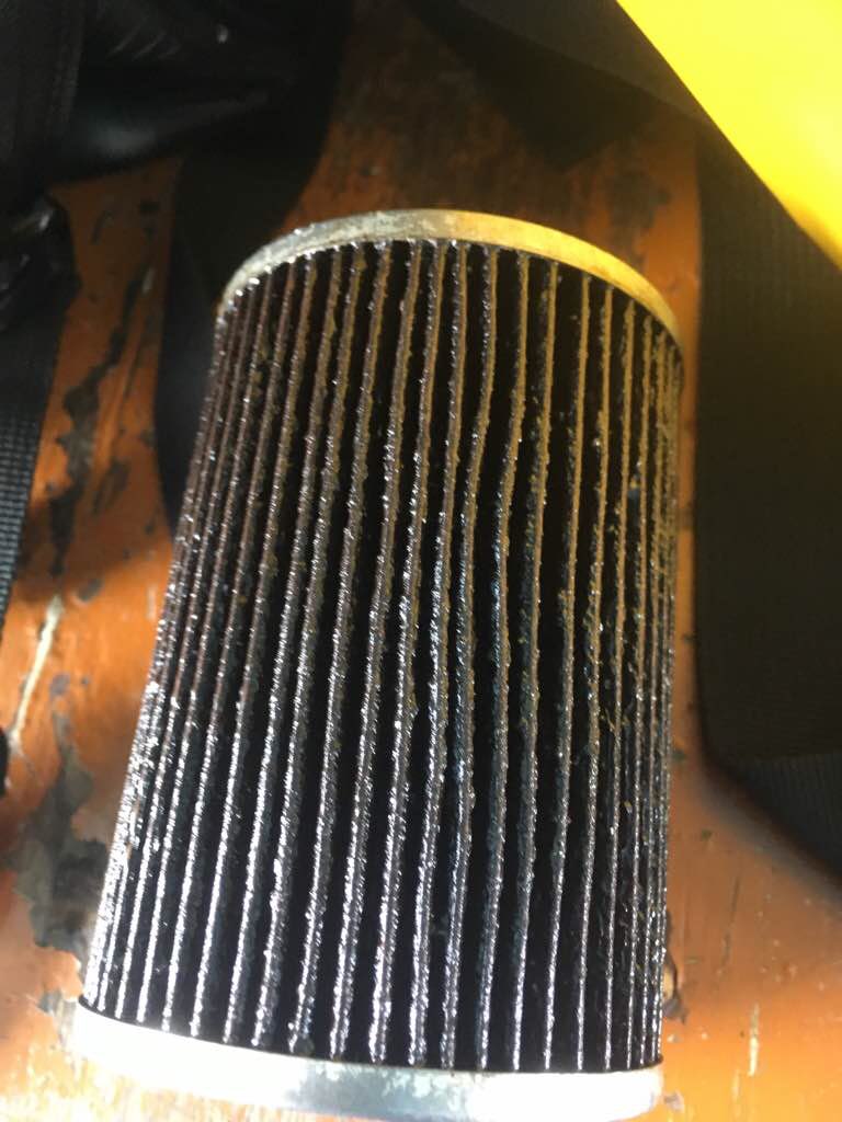
10bar Air line pipe.
Flippas-n-fins
Ian Craddock
2
11
5.00
57
23.50
19.00
estimated
373772.00
1
On
kilograms
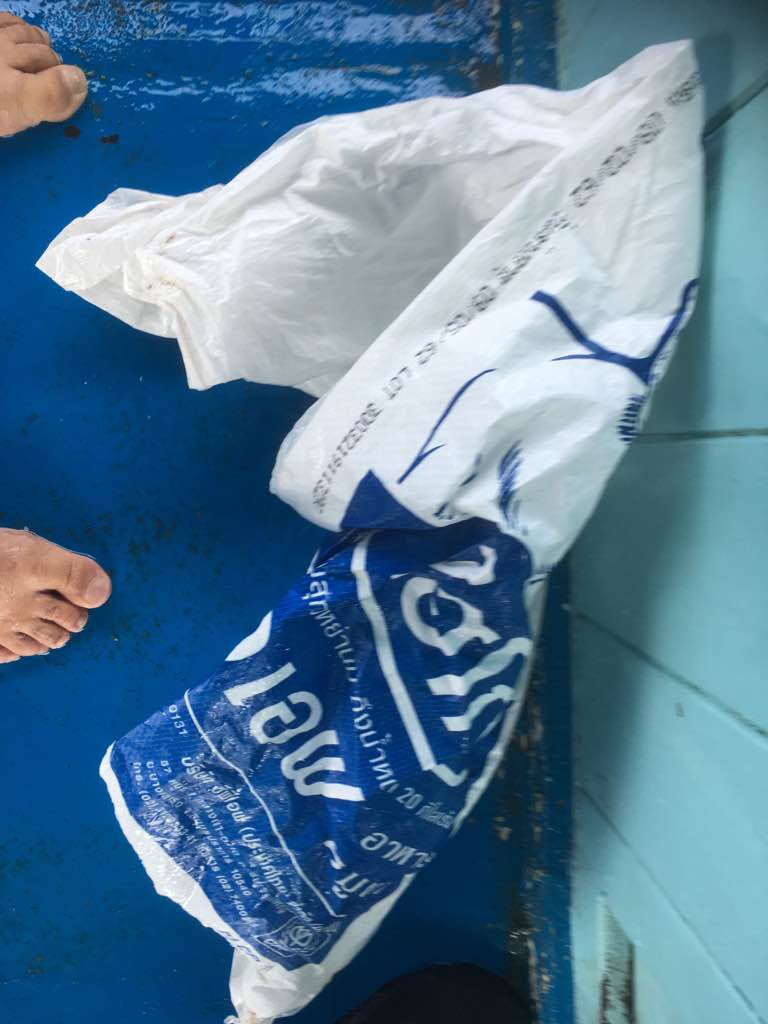
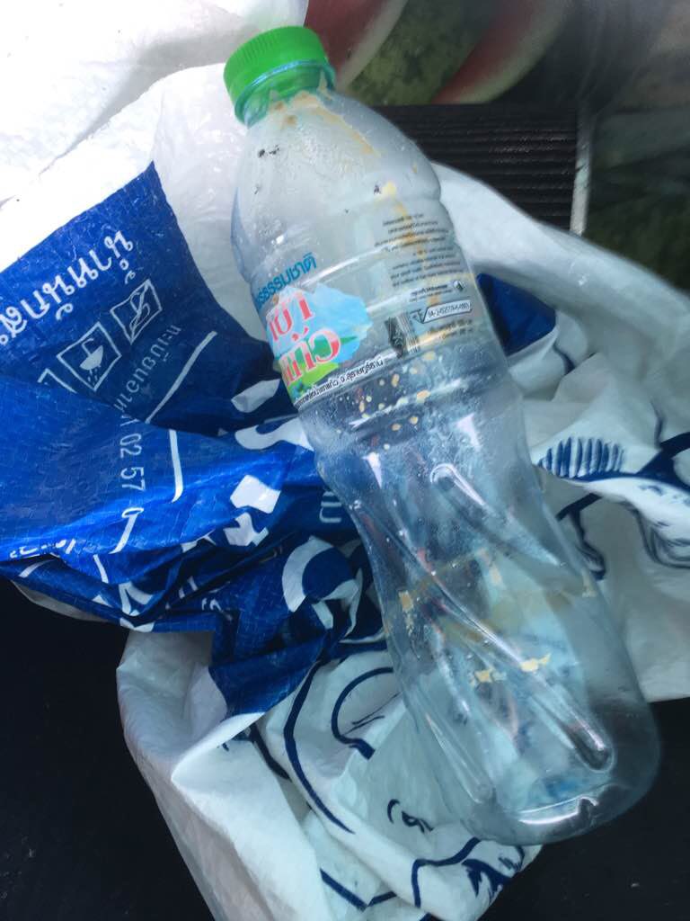
I have debris data to report
2
Smooth (wavelets) for waves 0.1 - 0.5 meter high
m2

meters
rocky reef
1
1
State\Province
Dorset
City
Poole
Map Help
Dive Location
If you know your survey site coordinates, enter them manually in decimal degrees using WGS84 Map Datum. Use the minus sign for latitudes south of the equator and longitudes west of the Prime Meridian to 180 degrees.
If you do not know your survey site coordinates, click the “Map Location” tab to use the map to zoom into your survey site and drop the pin on the map to fall within your survey dive site in the water (not on land or the beach). Ensure you zoom in as much as possible to ensure data accuracy.
Entangled Help