Humber Bay East
0
1
0
0
43.613304, -79.478943
0
0
0
sand
0
1
0
0
0
It's a well know party grassy park area
No
Sun/cloud average air temp 15°C
Dive Source Oshawa
Cindy Walerowich
0
0
0
0
0
0
0
0
0
0
0
0
0
0
0
0
0
2
0
3
0
0
0
0
0
0
4
0
0
0
0
0
0
0
0
0
2.00
25
29.00
2.00
0
estimated
0
0
0
0
3517.05
0
0
0
0
0
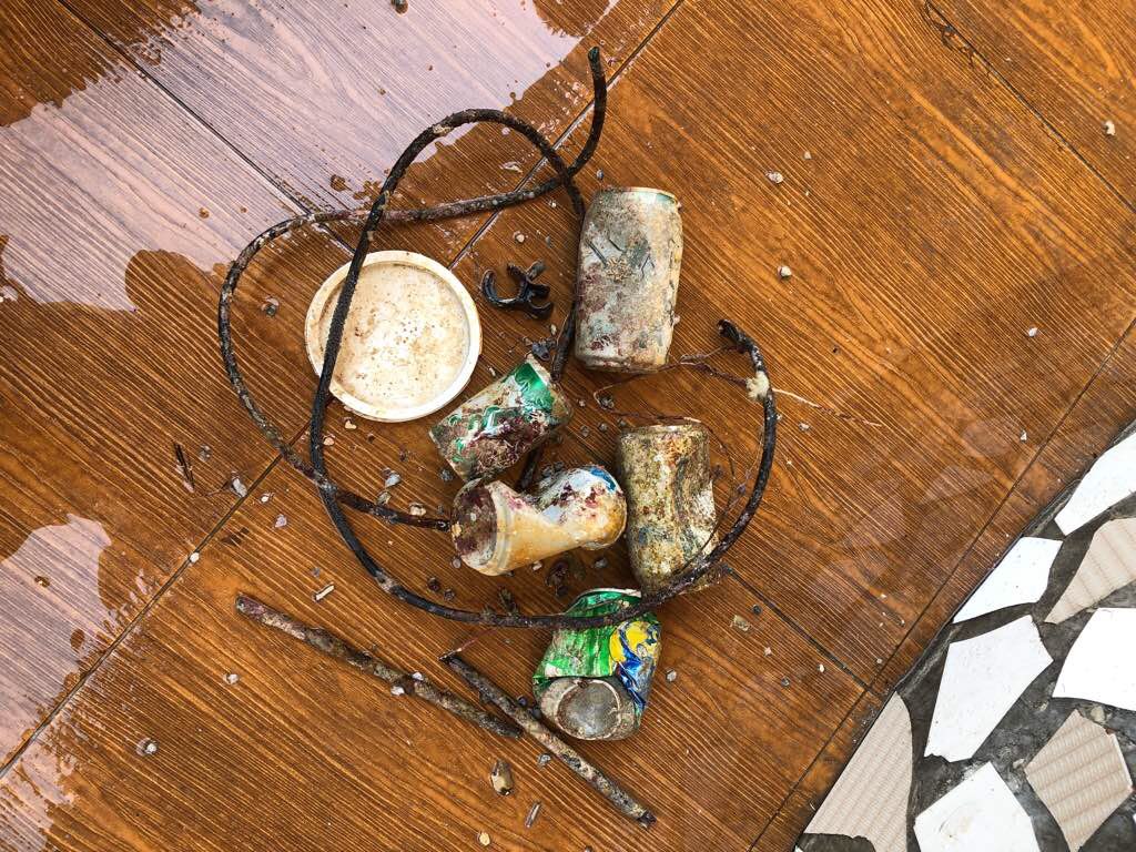
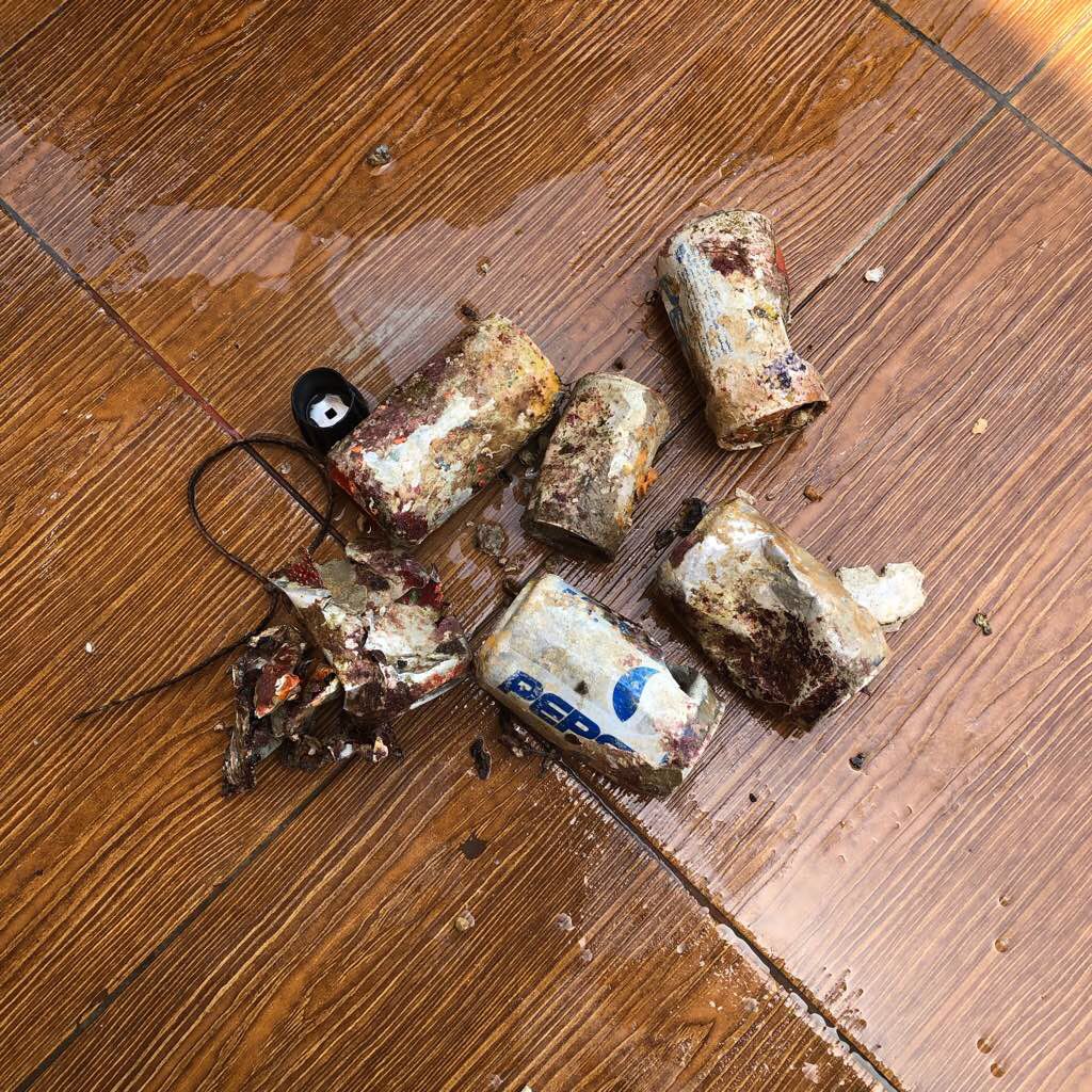
Water bottles
0
On
pounds
0
I have debris data to report
2
0
0
Slight for waves 0.5 -1.25 meter high
0
0
0
0
0
0
0
m2
0
0
feet
other
0
0
0
0
0
0
0
0
0
0
0
0
0
0
0
0
0
0
0
0
0
0
0
0
0
0
0
0
0
State\Province
Ontario
City
Toronto
Map Help
Dive Location
If you know your survey site coordinates, enter them manually in decimal degrees using WGS84 Map Datum. Use the minus sign for latitudes south of the equator and longitudes west of the Prime Meridian to 180 degrees.
If you do not know your survey site coordinates, click the “Map Location” tab to use the map to zoom into your survey site and drop the pin on the map to fall within your survey dive site in the water (not on land or the beach). Ensure you zoom in as much as possible to ensure data accuracy.
Entangled Help