Dive Against Debris - Hong Kong Port Island (Chek Chau)
1
23.5, 114.35583333333
we will conduct this project in the third quarter of this year to check it out again to see the condition will it badly then before , hope this is not ……. !!
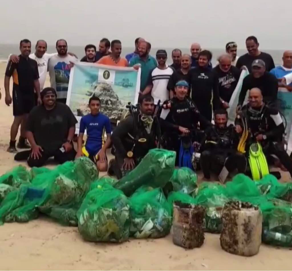
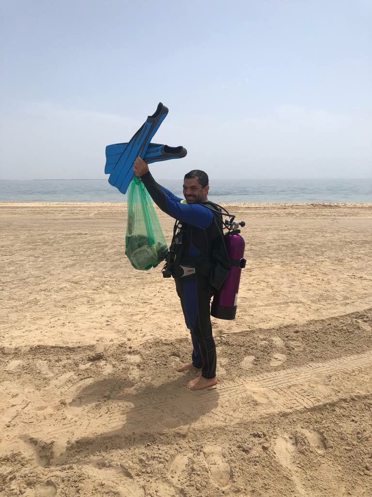
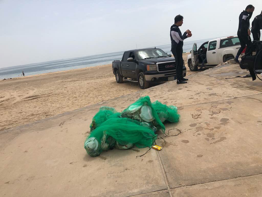
During the program on today and we are most successfully to complete the “Dive Against Debris” in the location Hong Kong Sai Kung Port Island , also known as the name is “Chek Chau”.
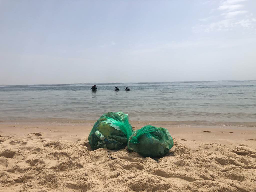
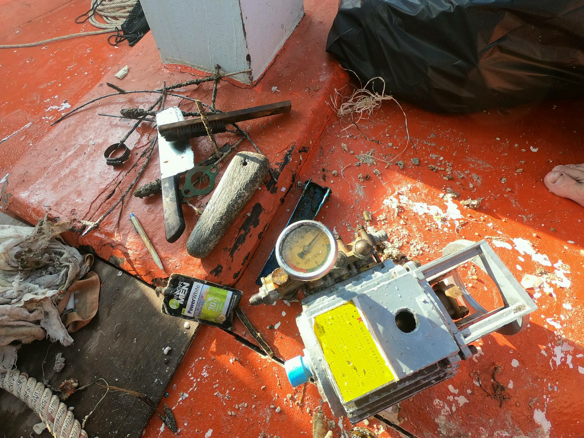
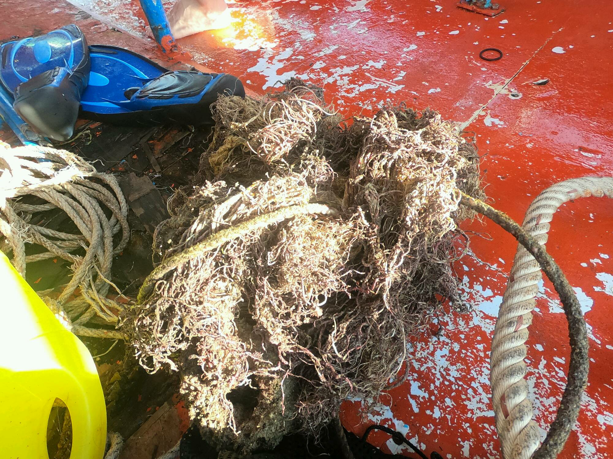
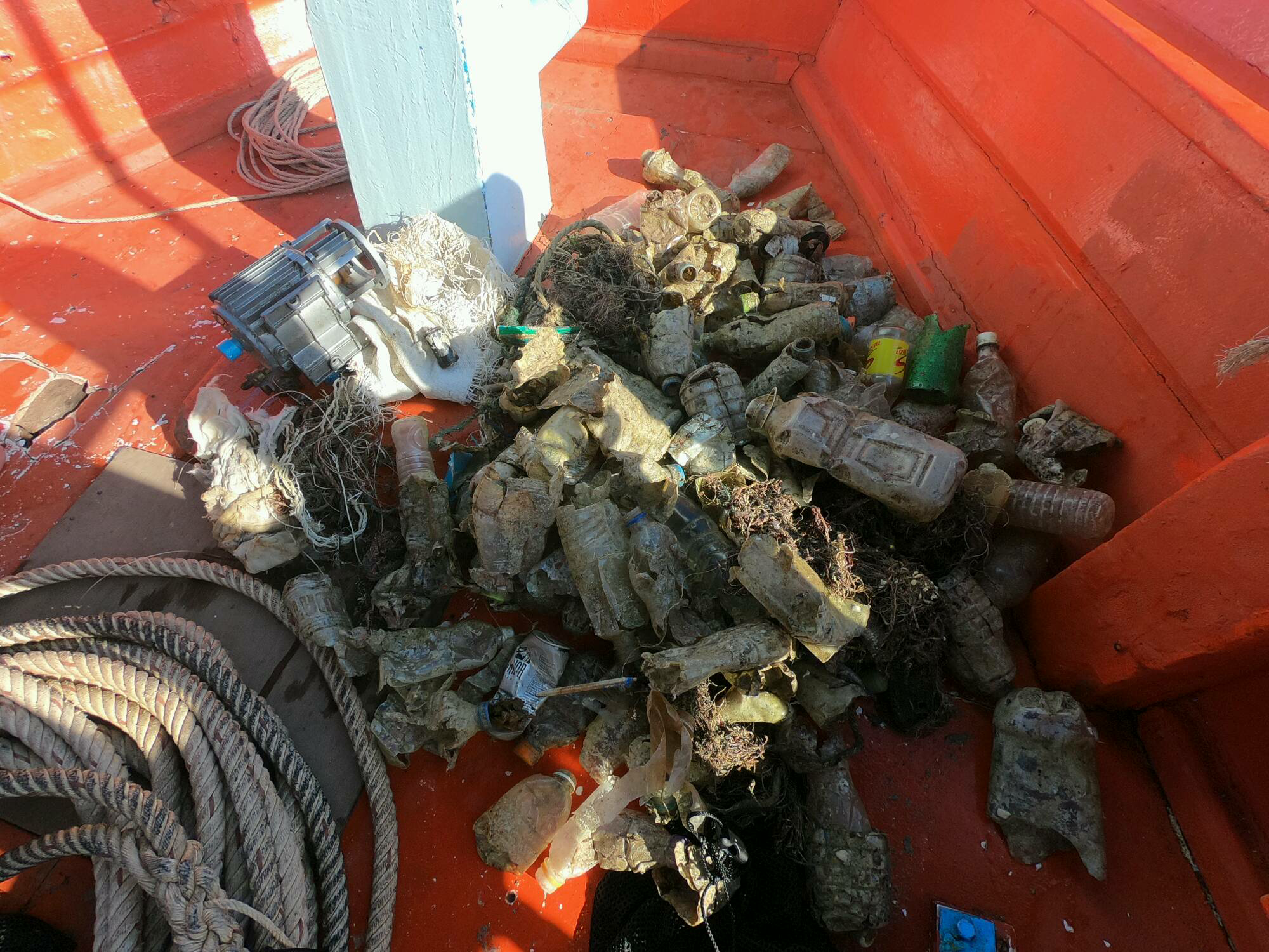
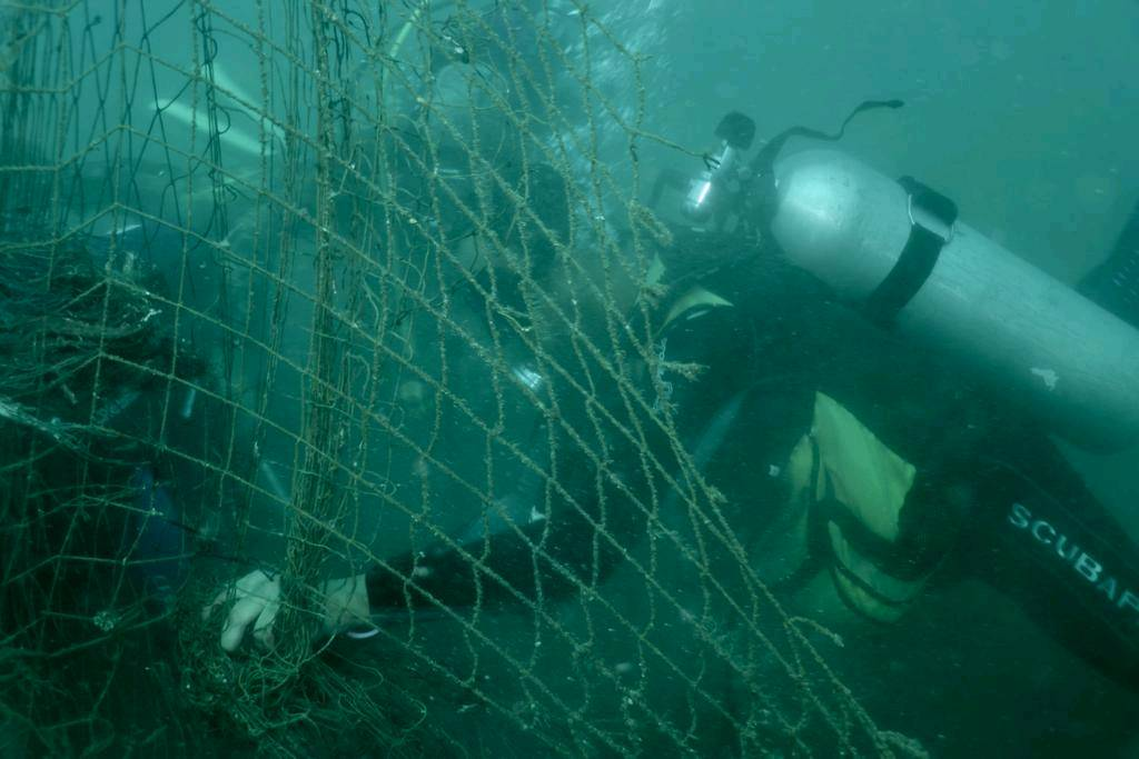
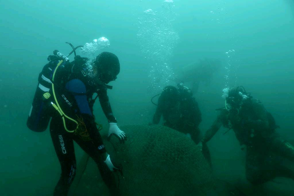
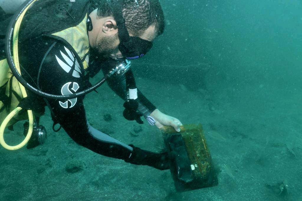
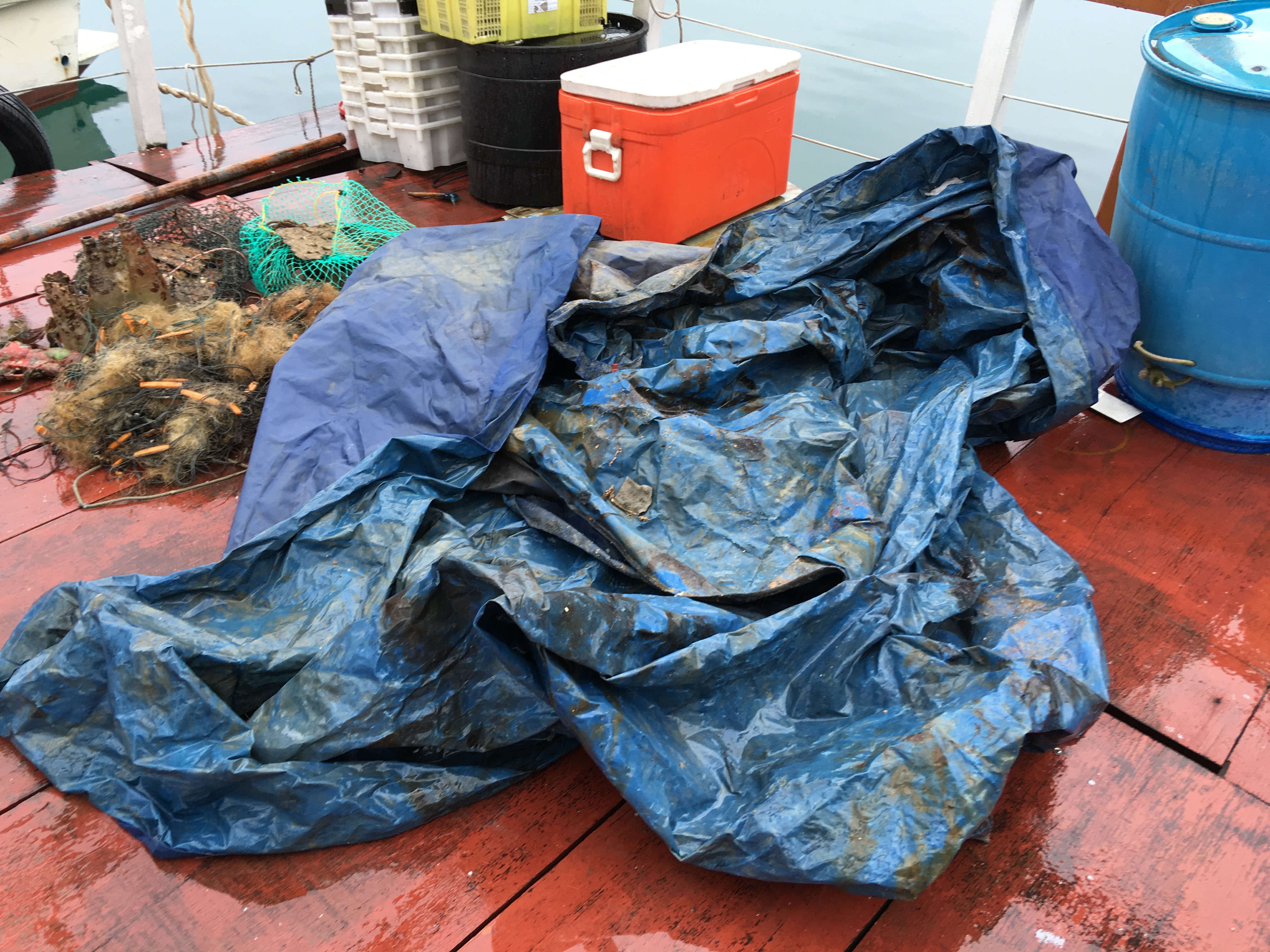
What we got today is most of broken ceramic fragments, beverage bottles (glass) , sandals , fishing net (pieces of nets) , etc ……. Also , we are bring back one canvas is the large size at approximate 5m x 2m and we believe this is the roof of top form the fishing boat.
This dive site we are in third time to carry out this project and it seems it is a slightly improve at the present , the total weight we collect on today had measure at around is 30kg and due to the weather and underwater visibility is not in the expectation and it may be more.
Over 5 life crab are entangled by the fish net and we are help to release it
we found a large canvas about 5 meters x 3 meters, which is believed this to be the roof of top form the speedboat
Mainly cloudy with occasional showers. Temperatures will range between 20 and 24 degrees. Fresh easterly winds, strong offshore and on high ground.
Aquatic Life Conservation Fund
Roger Chan
7
30.00
51
14.00
5.00
measured
150.00
broken ceramic fragments
beverage bottles (glass)
On
kilograms
I have debris data to report
5
Smooth (wavelets) for waves 0.1 - 0.5 meter high
1
fish net
Smaill Crab
Released Unharmed
5
m2
meters
coral reef
2
20
State\Province
NT
City
Sai Kung
Map Help
Dive Location
If you know your survey site coordinates, enter them manually in decimal degrees using WGS84 Map Datum. Use the minus sign for latitudes south of the equator and longitudes west of the Prime Meridian to 180 degrees.
If you do not know your survey site coordinates, click the “Map Location” tab to use the map to zoom into your survey site and drop the pin on the map to fall within your survey dive site in the water (not on land or the beach). Ensure you zoom in as much as possible to ensure data accuracy.
Entangled Help