ADS331 - Sirens
17
1
35.949364275794, 14.404749786481
2
1
seagrass
35.948512510361, 14.399619299323
Large storm caused a lot of damage at the shoreline.
Sunbeds, flag
Large NE Storm
3
Broken Sunbed
Corsair Diving
Chris
1
3
1
5
2
3
3
4
30.00
30
10.00
4.00
3
estimated
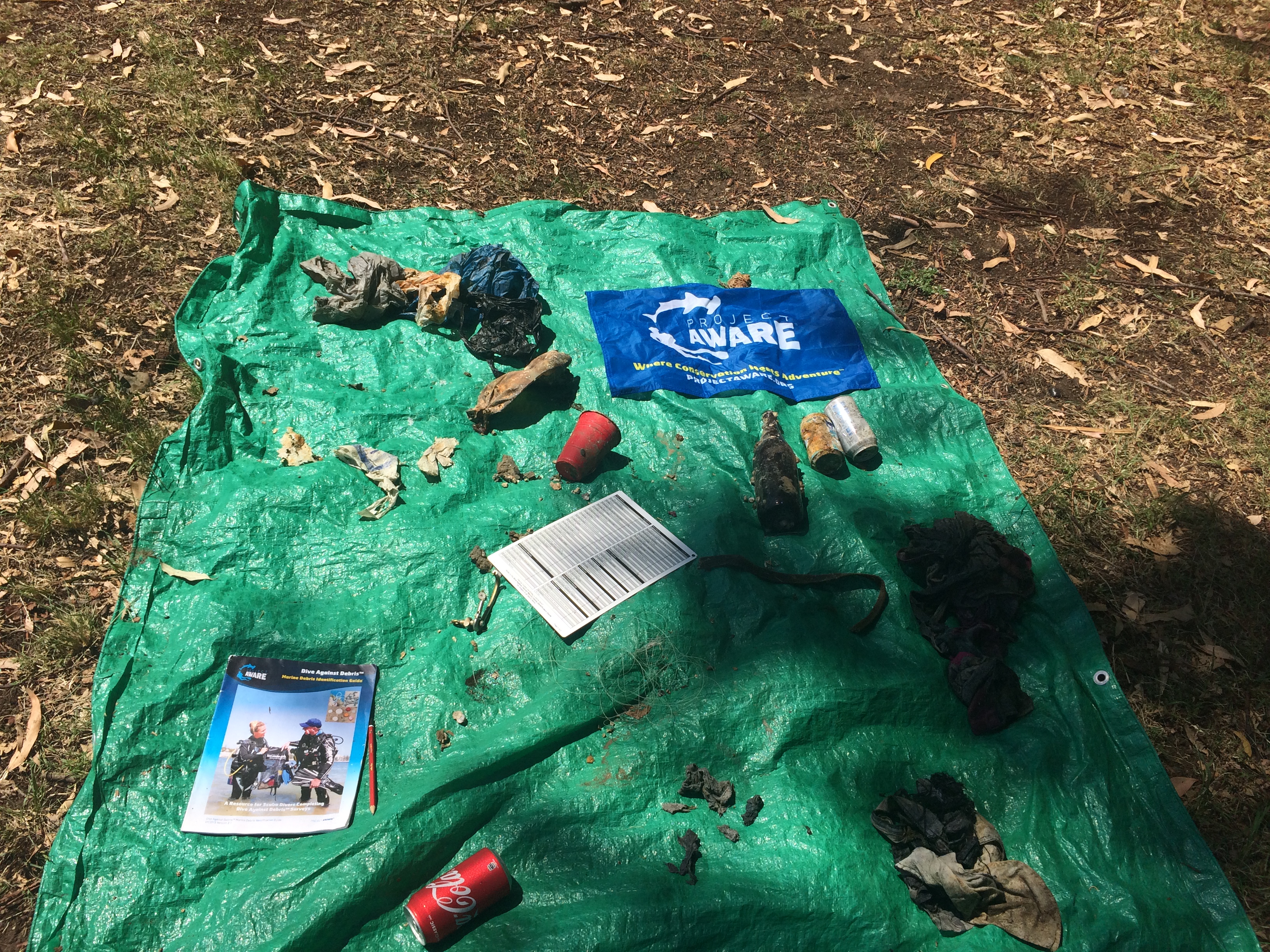
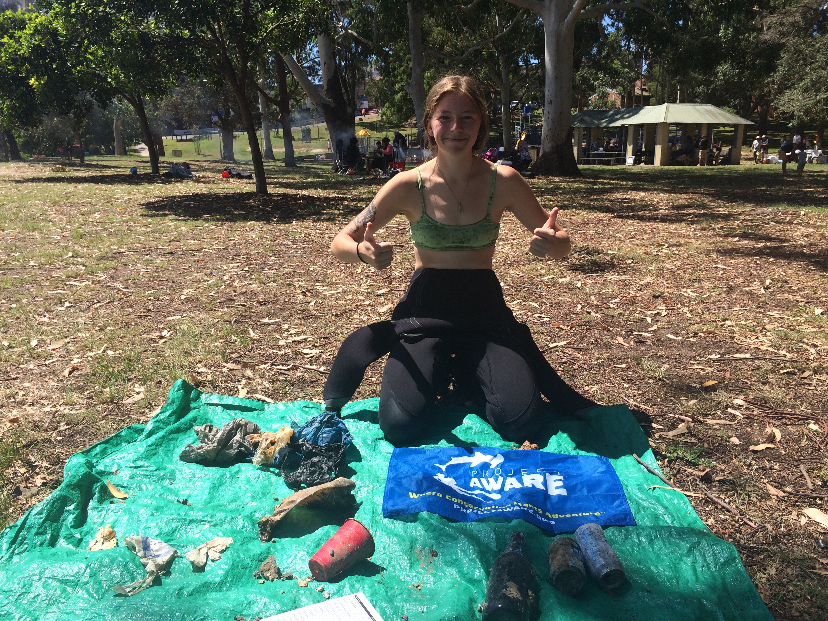
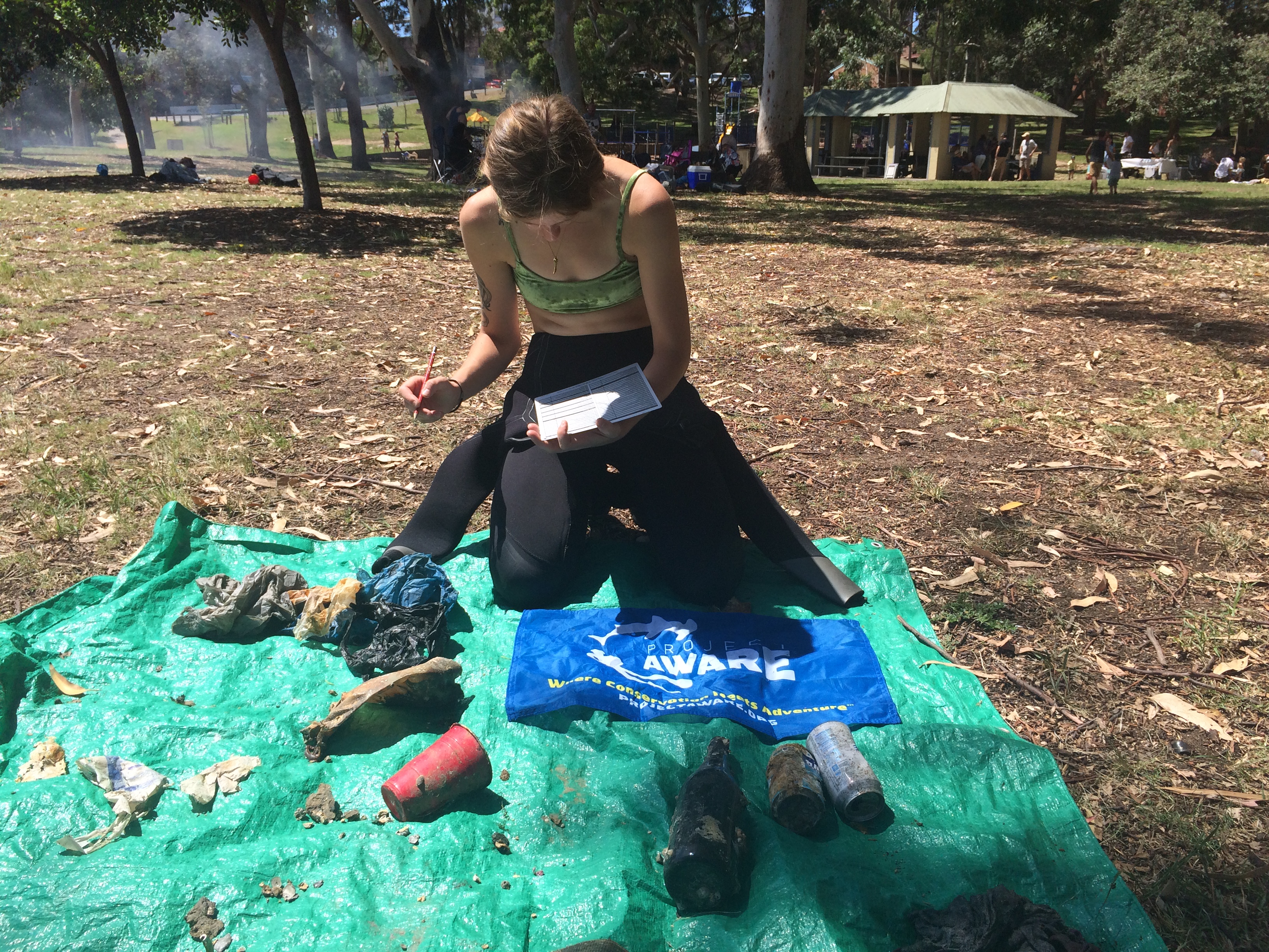
9000.00
On
kilograms
I have debris data to report
6
Slight for waves 0.5 -1.25 meter high
3
9
m2


meters
seagrass
2
1
3
4
City
Bugibba
Map Help
Dive Location
If you know your survey site coordinates, enter them manually in decimal degrees using WGS84 Map Datum. Use the minus sign for latitudes south of the equator and longitudes west of the Prime Meridian to 180 degrees.
If you do not know your survey site coordinates, click the “Map Location” tab to use the map to zoom into your survey site and drop the pin on the map to fall within your survey dive site in the water (not on land or the beach). Ensure you zoom in as much as possible to ensure data accuracy.
Entangled Help