ADS137 - Vouliagmeni Lake Loutraki
8
2
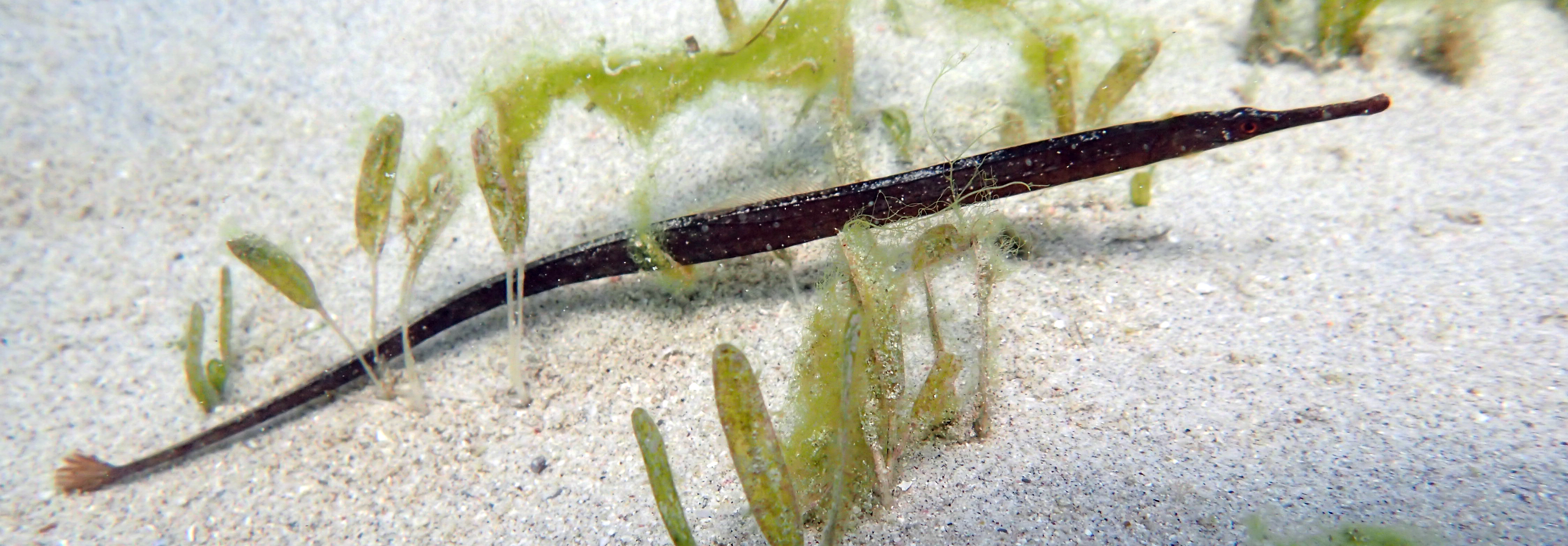
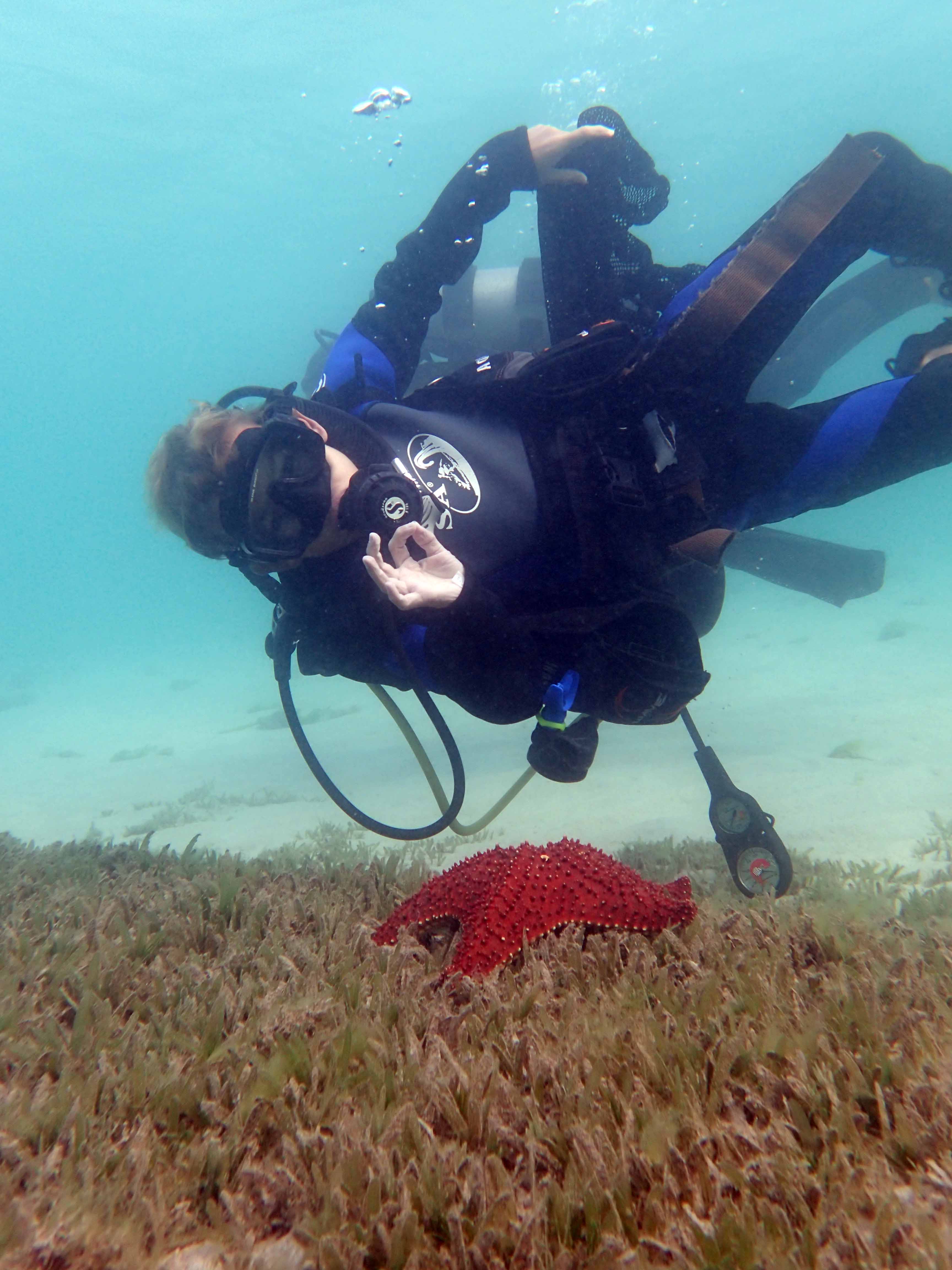
seagrass
6
40
38.03224439053722, 22.87363573908806
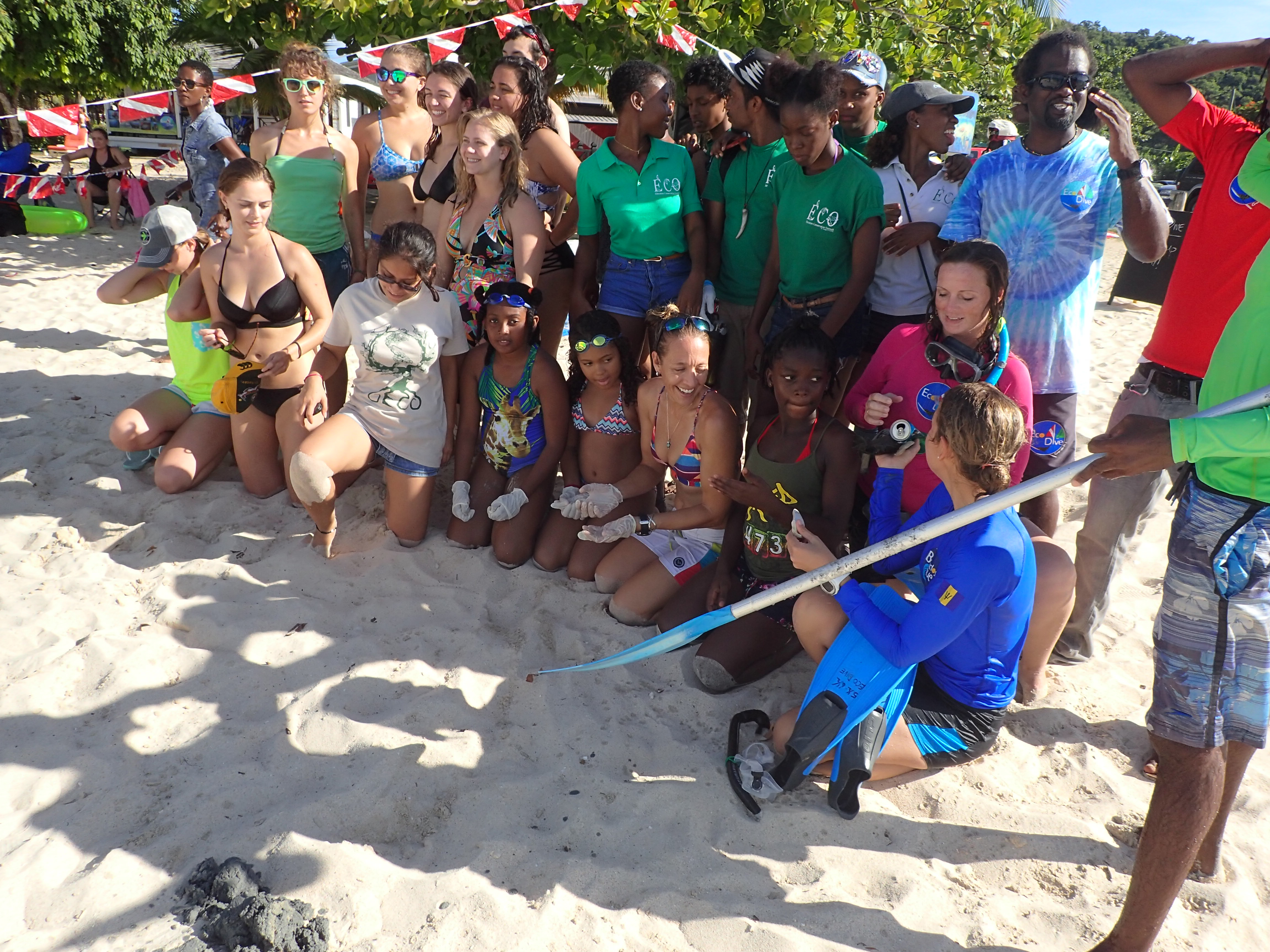
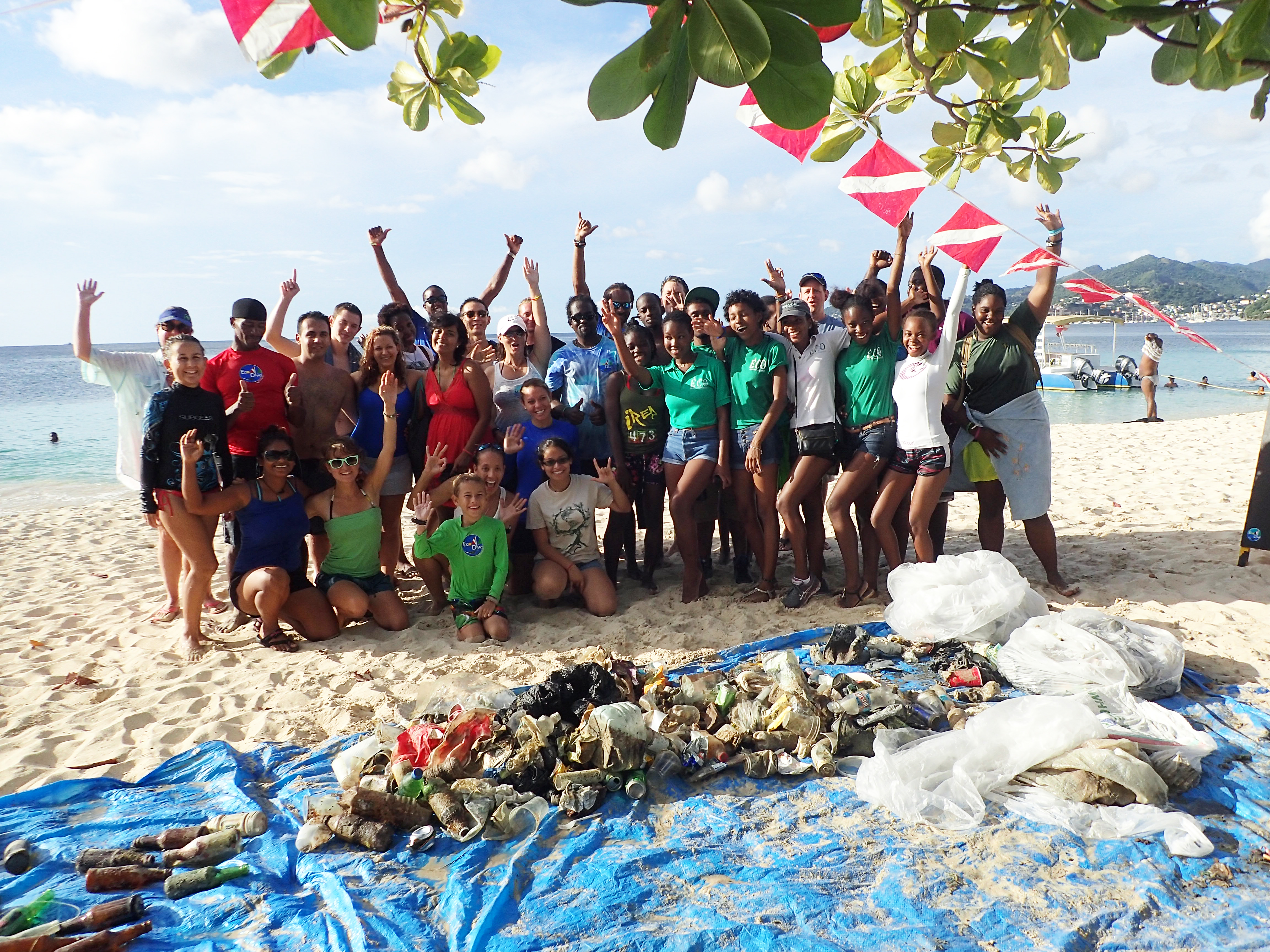
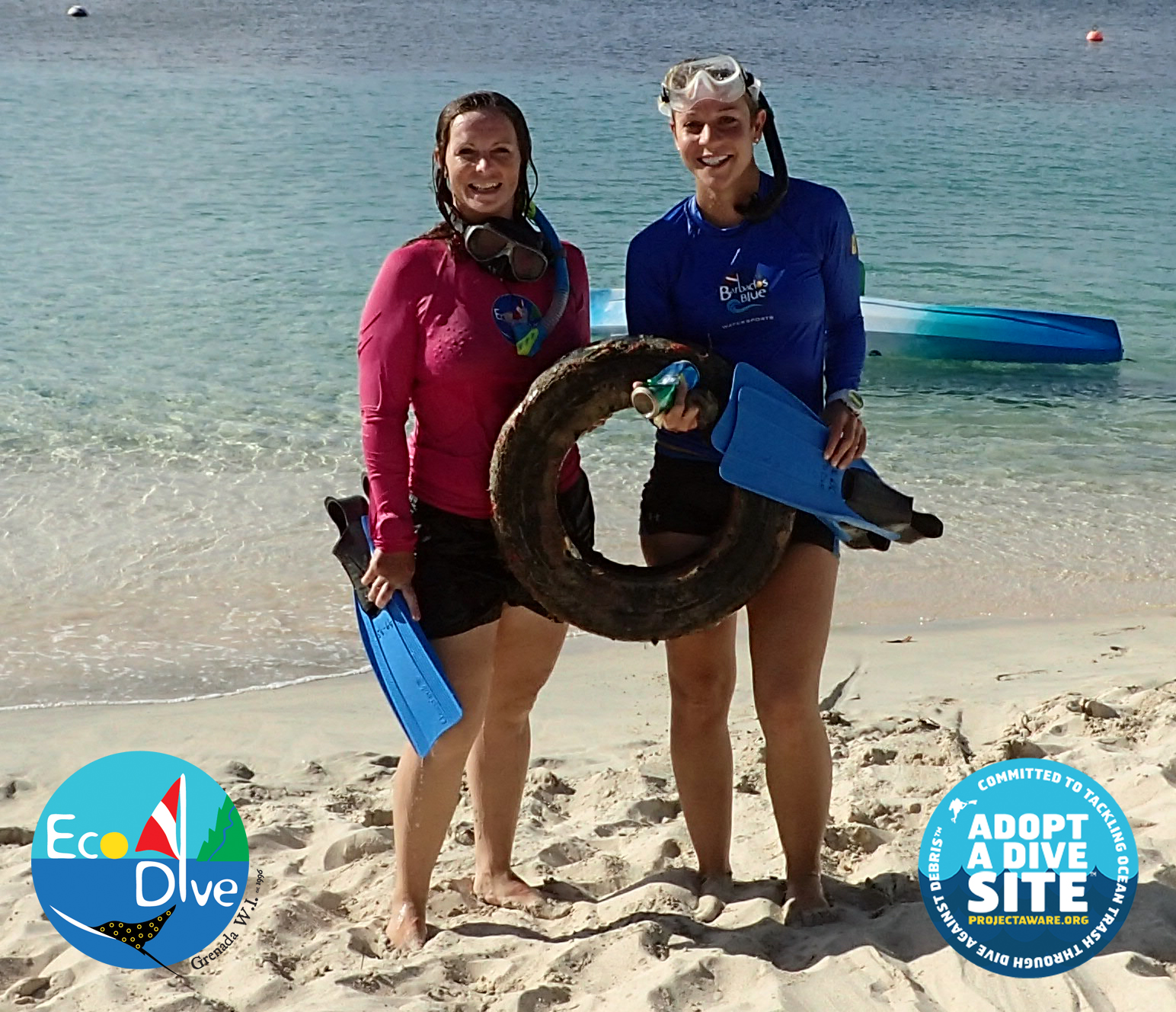
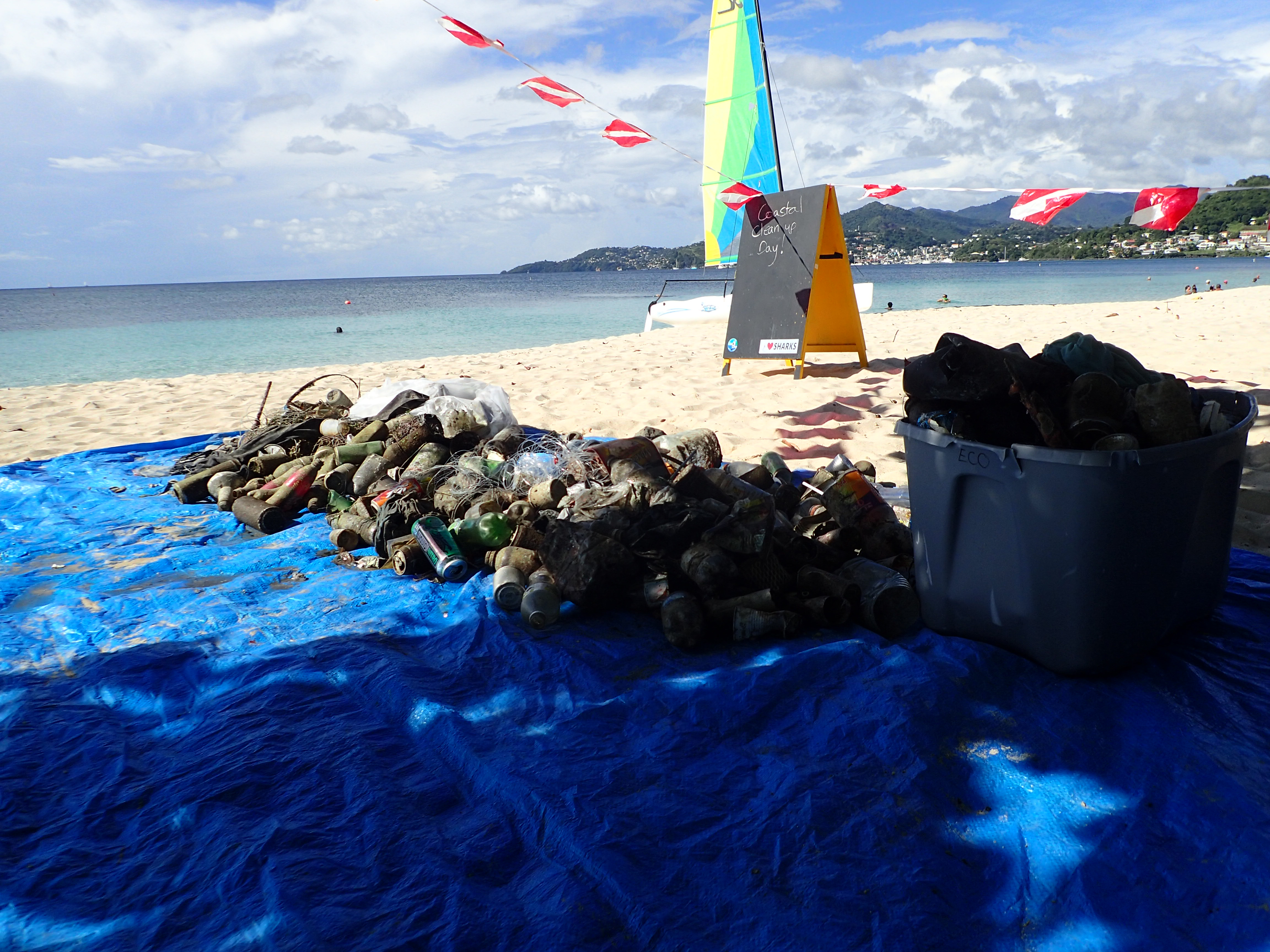
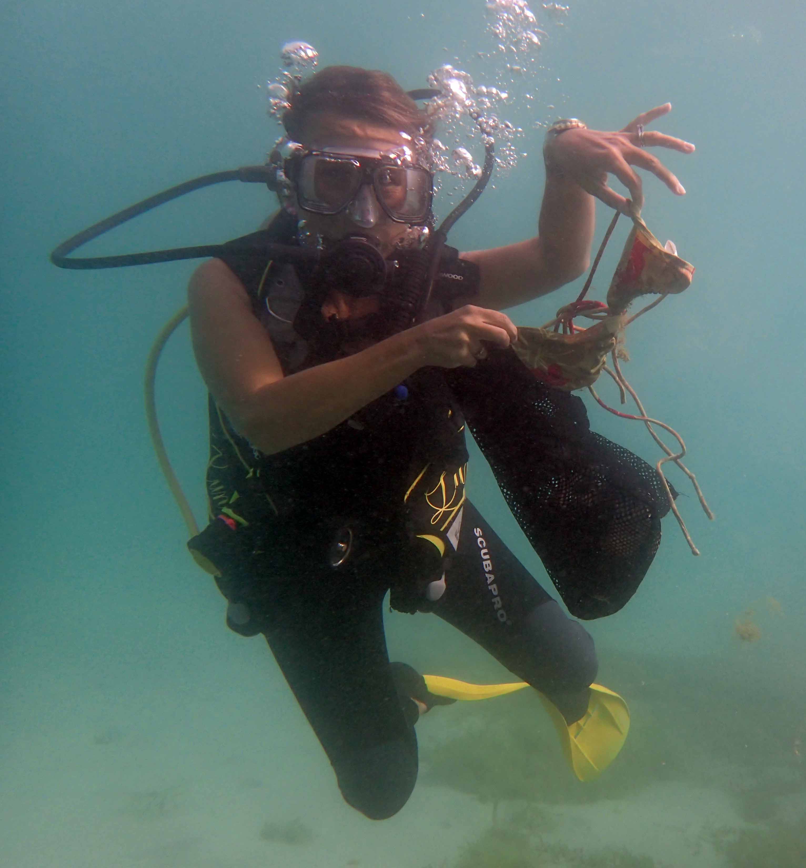
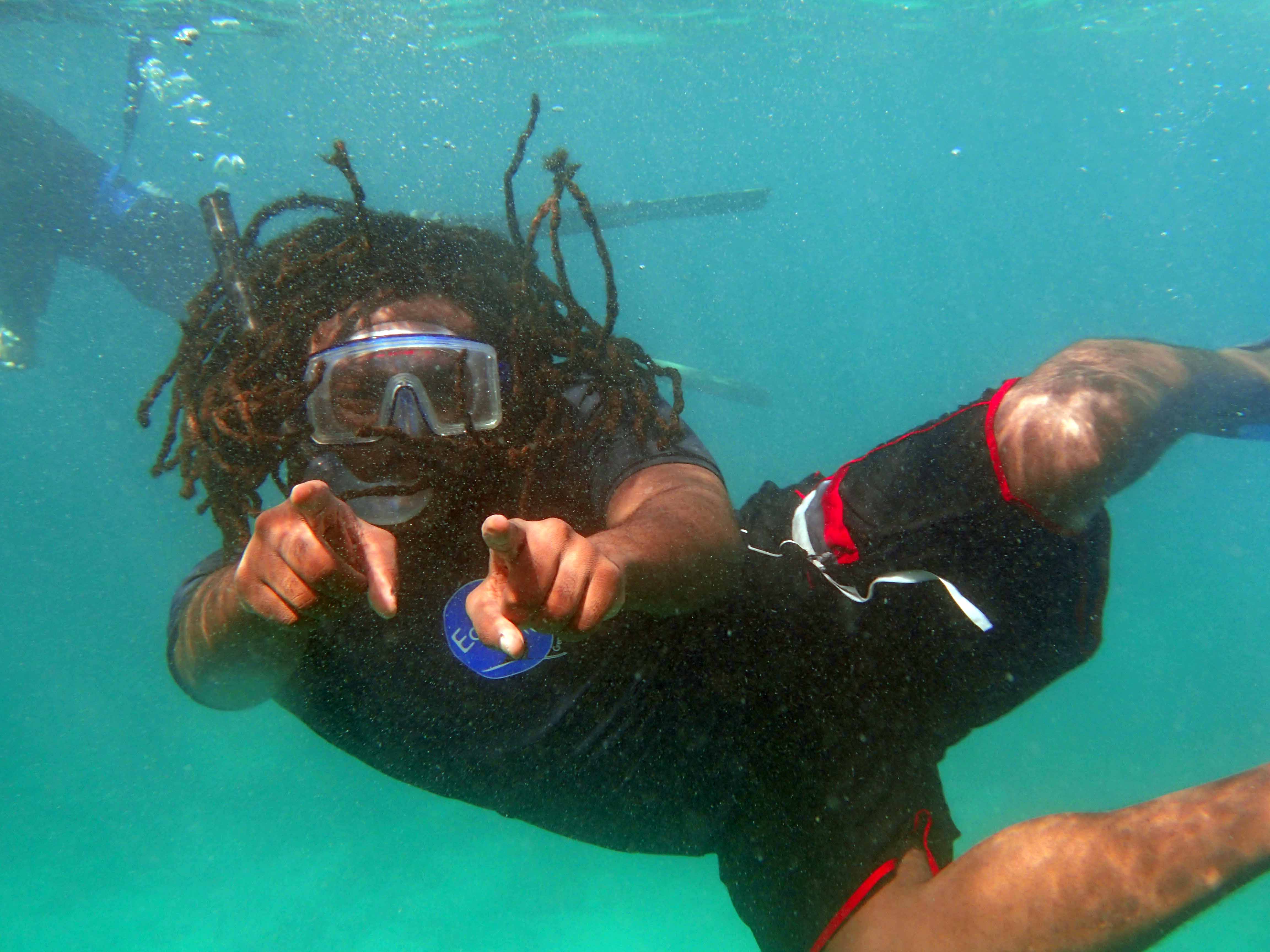
At this action we were 3 divers and 4 land support !
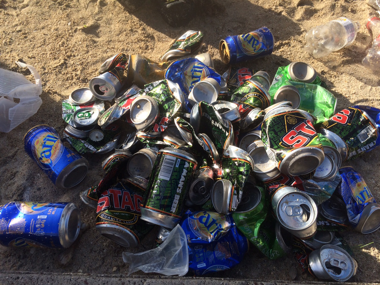
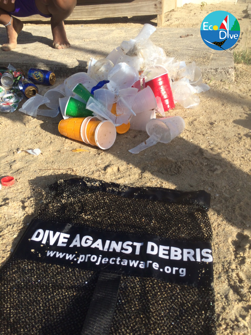
We also have done a beach cleaning! A lot of cigarettes butts, plastic bottles, plastic glasses, grocery bags etc where removed from the beach!
We also have done a beach cleaning! A lot of cigarettes butts, plastic bottles, plastic glasses, grocery bags etc where removed from the beach!
Loutraki Dive Club - Vouliagmeni Lake Loutraki 18/9/2016
very good at the place (bit windy)
1
2
1
1
1
1
4
1
1
1
1
1
6
ENGINE BELT
insole
Plastic Shaving Razor
Boot
Porcelain Fuse
aluminum RAIL
sole
Inflatable Boat Foot Pump
boat piece
light fixtures
navigation lamp
garden hose
rubber pieces
Loutraki Dive Club
Nikos_Ba
13
8
2
6
8
3
33
1
43.00
51
9.00
1.50
measured
1
2
1606.00
3
6
On
kilograms
I have debris data to report
29
Calm (glassy to rippled) for waves 0 – 0.1 meter high
glasses , bottles
Released Unharmed
seahorse
CRABs + SHELL hermits
Released Unharmed
30
1
pot
7
m2


12
1
aluminium can
crayfish
Released Unharmed
meters
seagrass
7
6
128
4
1
5
9
9
City
Loutraki
Map Help
Dive Location
If you know your survey site coordinates, enter them manually in decimal degrees using WGS84 Map Datum. Use the minus sign for latitudes south of the equator and longitudes west of the Prime Meridian to 180 degrees.
If you do not know your survey site coordinates, click the “Map Location” tab to use the map to zoom into your survey site and drop the pin on the map to fall within your survey dive site in the water (not on land or the beach). Ensure you zoom in as much as possible to ensure data accuracy.
Entangled Help