Dog's Point
10
1
sand
1
1
-8.710054449920428, 115.26898249983788
Galungan festival
Photo included of coral tags
Coral tags
Bit windy
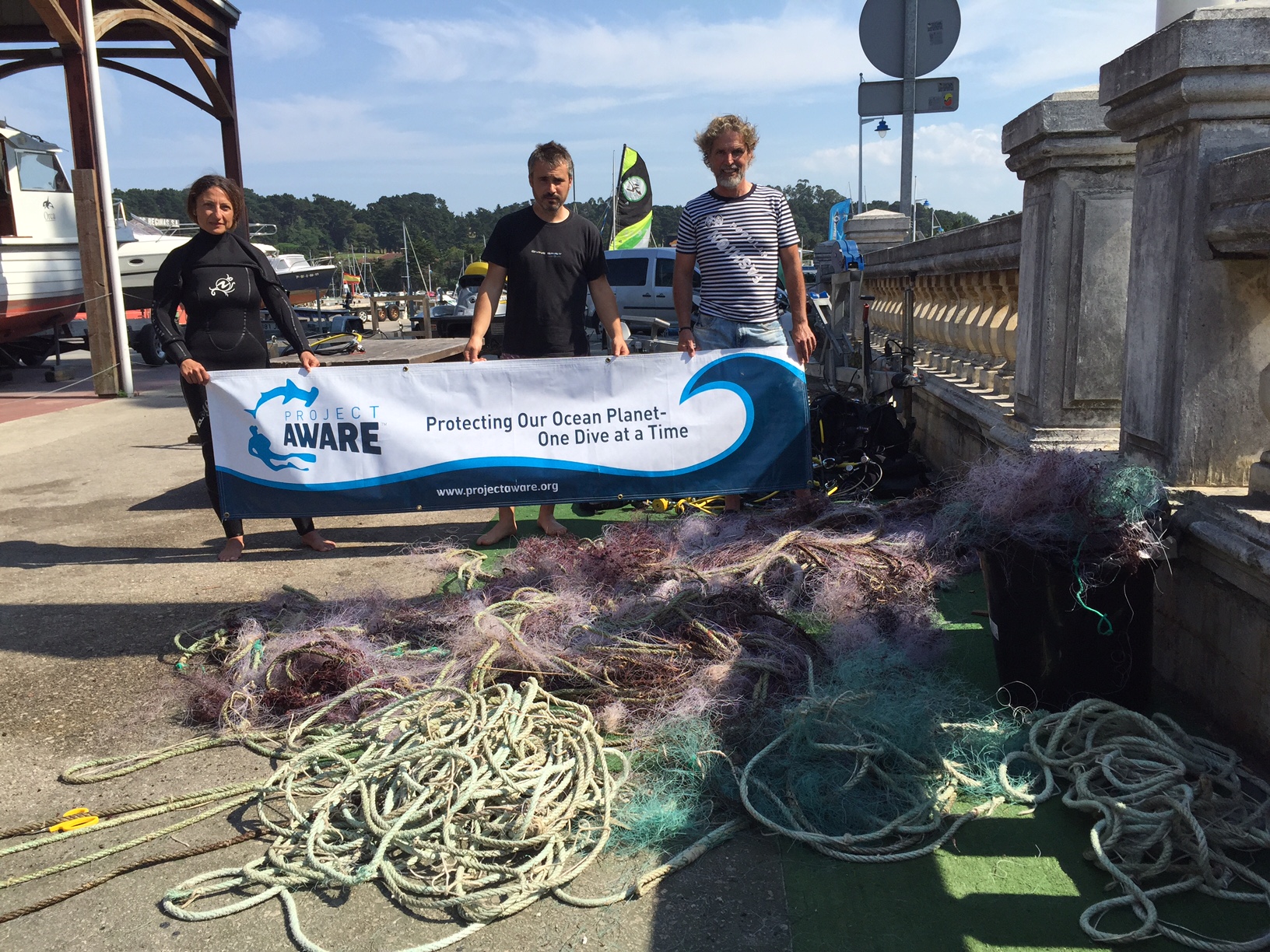
Blue Season Bali
Richard Reardon
1
5
1
2
1
1
1.40
38
8.10
5.00
estimated
30.00
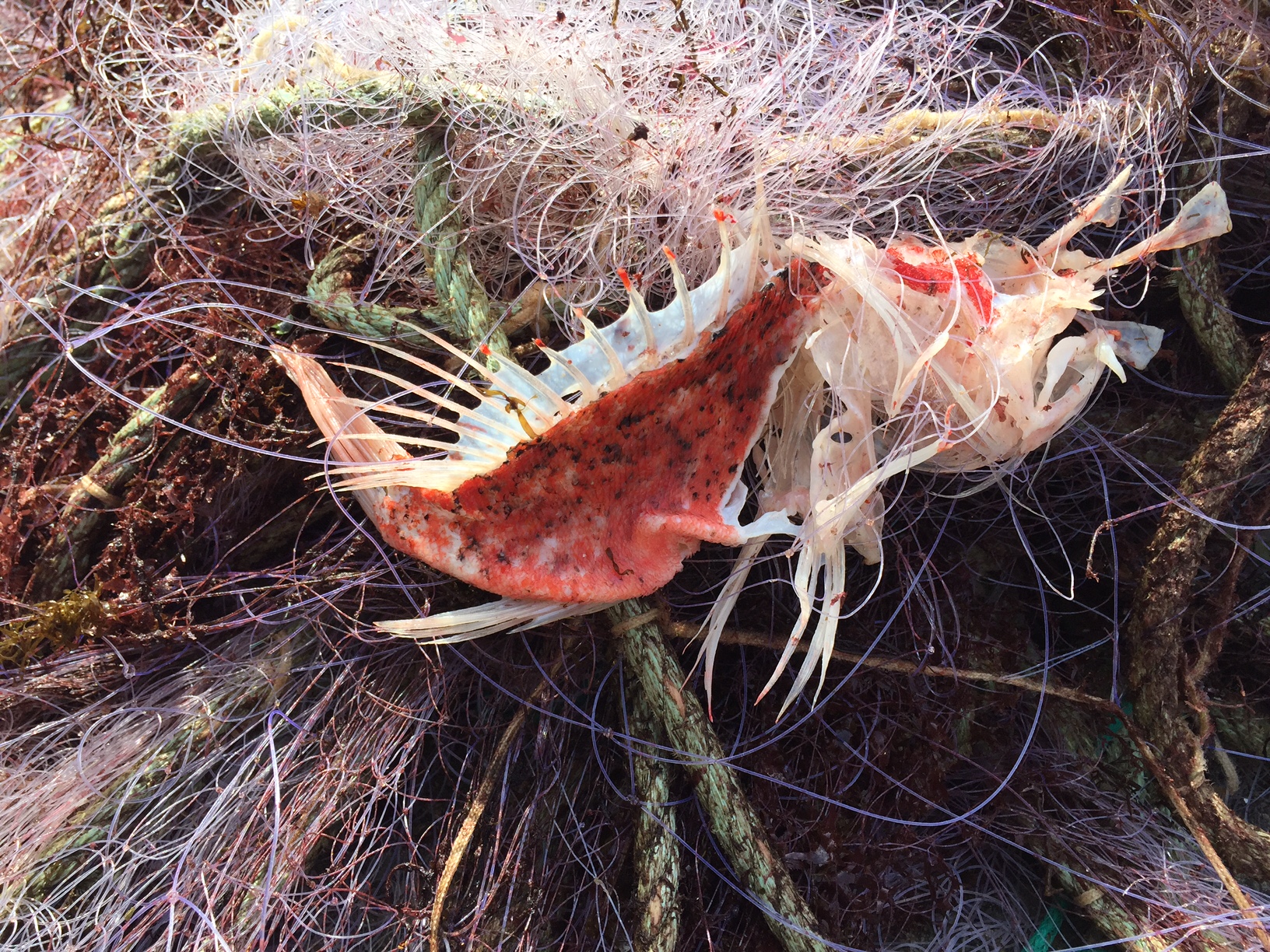
Plastic fragments
On
kilograms
I have debris data to report
Slight for waves 0.5 -1.25 meter high
Burlap bag
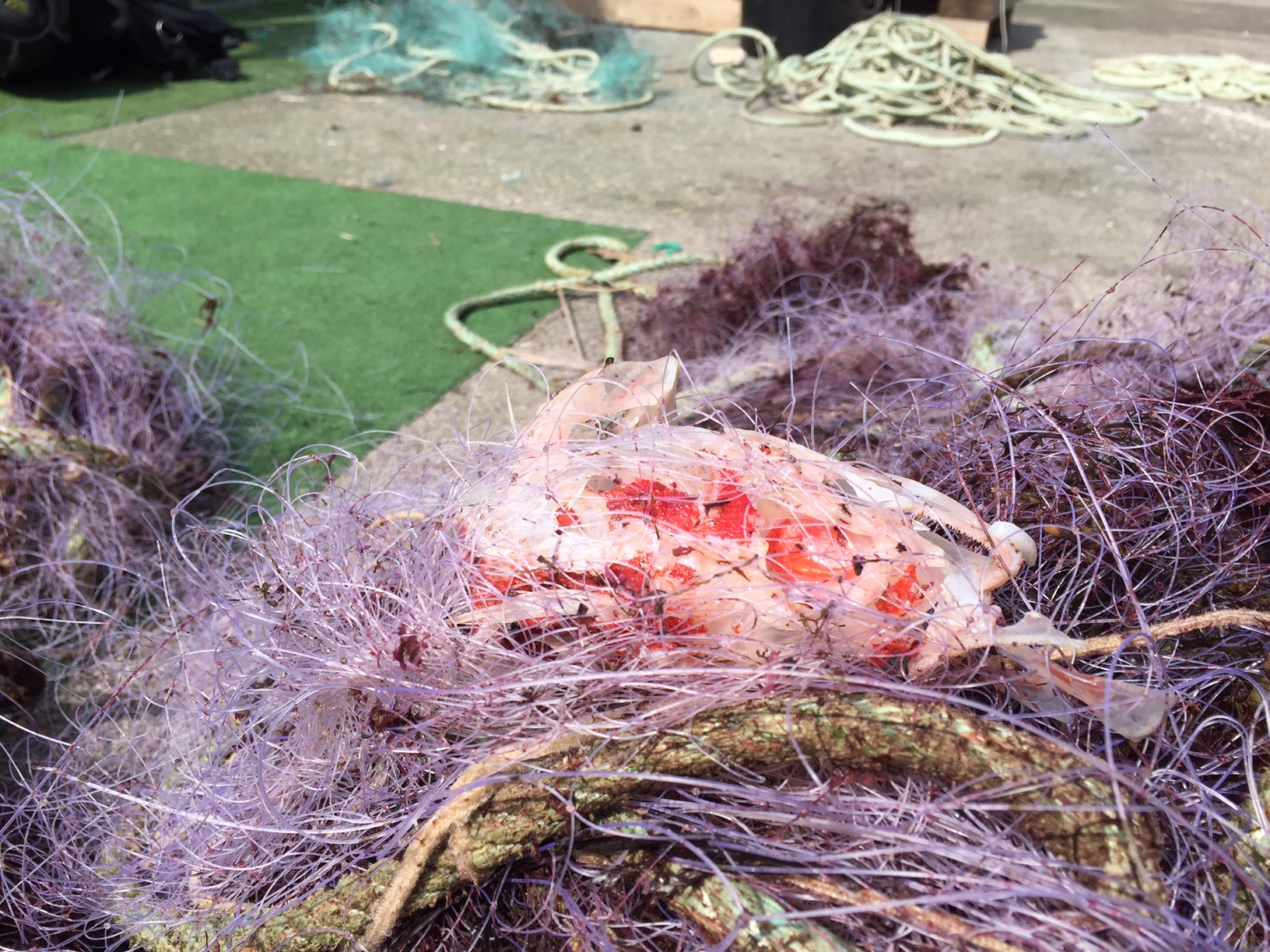
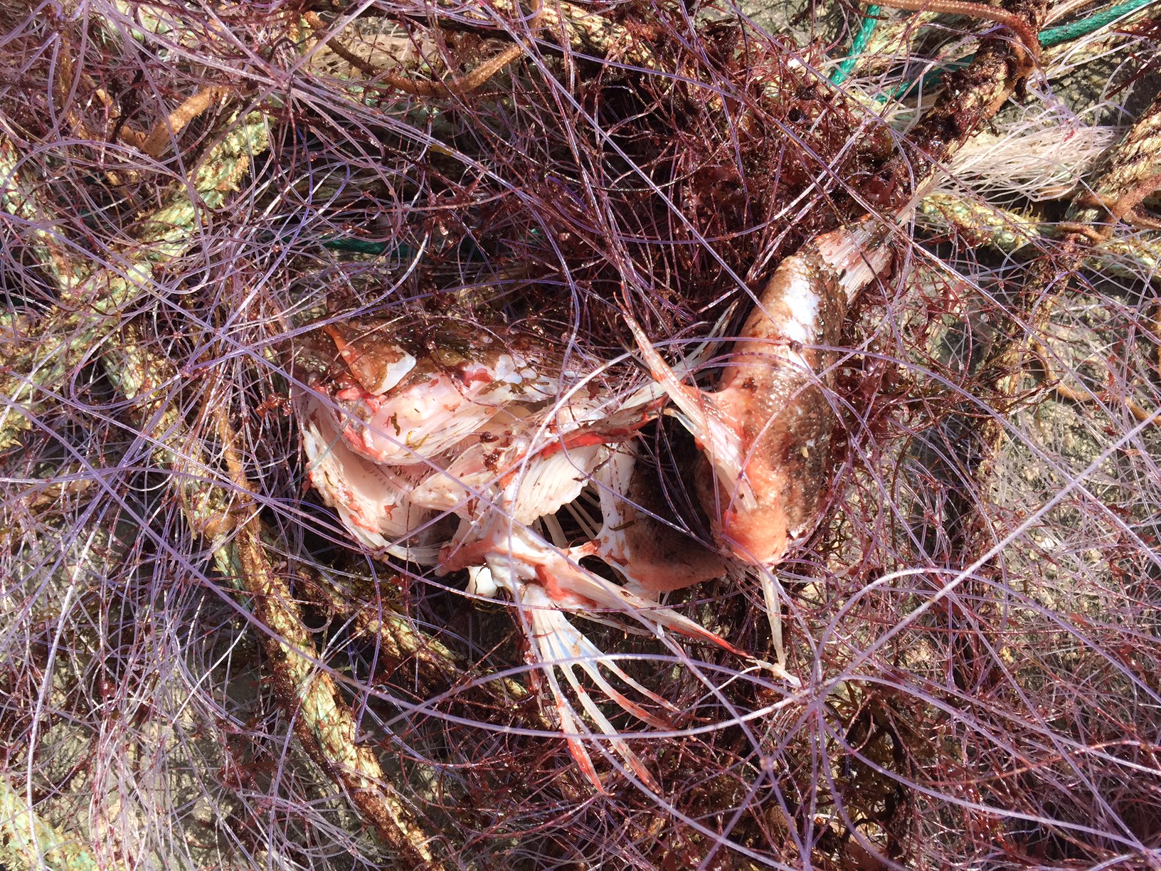
Crab
Released Unharmed
1
1
m2

3
meters
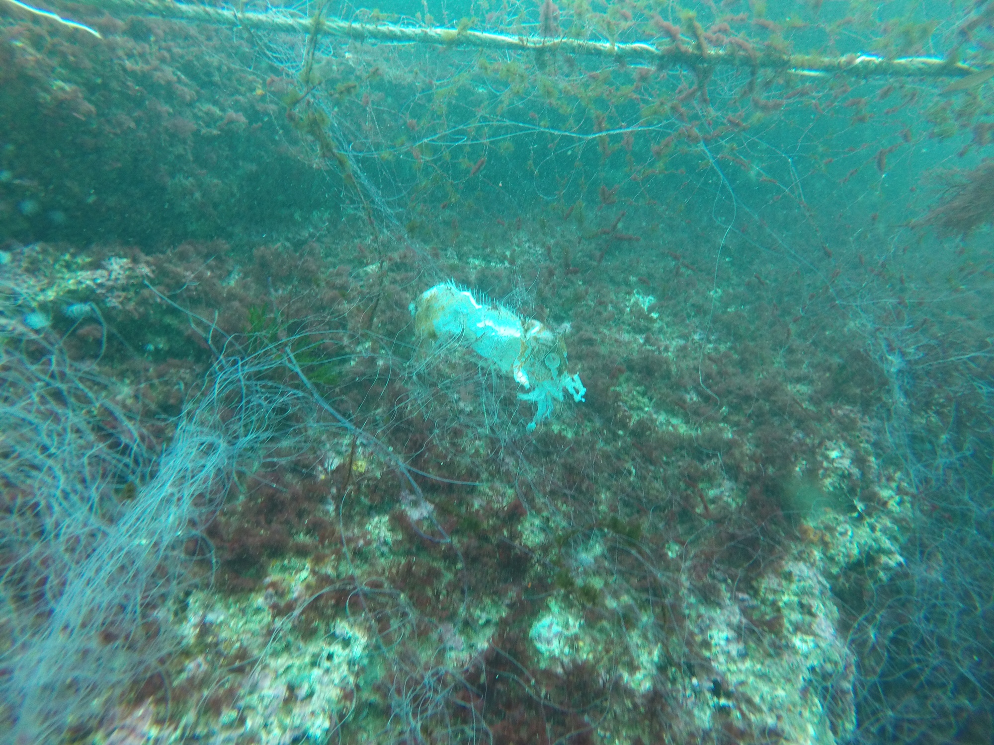
coral reef
10
State\Province
Bali
City
Sanur
Map Help
Dive Location
If you know your survey site coordinates, enter them manually in decimal degrees using WGS84 Map Datum. Use the minus sign for latitudes south of the equator and longitudes west of the Prime Meridian to 180 degrees.
If you do not know your survey site coordinates, click the “Map Location” tab to use the map to zoom into your survey site and drop the pin on the map to fall within your survey dive site in the water (not on land or the beach). Ensure you zoom in as much as possible to ensure data accuracy.
Entangled Help