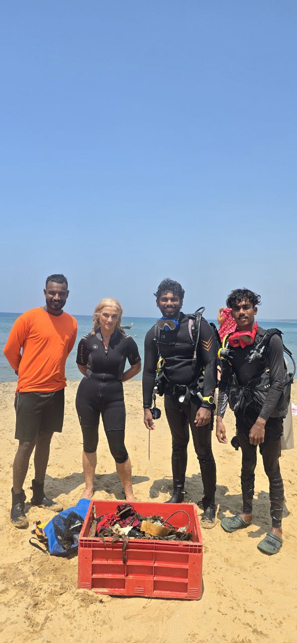
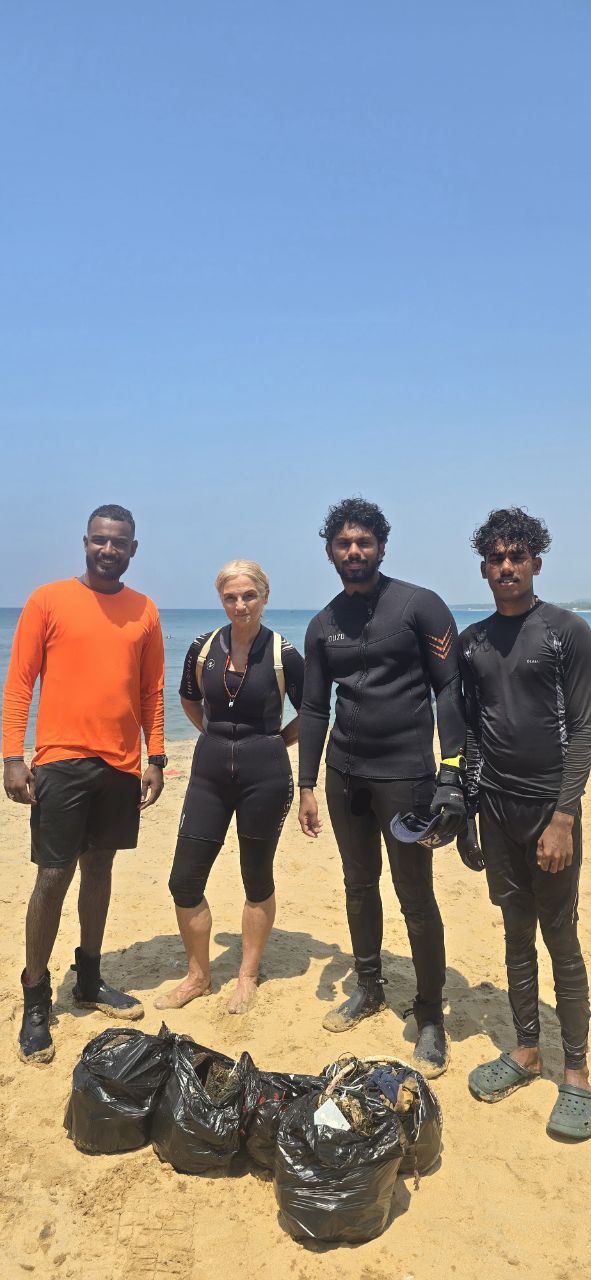
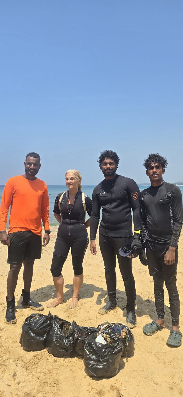
Grove beach, Kovalam, Trivandrum
10
2
8.395965, 76.972741
3
sand
2
3
8.3959362174836, 76.973036527634
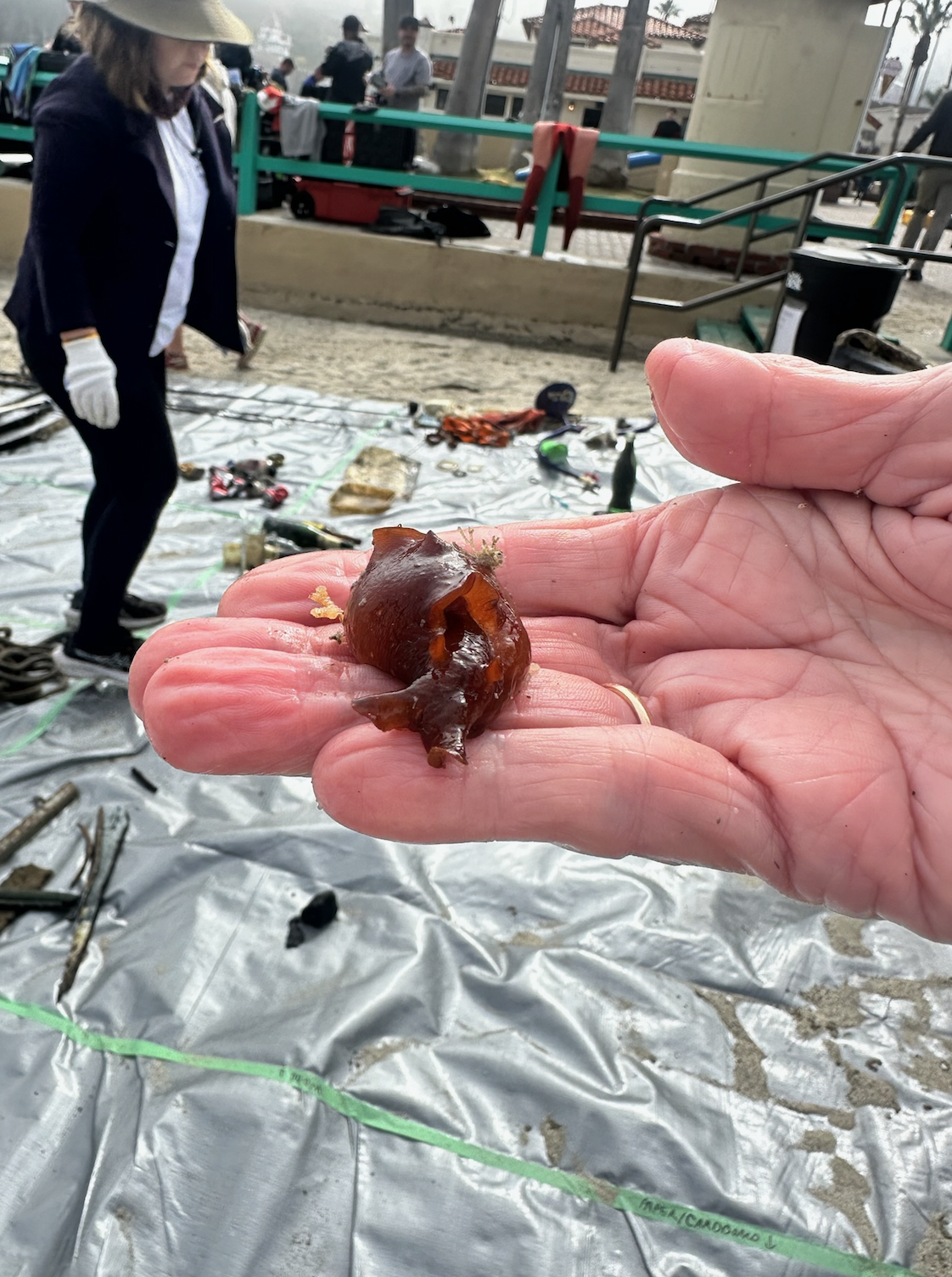
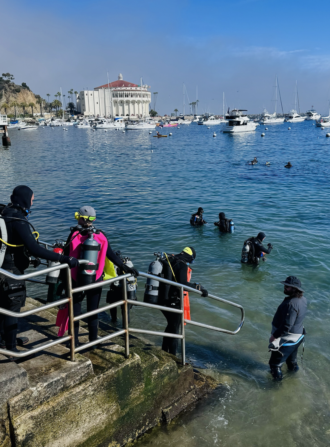
one puffer fish was entangles in a fishing net. it was released unharmed
Sunny, Humid, 30 degree celsius
3
shoes
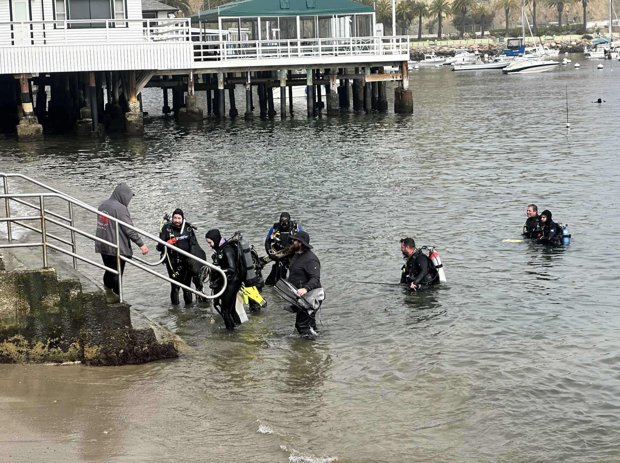
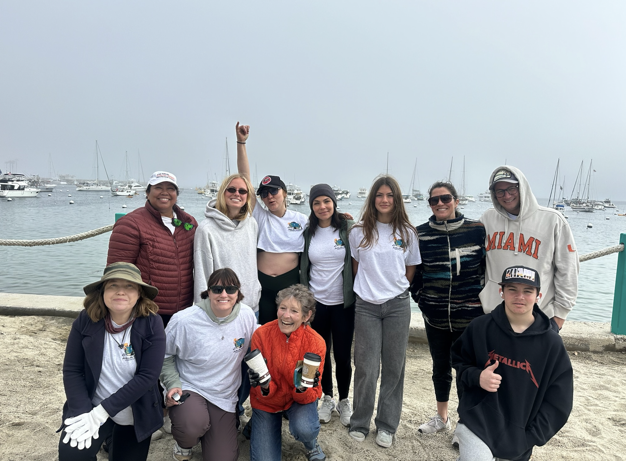
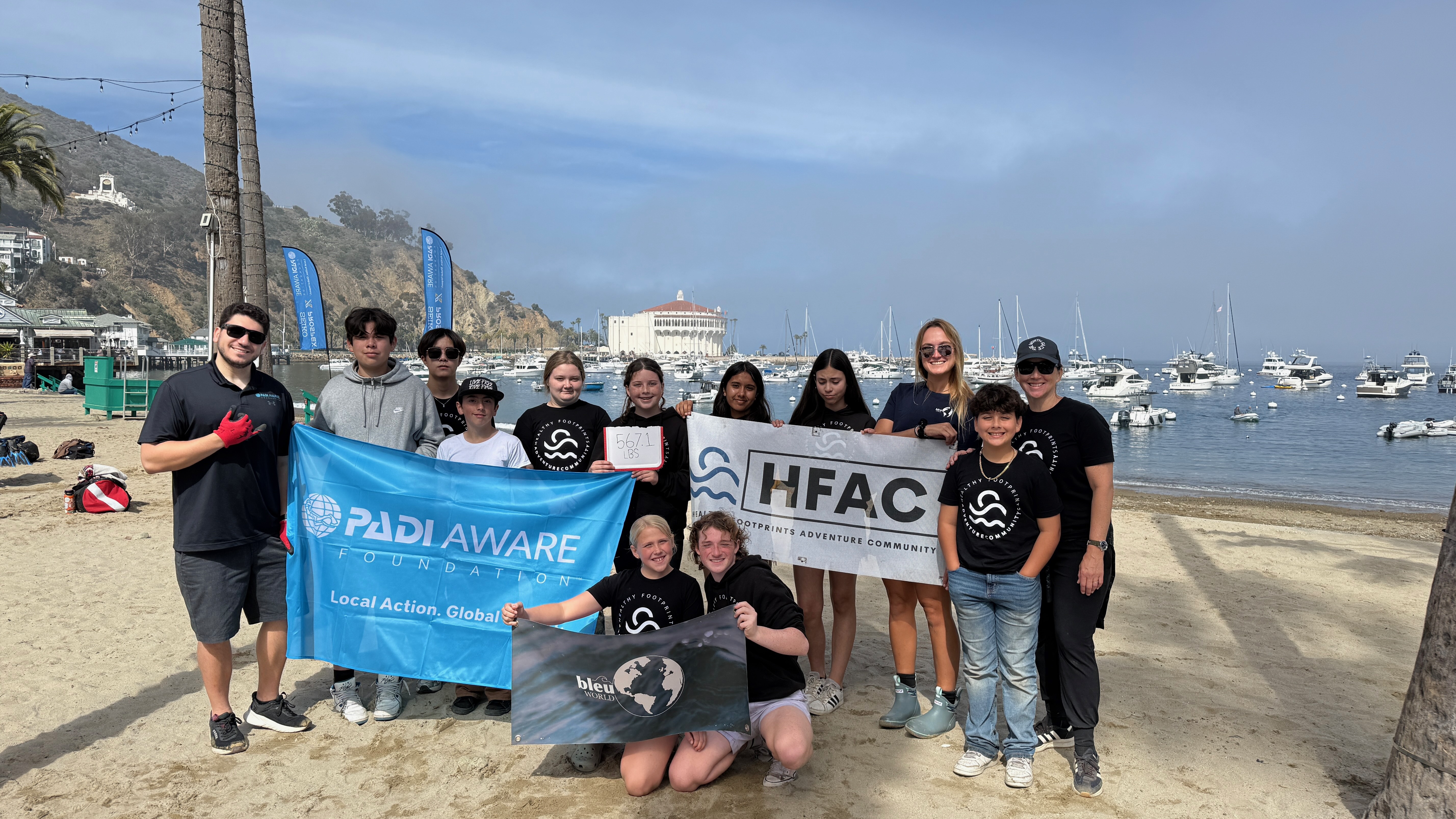
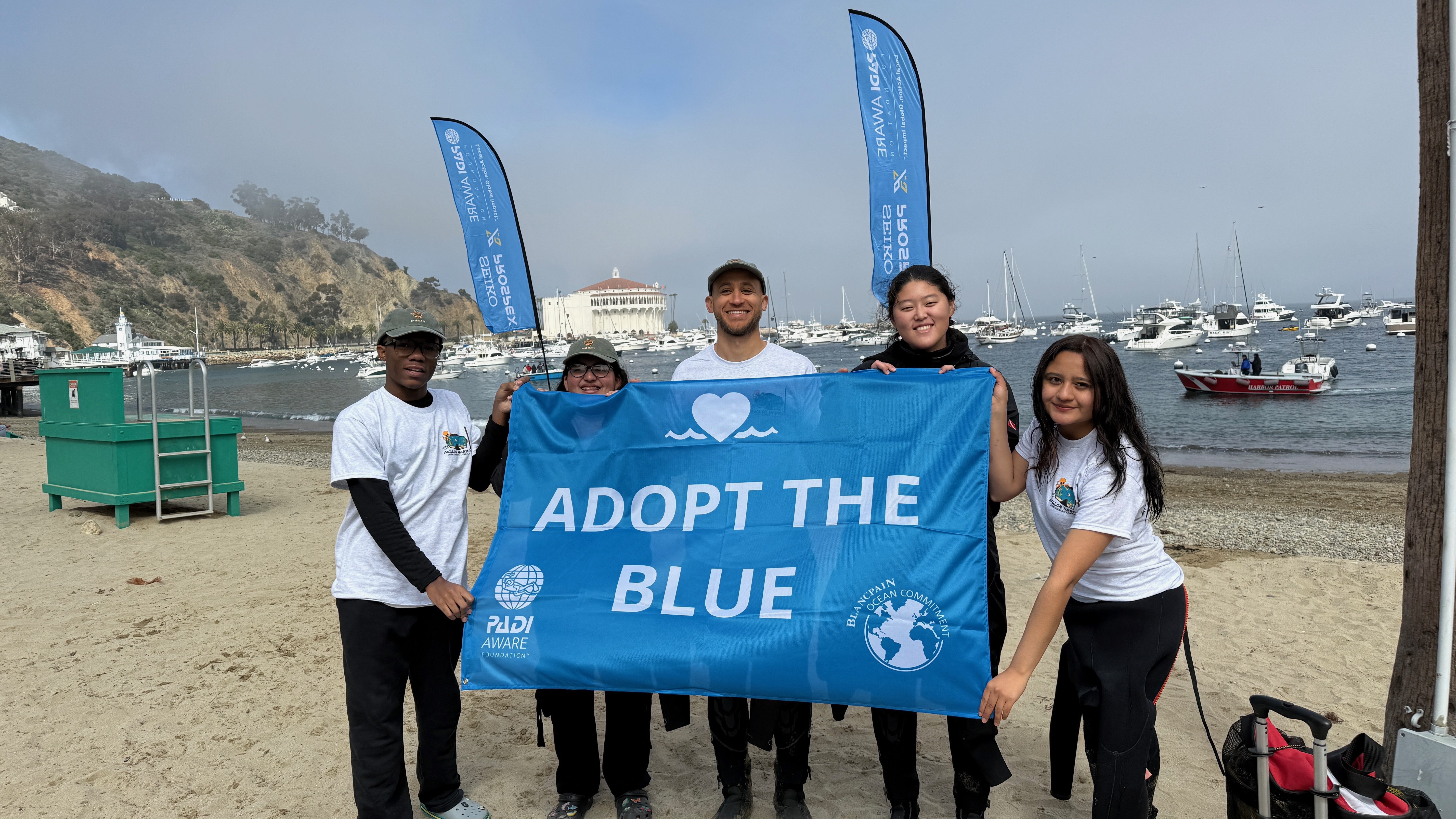
Oceanaut Adventures
Krishna Dev I
2
5
1
1
1
4
4
3
0
1
3
10.00
50
10.00
3.00
estimated
4
3
100.00
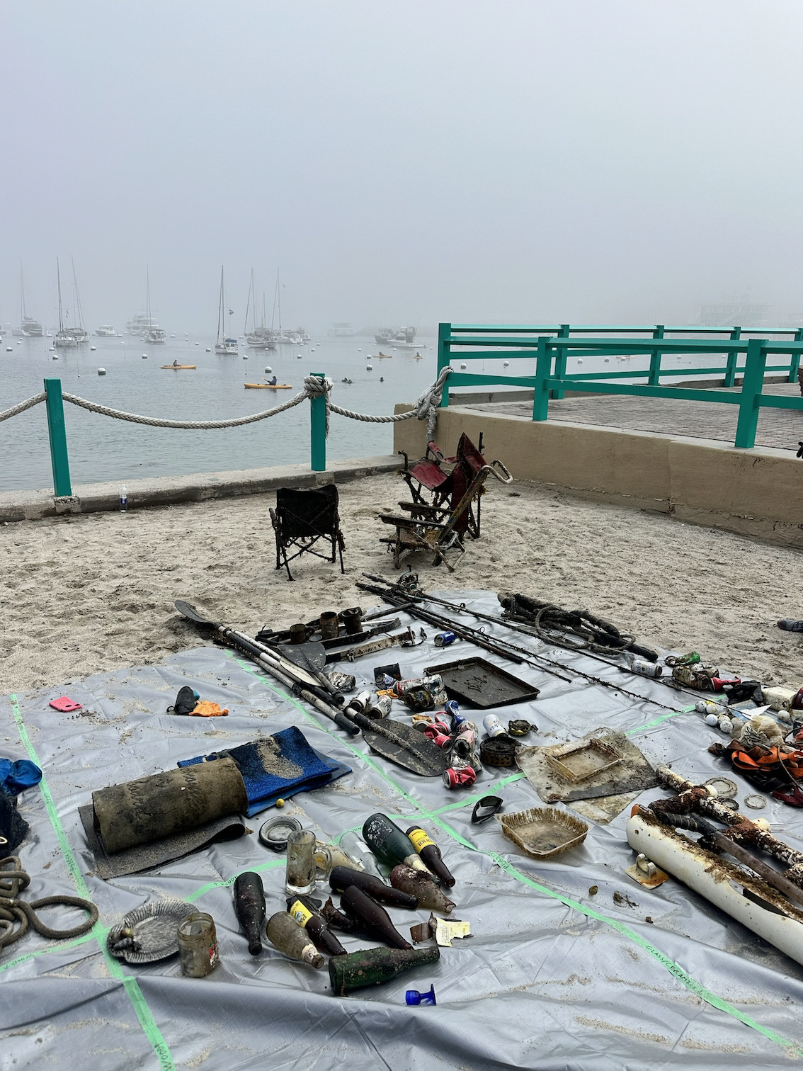
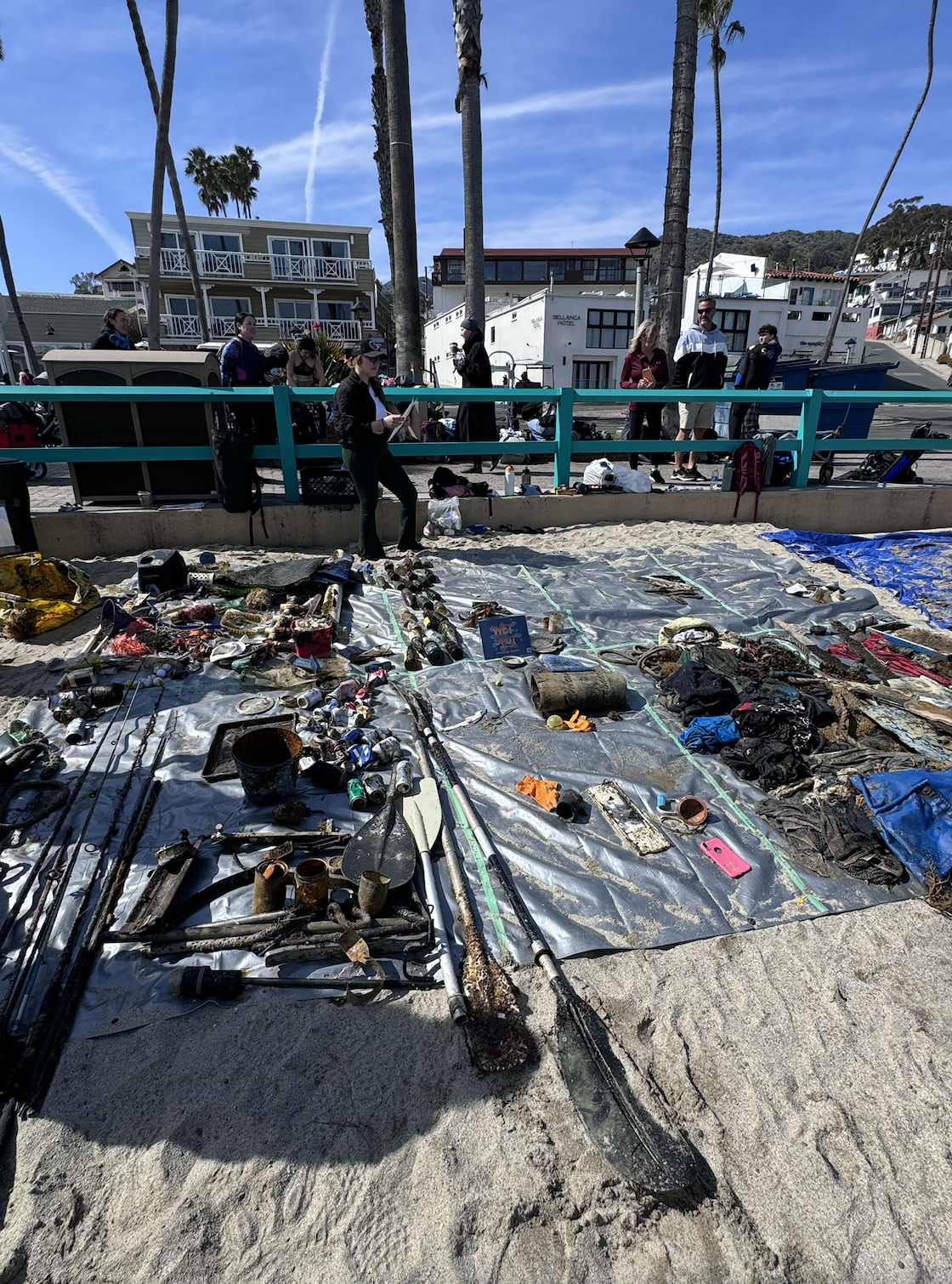
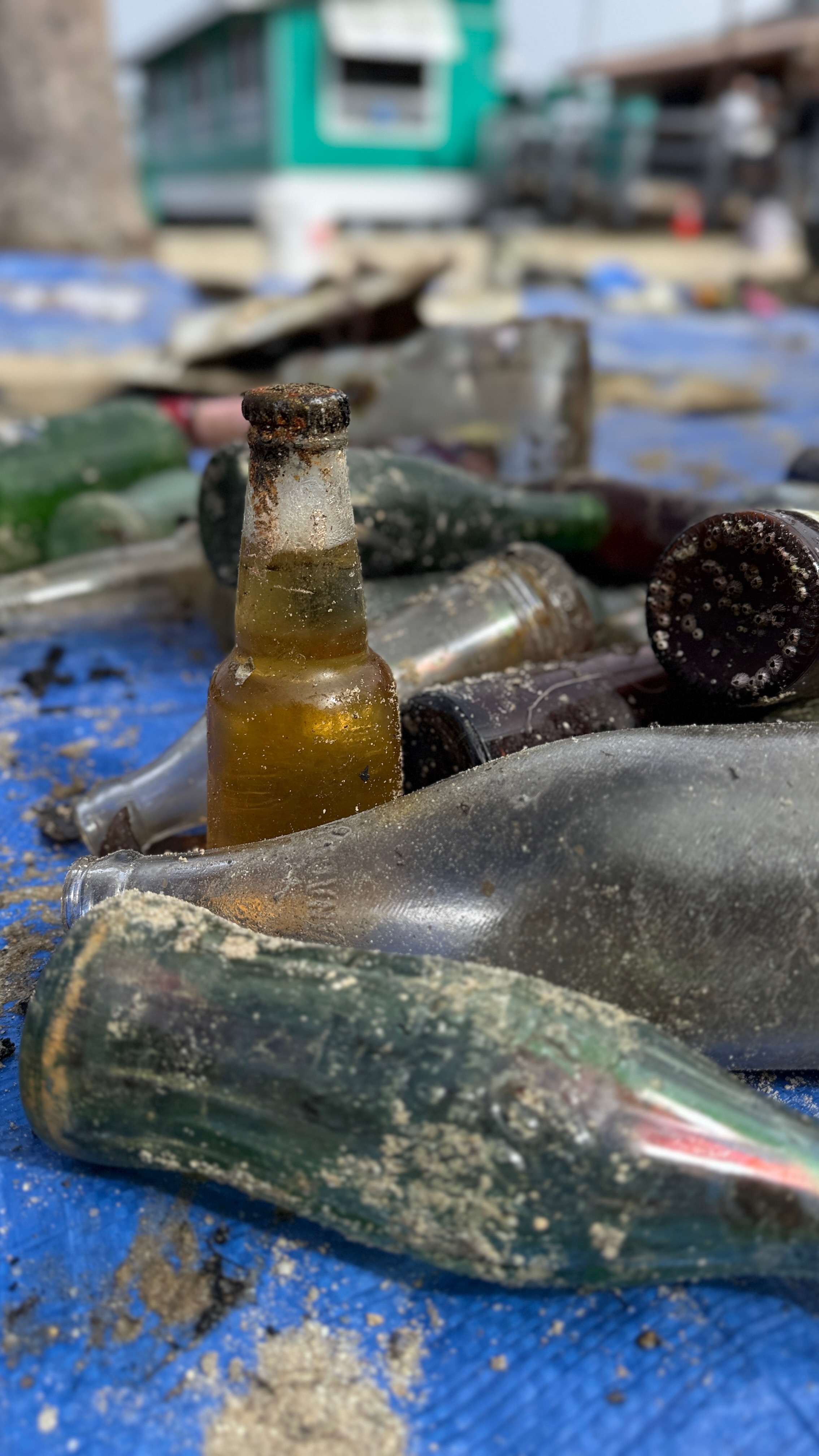
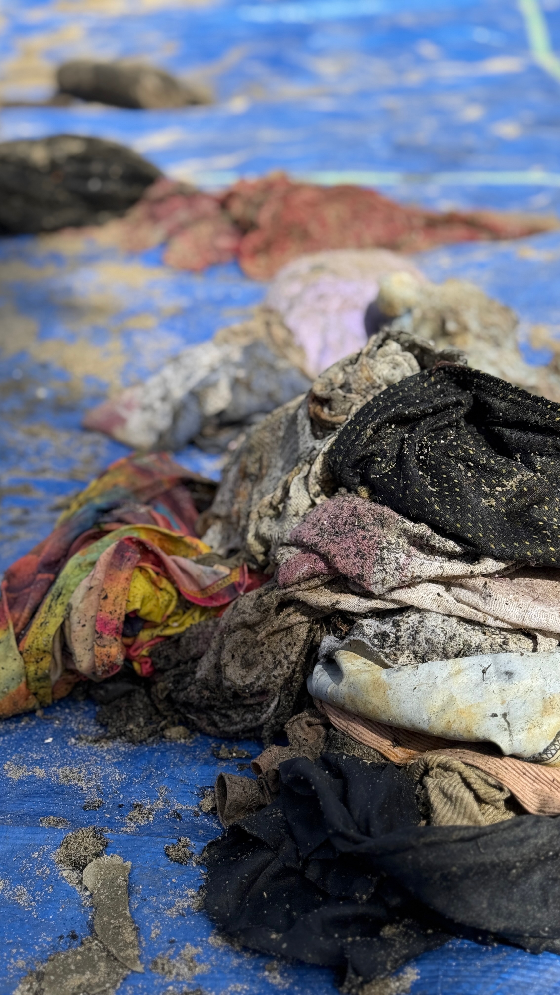
clothe materiels
sewer waste
plastic
On
kilograms
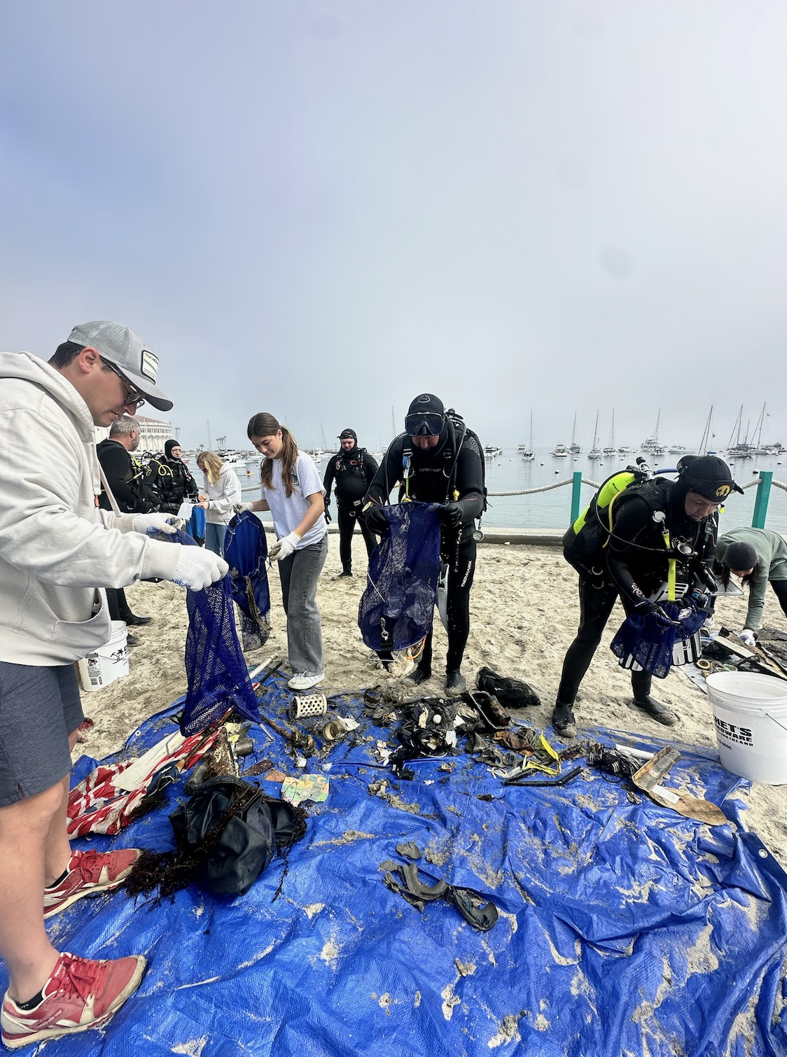
I have debris data to report
2
Smooth (wavelets) for waves 0.1 - 0.5 meter high
Released Unharmed
Puffer fish
1
puffer fish
0
Released Unharmed
2
20
2
m2
9
meters
rocky reef
1
6
1
2
State\Province
KERALA
City
Trivandrum
Map Help
Dive Location
If you know your survey site coordinates, enter them manually in decimal degrees using WGS84 Map Datum. Use the minus sign for latitudes south of the equator and longitudes west of the Prime Meridian to 180 degrees.
If you do not know your survey site coordinates, click the “Map Location” tab to use the map to zoom into your survey site and drop the pin on the map to fall within your survey dive site in the water (not on land or the beach). Ensure you zoom in as much as possible to ensure data accuracy.
Entangled Help