El Cantil
17
52
20.503878527131, -86.958972326959
37
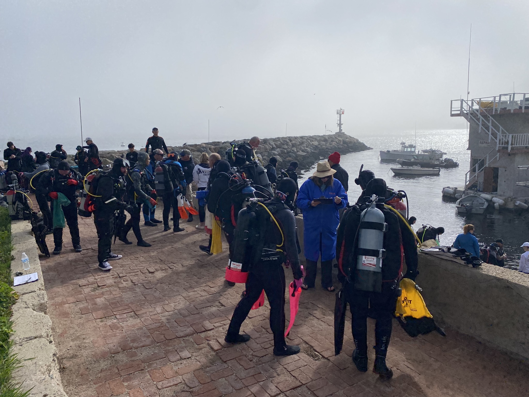
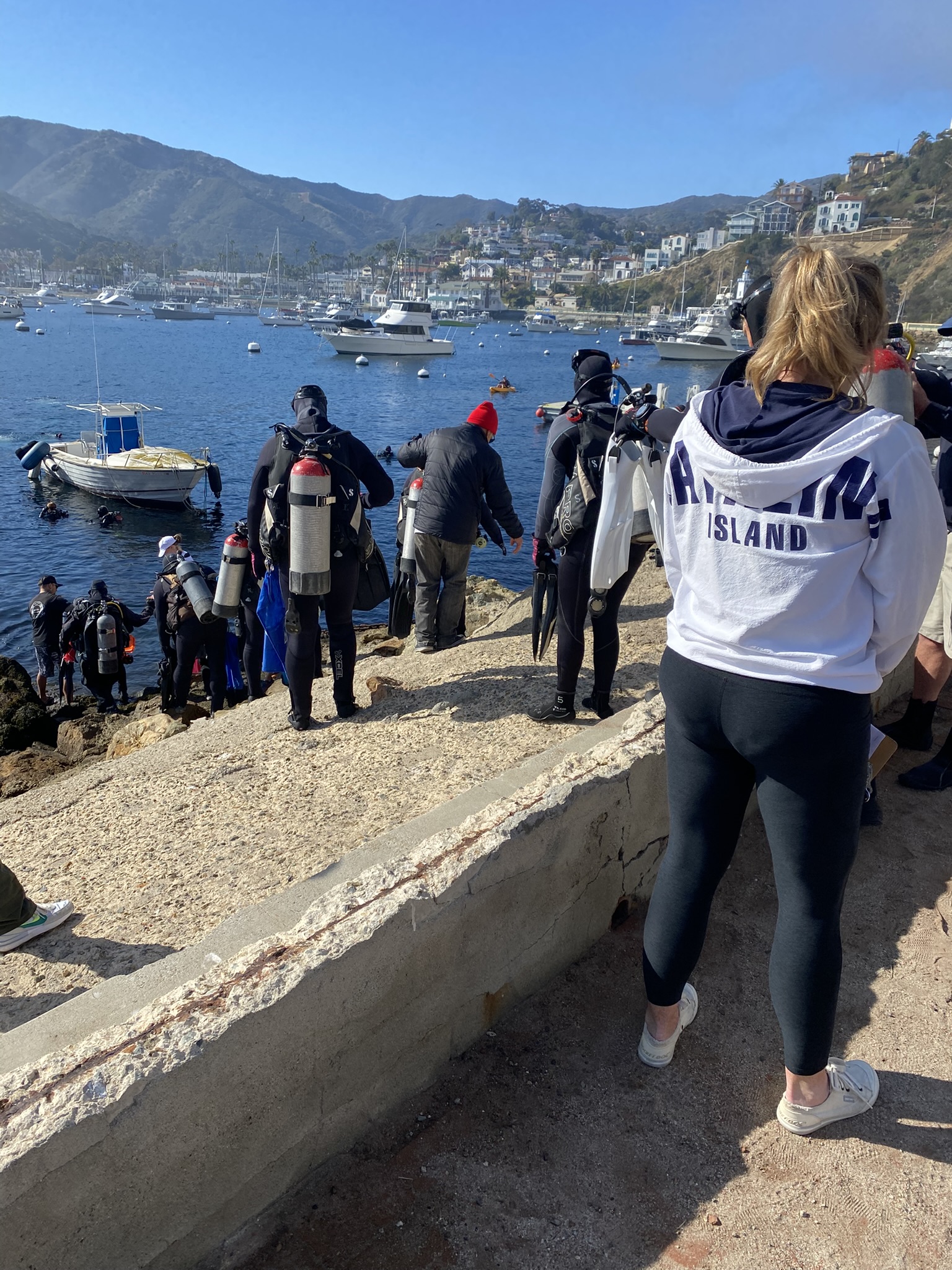
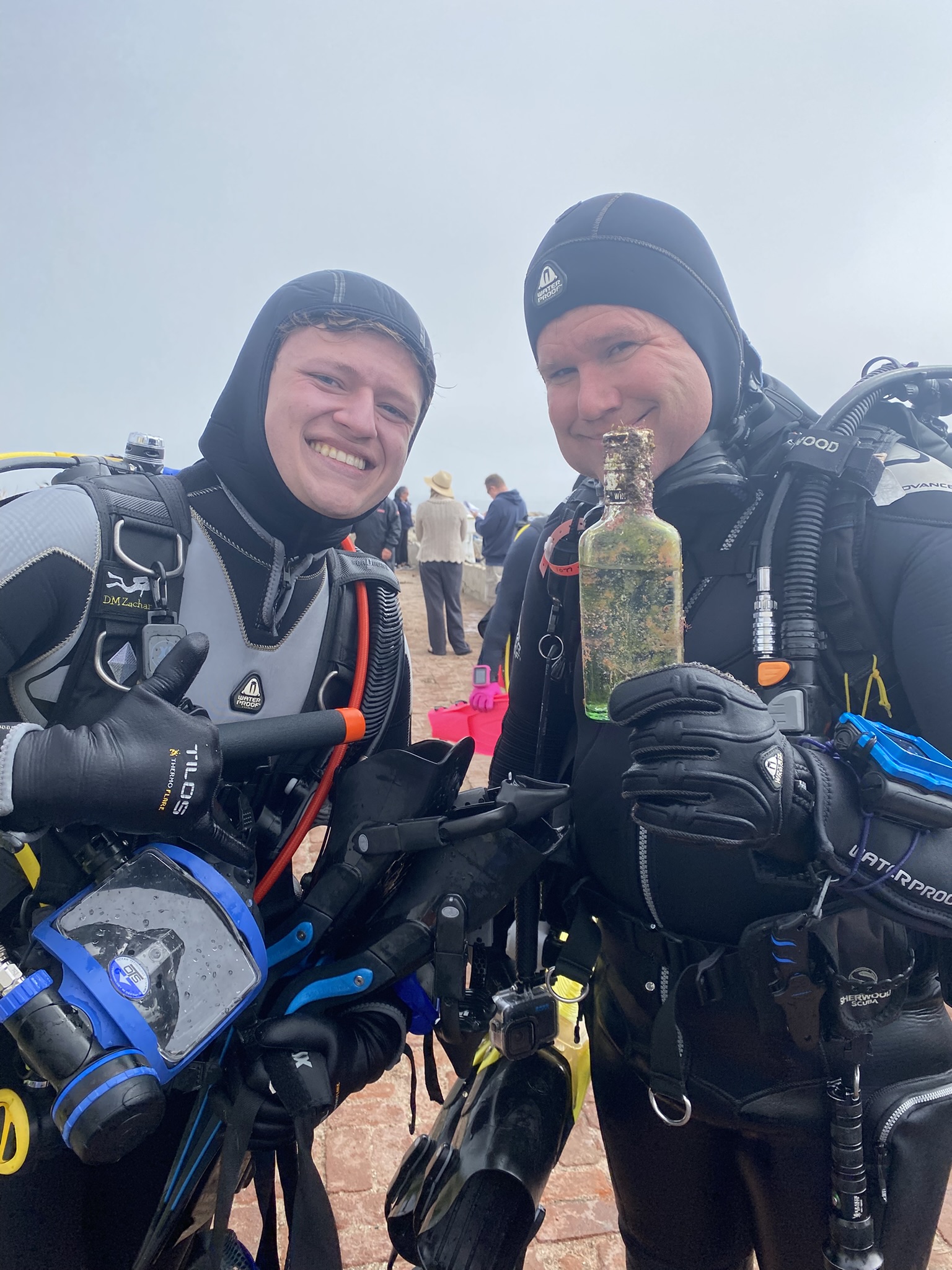
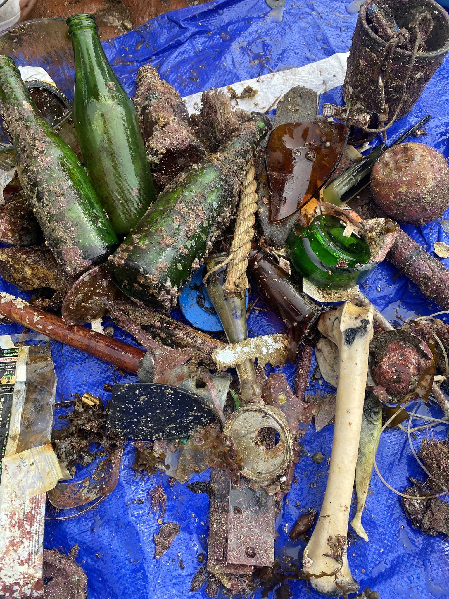
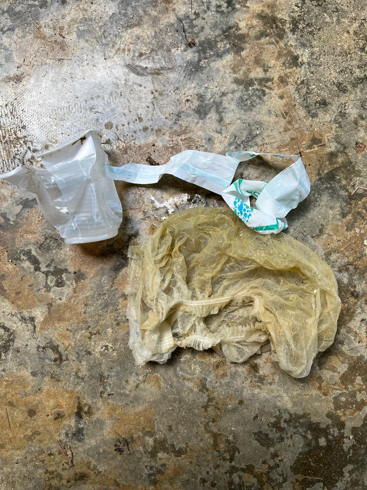
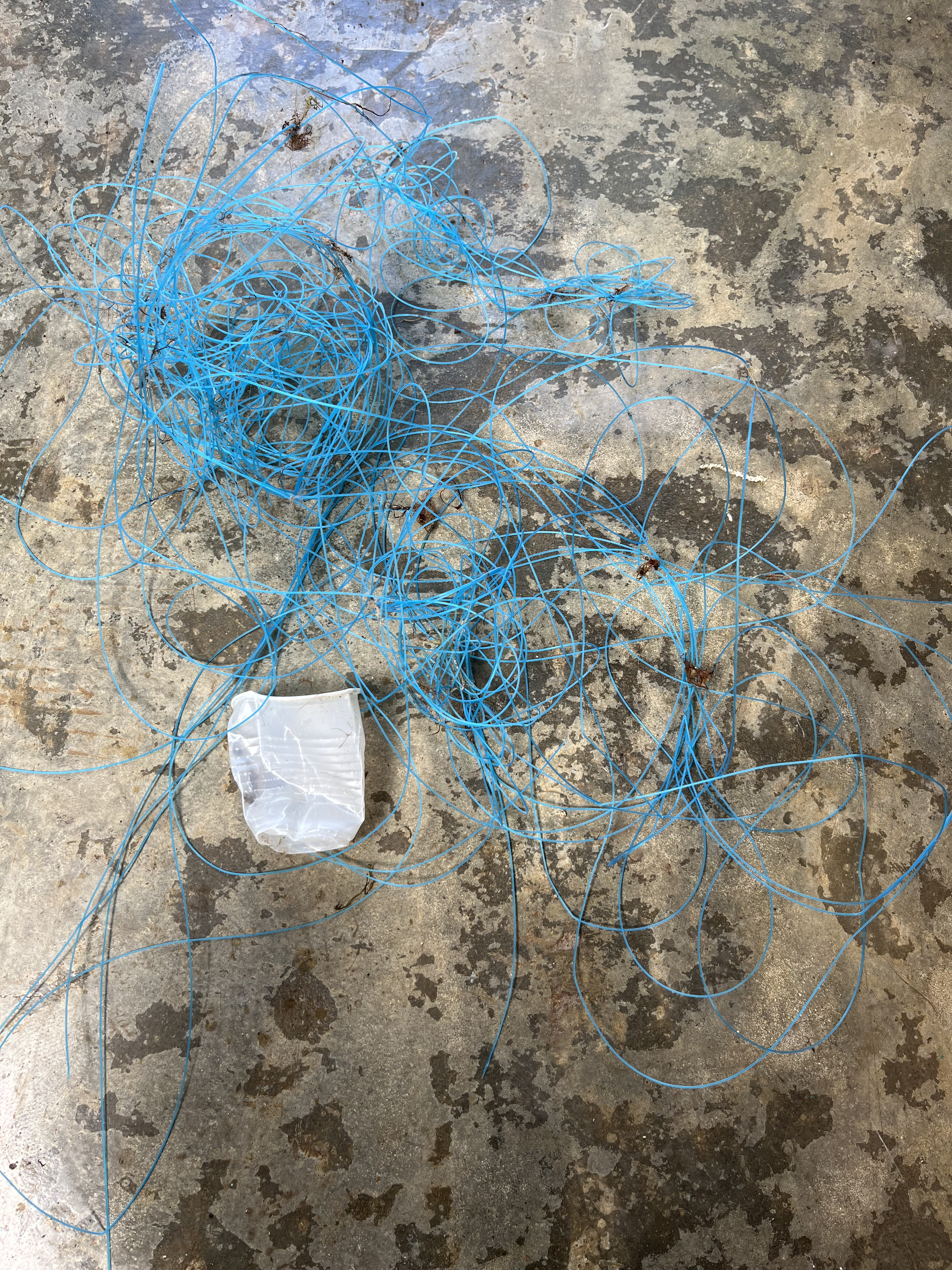
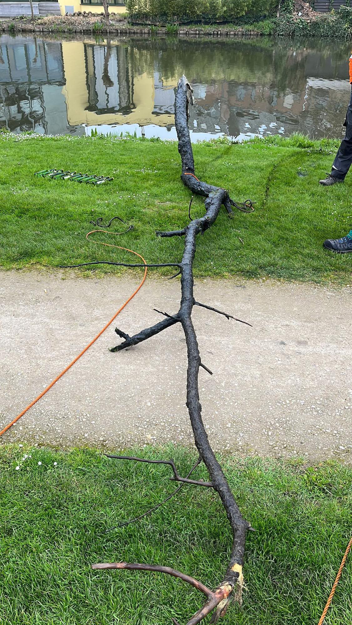
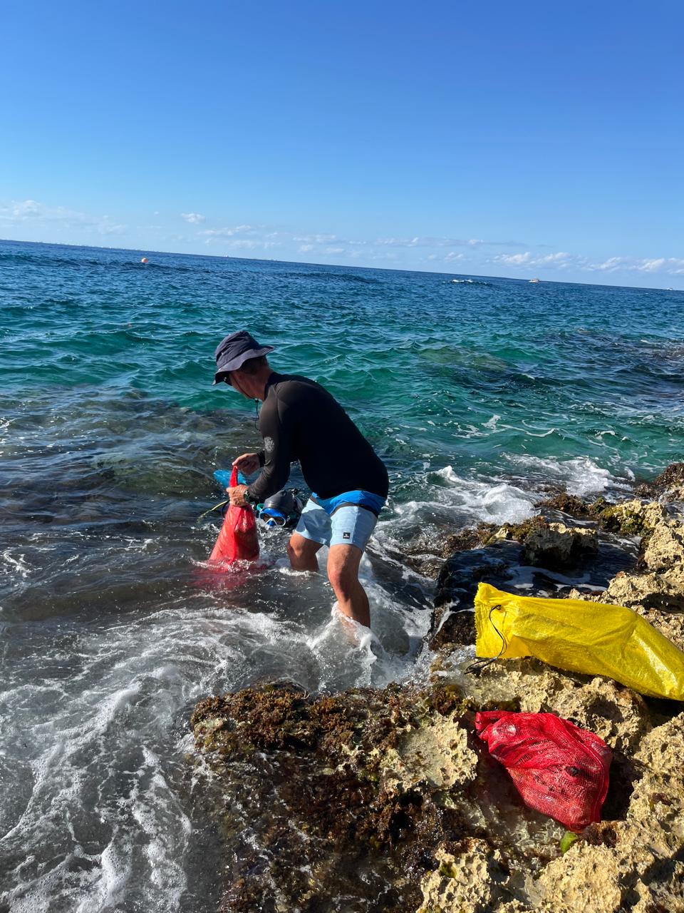
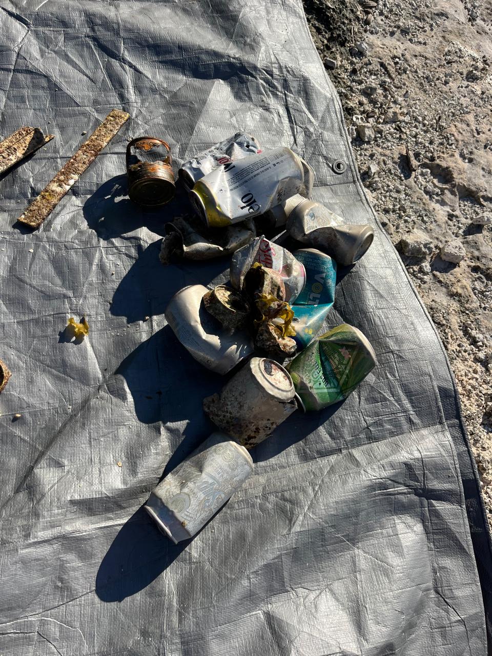
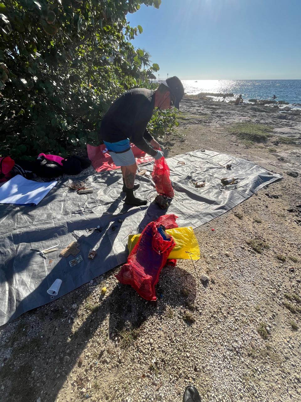
we found a lot of garbage out of the water that was not documented in this registry. we thought of promoting activities that involve cleaning up out of the sea.
Rainy, strong winds
2
ceiling fan blades
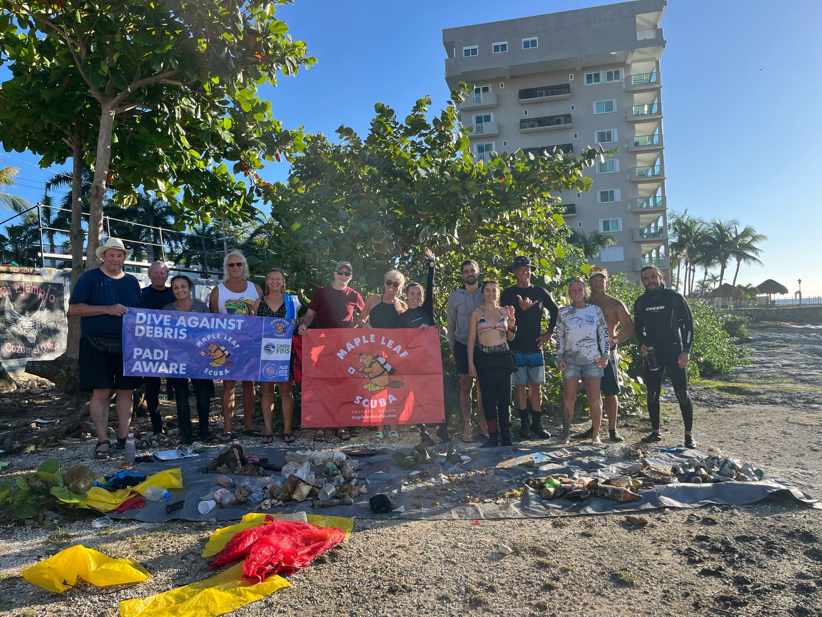
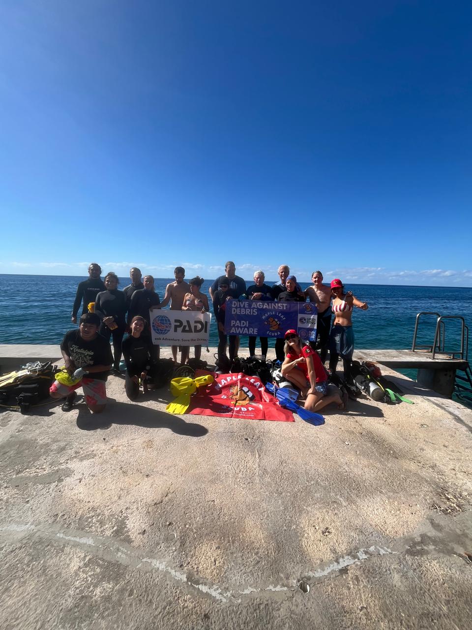
Maple Leaf Scuba
Maria Jose Gonzalez
4
11
4
2
1
2
9
5
15
0
12
2
71.60
65
8.00
2.00
measured
8
150.00
2
On
pounds
I have debris data to report
25
Smooth (wavelets) for waves 0.1 - 0.5 meter high
6
2
1
m2


3
1
meters
seagrass
14
4
7
5
3
1
1
5
2
9
2
30
13
44
1
2
2
State\Province
Quintana Roo
City
Cozumel
Map Help
Dive Location
If you know your survey site coordinates, enter them manually in decimal degrees using WGS84 Map Datum. Use the minus sign for latitudes south of the equator and longitudes west of the Prime Meridian to 180 degrees.
If you do not know your survey site coordinates, click the “Map Location” tab to use the map to zoom into your survey site and drop the pin on the map to fall within your survey dive site in the water (not on land or the beach). Ensure you zoom in as much as possible to ensure data accuracy.
Entangled Help