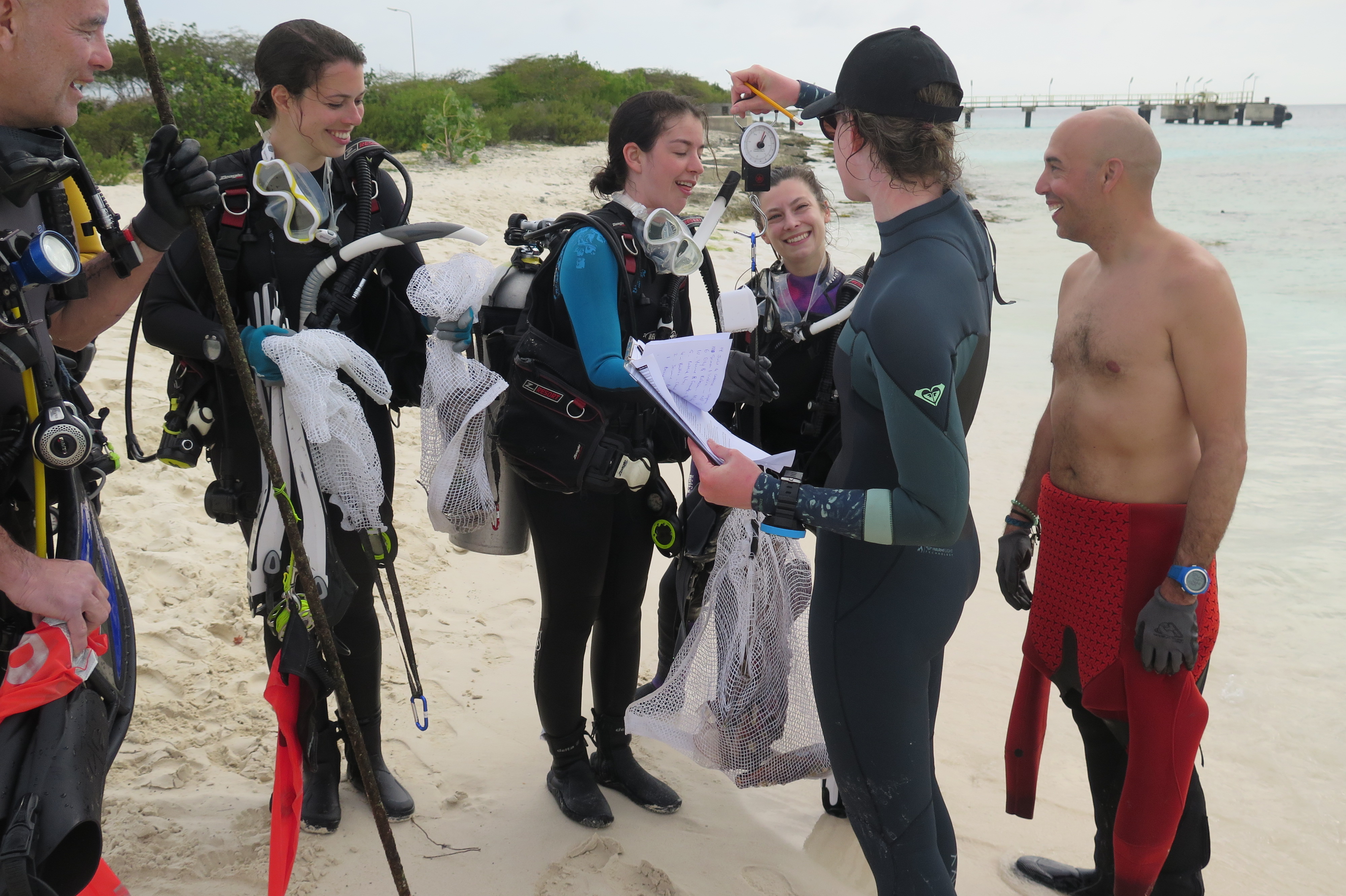
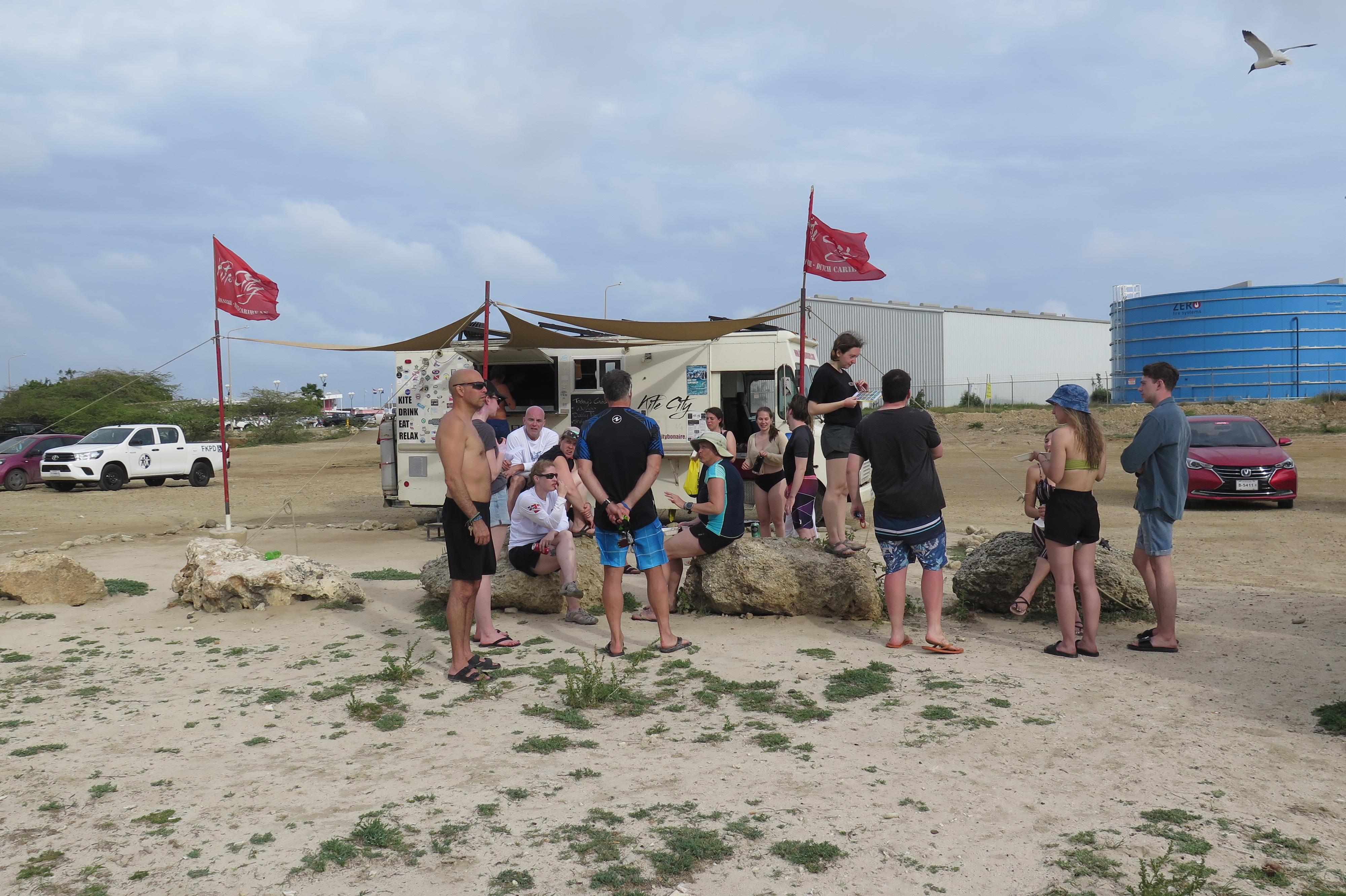
Te Amo Beach, Bonaire
1
1
coral
2
18
12.134006255916, -68.280906698351
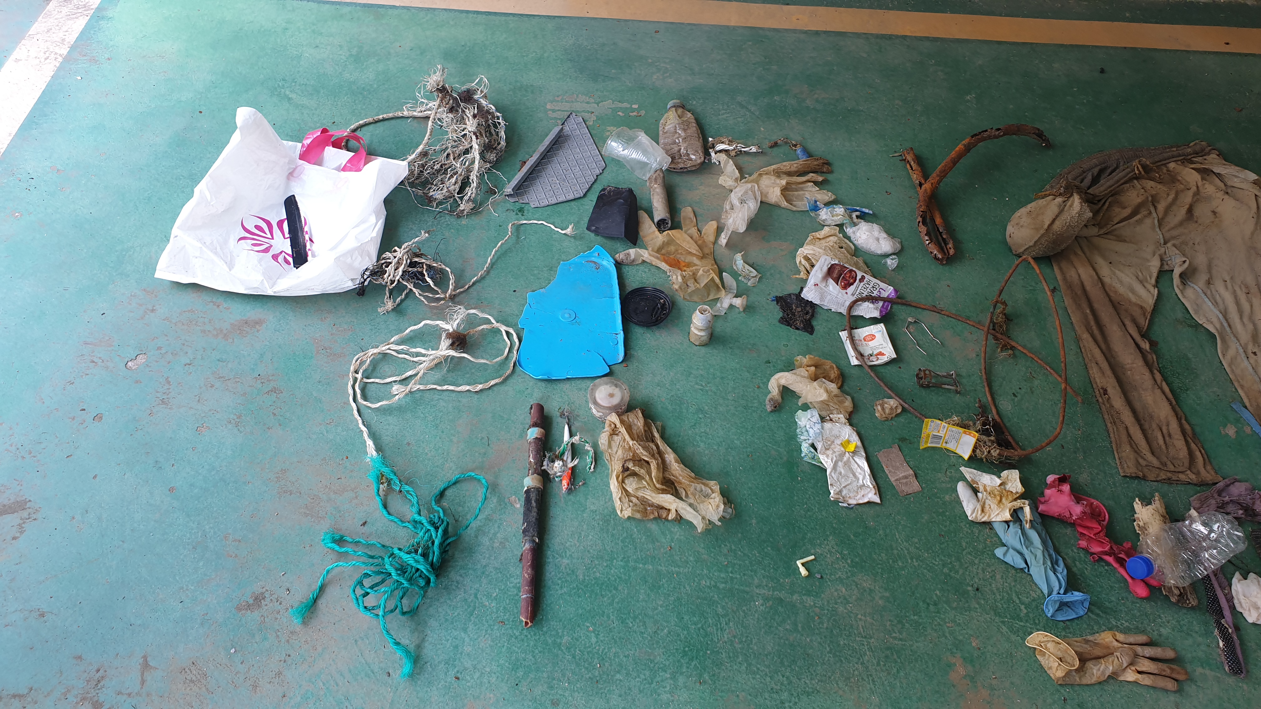
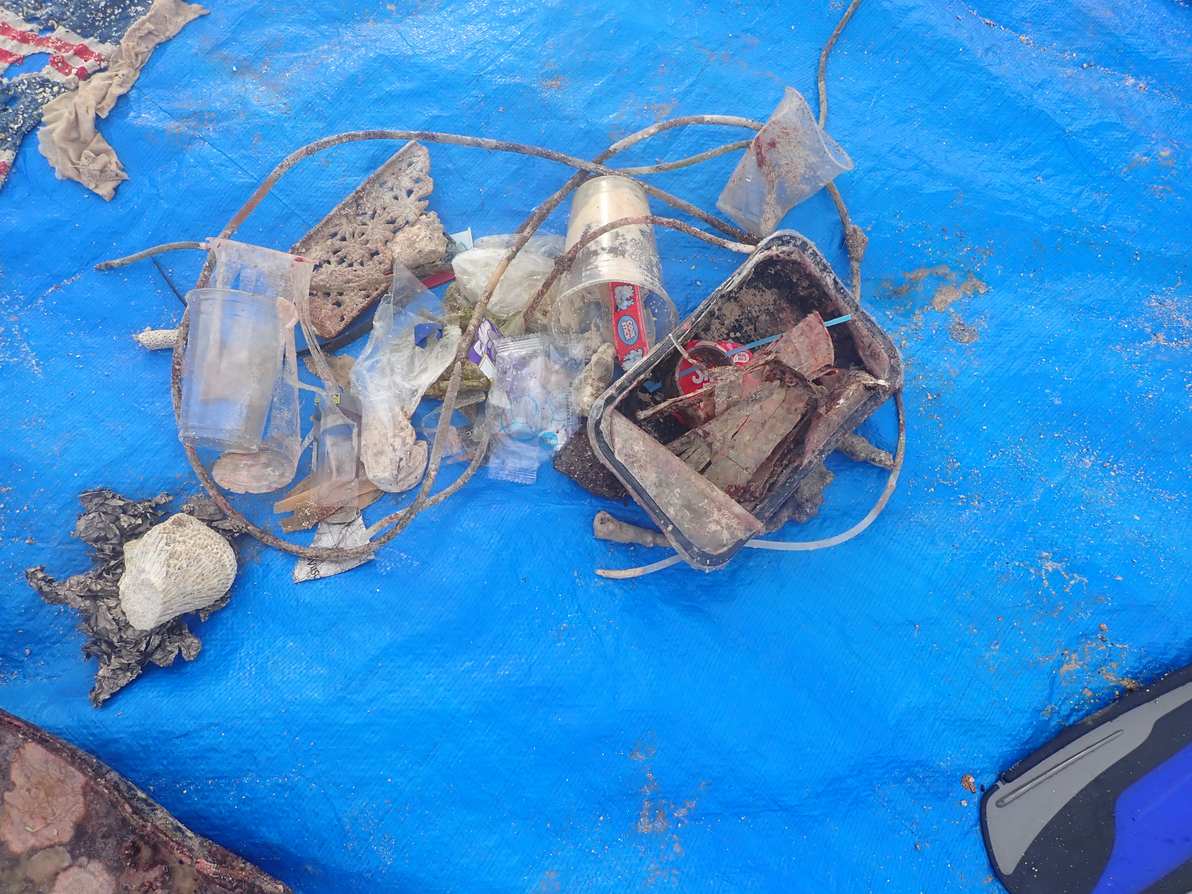
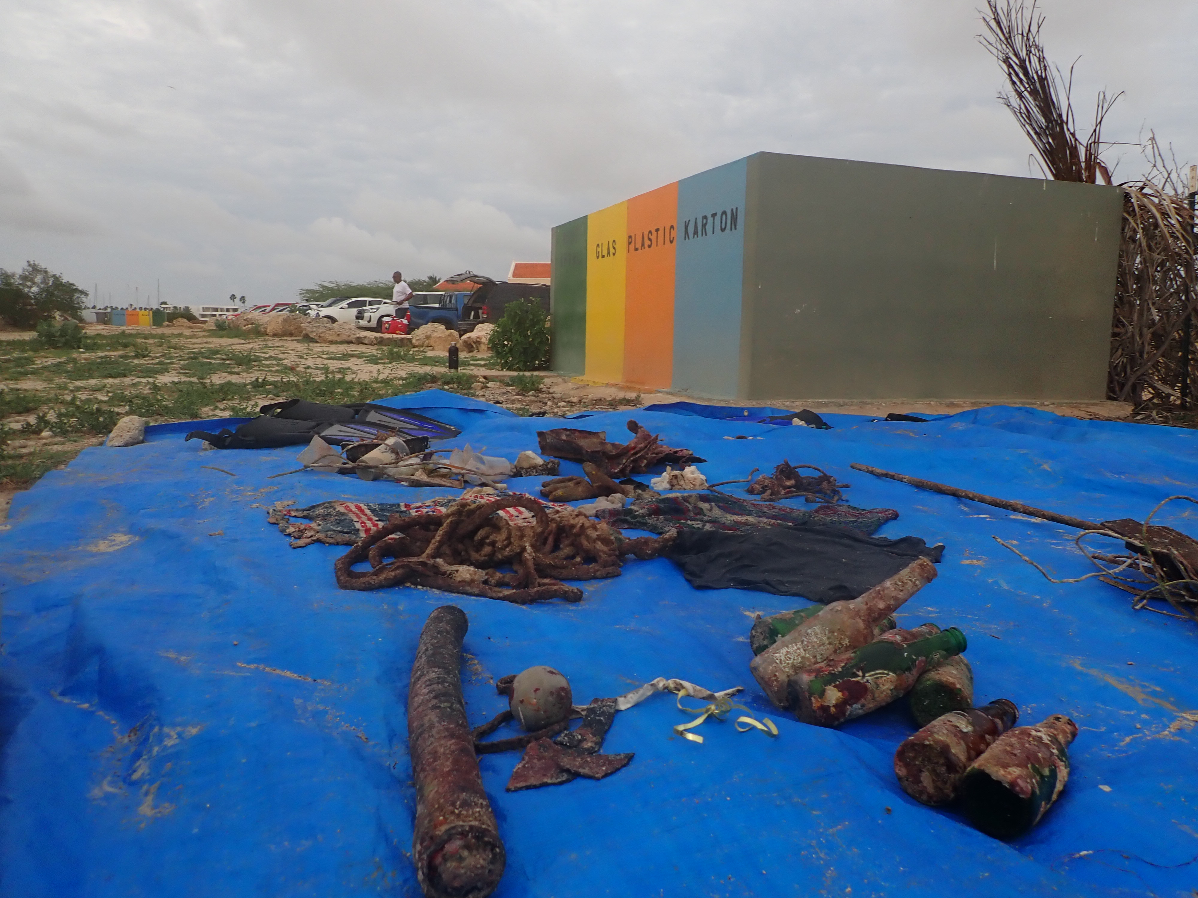
Food trucks located close to the site do not serve food in disposable containers (thus reducing potential for plastic waste)
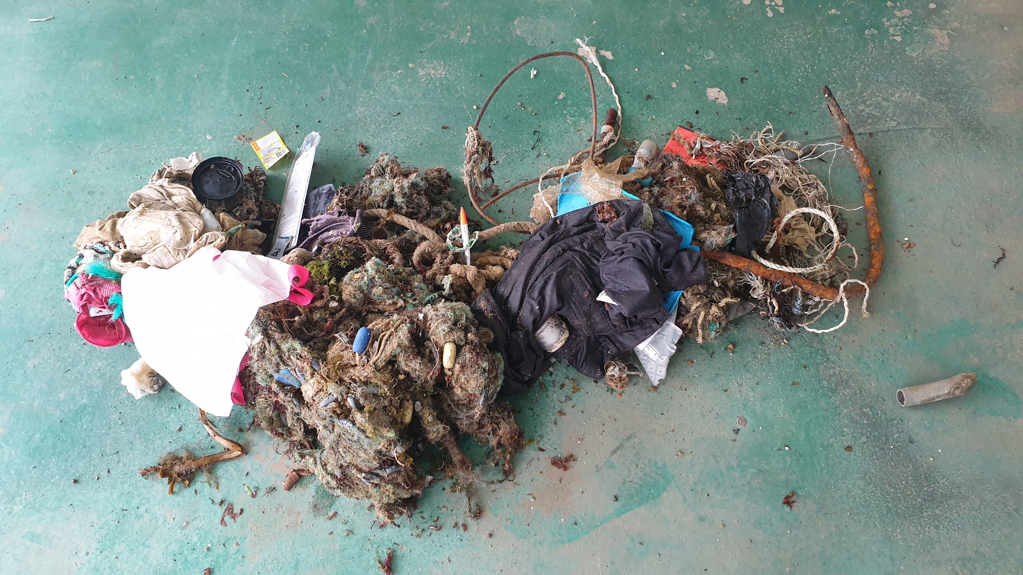
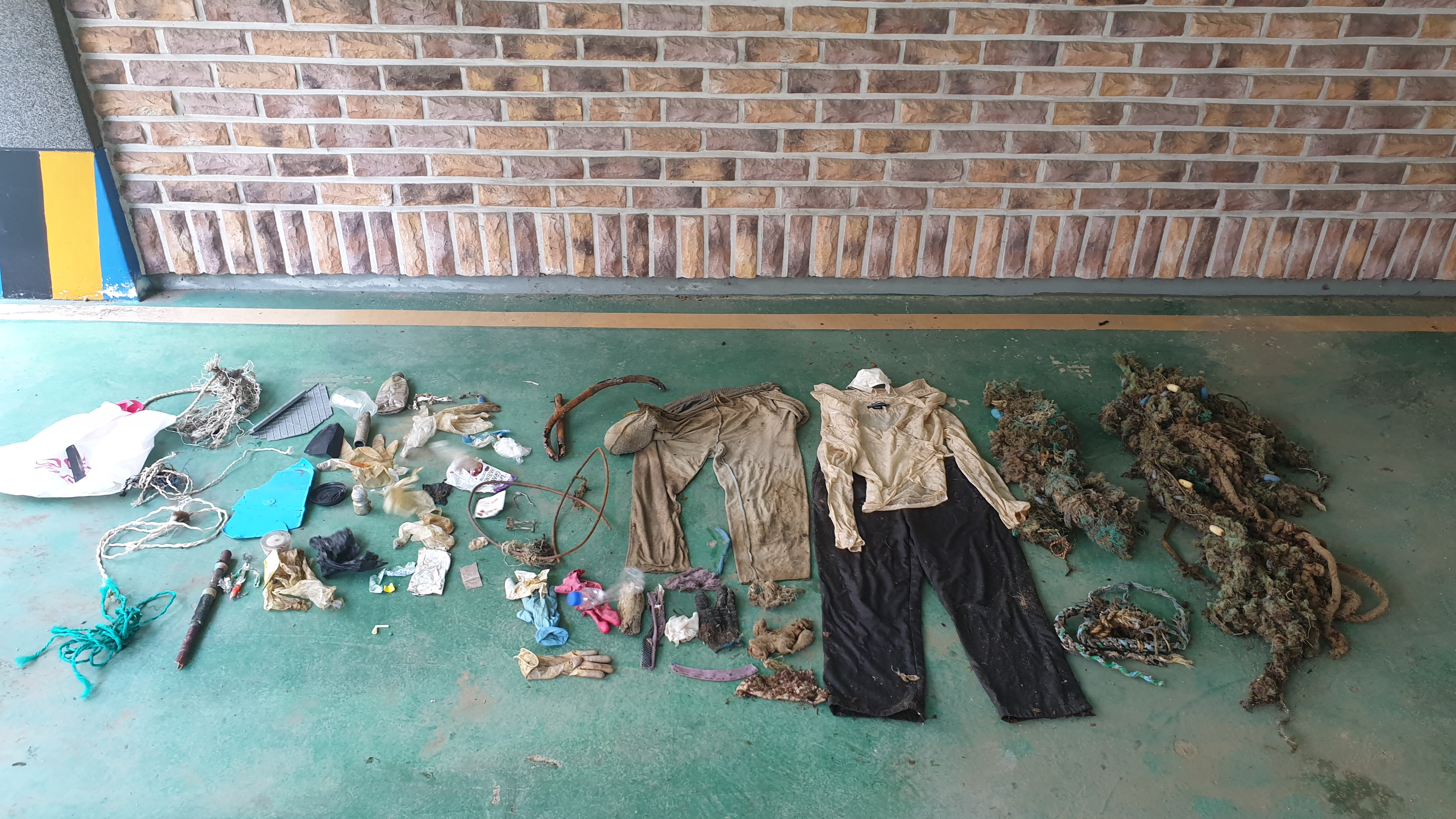
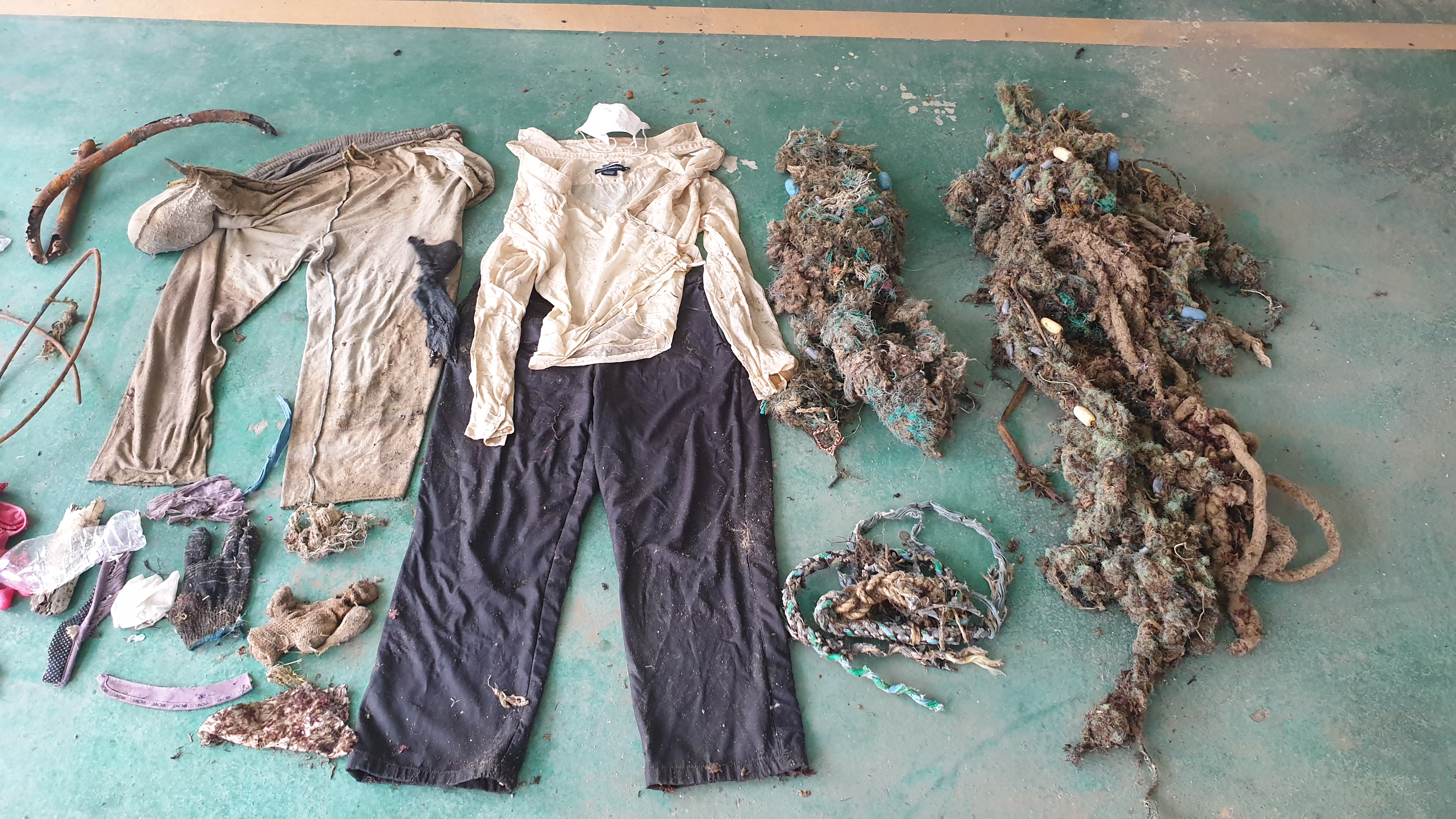
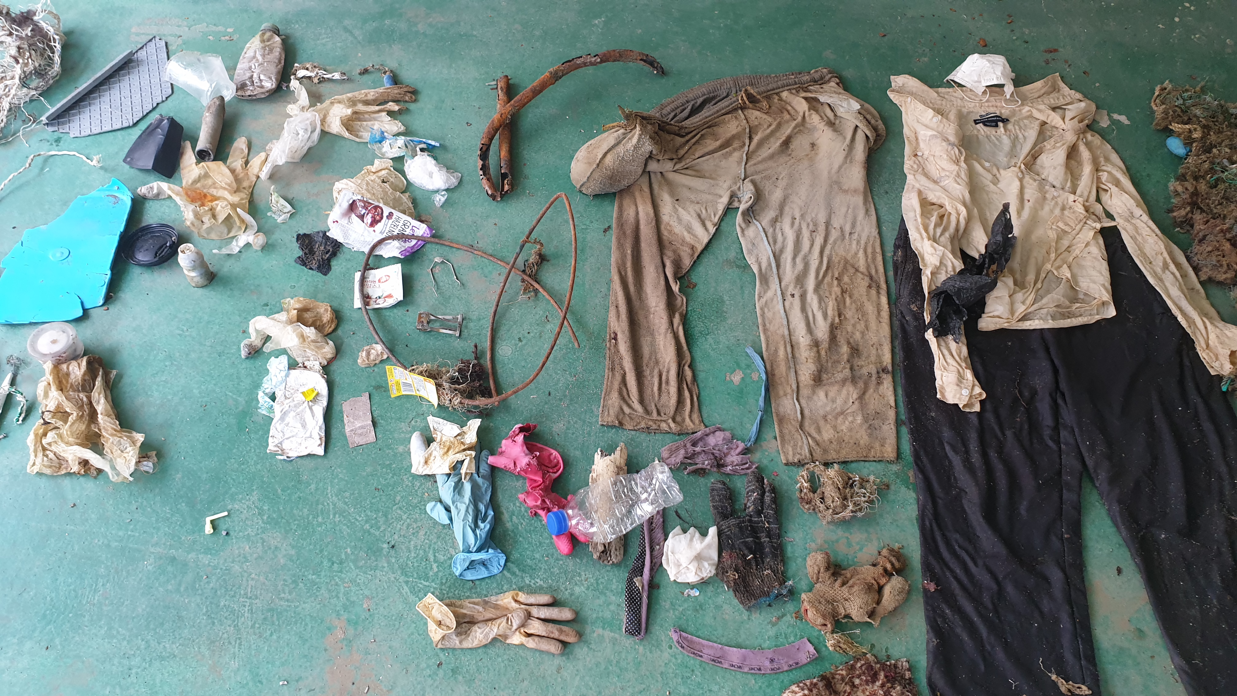
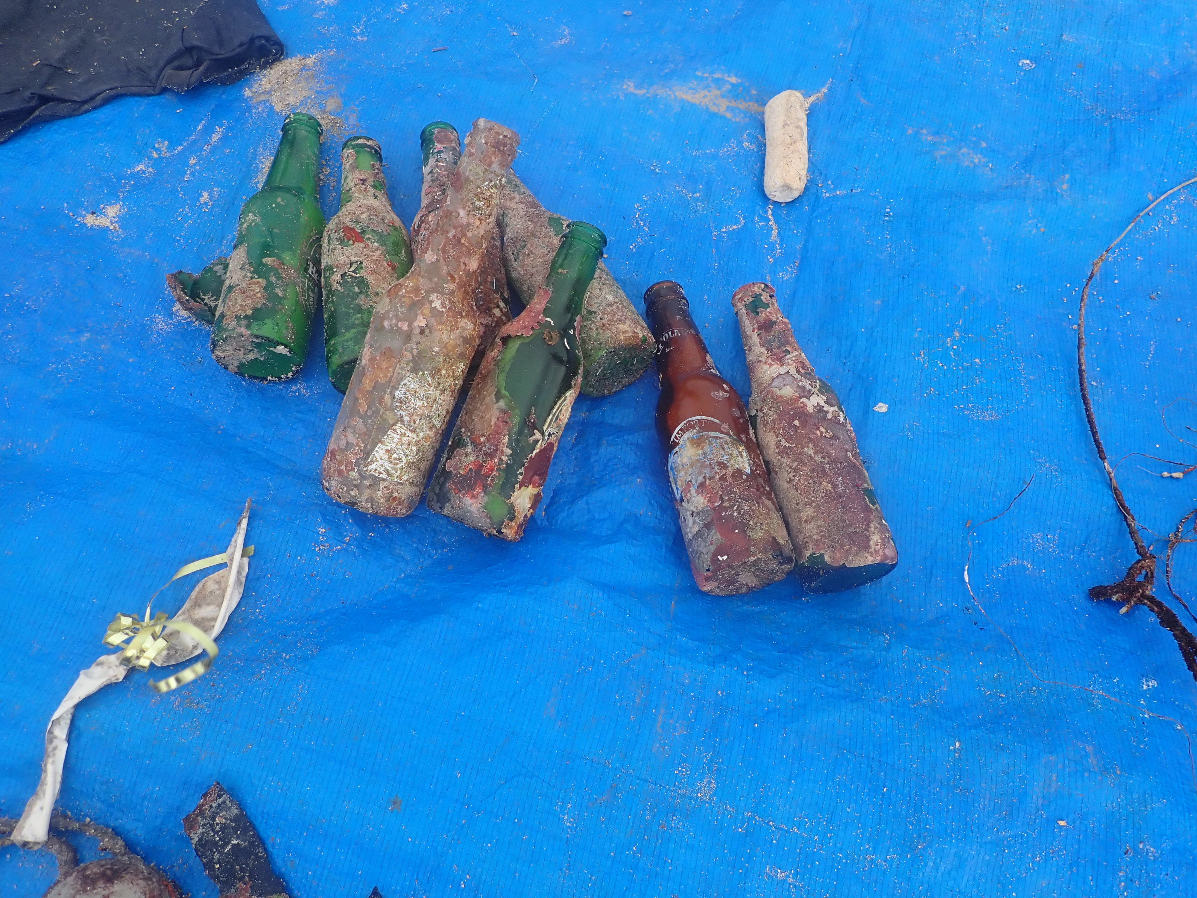
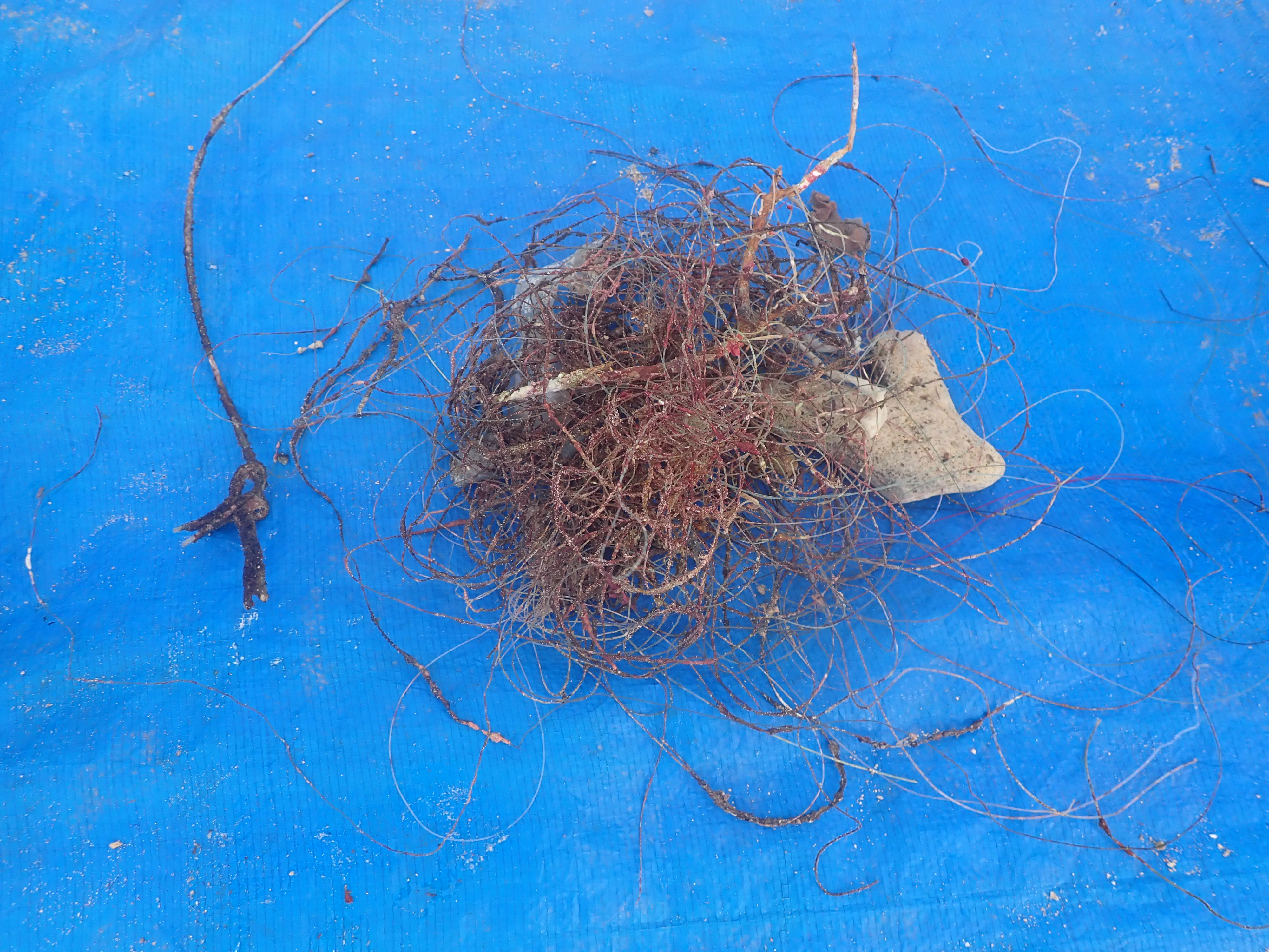
Commercial pier located on the site (debris collected under the pier), locals may be allowed to fish from this location (thus explaining the numerous fishing lines found)
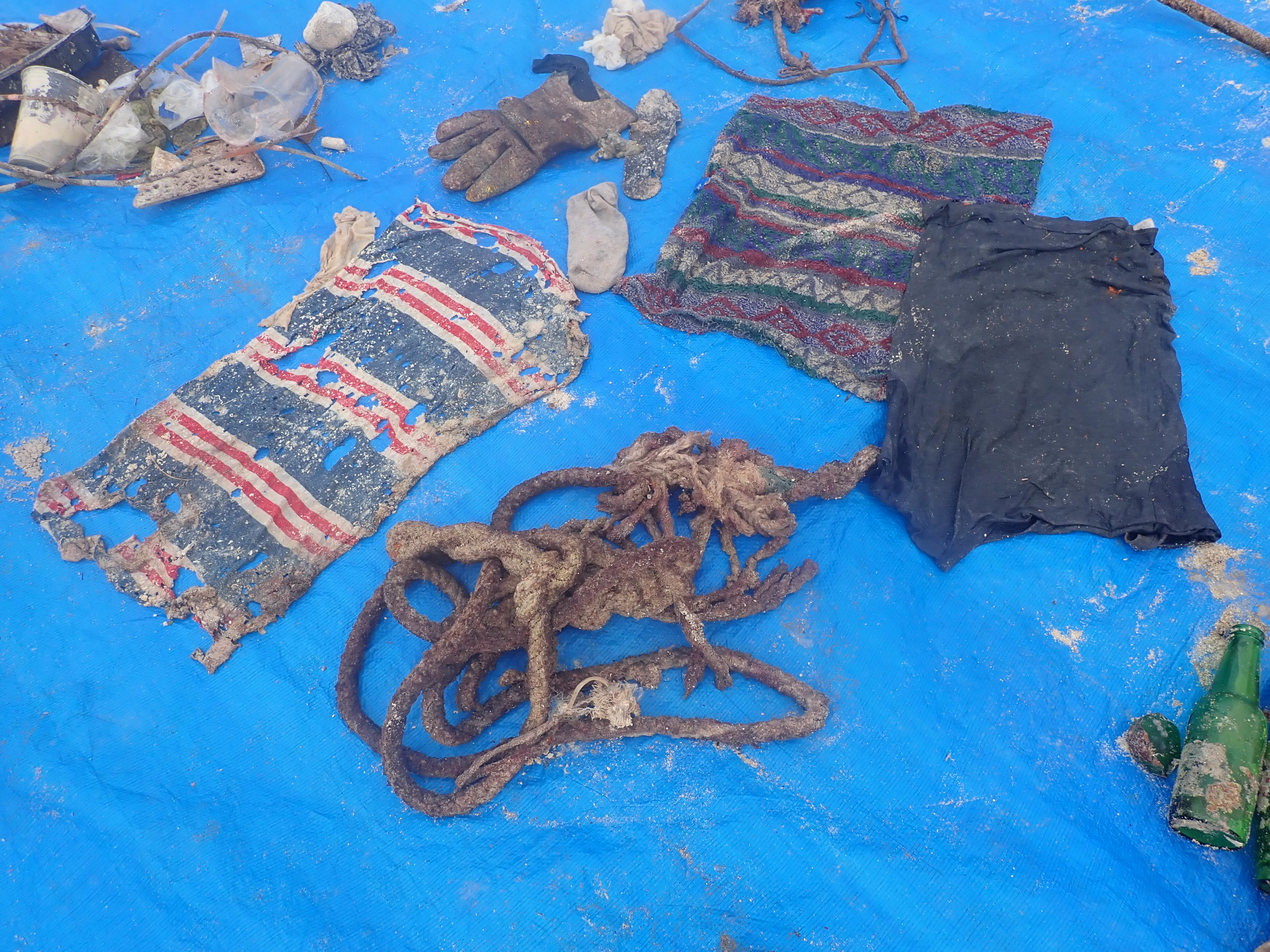
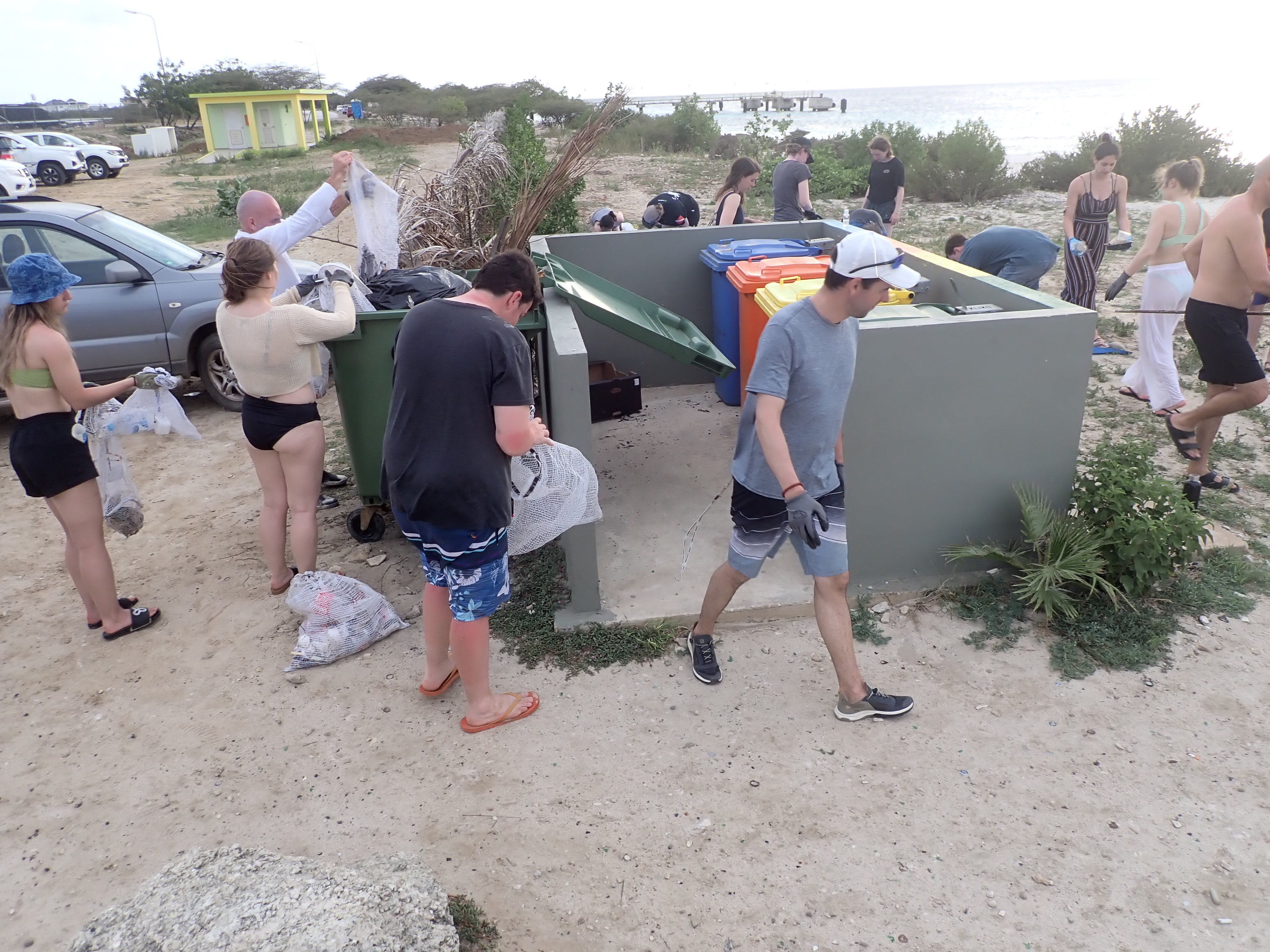
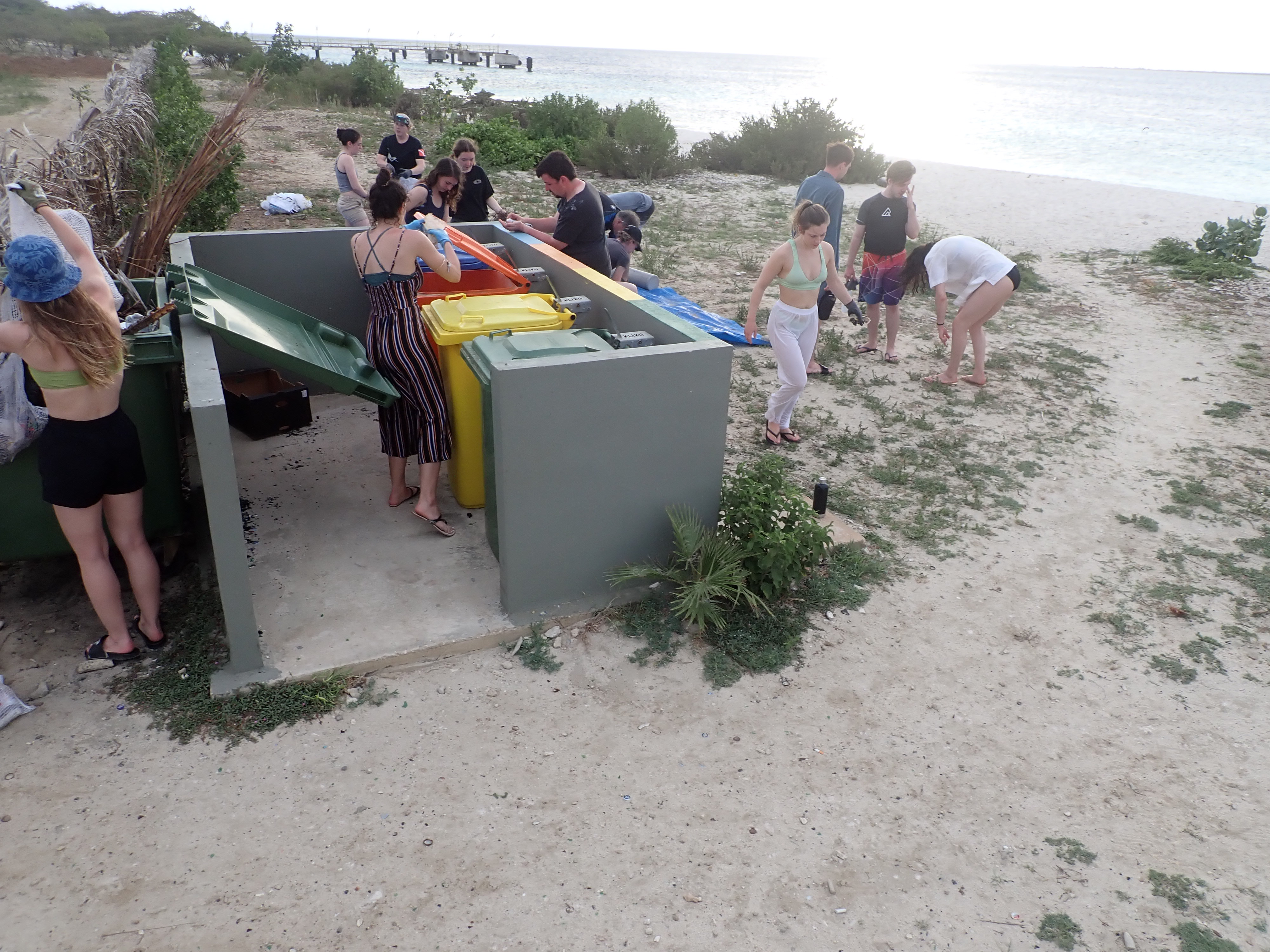
One of the only public beaches in Bonaire where many tourists and locals go for picnics (plastic and cardboard (mostly) food wrappers)
Construction materials were found under the pier; some of which were too heavy to recover
Commercial pier located on the site (debris collected under the pier), locals may be allowed to fish from this location (thus explaining the numerous fishing lines found)
One of the only public beaches in Bonaire where many tourists and locals go for picnics (plastic and cardboard (mostly) food wrappers)
Construction materials were found under the pier; some of which were too heavy to recover
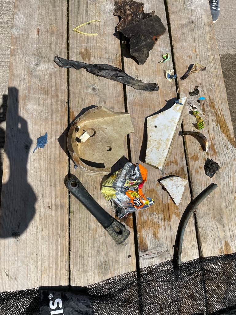
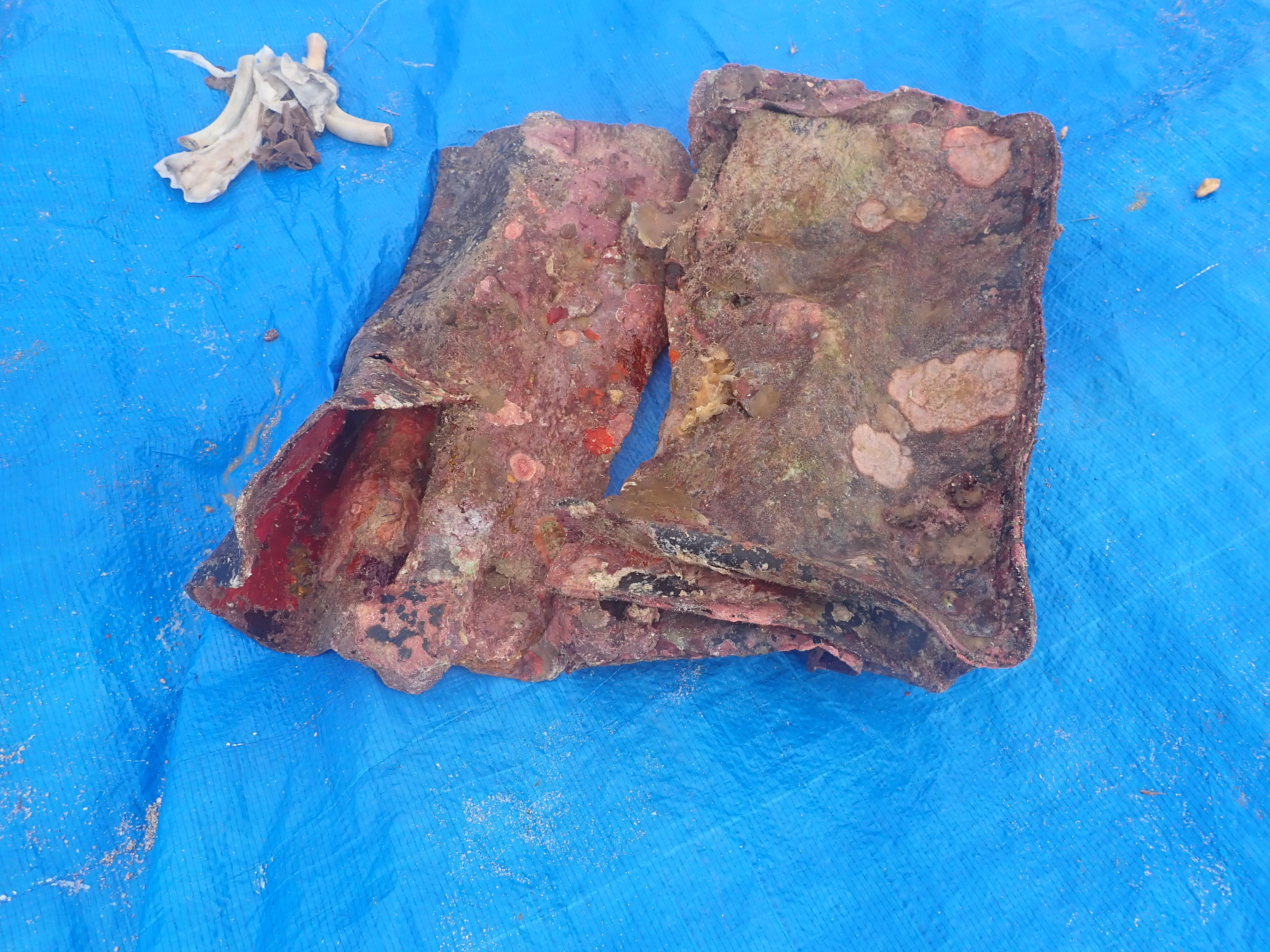
Leather briefcase
Nothing to declare.
Rain showers and cloudy
Rain showers and cloudy
1
1
leather briefcase
dried paint flake
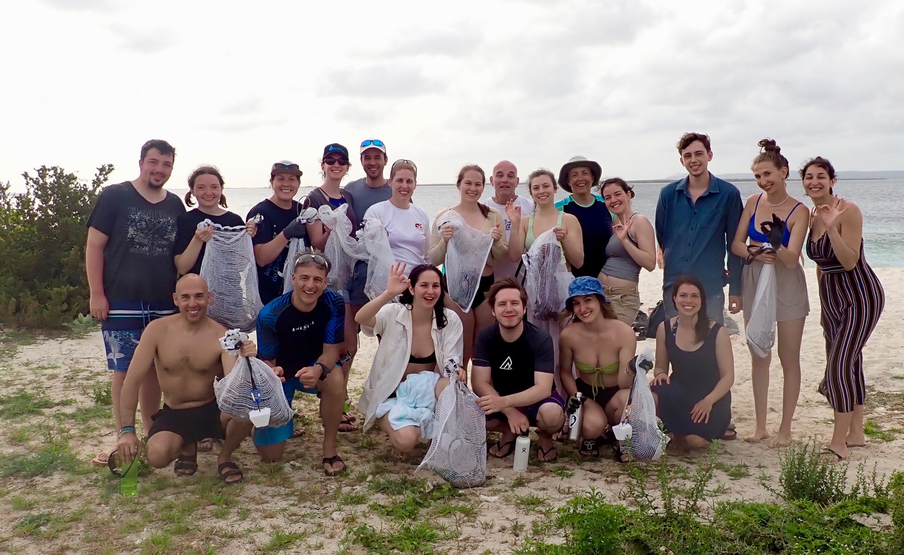
Regroupement de chercheurs en conservation et santé des écosystèmes aquatiques (RCCSEA)
Michèle Doucet
1
6
1
9
2
20
11
1
1
56.00
40
40.00
6.00
2
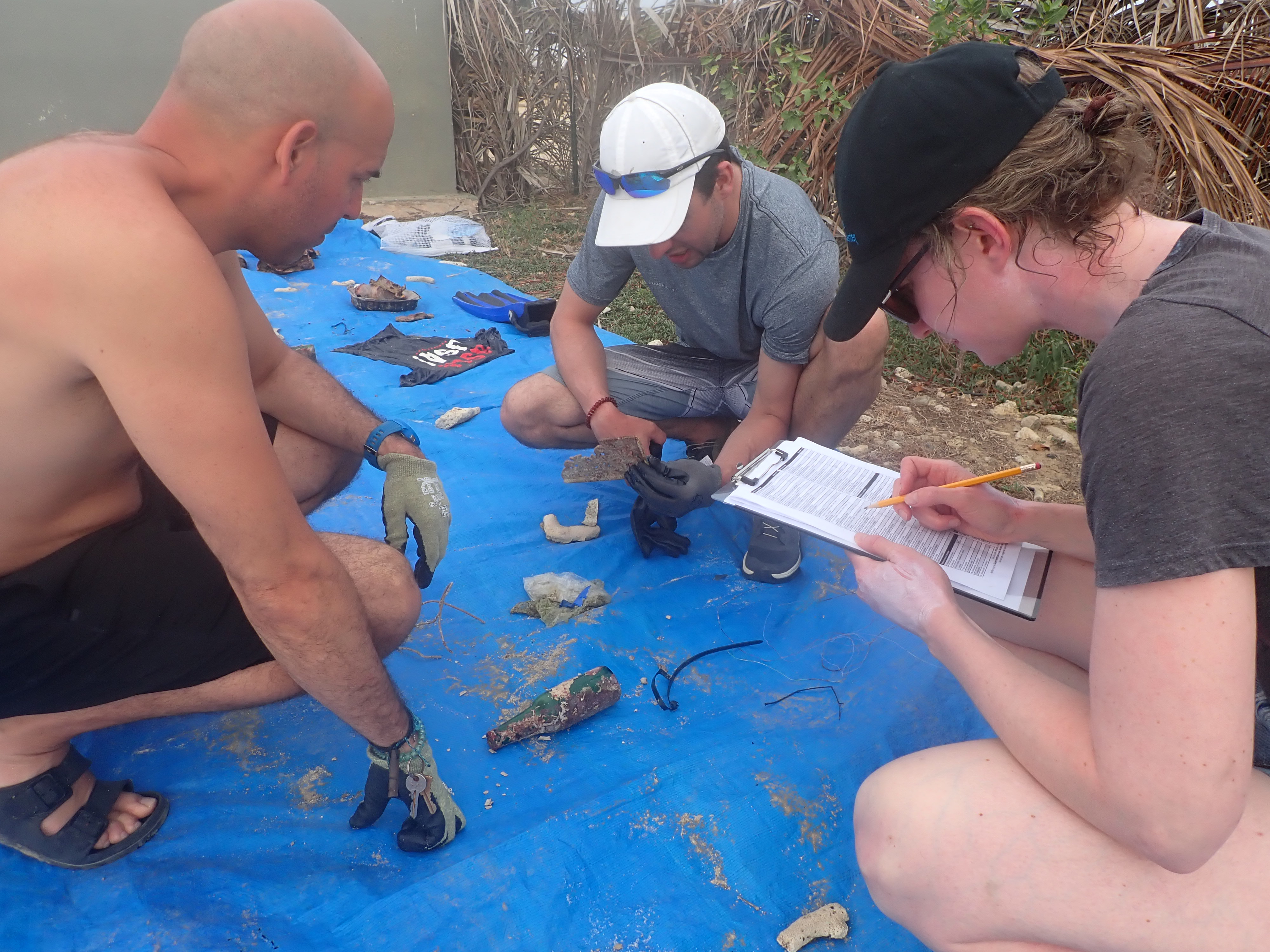
measured
3
5820.22
3
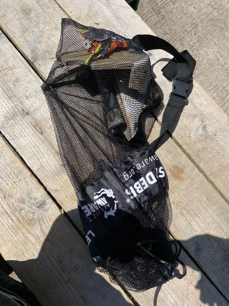
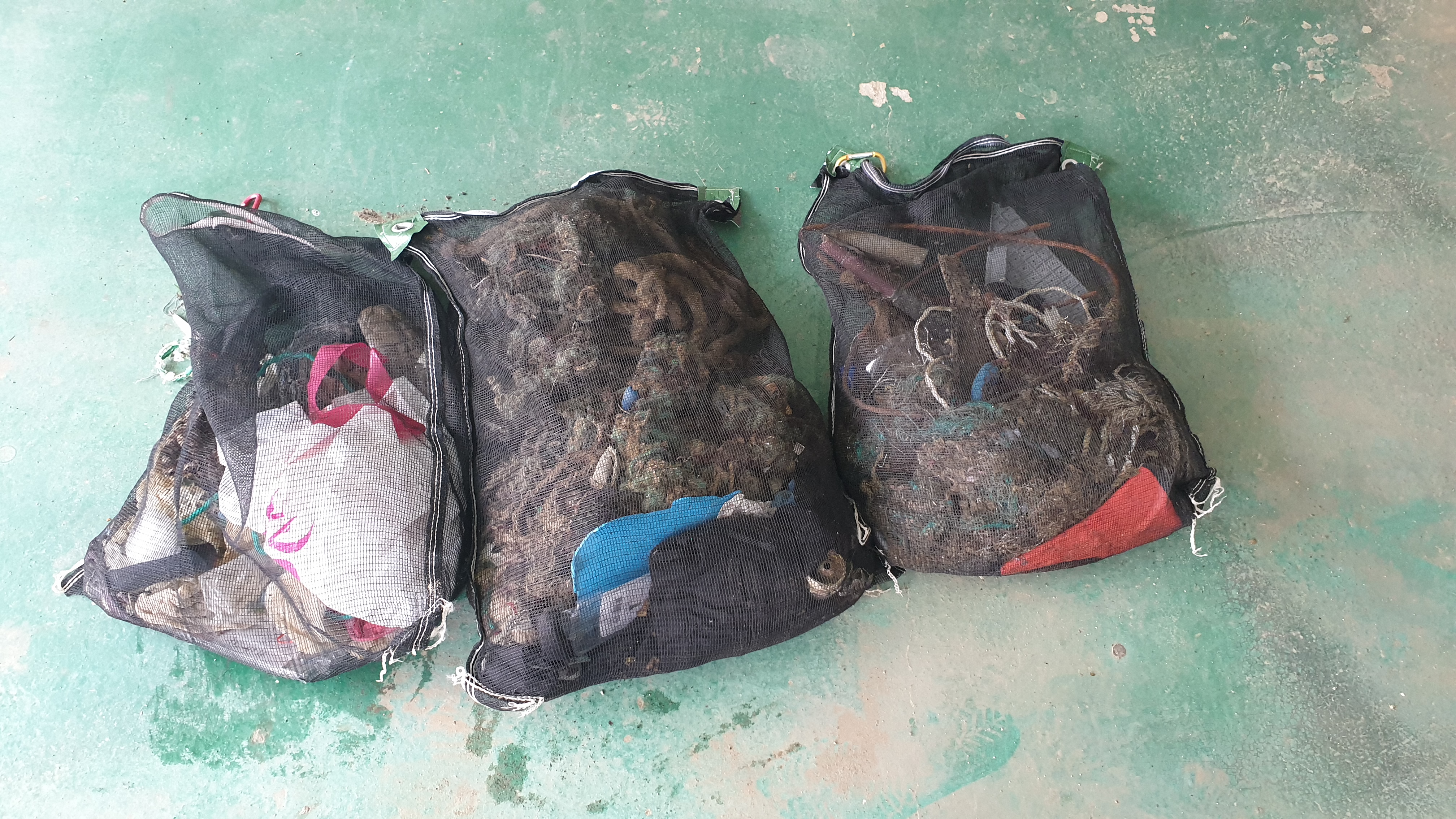
various plastic materials
fishing lines
On
pounds
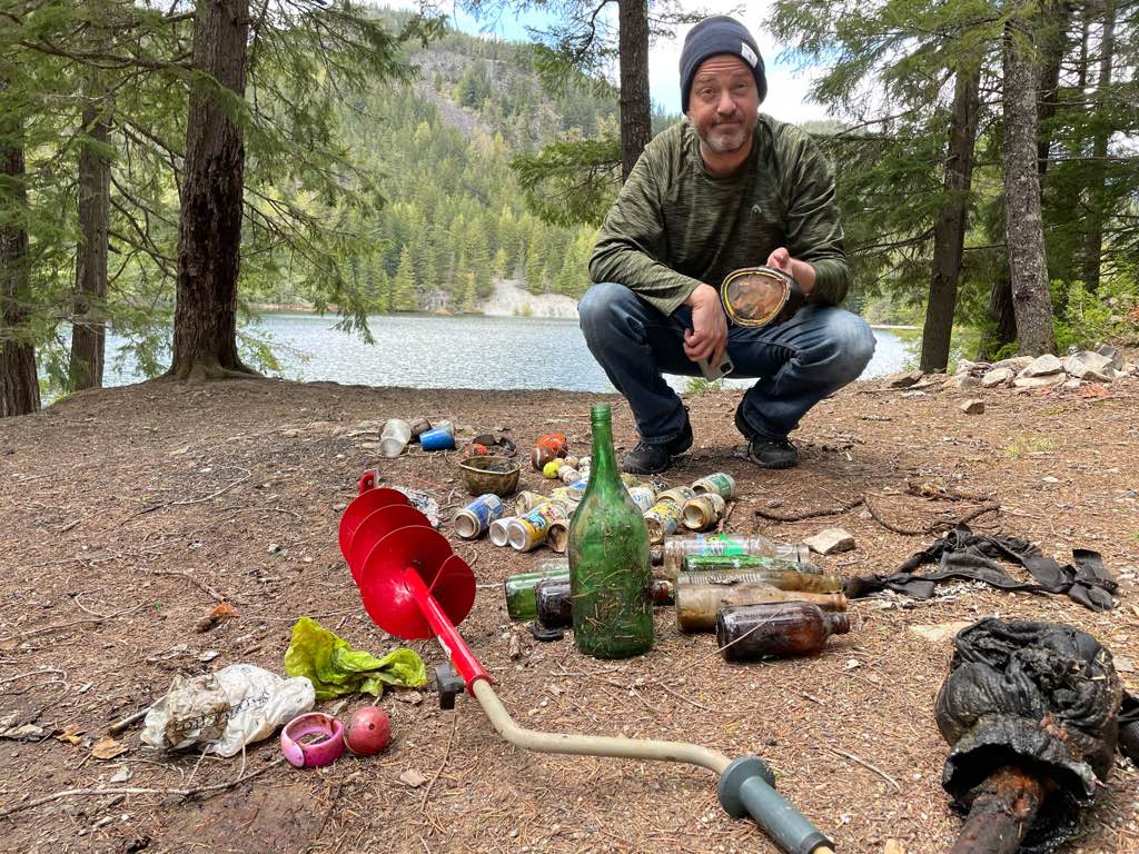
I have debris data to report
7
Smooth (wavelets) for waves 0.1 - 0.5 meter high
1
4
m2


3
2
feet
coral reef
4
1
1
3
1
City
Kralendjik
Map Help
Dive Location
If you know your survey site coordinates, enter them manually in decimal degrees using WGS84 Map Datum. Use the minus sign for latitudes south of the equator and longitudes west of the Prime Meridian to 180 degrees.
If you do not know your survey site coordinates, click the “Map Location” tab to use the map to zoom into your survey site and drop the pin on the map to fall within your survey dive site in the water (not on land or the beach). Ensure you zoom in as much as possible to ensure data accuracy.
Entangled Help