Menu

ADS25 - Rappahannock Quarry

silt

38.325337863532, -77.503792047501

Rain
Patriot Scuba
Michael Gilmore
3
0.00
30
35.00
36.00
estimated
5000.00
On
pounds
Our Survey Site was free of debris
Calm (glassy to rippled) for waves 0 – 0.1 meter high ft2
feet
other
United States
State\Province
VA
City
Occoquan
Map Help


Dive Location

If you know your survey site coordinates, enter them manually in decimal degrees using WGS84 Map Datum. Use the minus sign for latitudes south of the equator and longitudes west of the Prime Meridian to 180 degrees.

If you do not know your survey site coordinates, click the “Map Location” tab to use the map to zoom into your survey site and drop the pin on the map to fall within your survey dive site in the water (not on land or the beach). Ensure you zoom in as much as possible to ensure data accuracy.

Entangled Help


Use the vertical tabs below to record any entangled animals you found of each type.

Ecosystem Other
Quarry

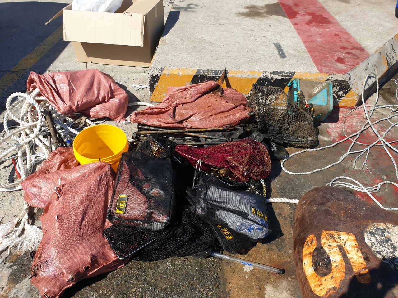
BUSAN PORT(YOUNG-DO)

rock

35.091401727095, 129.07359727343

seaworld dive center
HYE JUNG NAM
5
60.00
55
9.00
6.00
estimated
50.00
On
kilograms
I have debris data to report
Calm (glassy to rippled) for waves 0 – 0.1 meter high m2
meters
other
South Korea
City
busan
Map Help


Dive Location

If you know your survey site coordinates, enter them manually in decimal degrees using WGS84 Map Datum. Use the minus sign for latitudes south of the equator and longitudes west of the Prime Meridian to 180 degrees.

If you do not know your survey site coordinates, click the “Map Location” tab to use the map to zoom into your survey site and drop the pin on the map to fall within your survey dive site in the water (not on land or the beach). Ensure you zoom in as much as possible to ensure data accuracy.
Entangled Help


Use the vertical tabs below to record any entangled animals you found of each type.

Ecosystem Other
rock

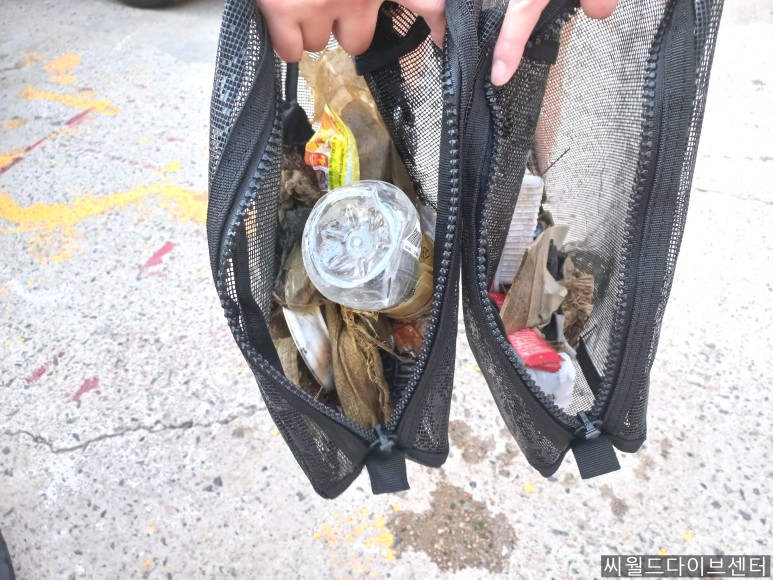
TAEJONGDAE GAMJIBEACH

rock

35.060309388663, 129.07585532816

seaworld dive center
HYE JUNG NAM
2
2.00
35
10.00
2.00
estimated
20.00
On
kilograms
I have debris data to report
Smooth (wavelets) for waves 0.1 - 0.5 meter high m2
meters
other
South Korea
City
busan
Map Help


Dive Location

If you know your survey site coordinates, enter them manually in decimal degrees using WGS84 Map Datum. Use the minus sign for latitudes south of the equator and longitudes west of the Prime Meridian to 180 degrees.

If you do not know your survey site coordinates, click the “Map Location” tab to use the map to zoom into your survey site and drop the pin on the map to fall within your survey dive site in the water (not on land or the beach). Ensure you zoom in as much as possible to ensure data accuracy.
Entangled Help


Use the vertical tabs below to record any entangled animals you found of each type.

Ecosystem Other
rocky and sand

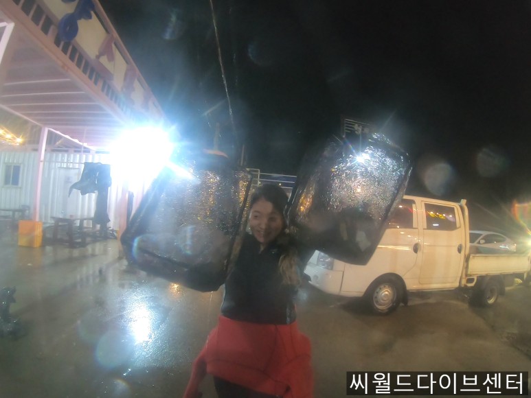
TAEJONGDAE GAMJIBEACH

rock

35.060091593252, 129.07602698954

SEAWORLD DIVE CENTER
HYE JUNG NAM
2
3.00
40
10.00
3.00
estimated
20.00
On
kilograms
I have debris data to report
Slight for waves 0.5 -1.25 meter high m2
meters
other
South Korea
City
BUSAN
Map Help


Dive Location

If you know your survey site coordinates, enter them manually in decimal degrees using WGS84 Map Datum. Use the minus sign for latitudes south of the equator and longitudes west of the Prime Meridian to 180 degrees.

If you do not know your survey site coordinates, click the “Map Location” tab to use the map to zoom into your survey site and drop the pin on the map to fall within your survey dive site in the water (not on land or the beach). Ensure you zoom in as much as possible to ensure data accuracy.
Entangled Help


Use the vertical tabs below to record any entangled animals you found of each type.

Ecosystem Other
ROCKY AND SAND

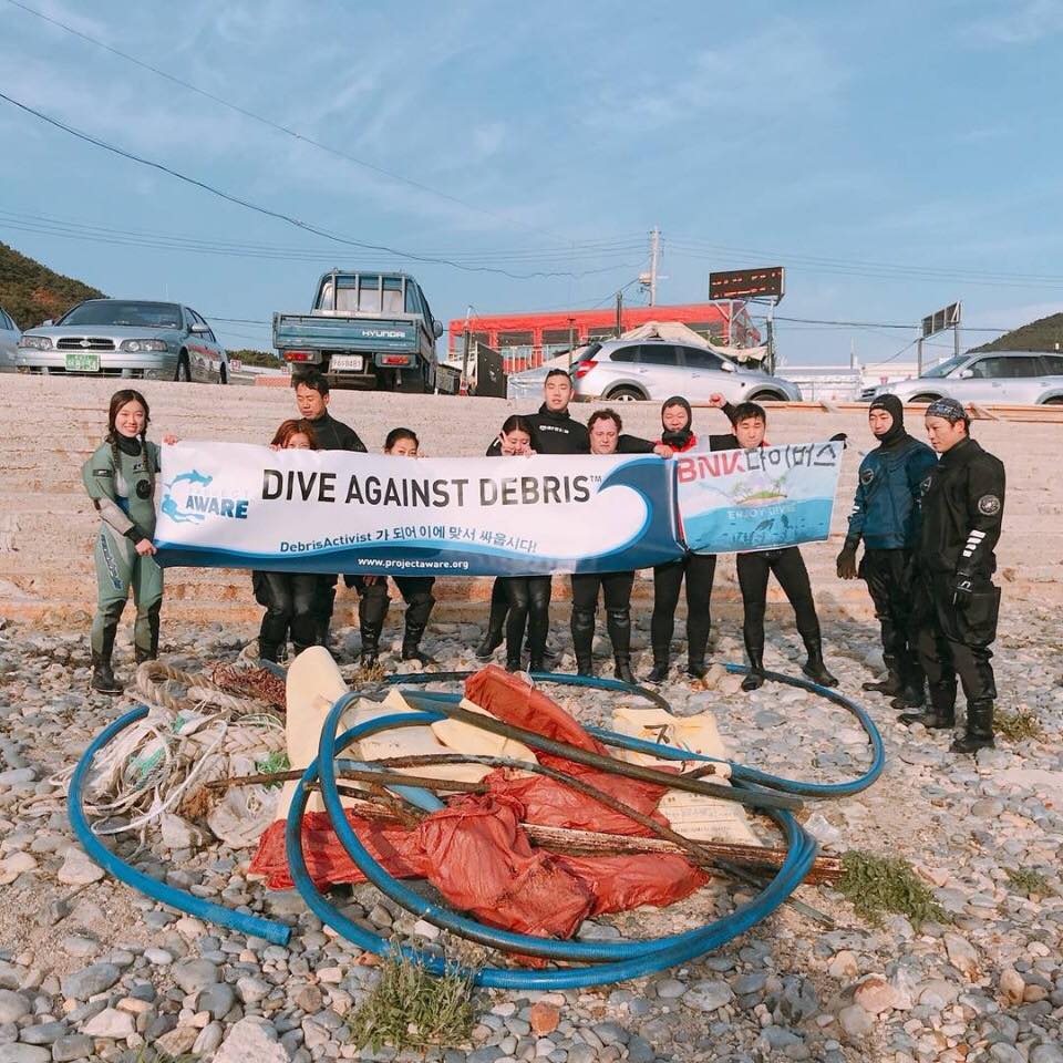
TAEJONGDAE GAMJIBEACH

rock

35.05307, 129.0872

SEAWORLD DIVE CENTER
HYE JUNG NAM
11
50.00
30
13.00
2.00
estimated
30.00
On
kilograms
I have debris data to report
Smooth (wavelets) for waves 0.1 - 0.5 meter high m2
meters
other
South Korea
City
BUSAN
Map Help


Dive Location

If you know your survey site coordinates, enter them manually in decimal degrees using WGS84 Map Datum. Use the minus sign for latitudes south of the equator and longitudes west of the Prime Meridian to 180 degrees.

If you do not know your survey site coordinates, click the “Map Location” tab to use the map to zoom into your survey site and drop the pin on the map to fall within your survey dive site in the water (not on land or the beach). Ensure you zoom in as much as possible to ensure data accuracy.
Entangled Help


Use the vertical tabs below to record any entangled animals you found of each type.

Ecosystem Other
ROCKY AND SAND

TAEJONGDAE GAMJIBEACH

rock

35.060184784602, 129.07630500122

SEAWORLD DIVE CENTER
HYE JUNG NAM
15
35.00
30
13.00
2.00
estimated
30.00
On
kilograms
I have debris data to report
Smooth (wavelets) for waves 0.1 - 0.5 meter high m2
meters
other
South Korea
City
BUSAN
Map Help


Dive Location

If you know your survey site coordinates, enter them manually in decimal degrees using WGS84 Map Datum. Use the minus sign for latitudes south of the equator and longitudes west of the Prime Meridian to 180 degrees.

If you do not know your survey site coordinates, click the “Map Location” tab to use the map to zoom into your survey site and drop the pin on the map to fall within your survey dive site in the water (not on land or the beach). Ensure you zoom in as much as possible to ensure data accuracy.
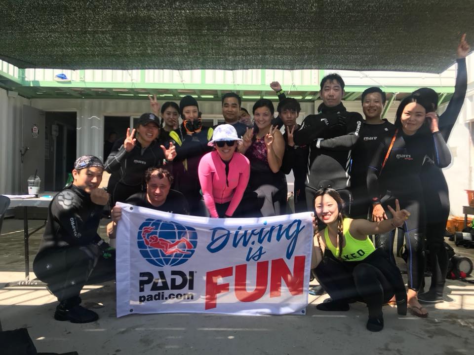
Entangled Help


Use the vertical tabs below to record any entangled animals you found of each type.

Ecosystem Other
ROCKY AND SAND

TAEJONGDAE GAMJIBEACH

rock

35.060049439321, 129.07637031229

SEAWORLD DIVE CENTER
HYE JUNG NAM
10
20.00
34
13.00
3.00
estimated
30.00
On
kilograms
I have debris data to report
Slight for waves 0.5 -1.25 meter high m2
meters
other
South Korea
City
BUSAN
Map Help


Dive Location

If you know your survey site coordinates, enter them manually in decimal degrees using WGS84 Map Datum. Use the minus sign for latitudes south of the equator and longitudes west of the Prime Meridian to 180 degrees.

If you do not know your survey site coordinates, click the “Map Location” tab to use the map to zoom into your survey site and drop the pin on the map to fall within your survey dive site in the water (not on land or the beach). Ensure you zoom in as much as possible to ensure data accuracy.
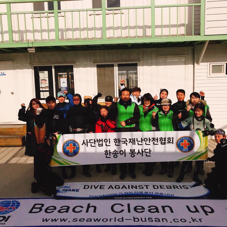
Entangled Help


Use the vertical tabs below to record any entangled animals you found of each type.

Ecosystem Other
ROCKY AND SAND

TAEJONGDAE GAMJIBEACH

rock

35.060502695679, 129.07625283198

CLEAN-UP WITH THE CLUB OF SAMSUNG ELECTRO-MECHANICS
SEAWORLD DIVE CENTER
HYE JUNG NAM
17
20.00
40
13.00
3.00
estimated
30.00
On
kilograms
I have debris data to report
Smooth (wavelets) for waves 0.1 - 0.5 meter high m2
meters
other
South Korea
City
BUSAN
Map Help


Dive Location

If you know your survey site coordinates, enter them manually in decimal degrees using WGS84 Map Datum. Use the minus sign for latitudes south of the equator and longitudes west of the Prime Meridian to 180 degrees.

If you do not know your survey site coordinates, click the “Map Location” tab to use the map to zoom into your survey site and drop the pin on the map to fall within your survey dive site in the water (not on land or the beach). Ensure you zoom in as much as possible to ensure data accuracy.
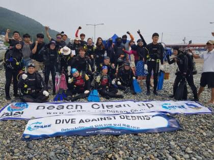
Entangled Help


Use the vertical tabs below to record any entangled animals you found of each type.

Ecosystem Other
ROCKY AND SAND

GWANGALLI BEACH

sand

35.1531696, 129.118666

AFTER FIREWORKS, WE CLEANED UP UNDERWATER TO REMOVE SOME PIECES OF PAPER.
Seaworld dive center
HYE JUNG NAM
14
5.00
30
13.00
5.00
estimated
200.00
On
kilograms
I have debris data to report
Calm (glassy to rippled) for waves 0 – 0.1 meter high m2
meters
other
South Korea
City
BUSAN
Map Help


Dive Location

If you know your survey site coordinates, enter them manually in decimal degrees using WGS84 Map Datum. Use the minus sign for latitudes south of the equator and longitudes west of the Prime Meridian to 180 degrees.

If you do not know your survey site coordinates, click the “Map Location” tab to use the map to zoom into your survey site and drop the pin on the map to fall within your survey dive site in the water (not on land or the beach). Ensure you zoom in as much as possible to ensure data accuracy.
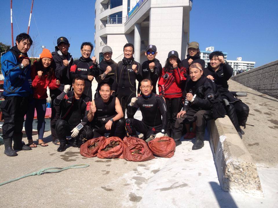
Entangled Help


Use the vertical tabs below to record any entangled animals you found of each type.

Ecosystem Other
SAND

Crystal Bay

8
7

-8.715681, 115.457371

sand
1
13
Raining
Indo Ocean Project
Arya
5
1
10.74
53
3.00
8.00
measured
700.00
1
Fishing line
Plastic fragments
Fishing nets
1
On
kilograms
I have debris data to report
Smooth (wavelets) for waves 0.1 - 0.5 meter high
1
1
1
m2
3
1
meters
coral reef
1
1
2
2
1
1
1
2
Indonesia
Map Help


Dive Location

If you know your survey site coordinates, enter them manually in decimal degrees using WGS84 Map Datum. Use the minus sign for latitudes south of the equator and longitudes west of the Prime Meridian to 180 degrees.

If you do not know your survey site coordinates, click the “Map Location” tab to use the map to zoom into your survey site and drop the pin on the map to fall within your survey dive site in the water (not on land or the beach). Ensure you zoom in as much as possible to ensure data accuracy.

Entangled Help


Use the vertical tabs below to record any entangled animals you found of each type.

Subscribe to