Sup Island - Jeju
5
1
rock
7
33.231771298156, 126.60020716444
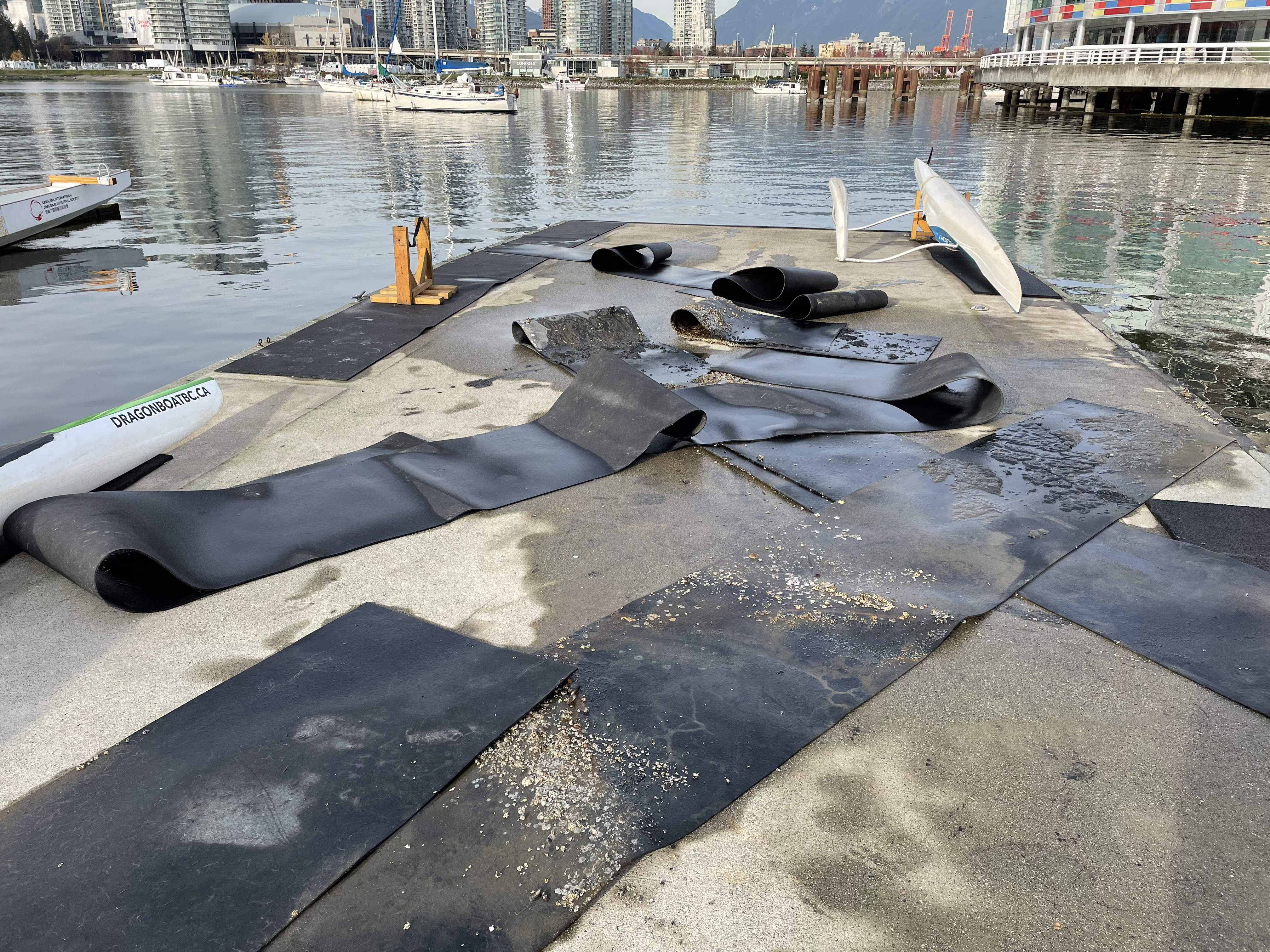
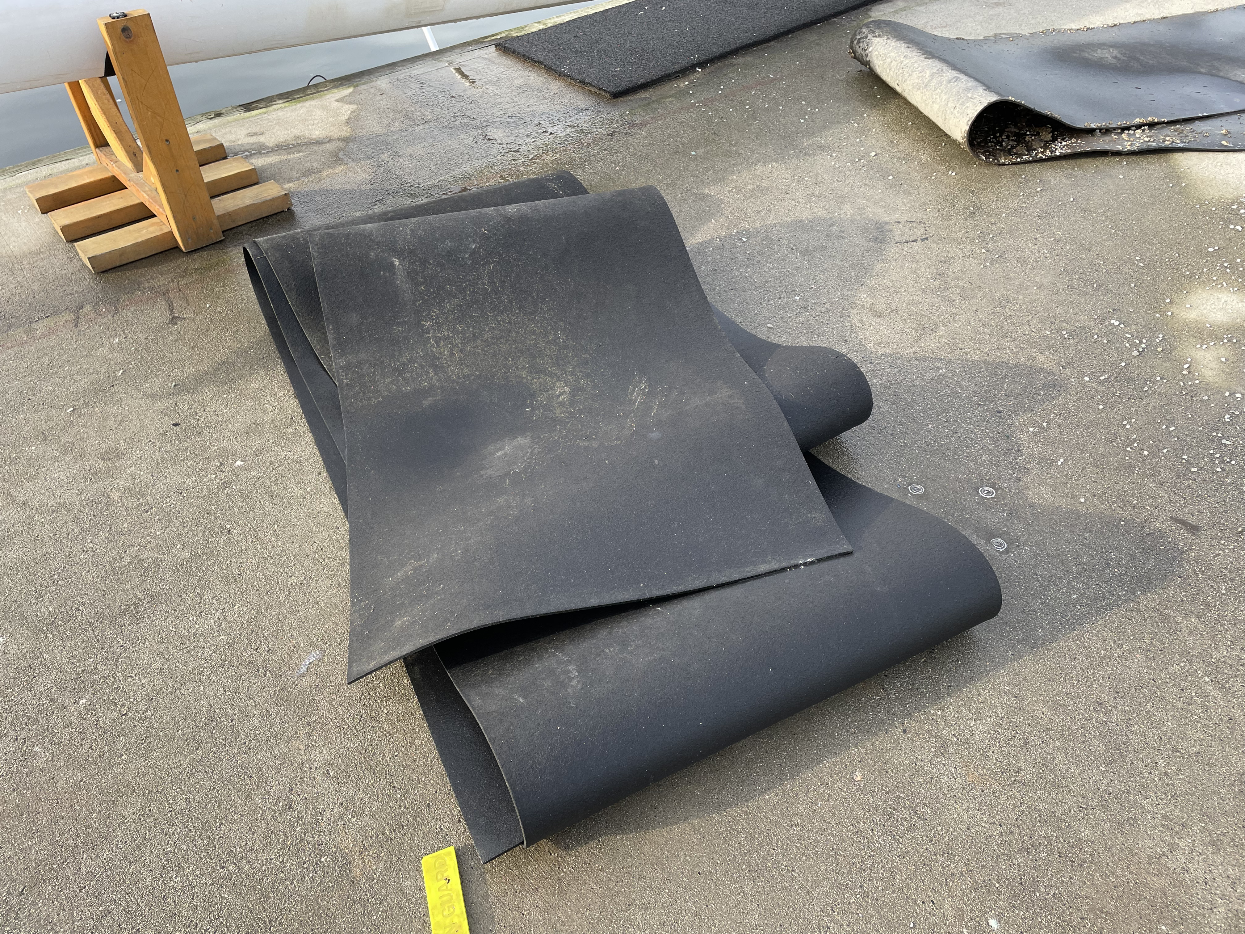
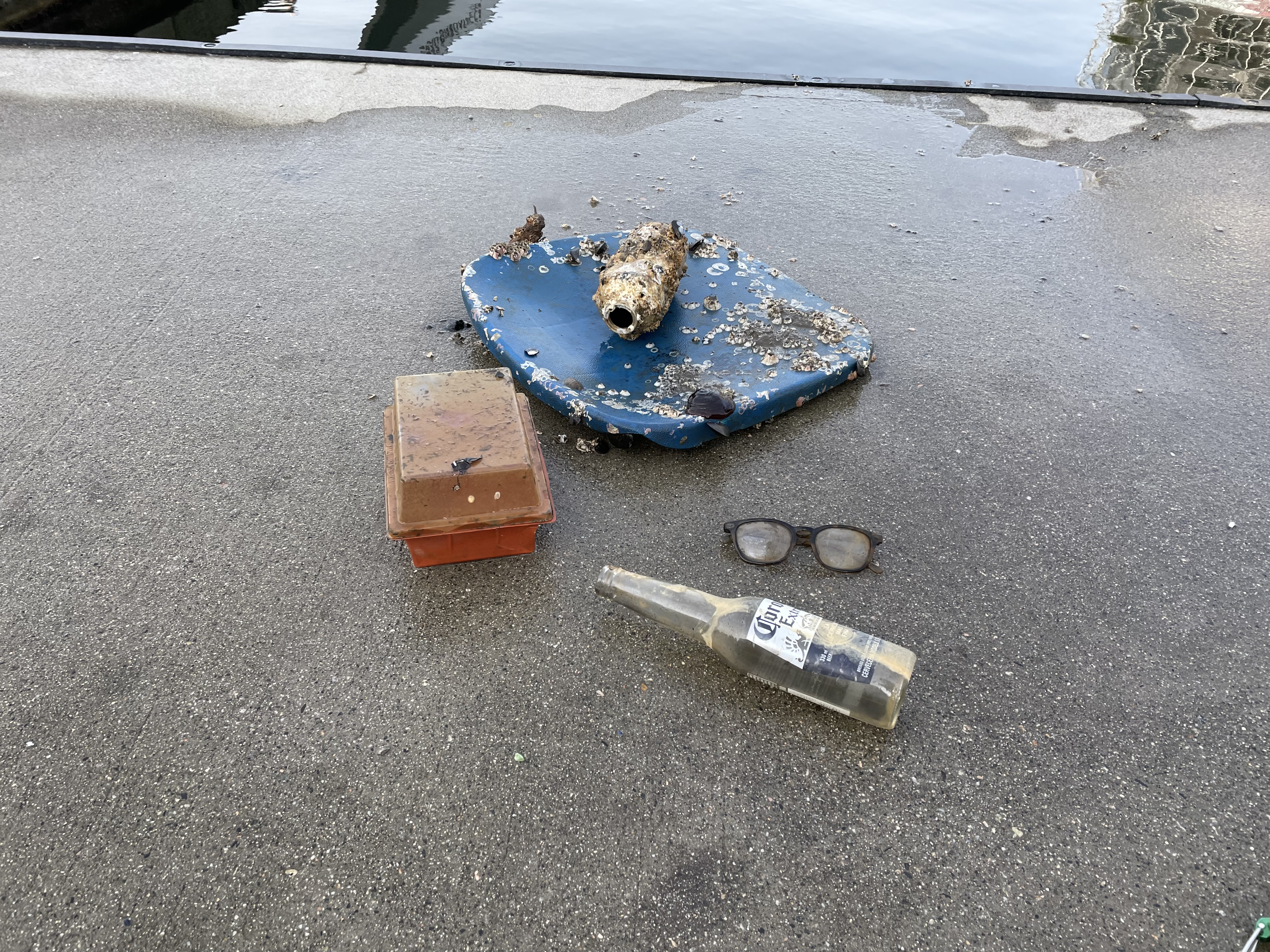
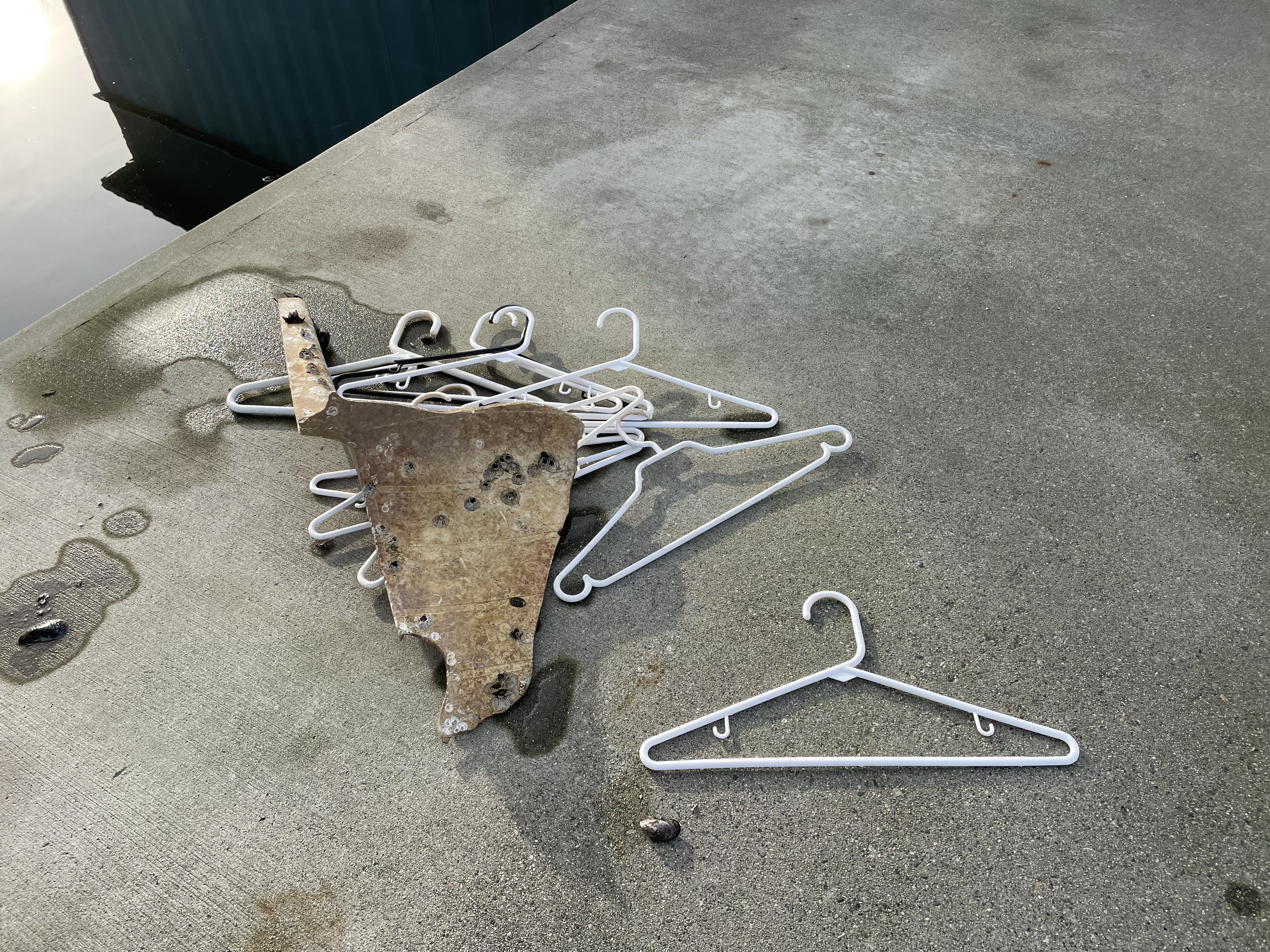
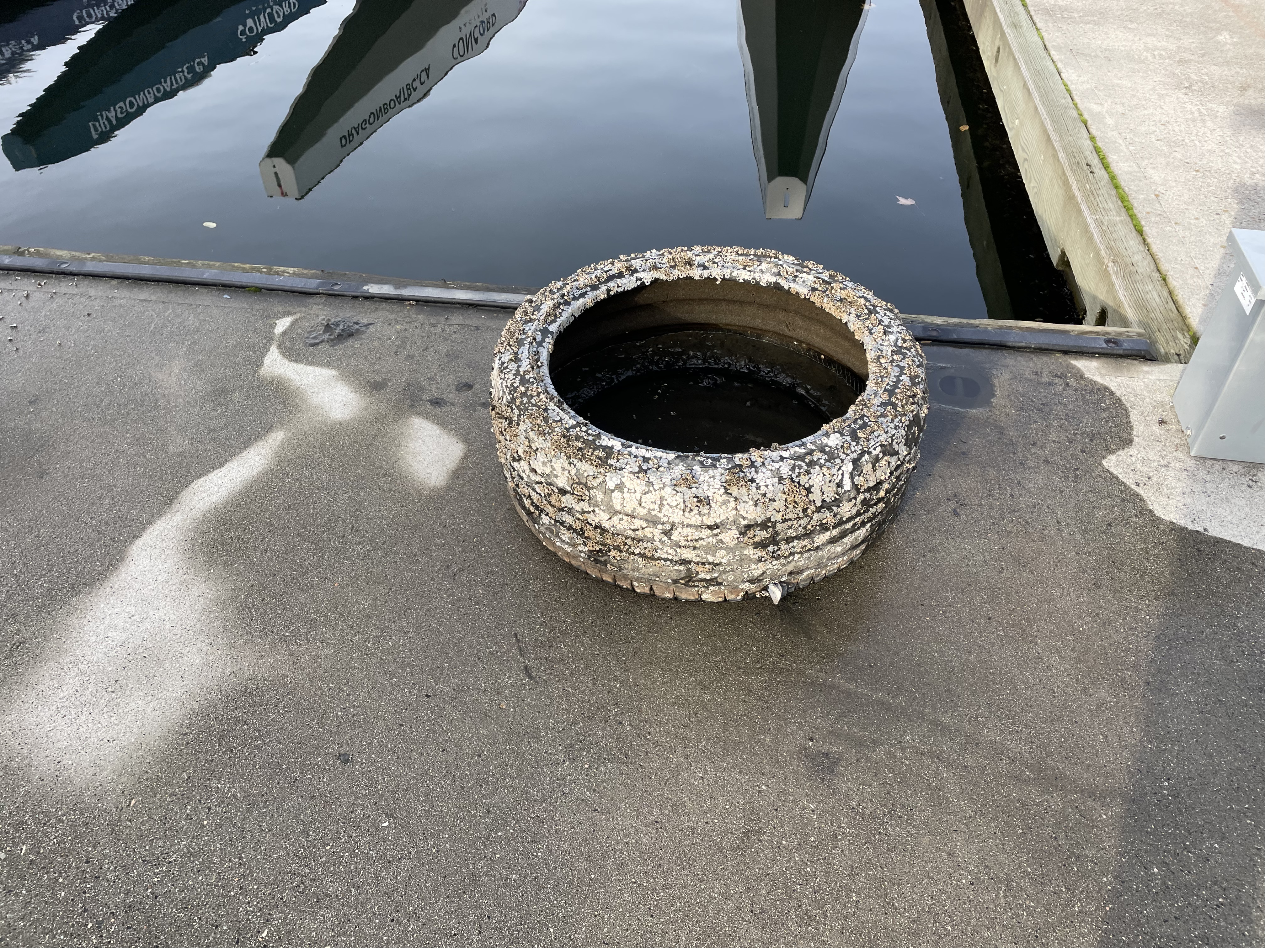
The dive site is located near a popular fishing spot. Additionally, this location is a very popular dive site so rubbish is frequently cleaned by divers.
Glove
Good conditions. Sunny.
Divus
Nathan Gilfillan
1
5
1
0.10
60
20.00
5.00
estimated
200.00
Fishing line
On
kilograms
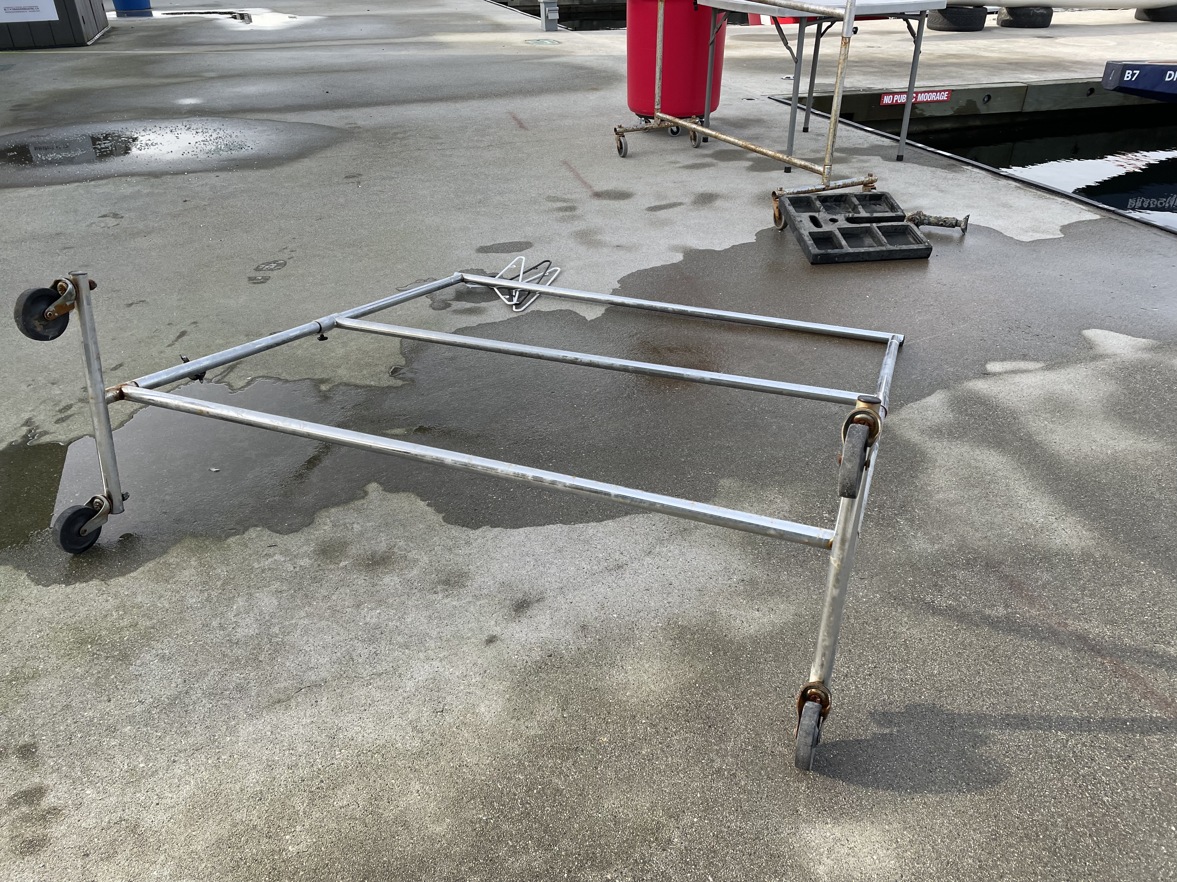
I have debris data to report
Calm (glassy to rippled) for waves 0 – 0.1 meter high
1
1
m2
meters
coral reef
1
1
State\Province
Jeju Island
City
Jeju
Map Help
Dive Location
If you know your survey site coordinates, enter them manually in decimal degrees using WGS84 Map Datum. Use the minus sign for latitudes south of the equator and longitudes west of the Prime Meridian to 180 degrees.
If you do not know your survey site coordinates, click the “Map Location” tab to use the map to zoom into your survey site and drop the pin on the map to fall within your survey dive site in the water (not on land or the beach). Ensure you zoom in as much as possible to ensure data accuracy.
Entangled Help