Menu

Sherwood Forest

0
0
0
0

-23.824714, 35.555404

0
0
0
rock
0
0
0
0
0
No
Concrete block anchor
NE moderate wind
Liquid Dive Adventures
Nadia
0
0
0
0
0
0
0
0
0
0
0
0
0
0
0
0
0
0
0
2
0
0
0
0
0
0
0
0
0
0
0
0
0
0
0
0
8.00
25
30.00
24.00
0
estimated
0
0
0
0
40.00
0
0
0
0
0
Concrete block too hravy to bring
0
On
kilograms
0
I have debris data to report
0
0
0
Moderate to rough for waves greater than 1.25 meters
0
0
0
0
0
0
0
m2
0
0
meters
rocky reef
0
0
0
0
0
0
0
0
0
1
0
0
1
0
0
0
0
0
0
0
0
0
0
0
0
0
0
0
0
Mozambique
State\Province
Inhambane
City
Tofo
Map Help


Dive Location

If you know your survey site coordinates, enter them manually in decimal degrees using WGS84 Map Datum. Use the minus sign for latitudes south of the equator and longitudes west of the Prime Meridian to 180 degrees.

If you do not know your survey site coordinates, click the “Map Location” tab to use the map to zoom into your survey site and drop the pin on the map to fall within your survey dive site in the water (not on land or the beach). Ensure you zoom in as much as possible to ensure data accuracy.

Entangled Help


Use the vertical tabs below to record any entangled animals you found of each type.

ADS77 - Nionplas

0
0
0

51.683065796435, 4.8761246115155

0
0
0
sand
0
0
0
0
0
None registerd
AA drink bottle
Rainy
0
0
0
0
0
0
0
0
0
0
0
0
0
0
0
0
0
0
0
Mega Diving
Frank van Beeck
0
0
0
0
0
0
0
0
0
0
0
0
0
0
0
0
0
0
0
2
1
0
0
0
0
0
0
0
0
0
0
0
0
0
1.00
40
8.00
2.00
0
estimated
0
0
1198.43
0
0
0
0
0
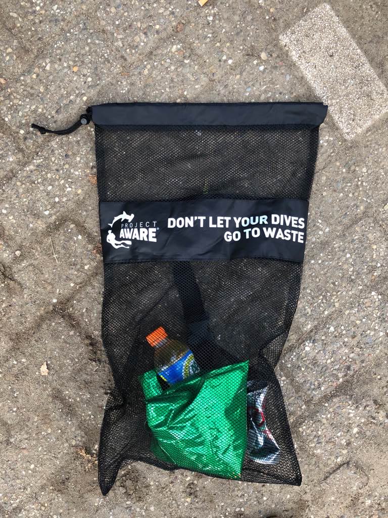
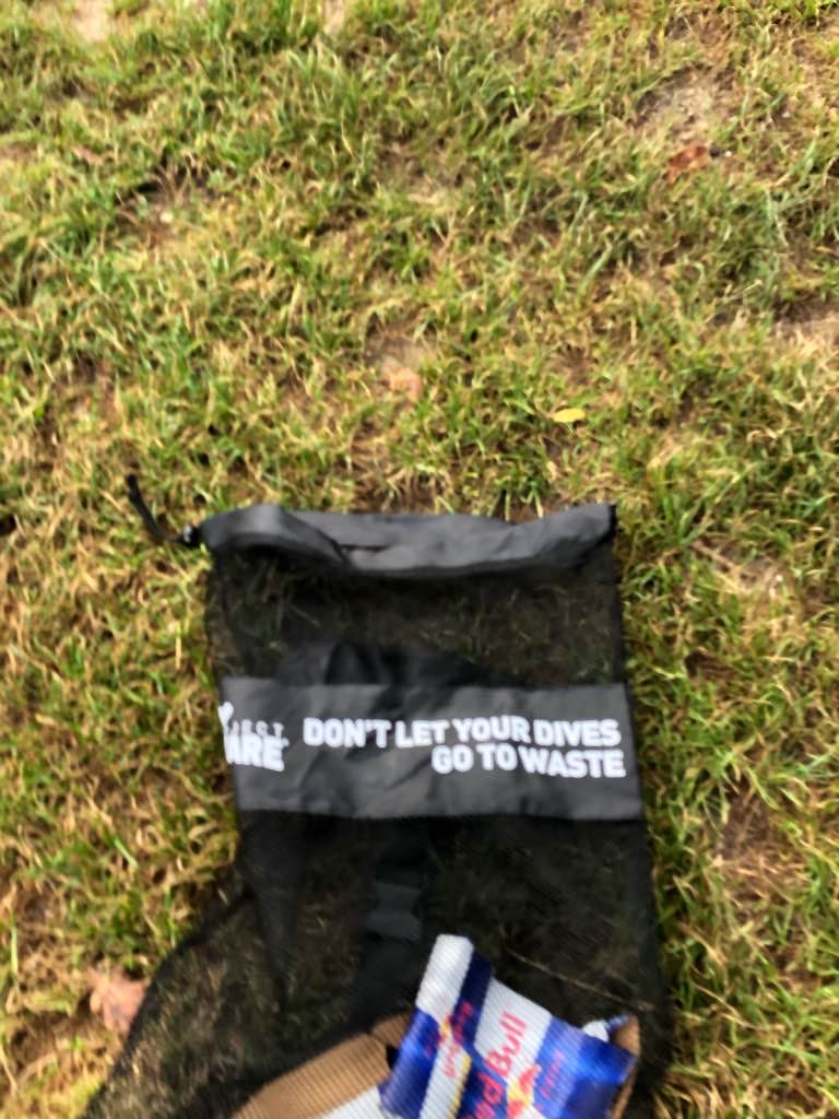
Red bull cans
Chipsbag
Cartboard packaging
0
On
kilograms
0
I have debris data to report
0
0
0
Smooth (wavelets) for waves 0.1 - 0.5 meter high
0
0
0
0
0
0
0
m2
0
0
meters
other
0
0
0
0
0
0
0
0
0
0
0
0
1
0
0
0
3
0
0
0
0
0
0
0
0
0
0
0
Netherlands
State\Province
Noord-Brabant
City
Raamsdonksveer
Map Help


Dive Location

If you know your survey site coordinates, enter them manually in decimal degrees using WGS84 Map Datum. Use the minus sign for latitudes south of the equator and longitudes west of the Prime Meridian to 180 degrees.

If you do not know your survey site coordinates, click the “Map Location” tab to use the map to zoom into your survey site and drop the pin on the map to fall within your survey dive site in the water (not on land or the beach). Ensure you zoom in as much as possible to ensure data accuracy.
Entangled Help


Use the vertical tabs below to record any entangled animals you found of each type.

ADS598 - Caldè Fornaci

2
4
0

45.948238682946, 8.6609318345404

1
0
0
silt
0
1
1
0
0
Party grilled
Electrical cabinet
Thunderstorm
0
0
0
0
0
0
0
0
0
0
0
0
0
0
0
0
0
0
0
0
Acqua Club Varese
Luca Giovannini
0
0
0
2
0
0
0
0
0
0
0
0
0
0
1
0
0
0
0
9
0
0
0
0
0
0
0
0
0
0
0
0
0
0
19.50
48
30.00
5.00
0
measured
0
0
3000.00
0
0
1
0
0
1
On
kilograms
0
I have debris data to report
21
0
0
Calm (glassy to rippled) for waves 0 – 0.1 meter high
0
0
1
0
0
0
0
m2
0
3
meters
other
4
0
0
0
1
0
0
0
0
1
0
0
1
0
0
0
4
0
0
0
0
18
0
0
0
0
0
0
Italy
State\Province
Varese
City
Varese
Map Help


Dive Location

If you know your survey site coordinates, enter them manually in decimal degrees using WGS84 Map Datum. Use the minus sign for latitudes south of the equator and longitudes west of the Prime Meridian to 180 degrees.

If you do not know your survey site coordinates, click the “Map Location” tab to use the map to zoom into your survey site and drop the pin on the map to fall within your survey dive site in the water (not on land or the beach). Ensure you zoom in as much as possible to ensure data accuracy.
Entangled Help


Use the vertical tabs below to record any entangled animals you found of each type.

Ecosystem Other
Lake

ADS111 - North Star

0
0
0
0

25.010285, -80.373301

0
0
0
sand
0
0
0
1
0
Fishing
Rainbow Reef Dive Center/FKNMS
Brian
0
0
0
0
0
0
0
0
0
0
0
0
0
0
0
0
0
0
0
1
0
0
0
0
0
0
0
0
0
0
0
0
0
0
0
0
-0.50
45
30.00
20.00
0
estimated
0
0
0
0
12924.10
0
0
0
0
0
0
On
pounds
0
I have debris data to report
0
0
0
Calm (glassy to rippled) for waves 0 – 0.1 meter high
0
0
0
0
0
0
0
ft2
0
0
feet
coral reef
0
0
0
0
0
0
0
0
0
0
0
0
0
0
0
1
0
0
0
0
0
0
0
0
0
0
0
0
0
United States
State\Province
Florida
City
Key Largo
Map Help


Dive Location

If you know your survey site coordinates, enter them manually in decimal degrees using WGS84 Map Datum. Use the minus sign for latitudes south of the equator and longitudes west of the Prime Meridian to 180 degrees.

If you do not know your survey site coordinates, click the “Map Location” tab to use the map to zoom into your survey site and drop the pin on the map to fall within your survey dive site in the water (not on land or the beach). Ensure you zoom in as much as possible to ensure data accuracy.

Entangled Help


Use the vertical tabs below to record any entangled animals you found of each type.

Fire Coral Cave

0
0
0
0

25.008018, -80.377531

0
0
0
sand
0
0
0
0
0
Boating
Rainbow Reef Dive Center/FKNMS
Maddie
0
0
0
0
0
0
0
0
0
0
0
0
0
0
0
0
0
0
0
1
0
0
0
0
0
0
0
0
0
0
0
0
0
0
0
0
20.00
45
30.00
20.00
0
estimated
0
1
0
0
32094.00
0
0
0
0
0
0
On
pounds
0
I have debris data to report
0
0
0
Calm (glassy to rippled) for waves 0 – 0.1 meter high
0
0
0
0
0
0
0
ft2
0
0
feet
coral reef
0
0
0
0
0
0
0
0
0
0
0
0
0
0
0
0
0
0
0
0
0
0
0
0
0
0
0
0
0
United States
State\Province
Florida
City
Key Largo
Map Help


Dive Location

If you know your survey site coordinates, enter them manually in decimal degrees using WGS84 Map Datum. Use the minus sign for latitudes south of the equator and longitudes west of the Prime Meridian to 180 degrees.

If you do not know your survey site coordinates, click the “Map Location” tab to use the map to zoom into your survey site and drop the pin on the map to fall within your survey dive site in the water (not on land or the beach). Ensure you zoom in as much as possible to ensure data accuracy.

Entangled Help


Use the vertical tabs below to record any entangled animals you found of each type.

ADS216 - USCG Duane

0
0
0
0

24.98966667, -80.382

0
0
0
sand
0
0
0
3
0
Fishing
Rainbow Reef Dive Center/FKNMS
Maddie
0
0
0
0
0
0
0
0
0
0
0
0
0
0
0
0
0
0
0
1
0
0
0
0
0
0
0
0
0
0
0
0
0
0
0
0
1.00
40
100.00
70.00
0
estimated
0
0
0
1
34111.00
0
0
0
0
0
0
On
pounds
0
I have debris data to report
0
0
0
Calm (glassy to rippled) for waves 0 – 0.1 meter high
0
0
0
0
0
0
0
ft2
0
0
feet
coral reef
0
0
0
0
0
0
0
0
0
0
0
0
0
0
0
0
0
0
0
0
0
0
0
0
0
0
0
0
0
United States
State\Province
Florida
City
Key Largo
Map Help


Dive Location

If you know your survey site coordinates, enter them manually in decimal degrees using WGS84 Map Datum. Use the minus sign for latitudes south of the equator and longitudes west of the Prime Meridian to 180 degrees.

If you do not know your survey site coordinates, click the “Map Location” tab to use the map to zoom into your survey site and drop the pin on the map to fall within your survey dive site in the water (not on land or the beach). Ensure you zoom in as much as possible to ensure data accuracy.

Entangled Help


Use the vertical tabs below to record any entangled animals you found of each type.

Minnow Cave

0
1
0
1

25.131619, -80.292778

0
0
0
sand
0
0
0
0
0
Lobstering
Rainbow Reef Dive Center/FKNMS
Jennie W
0
0
0
0
0
0
0
0
0
0
0
0
0
0
0
0
0
0
0
1
0
0
0
0
0
0
0
0
0
0
0
0
0
0
0
0
1.00
45
25.00
15.00
0
estimated
0
0
0
0
20760.00
0
0
0
0
0
0
On
pounds
0
I have debris data to report
0
0
0
Calm (glassy to rippled) for waves 0 – 0.1 meter high
0
0
0
0
0
0
0
ft2
0
0
feet
coral reef
0
0
0
0
0
0
0
0
0
0
0
0
0
0
0
0
0
0
0
0
0
0
0
0
0
0
0
0
0
United States
State\Province
Florida
City
Key Largo
Map Help


Dive Location

If you know your survey site coordinates, enter them manually in decimal degrees using WGS84 Map Datum. Use the minus sign for latitudes south of the equator and longitudes west of the Prime Meridian to 180 degrees.

If you do not know your survey site coordinates, click the “Map Location” tab to use the map to zoom into your survey site and drop the pin on the map to fall within your survey dive site in the water (not on land or the beach). Ensure you zoom in as much as possible to ensure data accuracy.

Entangled Help


Use the vertical tabs below to record any entangled animals you found of each type.

ADS111 - North Star

0
0
0
0

25.010285, -80.373301

0
0
0
sand
0
0
0
2
0
Fishing
Rainbow Reef Dive Center/FKNMS
Maddie
0
0
0
0
0
0
0
0
0
0
0
0
0
0
0
0
0
0
0
1
0
0
0
0
0
0
0
0
0
0
0
0
0
0
0
0
1.00
45
30.00
20.00
0
estimated
0
0
0
2
23364.70
0
0
0
0
0
0
On
pounds
0
I have debris data to report
0
0
0
Calm (glassy to rippled) for waves 0 – 0.1 meter high
0
0
0
0
0
0
0
ft2
0
0
feet
coral reef
0
0
0
0
0
0
0
0
0
0
0
0
0
0
0
0
0
0
0
0
0
0
0
0
0
0
0
0
0
United States
State\Province
Florida
City
Key Largo
Map Help


Dive Location

If you know your survey site coordinates, enter them manually in decimal degrees using WGS84 Map Datum. Use the minus sign for latitudes south of the equator and longitudes west of the Prime Meridian to 180 degrees.

If you do not know your survey site coordinates, click the “Map Location” tab to use the map to zoom into your survey site and drop the pin on the map to fall within your survey dive site in the water (not on land or the beach). Ensure you zoom in as much as possible to ensure data accuracy.

Entangled Help


Use the vertical tabs below to record any entangled animals you found of each type.

ADS219 - Pickles Reef

0
0
0
0

24.986848, -80.414711

0
0
0
sand
0
0
0
3
0
Fishing
Rainbow Reef Dive Center/FKNMS
Maddie
0
0
0
0
0
0
0
0
1
0
0
0
0
0
0
0
0
0
0
1
0
0
0
0
0
0
0
0
0
0
0
0
0
0
0
0
0.50
45
30.00
20.00
0
estimated
0
0
0
1
3177.00
0
0
0
0
0
0
On
pounds
0
I have debris data to report
0
0
0
Calm (glassy to rippled) for waves 0 – 0.1 meter high
0
0
0
0
0
0
0
ft2
0
0
feet
coral reef
0
0
0
0
0
0
0
0
0
0
0
0
0
0
0
0
0
0
0
0
0
0
0
0
0
0
0
0
0
United States
State\Province
Florida
City
Key Largo
Map Help


Dive Location

If you know your survey site coordinates, enter them manually in decimal degrees using WGS84 Map Datum. Use the minus sign for latitudes south of the equator and longitudes west of the Prime Meridian to 180 degrees.

If you do not know your survey site coordinates, click the “Map Location” tab to use the map to zoom into your survey site and drop the pin on the map to fall within your survey dive site in the water (not on land or the beach). Ensure you zoom in as much as possible to ensure data accuracy.

Entangled Help


Use the vertical tabs below to record any entangled animals you found of each type.

ADS216 - USCG Duane

0
0
0
0

24.98966667, -80.382

0
0
0
sand
0
0
0
10
0
Rainbow Reef Dive Center/FKNMS
Grace
0
0
0
0
0
0
0
0
0
0
0
0
0
0
0
0
0
0
0
1
0
0
0
0
0
0
0
0
0
0
0
0
0
0
0
0
0.50
40
100.00
70.00
0
estimated
0
0
0
0
34111.00
0
0
0
0
0
0
On
pounds
0
I have debris data to report
0
0
0
Calm (glassy to rippled) for waves 0 – 0.1 meter high
0
0
0
0
0
0
0
ft2
0
0
feet
coral reef
0
0
0
0
0
0
0
0
0
0
0
0
0
0
0
0
0
0
0
0
0
0
0
0
0
0
0
0
0
United States
State\Province
Florida
City
Key Largo
Map Help


Dive Location

If you know your survey site coordinates, enter them manually in decimal degrees using WGS84 Map Datum. Use the minus sign for latitudes south of the equator and longitudes west of the Prime Meridian to 180 degrees.

If you do not know your survey site coordinates, click the “Map Location” tab to use the map to zoom into your survey site and drop the pin on the map to fall within your survey dive site in the water (not on land or the beach). Ensure you zoom in as much as possible to ensure data accuracy.

Entangled Help


Use the vertical tabs below to record any entangled animals you found of each type.

Subscribe to