ADS557 - Muravandhoo House Reef
rock
 Maldives
5.6060130991471, 72.951954603195
DURING THE GARBAGE DHONI LOADING AND UNLOADING OPERATIONS, SOME OBJECTS HAVE FALLEN INTO THE OCEAN
THE PART OF JETTY
temperature around 32°C, sunny, no precipitation.
6
1
1
Dock Bumper
WOOD FENCE
PART OF THE SUPPLY JETTY (WOOD MADEN)
Best Dives Muravandhoo
Aura Torres
6
280.00
138
6.80
3.20
estimated
35.00
2
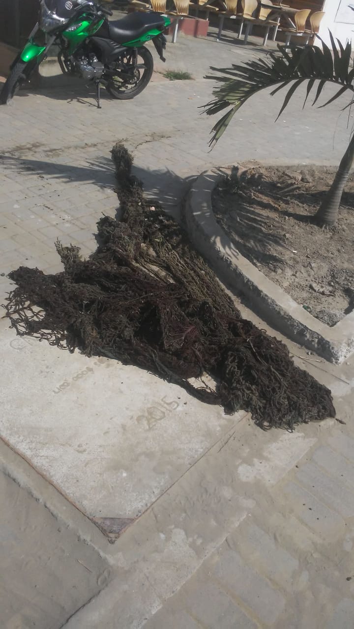
PLASTIC BAGS
FISHING LINES
TRAPPING BANDS
On
kilograms
I have debris data to report
2
Calm (glassy to rippled) for waves 0 – 0.1 meter high
3
m2
meters
rocky reef
1
2
7
2
Map Help
Dive Location
If you know your survey site coordinates, enter them manually in decimal degrees using WGS84 Map Datum. Use the minus sign for latitudes south of the equator and longitudes west of the Prime Meridian to 180 degrees.
If you do not know your survey site coordinates, click the “Map Location” tab to use the map to zoom into your survey site and drop the pin on the map to fall within your survey dive site in the water (not on land or the beach). Ensure you zoom in as much as possible to ensure data accuracy.
Entangled Help