Menu

The Pemuteran Jetty

100
0
1
4
0
0
sand
0
0
0
0
0

-8.1433349043429, 114.66082572425

N/A
Many new glass wine bottles
Rainy Season
0
0
0
0
0
0
0
0
0
0
0
0
0
0
0
0
0
0
0
0
Abyss Ocean World
Daniel Stilwell
0
0
0
15
0
0
0
0
0
10
3
0
5
0
10
0
0
0
0
3
0
0
0
0
40
0
0
4
0
0
0
0
0
0
10.00
60
16.00
3.00
1
estimated
0
0
738.08
0
0
0
0
0
Diapers
Food Wrapper
Plastic Bags
0
On
kilograms
0
I have debris data to report
2
0
0
Calm (glassy to rippled) for waves 0 – 0.1 meter high
0
0
0
0
0
0
0
m2
0
0
meters
seagrass
0
0
0
0
0
0
0
0
0
5
0
0
0
0
0
0
0
0
0
0
0
0
0
0
0
0
0
0
Indonesia
State\Province
Bali
City
Pemuteran
Map Help


Dive Location

If you know your survey site coordinates, enter them manually in decimal degrees using WGS84 Map Datum. Use the minus sign for latitudes south of the equator and longitudes west of the Prime Meridian to 180 degrees.

If you do not know your survey site coordinates, click the “Map Location” tab to use the map to zoom into your survey site and drop the pin on the map to fall within your survey dive site in the water (not on land or the beach). Ensure you zoom in as much as possible to ensure data accuracy.

Entangled Help


Use the vertical tabs below to record any entangled animals you found of each type.

ADS525 - Padang Bai Jetty

60
178
3

-8.5075304, 115.5191798

silt
3
2
4
Towel
Sunny
AquaMarine Diving - Bali
1
50
6
1
3
2
9
1
18
1
1
7.30
60
15.40
5.90
4
measured
5
3004.00
Palastic Fragments
Food Wrapper
Plastic cutleries
On
kilograms
I have debris data to report
1
Calm (glassy to rippled) for waves 0 – 0.1 meter high
1
m2
1
meters
rocky reef
1
4
1
Indonesia
State\Province
Bali
City
Denpasar
Map Help


Dive Location

If you know your survey site coordinates, enter them manually in decimal degrees using WGS84 Map Datum. Use the minus sign for latitudes south of the equator and longitudes west of the Prime Meridian to 180 degrees.

If you do not know your survey site coordinates, click the “Map Location” tab to use the map to zoom into your survey site and drop the pin on the map to fall within your survey dive site in the water (not on land or the beach). Ensure you zoom in as much as possible to ensure data accuracy.

Entangled Help


Use the vertical tabs below to record any entangled animals you found of each type.

ADS352 - Meno Slope

3
0
0
0

-8.35026, 116.0511

0
0
0
coral
0
0
0
0
0
Rainy
Gili Shark Conservation
Katon
0
0
0
0
0
0
0
0
0
0
0
0
0
0
1
0
0
0
0
5
0
0
0
0
4
0
0
0
0
0
0
0
0
0
0
0
1.00
44
25.00
12.00
0
estimated
0
0
0
0
8562.00
0
0
0
0
0
0
On
kilograms
0
I have debris data to report
0
0
0
Calm (glassy to rippled) for waves 0 – 0.1 meter high
13
0
0
0
0
0
0
m2
0
0
meters
coral reef
0
0
0
0
0
0
0
0
0
0
0
0
0
0
0
0
0
0
0
0
0
0
0
0
0
0
0
0
0
Indonesia
State\Province
Lombok
City
Gili Meno
Map Help


Dive Location

If you know your survey site coordinates, enter them manually in decimal degrees using WGS84 Map Datum. Use the minus sign for latitudes south of the equator and longitudes west of the Prime Meridian to 180 degrees.

If you do not know your survey site coordinates, click the “Map Location” tab to use the map to zoom into your survey site and drop the pin on the map to fall within your survey dive site in the water (not on land or the beach). Ensure you zoom in as much as possible to ensure data accuracy.

Entangled Help


Use the vertical tabs below to record any entangled animals you found of each type.

Site 6 (17-03-2020)

1
coral

-17.7873557, 178.7306635

Storm - Heavy Rain & Winds
GVI
GVI
3
0.30
37
11.00
5.00
estimated
100.00
On
kilograms
I have debris data to report
Slight for waves 0.5 -1.25 meter high m2
meters
coral reef
Fiji
State\Province
Lomaiviti
City
Caqalai
Map Help


Dive Location

If you know your survey site coordinates, enter them manually in decimal degrees using WGS84 Map Datum. Use the minus sign for latitudes south of the equator and longitudes west of the Prime Meridian to 180 degrees.

If you do not know your survey site coordinates, click the “Map Location” tab to use the map to zoom into your survey site and drop the pin on the map to fall within your survey dive site in the water (not on land or the beach). Ensure you zoom in as much as possible to ensure data accuracy.
Entangled Help


Use the vertical tabs below to record any entangled animals you found of each type.

Sunrise (12-03-2020)

sand

-17.7873557, 178.7306635

Rain & Moderate NE Winds
GVI
GVI
3
0.00
40
7.00
5.00
measured
100.00
On
kilograms
Our Survey Site was free of debris
Slight for waves 0.5 -1.25 meter high m2
meters
coral reef
Fiji
State\Province
Lomaiviti
City
Caqalai
Map Help


Dive Location

If you know your survey site coordinates, enter them manually in decimal degrees using WGS84 Map Datum. Use the minus sign for latitudes south of the equator and longitudes west of the Prime Meridian to 180 degrees.

If you do not know your survey site coordinates, click the “Map Location” tab to use the map to zoom into your survey site and drop the pin on the map to fall within your survey dive site in the water (not on land or the beach). Ensure you zoom in as much as possible to ensure data accuracy.
Entangled Help


Use the vertical tabs below to record any entangled animals you found of each type.

House Reef (12-03-2020)

sand

-17.7873557, 178.7306635

Rain & Moderate NE Winds
GVI
Tuks
7
0.00
40
7.00
5.00
measured
100.00
On
kilograms
Our Survey Site was free of debris
Slight for waves 0.5 -1.25 meter high m2
meters
coral reef
Fiji
State\Province
Lomaiviti
City
Caqalai
Map Help


Dive Location

If you know your survey site coordinates, enter them manually in decimal degrees using WGS84 Map Datum. Use the minus sign for latitudes south of the equator and longitudes west of the Prime Meridian to 180 degrees.

If you do not know your survey site coordinates, click the “Map Location” tab to use the map to zoom into your survey site and drop the pin on the map to fall within your survey dive site in the water (not on land or the beach). Ensure you zoom in as much as possible to ensure data accuracy.
Entangled Help


Use the vertical tabs below to record any entangled animals you found of each type.

Bayahibe CDTC site

51.320649306338, -2.5423650909239

sand
Testing app
Test
1
0.00
30
3.00
1.00
measured
10568.90
On
kilograms
Our Survey Site was free of debris
Calm (glassy to rippled) for waves 0 – 0.1 meter high m2
meters
coral reef
United Kingdom
Map Help


Dive Location

If you know your survey site coordinates, enter them manually in decimal degrees using WGS84 Map Datum. Use the minus sign for latitudes south of the equator and longitudes west of the Prime Meridian to 180 degrees.

If you do not know your survey site coordinates, click the “Map Location” tab to use the map to zoom into your survey site and drop the pin on the map to fall within your survey dive site in the water (not on land or the beach). Ensure you zoom in as much as possible to ensure data accuracy.

Entangled Help


Use the vertical tabs below to record any entangled animals you found of each type.

Test

51.320732119541, -2.5424442160898

sand
1
0.00
30
3.00
1.00
measured
995.13
On
kilograms
Our Survey Site was free of debris
Calm (glassy to rippled) for waves 0 – 0.1 meter high m2
meters
coral reef
Afghanistan
Map Help


Dive Location

If you know your survey site coordinates, enter them manually in decimal degrees using WGS84 Map Datum. Use the minus sign for latitudes south of the equator and longitudes west of the Prime Meridian to 180 degrees.

If you do not know your survey site coordinates, click the “Map Location” tab to use the map to zoom into your survey site and drop the pin on the map to fall within your survey dive site in the water (not on land or the beach). Ensure you zoom in as much as possible to ensure data accuracy.
Entangled Help


Use the vertical tabs below to record any entangled animals you found of each type.

Puerto Madryn

-42.7862, -64.988162

sand
10
3
Pocos vientos del este
Calimba
Calimba
2
3
2
4
2.00
30
2.00
2.00
estimated
10.00
On
kilograms
I have debris data to report
Calm (glassy to rippled) for waves 0 – 0.1 meter high m2
meters
rocky reef
Argentina
State\Province
Chubut
City
Puerto Madryn
Map Help


Dive Location

If you know your survey site coordinates, enter them manually in decimal degrees using WGS84 Map Datum. Use the minus sign for latitudes south of the equator and longitudes west of the Prime Meridian to 180 degrees.

If you do not know your survey site coordinates, click the “Map Location” tab to use the map to zoom into your survey site and drop the pin on the map to fall within your survey dive site in the water (not on land or the beach). Ensure you zoom in as much as possible to ensure data accuracy.

Entangled Help


Use the vertical tabs below to record any entangled animals you found of each type.

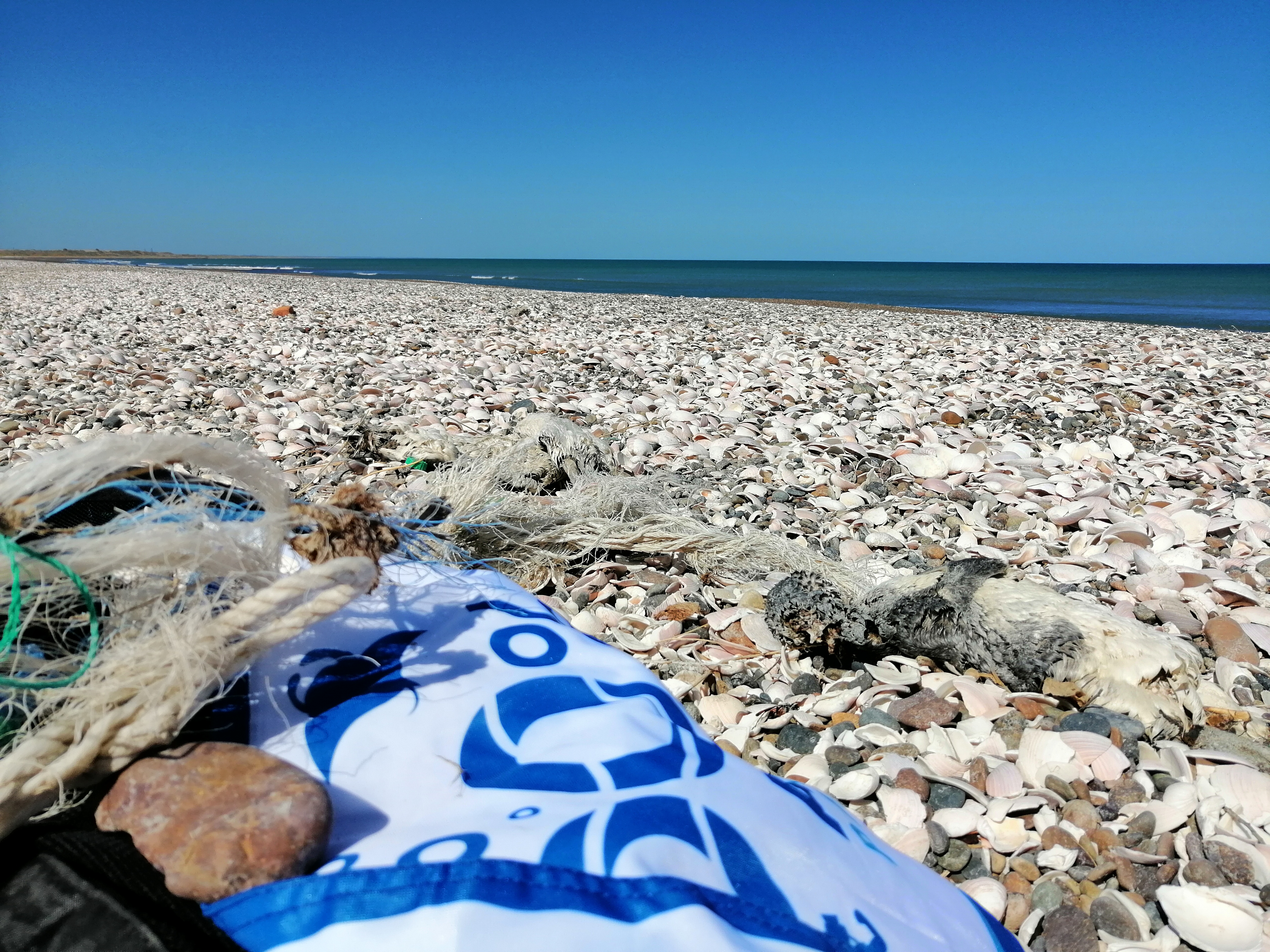
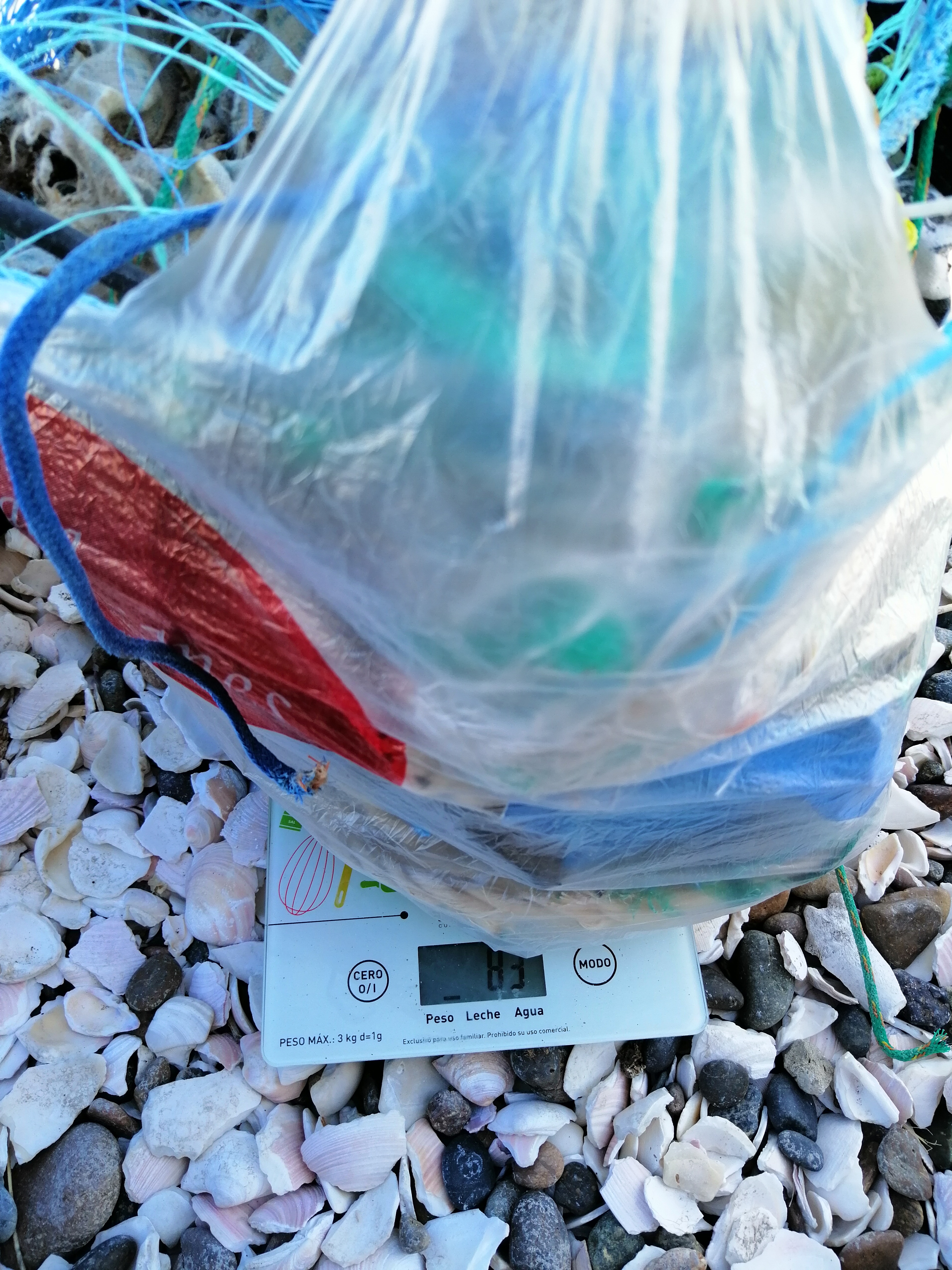
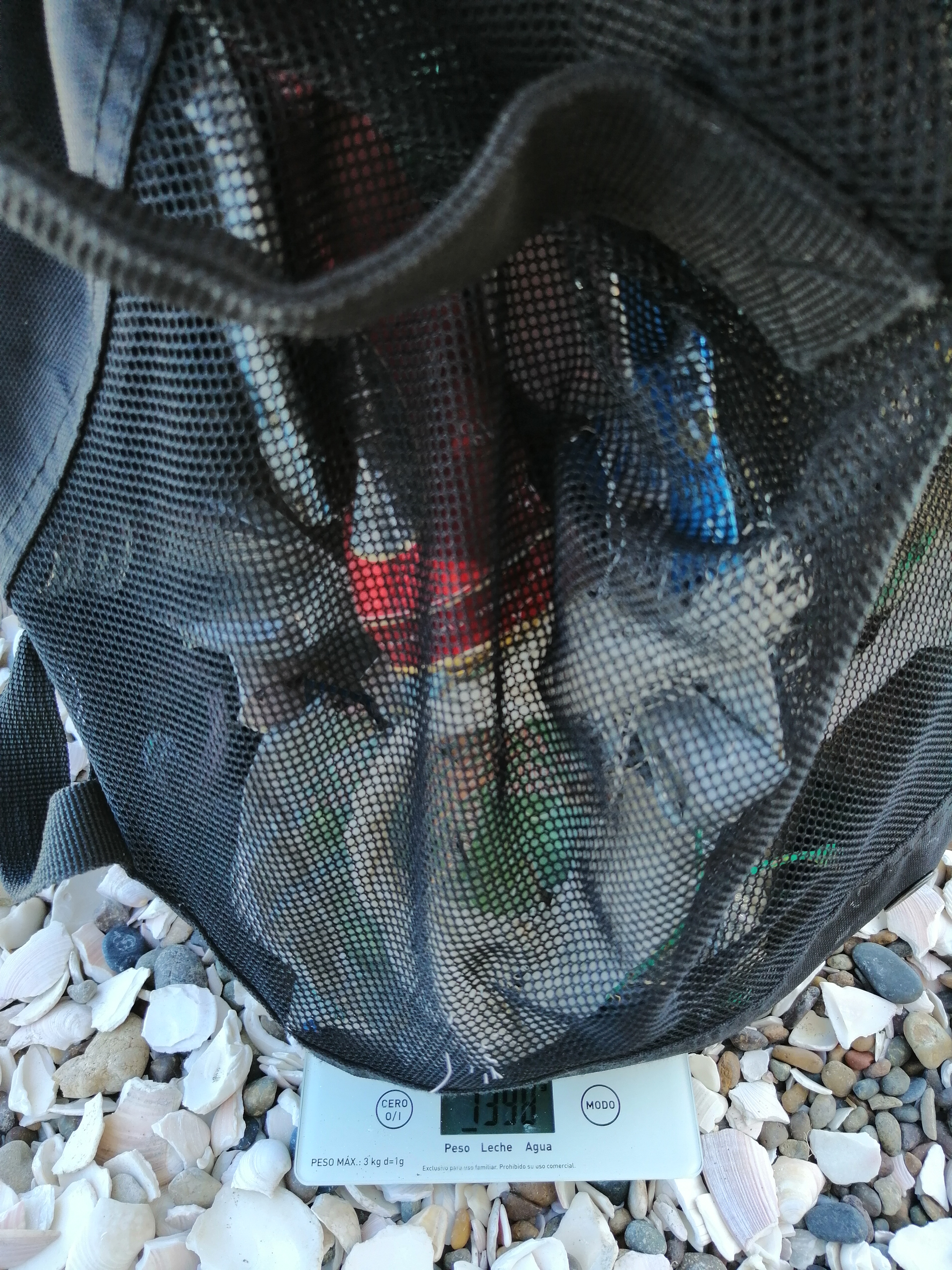
San Antonio del Este

10

-40.817864, -64.780724

gravel
3
20
Clima calmado, poco movimiento
Calimba Buceando por America
Calimba
3
2
4
-7
12.00
32
2.00
2.00
estimated
3.00
On
kilograms
I have debris data to report
Smooth (wavelets) for waves 0.1 - 0.5 meter high
Pinguinos
3
Pinguinos
m2
Dead
meters
rocky reef
6
2
Argentina
State\Province
Rio Negro
City
San Antonio del Este
Map Help


Dive Location

If you know your survey site coordinates, enter them manually in decimal degrees using WGS84 Map Datum. Use the minus sign for latitudes south of the equator and longitudes west of the Prime Meridian to 180 degrees.

If you do not know your survey site coordinates, click the “Map Location” tab to use the map to zoom into your survey site and drop the pin on the map to fall within your survey dive site in the water (not on land or the beach). Ensure you zoom in as much as possible to ensure data accuracy.

Entangled Help


Use the vertical tabs below to record any entangled animals you found of each type.

Subscribe to