KM Markisa’s Mooring
240
0
2
-8.1437, 114.6586
0
0
0
sand
0
289
0
4
0
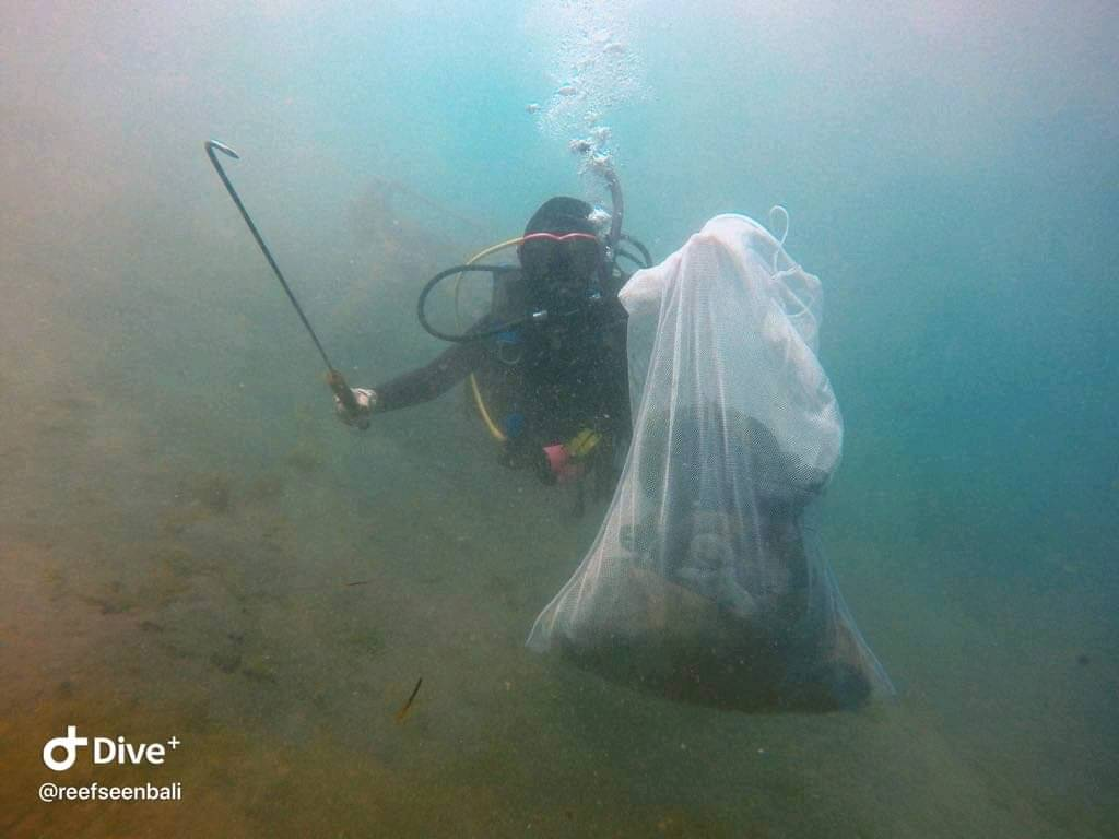
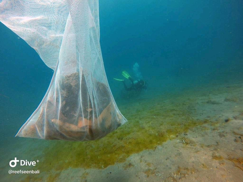
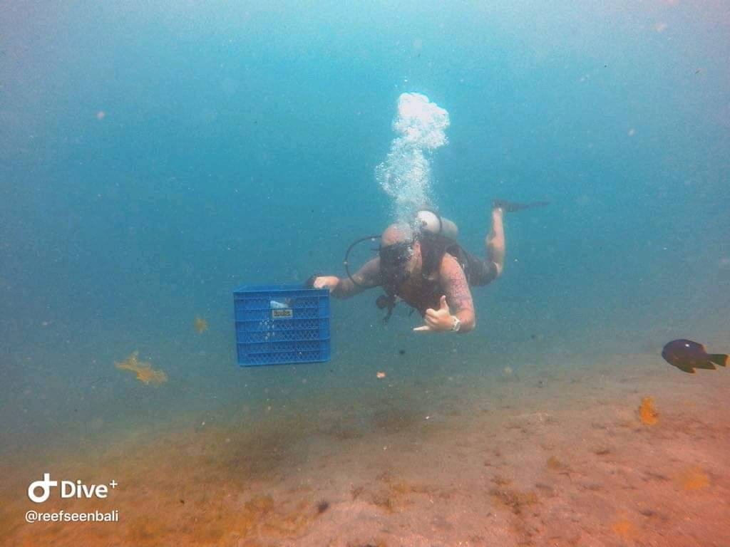
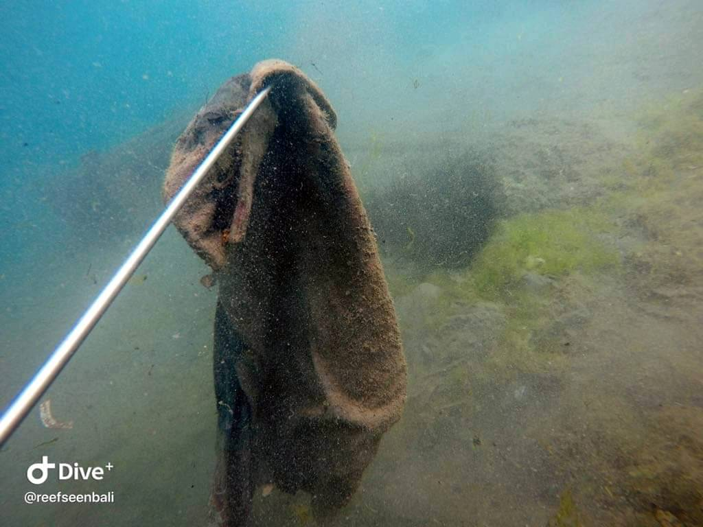
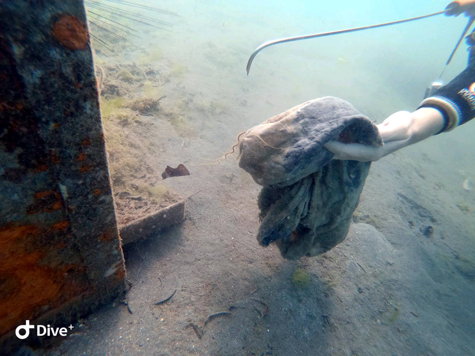
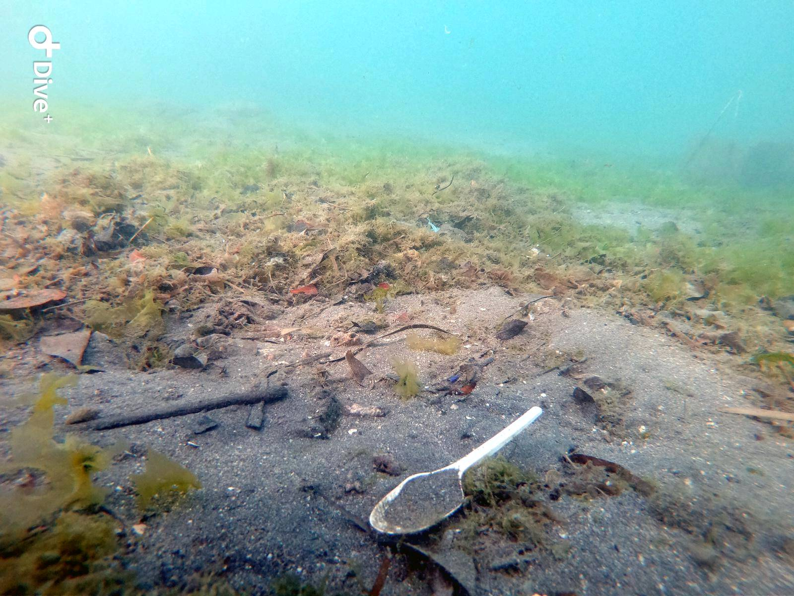
The over-all area of this site is still heavily covered with plastic debris
Nothing to report
Undamaged glass cups
Windy
0
0
0
0
0
0
0
0
0
0
0
0
0
0
0
0
0
0
0
0
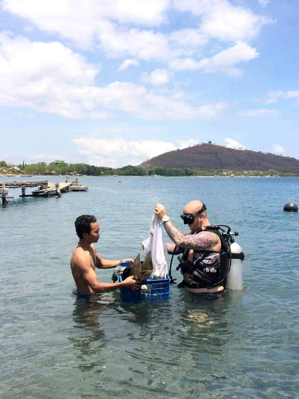
Abyss Ocean World
Daniel Stilwell
0
0
0
86
0
0
0
0
0
0
4
0
5
0
32
0
0
0
0
5
0
0
0
0
6
0
0
0
0
0
0
0
0
0
20.00
50
10.00
5.00
3
estimated
0
0
2436.62
0
0
0
0
0
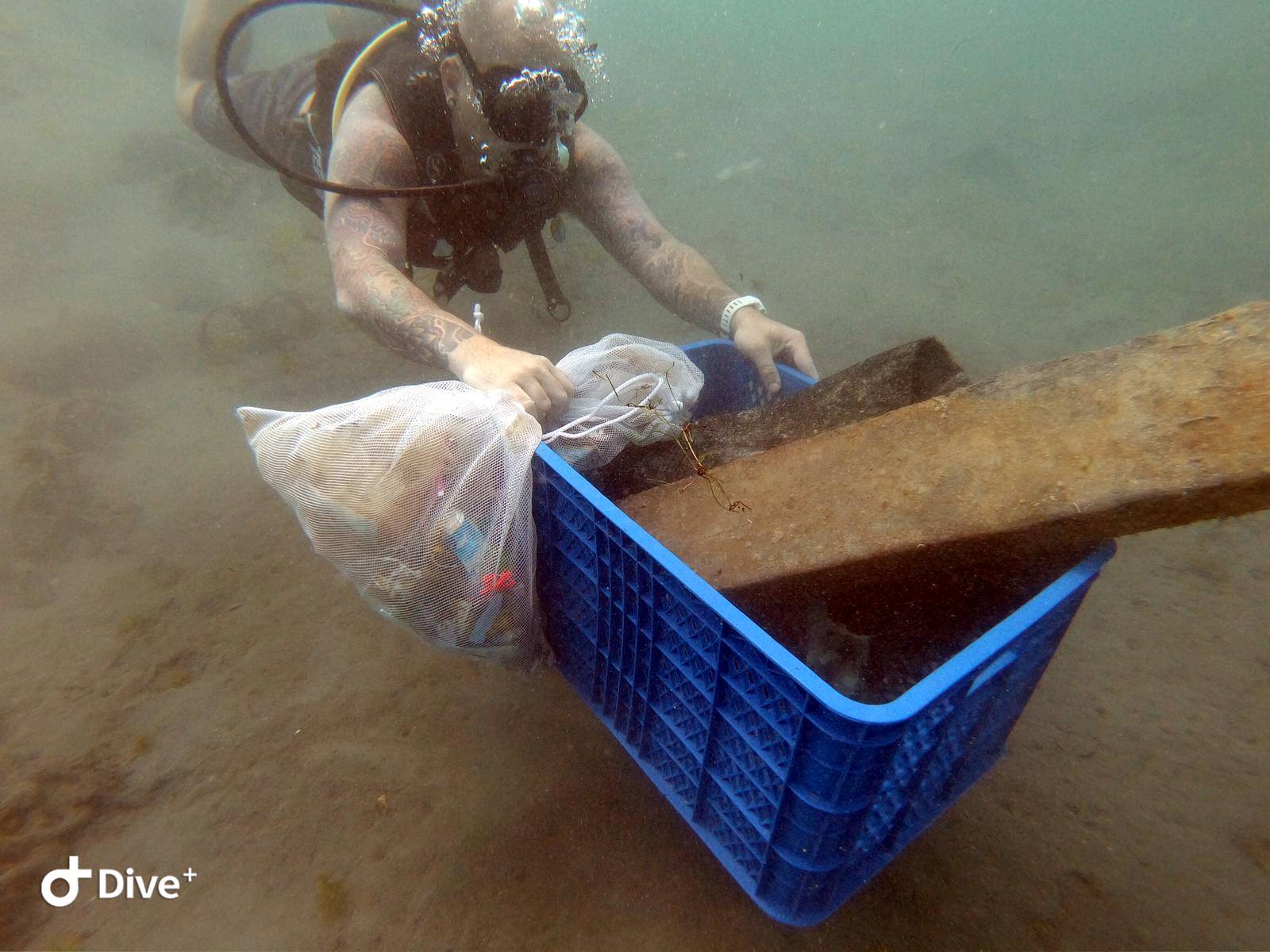
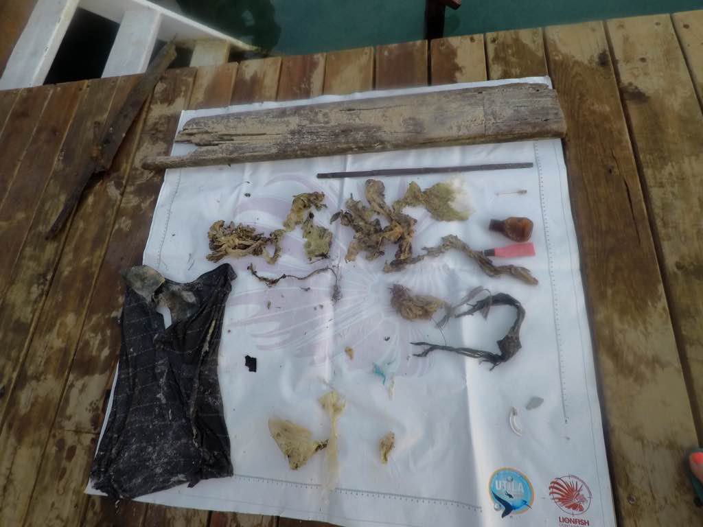
Single use 1 liter grocery bag
1 liter bags for Ice blocks
Single use sachets
0
On
kilograms
0
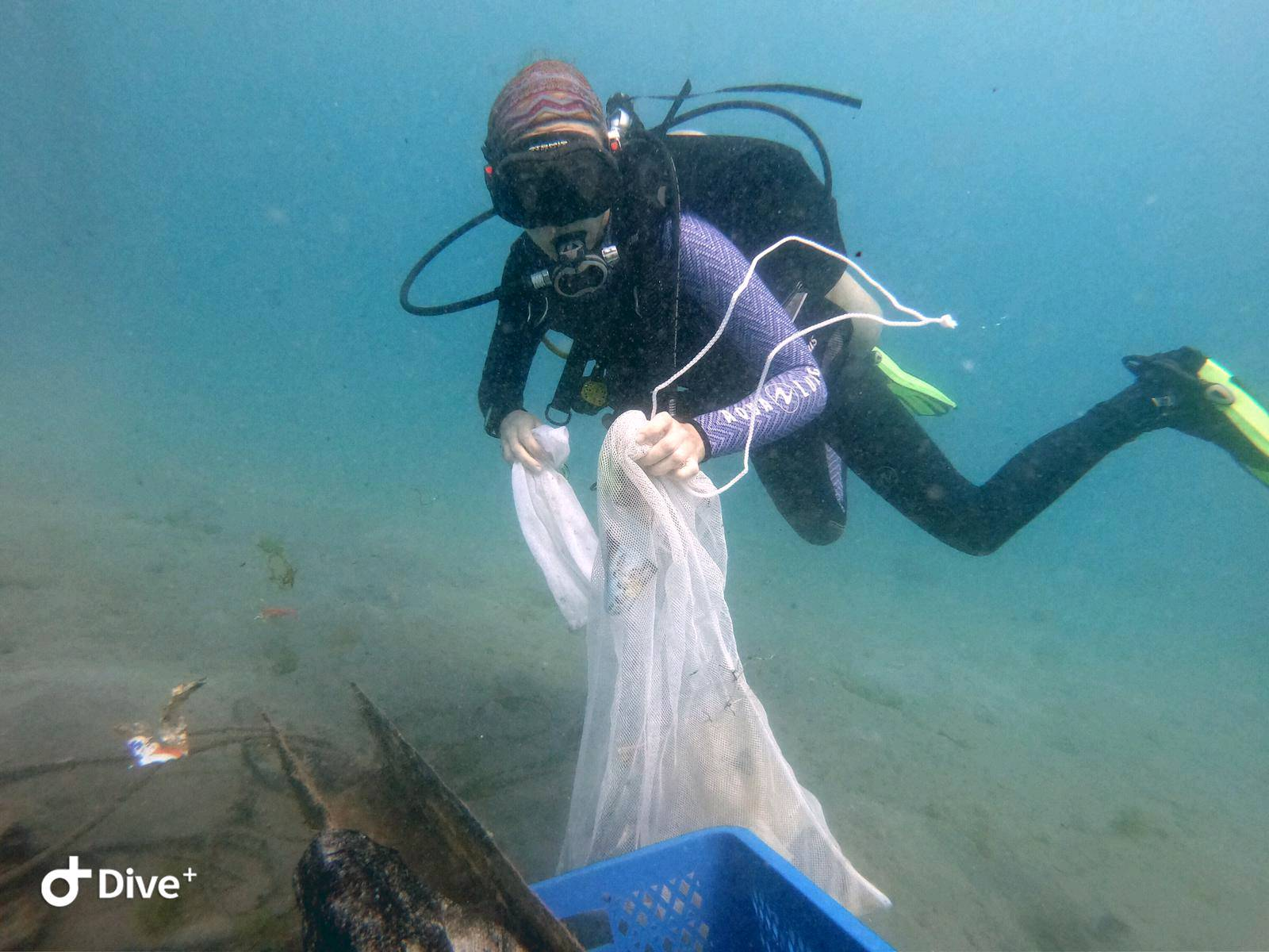
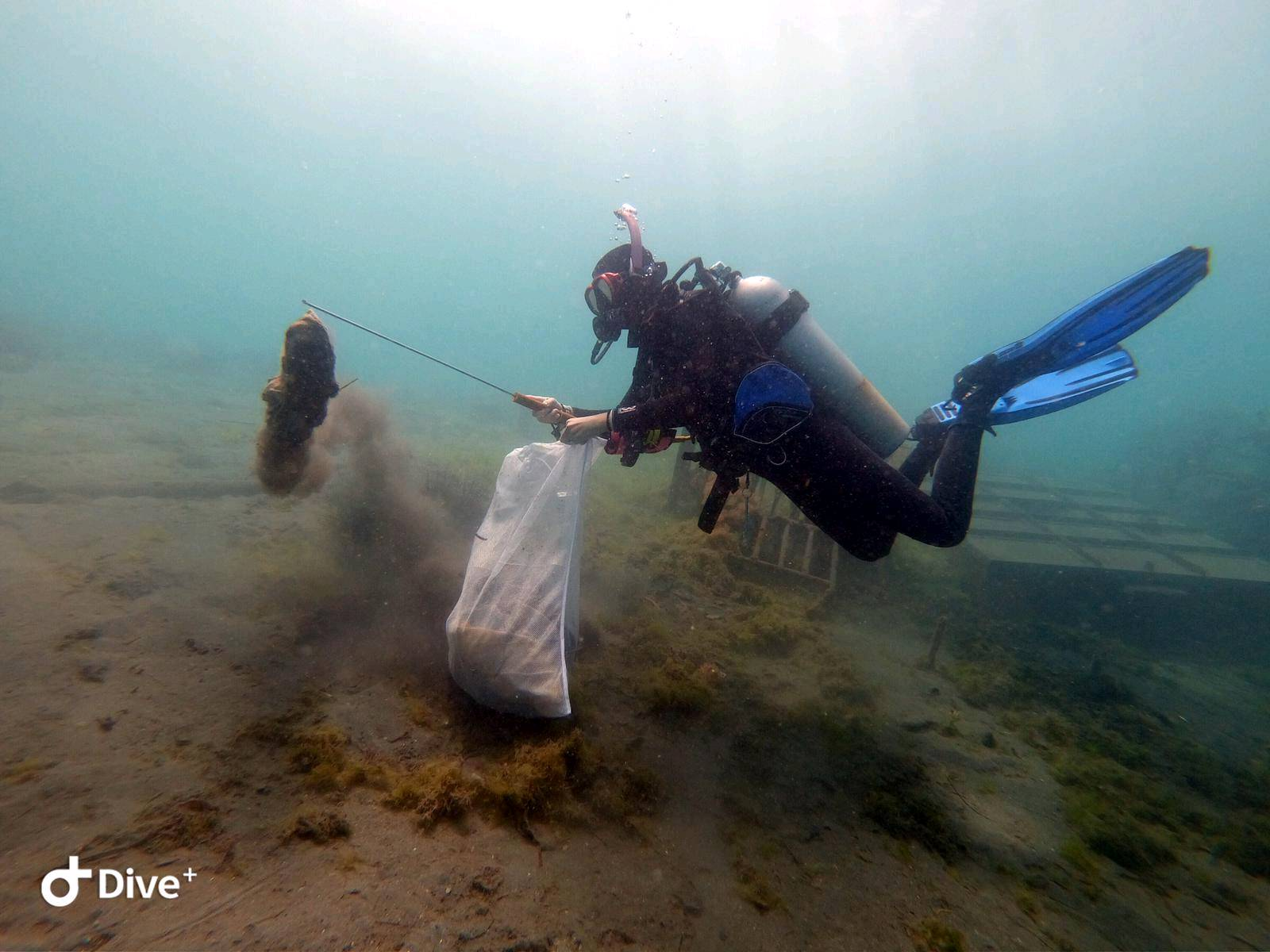
I have debris data to report
4
0
0
Calm (glassy to rippled) for waves 0 – 0.1 meter high
0
0
3
0
5
0
0
m2
3
0
meters
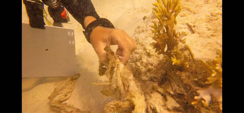
seagrass
0
0
0
0
0
0
0
0
0
0
0
0
0
0
0
4
7
0
0
0
0
1
0
1
0
0
1
0
State\Province
Bali
City
Pemuteran
Map Help
Dive Location
If you know your survey site coordinates, enter them manually in decimal degrees using WGS84 Map Datum. Use the minus sign for latitudes south of the equator and longitudes west of the Prime Meridian to 180 degrees.
If you do not know your survey site coordinates, click the “Map Location” tab to use the map to zoom into your survey site and drop the pin on the map to fall within your survey dive site in the water (not on land or the beach). Ensure you zoom in as much as possible to ensure data accuracy.
Entangled Help