Alto 3
2
37.084702, -8.209512
2
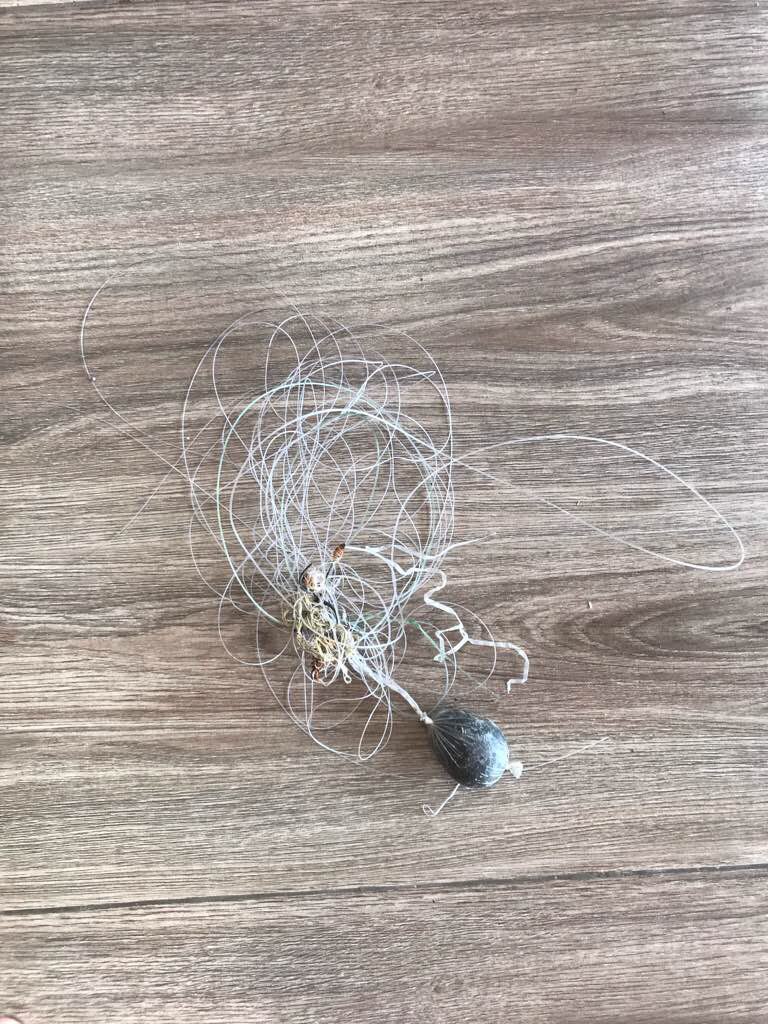
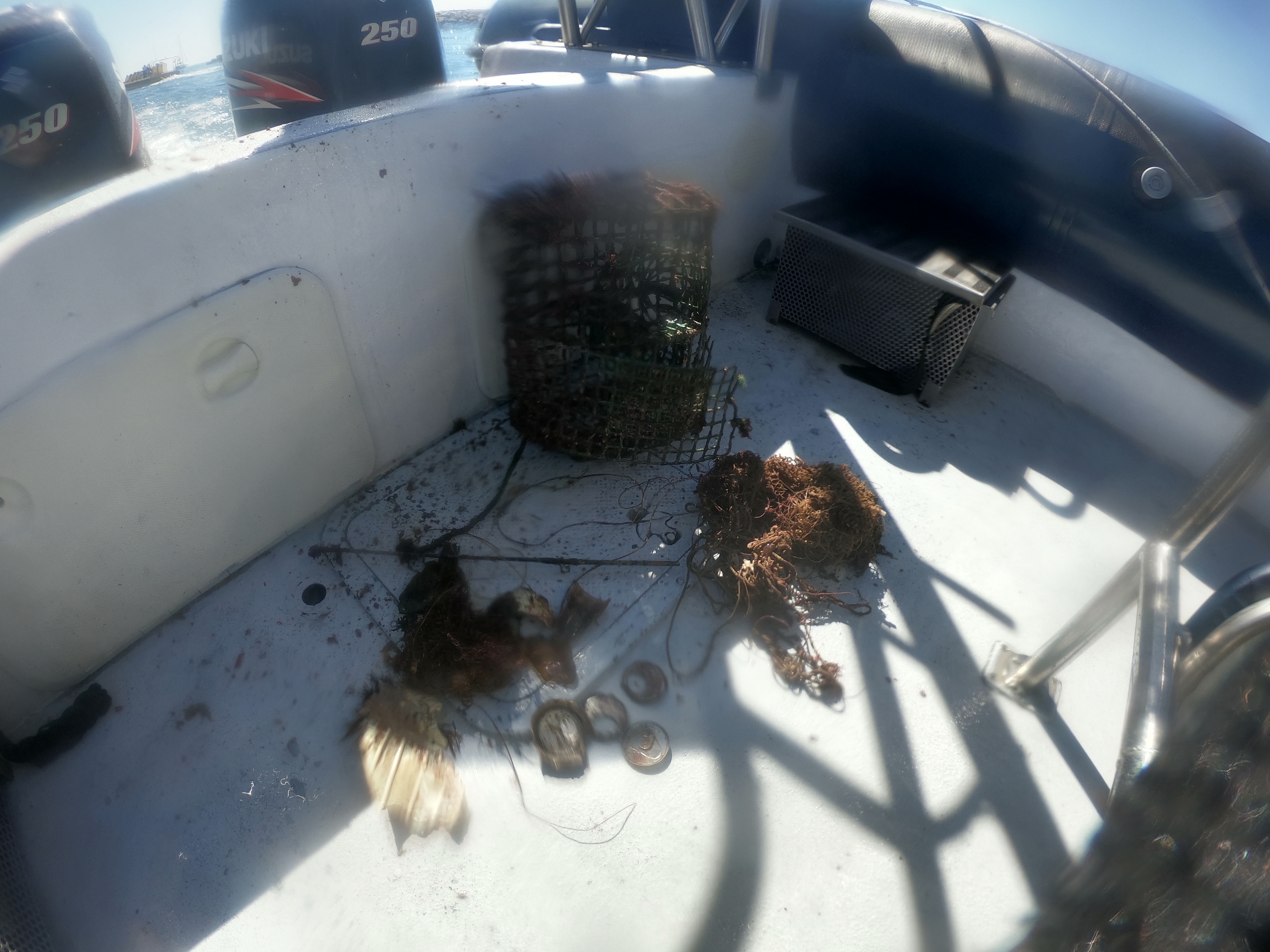
One was entangled and the second ones were just traped.
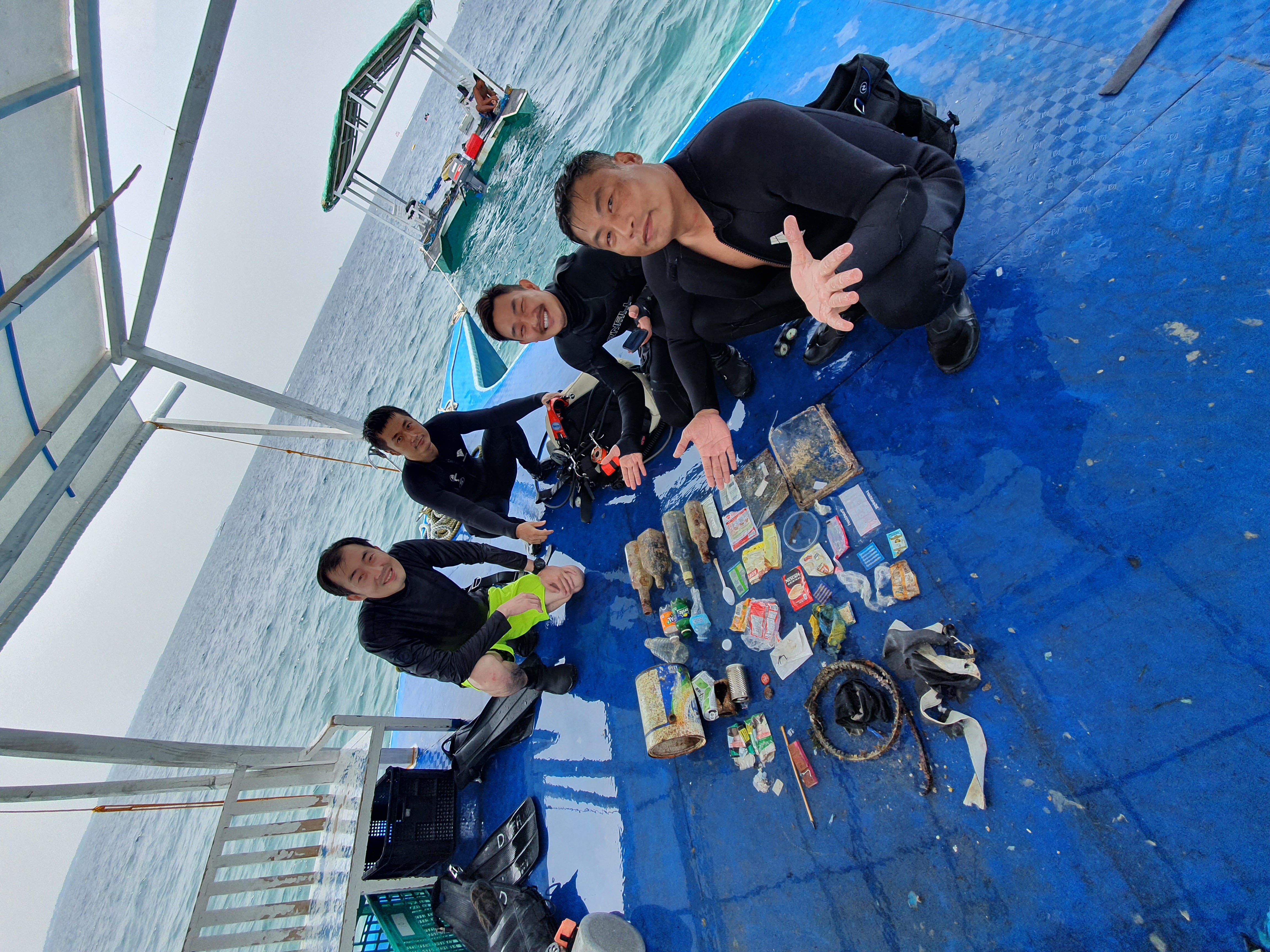
Easydivers Portugal
António Da Silva
4
1
5.00
40
17.10
14.00
1
estimated
25.00
On
kilograms
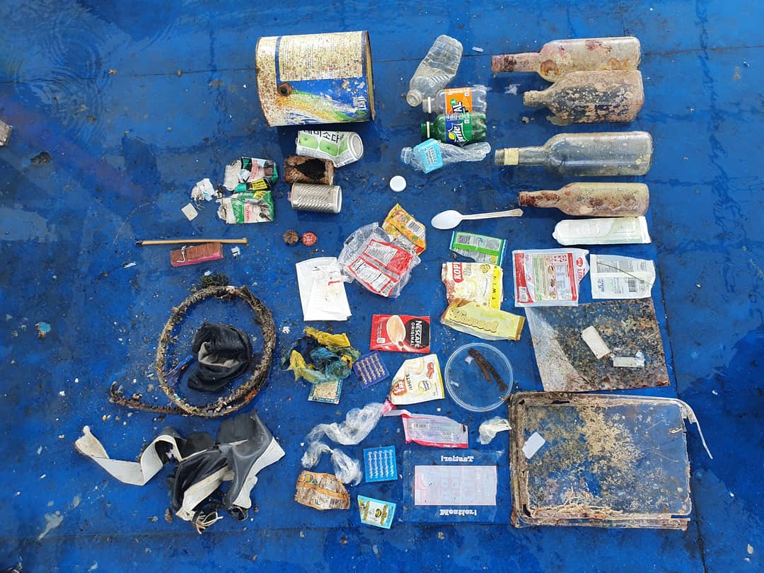
I have debris data to report
Calm (glassy to rippled) for waves 0 – 0.1 meter high
m2
3
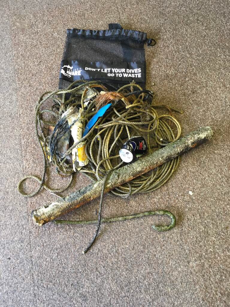
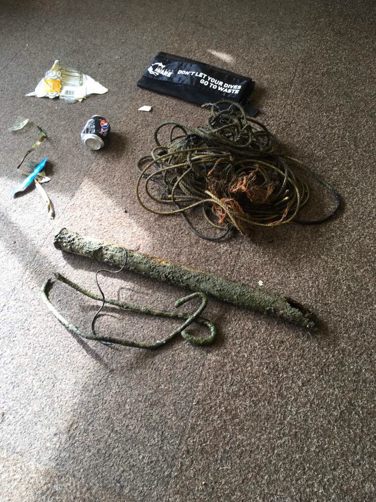
Fishing net, cage, plastic, cans top, bottle beer glace.
Cucumber sea
Injured
meters
rocky reef
4
1
State\Province
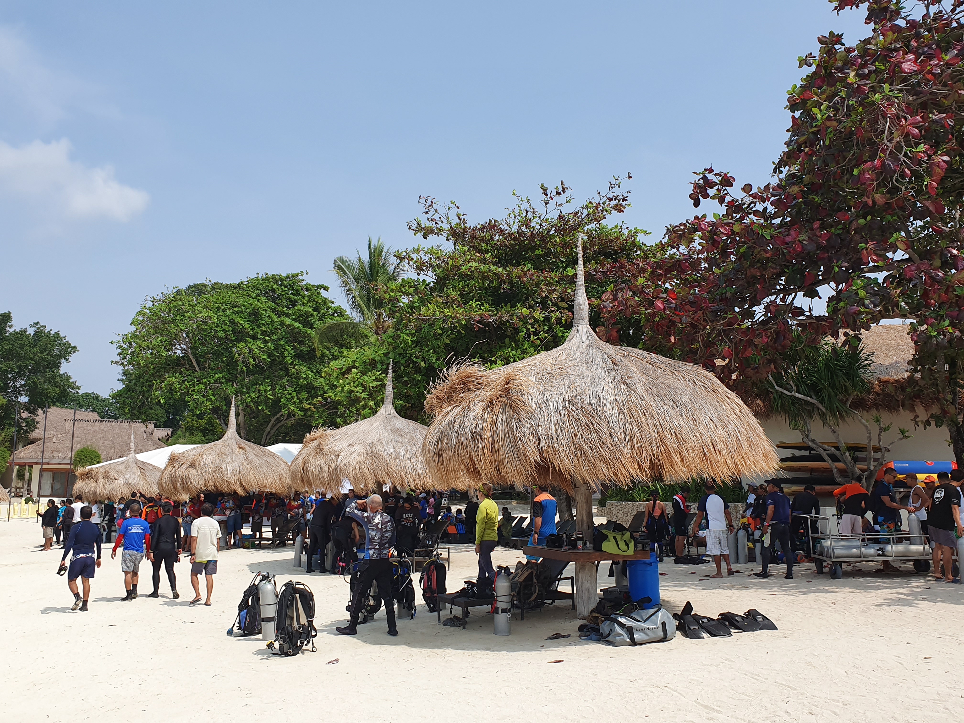
Faro
City
Albufeira
Map Help
Dive Location
If you know your survey site coordinates, enter them manually in decimal degrees using WGS84 Map Datum. Use the minus sign for latitudes south of the equator and longitudes west of the Prime Meridian to 180 degrees.
If you do not know your survey site coordinates, click the “Map Location” tab to use the map to zoom into your survey site and drop the pin on the map to fall within your survey dive site in the water (not on land or the beach). Ensure you zoom in as much as possible to ensure data accuracy.
Entangled Help