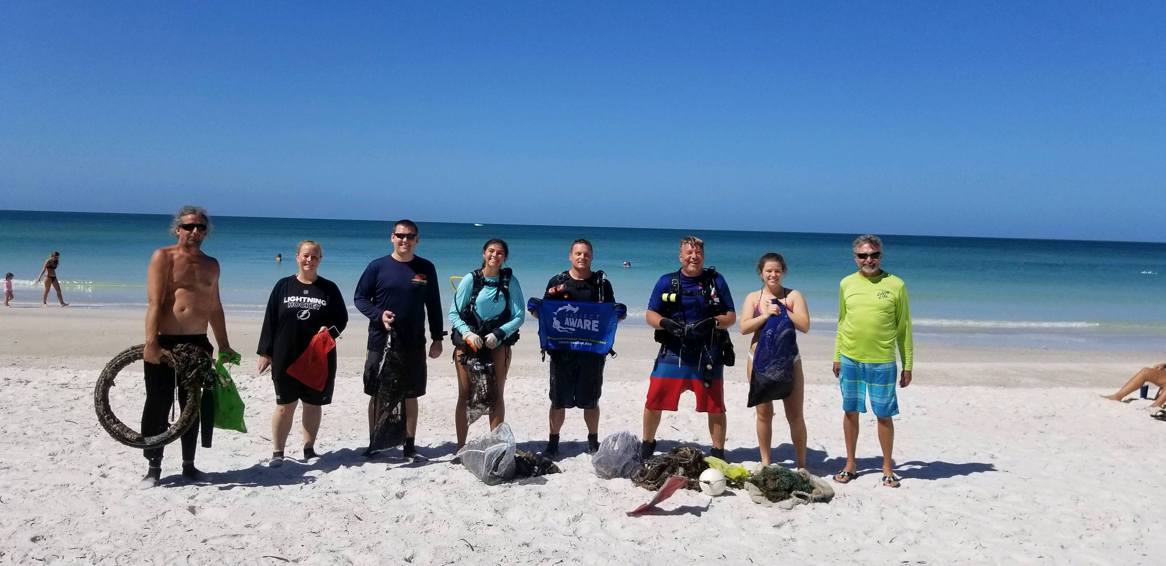
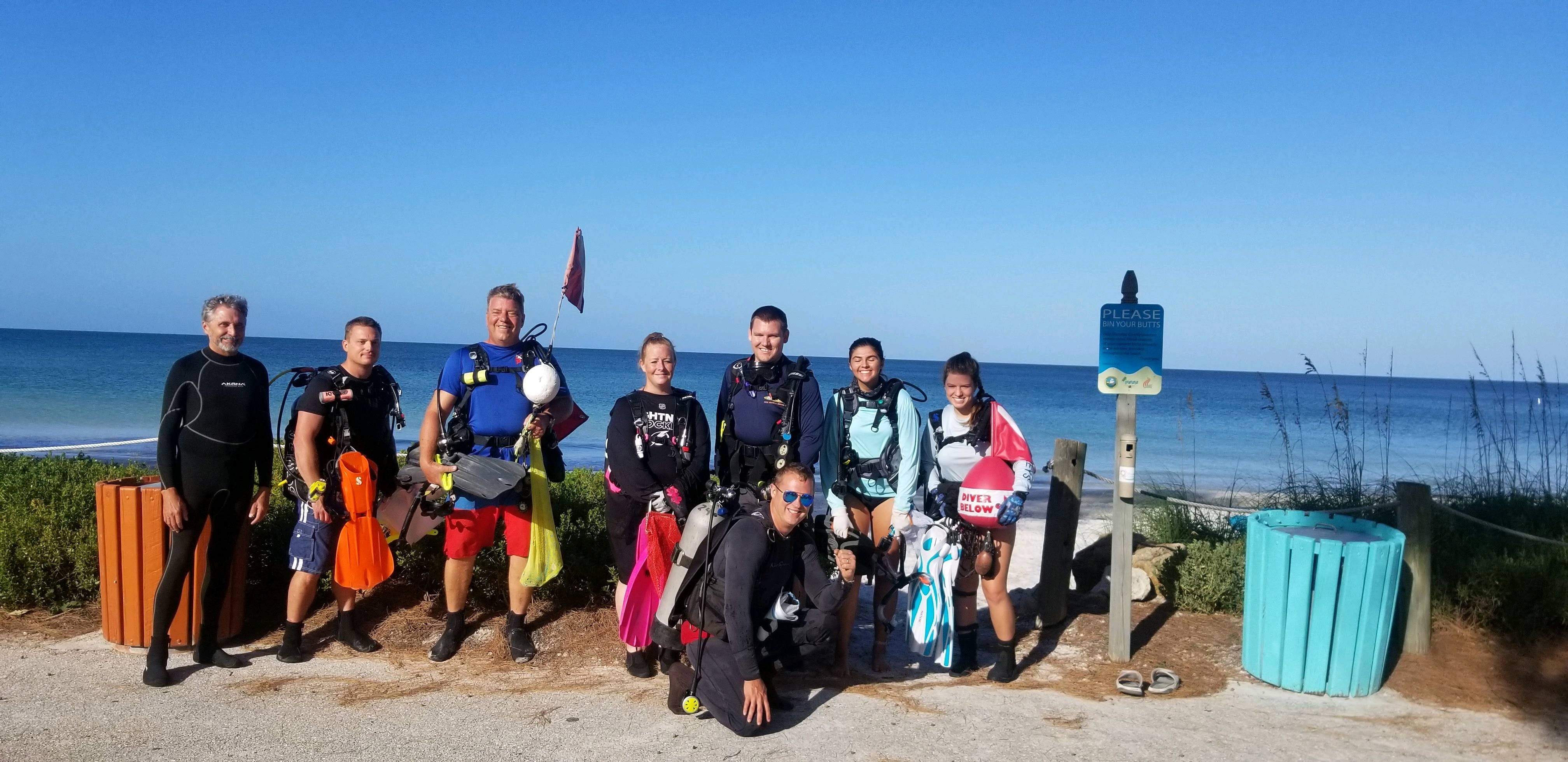
3rd Pier Reef
0
5
0
2
27.4582871, -82.6981922
0
2
0
sand
0
0
0
2
0
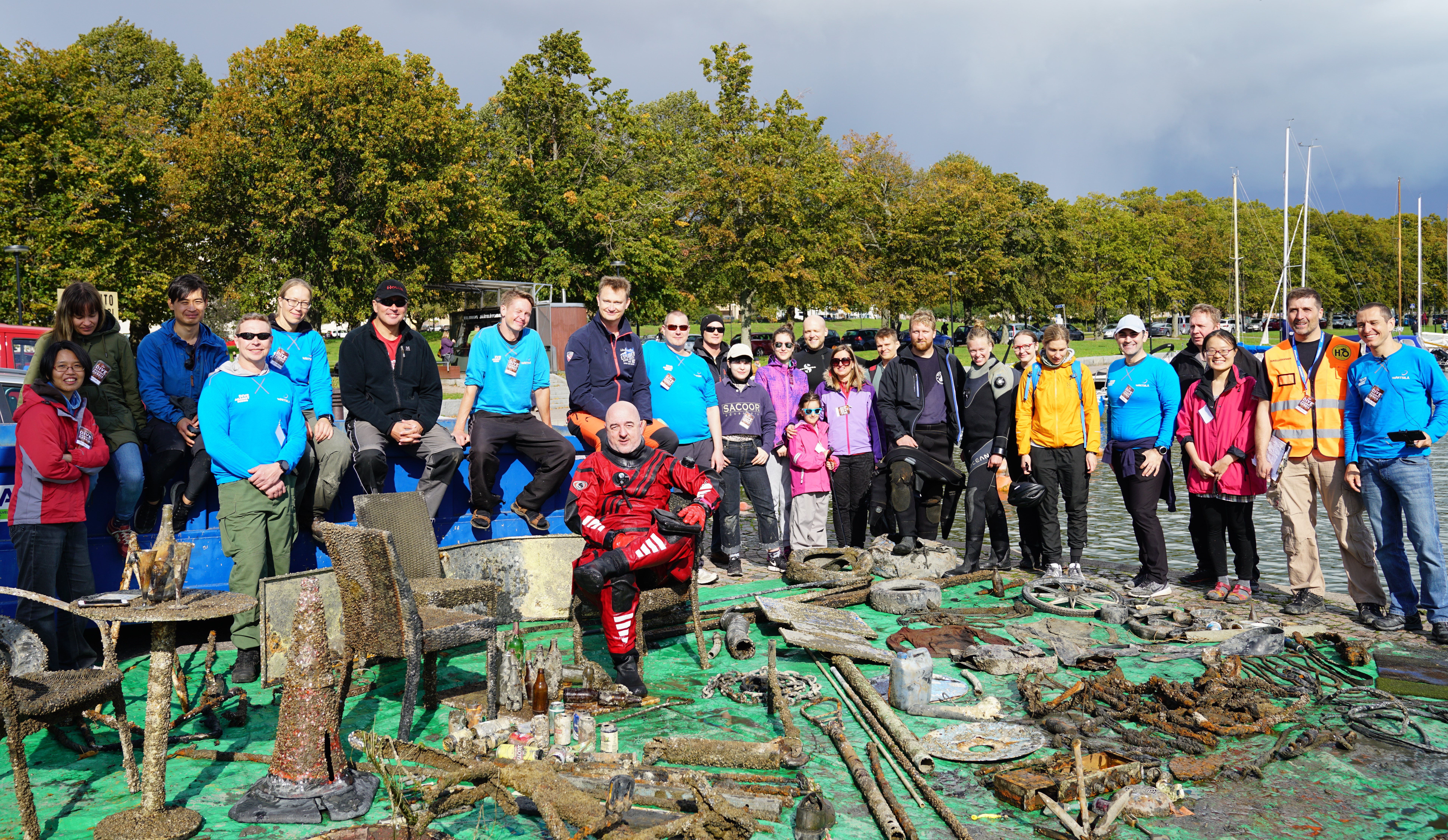
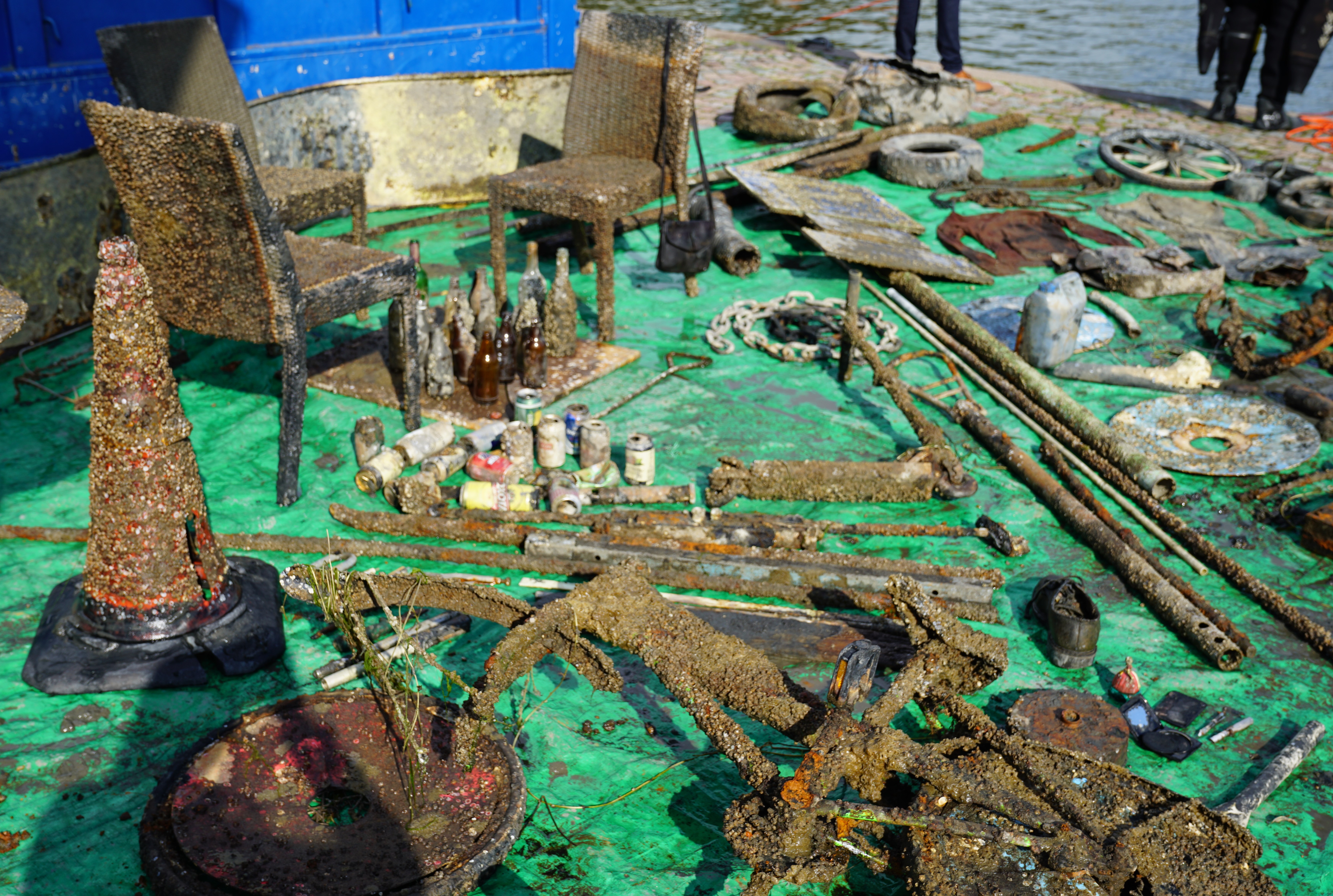
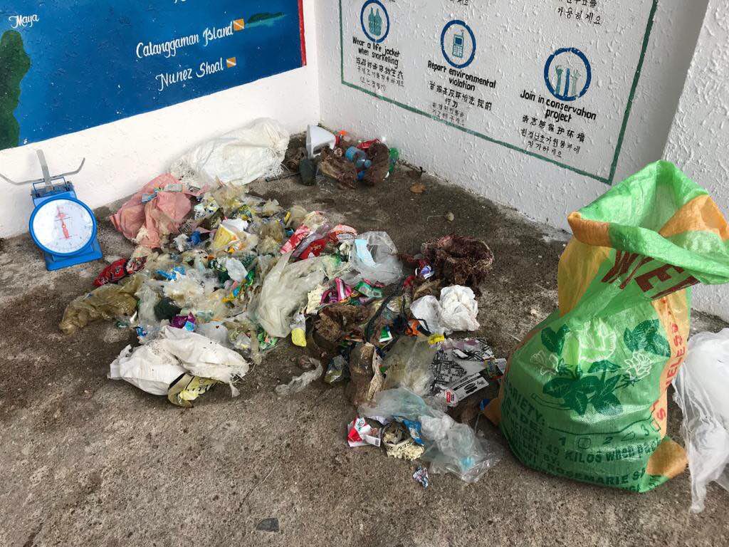
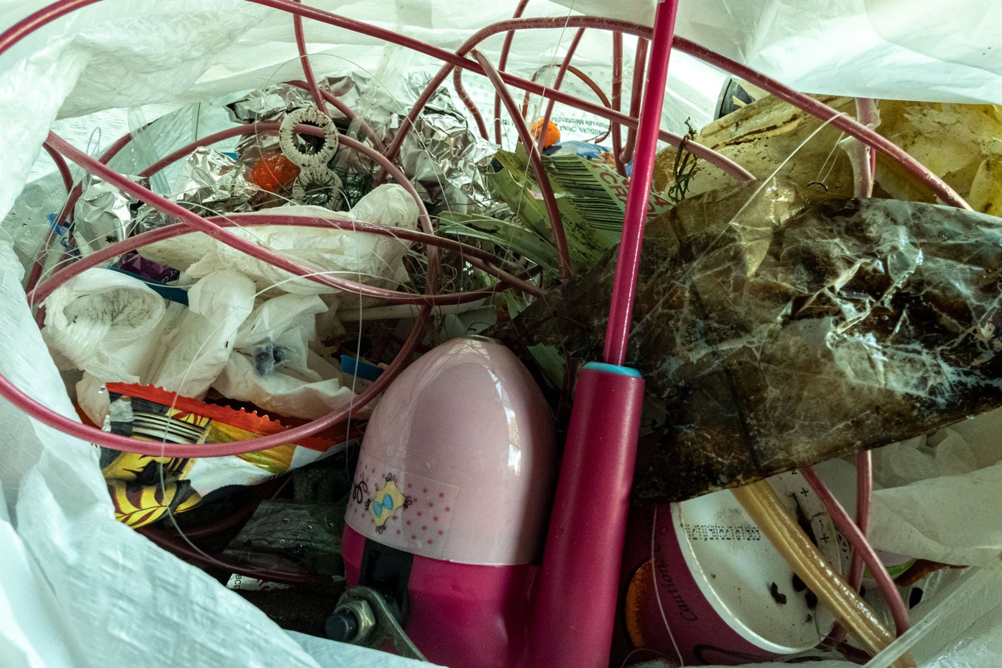
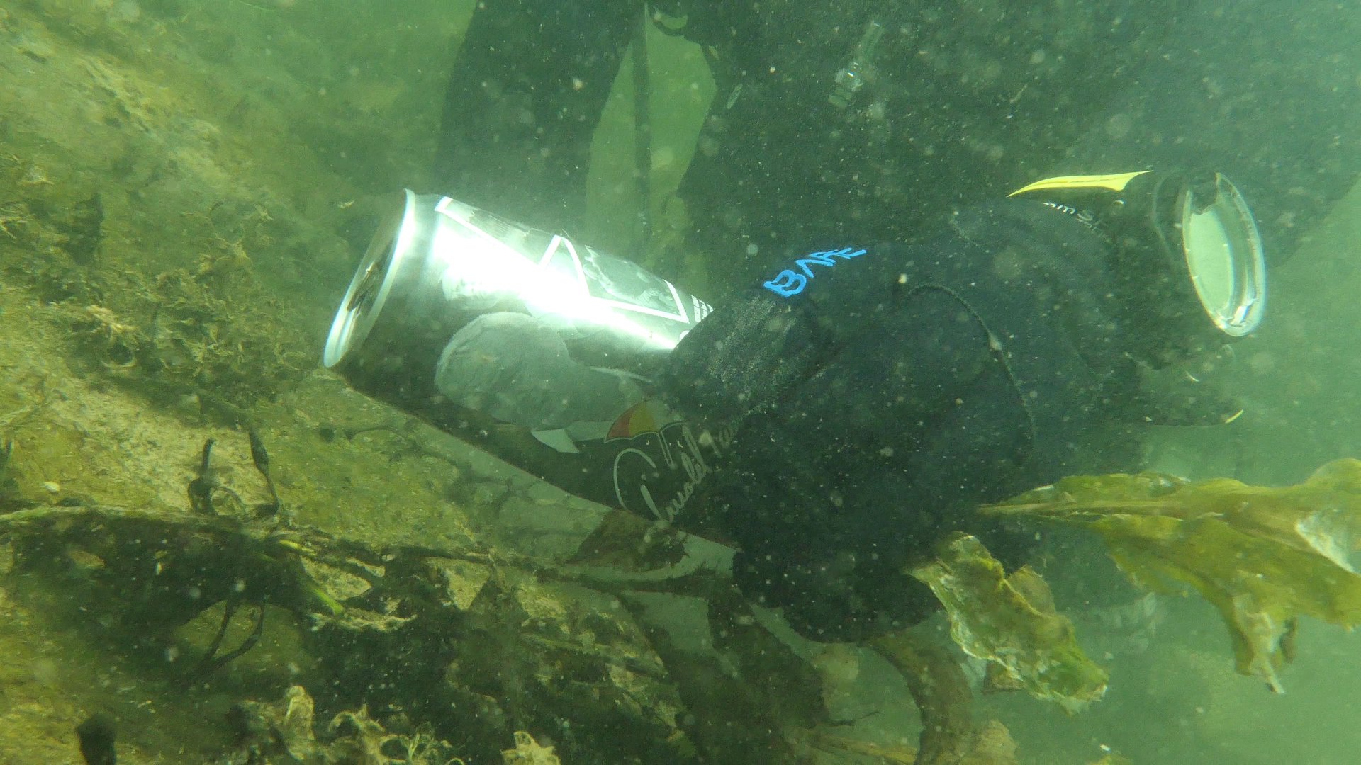
There's still plenty of debris that needs picked up.
Crab fishing
Unsure of removing abandoned crab pots. Is it legal?
Flower bed edging
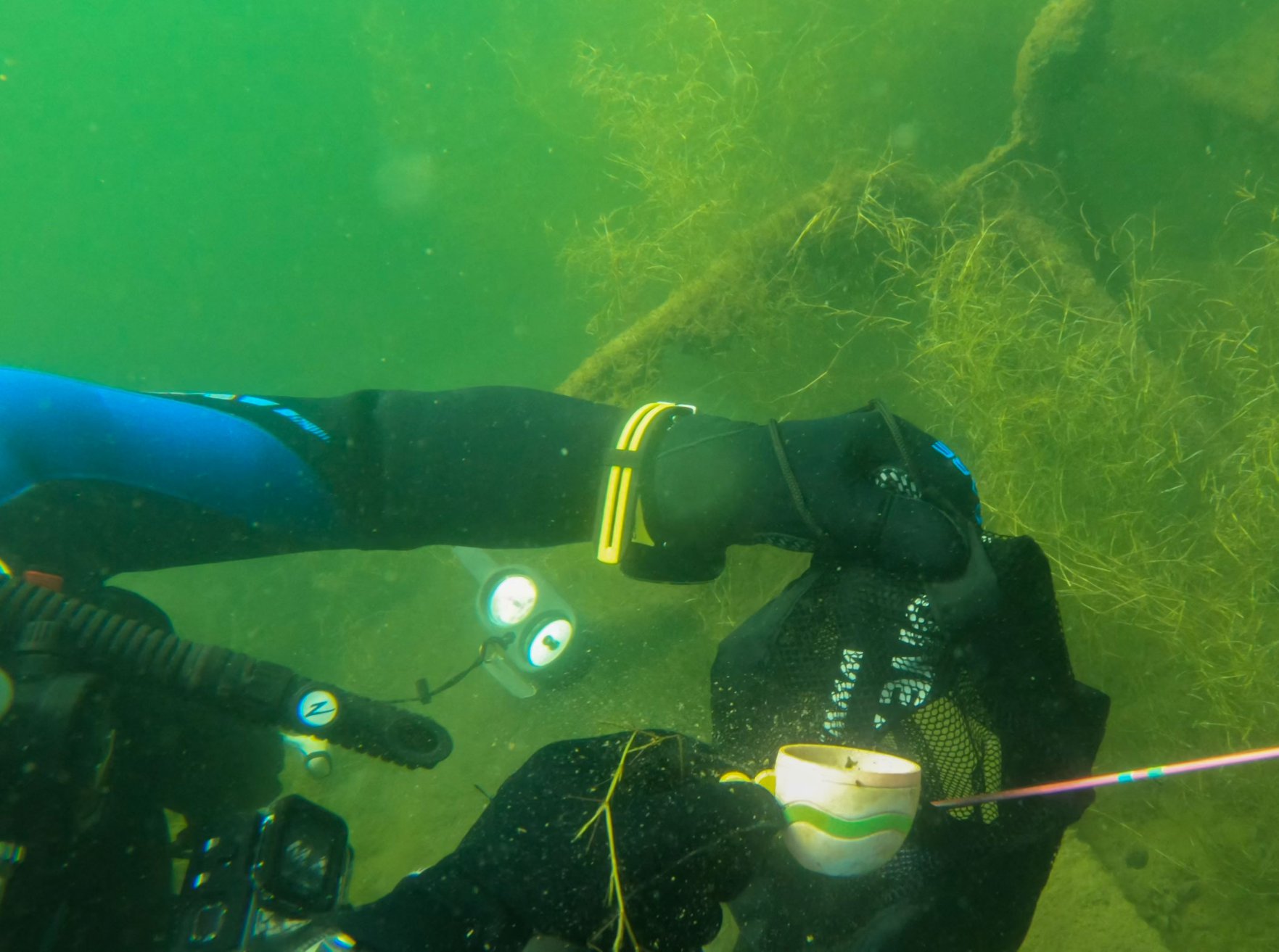
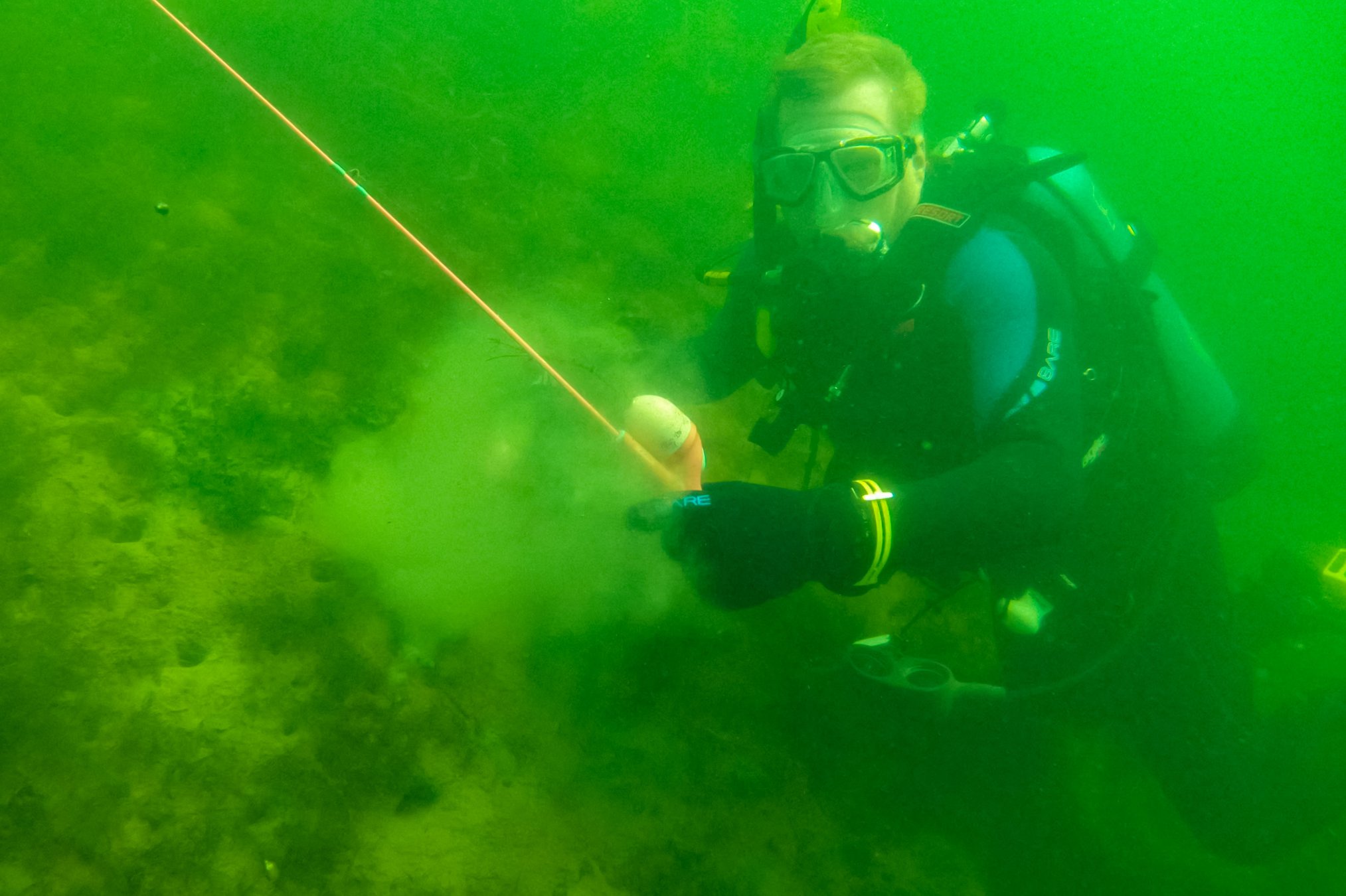
Fish appeared to be stuck in trap. We removed the top of the trap and they swap away.
Mostly sunny with 10-15mph winds from the East.
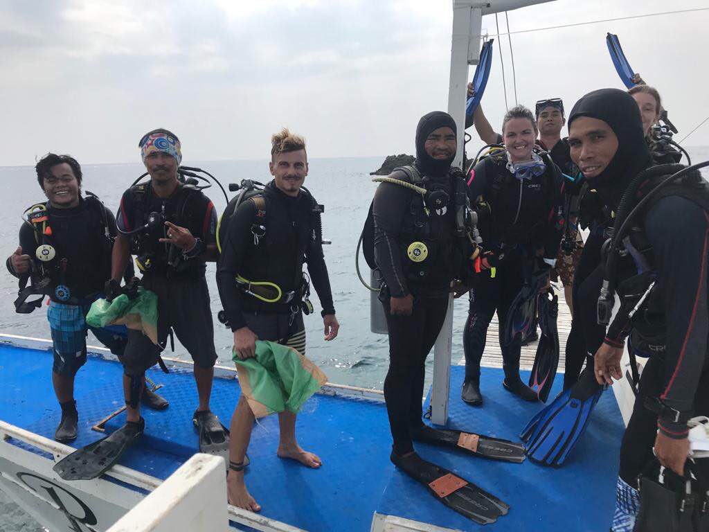
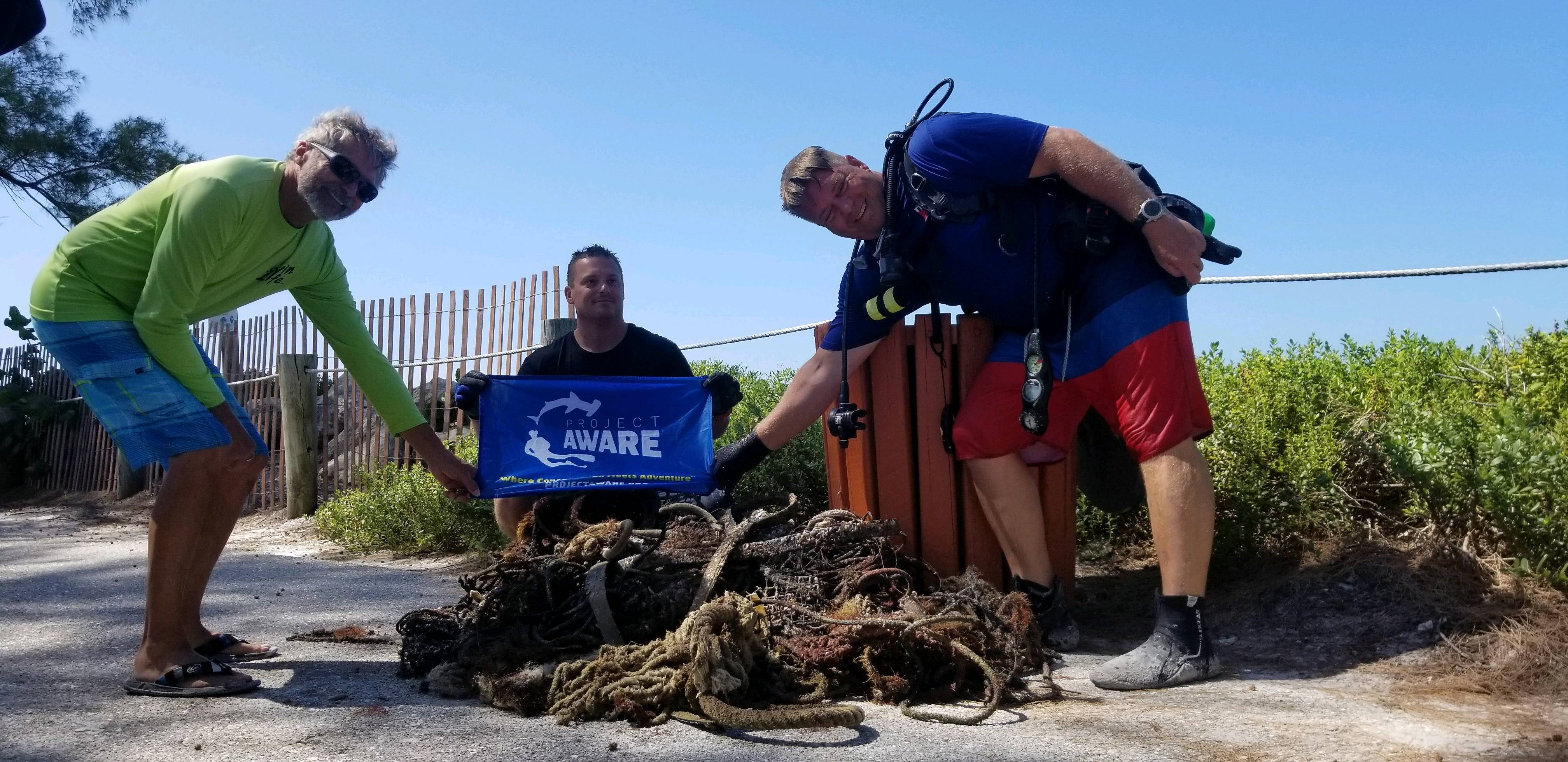
Dive Bender and Ocean Pro Dive Shop
Nick Bender
0
0
1
1
0
0
0
0
0
0
0
0
0
0
0
0
1
0
0
9
0
0
0
0
0
0
1
0
0
0
0
0
0
0
0
1
150.00
60
20.00
10.00
3
estimated
1
0
0
2
53223.20
0
0
0
0
0
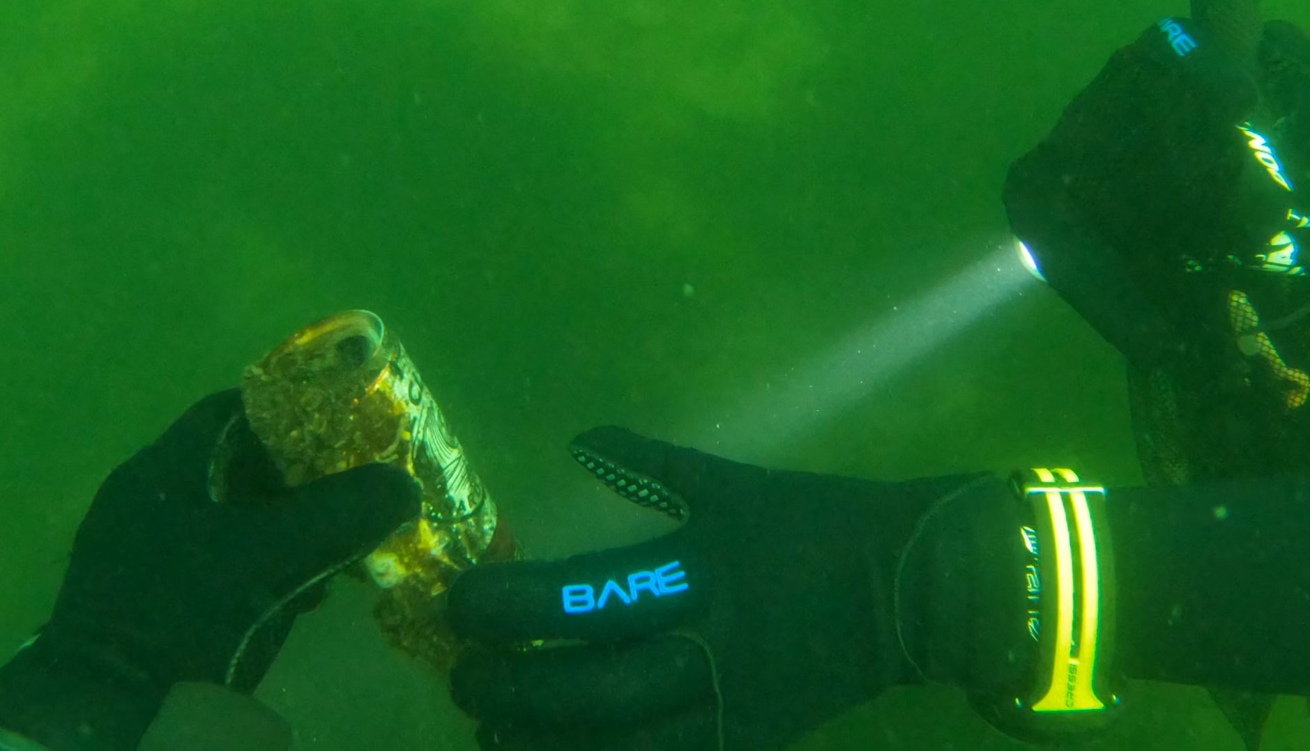
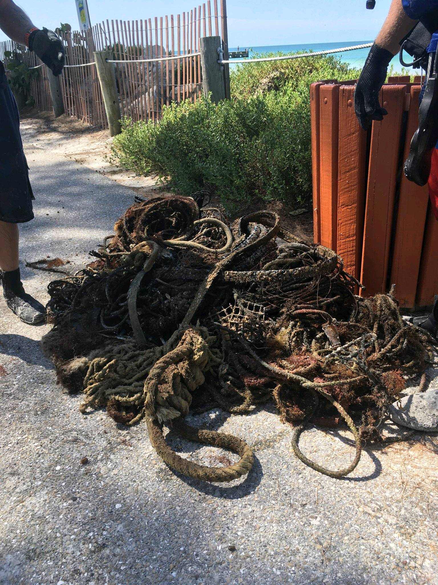
Abandoned crab pots
Fishing nets
Abandoned crab pots lines
0
On
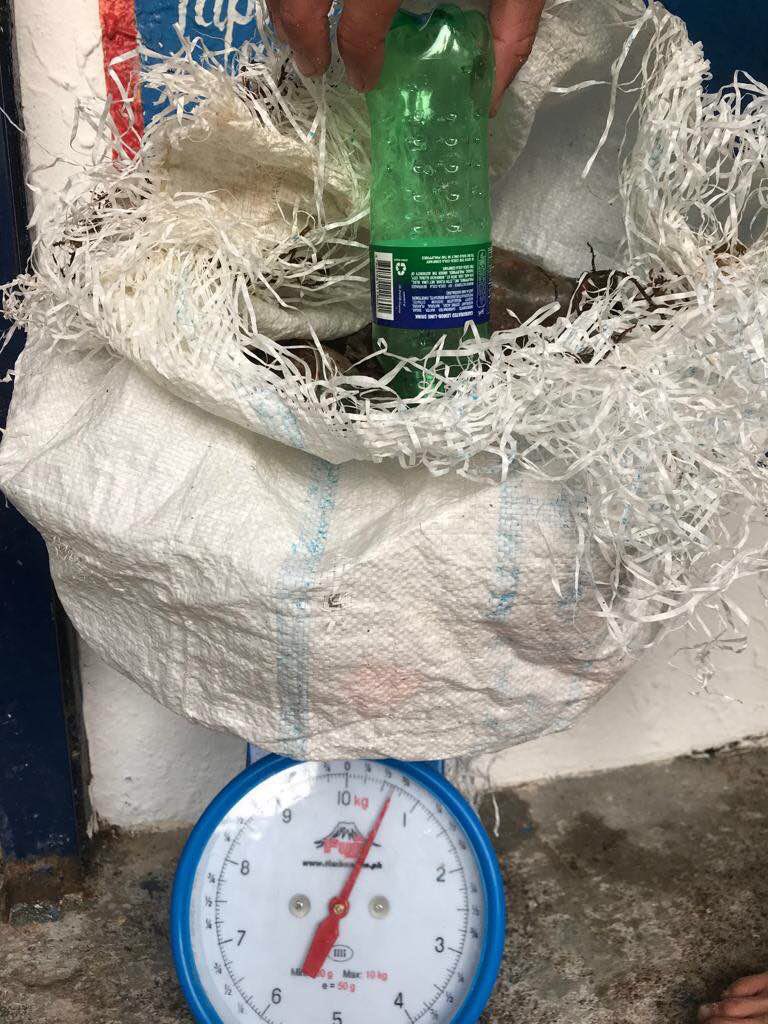
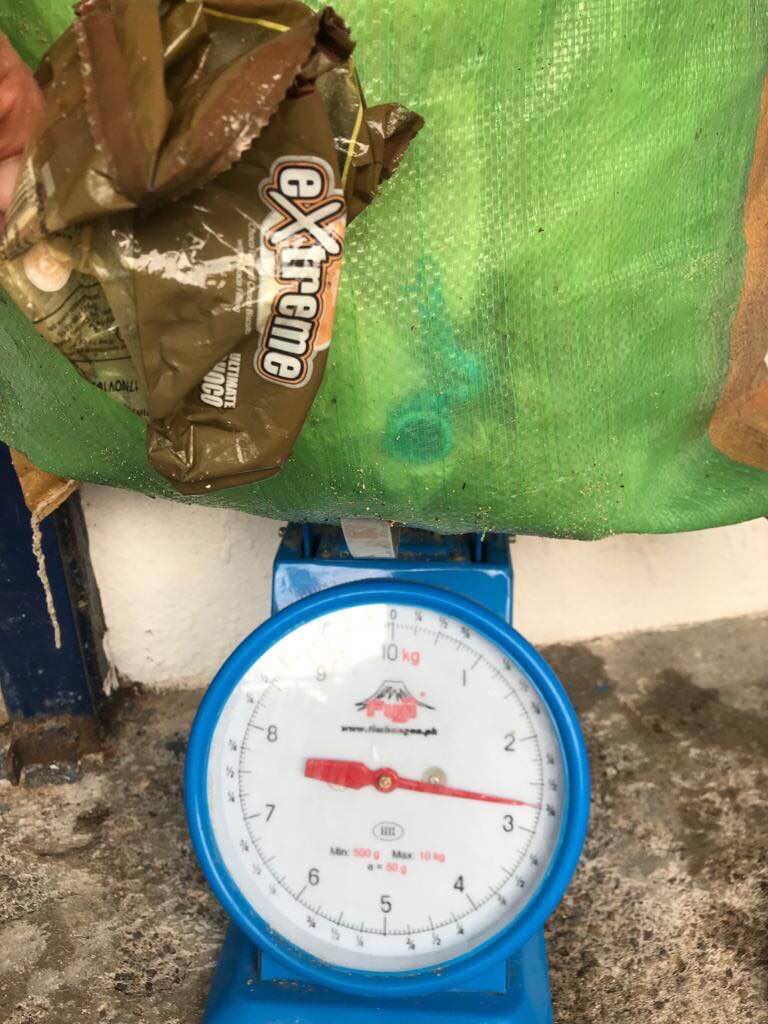
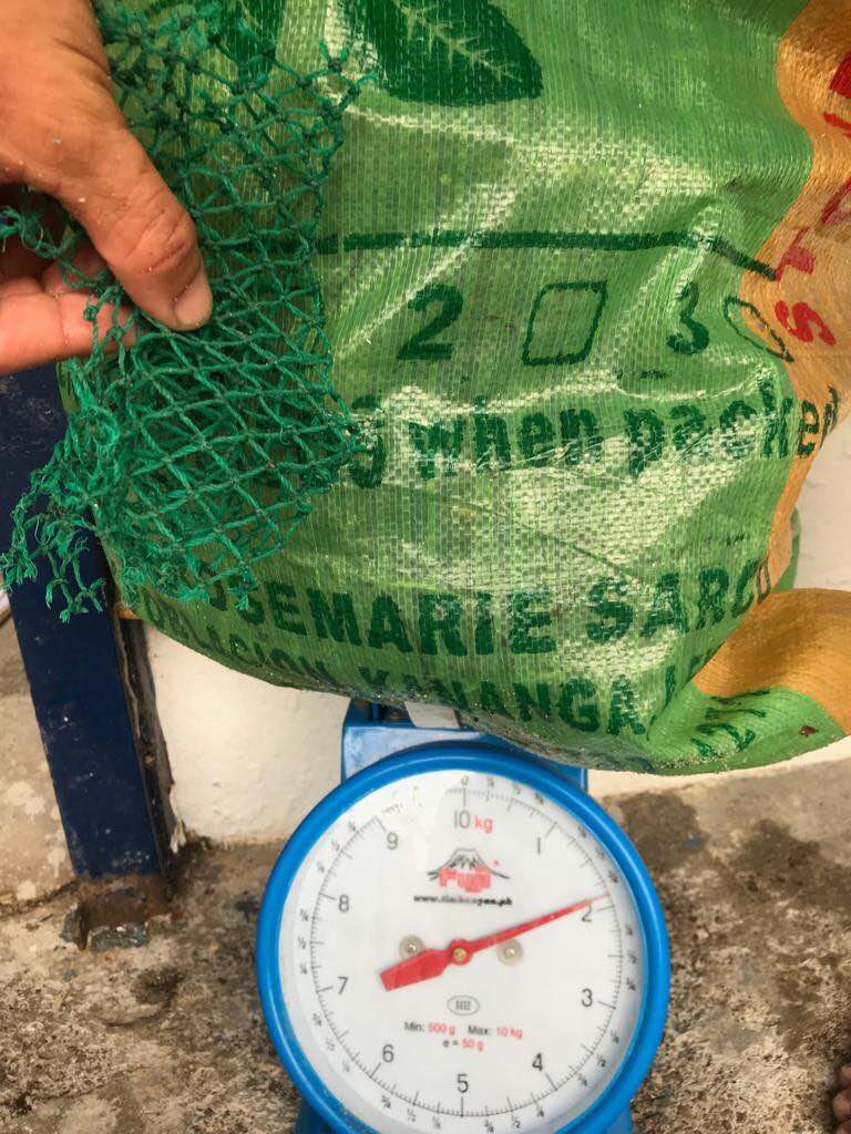
pounds
0
I have debris data to report
0
0
0
Calm (glassy to rippled) for waves 0 – 0.1 meter high
0
0
0
Released Unharmed
Unknown
3
Crab Trap
0
0
0
0
ft2

24
0
feet
rocky reef
2
0
0
0
0
0
0
0
0
0
0
0
0
0
0
0
0
0
0
0
0
0
0
1
0
0
0
0
0
State\Province
Florida
City
Bradenton Beach
Map Help
Dive Location
If you know your survey site coordinates, enter them manually in decimal degrees using WGS84 Map Datum. Use the minus sign for latitudes south of the equator and longitudes west of the Prime Meridian to 180 degrees.
If you do not know your survey site coordinates, click the “Map Location” tab to use the map to zoom into your survey site and drop the pin on the map to fall within your survey dive site in the water (not on land or the beach). Ensure you zoom in as much as possible to ensure data accuracy.
Entangled Help