Mill Cove Dive Site
44.580296, -64.054879
44.580332490206, -64.054331103894
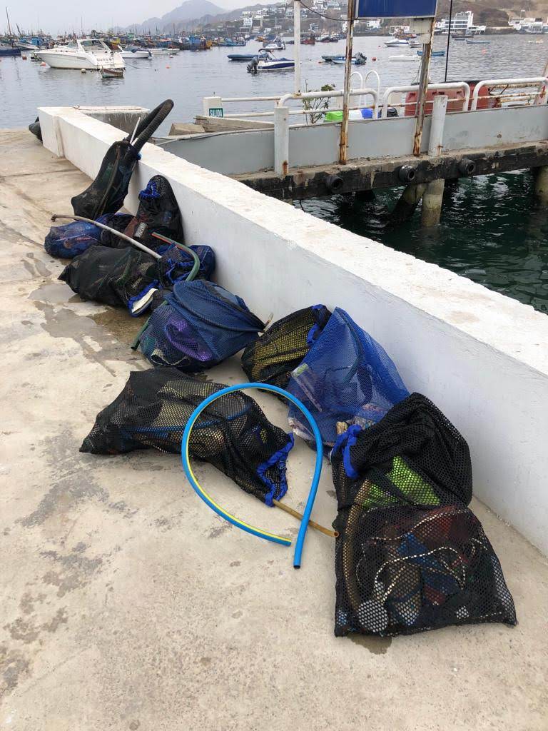
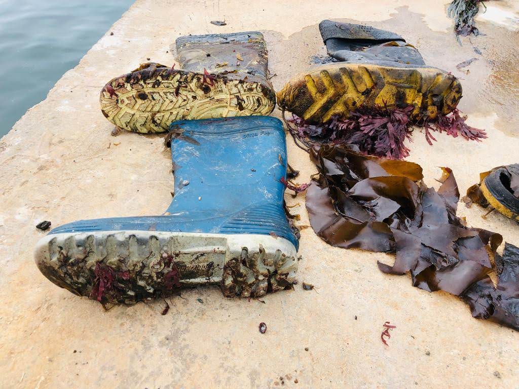
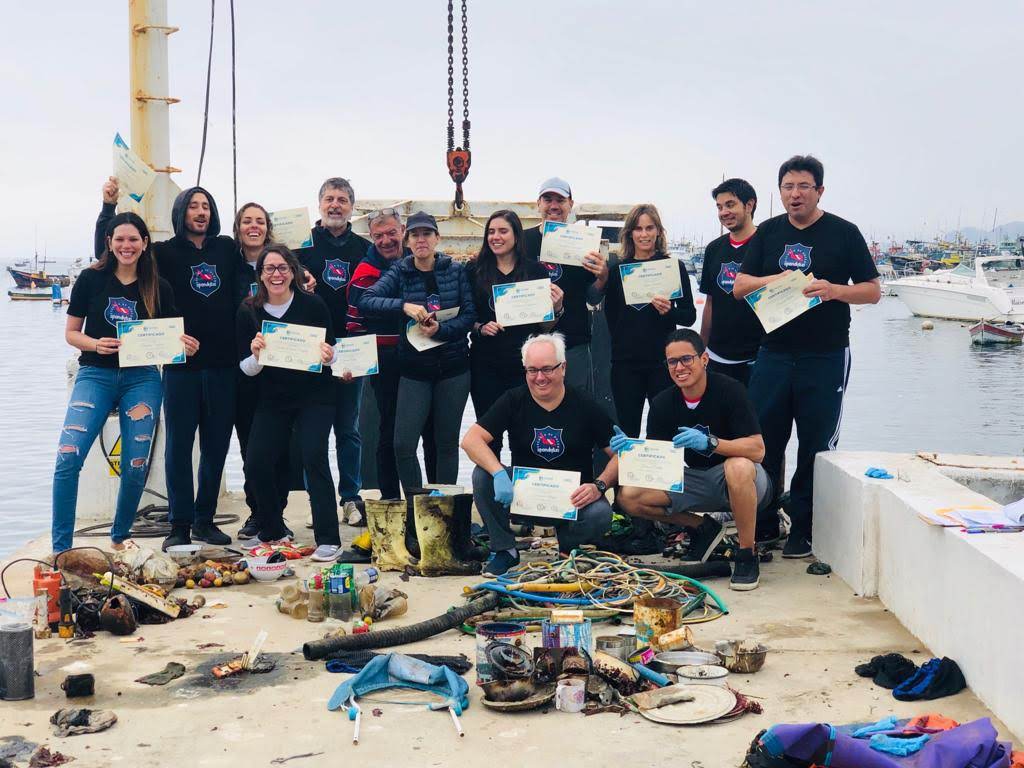
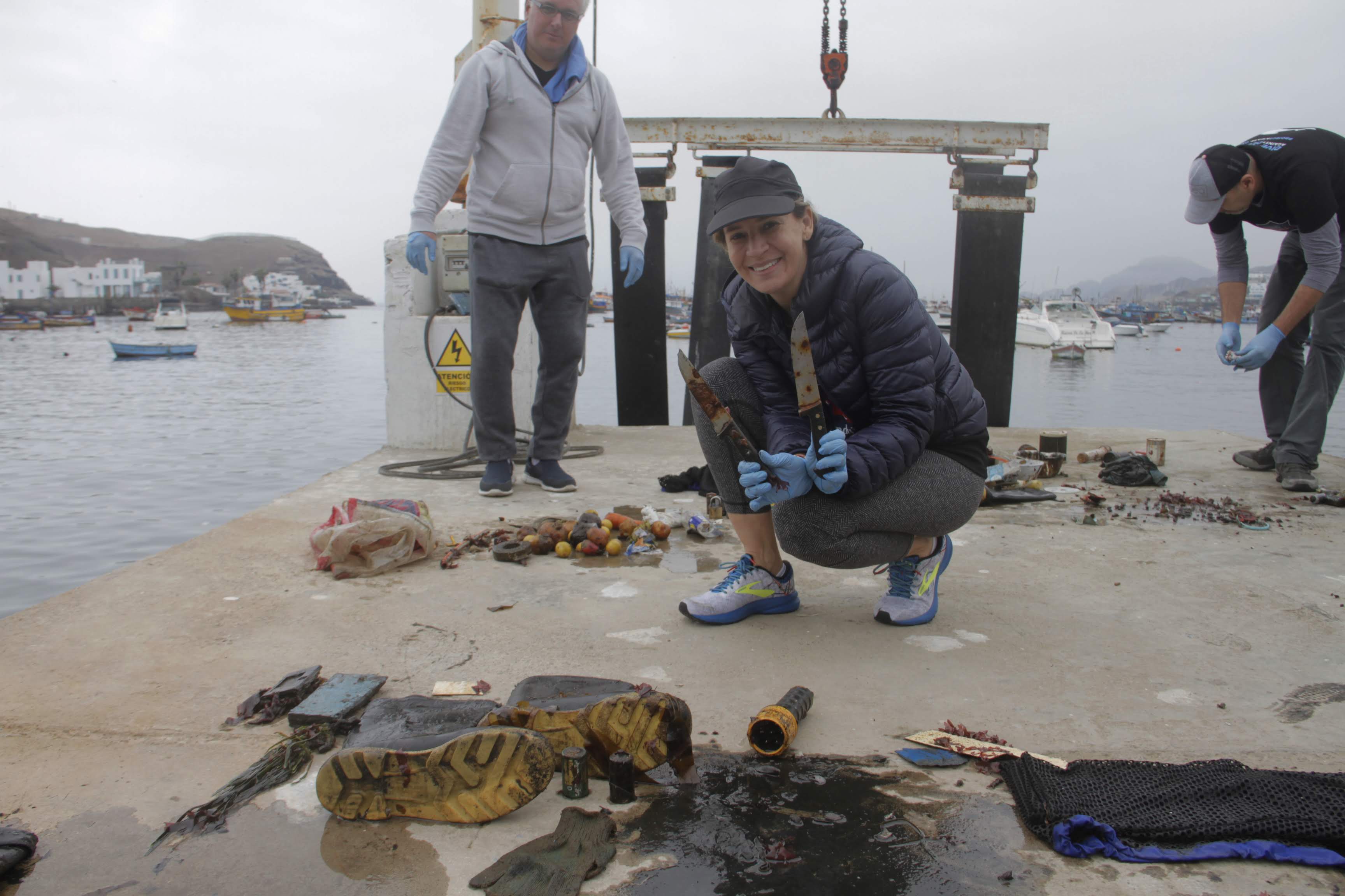
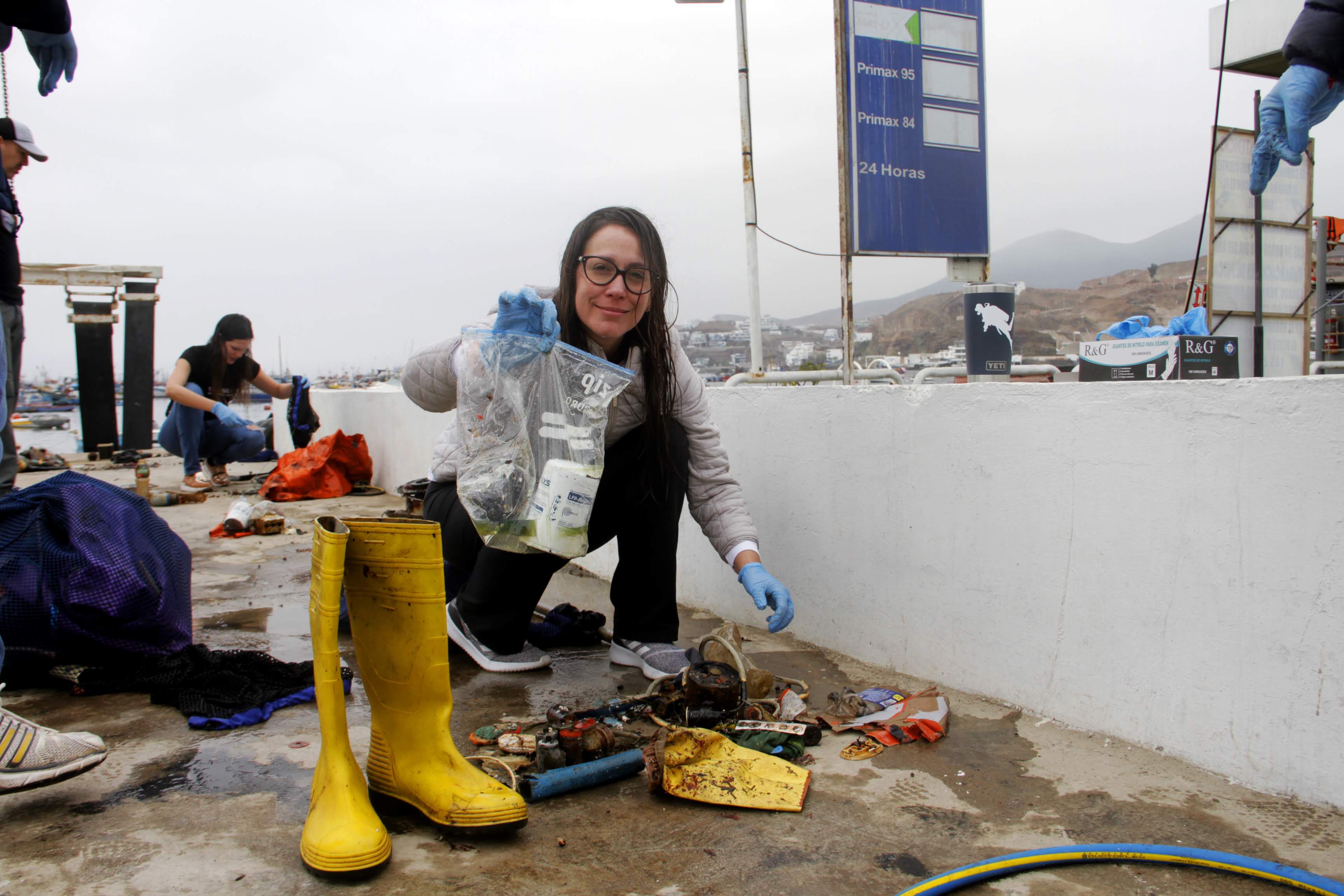
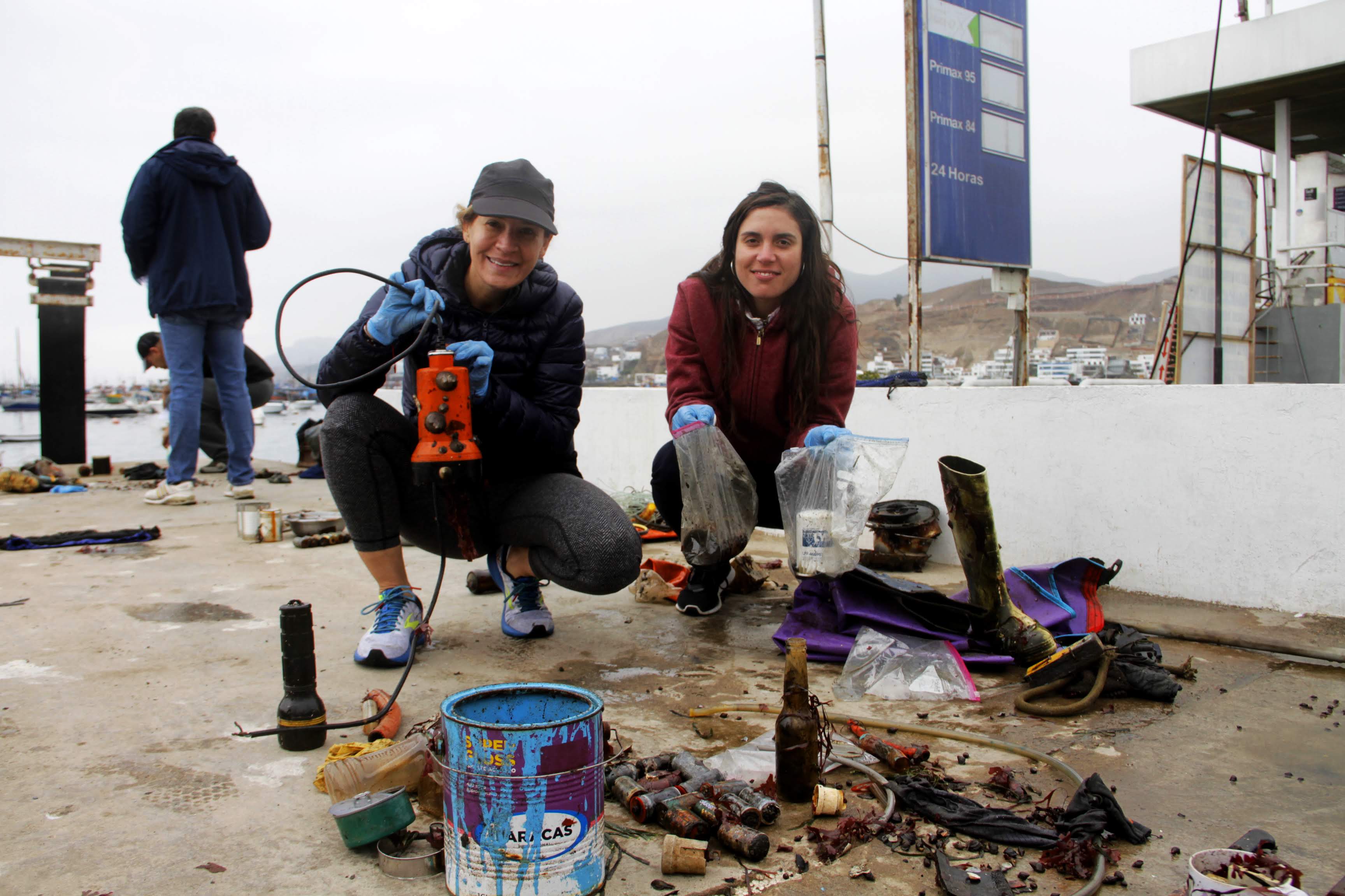
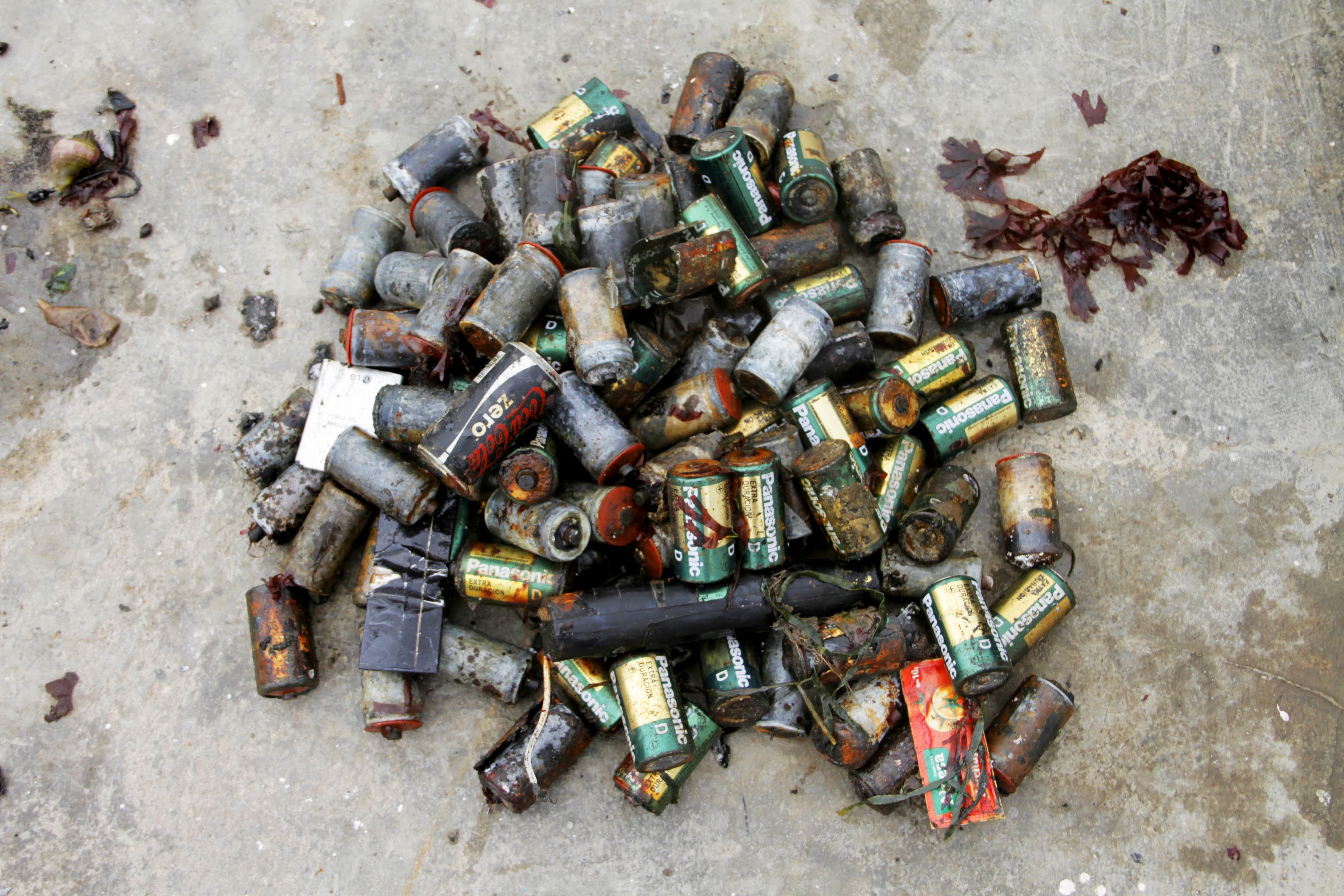
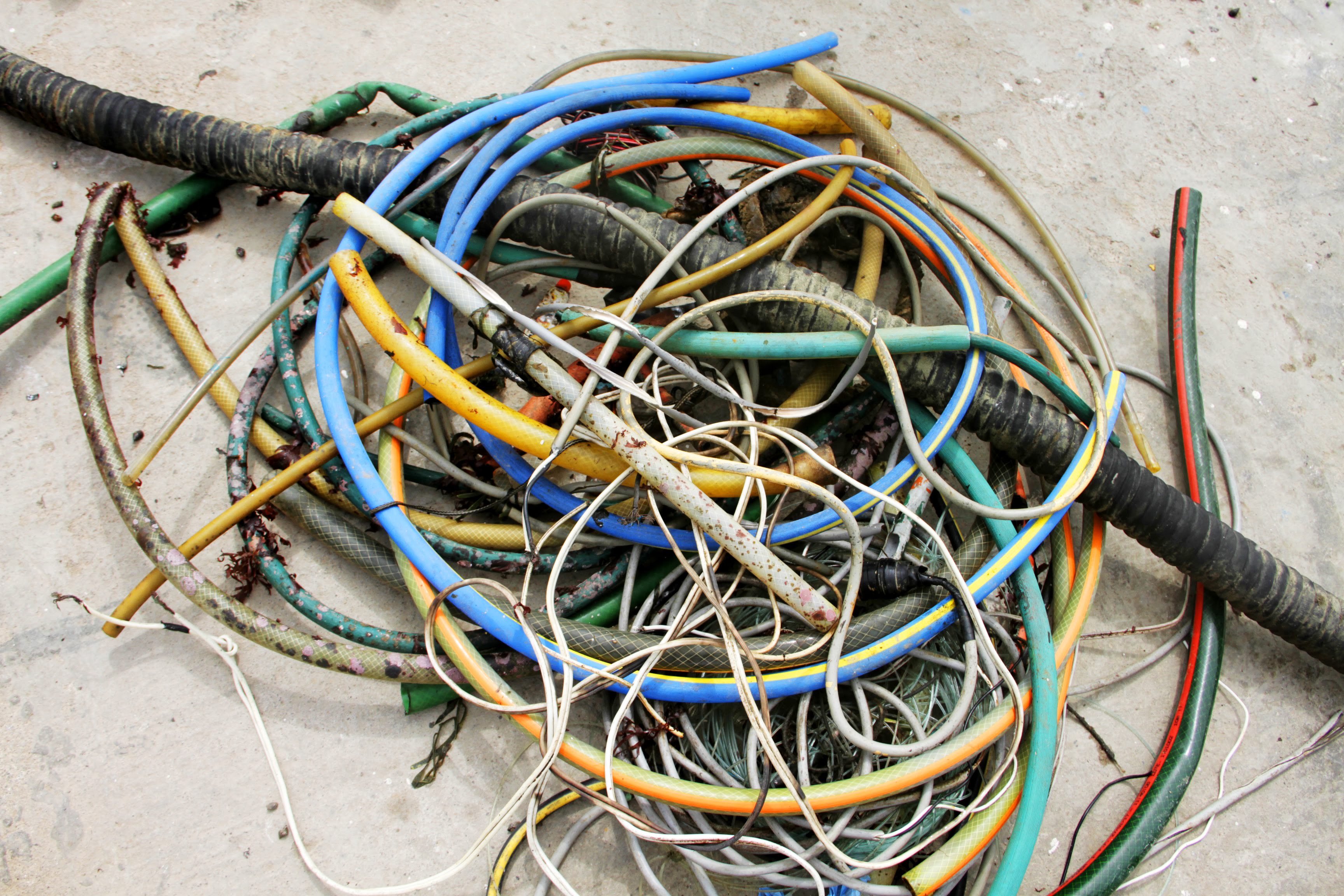
Lots of items to be removed, fishing season(s)
Will come back to this site for more clean up dives, this was just a check out dive to inspect the site for this upcoming dive season
Sunny
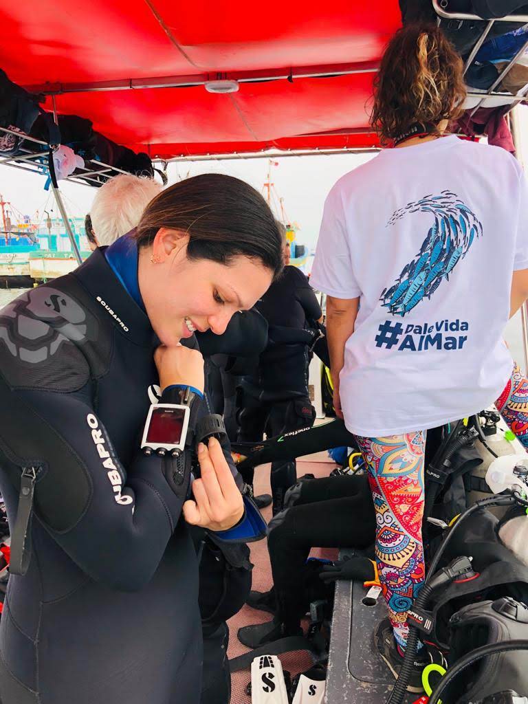
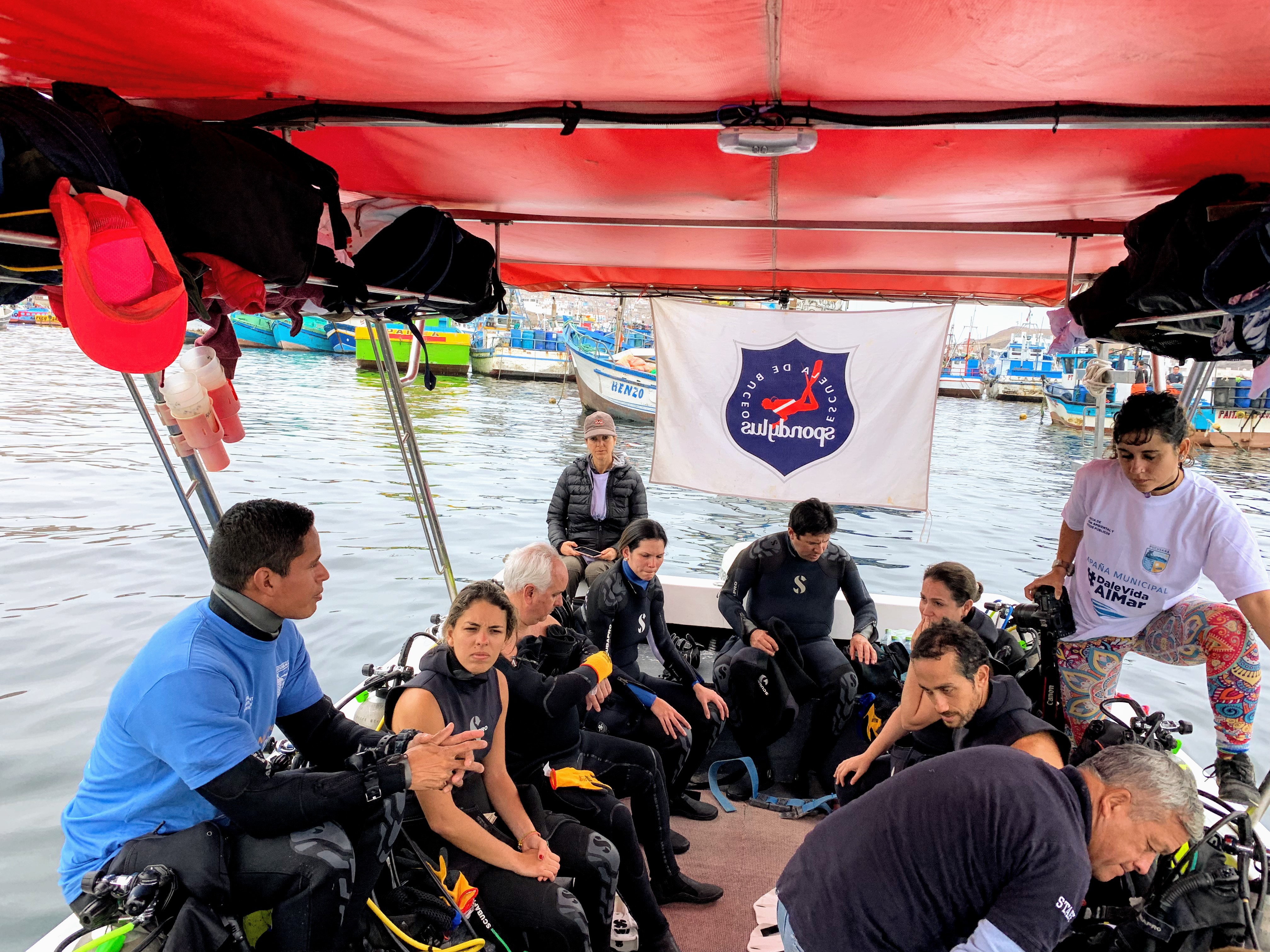
East Coast Scuba & Watersports
Tracy Gregory
2
0
2
15.00
45
35.00
15.00
estimated
2
300.00
On
pounds
I have debris data to report
13
Calm (glassy to rippled) for waves 0 – 0.1 meter high
Glass bottle
Released Unharmed
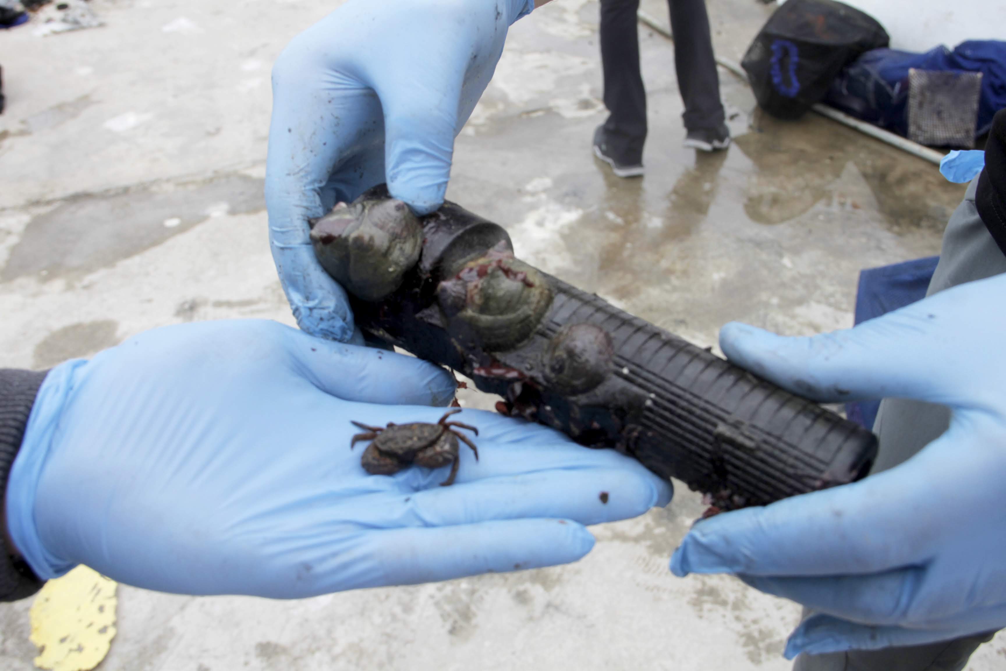
Unknown fish
Common crab
Released Unharmed
1
3
Glass bottle
ft2

feet
seagrass
0
0
0
0
0
0
0
0
0
0
0
0
0
0
2
0
1
0
0
0
0
0
0
0
0
State\Province
Nova Scotia
City
Bedford
Map Help
Dive Location
If you know your survey site coordinates, enter them manually in decimal degrees using WGS84 Map Datum. Use the minus sign for latitudes south of the equator and longitudes west of the Prime Meridian to 180 degrees.
If you do not know your survey site coordinates, click the “Map Location” tab to use the map to zoom into your survey site and drop the pin on the map to fall within your survey dive site in the water (not on land or the beach). Ensure you zoom in as much as possible to ensure data accuracy.
Entangled Help