Menu

ADS582 - Kings Beach

0
0
0
0

41.453271, -71.34177

0
0
0
gravel
0
0
0
0
0
Kalipso Dive Shop
Tim
0
0
0
0
0
0
0
0
0
0
0
0
0
0
0
0
0
0
0
6
0
0
0
0
0
0
0
0
0
0
0
0
0
0
0
0
0.25
60
35.00
10.00
0
estimated
0
0
0
0
50.18
0
0
0
0
0
0
On
pounds
0
I have debris data to report
0
0
0
Slight for waves 0.5 -1.25 meter high
0
0
0
0
0
0
0
m2
0
0
feet
rocky reef
0
0
0
0
0
0
0
0
0
0
0
0
0
0
0
0
2
0
0
0
0
0
0
0
0
0
0
0
0
United States
State\Province
Ri
City
Newport
Map Help


Dive Location

If you know your survey site coordinates, enter them manually in decimal degrees using WGS84 Map Datum. Use the minus sign for latitudes south of the equator and longitudes west of the Prime Meridian to 180 degrees.

If you do not know your survey site coordinates, click the “Map Location” tab to use the map to zoom into your survey site and drop the pin on the map to fall within your survey dive site in the water (not on land or the beach). Ensure you zoom in as much as possible to ensure data accuracy.

Entangled Help


Use the vertical tabs below to record any entangled animals you found of each type.

Emerald Reef

0
1
0

25.680734324895, -80.117778135488

7
0
0
coral
0
0
0
5
0
Calm
0
0
0
0
0
0
0
0
0
0
0
0
0
0
0
0
0
0
0
0
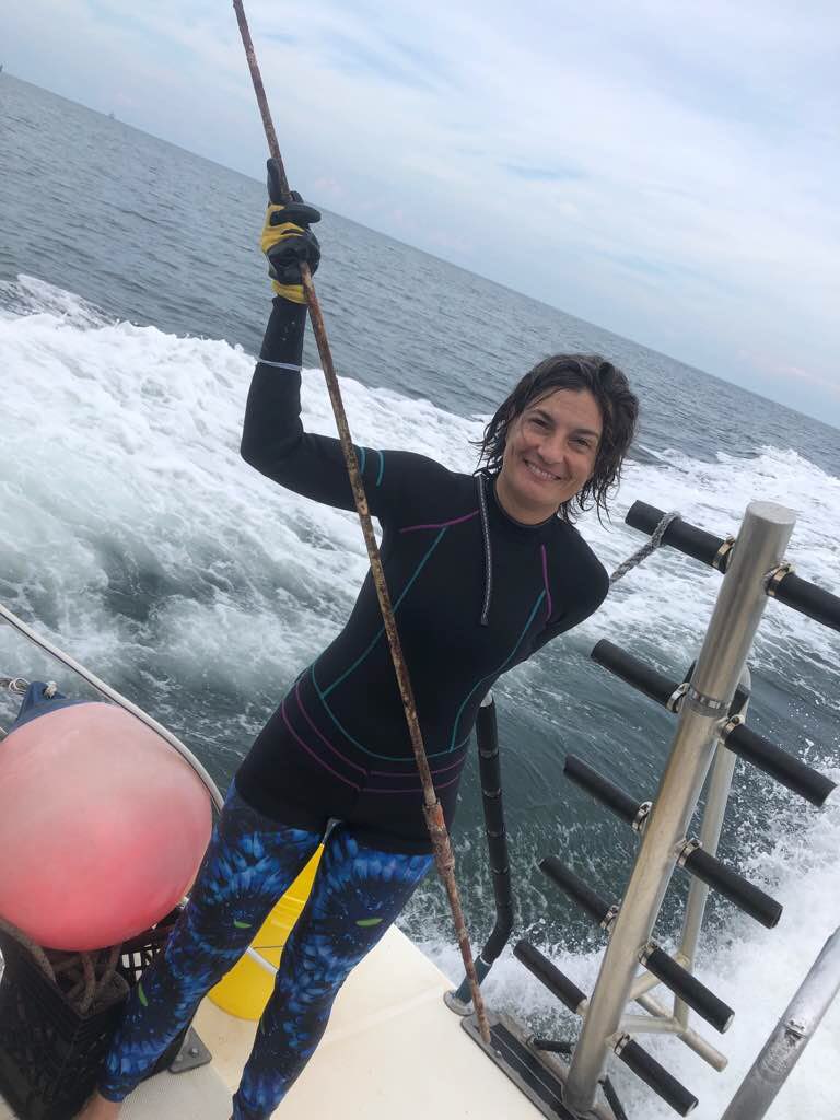
South Beach Divers
Madeline Kaufman
0
0
0
0
0
0
0
0
0
0
0
0
0
0
0
0
0
0
0
13
0
0
0
0
0
0
0
0
0
0
0
0
0
5
56.00
50
30.00
20.00
0
estimated
16
0
10000.00
0
0
0
0
0
0
On
pounds
0
I have debris data to report
2
0
0
Calm (glassy to rippled) for waves 0 – 0.1 meter high
0
0
0
0
1
0
0
ft2
8
0
0
feet
coral reef
1
0
0
0
0
0
0
0
0
0
0
0
0
0
0
0
1
0
0
0
0
0
0
0
0
0
0
0
United States
State\Province
FL
City
Miami
Map Help


Dive Location

If you know your survey site coordinates, enter them manually in decimal degrees using WGS84 Map Datum. Use the minus sign for latitudes south of the equator and longitudes west of the Prime Meridian to 180 degrees.

If you do not know your survey site coordinates, click the “Map Location” tab to use the map to zoom into your survey site and drop the pin on the map to fall within your survey dive site in the water (not on land or the beach). Ensure you zoom in as much as possible to ensure data accuracy.
Entangled Help


Use the vertical tabs below to record any entangled animals you found of each type.

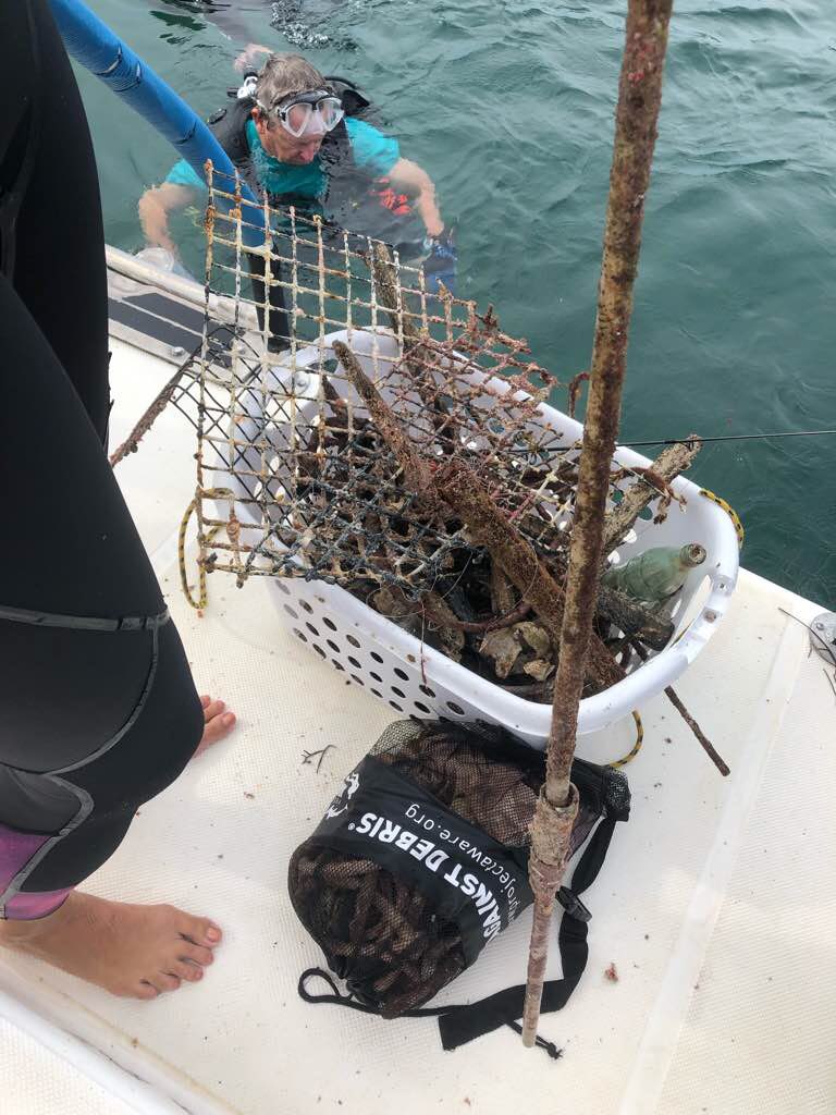
Carlisle Bay

4
0
0

13.091682907591, -59.616904786813

0
0
0
sand
0
0
0
3
0
Light
1
1
1
0
0
0
0
0
0
0
0
0
0
0
0
0
0
0
0
0
Sunglasses
Surfboard fragment
Light portable
West Side scuba
Dive Fest
0
0
0
18
0
0
0
0
2
0
0
0
0
0
0
0
0
0
0
9
0
0
1
0
0
0
0
0
1
0
0
0
0
1
45.00
60
40.00
20.00
0
estimated
0
1
12551.00
0
0
0
0
0
0
On
pounds
0
I have debris data to report
27
0
0
Calm (glassy to rippled) for waves 0 – 0.1 meter high
0
0
0
0
15
0
0
m2
3
0
feet
seagrass
3
0
0
1
1
0
0
0
0
0
0
0
0
0
0
0
4
0
0
0
0
0
0
0
0
0
0
0
Barbados
State\Province
Bridgetown
City
Bridgetown
Map Help


Dive Location

If you know your survey site coordinates, enter them manually in decimal degrees using WGS84 Map Datum. Use the minus sign for latitudes south of the equator and longitudes west of the Prime Meridian to 180 degrees.

If you do not know your survey site coordinates, click the “Map Location” tab to use the map to zoom into your survey site and drop the pin on the map to fall within your survey dive site in the water (not on land or the beach). Ensure you zoom in as much as possible to ensure data accuracy.
Entangled Help


Use the vertical tabs below to record any entangled animals you found of each type.

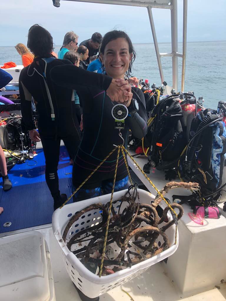
Neptune Memorial Reef

0
2
0

25.700168595673, -80.089984349981

1
0
0
sand
0
0
0
5
0
No
Monofilament
Calm
0
0
0
0
0
0
0
0
0
0
0
0
0
0
0
0
0
0
0
0
South Beach Divers
Madeline Kaufman
0
0
0
0
0
0
0
0
0
0
0
0
0
0
0
0
0
0
0
13
0
0
0
0
0
0
0
0
0
0
0
0
0
0
18.00
45
40.00
40.00
3
measured
0
2
500.00
0
0
0
0
0
0
On
pounds
0
I have debris data to report
0
0
0
Calm (glassy to rippled) for waves 0 – 0.1 meter high
0
0
0
0
0
0
0
ft2
0
0
3
Monofilament
Soft Coral
Dead
feet
other
2
0
0
0
0
0
0
0
0
0
0
0
0
0
0
0
0
0
0
0
0
0
0
0
0
0
0
0
United States
State\Province
FL
City
Miami
Map Help


Dive Location

If you know your survey site coordinates, enter them manually in decimal degrees using WGS84 Map Datum. Use the minus sign for latitudes south of the equator and longitudes west of the Prime Meridian to 180 degrees.

If you do not know your survey site coordinates, click the “Map Location” tab to use the map to zoom into your survey site and drop the pin on the map to fall within your survey dive site in the water (not on land or the beach). Ensure you zoom in as much as possible to ensure data accuracy.
Entangled Help


Use the vertical tabs below to record any entangled animals you found of each type.

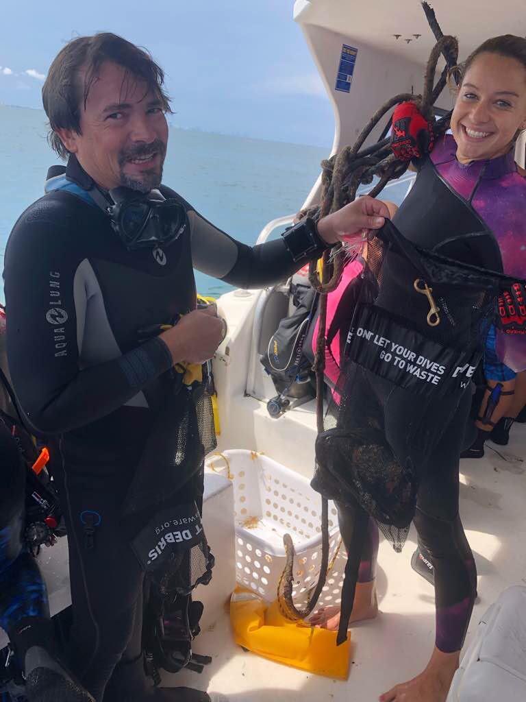
SAMBU-island

10
sand
2

34.05611832241, 127.39012892064

Sunny weather
Take's Skinscuba (S-27120)
KWAK JUSUNG
1
10
10
2
3
2
2
1
45.00
42
25.00
1.00
estimated
2
4
10694.00
2
1
10
clothing
Fishing line
1
On
kilograms
I have debris data to report
3
4
1
Calm (glassy to rippled) for waves 0 – 0.1 meter high
1
1
m2
1
meters
rocky reef
2
2
2
1
4
1
1
1
South Korea
State\Province
Hwajeong-dong, Seo-gu
City
Gwangju
Map Help


Dive Location

If you know your survey site coordinates, enter them manually in decimal degrees using WGS84 Map Datum. Use the minus sign for latitudes south of the equator and longitudes west of the Prime Meridian to 180 degrees.

If you do not know your survey site coordinates, click the “Map Location” tab to use the map to zoom into your survey site and drop the pin on the map to fall within your survey dive site in the water (not on land or the beach). Ensure you zoom in as much as possible to ensure data accuracy.
Entangled Help


Use the vertical tabs below to record any entangled animals you found of each type.

namhae hangdo island

6

34.740458744606, 128.04951240497

silt
45
5

34.739725962958, 128.05914804264

A warm spring day
Take's Skinscuba (S-27120)
KWAK JUSUNG
5
8
3
1
2
10
3
3
1
2
2
15.00
10
14.00
1.00
estimated
1
2
1651.00
1
Fishing line
1
On
kilograms
2
I have debris data to report
3
Smooth (wavelets) for waves 0.1 - 0.5 meter high
2
1
m2
meters
other
1
2
1
5
2
2
3
1
2
South Korea
State\Province
Hwajeong-dong, Seo-gu
City
Gwangju-si
Map Help


Dive Location

If you know your survey site coordinates, enter them manually in decimal degrees using WGS84 Map Datum. Use the minus sign for latitudes south of the equator and longitudes west of the Prime Meridian to 180 degrees.

If you do not know your survey site coordinates, click the “Map Location” tab to use the map to zoom into your survey site and drop the pin on the map to fall within your survey dive site in the water (not on land or the beach). Ensure you zoom in as much as possible to ensure data accuracy.

Entangled Help


Use the vertical tabs below to record any entangled animals you found of each type.

Ecosystem Other
Gunso(Sea Hare)

Carlisle bay

2
0
0

13.08622415979, -59.611156403072

0
0
0
sand
0
0
0
0
0
Slight wind
0
0
0
0
0
0
0
0
0
0
0
0
0
0
0
0
0
0
0
0
Barbados Blue
Dive Fest 2019
0
0
0
2
0
0
0
0
0
0
0
0
0
0
0
0
0
0
0
6
0
0
0
0
0
0
0
0
0
0
0
0
0
0
1.00
56
18.00
16.00
0
estimated
0
0
8938.77
0
0
0
0
0
0
On
pounds
0
I have debris data to report
0
0
0
Calm (glassy to rippled) for waves 0 – 0.1 meter high
0
0
0
0
0
0
0
m2
0
0
meters
coral reef
0
0
0
0
0
0
0
0
0
0
0
0
0
0
0
0
0
0
0
0
0
0
0
0
0
0
0
0
Barbados
State\Province
Barbados
City
Bridgetown
Map Help


Dive Location

If you know your survey site coordinates, enter them manually in decimal degrees using WGS84 Map Datum. Use the minus sign for latitudes south of the equator and longitudes west of the Prime Meridian to 180 degrees.

If you do not know your survey site coordinates, click the “Map Location” tab to use the map to zoom into your survey site and drop the pin on the map to fall within your survey dive site in the water (not on land or the beach). Ensure you zoom in as much as possible to ensure data accuracy.

Entangled Help


Use the vertical tabs below to record any entangled animals you found of each type.

Ilha das Cabras

1
2
4
sand
2

-23.830148634506, -45.392258661278

Rain
Colonial Diver
Mara Lott
8
2
3.00
60
9.00
1.00
estimated
2
600.00
fishing gear
plastic
sewage
On
kilograms
I have debris data to report
1
Smooth (wavelets) for waves 0.1 - 0.5 meter high m2
7
beverage can
coral
Released Unharmed
meters
coral reef
3
6
6
6
Brazil
State\Province
São Paulo
City
Ilhabela
Map Help


Dive Location

If you know your survey site coordinates, enter them manually in decimal degrees using WGS84 Map Datum. Use the minus sign for latitudes south of the equator and longitudes west of the Prime Meridian to 180 degrees.

If you do not know your survey site coordinates, click the “Map Location” tab to use the map to zoom into your survey site and drop the pin on the map to fall within your survey dive site in the water (not on land or the beach). Ensure you zoom in as much as possible to ensure data accuracy.
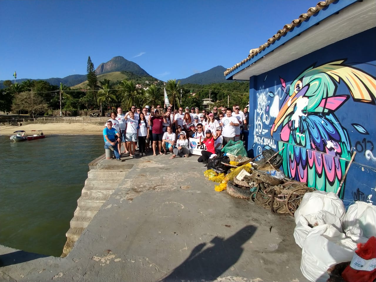
Entangled Help


Use the vertical tabs below to record any entangled animals you found of each type.

Pier da Vila

sand
1

-23.777608865178, -45.359889567766

Sweater
Rain
Oceano Sub
Junior Azevedo
2
1
9
1
2
50.00
70
3.00
1.00
estimated
15
2000.00
Botles
Fishing Gear
Broken Glass
On
kilograms
I have debris data to report
25
2
Calm (glassy to rippled) for waves 0 – 0.1 meter high
1
m2
meters
other
2
2
1
1
1
2
1
4
1
Brazil
State\Province
São Paulo
City
Ilhabela
Map Help


Dive Location

If you know your survey site coordinates, enter them manually in decimal degrees using WGS84 Map Datum. Use the minus sign for latitudes south of the equator and longitudes west of the Prime Meridian to 180 degrees.

If you do not know your survey site coordinates, click the “Map Location” tab to use the map to zoom into your survey site and drop the pin on the map to fall within your survey dive site in the water (not on land or the beach). Ensure you zoom in as much as possible to ensure data accuracy.

Entangled Help


Use the vertical tabs below to record any entangled animals you found of each type.

Ecosystem Other
Port

ADS148 - Twin Peaks

10.117279, 99.812562

sand
cloudy
Eco Koh Tao - Crystal Dive
Jennifer Dowling
1
0
3
0.00
42
15.00
6.00
estimated
40.00
rubber band
cigarette filter
2
On
kilograms
I have debris data to report
Slight for waves 0.5 -1.25 meter high m2
meters
coral reef
Thailand
State\Province
Surat Thani
City
Koh Tao
Map Help


Dive Location

If you know your survey site coordinates, enter them manually in decimal degrees using WGS84 Map Datum. Use the minus sign for latitudes south of the equator and longitudes west of the Prime Meridian to 180 degrees.

If you do not know your survey site coordinates, click the “Map Location” tab to use the map to zoom into your survey site and drop the pin on the map to fall within your survey dive site in the water (not on land or the beach). Ensure you zoom in as much as possible to ensure data accuracy.

Entangled Help


Use the vertical tabs below to record any entangled animals you found of each type.

Subscribe to