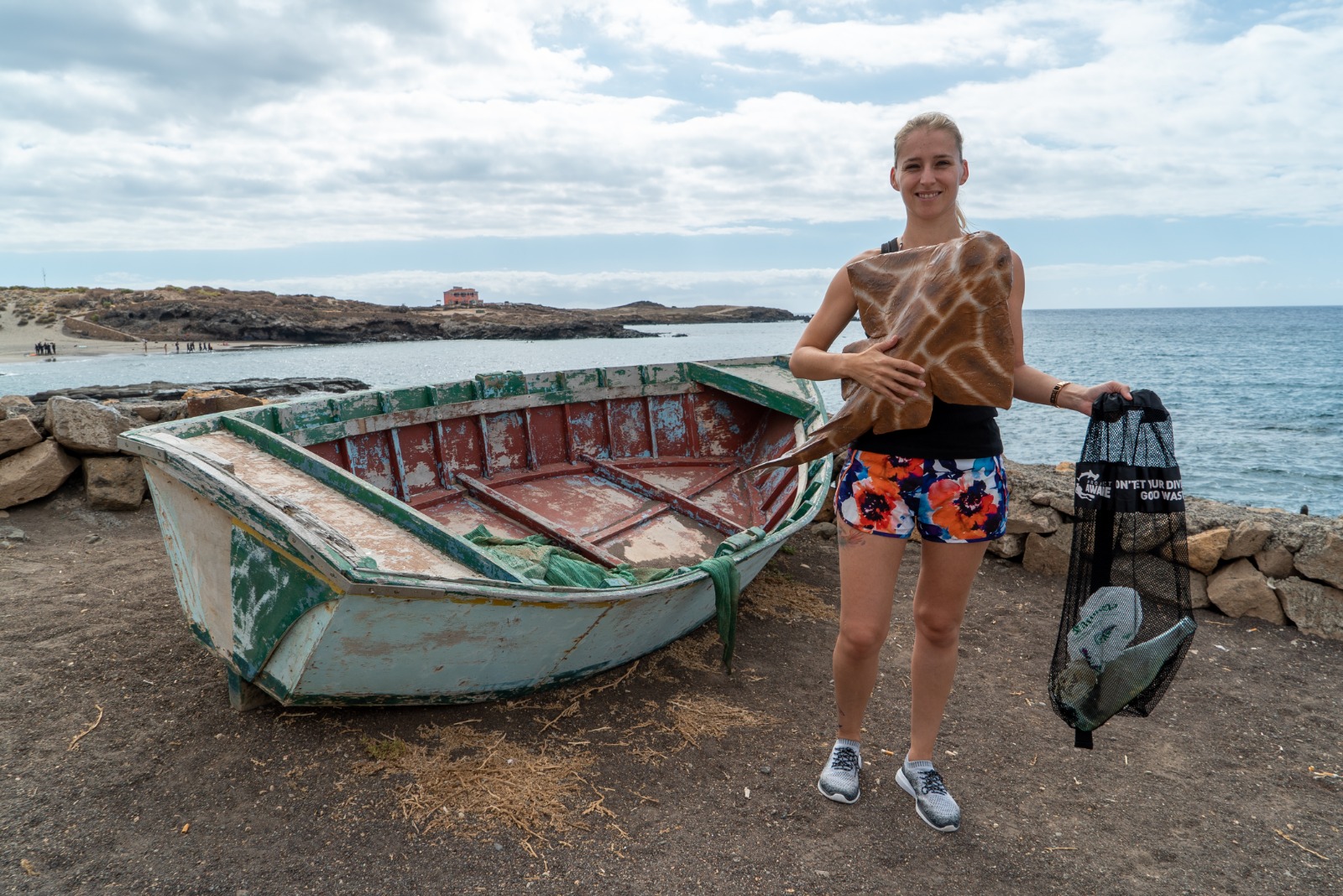
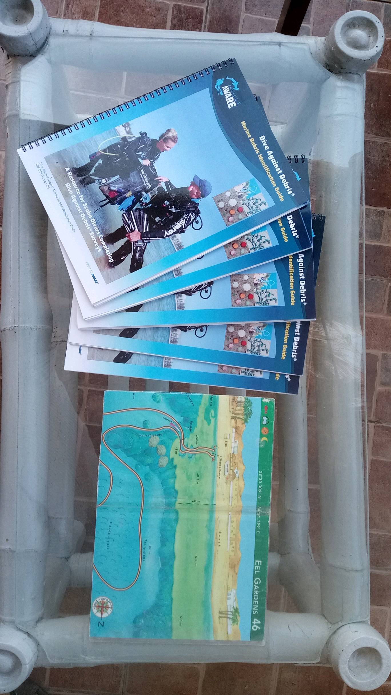
ADS553 - Mary's Place
0
0
0
0
16.338723, -86.471106
0
0
0
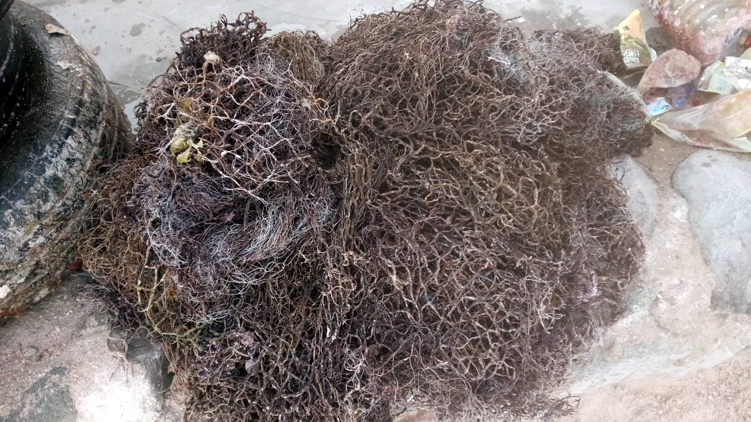
coral
0
0
0
0
0
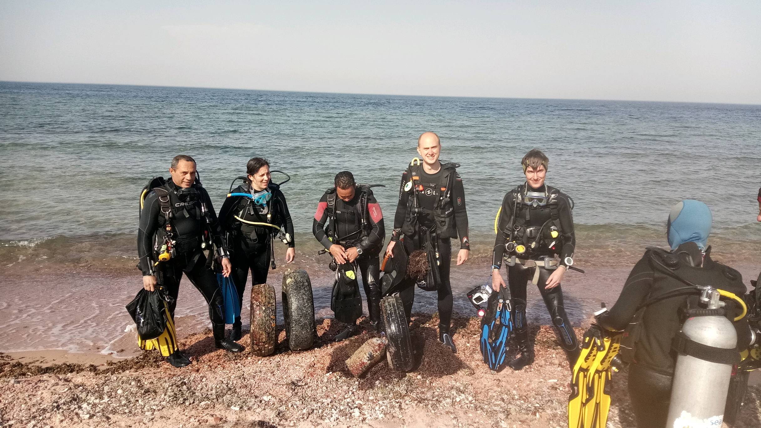
The winds had been UNUSUALLY high since the May Dive Against Debris (18-28 knots daily)...that plus the lack of rain in June seems to have kept the area clear.
Windy, choppy, 18 knot winds, 1.8 meter seas
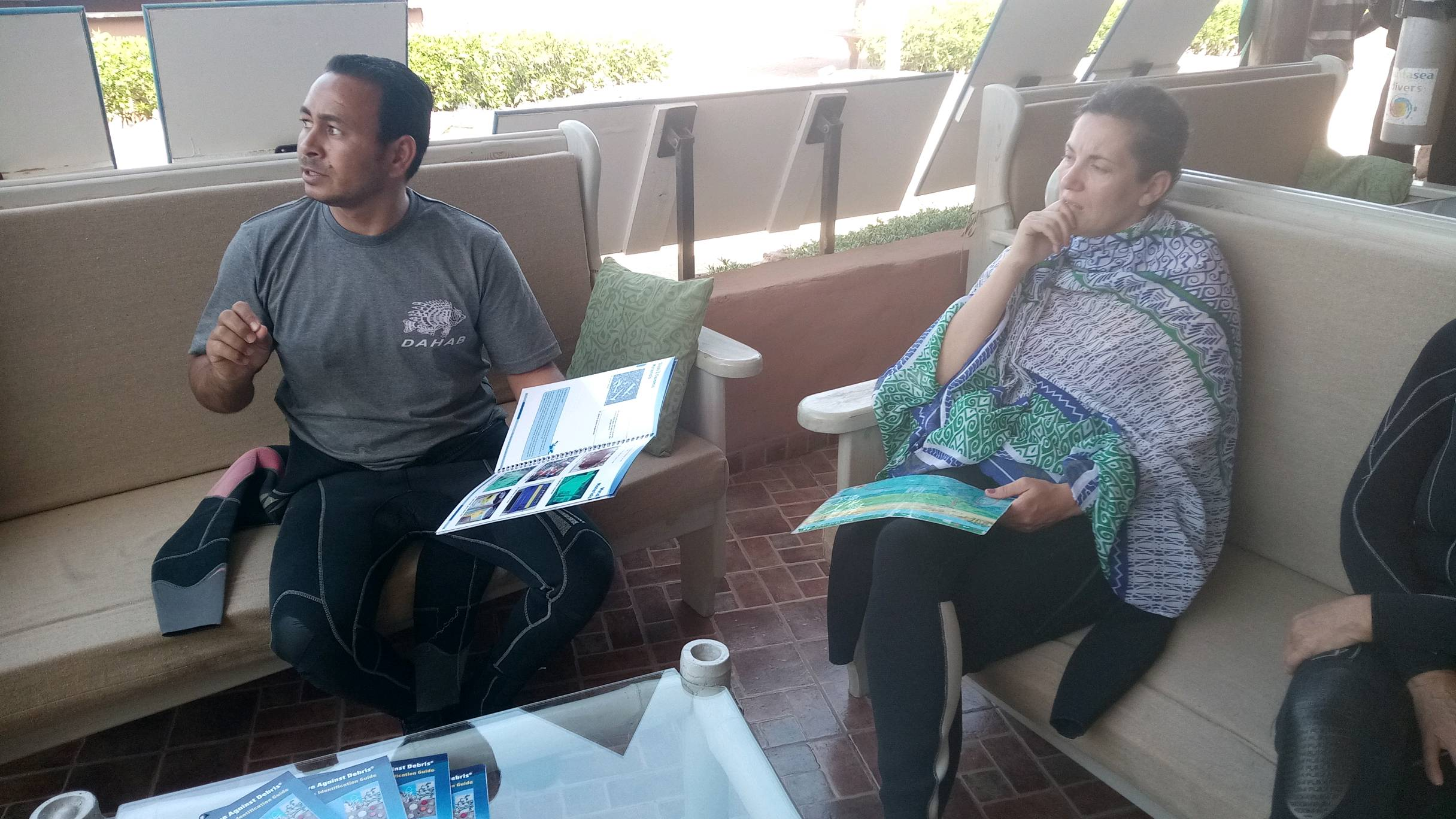
Barefoot Divers
Ronal Reyes
0
0
0
0
0
0
0
0
0
0
0
0
0
0
0
0
0
0
0
5
0
0
0
0
0
0
0
0
0
0
0
0
0
0
0
0
0.00
45
80.00
20.00
0
estimated
0
0
0
0
1346.96
0
0
0
0
0
0
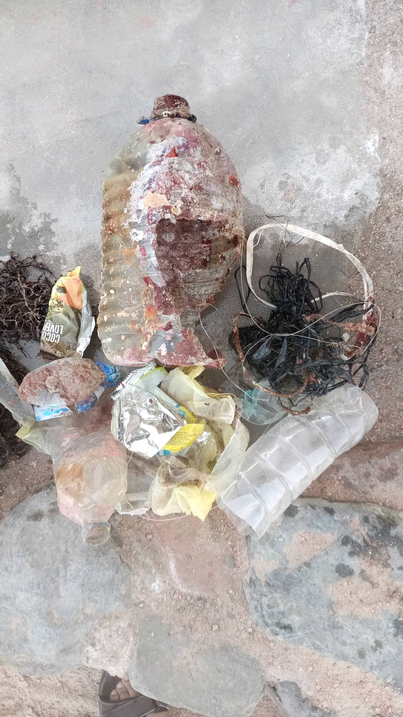
On
kilograms
0
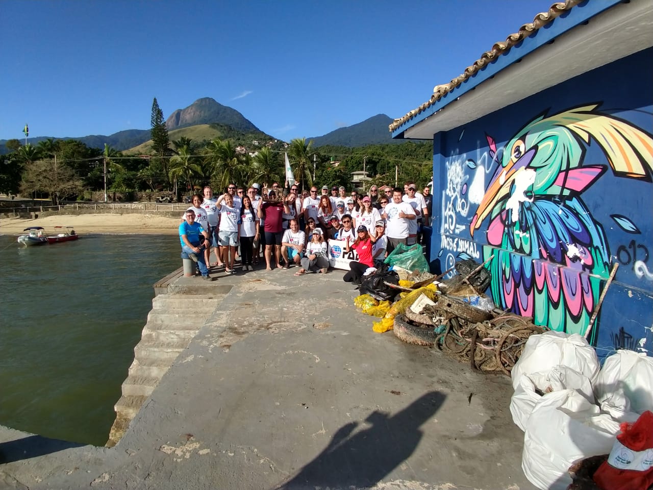
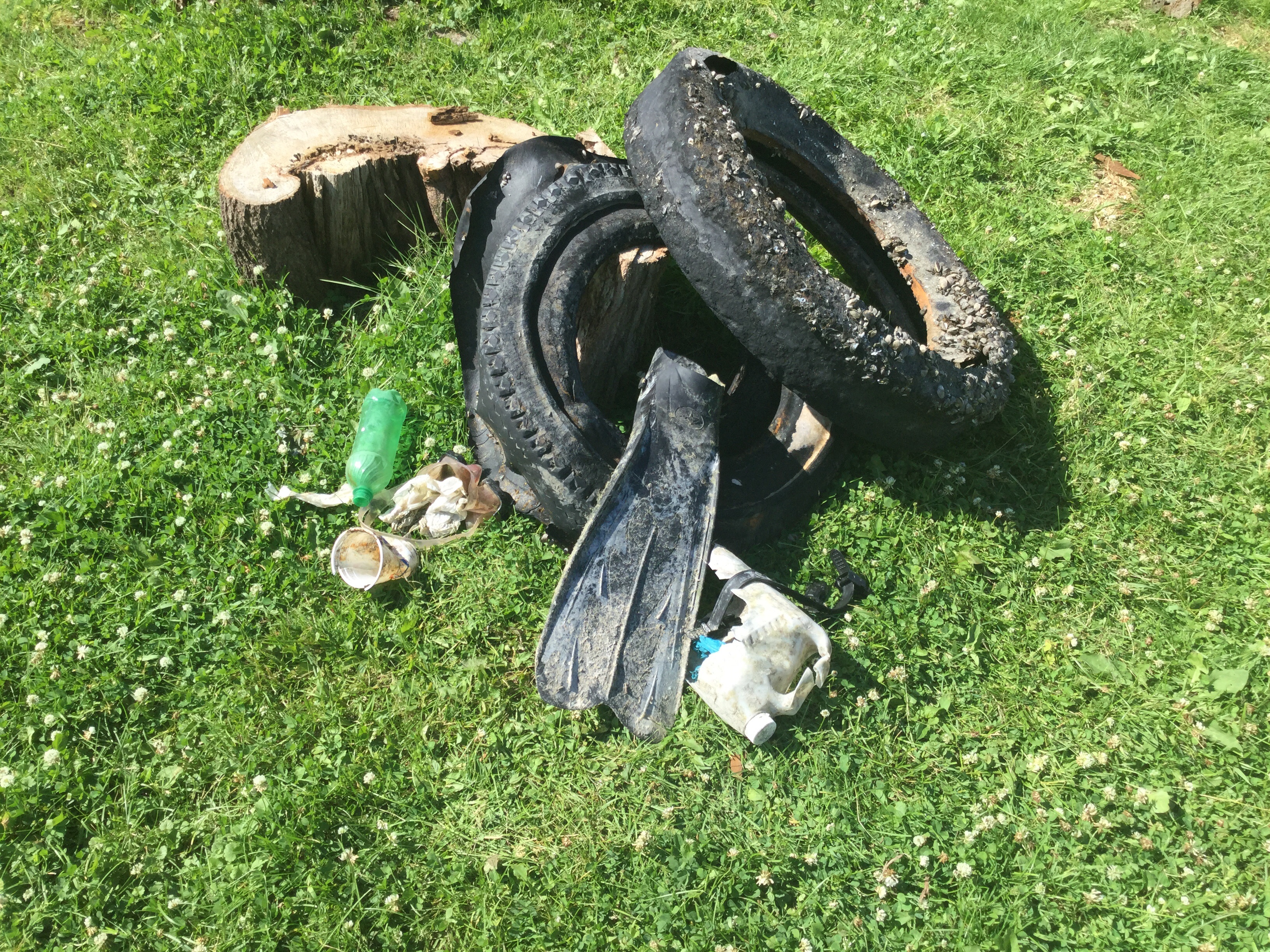
Our Survey Site was free of debris
0
0
0
Moderate to rough for waves greater than 1.25 meters
0
0
0
0
0
0
0
m2
0
0
feet
coral reef
0
0
0
0
0
0
0
0
0
0
0
0
0
0
0
0
0
0
0
0
0
0
0
0
0
0
0
0
0
State\Province
Roatan, Bay Islands
City
French Harbour
Map Help
Dive Location
If you know your survey site coordinates, enter them manually in decimal degrees using WGS84 Map Datum. Use the minus sign for latitudes south of the equator and longitudes west of the Prime Meridian to 180 degrees.
If you do not know your survey site coordinates, click the “Map Location” tab to use the map to zoom into your survey site and drop the pin on the map to fall within your survey dive site in the water (not on land or the beach). Ensure you zoom in as much as possible to ensure data accuracy.
Entangled Help