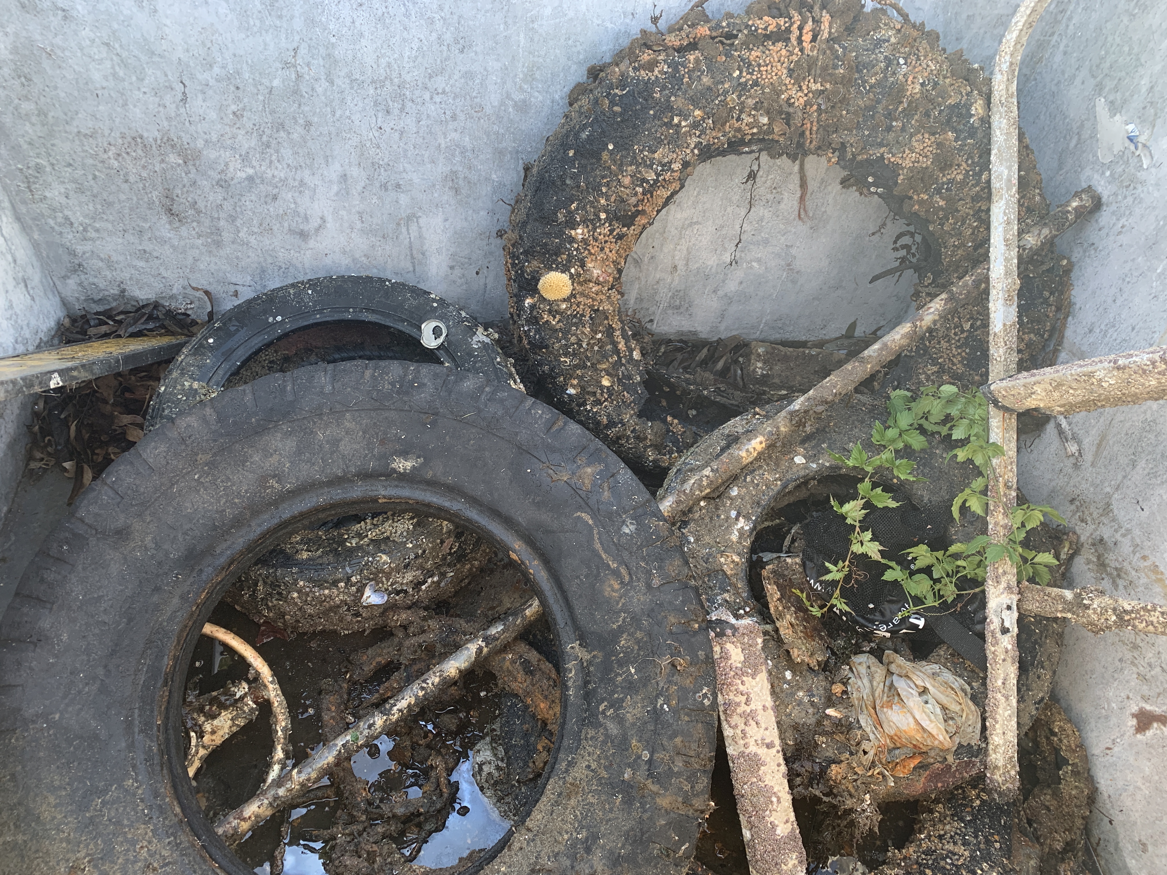
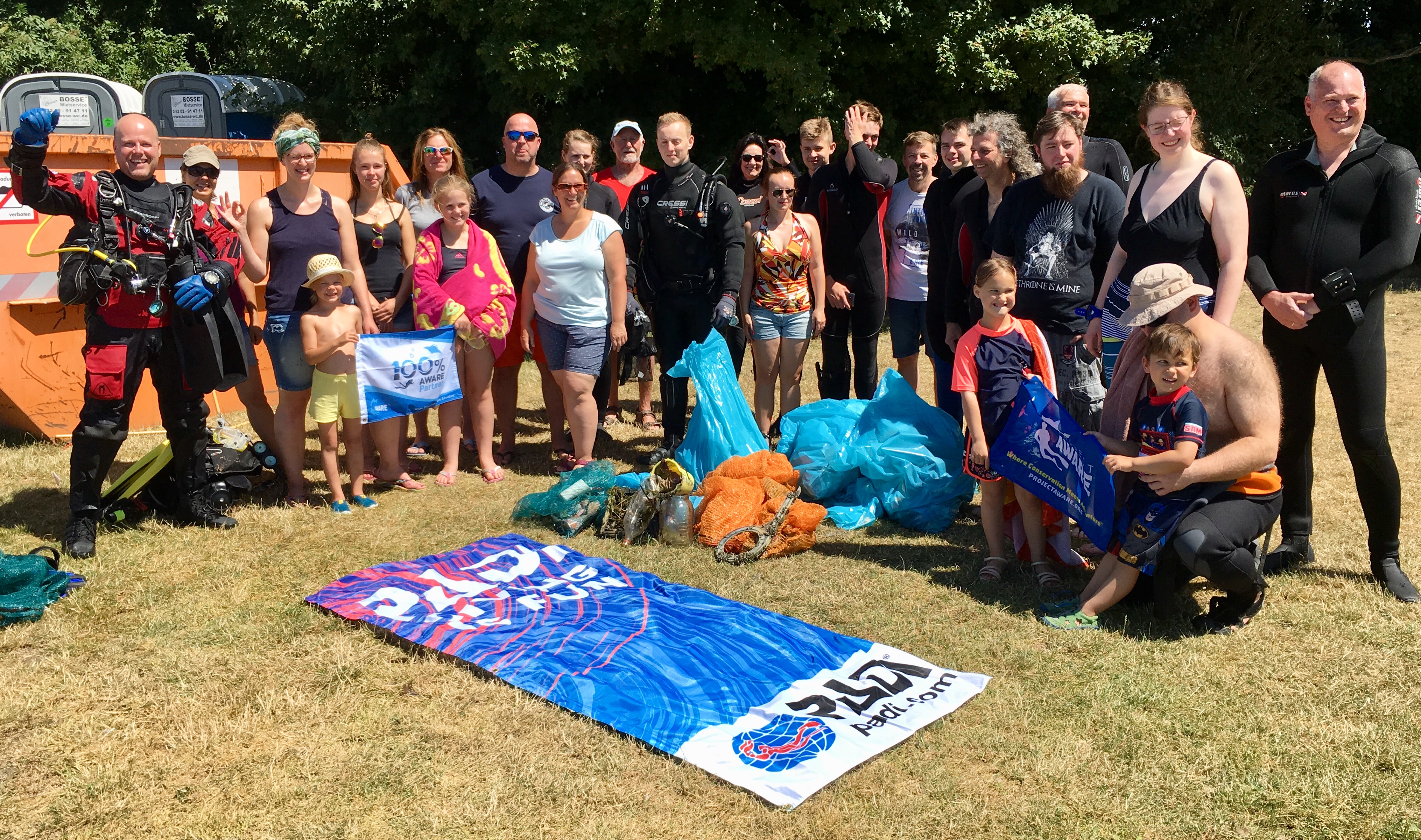
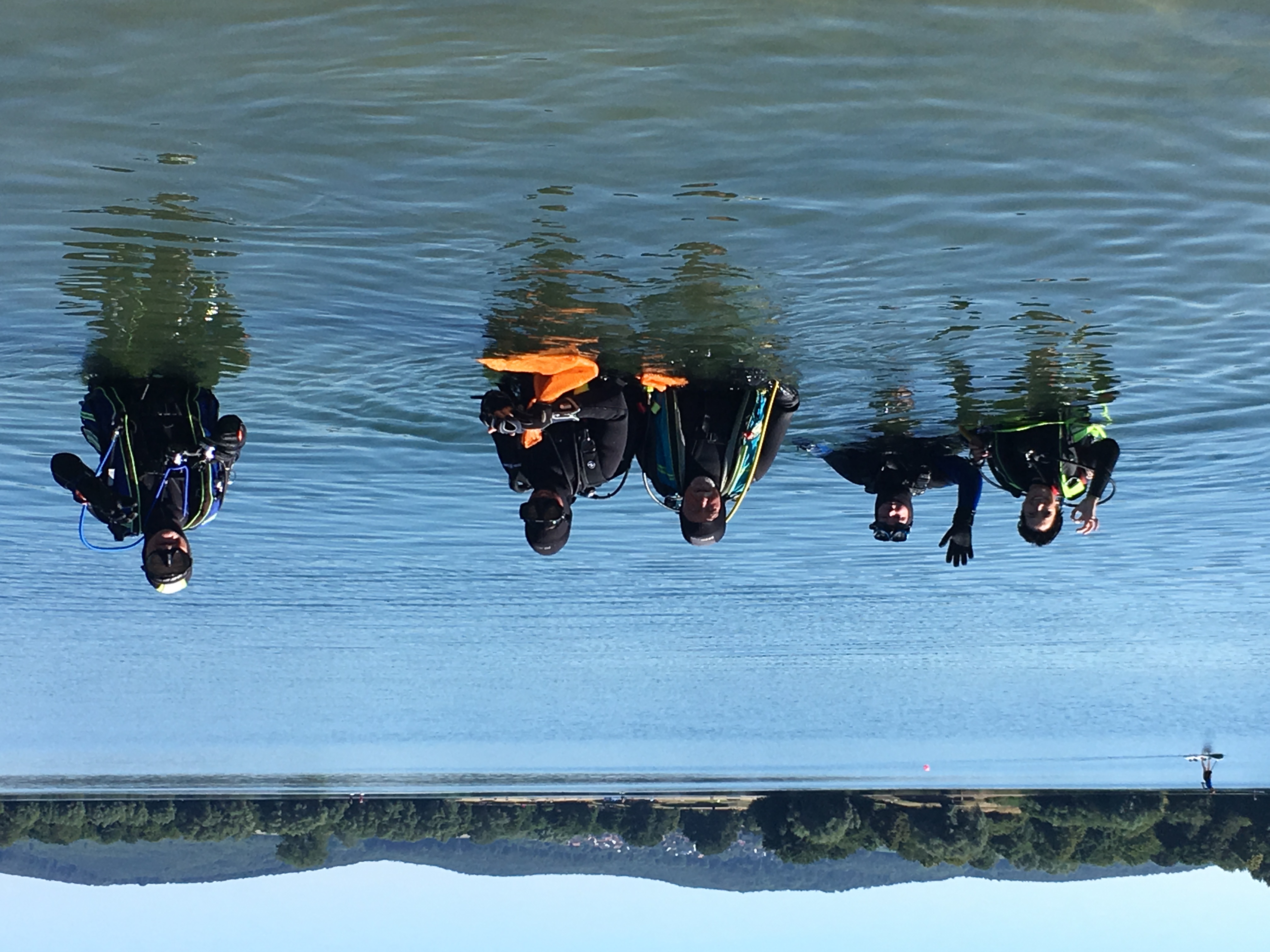
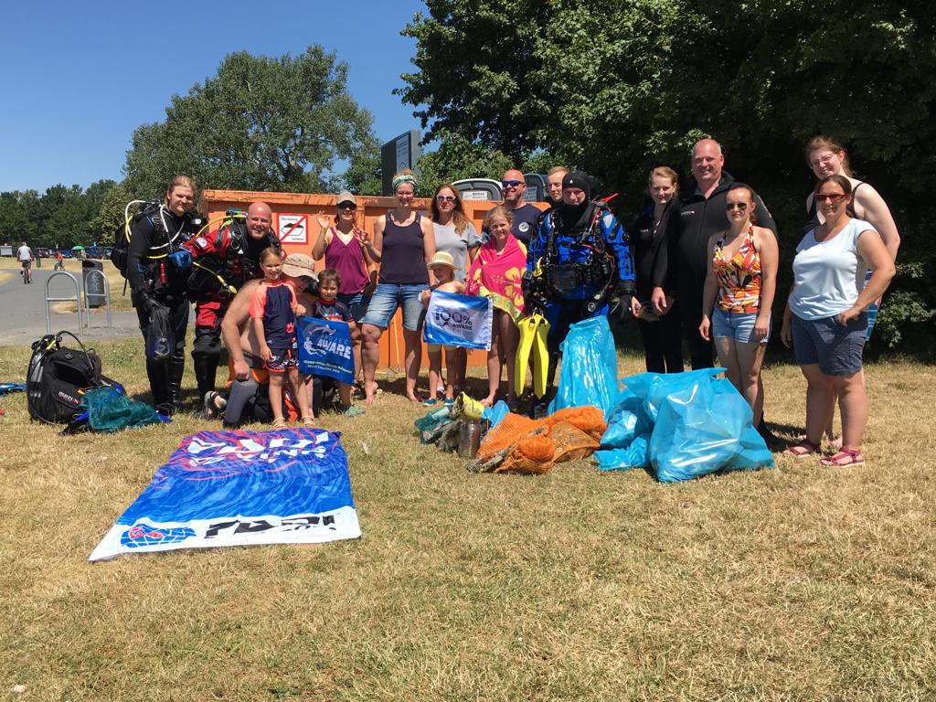
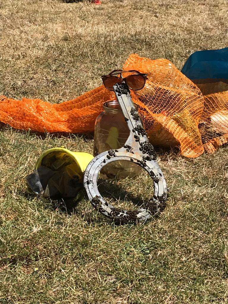
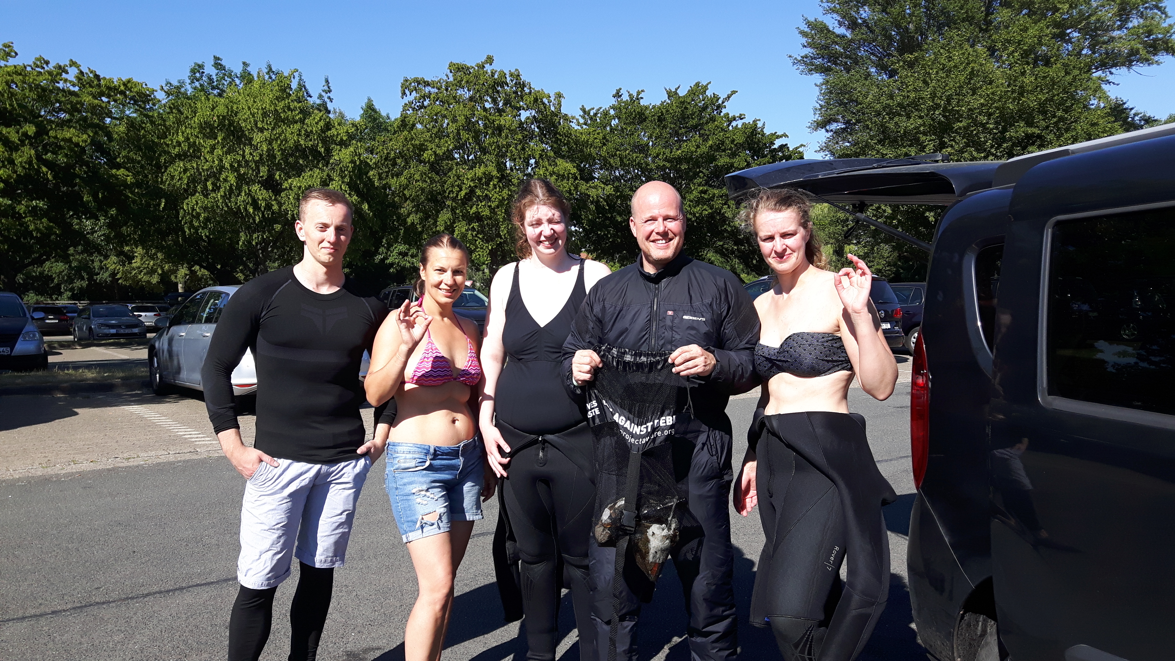
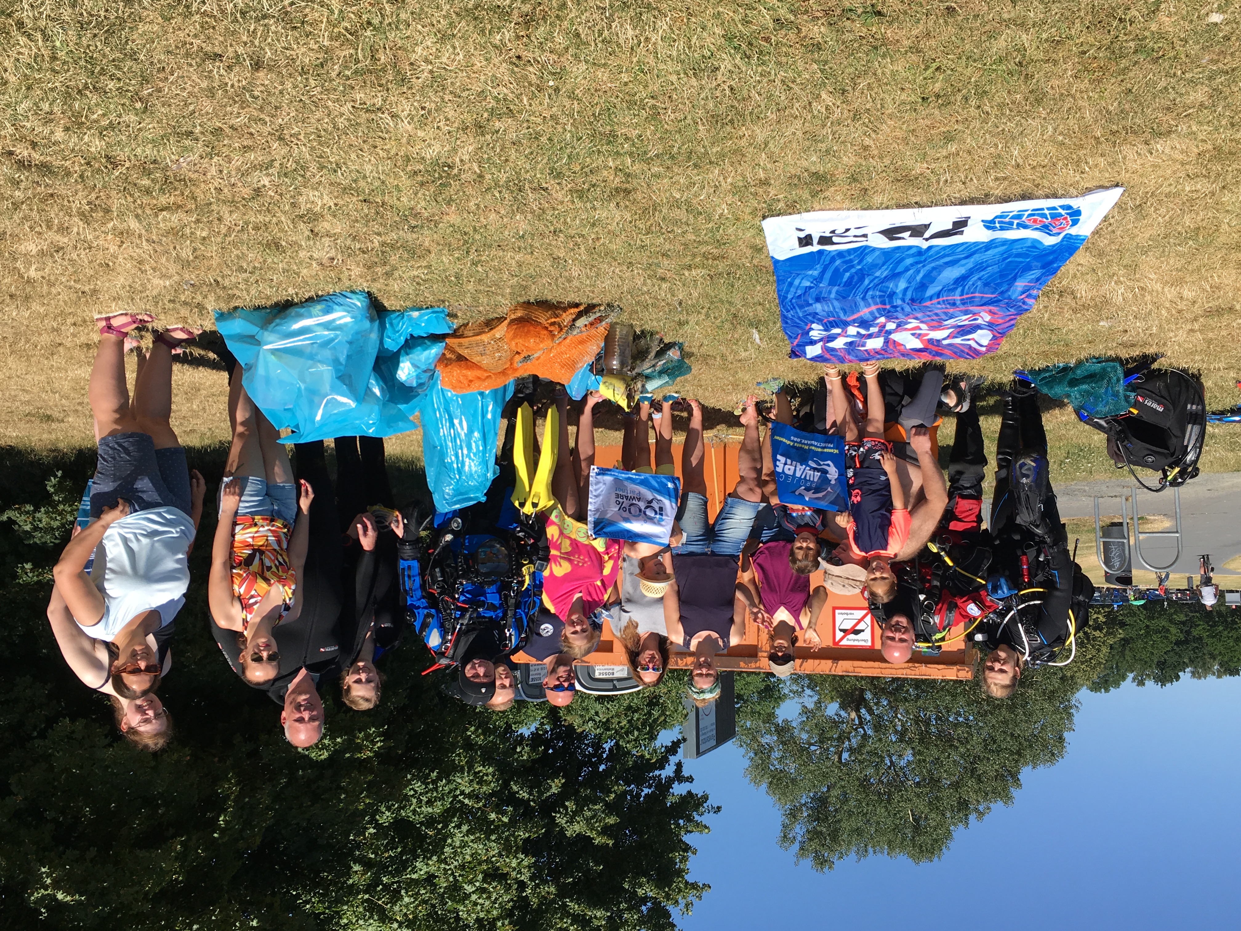
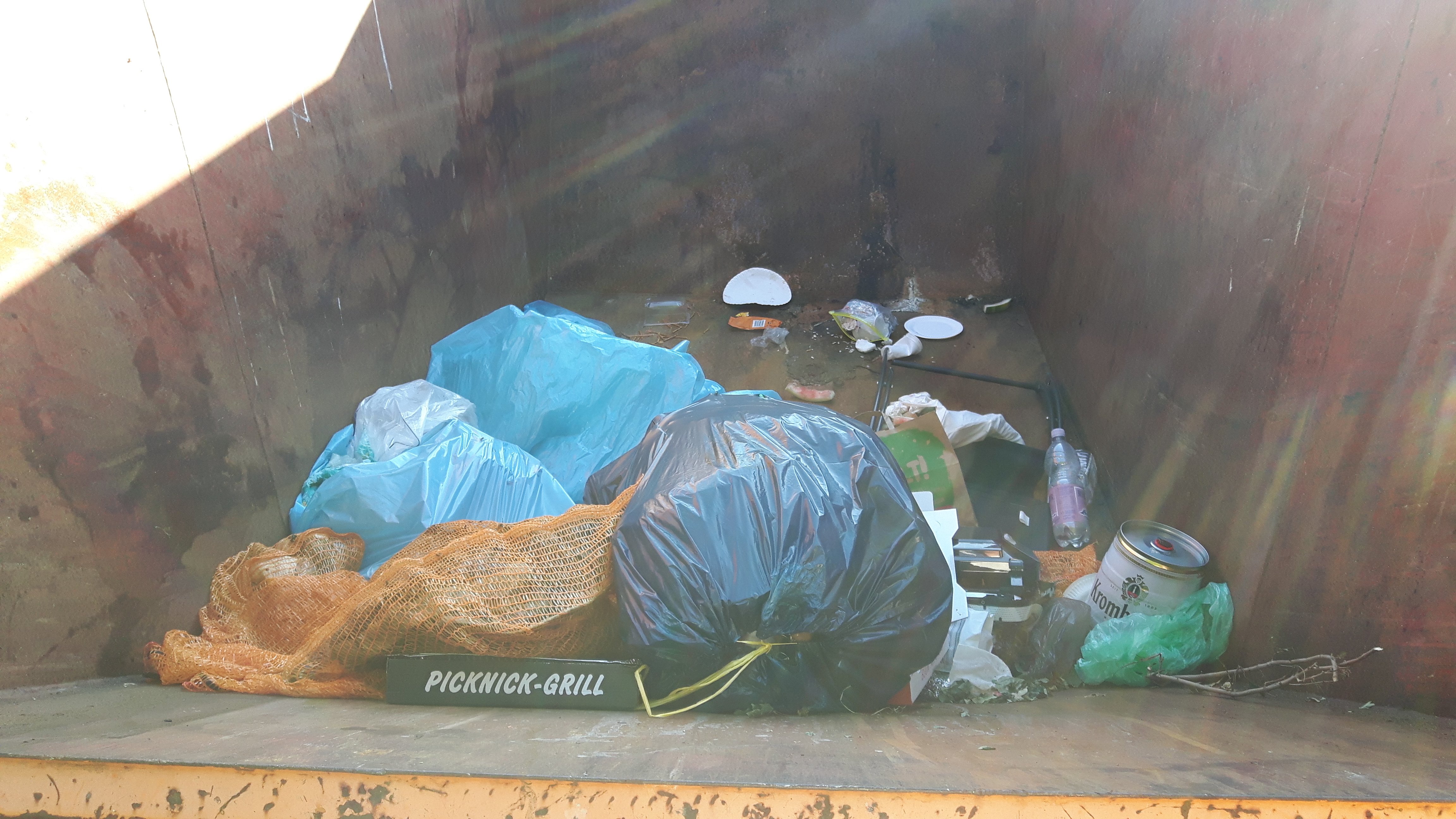
Regular clean ups by divers means that very little rubbish is now found in the reef. Also regular beach cleanups mean that there is less rubbish on shore waiting to be blown into the sea.
Sunny, Slight wind blowing from the north east.
Pharaoh Dive Club
Clare Rattle
2
0.00
47
15.00
1.00
measured
118.00
On
kilograms
Our Survey Site was free of debris
Smooth (wavelets) for waves 0.1 - 0.5 meter high
m2
meters
coral reef
Egypt
State\Province
Red Sea
City
El Quseir
Map Help
Dive Location
If you know your survey site coordinates, enter them manually in decimal degrees using WGS84 Map Datum. Use the minus sign for latitudes south of the equator and longitudes west of the Prime Meridian to 180 degrees.
If you do not know your survey site coordinates, click the “Map Location” tab to use the map to zoom into your survey site and drop the pin on the map to fall within your survey dive site in the water (not on land or the beach). Ensure you zoom in as much as possible to ensure data accuracy.
Entangled Help
Use the vertical tabs below to record any entangled animals you found of each type.
Smooth (wavelets) for waves 0.1 - 0.5 meter high
m2
meters
rocky reef
Language
English
Greece
Map Help
Dive Location
If you know your survey site coordinates, enter them manually in decimal degrees using WGS84 Map Datum. Use the minus sign for latitudes south of the equator and longitudes west of the Prime Meridian to 180 degrees.
If you do not know your survey site coordinates, click the “Map Location” tab to use the map to zoom into your survey site and drop the pin on the map to fall within your survey dive site in the water (not on land or the beach). Ensure you zoom in as much as possible to ensure data accuracy.
Entangled Help
Use the vertical tabs below to record any entangled animals you found of each type.
hats from the cruise ship passengers, plastic cups from near bar, paper cartoon from actual construction in front of the dive site.
welding face shield.
good
1
1
welding face shield.
small bbq sauce plastic wrap(cup)
Goby Divers Curaçao
Andhiela Buso
1
17
1
13
3
12
3
1
25.00
60
55.00
2.00
1
estimated
5000.00
fishing lines.
plastic cups and bottles;
beer bottles pieces.
On
kilograms
I have debris data to report
8
Slight for waves 0.5 -1.25 meter high
1
3
1
m2
meters
coral reef
1
4
6
Language
English
Netherlands Antilles
City
Willemstad
Map Help
Dive Location
If you know your survey site coordinates, enter them manually in decimal degrees using WGS84 Map Datum. Use the minus sign for latitudes south of the equator and longitudes west of the Prime Meridian to 180 degrees.
If you do not know your survey site coordinates, click the “Map Location” tab to use the map to zoom into your survey site and drop the pin on the map to fall within your survey dive site in the water (not on land or the beach). Ensure you zoom in as much as possible to ensure data accuracy.
Entangled Help
Use the vertical tabs below to record any entangled animals you found of each type.
Calm (glassy to rippled) for waves 0 – 0.1 meter high
m2
meters
rocky reef
Language
English
South Korea
City
YANG YANG
Map Help
Dive Location
If you know your survey site coordinates, enter them manually in decimal degrees using WGS84 Map Datum. Use the minus sign for latitudes south of the equator and longitudes west of the Prime Meridian to 180 degrees.
If you do not know your survey site coordinates, click the “Map Location” tab to use the map to zoom into your survey site and drop the pin on the map to fall within your survey dive site in the water (not on land or the beach). Ensure you zoom in as much as possible to ensure data accuracy.
Entangled Help
Use the vertical tabs below to record any entangled animals you found of each type.
Calm (glassy to rippled) for waves 0 – 0.1 meter high
5
m2
meters
rocky reef
1
2
2
Language
English
Australia
State\Province
NSW
City
Tuncurry
Map Help
Dive Location
If you know your survey site coordinates, enter them manually in decimal degrees using WGS84 Map Datum. Use the minus sign for latitudes south of the equator and longitudes west of the Prime Meridian to 180 degrees.
If you do not know your survey site coordinates, click the “Map Location” tab to use the map to zoom into your survey site and drop the pin on the map to fall within your survey dive site in the water (not on land or the beach). Ensure you zoom in as much as possible to ensure data accuracy.
Entangled Help
Use the vertical tabs below to record any entangled animals you found of each type.
Am Samstag war es soweit -Clean Up und Dive against Debris am Salzgittersee. Eine Kooperation unseres Vereins mit dem ansässigen TC Sepia. Es war eine super Sache! Viele Hände und Augen, unter, wie auch über Wasser. Wir waren erfreut darüber, dass der See als solches weniger verschmutzt war als befürchtet, so darf es auch bleiben. Jedenfalls können wir anhand der vorliegenden Sammlung nun Sonnenbrillen verkaufen! Danke an ALLE für euren Einsatz!!! Eine tolle Gastfreundschaft des TC Sepia durften wir erleben. Hier ein paar der Teilnehmer: Merle Hansen, Thomas Hansen, Christiane Häger, Sascha Schmidtt, Son Ja, Falk Vollnhalss, Andreas Dittmerr, Antje Koppitz, Julia Rafezederr, Horst Hibbelnn, Michael Schusterr, Oliver Arsenjukk, Marcel Leisterr und noch viele mehr......ich ward spitze!!!!
Printer
sunshine. 30degree in the air. 20degree in the water.
Blue World Diver e.V. Braunschweig
Sascha Koppitz
5
7
9
5
1
15
6
14
4
1
23
11
20
5
80.00
45
6.00
2.00
4
estimated
2000.00
plastic
fishing lines
knives
On
kilograms
I have debris data to report
12
Calm (glassy to rippled) for waves 0 – 0.1 meter high
7
3
m2
meters
other
1
8
1
1
1
5
Language
English
Germany
State\Province
Niedersachsen
City
Braunschweig
Map Help
Dive Location
If you know your survey site coordinates, enter them manually in decimal degrees using WGS84 Map Datum. Use the minus sign for latitudes south of the equator and longitudes west of the Prime Meridian to 180 degrees.
If you do not know your survey site coordinates, click the “Map Location” tab to use the map to zoom into your survey site and drop the pin on the map to fall within your survey dive site in the water (not on land or the beach). Ensure you zoom in as much as possible to ensure data accuracy.
Entangled Help
Use the vertical tabs below to record any entangled animals you found of each type.
Calm (glassy to rippled) for waves 0 – 0.1 meter high
0
0
0
0
0
0
0
m2
0
0
meters
other
0
0
0
0
0
0
0
0
0
0
0
0
0
0
0
0
0
0
0
0
0
0
0
0
0
0
0
0
0
Language
English
Netherlands
State\Province
Zuid Holland
City
Rotterdam
Map Help
Dive Location
If you know your survey site coordinates, enter them manually in decimal degrees using WGS84 Map Datum. Use the minus sign for latitudes south of the equator and longitudes west of the Prime Meridian to 180 degrees.
If you do not know your survey site coordinates, click the “Map Location” tab to use the map to zoom into your survey site and drop the pin on the map to fall within your survey dive site in the water (not on land or the beach). Ensure you zoom in as much as possible to ensure data accuracy.
Entangled Help
Use the vertical tabs below to record any entangled animals you found of each type.