ADS405 - Dragon Bay
38
43
0
12.084749948663, -61.761705618039
0
0
0
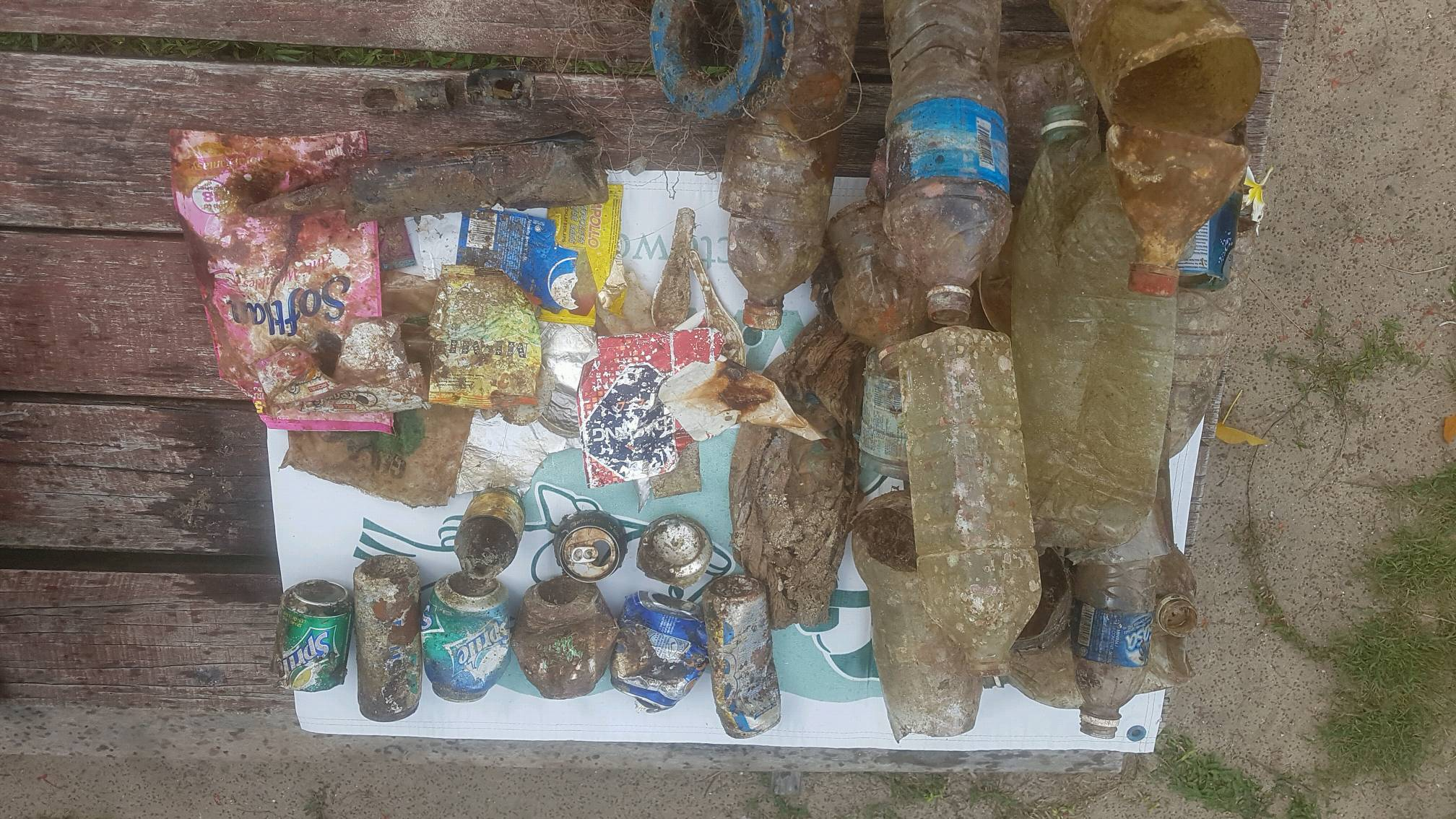
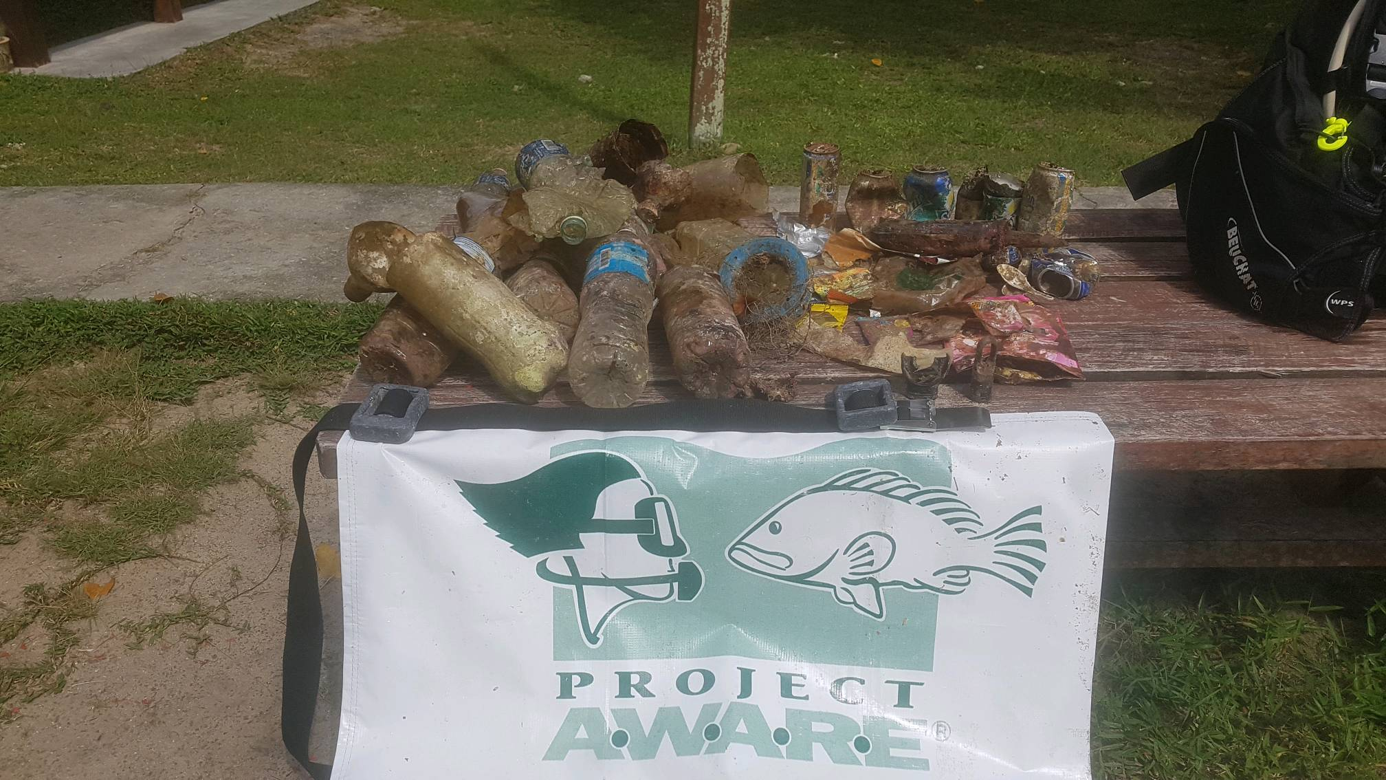
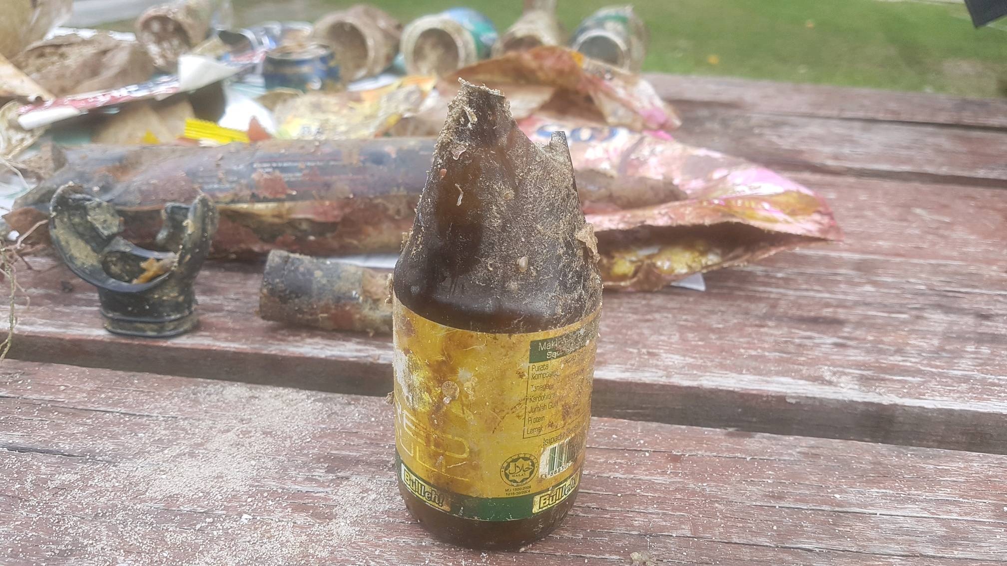
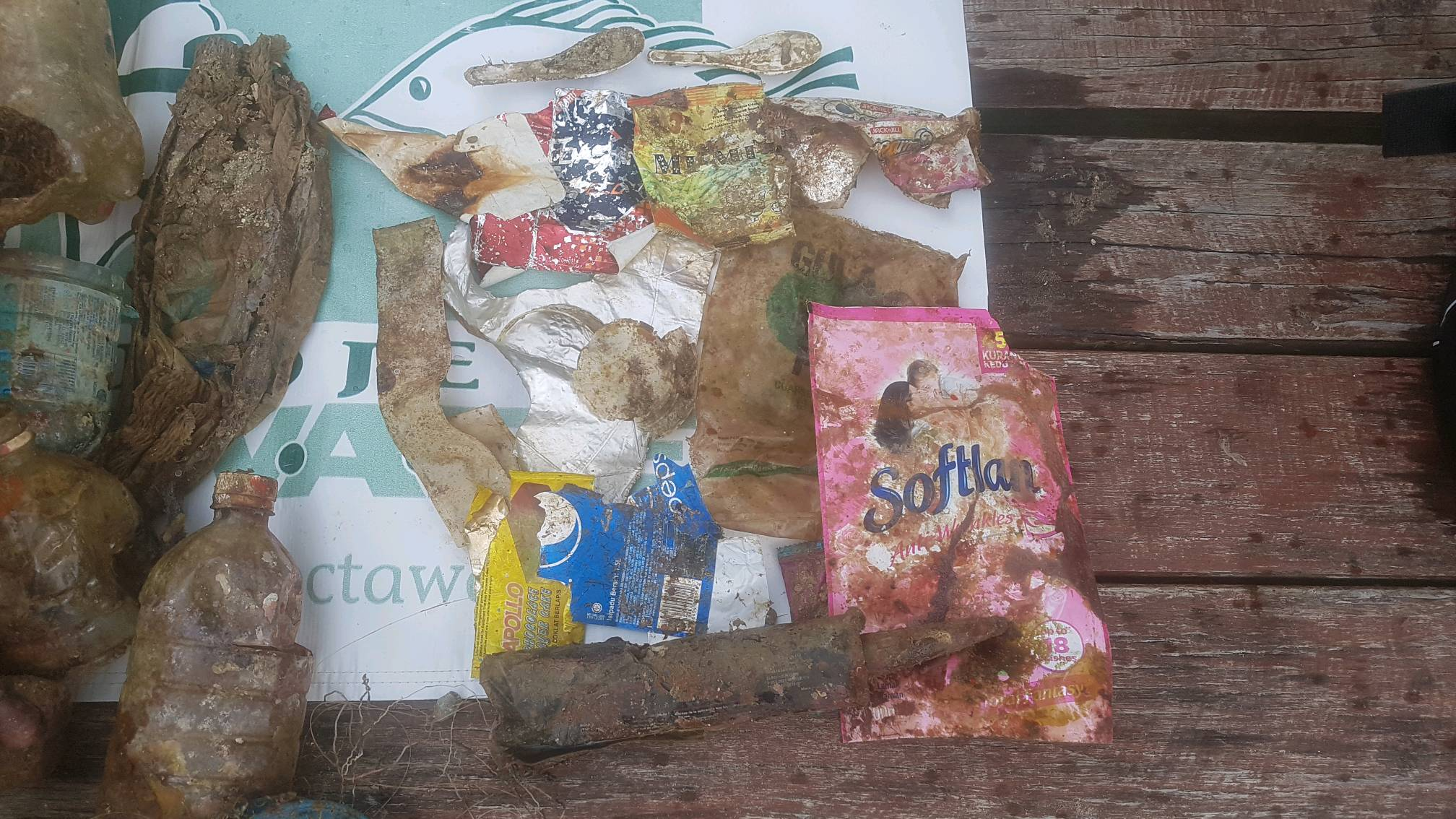
sand
0
19
0
2
0
Heavy rain over the previous weeks
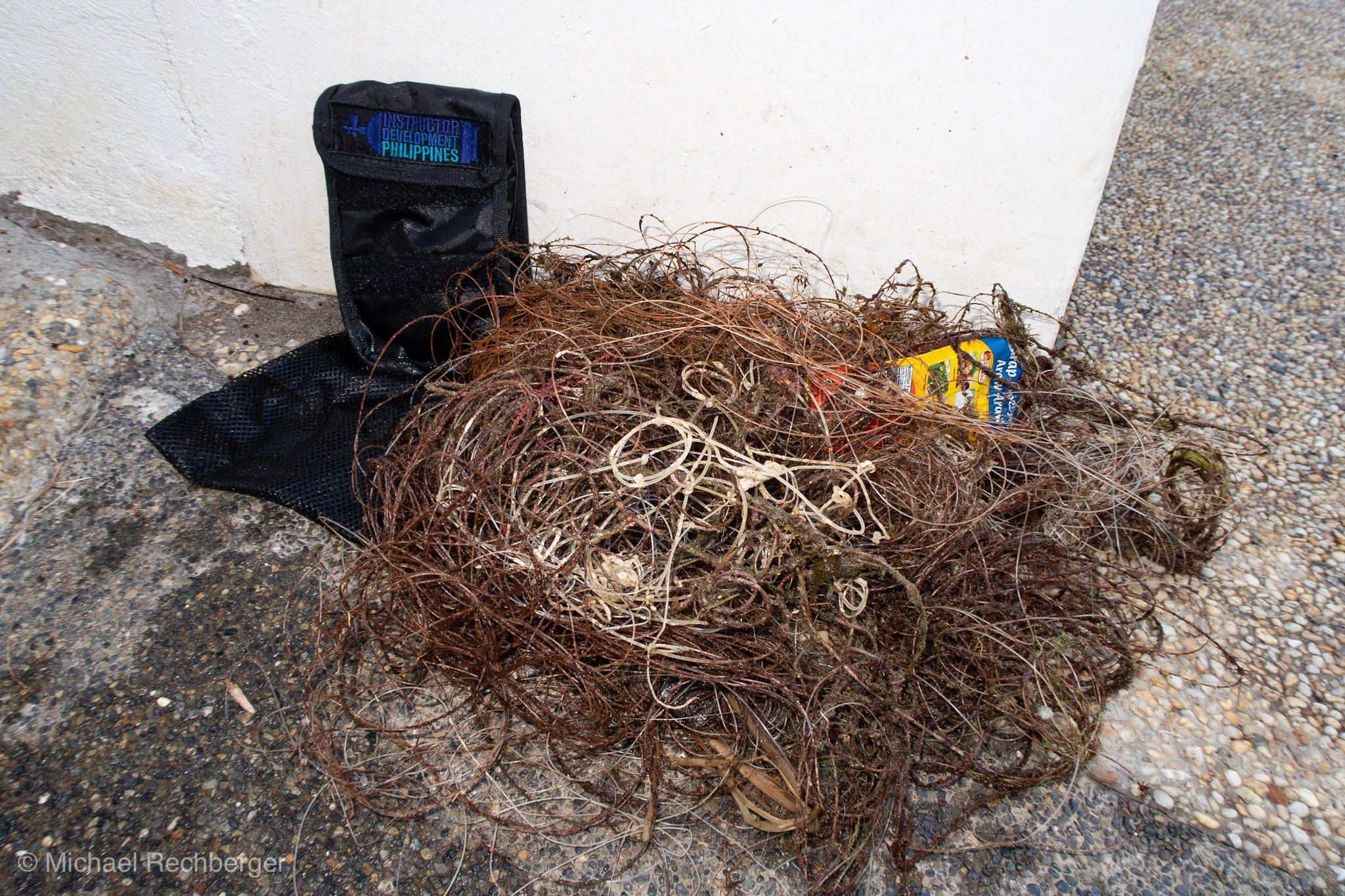
CD case with CDs
Heavy rain
2
2
1
1
4
1
1
3
1
1
1
0
0
0
0
0
0
0
0
0
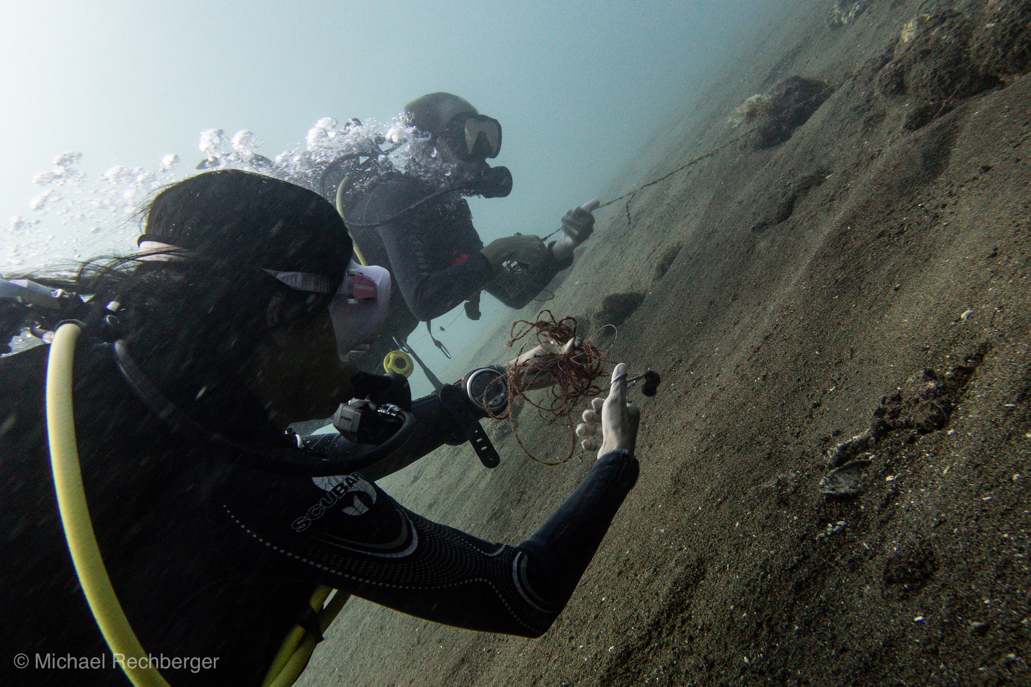
Plastic food netting
Razor
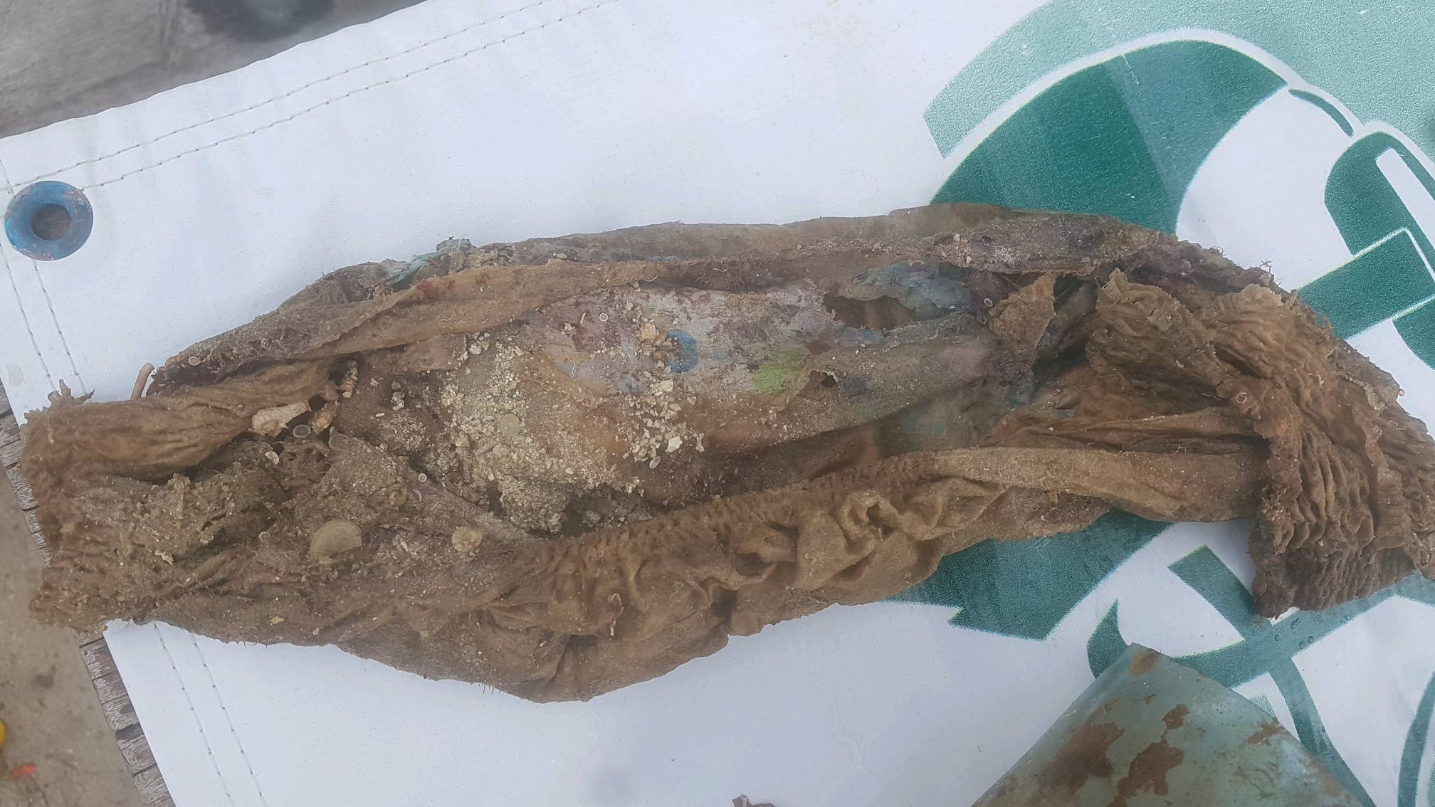
Plastic sack
Clothes pin
Plastic packaging
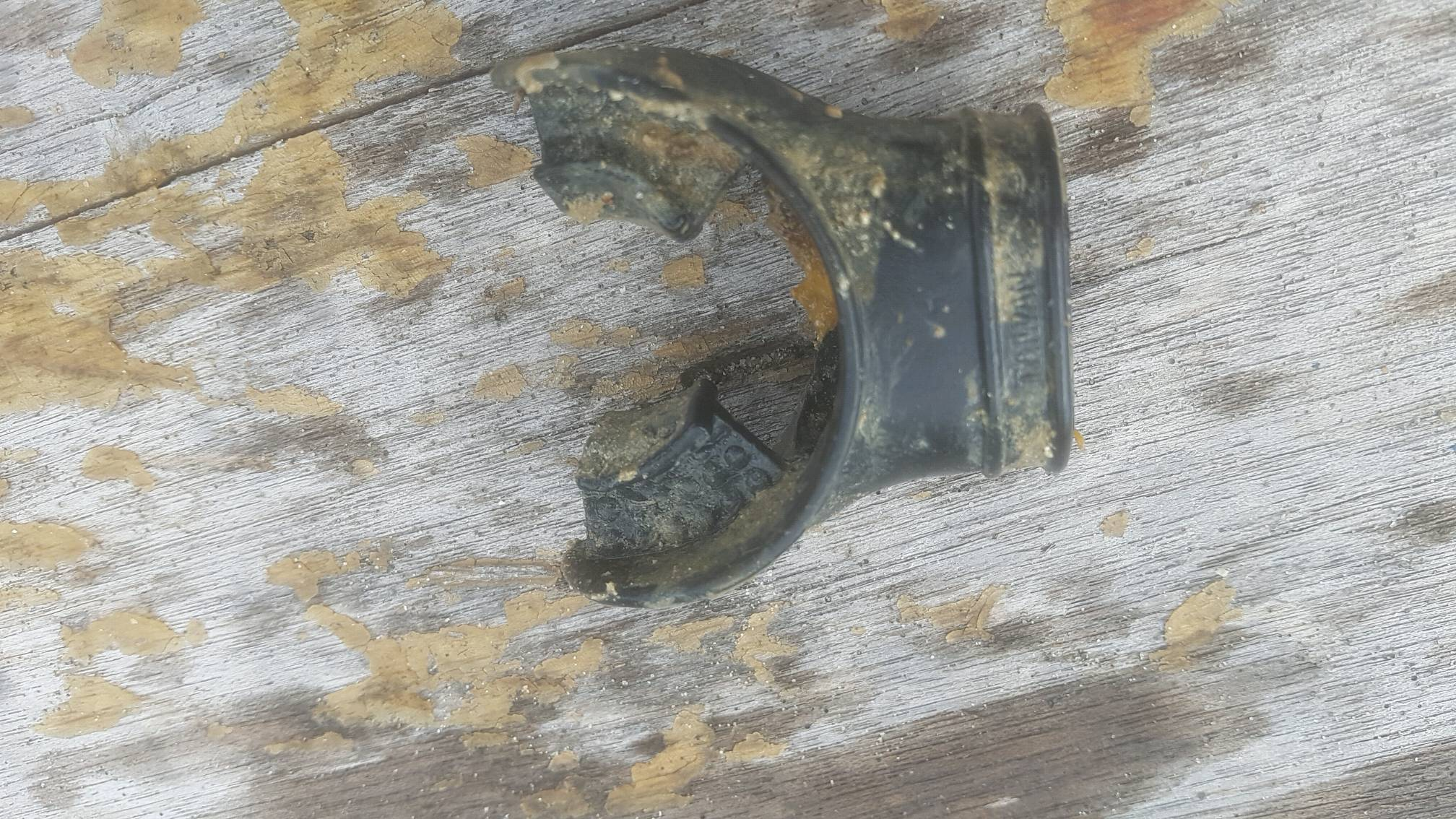
Plastic car engine piece
Keyboard letter
Metal food can lid
Plastic pencil case
Football
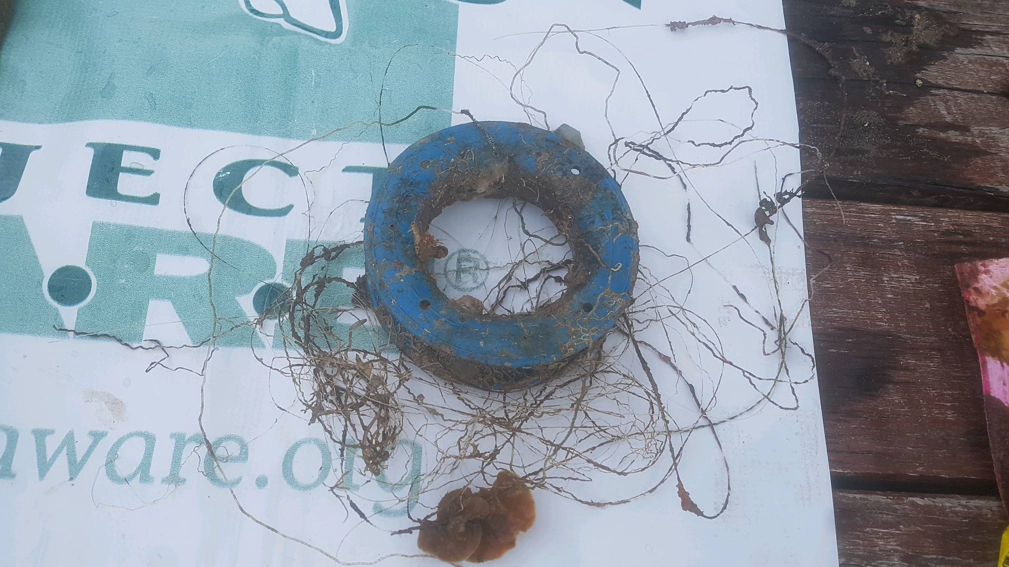
Plug wire
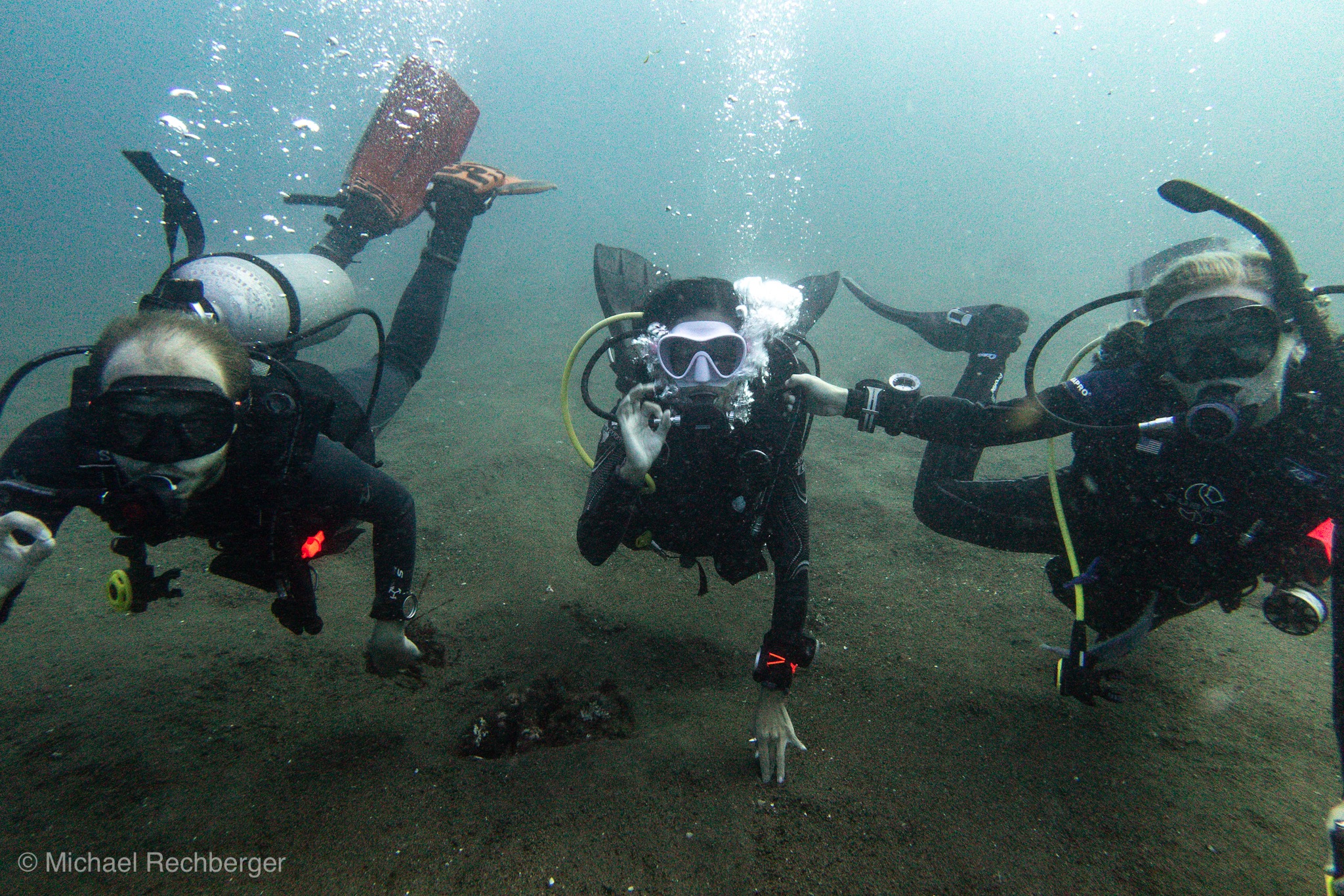
Michelle
0
8
0
9
0
0
0
0
1
0
0
0
0
0
0
0
1
3
0
2
0
0
0
0
2
0
0
1
0
0
0
0
0
0
15.50
95
4.70
1.00
1
measured
0
0
10389.10
0
0
0
2
0
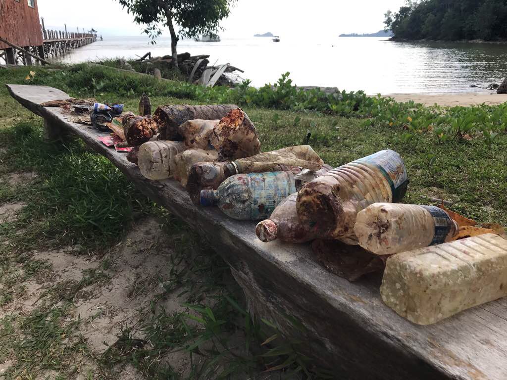
Plastic bags
Plastic bottles
0
On
kilograms
0
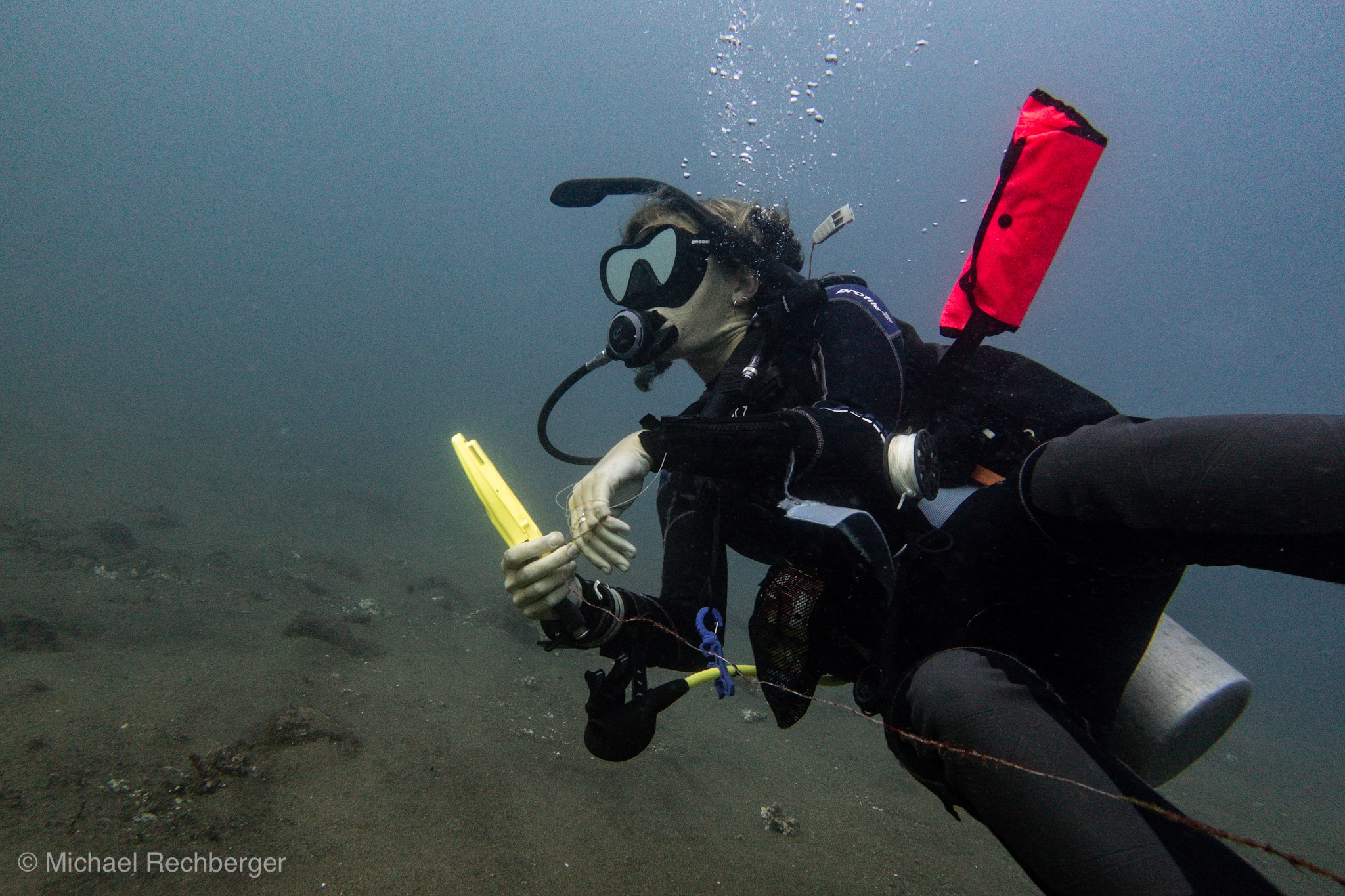
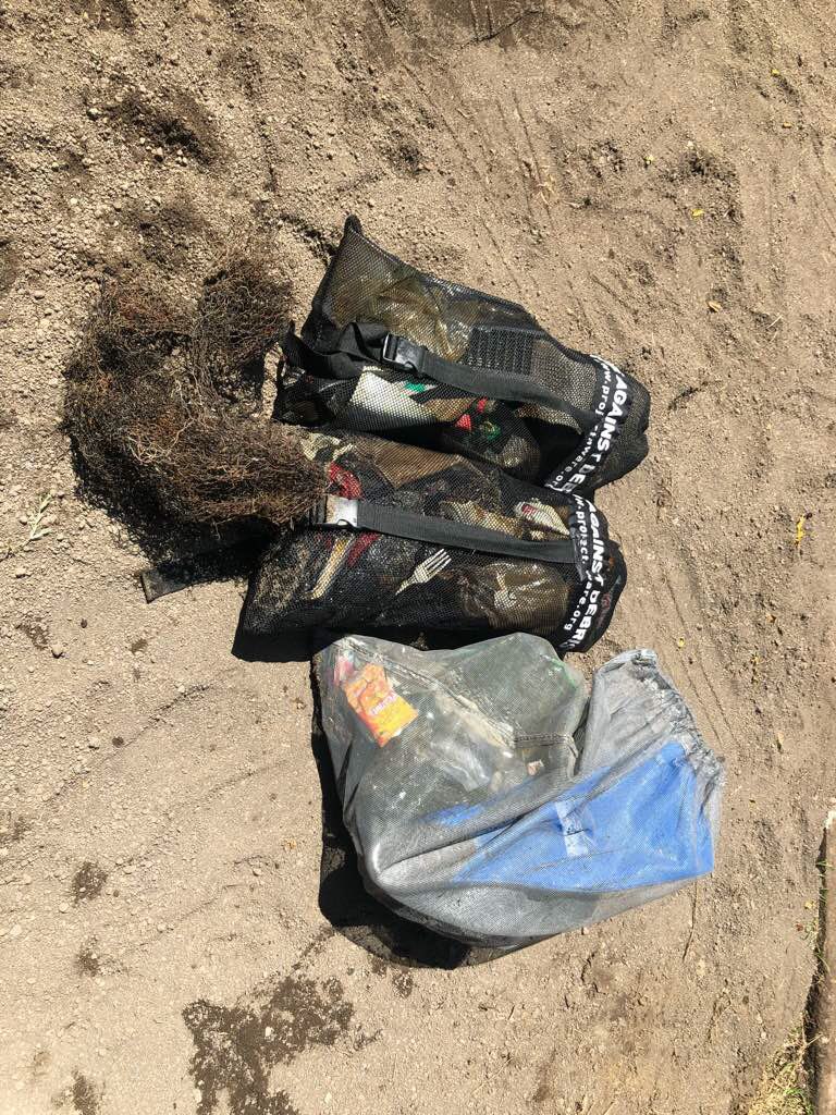
I have debris data to report
1
0
0
Smooth (wavelets) for waves 0.1 - 0.5 meter high
0
0
2
0
8
0
0
m2
1
0
meters
mangroves
5
0
1
0
0
0
0
0
0
5
0
0
0
0
3
8
2
0
0
0
0
5
0
0
0
0
0
0
State\Province
St. George
City
St. George’s
Map Help
Dive Location
If you know your survey site coordinates, enter them manually in decimal degrees using WGS84 Map Datum. Use the minus sign for latitudes south of the equator and longitudes west of the Prime Meridian to 180 degrees.
If you do not know your survey site coordinates, click the “Map Location” tab to use the map to zoom into your survey site and drop the pin on the map to fall within your survey dive site in the water (not on land or the beach). Ensure you zoom in as much as possible to ensure data accuracy.
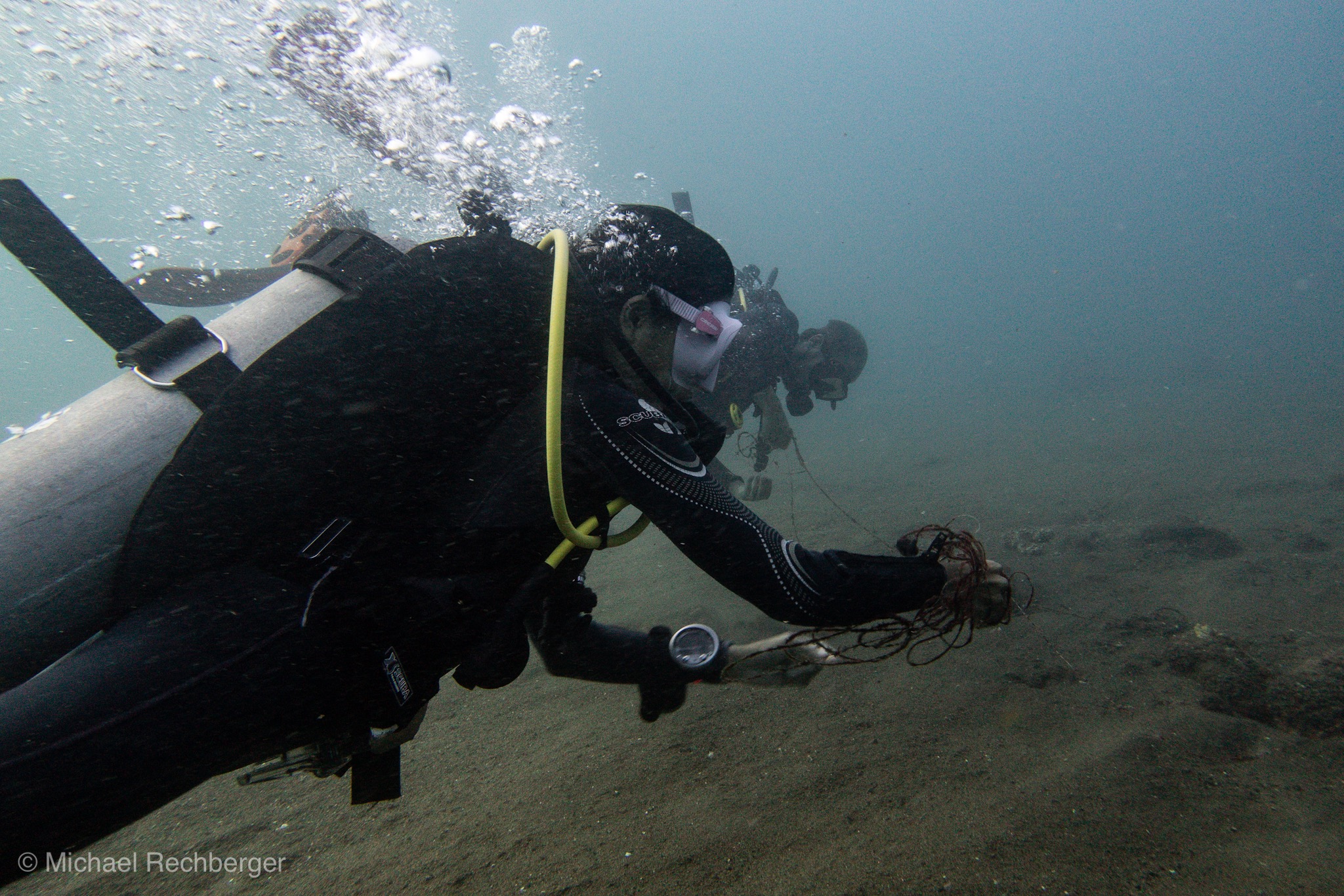
Entangled Help