ADS305 - House Reef
20
97
rock
4
2
28.142037382729, -16.438990526978
Campervans during the weekend
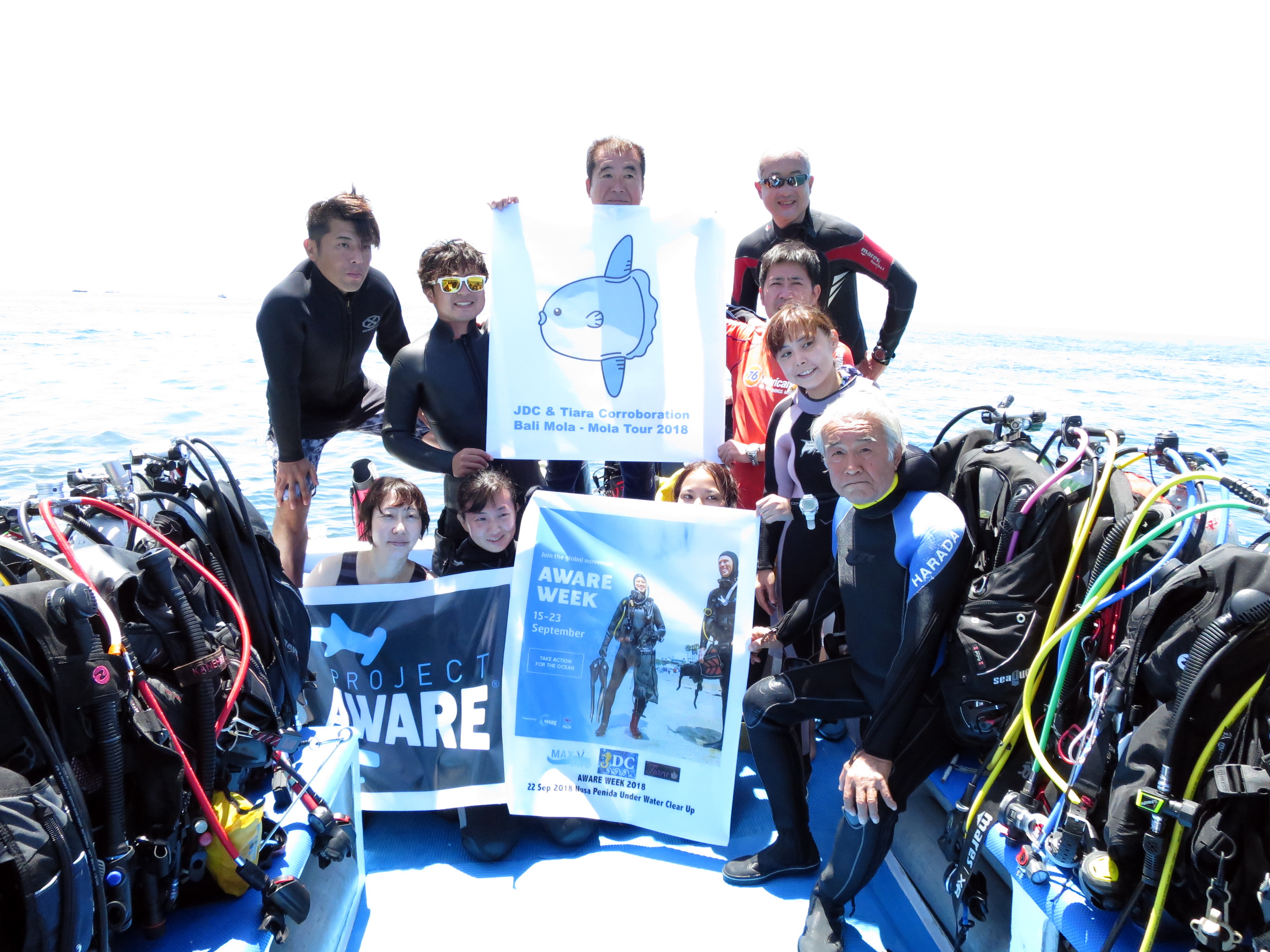
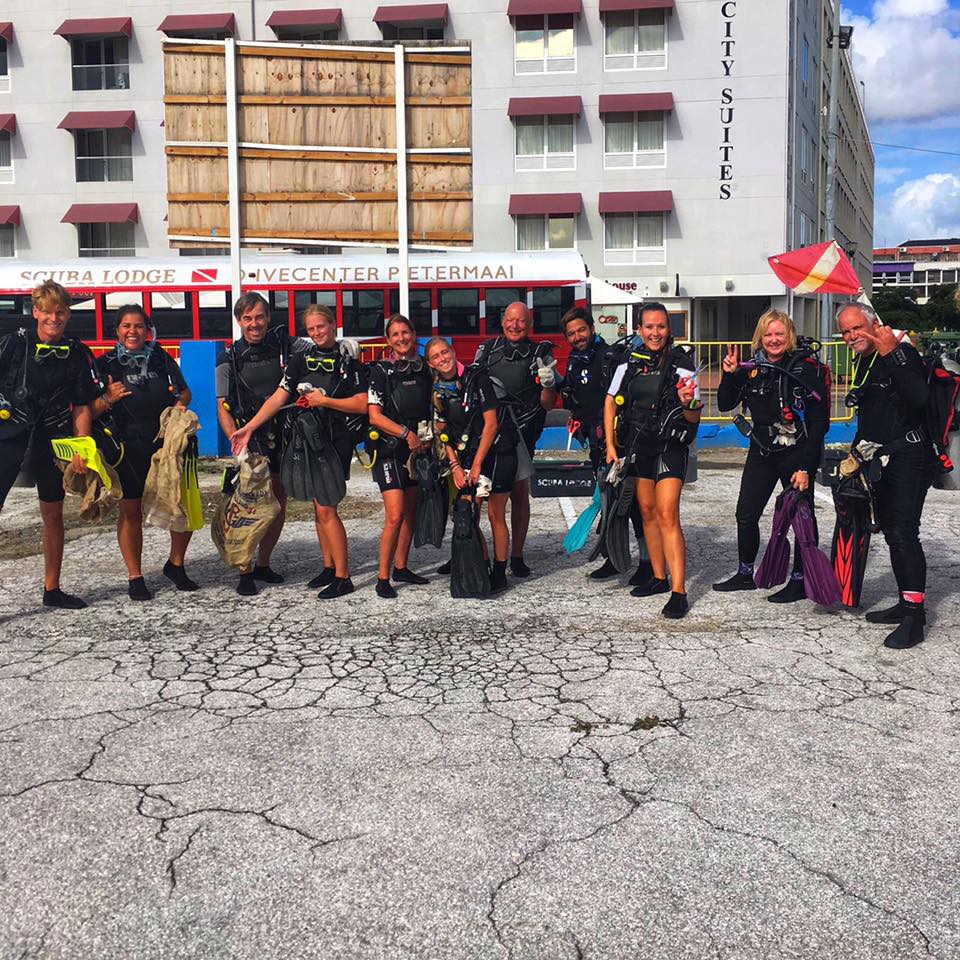
Great group effort from the Divemaster Trainees at Tenerife Diving Academy!
Pirate eye patch
Sunny, calm, minimal wind
Tenerife Diving Academy
Kim Timmers
3
3
6
1
3
1
2
15
2
3.64
60
12.00
3.00
estimated
13
600.00
1
2
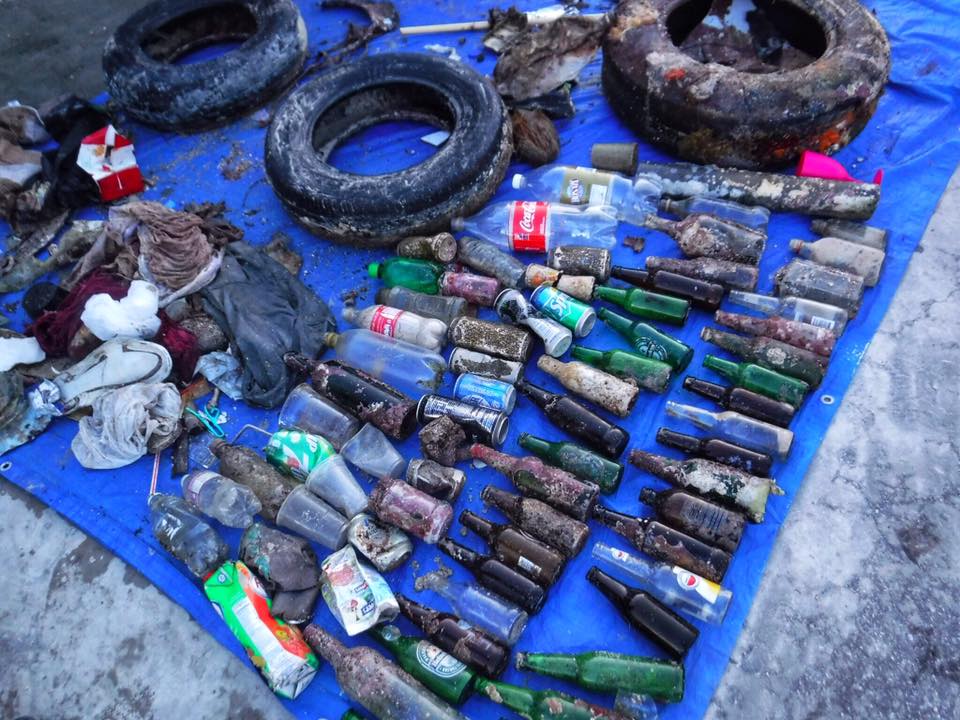
Plastic fragments
Fishing line
Cigarette butts
On
kilograms
I have debris data to report
1
Smooth (wavelets) for waves 0.1 - 0.5 meter high
1
9
m2
3
2
meters
rocky reef
1
6
1
7
9
8
State\Province
Tenerife
City
Abades
Map Help
Dive Location
If you know your survey site coordinates, enter them manually in decimal degrees using WGS84 Map Datum. Use the minus sign for latitudes south of the equator and longitudes west of the Prime Meridian to 180 degrees.
If you do not know your survey site coordinates, click the “Map Location” tab to use the map to zoom into your survey site and drop the pin on the map to fall within your survey dive site in the water (not on land or the beach). Ensure you zoom in as much as possible to ensure data accuracy.
Entangled Help