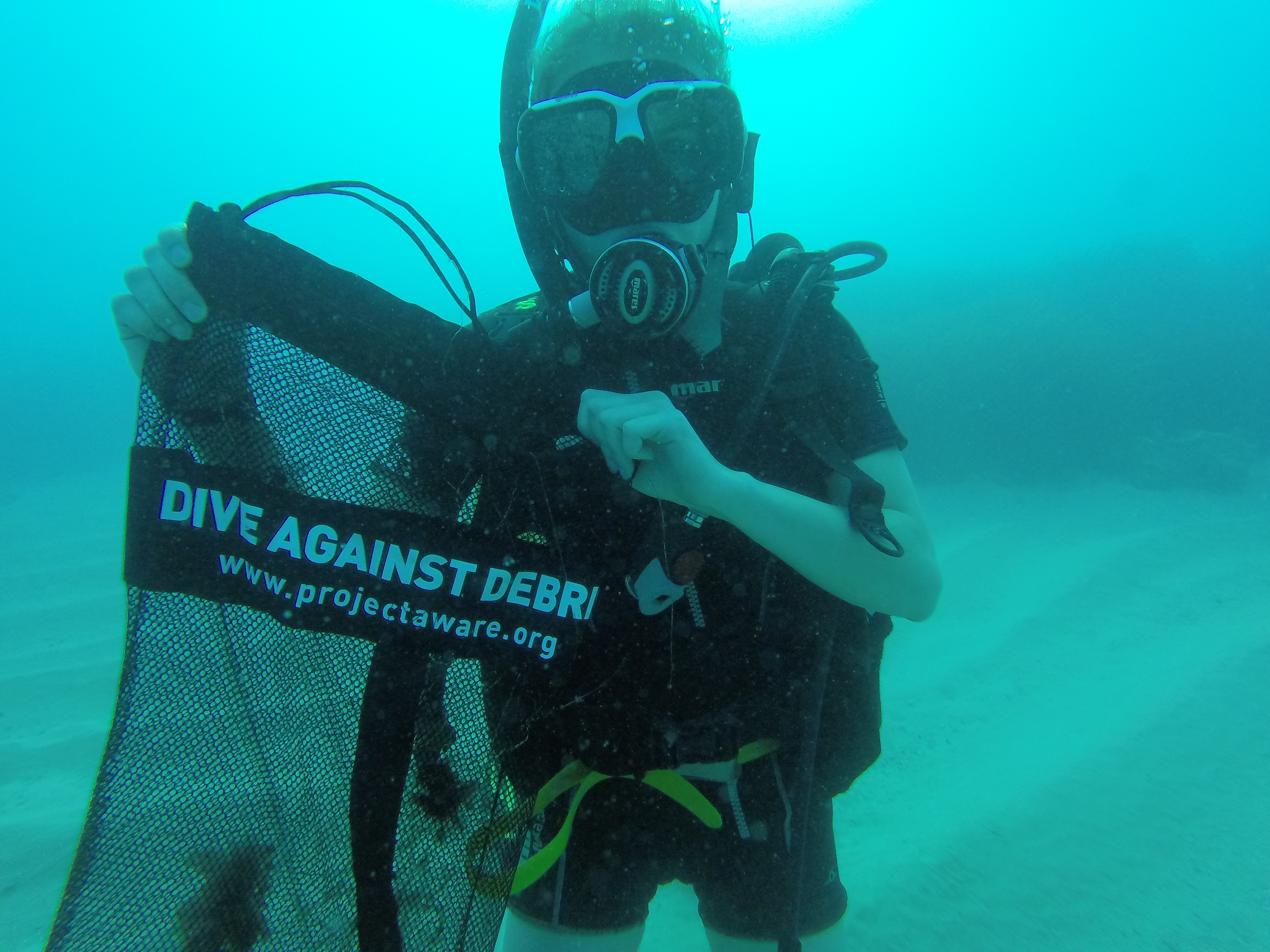
Sharp Island, Sai Kung, Hong Kong 橋咀州
5
coral
22.363996885272, 114.28956851363
Mainly cloudy, scattered showers, moderate wind with slight waves
1
1
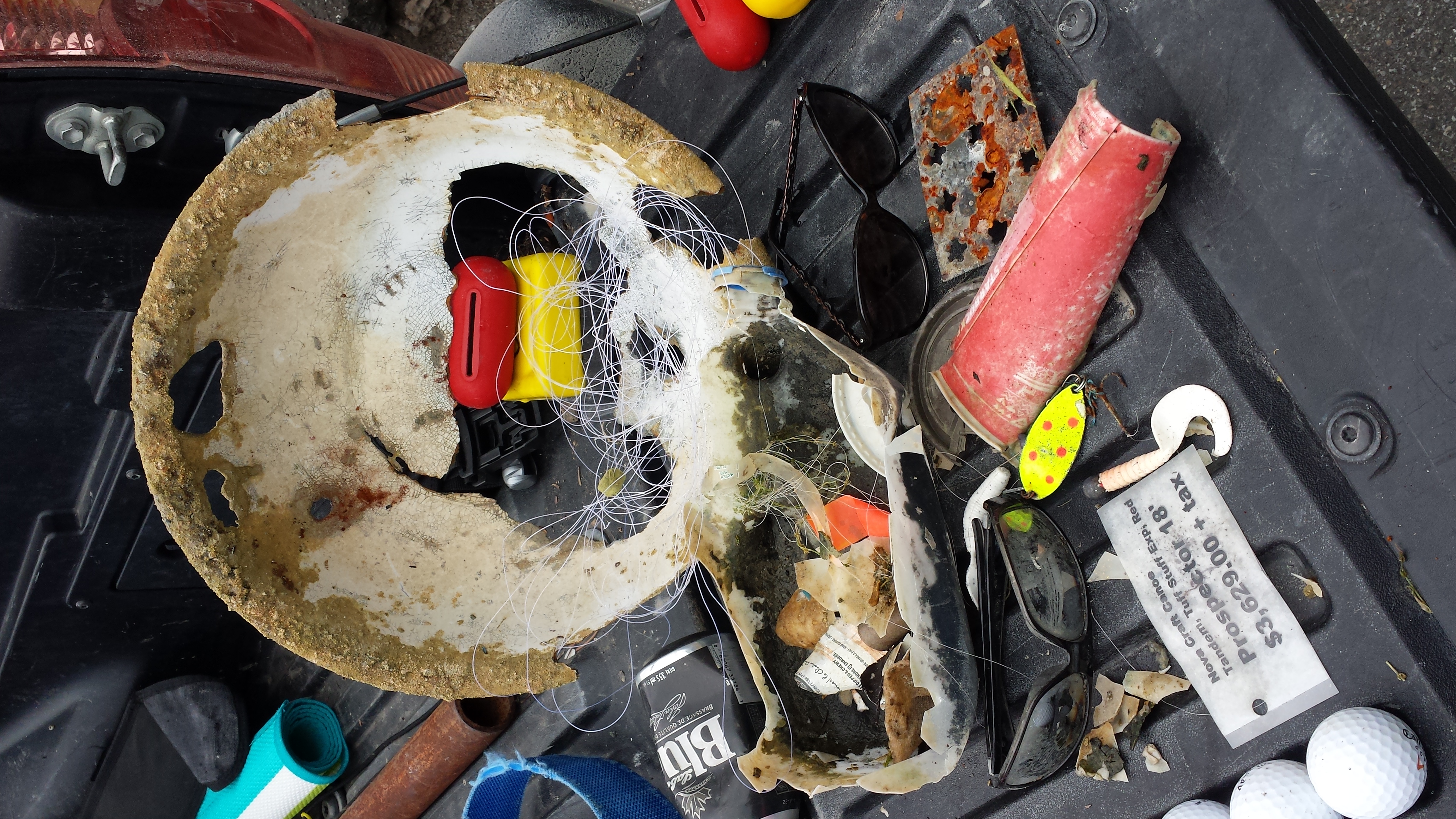
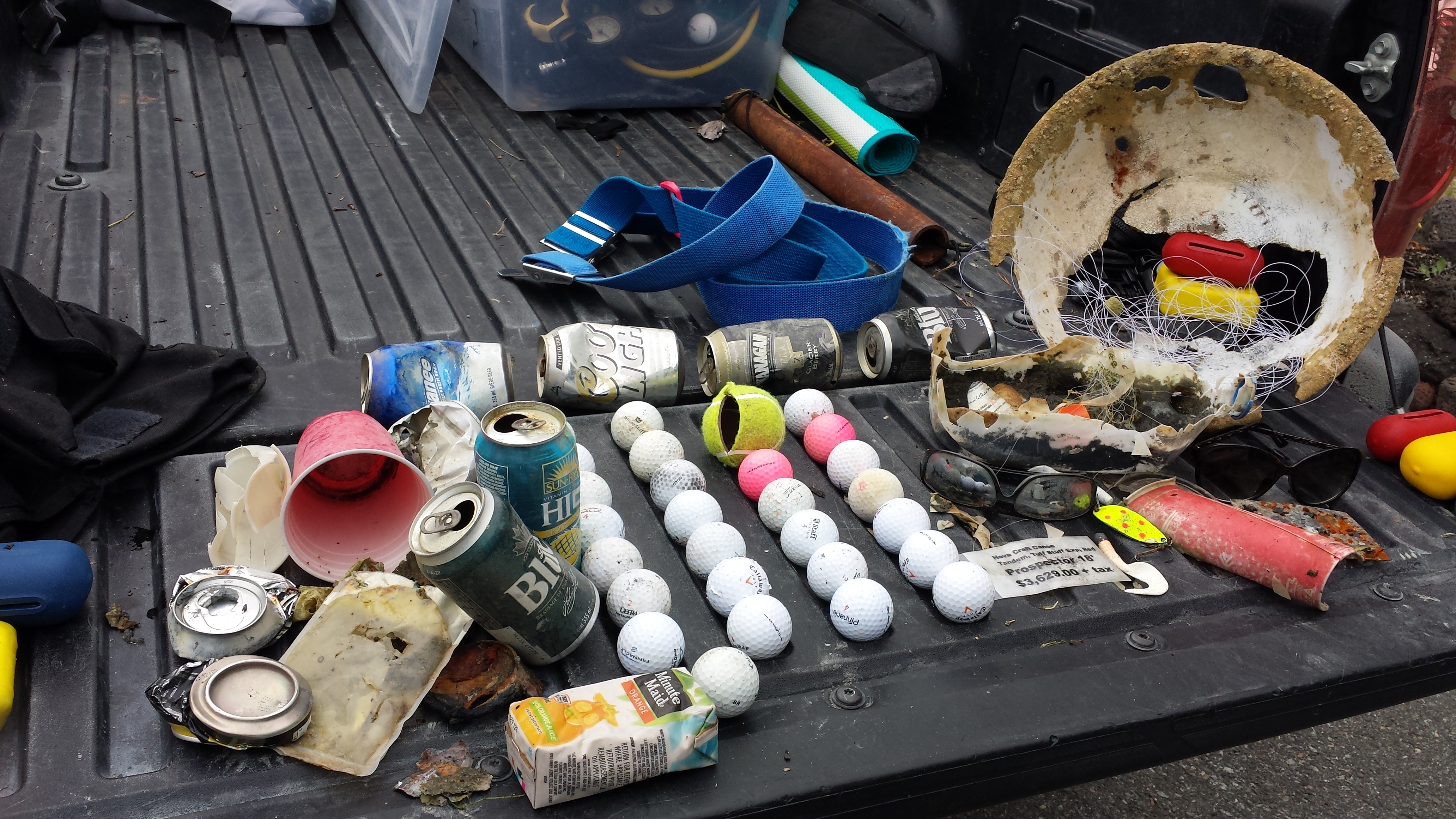
Swimming Pant
Fishing spear
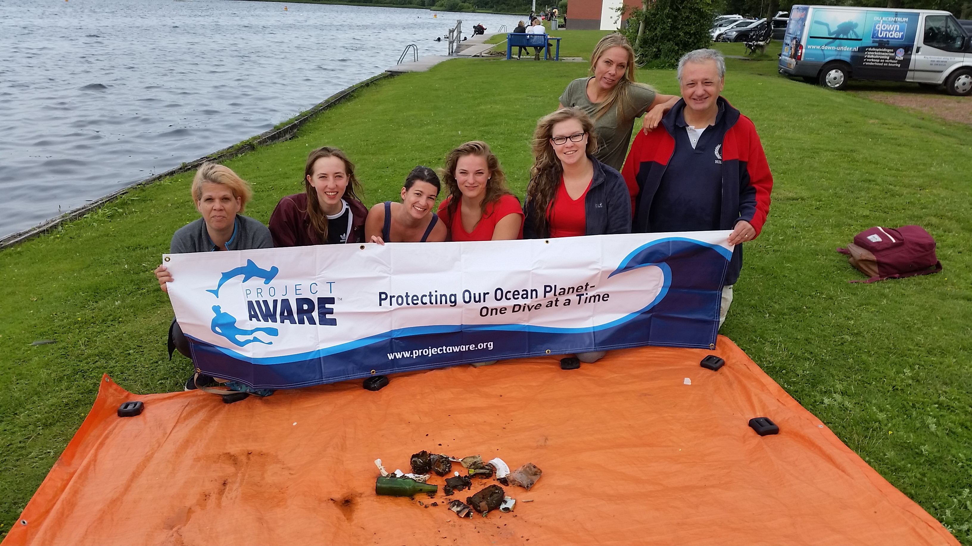
Blue Ocean Club HK
Eian Kee
33
2
1
10.30
50
6.00
1.00
measured
350.00
3
On
kilograms
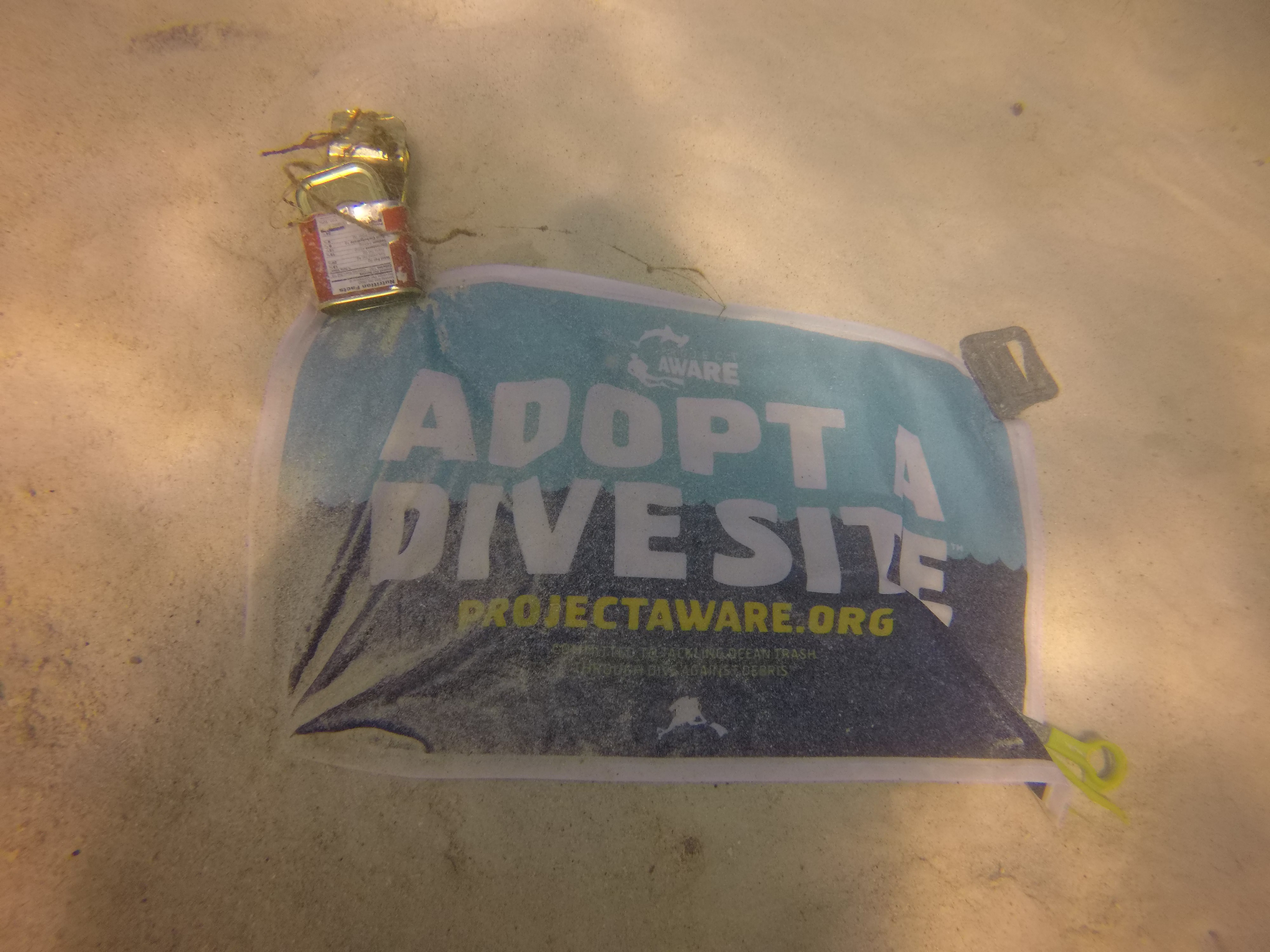
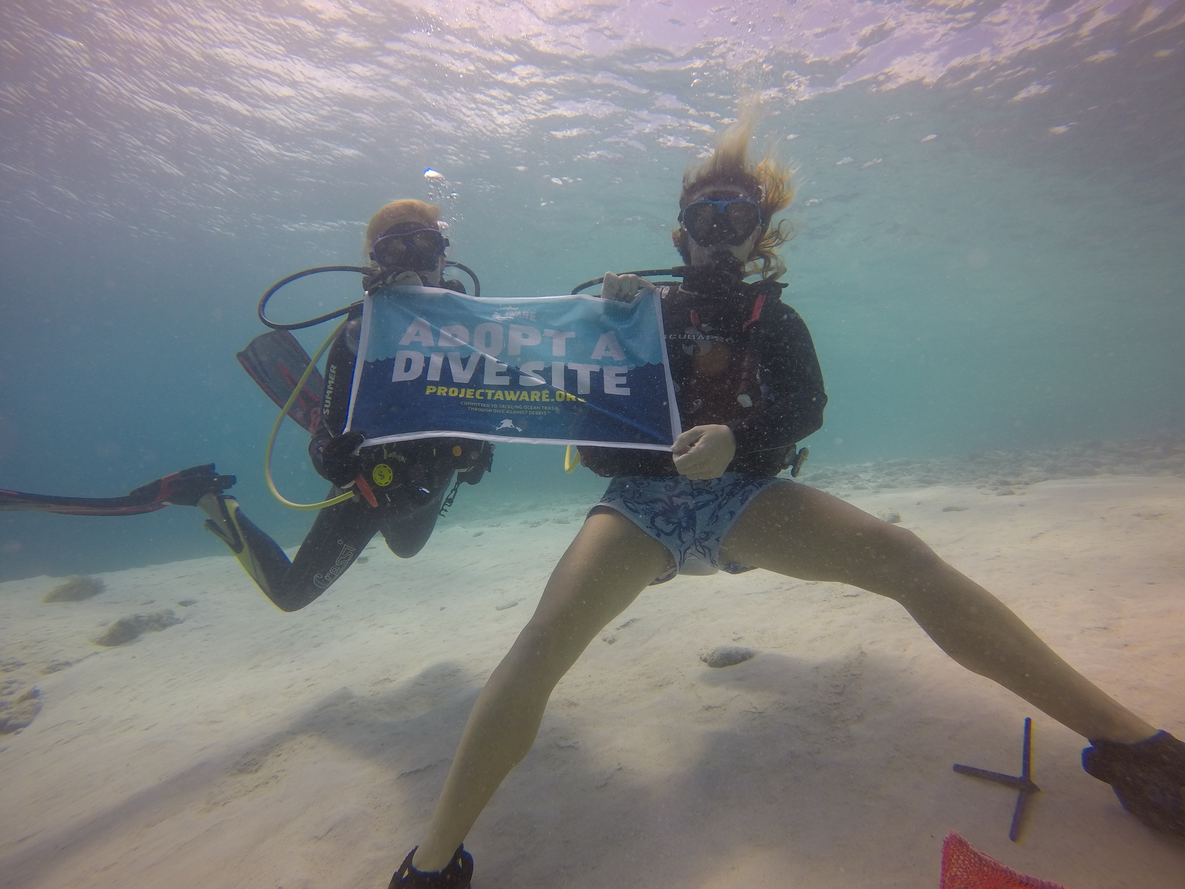
I have debris data to report
3
Slight for waves 0.5 -1.25 meter high
2
m2


2
meters
coral reef
3
City
HONG KONG
Map Help
Dive Location
If you know your survey site coordinates, enter them manually in decimal degrees using WGS84 Map Datum. Use the minus sign for latitudes south of the equator and longitudes west of the Prime Meridian to 180 degrees.
If you do not know your survey site coordinates, click the “Map Location” tab to use the map to zoom into your survey site and drop the pin on the map to fall within your survey dive site in the water (not on land or the beach). Ensure you zoom in as much as possible to ensure data accuracy.
Entangled Help