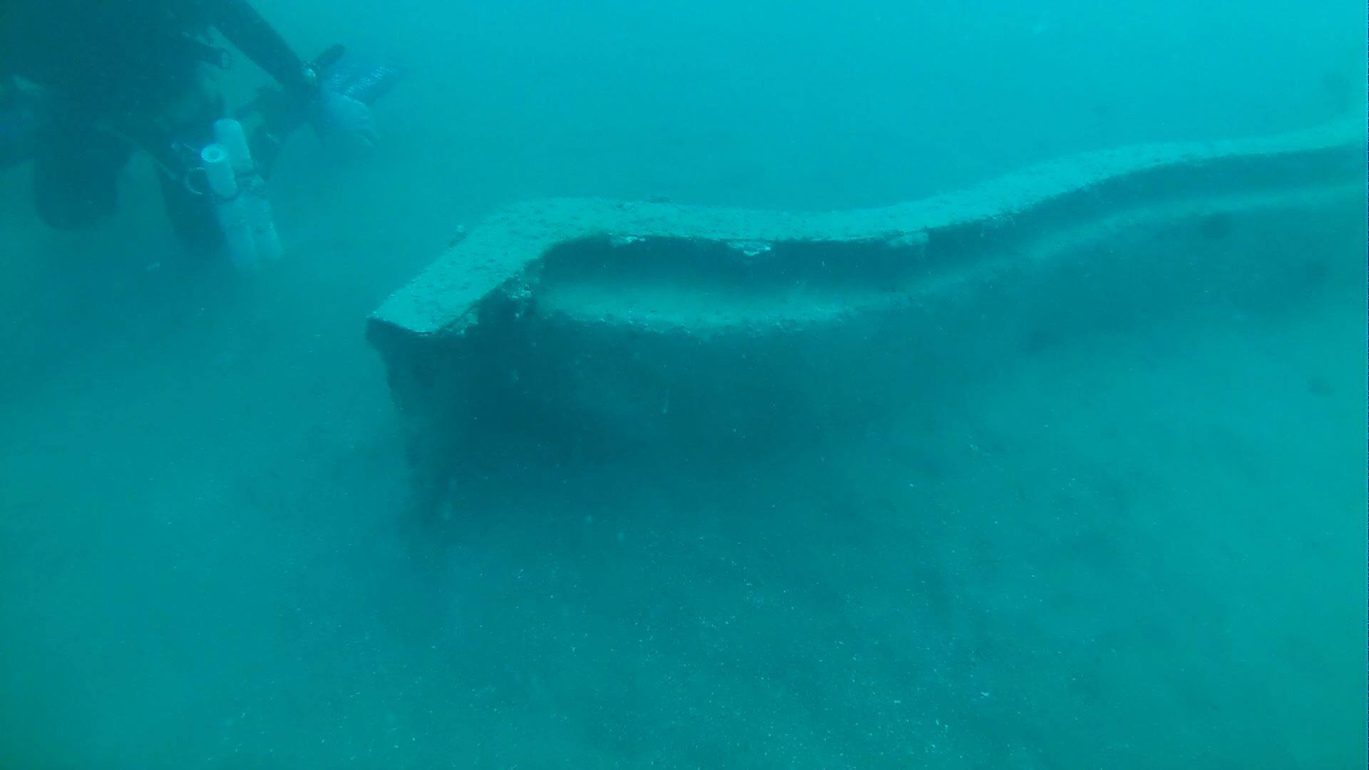
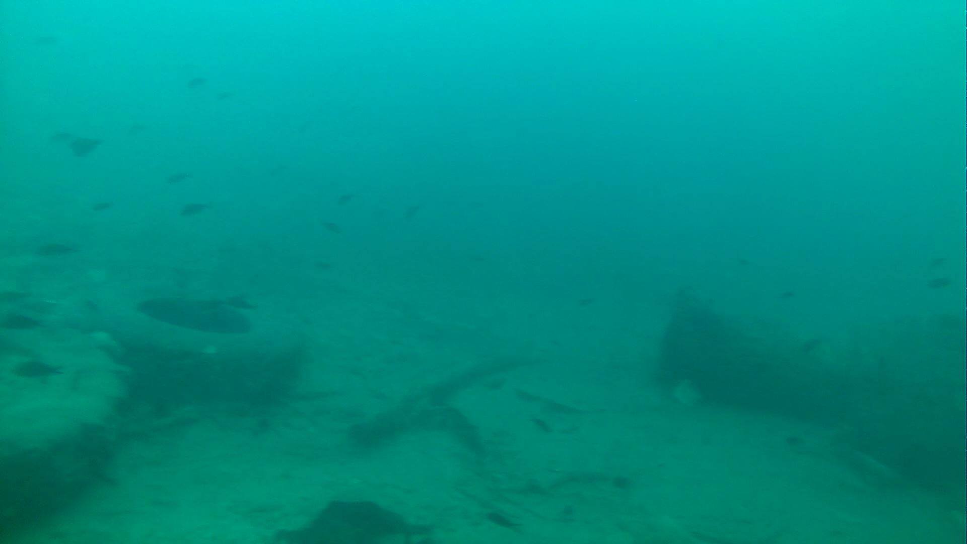
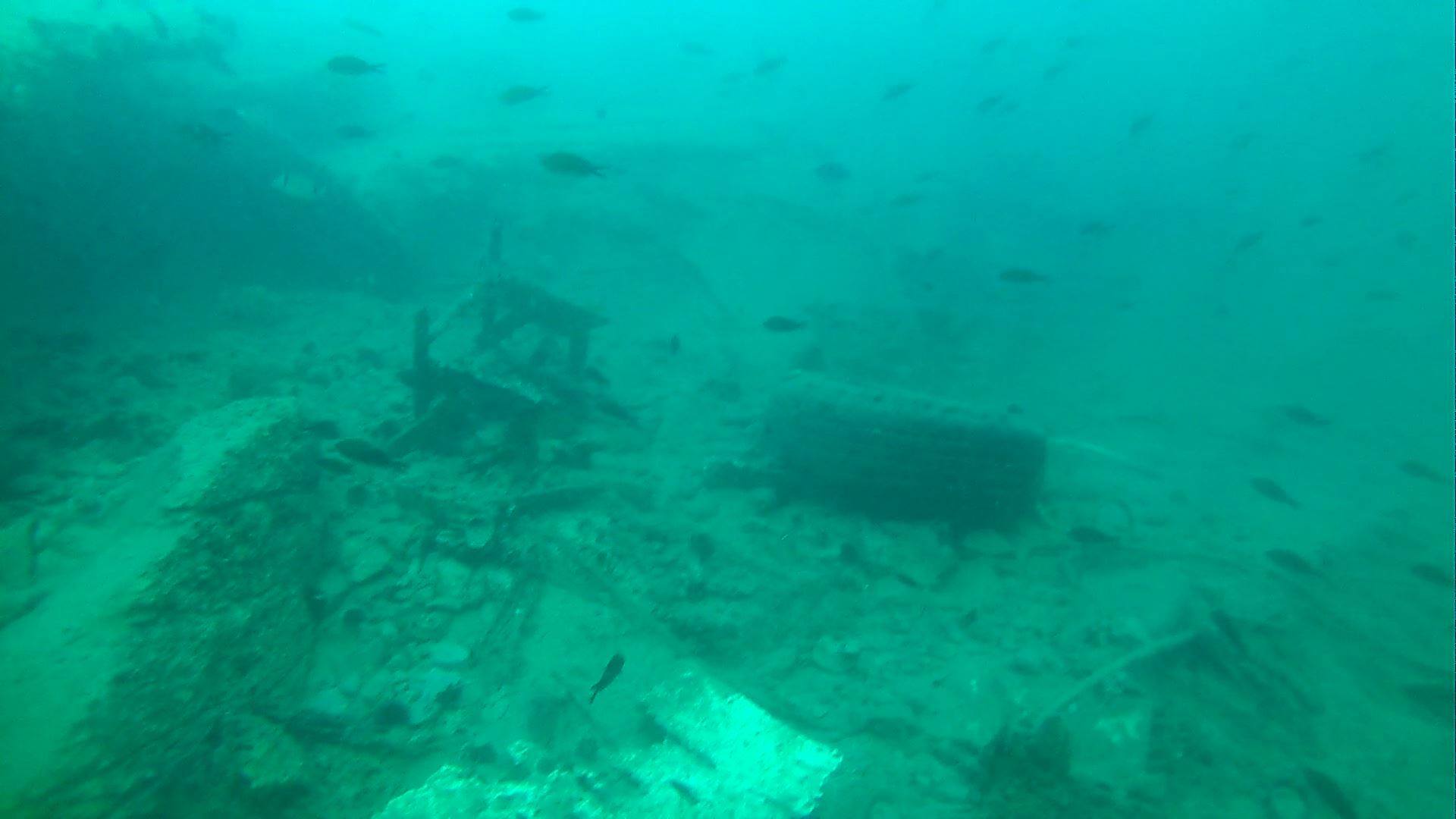
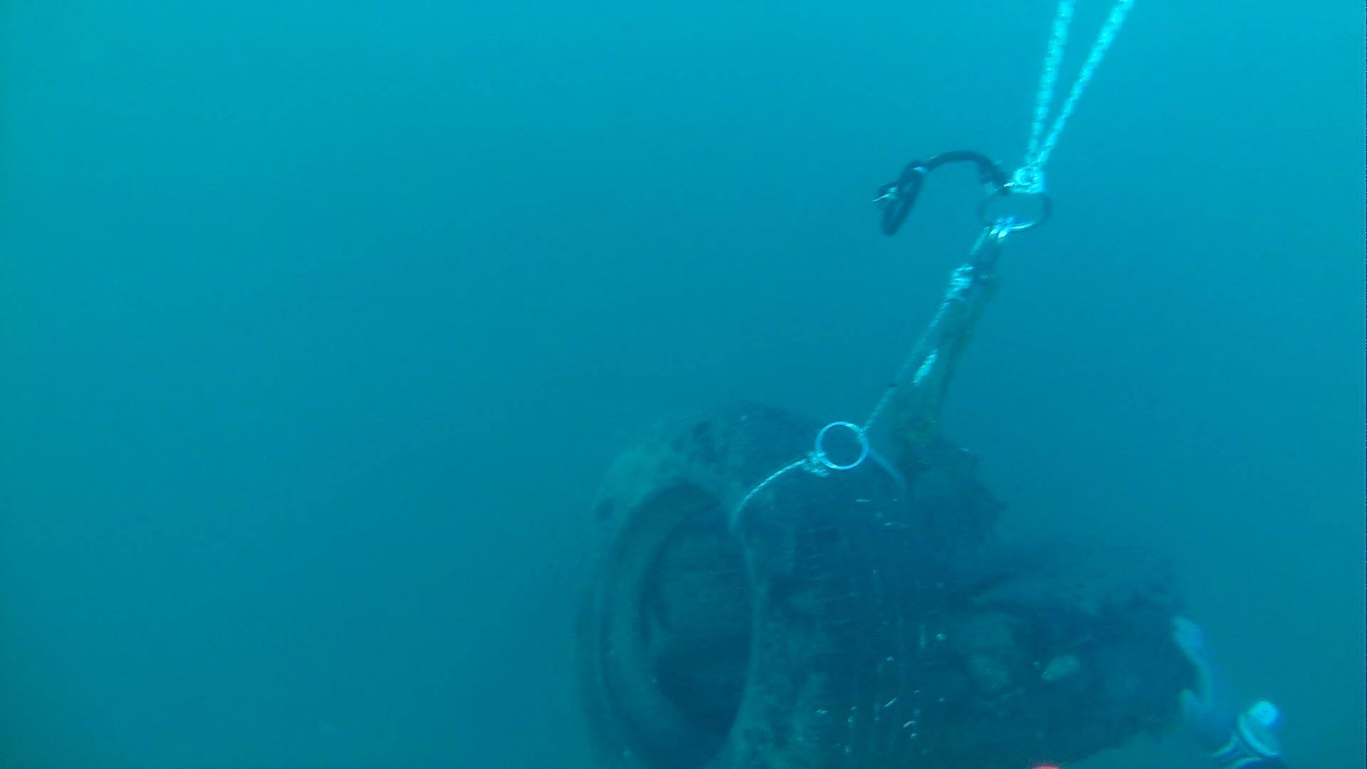
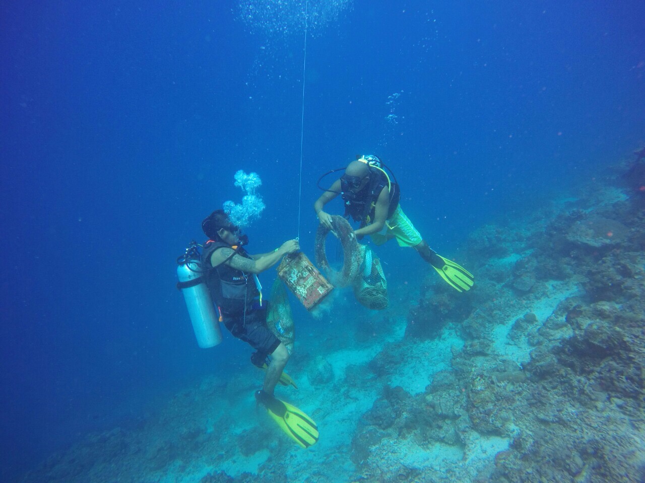
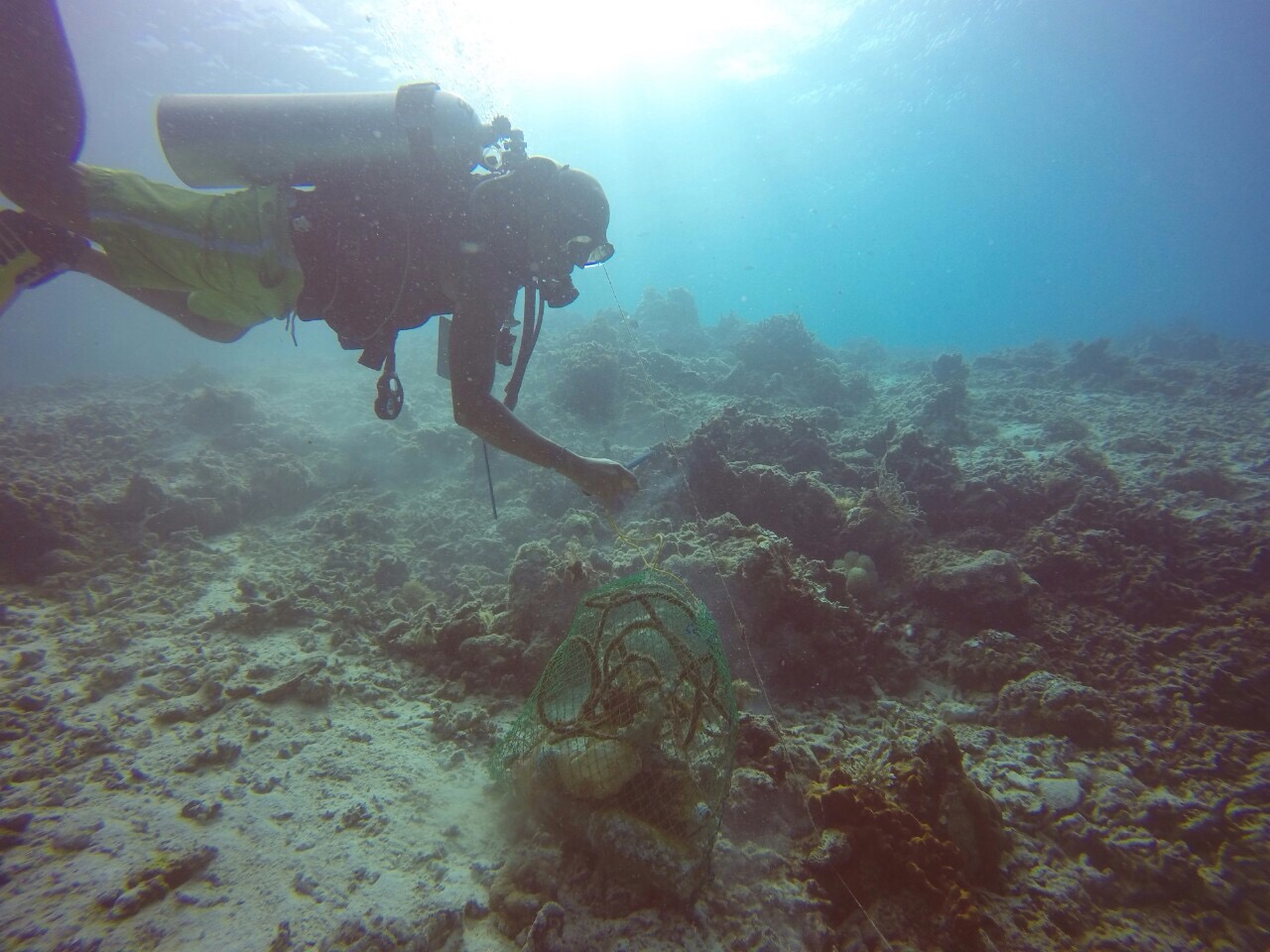
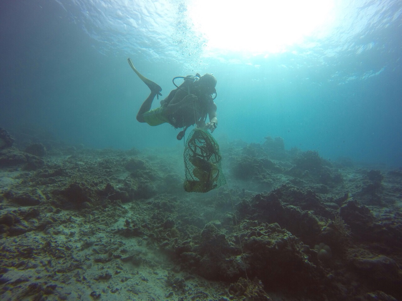
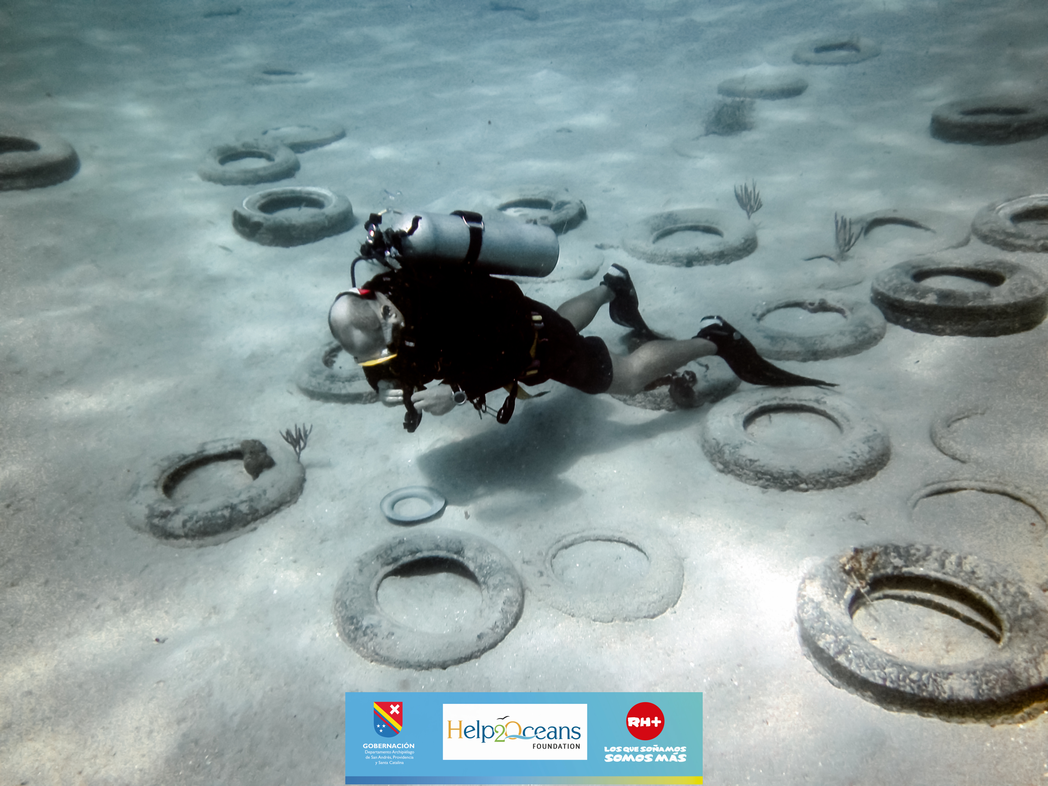
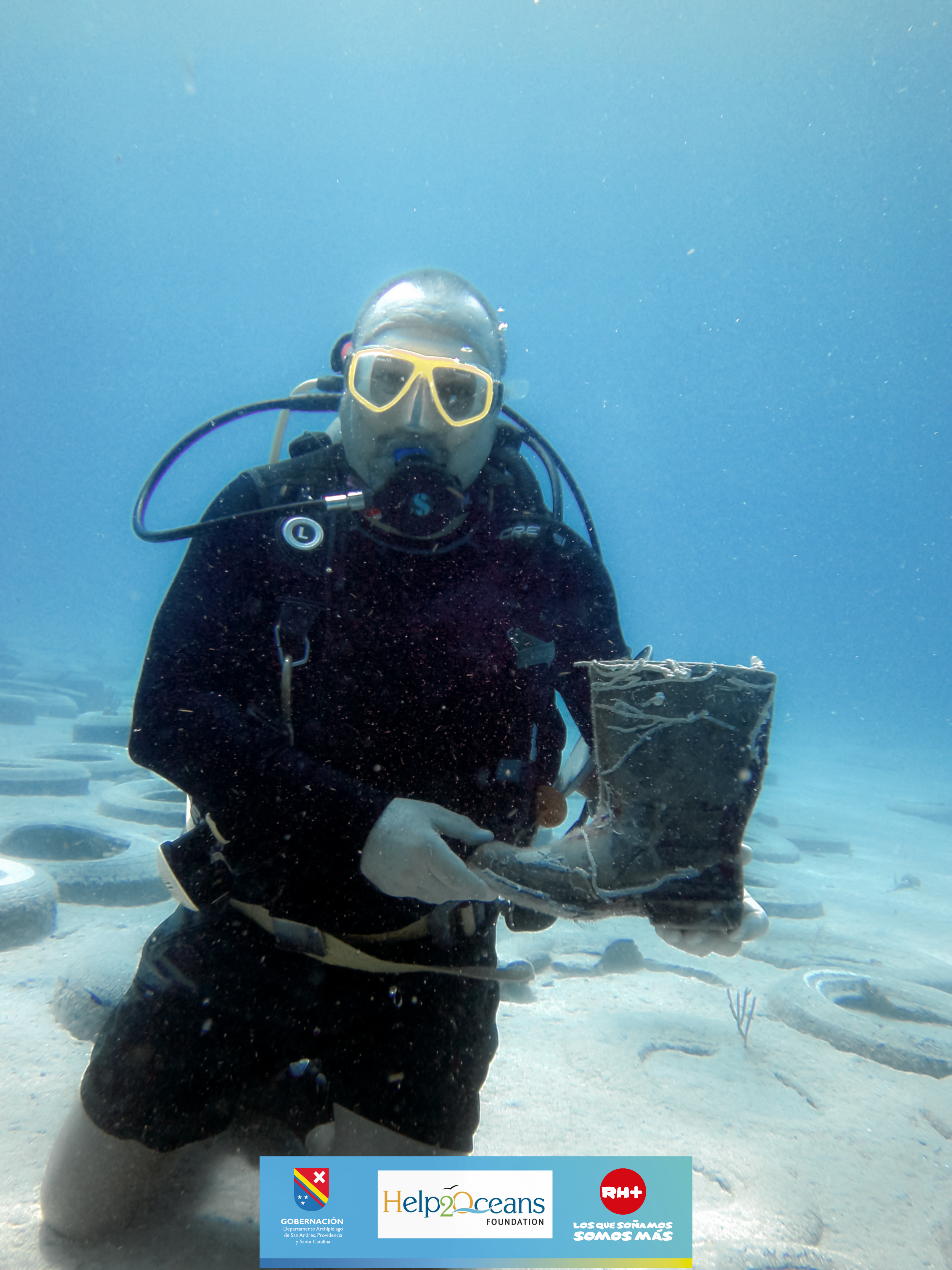
ADS72 - Bajo Tranquilo
16
12.53374767449778, -81.73505203798413
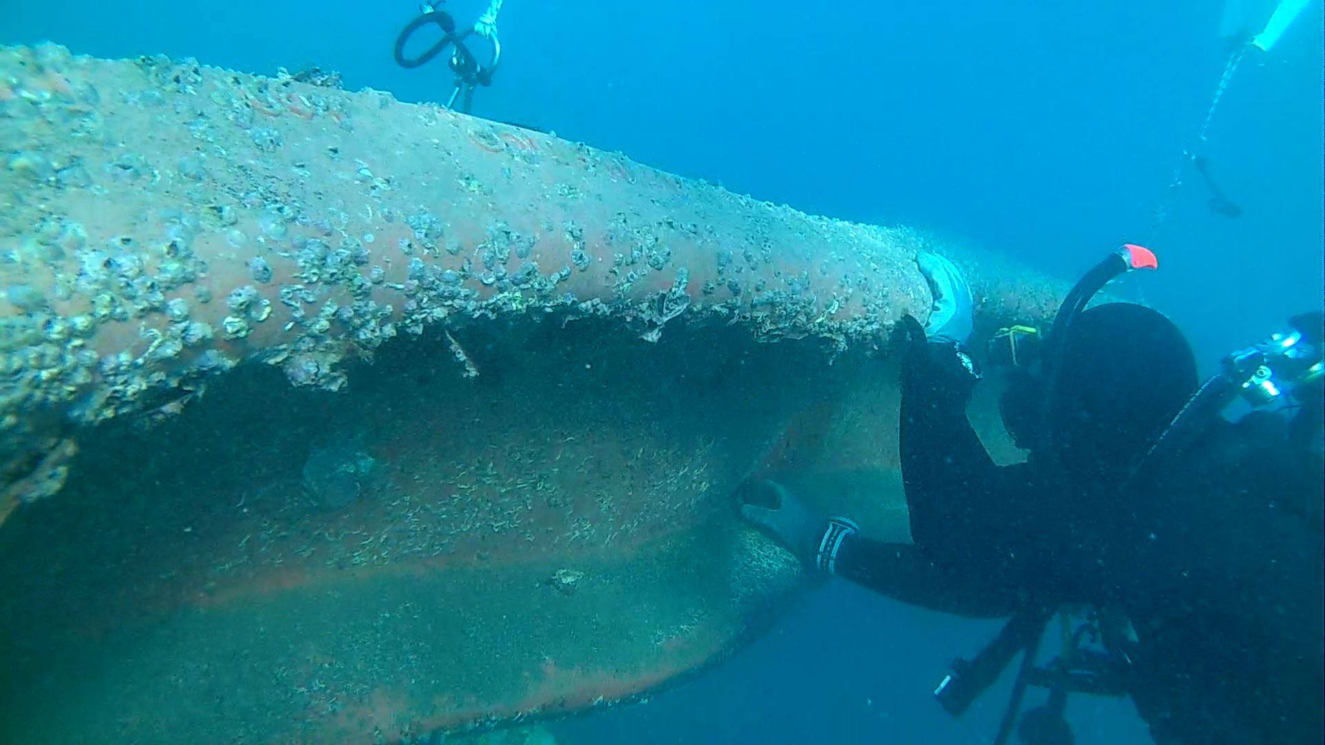
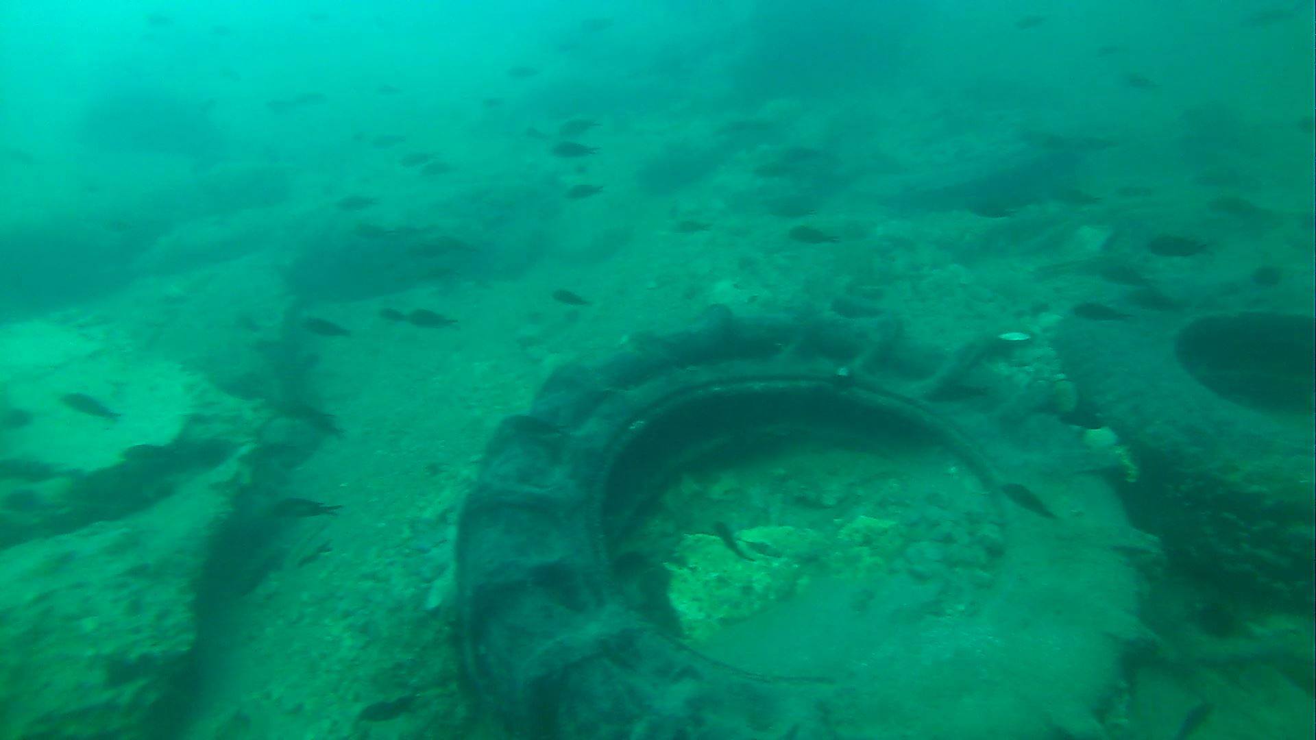
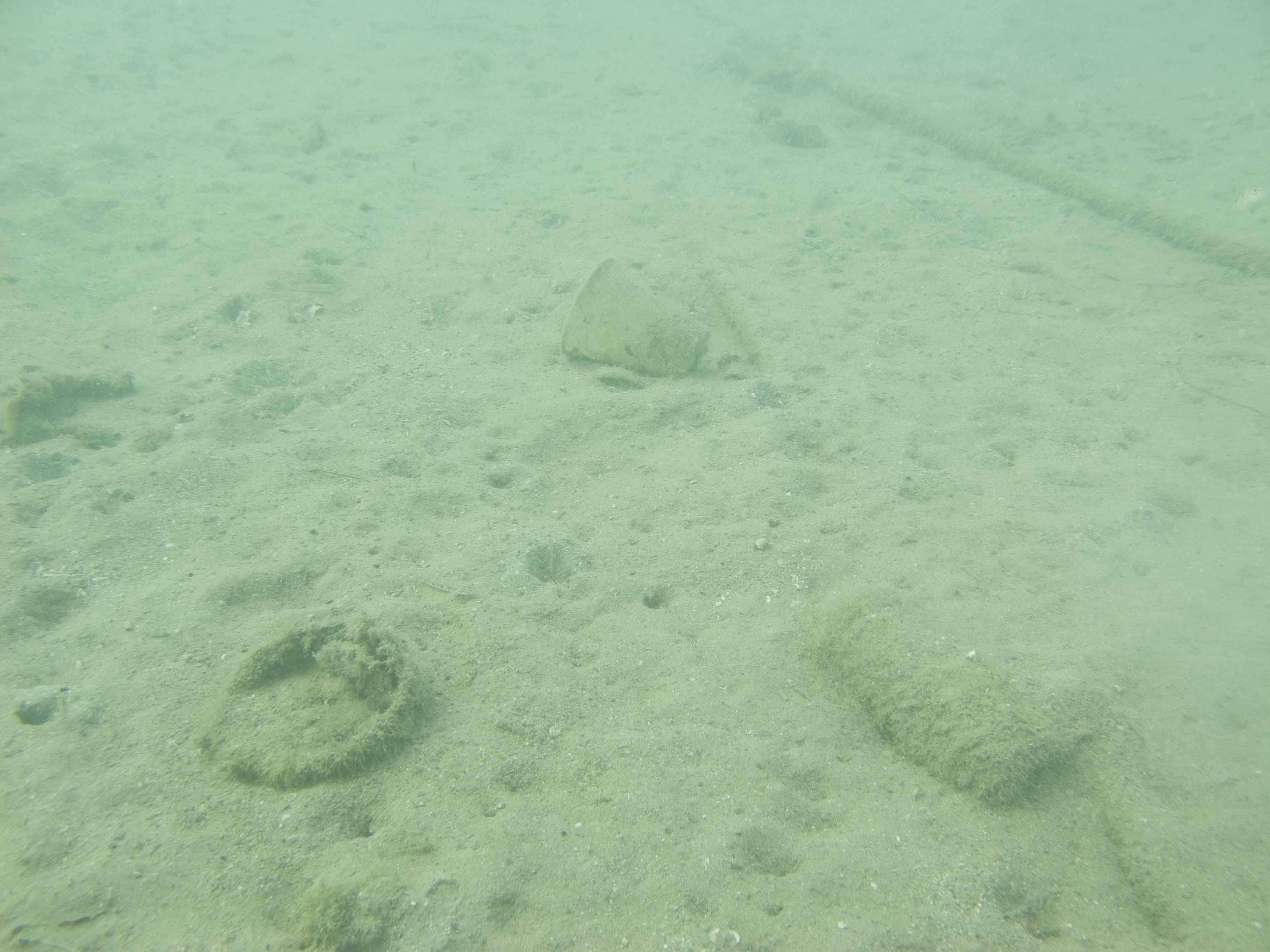
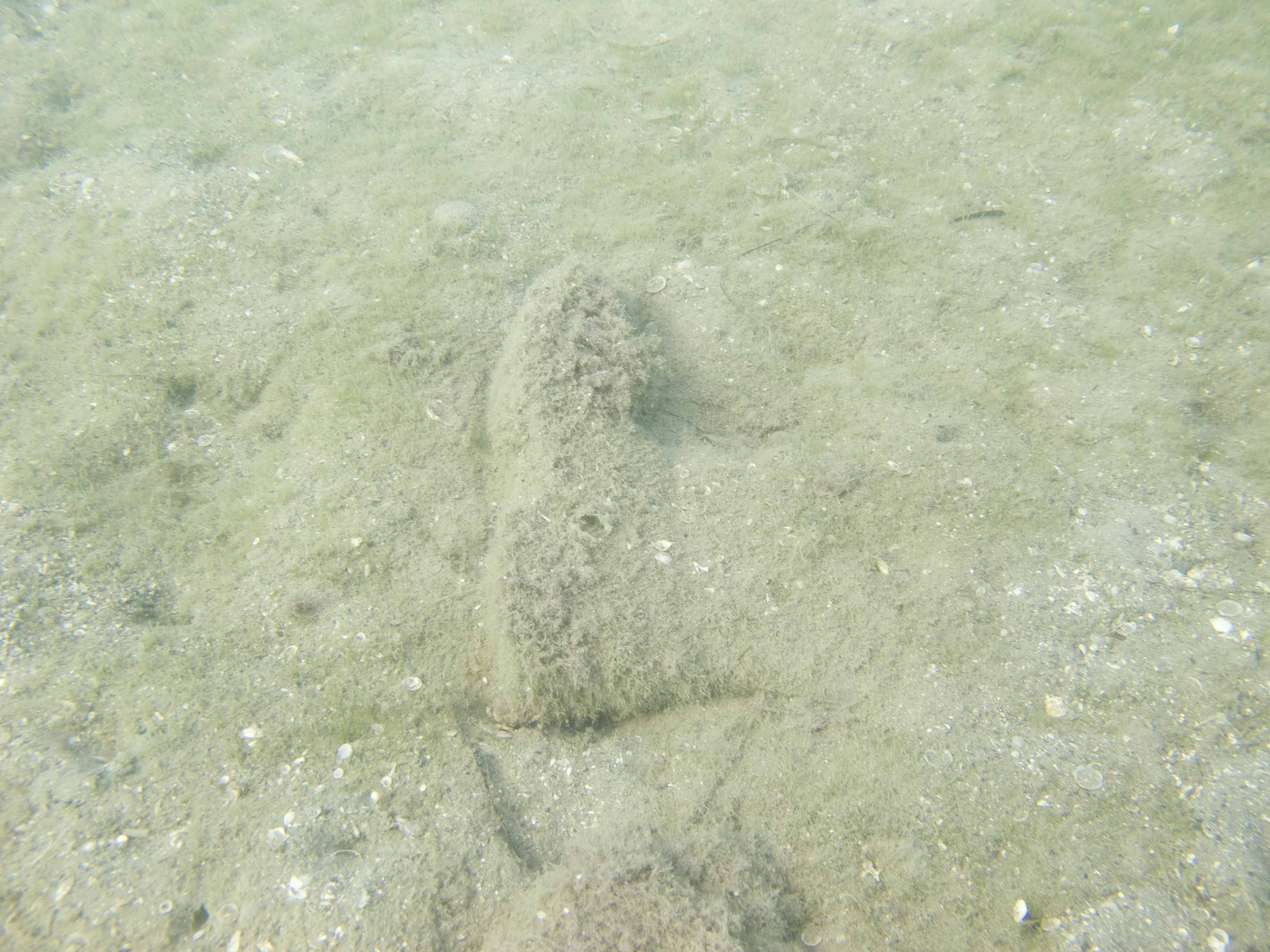
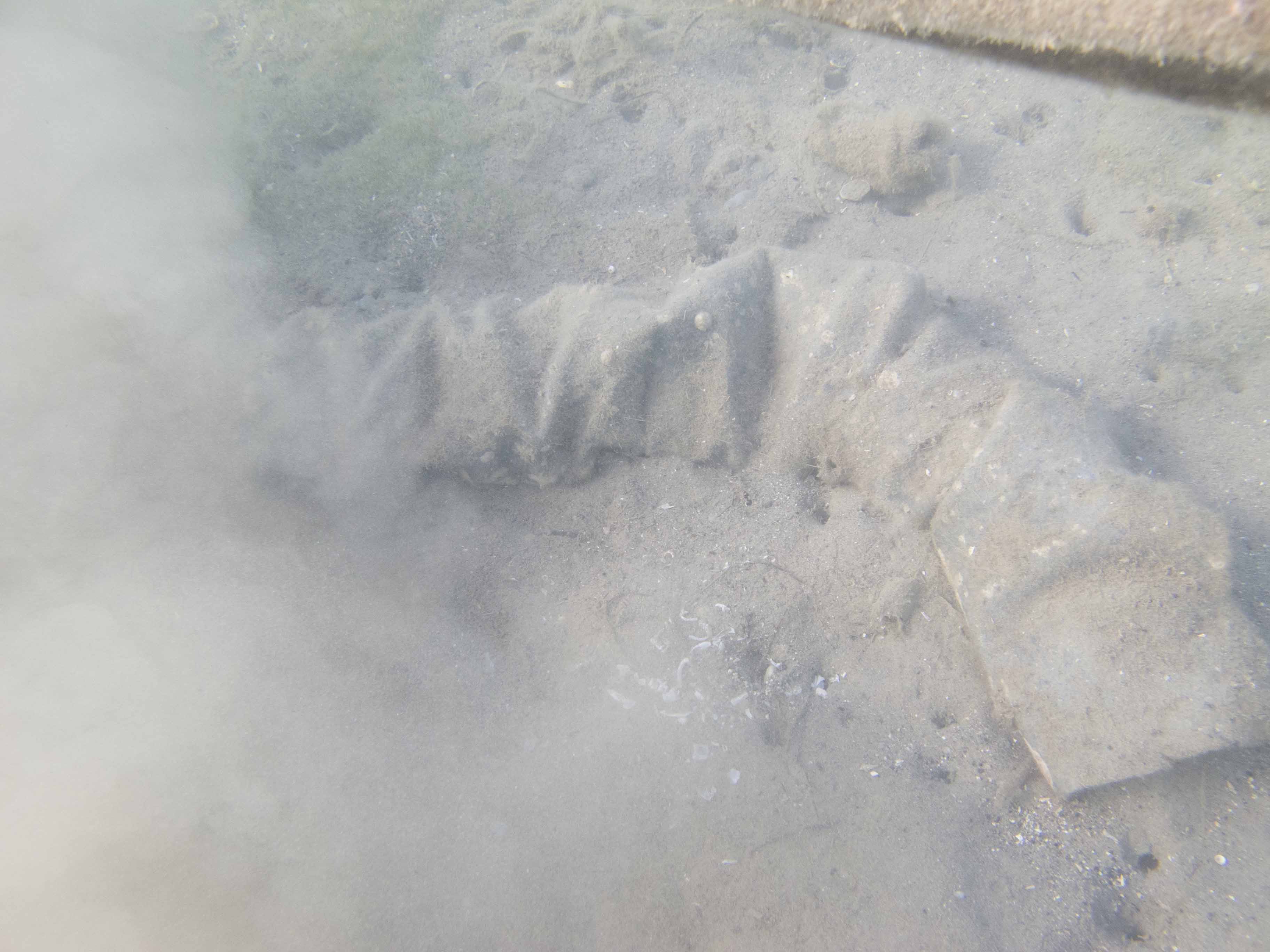
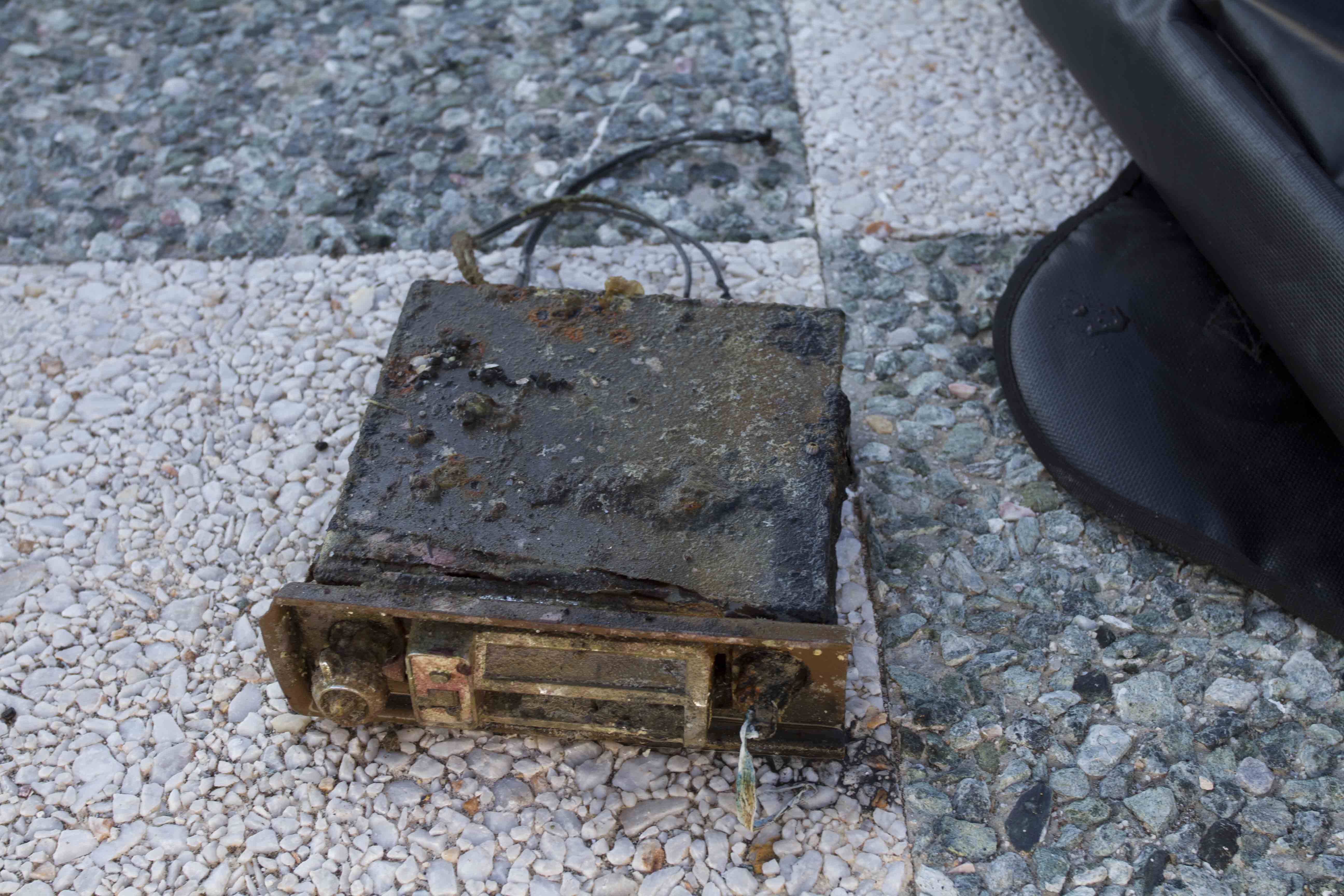
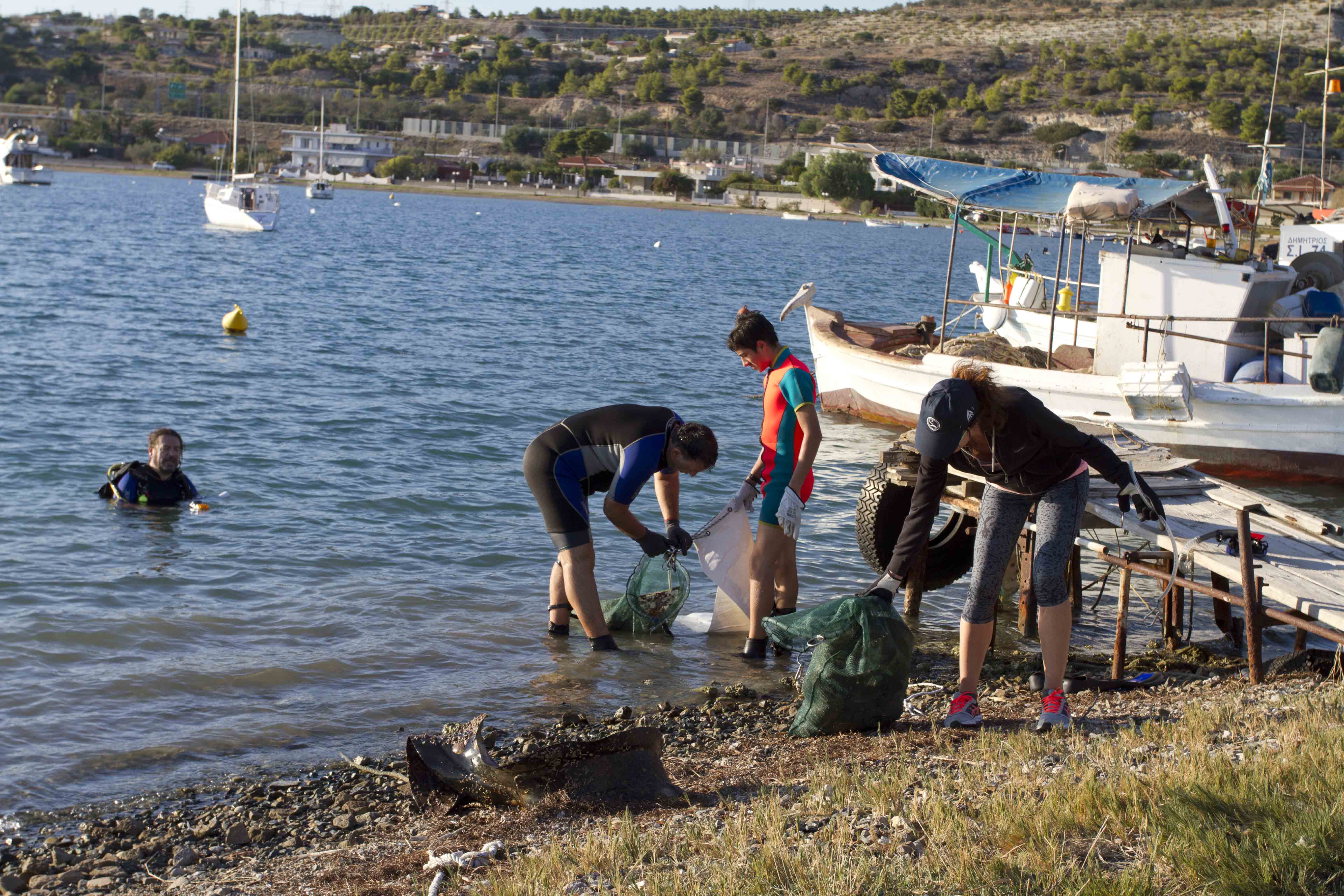
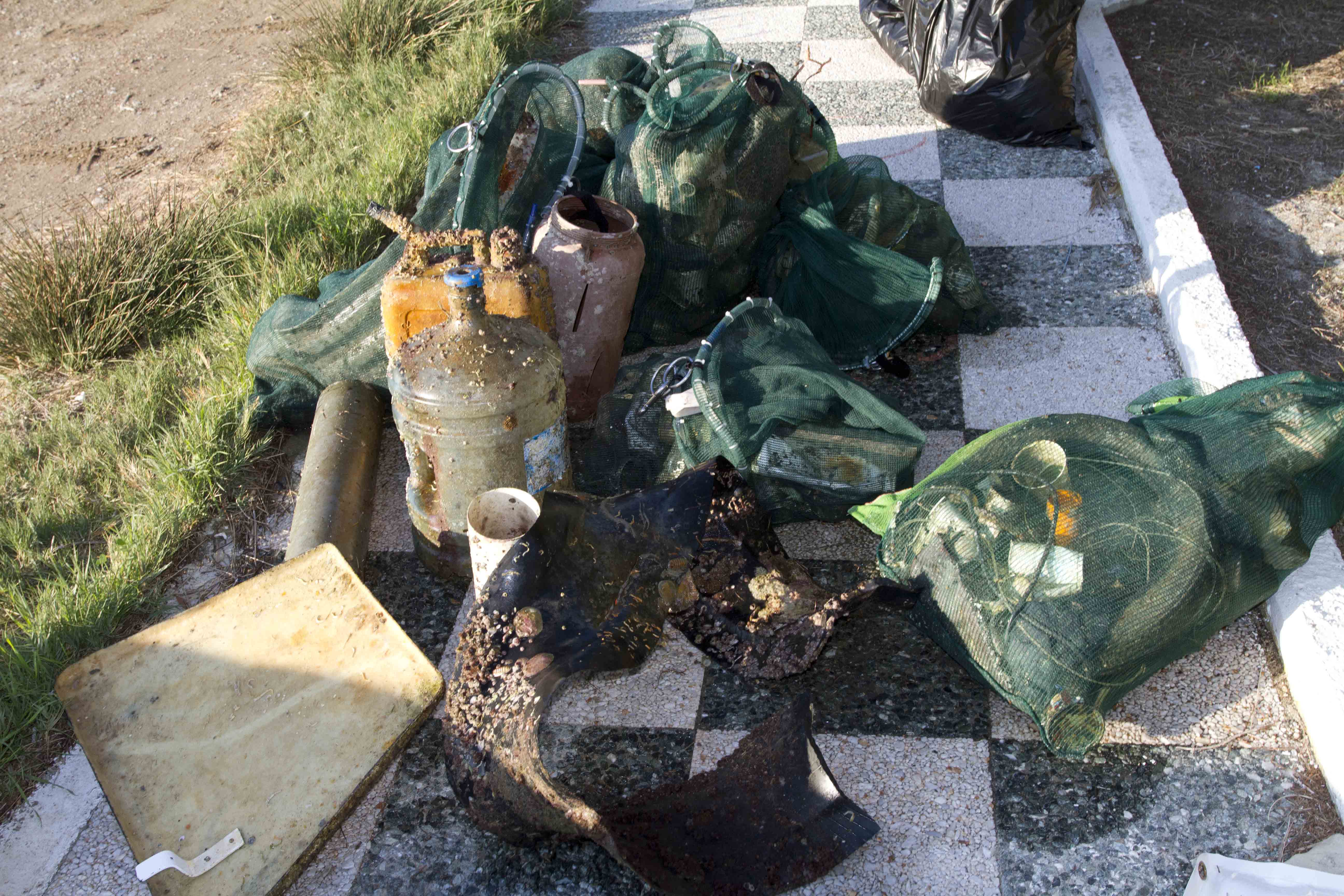
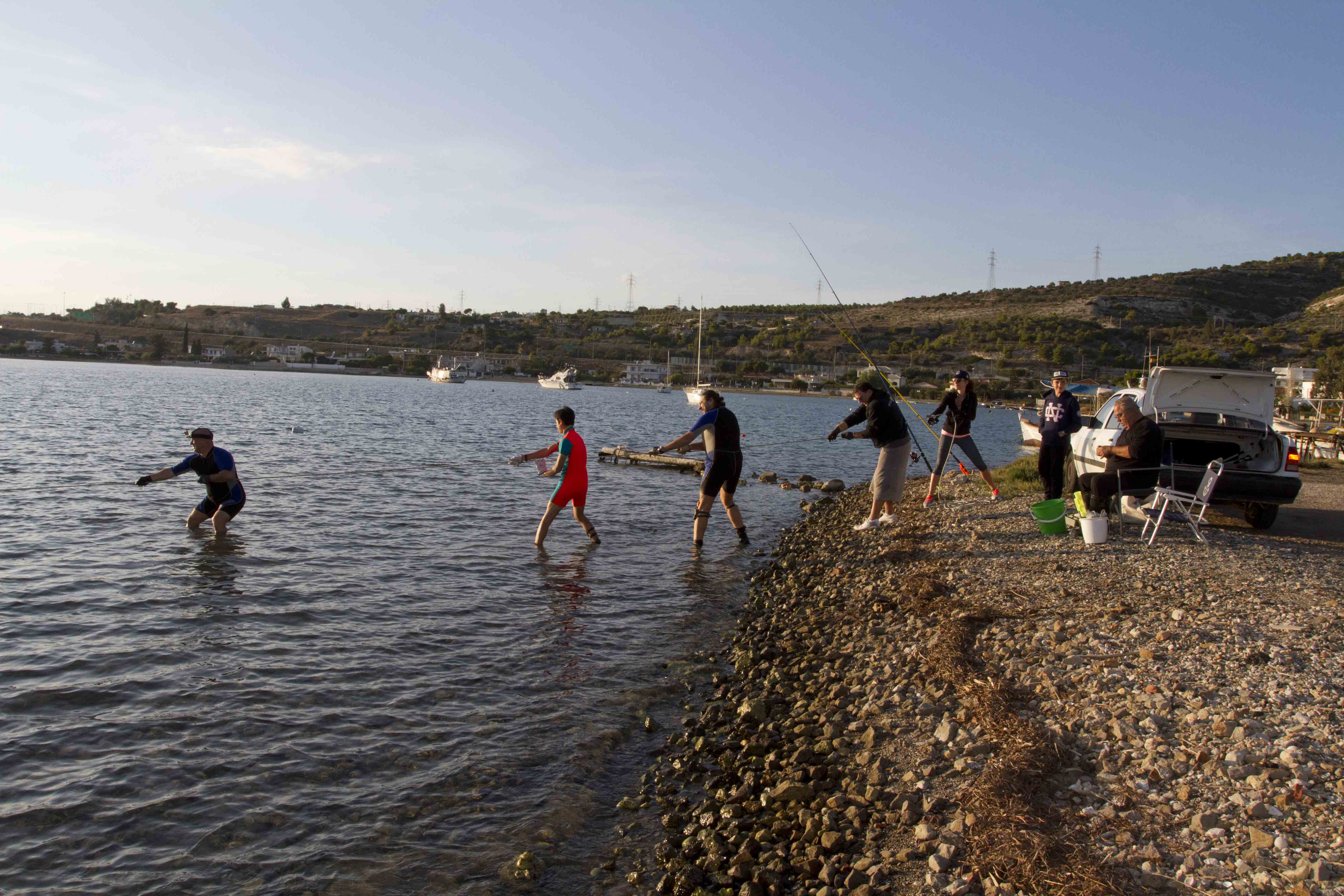
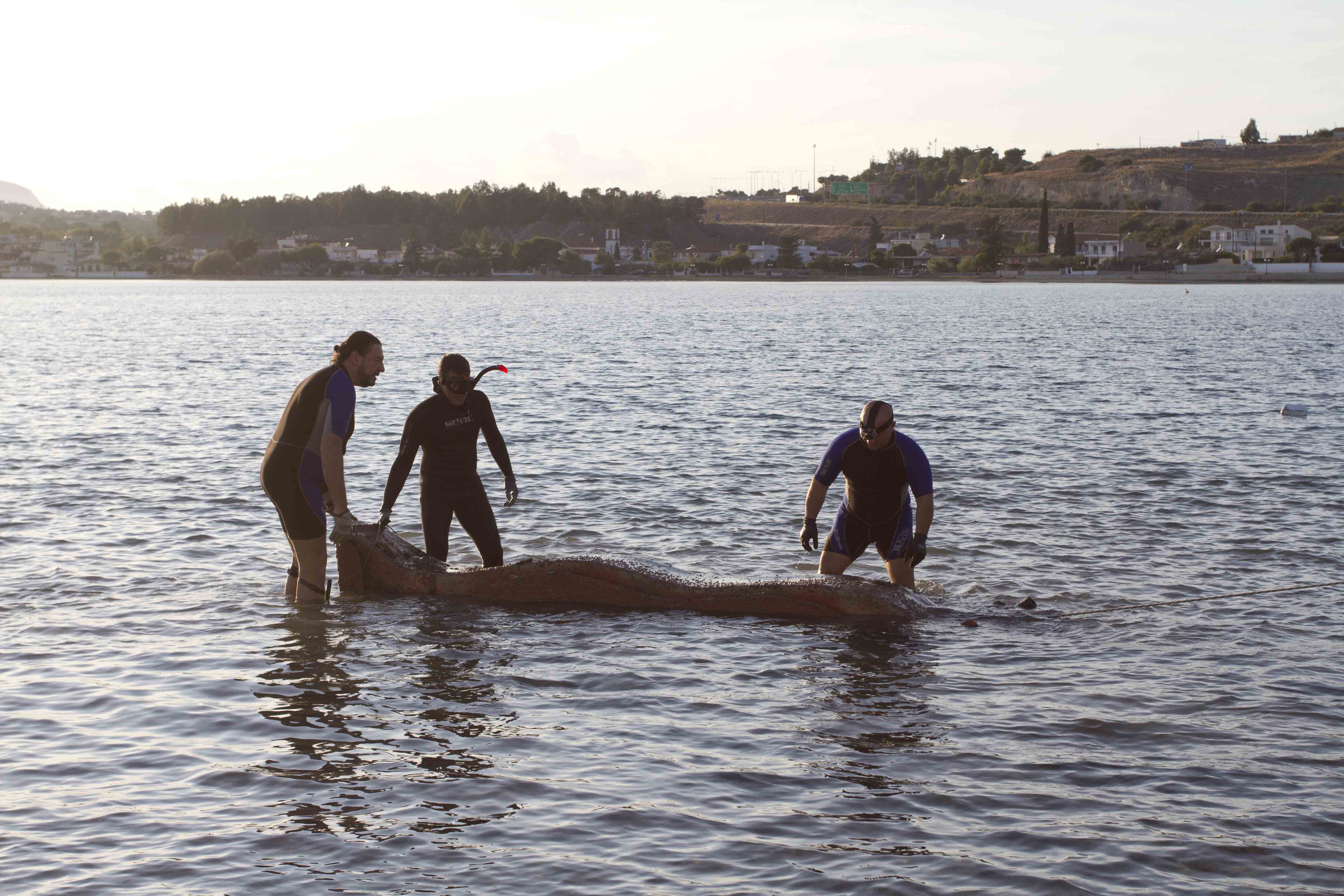
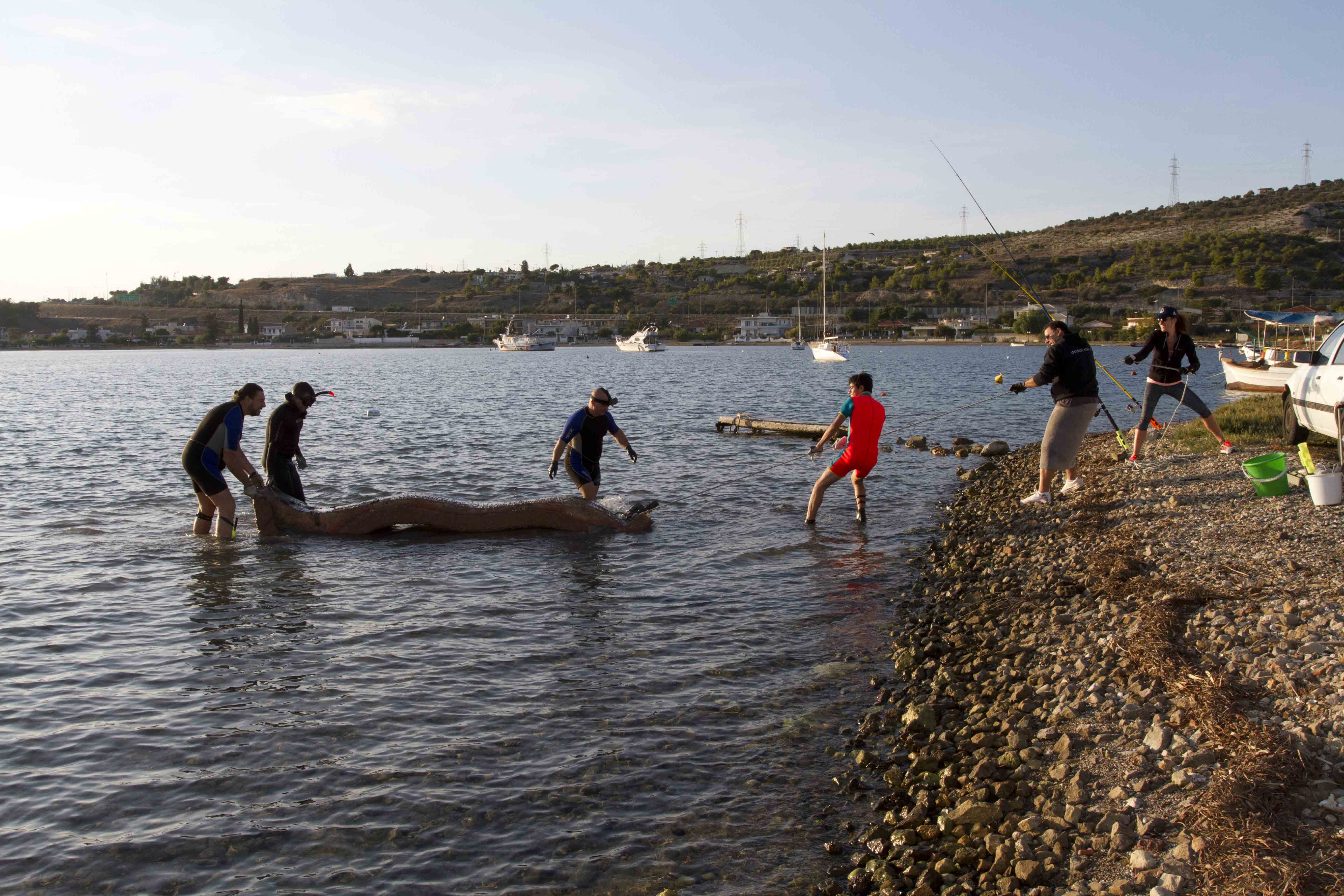
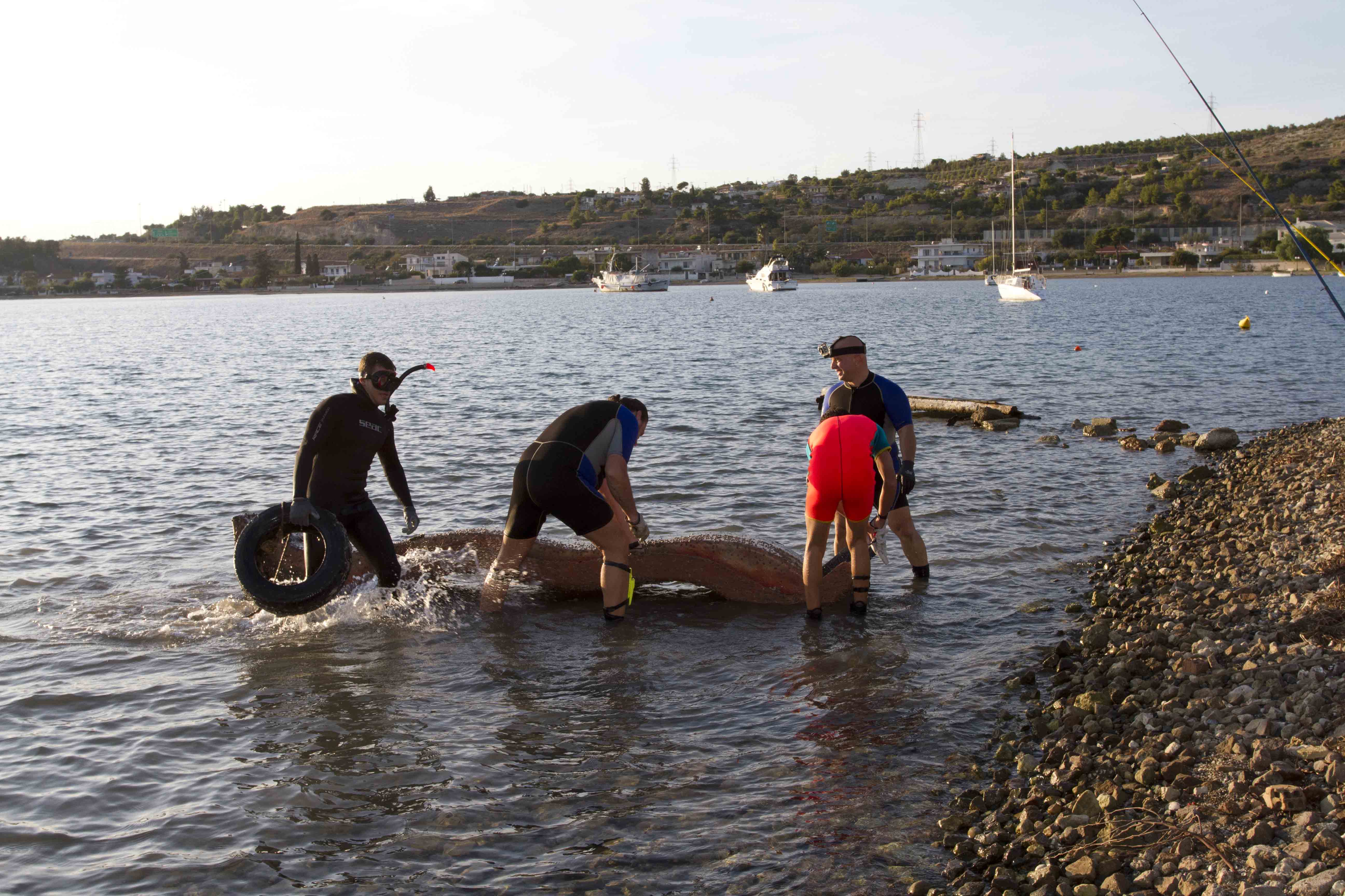
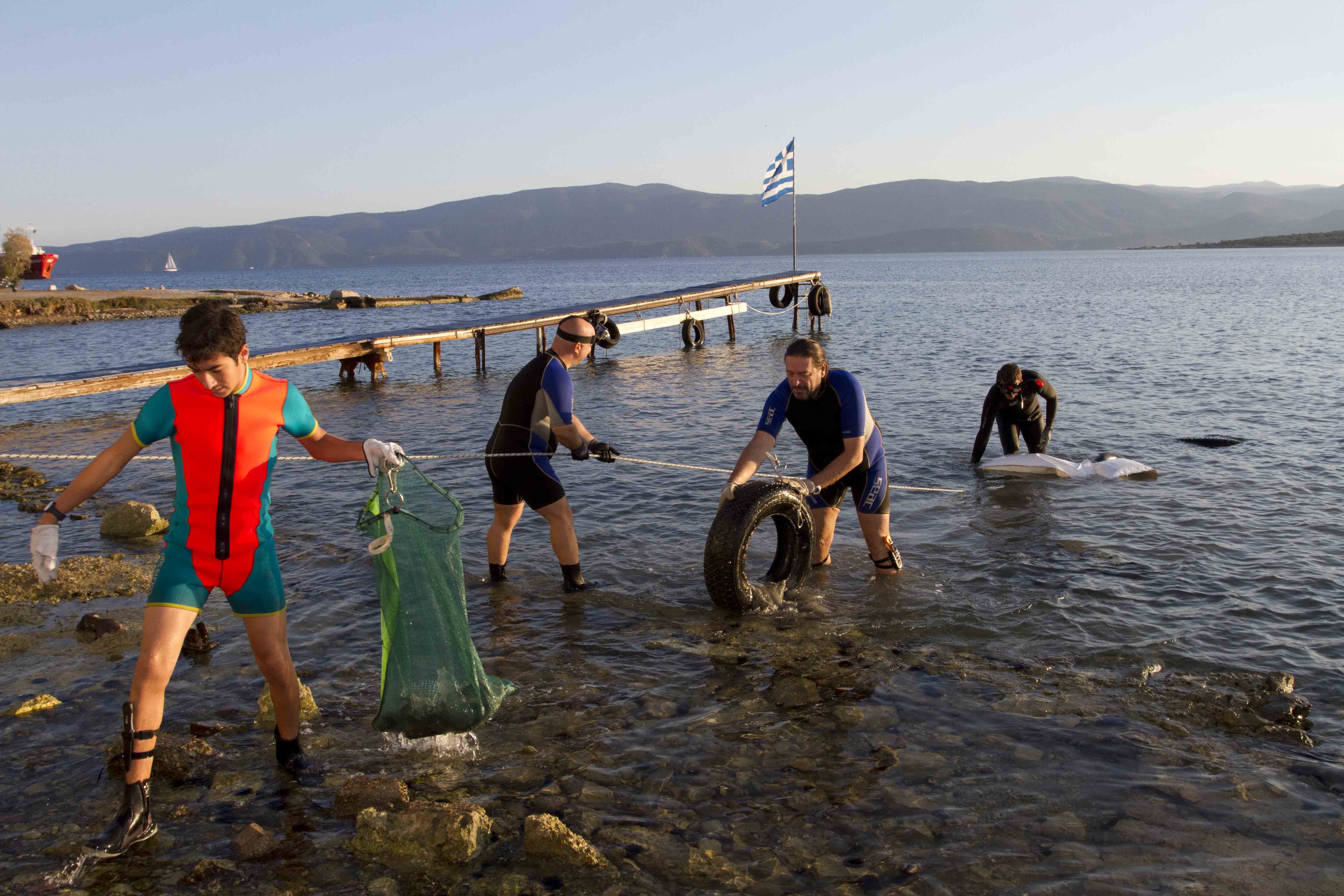
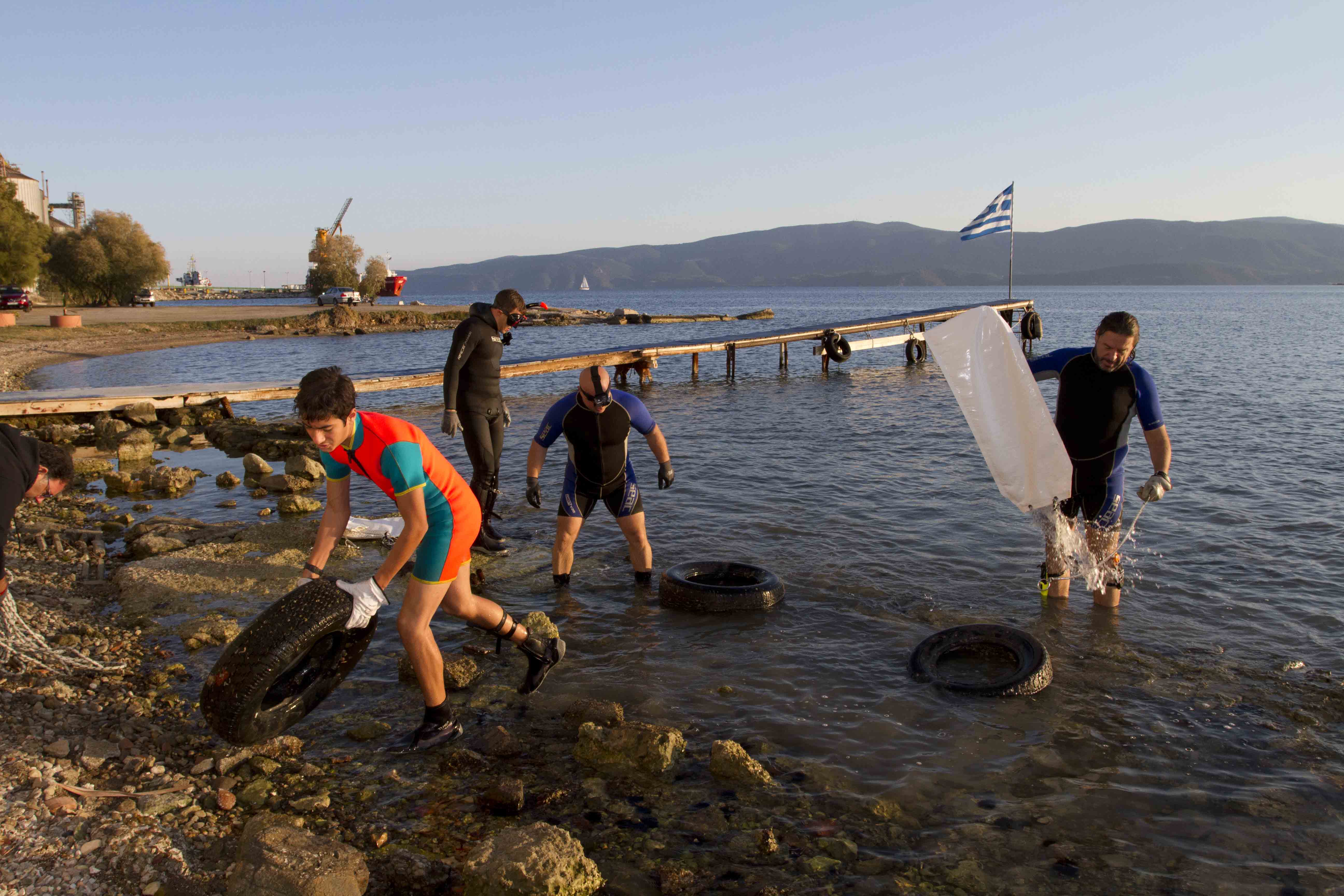
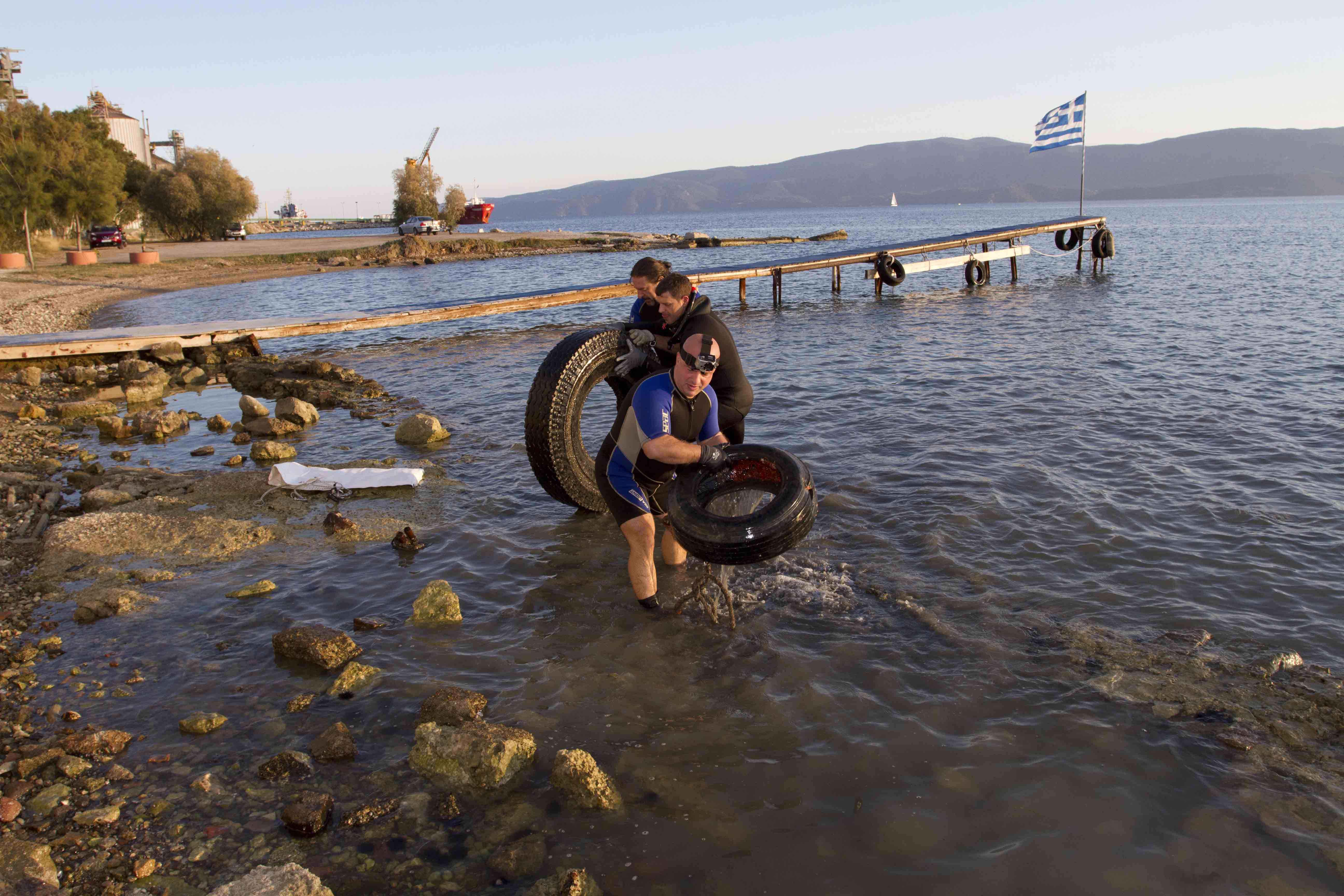
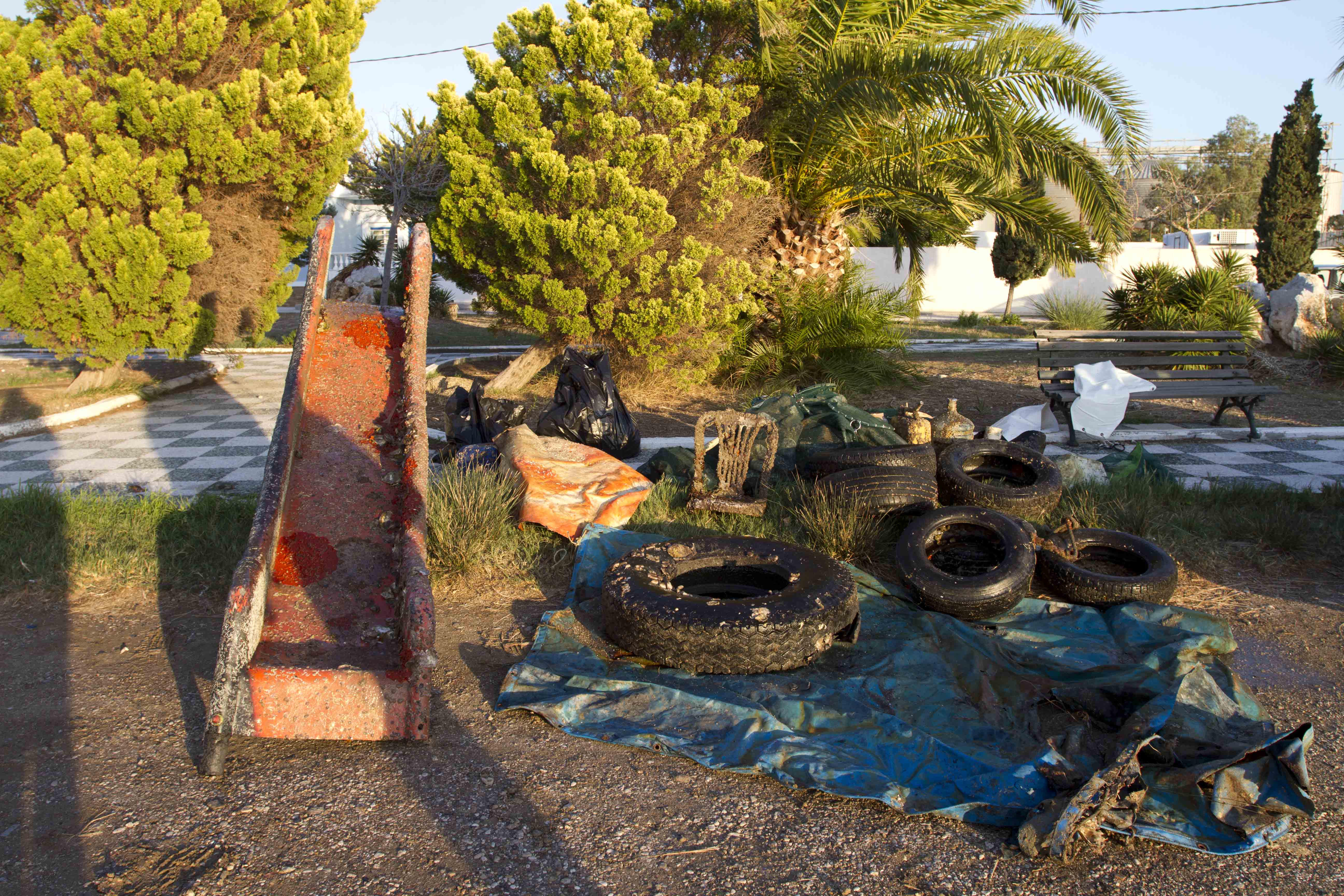
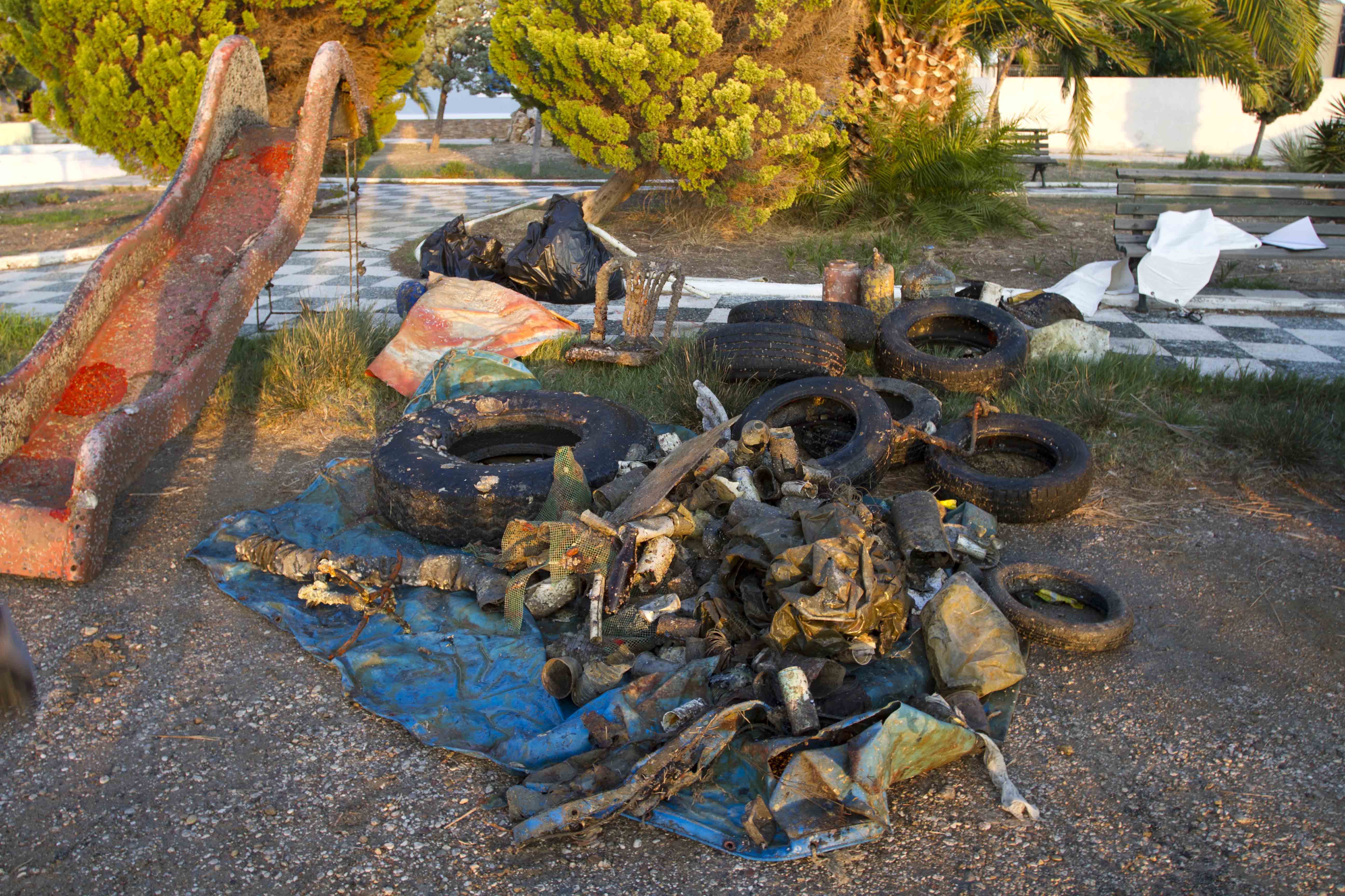
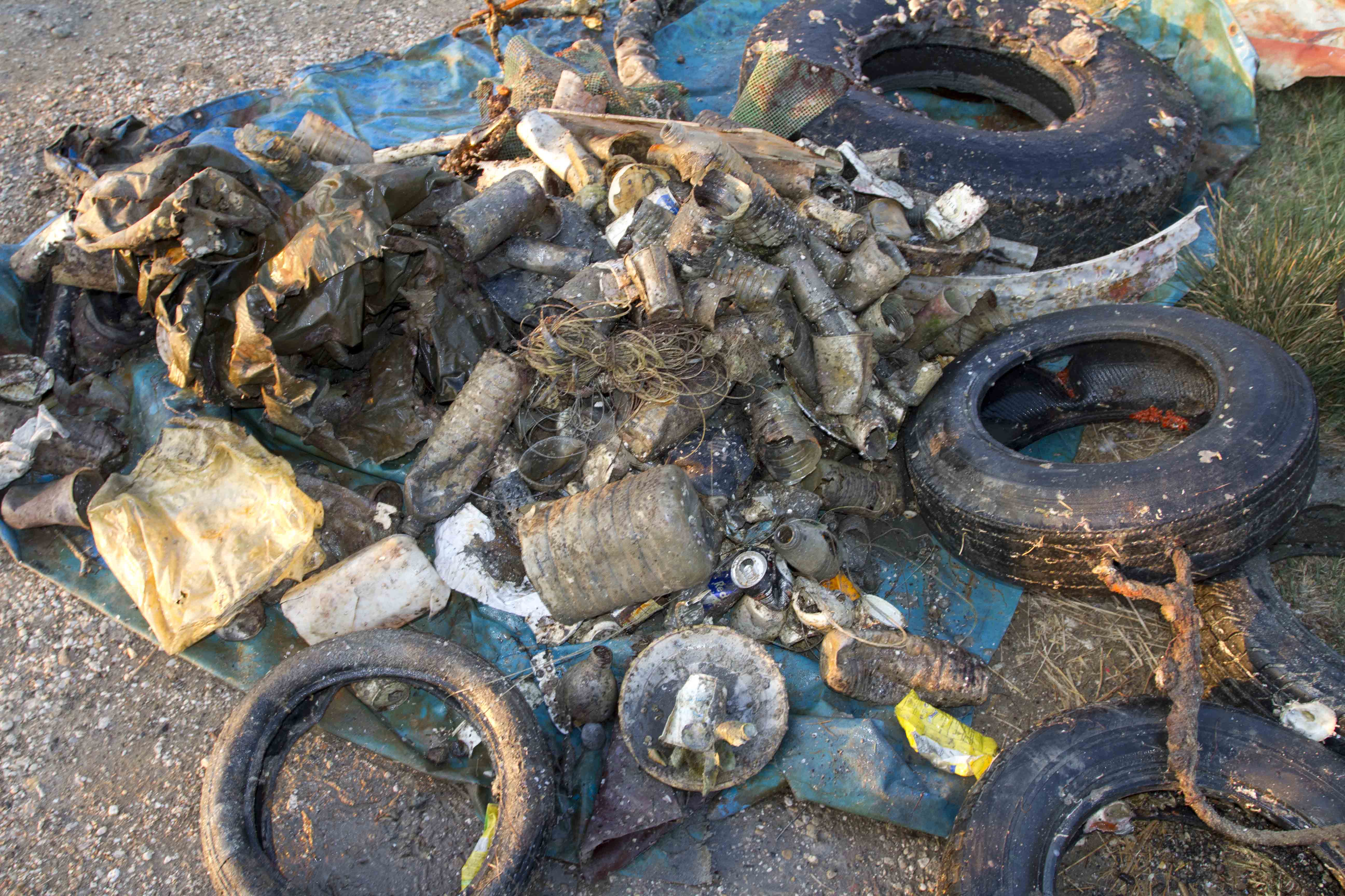
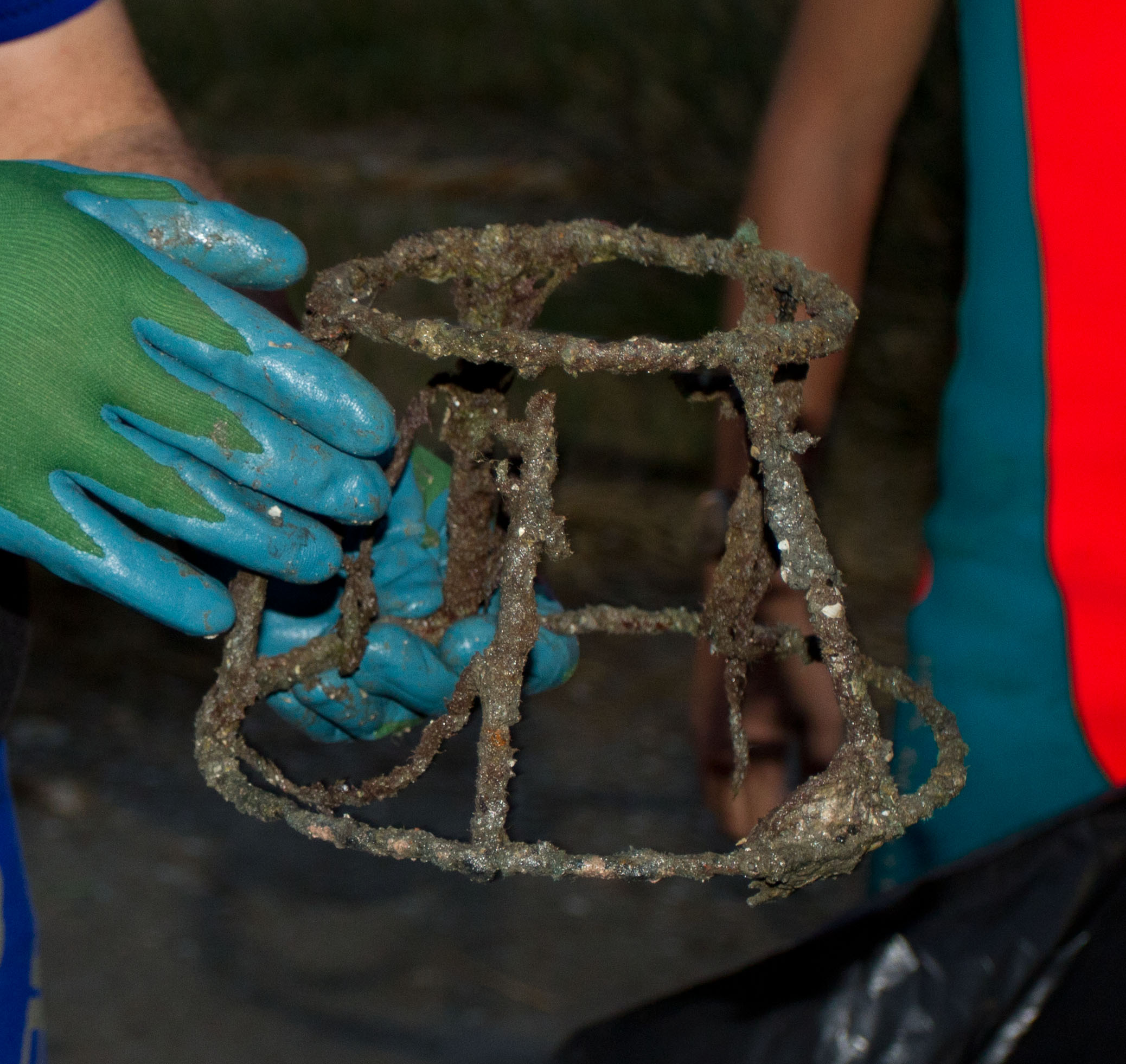
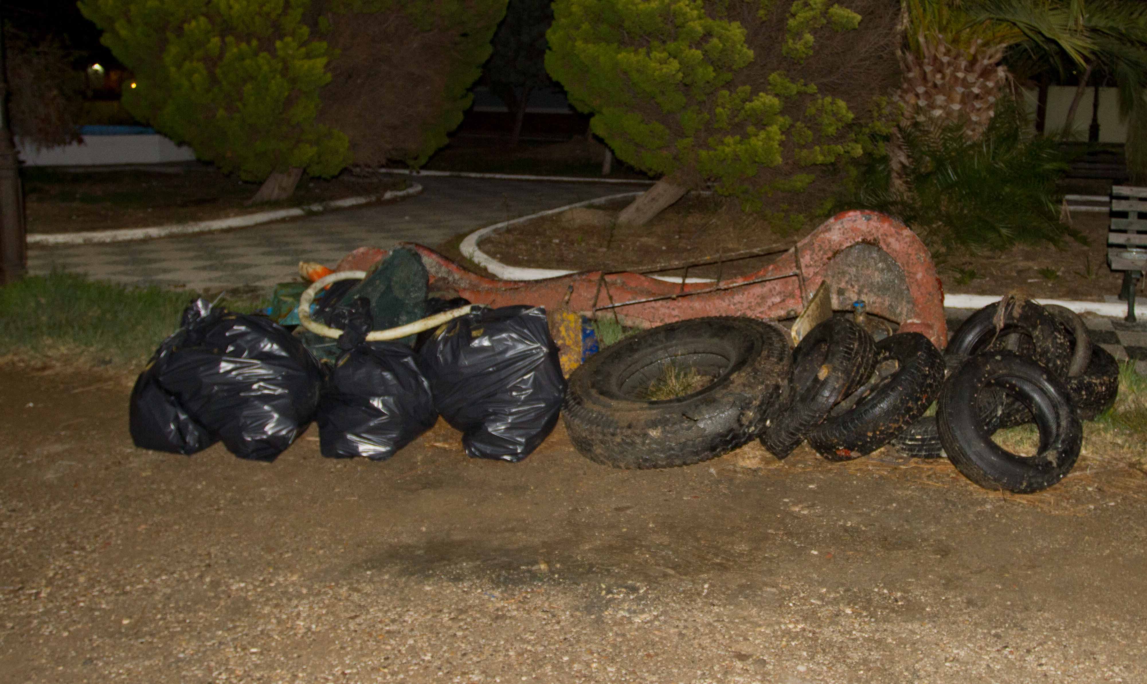
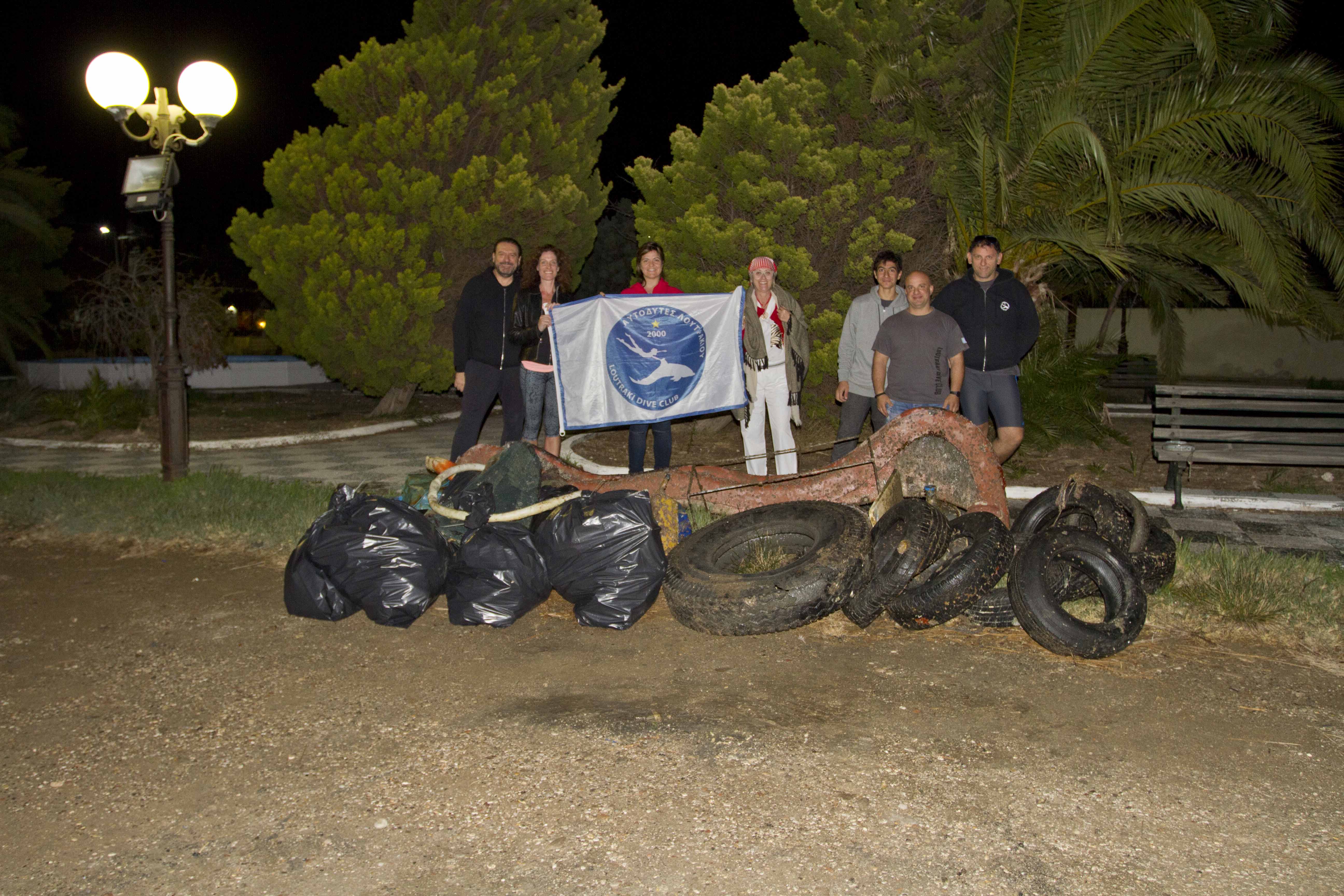
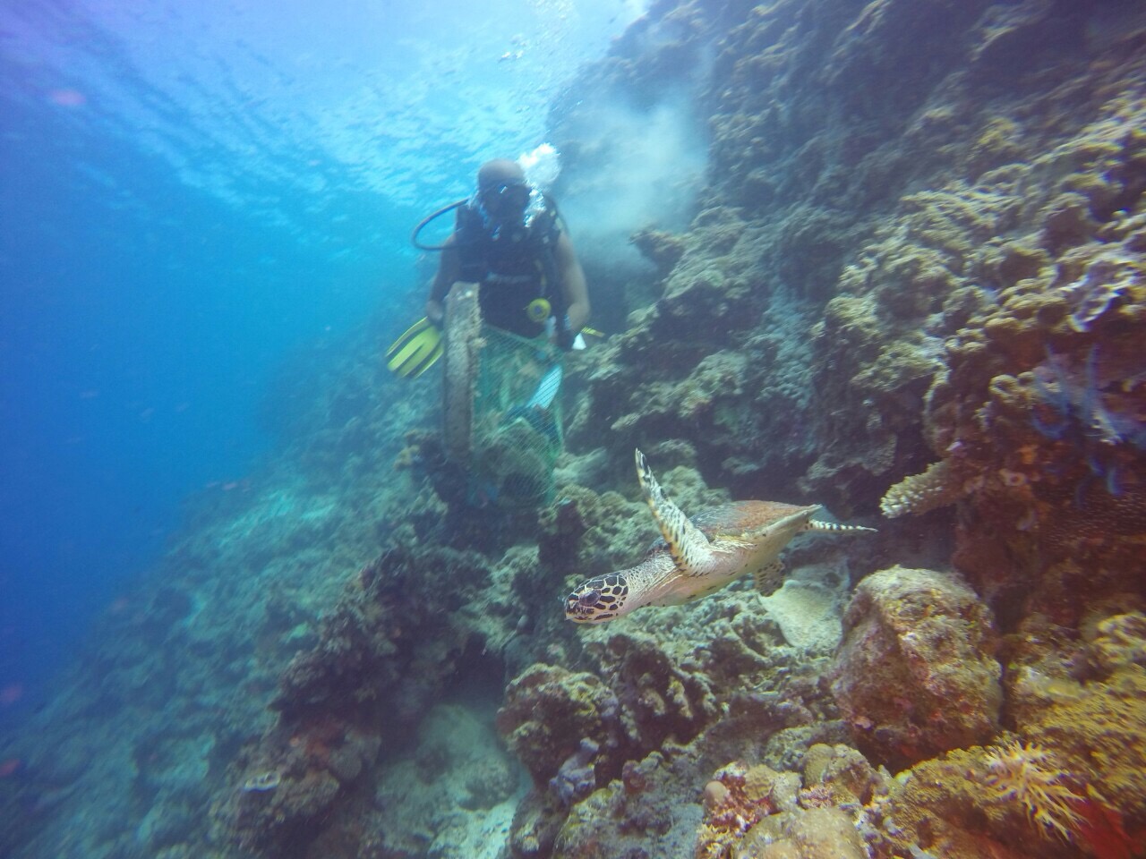
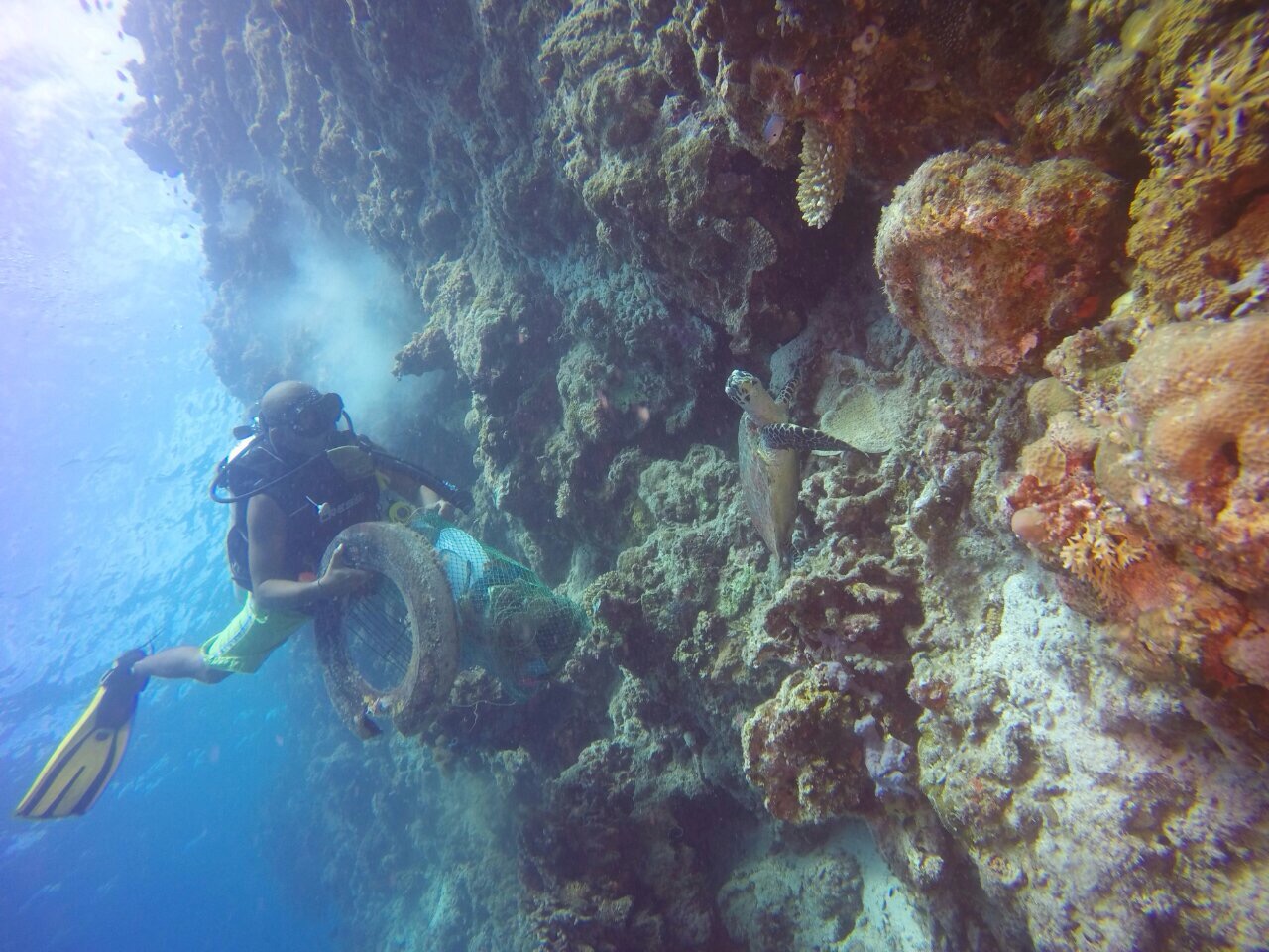
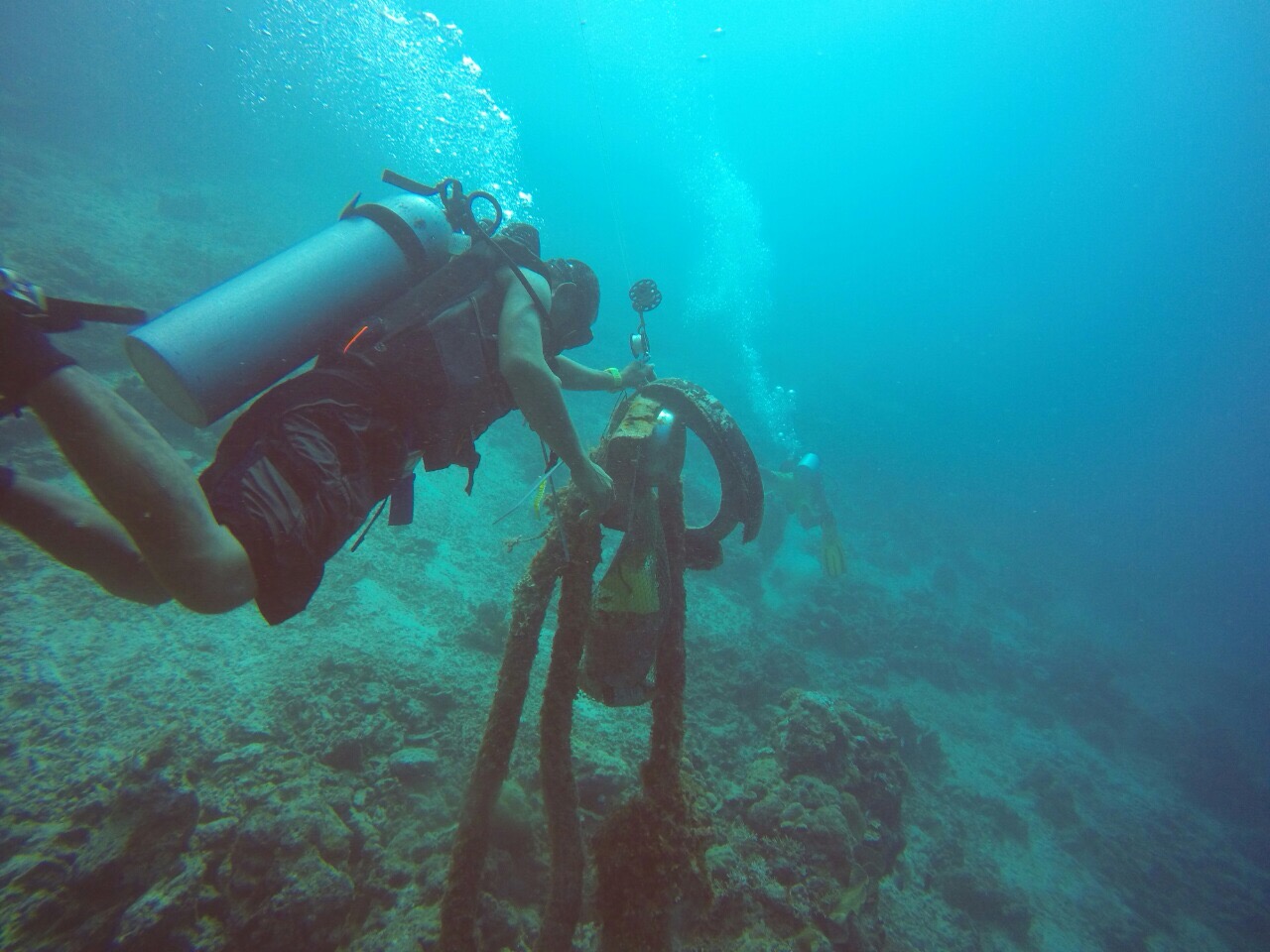
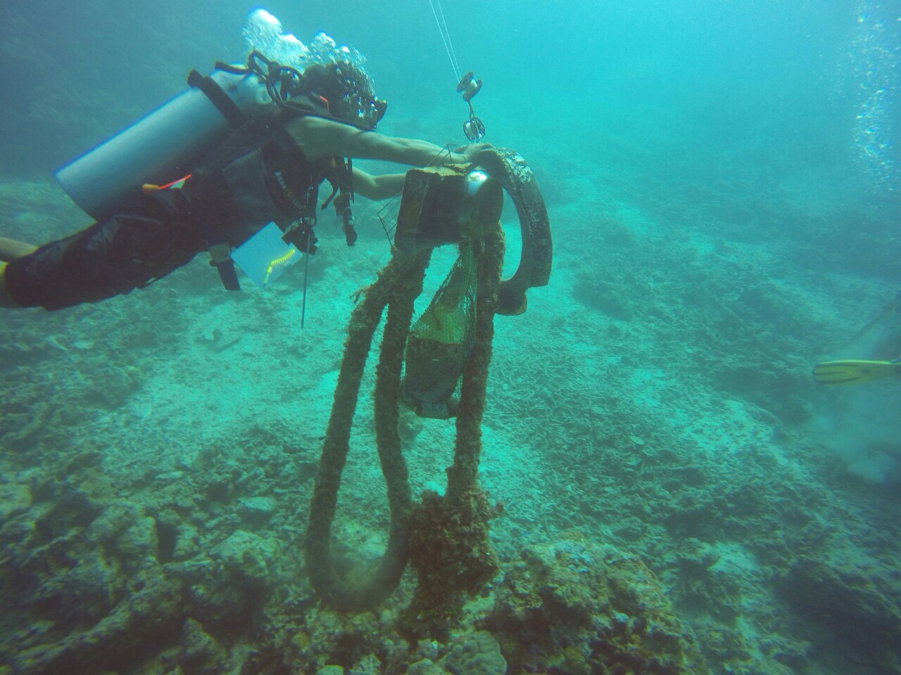
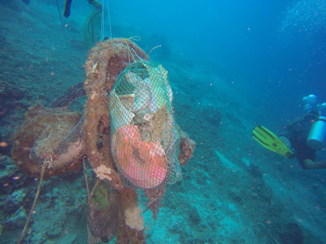
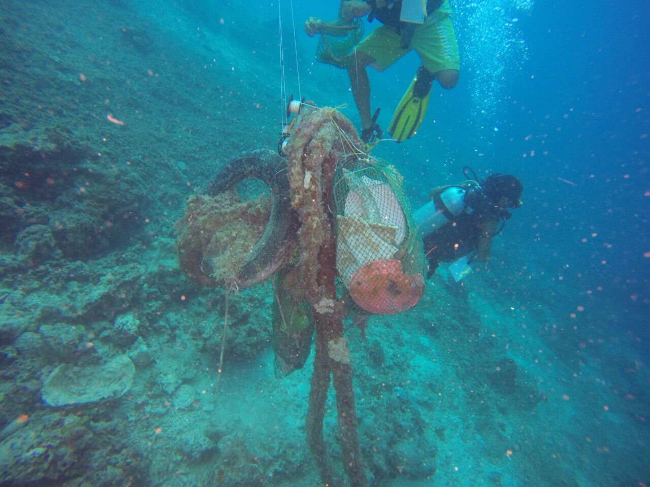
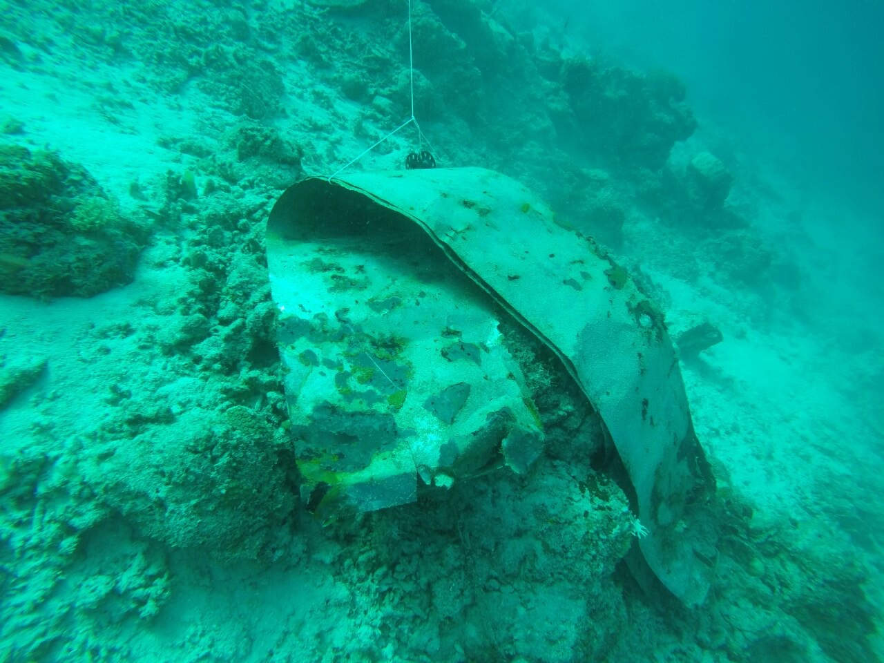
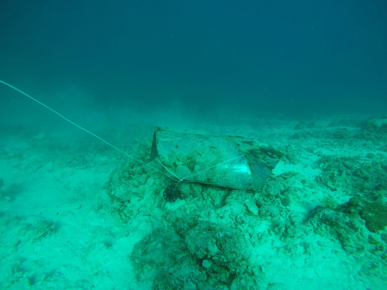
Tires
Fuerte Oleaje
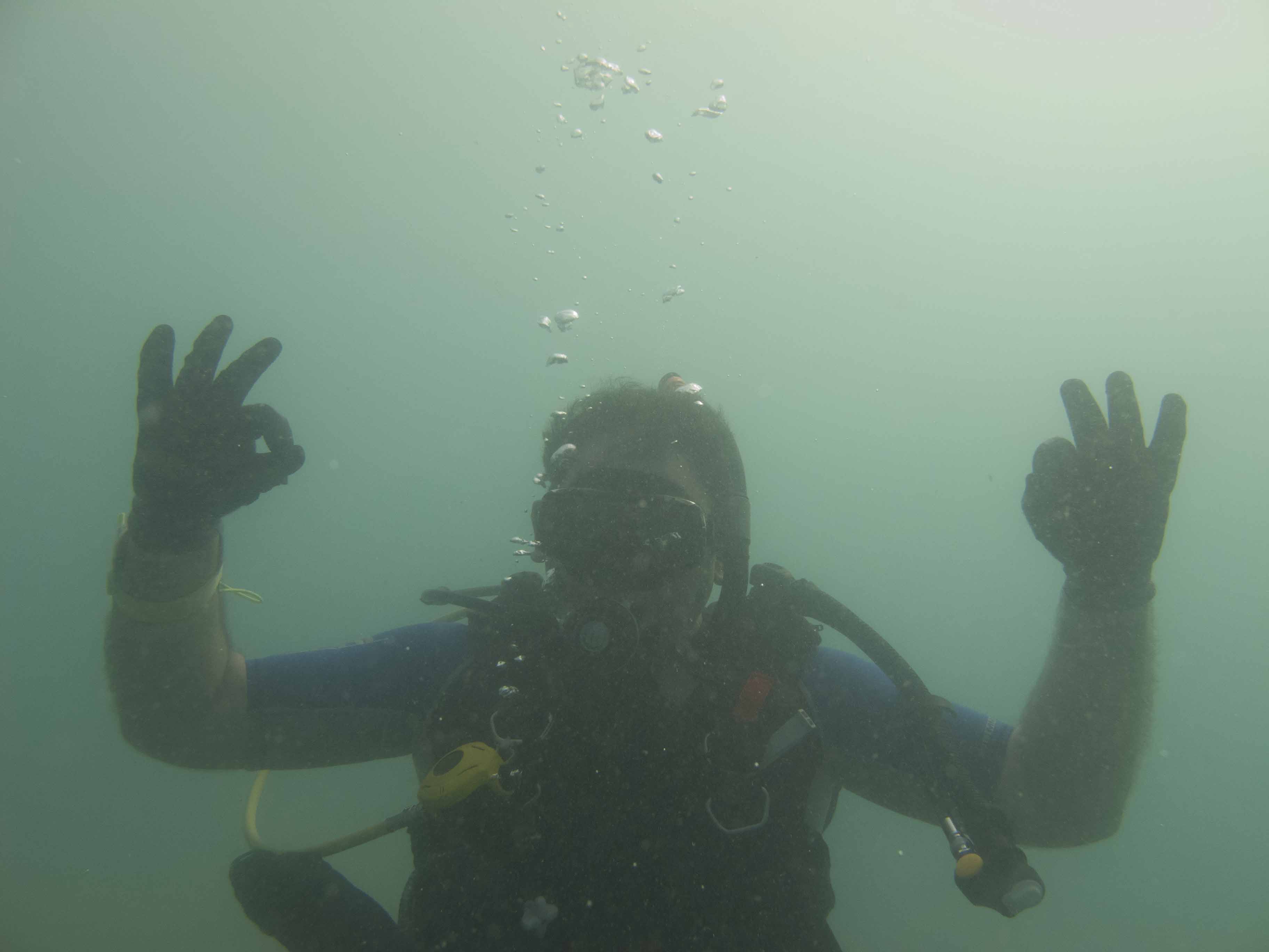
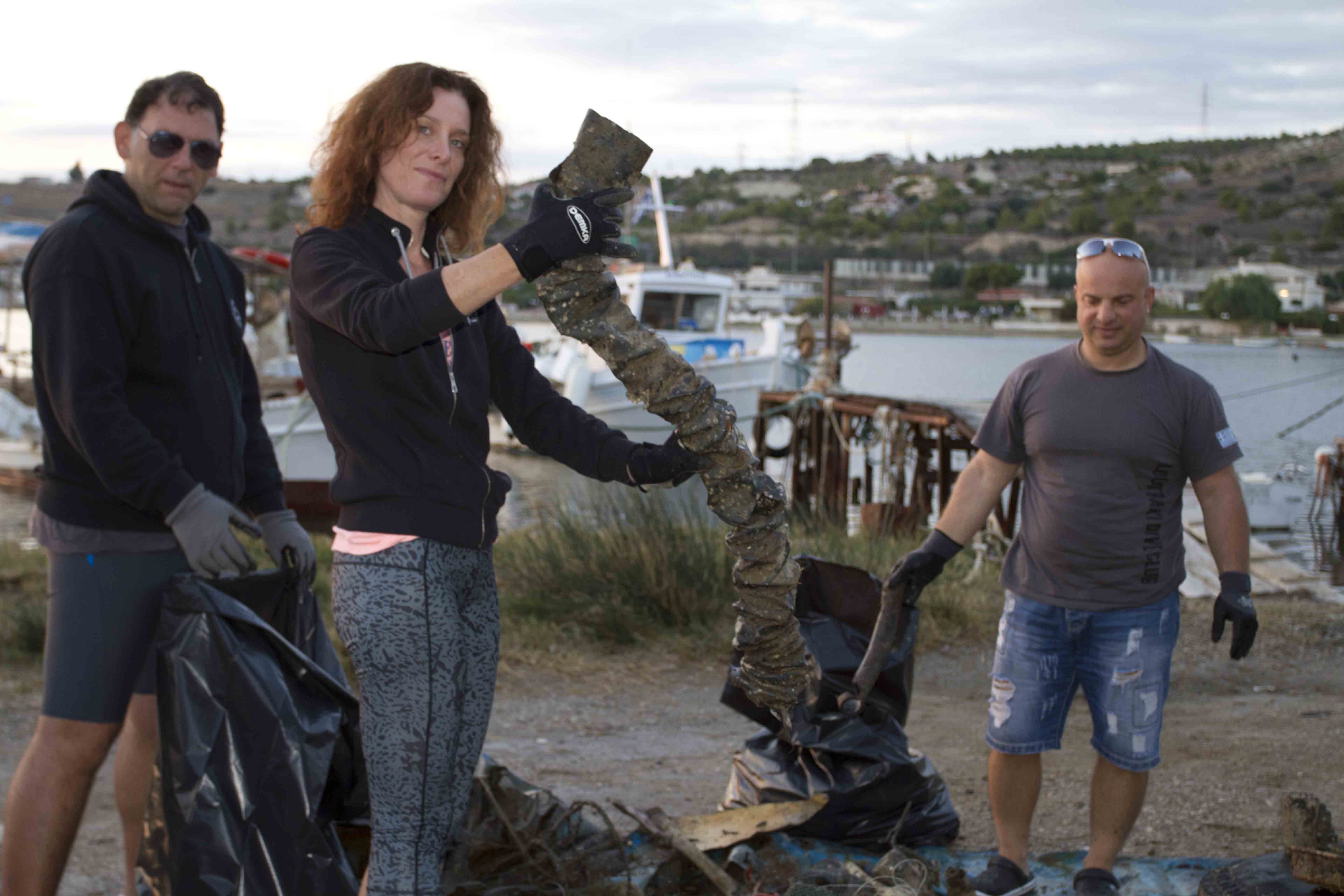
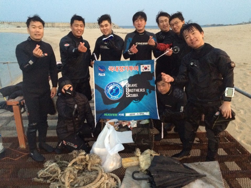
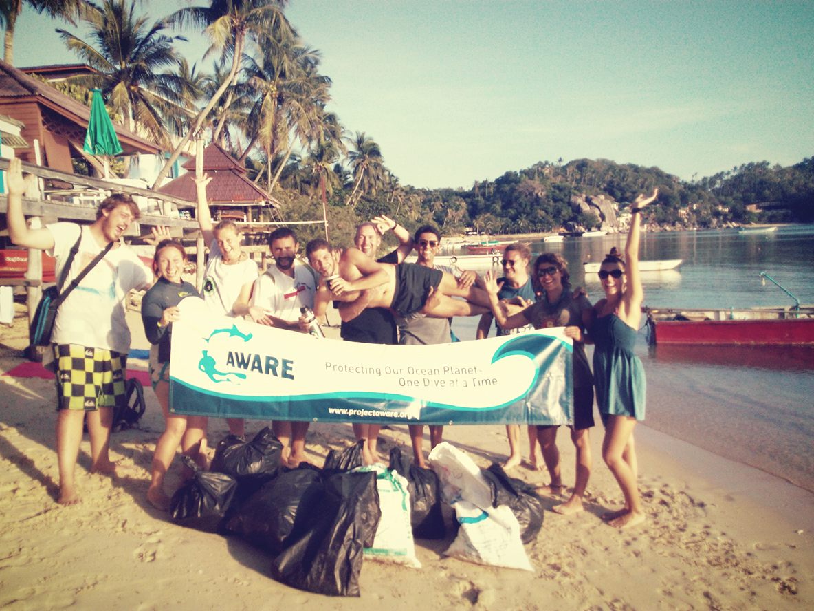
Help 2 Oceanos Foundation
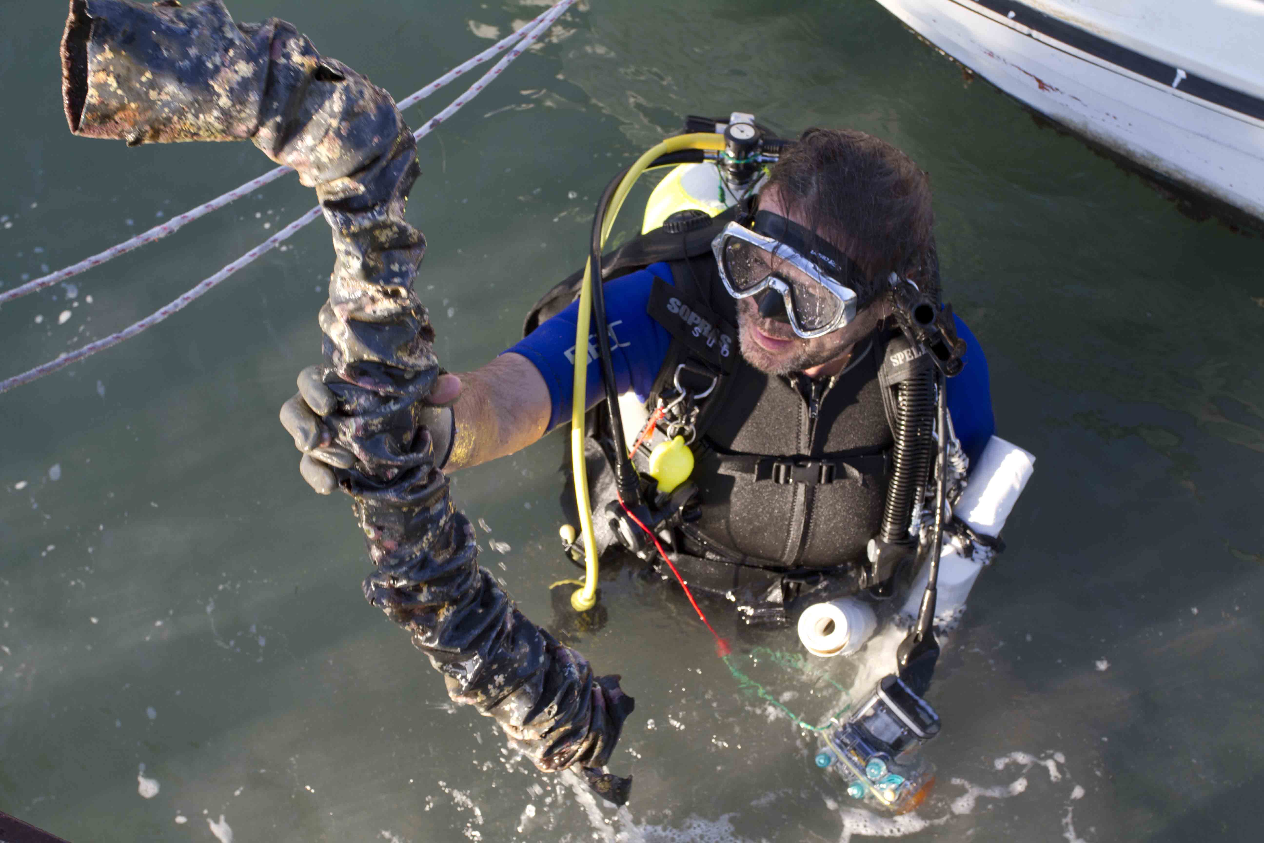
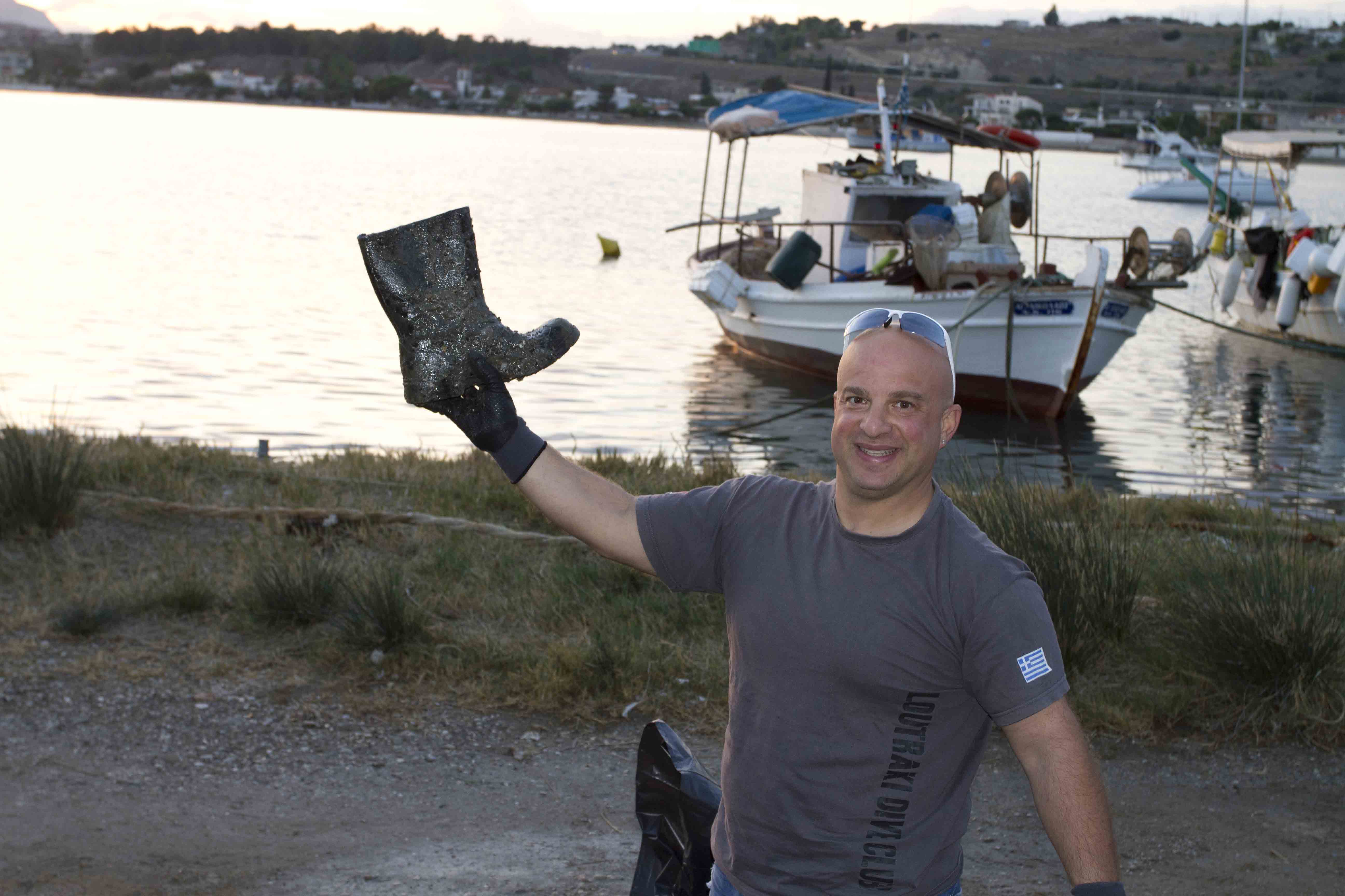
Jorge Dos Oceanos
15
915.00
50
13.40
1.50
estimated
4000.00
61
On
kilograms
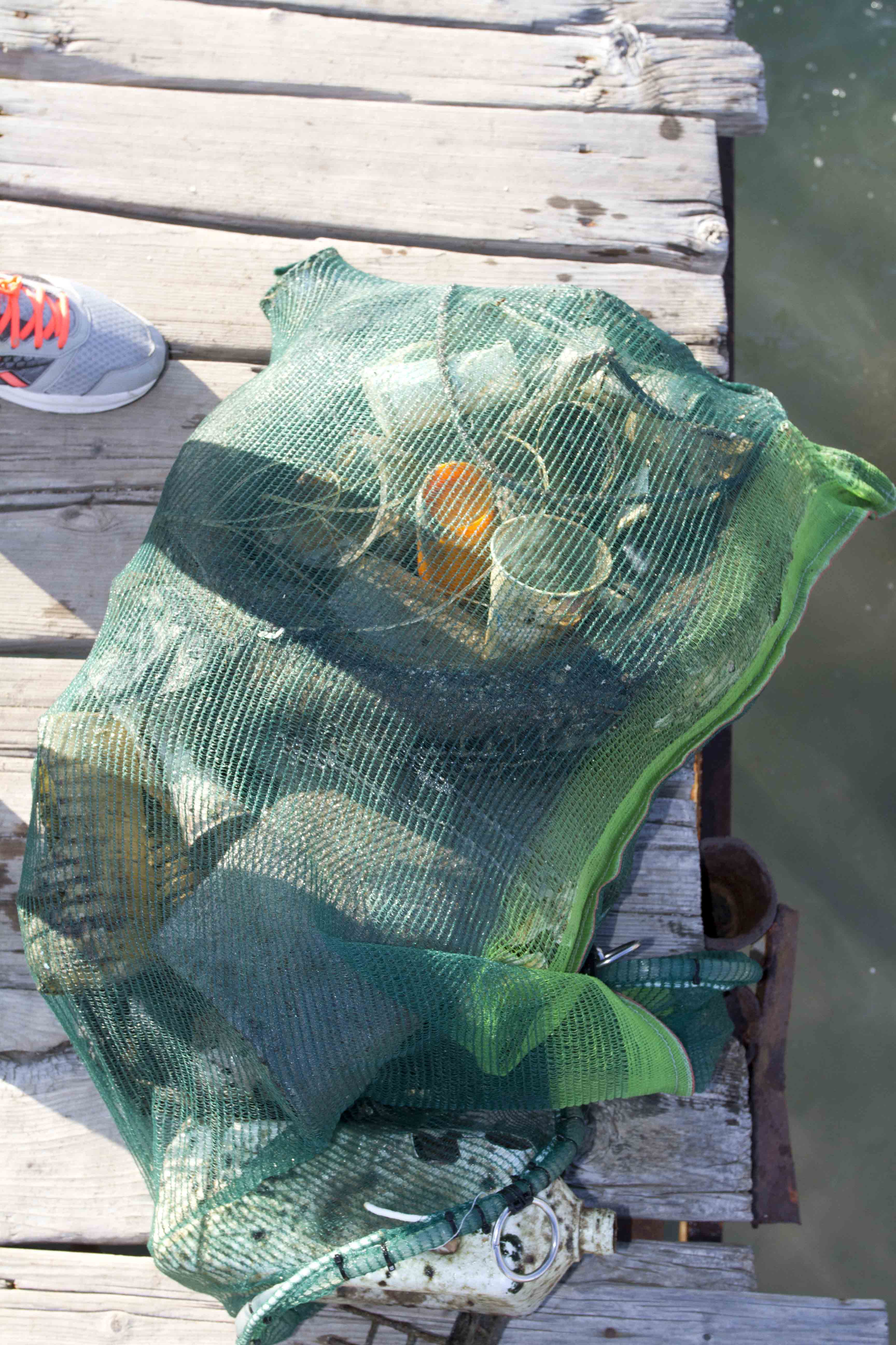
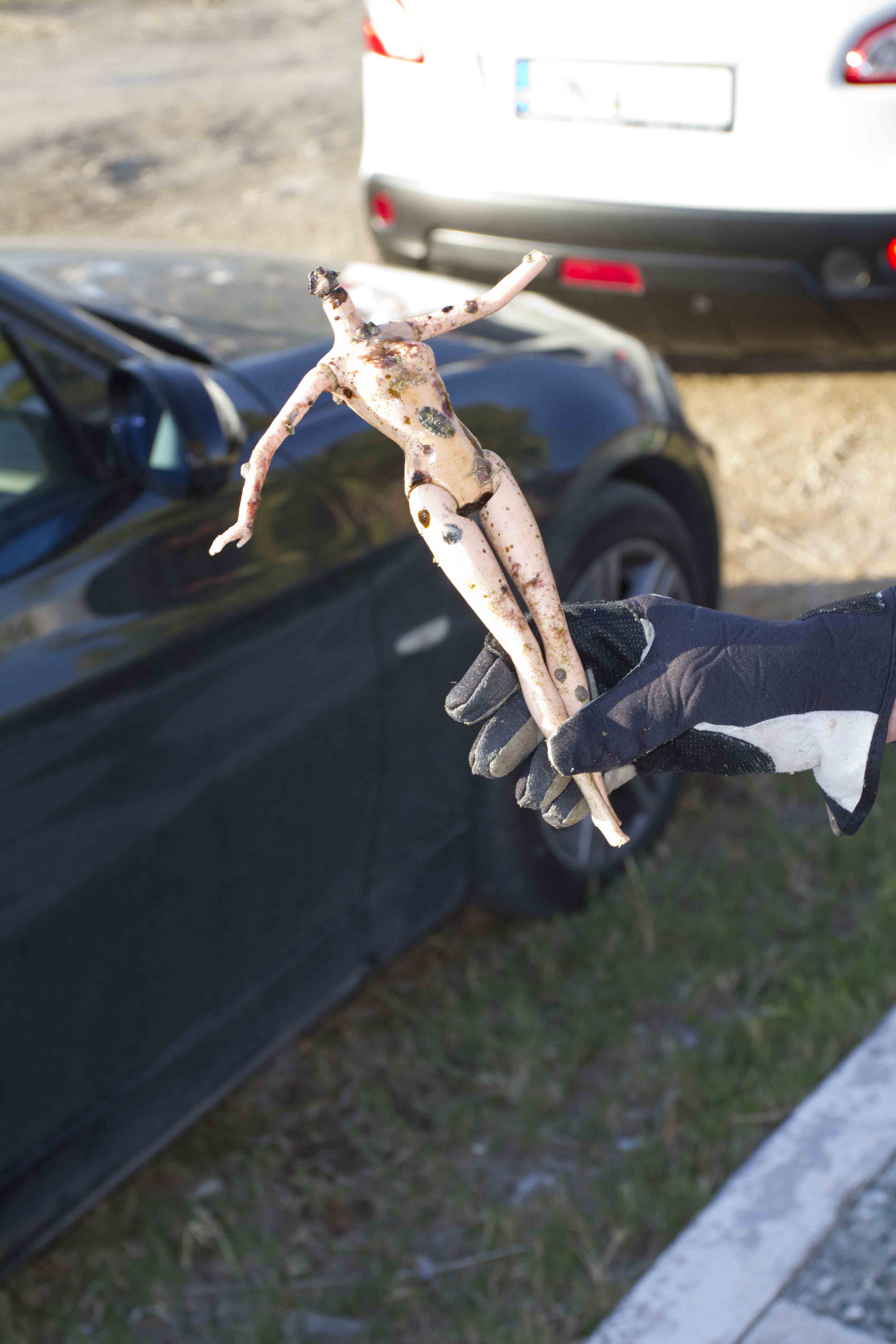
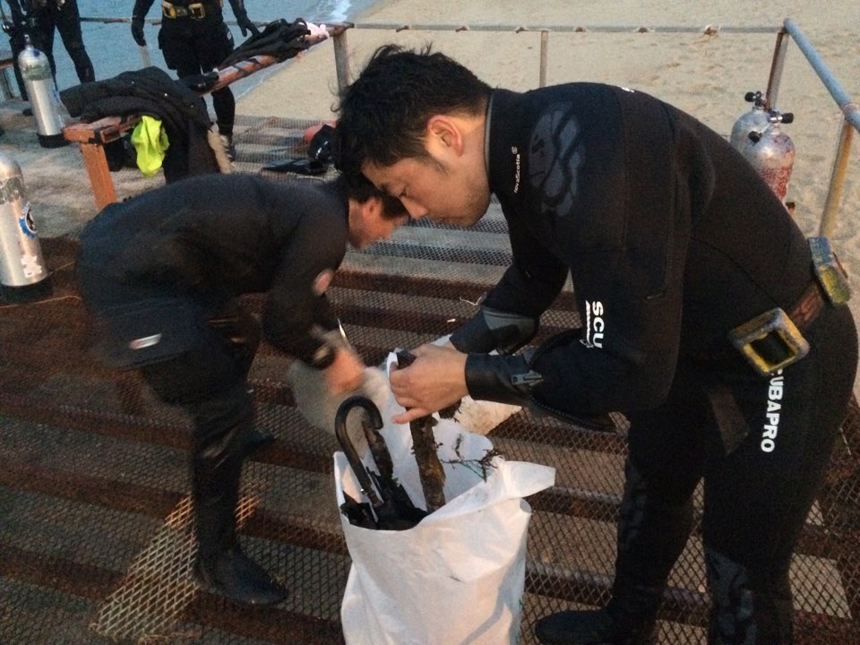
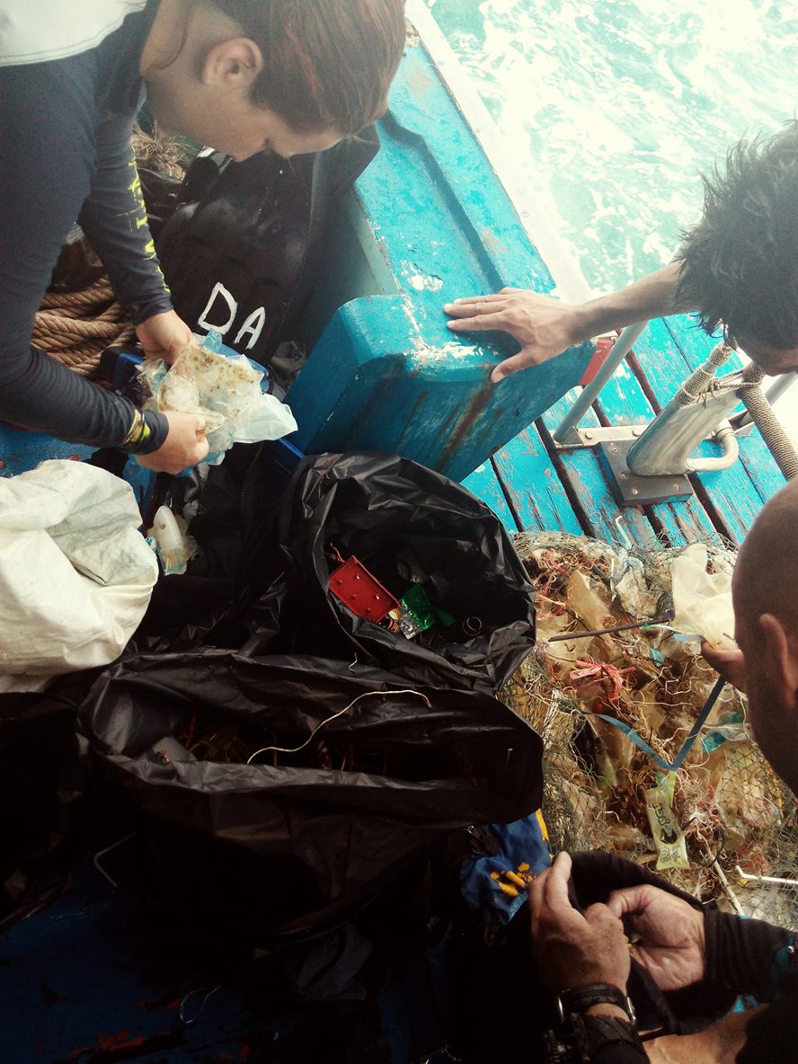
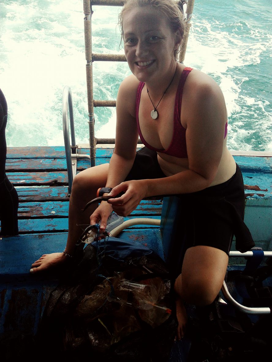
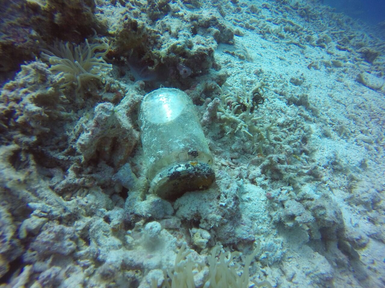
I have debris data to report
1
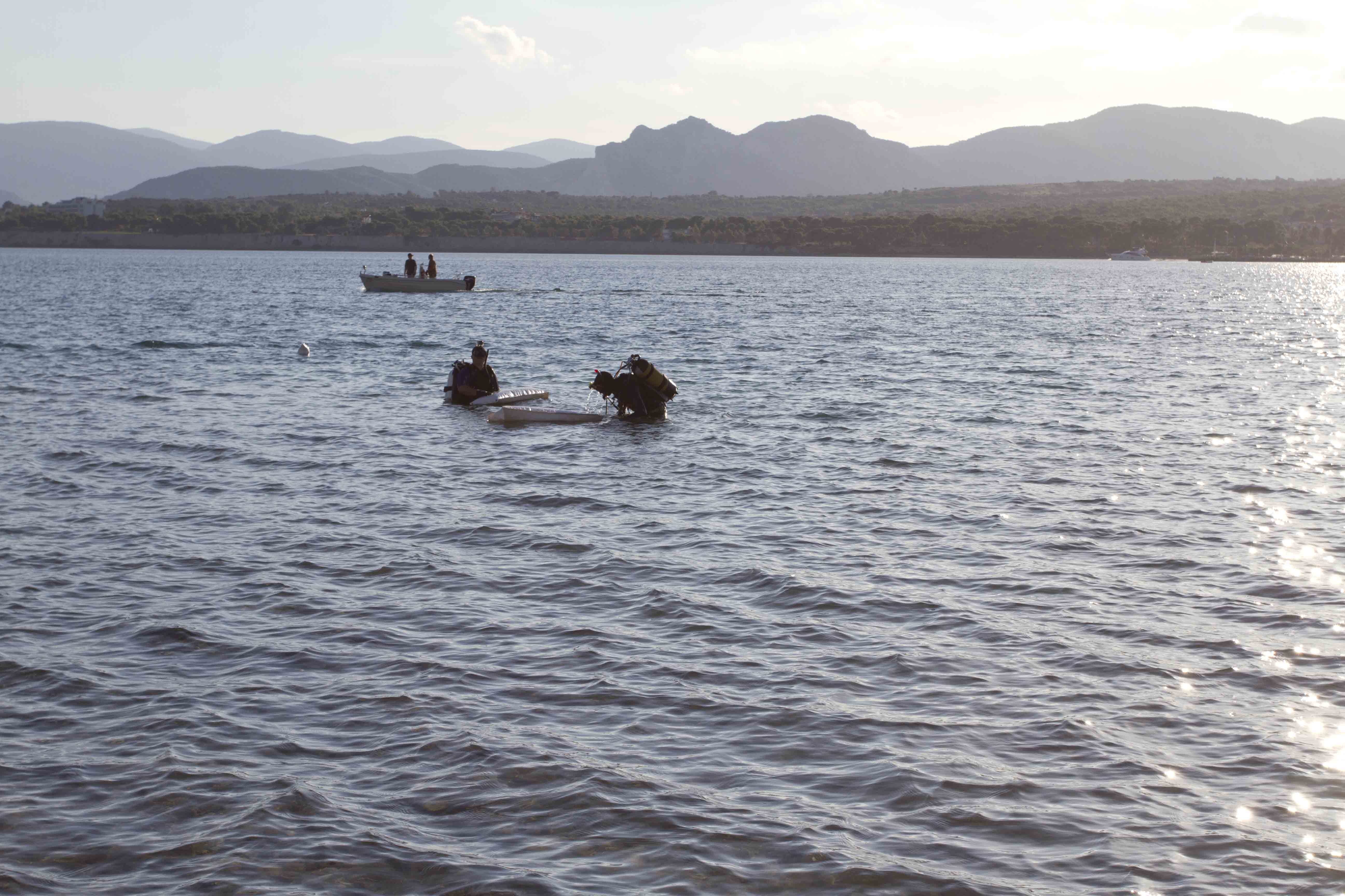
Smooth (wavelets) for waves 0.1 - 0.5 meter high
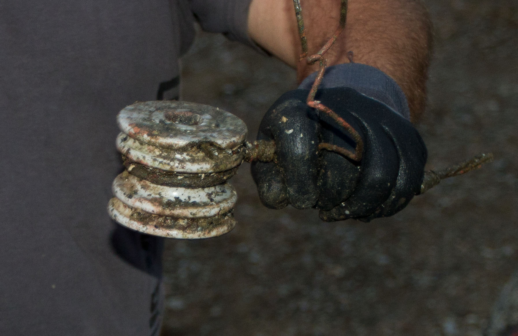
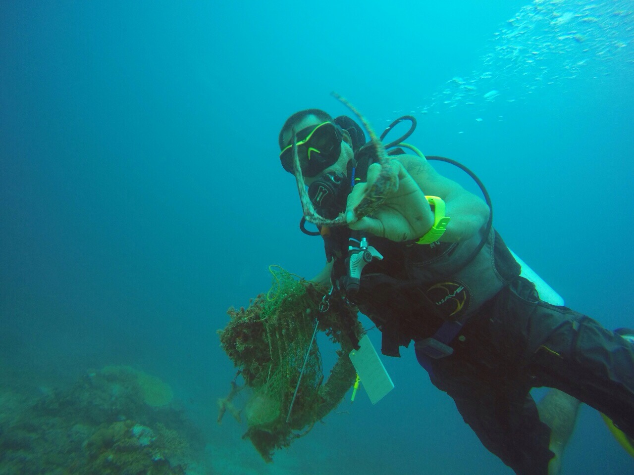
Crab / Tires
Crab
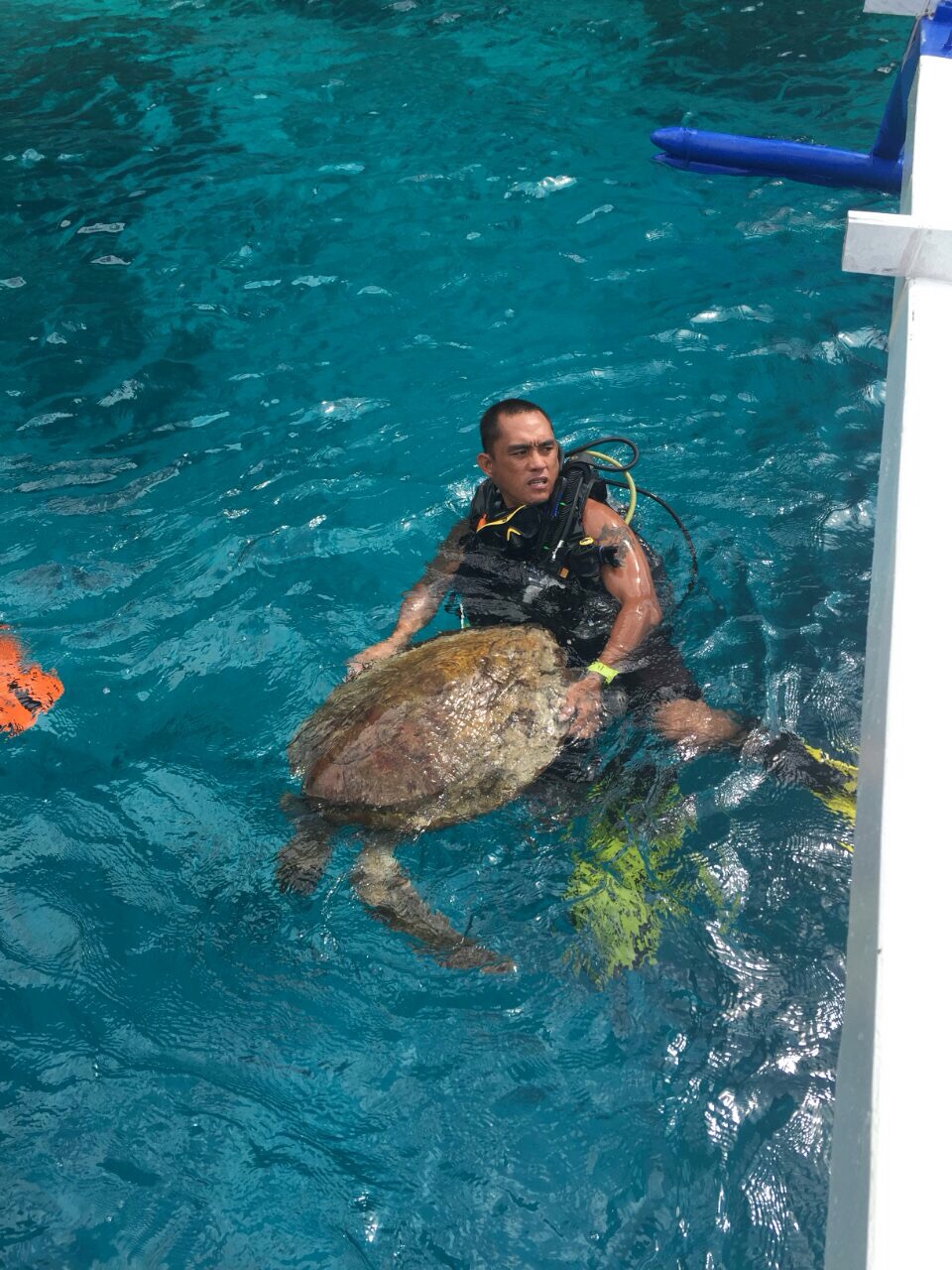
Released Unharmed
278
Released Unharmed
m2

meters
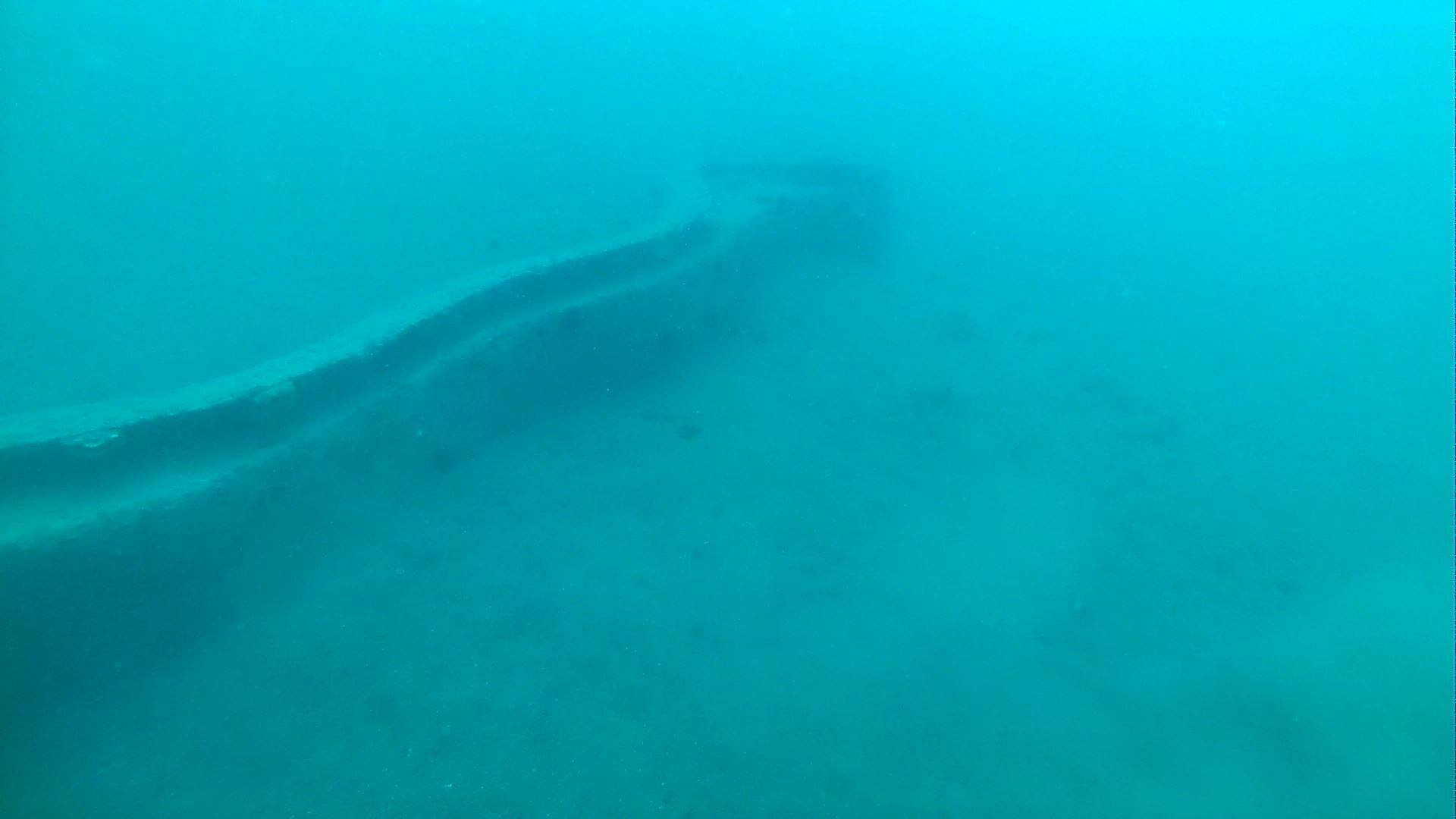
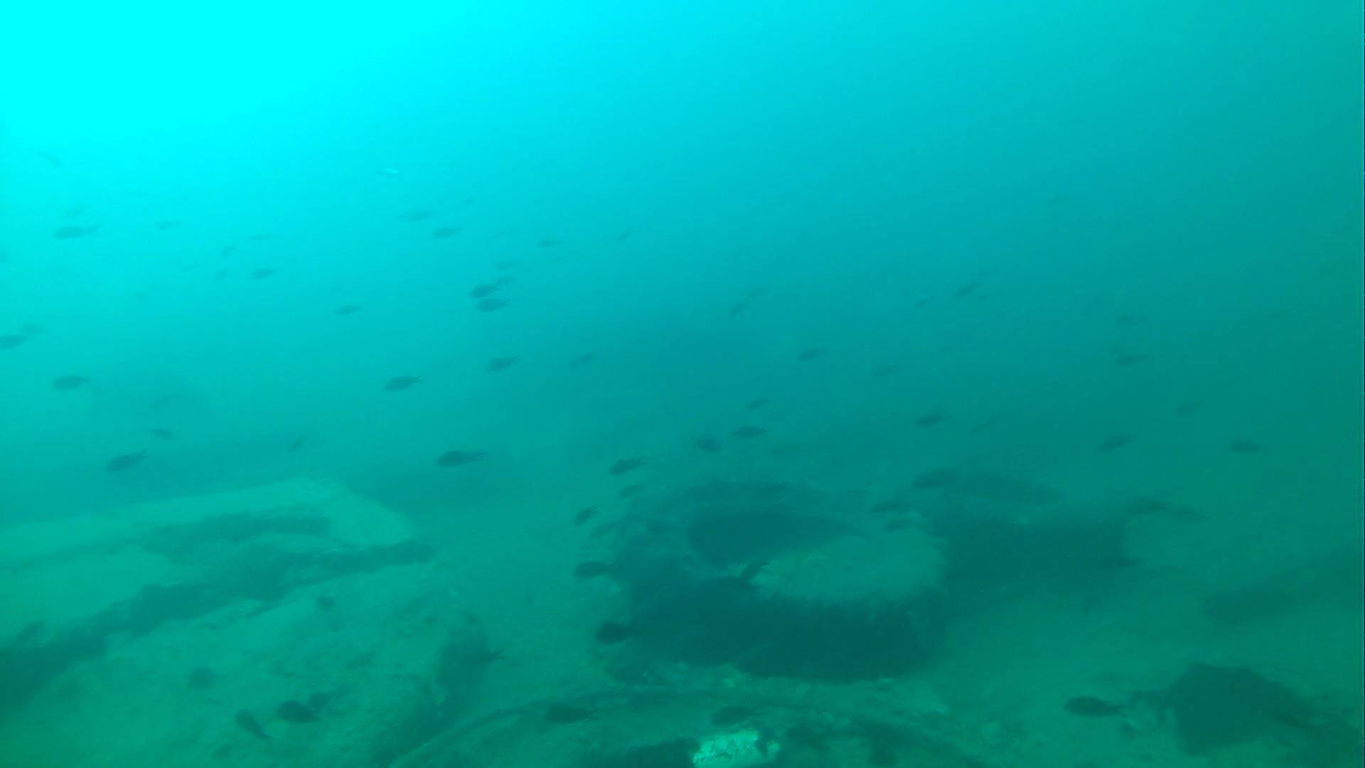
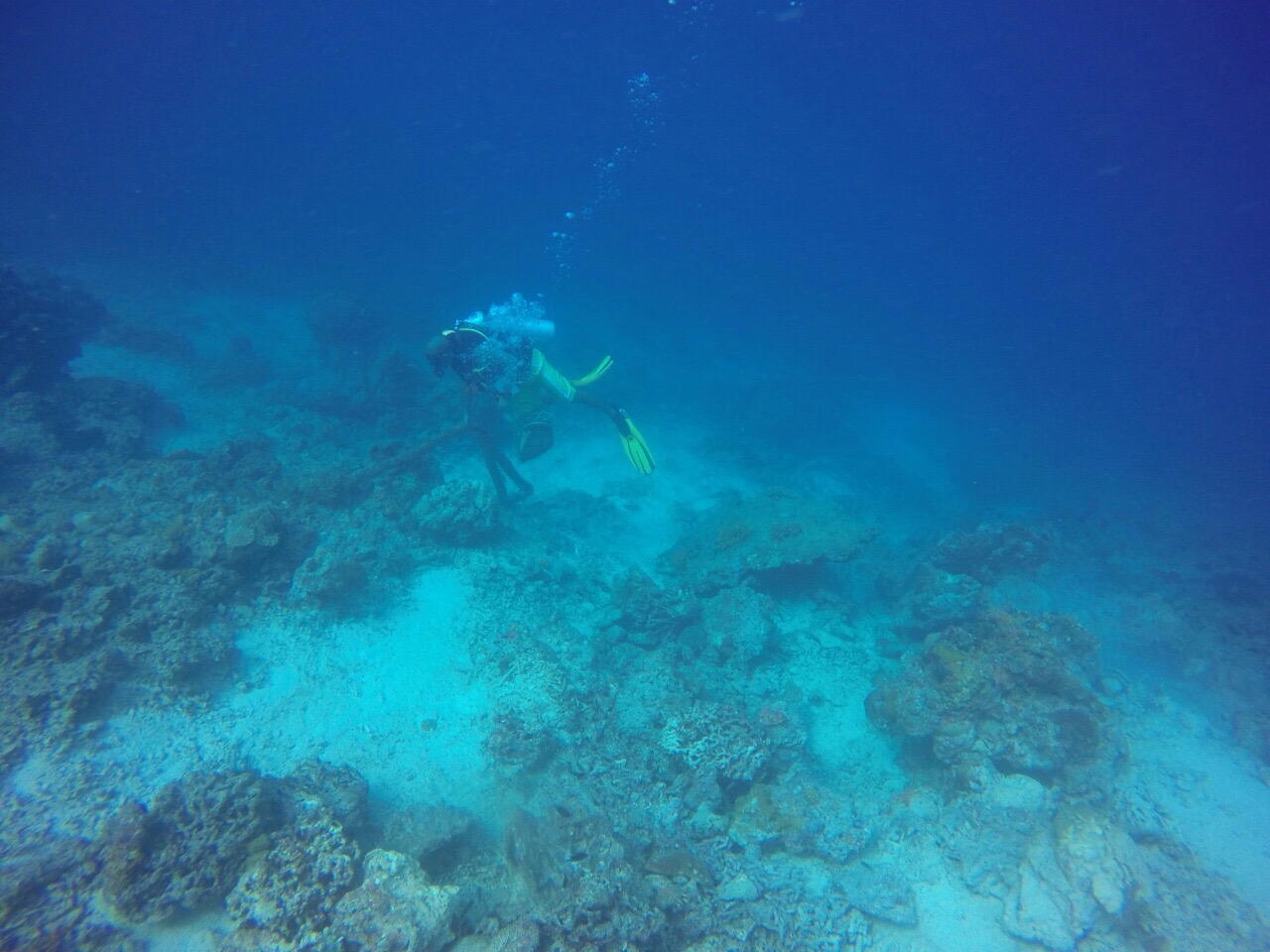
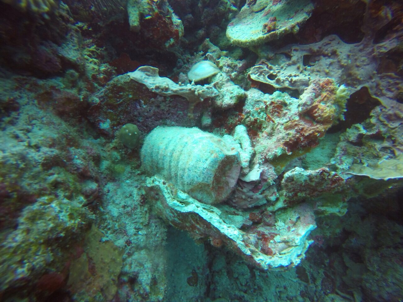
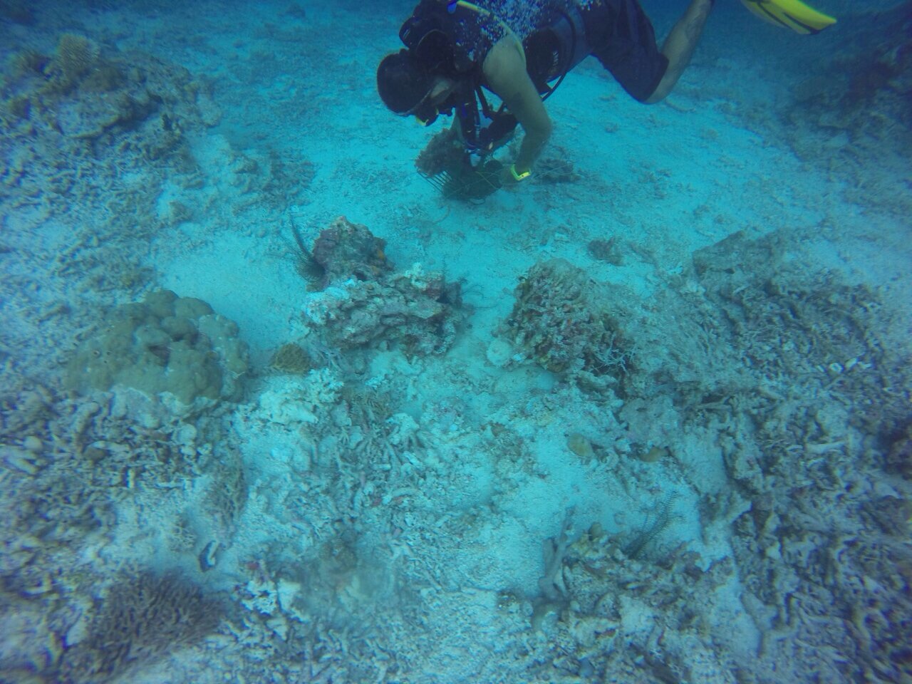
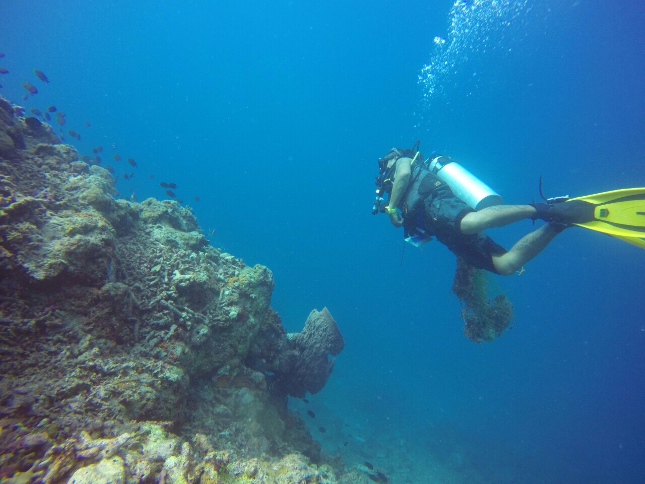
coral reef
State\Province
San Andres
City
San Andres, Isla
Map Help
Dive Location
If you know your survey site coordinates, enter them manually in decimal degrees using WGS84 Map Datum. Use the minus sign for latitudes south of the equator and longitudes west of the Prime Meridian to 180 degrees.
If you do not know your survey site coordinates, click the “Map Location” tab to use the map to zoom into your survey site and drop the pin on the map to fall within your survey dive site in the water (not on land or the beach). Ensure you zoom in as much as possible to ensure data accuracy.
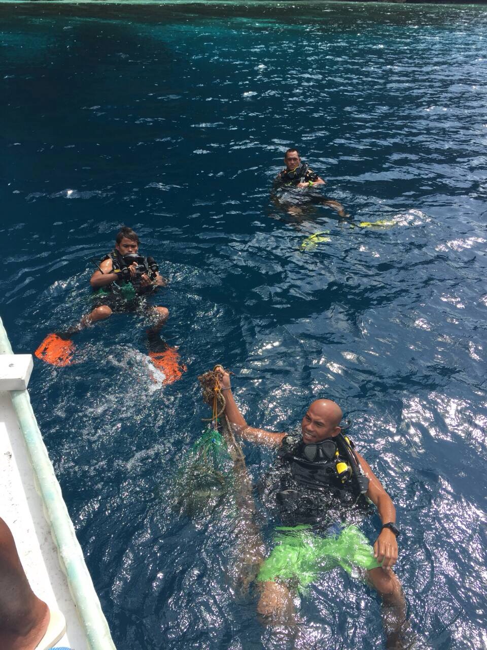
Entangled Help