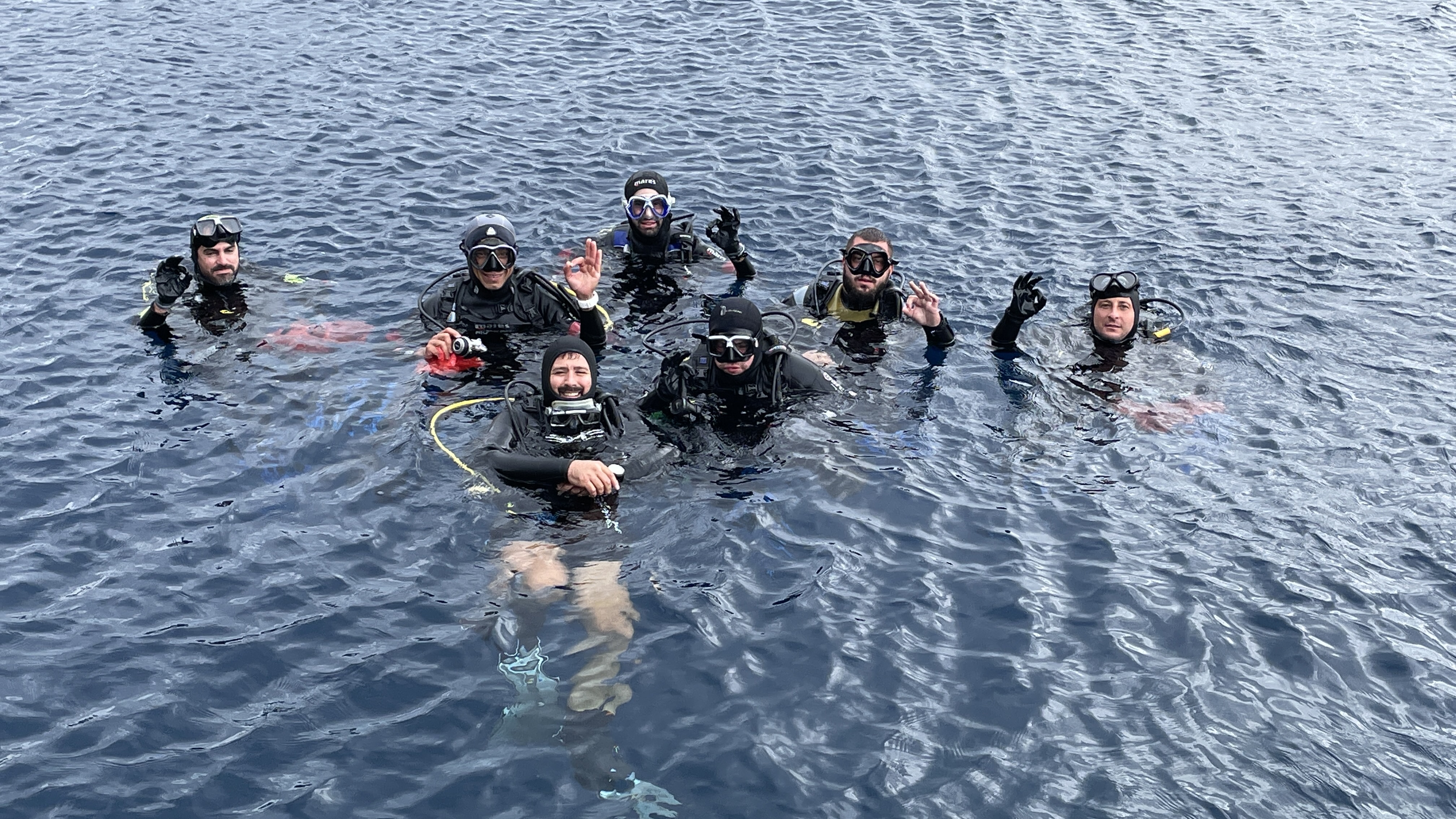
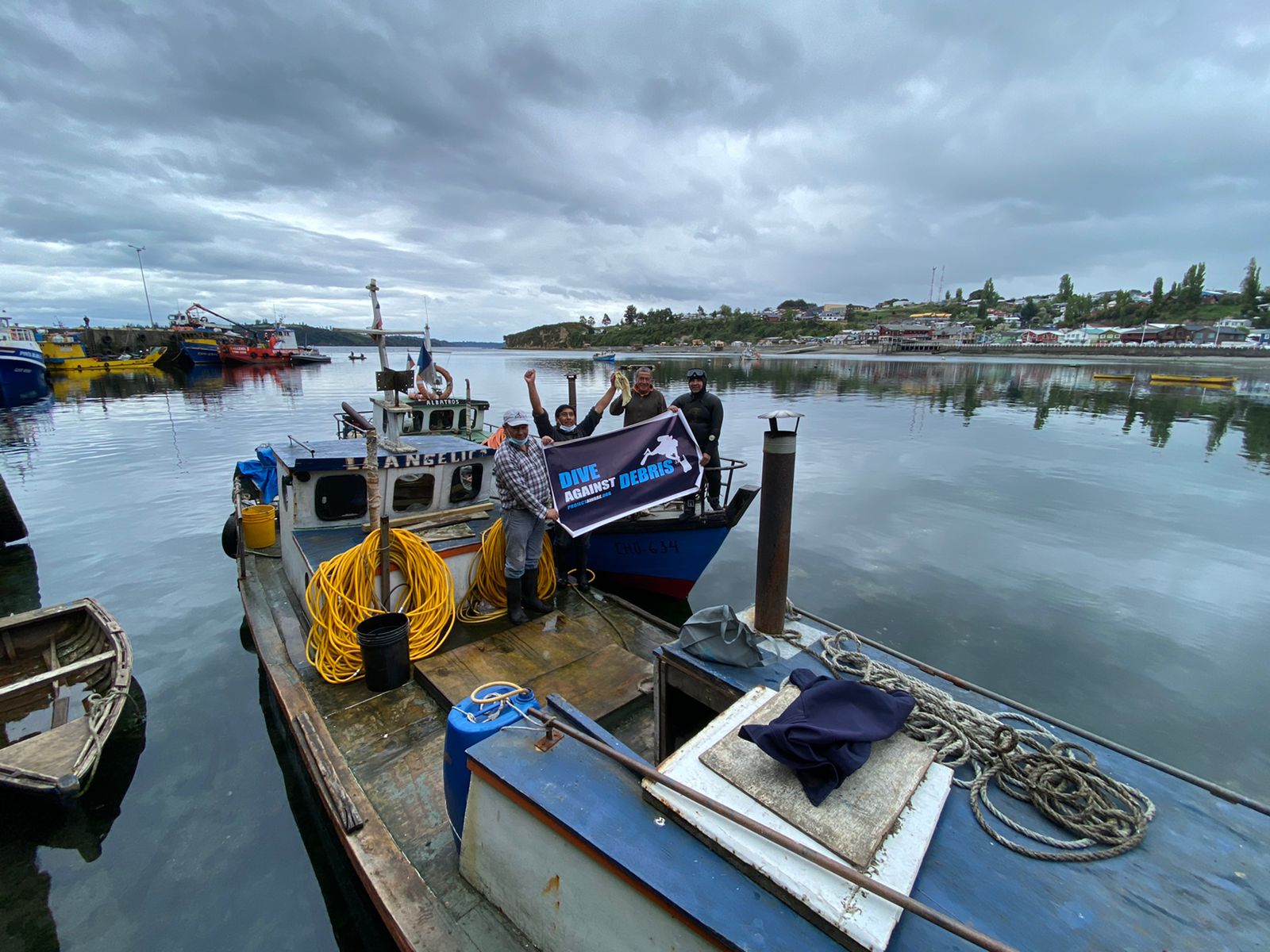
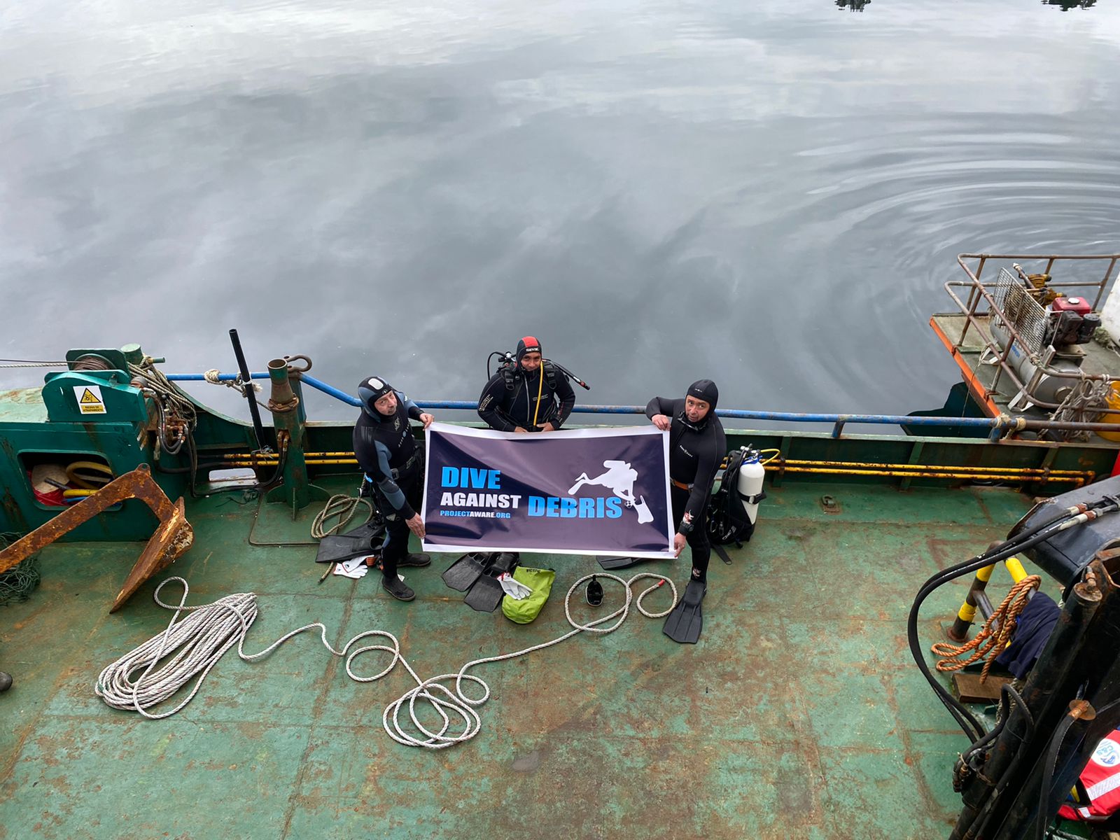
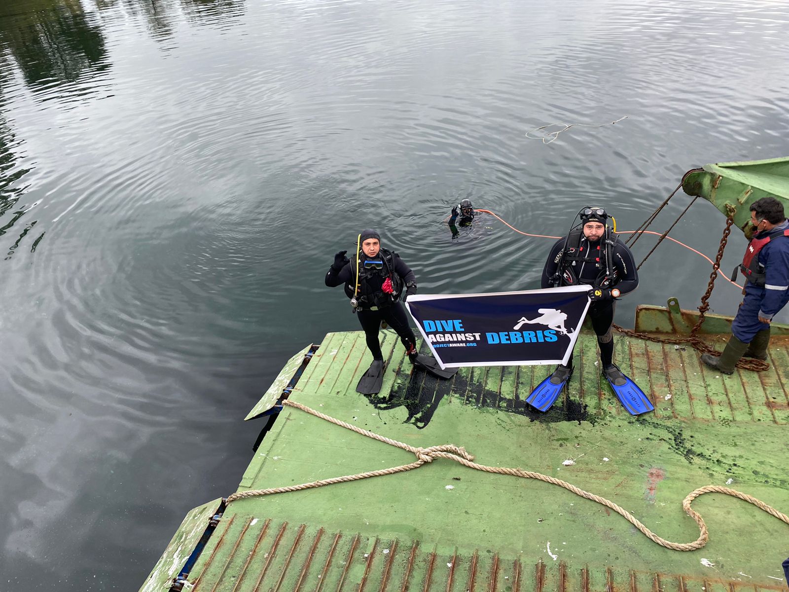
Day.25 Jeju Island
1
1
coral
33.236673985944, 126.51623367031
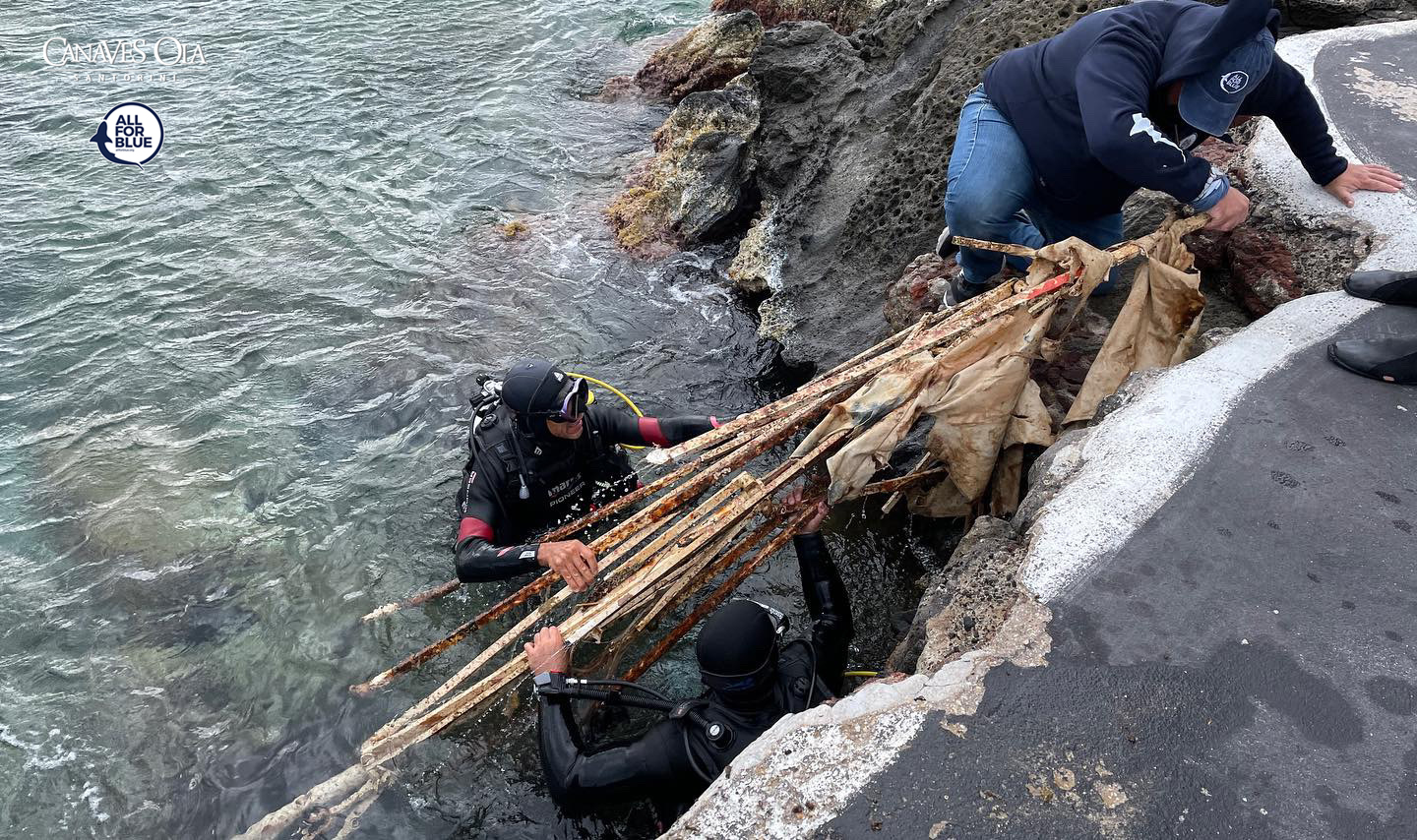
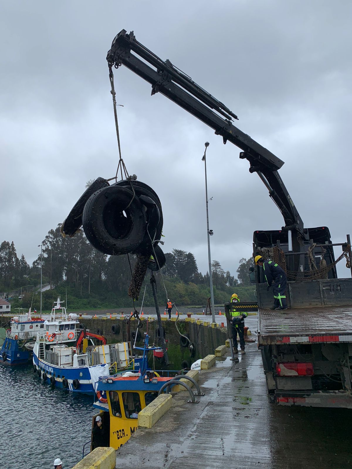
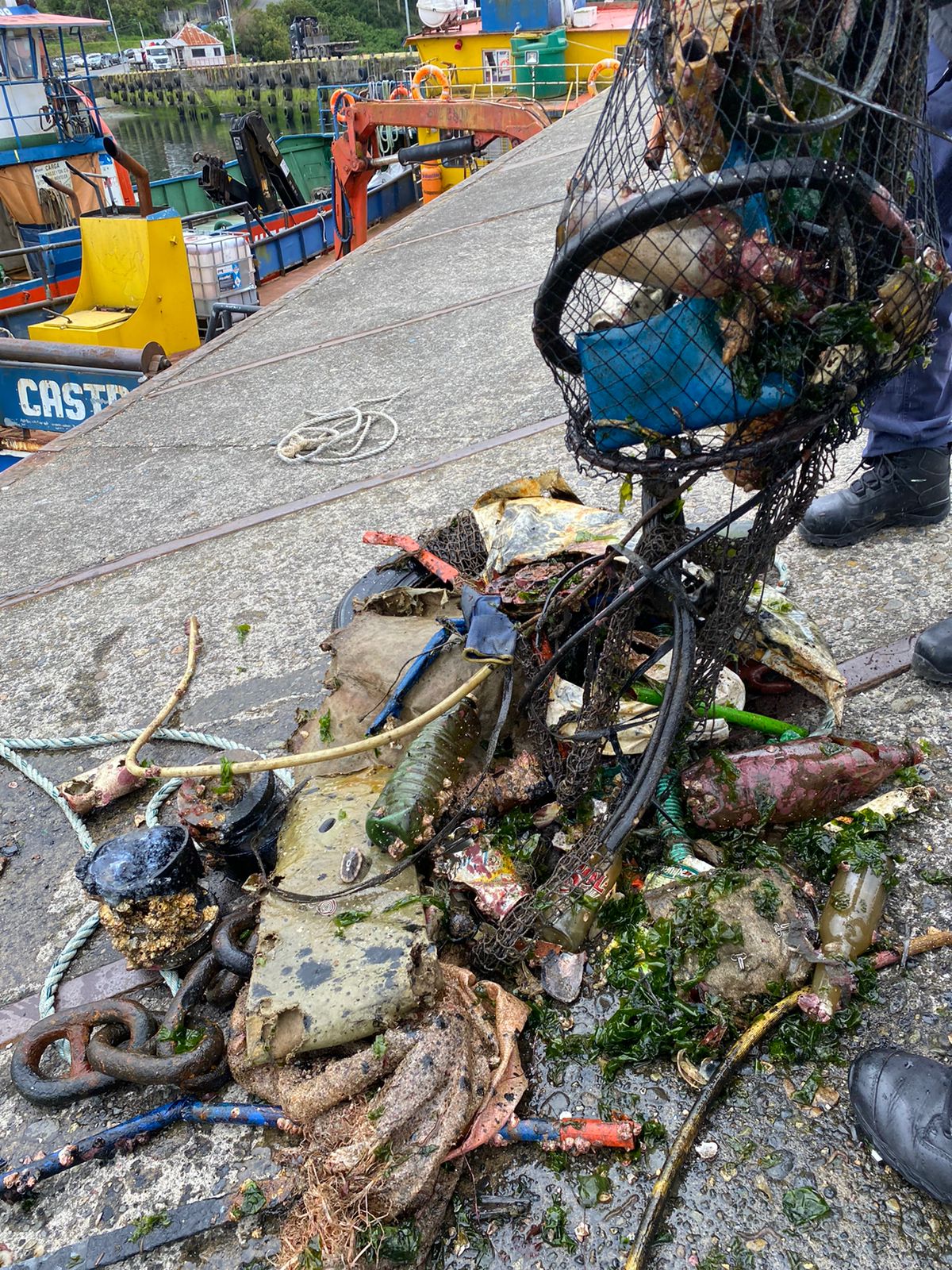
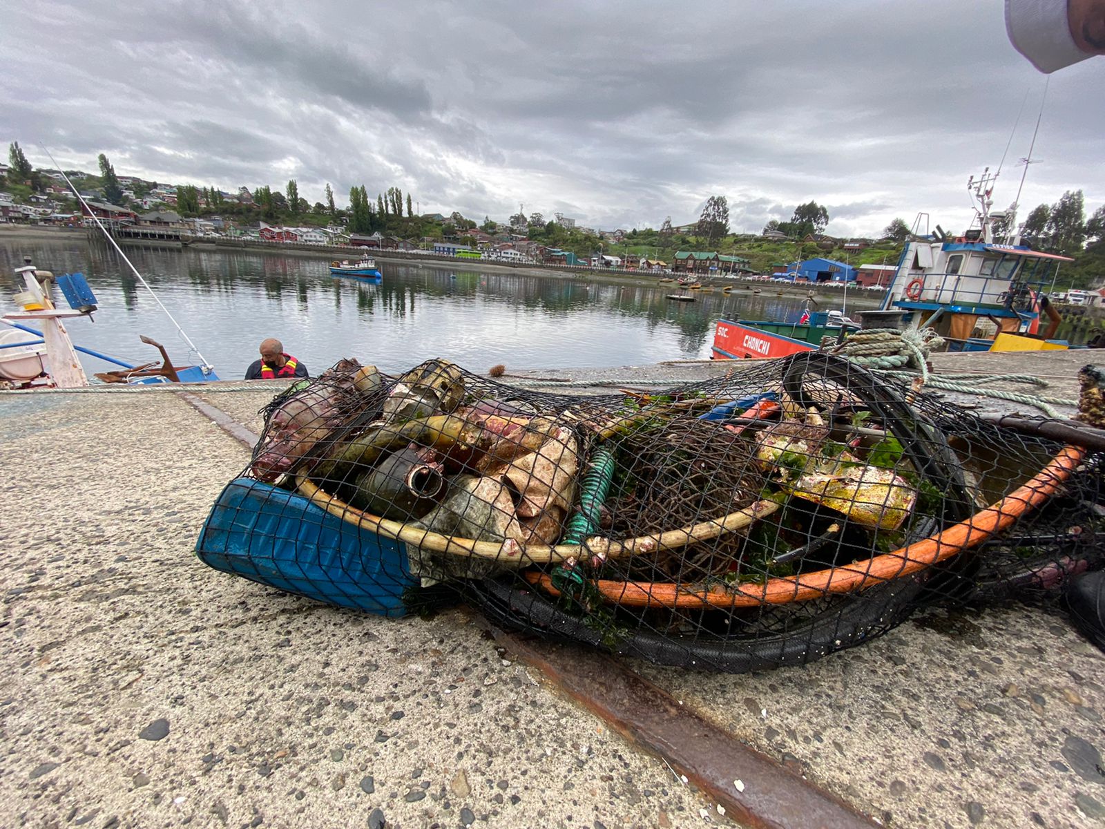
I found metal fragment in the ocean.
The sea was relatively clean. But there was rusty iron, so I put it away.
Metal fragment
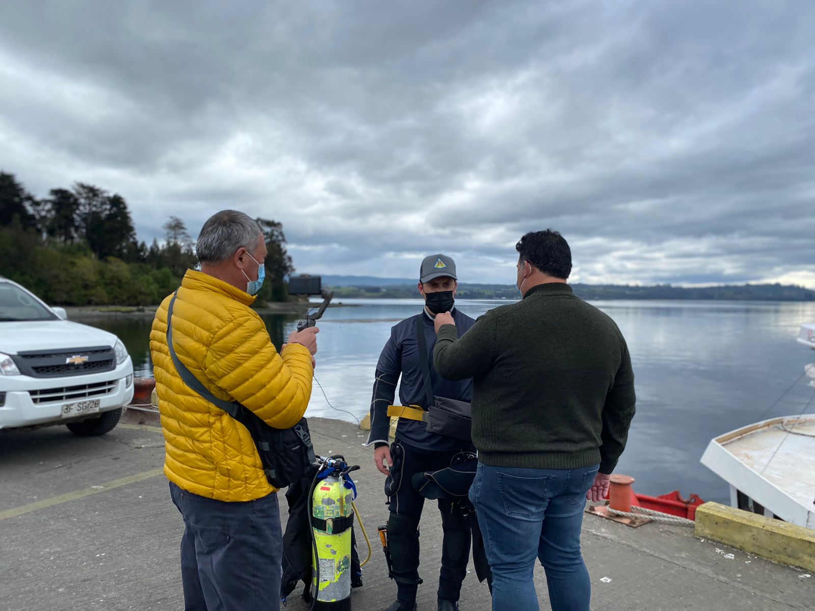
Cloudy
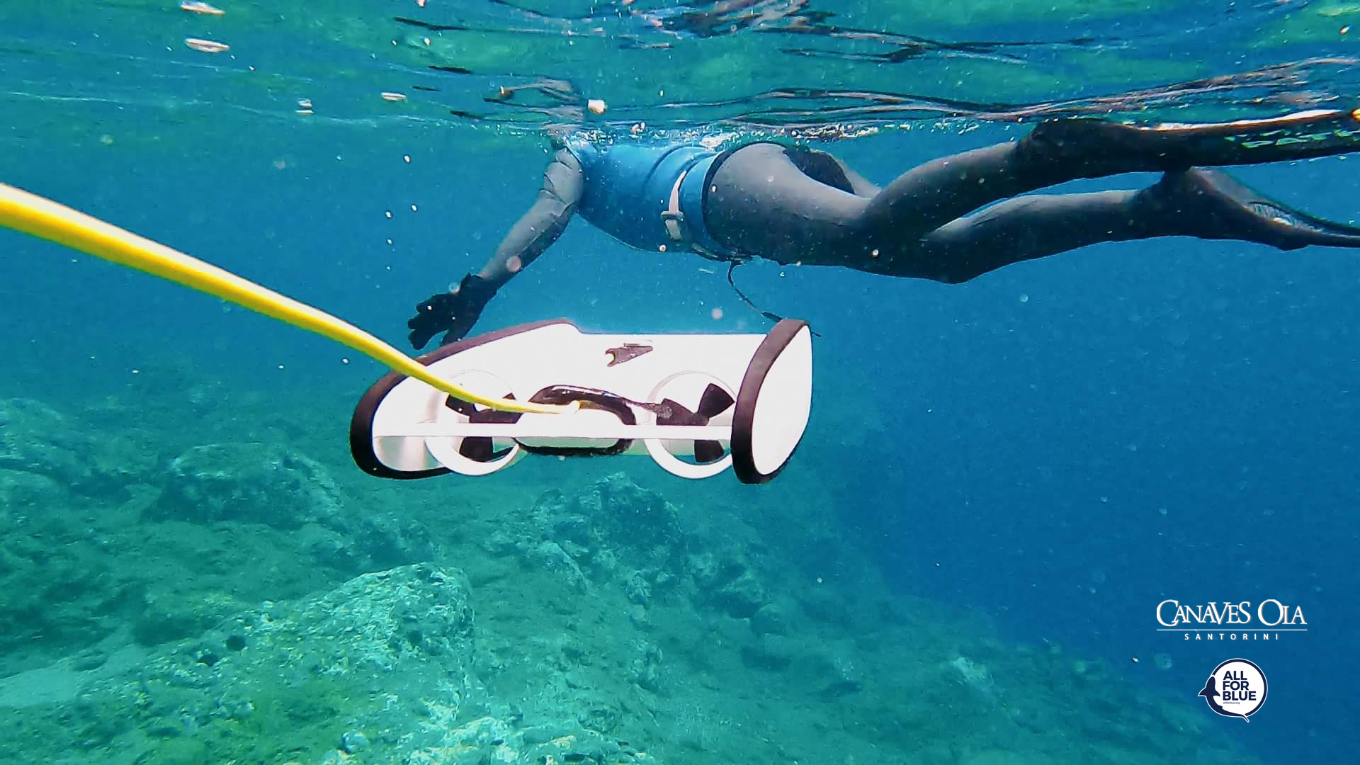
Time Space Dive
Hyungseok Kim
6
1.00
40
20.00
5.00
estimated
1870.16
Metal fragment
Net
Plasic fragment
On
kilograms
Our Survey Site was free of debris
Calm (glassy to rippled) for waves 0 – 0.1 meter high
m2


meters
rocky reef
1
State\Province
Jeju
City
Seogwipo
Map Help
Dive Location
If you know your survey site coordinates, enter them manually in decimal degrees using WGS84 Map Datum. Use the minus sign for latitudes south of the equator and longitudes west of the Prime Meridian to 180 degrees.
If you do not know your survey site coordinates, click the “Map Location” tab to use the map to zoom into your survey site and drop the pin on the map to fall within your survey dive site in the water (not on land or the beach). Ensure you zoom in as much as possible to ensure data accuracy.
Entangled Help