Menu

ADS132 - Eagle Ray Alley

0
0
0
0

25.009762, -80.373971

0
0
0
sand
0
0
0
0
0
Boating
Rainbow Reef Dive Center/FKNMS
David St
0
0
0
0
0
0
0
0
0
0
0
0
0
0
0
0
0
0
0
1
0
0
0
0
0
0
0
0
0
0
0
0
0
0
0
0
1.00
45
30.00
20.00
0
estimated
0
0
0
0
28324.20
0
0
0
0
0
0
On
pounds
0
I have debris data to report
0
0
0
Calm (glassy to rippled) for waves 0 – 0.1 meter high
0
0
0
0
0
0
0
ft2
0
0
feet
coral reef
0
0
0
0
0
0
0
0
0
0
0
0
0
0
0
0
0
1
0
0
0
0
0
0
0
0
0
0
0
United States
State\Province
Florida
City
Key Largo
Map Help


Dive Location

If you know your survey site coordinates, enter them manually in decimal degrees using WGS84 Map Datum. Use the minus sign for latitudes south of the equator and longitudes west of the Prime Meridian to 180 degrees.

If you do not know your survey site coordinates, click the “Map Location” tab to use the map to zoom into your survey site and drop the pin on the map to fall within your survey dive site in the water (not on land or the beach). Ensure you zoom in as much as possible to ensure data accuracy.

Entangled Help


Use the vertical tabs below to record any entangled animals you found of each type.

Grecian Rocks

0
0
0
0

25.126412, -80.295624

0
0
0
sand
0
0
0
0
0
Lobstering
Rainbow Reef Dive Center/FKNMS
Scott
0
0
0
0
0
0
0
0
0
0
0
0
0
0
0
0
0
0
0
1
0
0
0
0
0
0
0
0
0
0
0
0
0
0
0
0
10.00
45
20.00
10.00
0
estimated
0
0
0
0
45313.00
0
0
0
0
0
0
On
pounds
0
I have debris data to report
0
0
0
Calm (glassy to rippled) for waves 0 – 0.1 meter high
0
0
0
0
0
0
0
ft2
3
0
feet
coral reef
0
0
0
0
0
0
0
0
0
0
0
0
0
0
0
0
0
0
0
0
0
0
0
0
0
0
0
0
0
United States
State\Province
Florida
City
Key Largo
Map Help


Dive Location

If you know your survey site coordinates, enter them manually in decimal degrees using WGS84 Map Datum. Use the minus sign for latitudes south of the equator and longitudes west of the Prime Meridian to 180 degrees.

If you do not know your survey site coordinates, click the “Map Location” tab to use the map to zoom into your survey site and drop the pin on the map to fall within your survey dive site in the water (not on land or the beach). Ensure you zoom in as much as possible to ensure data accuracy.
Entangled Help


Use the vertical tabs below to record any entangled animals you found of each type.

ADS61 - The Christ Statue

0
0
0
0

25.1241666, -80.29666667

0
0
0
sand
0
0
0
0
0
Boating
Rainbow Reef Dive Center/FKNMS
Lauren N
0
0
0
0
0
0
0
0
0
0
0
0
0
0
0
0
0
0
0
1
0
0
0
0
0
0
0
0
0
0
0
1
0
0
0
0
3.00
45
20.00
10.00
0
estimated
0
0
0
0
29443.60
0
0
0
0
0
0
On
pounds
0
I have debris data to report
0
1
0
Calm (glassy to rippled) for waves 0 – 0.1 meter high
0
0
0
0
0
0
0
ft2
1
0
feet
coral reef
0
0
0
0
0
0
0
0
0
0
0
0
0
0
0
0
0
0
0
0
0
0
0
0
0
0
0
0
0
United States
State\Province
Florida
City
Key Largo
Map Help


Dive Location

If you know your survey site coordinates, enter them manually in decimal degrees using WGS84 Map Datum. Use the minus sign for latitudes south of the equator and longitudes west of the Prime Meridian to 180 degrees.

If you do not know your survey site coordinates, click the “Map Location” tab to use the map to zoom into your survey site and drop the pin on the map to fall within your survey dive site in the water (not on land or the beach). Ensure you zoom in as much as possible to ensure data accuracy.
Entangled Help


Use the vertical tabs below to record any entangled animals you found of each type.

ADS645 - Main Beach

19
87
0

30.814499203491, -95.605640111239

0
0
0
silt
0
20
0
0
0
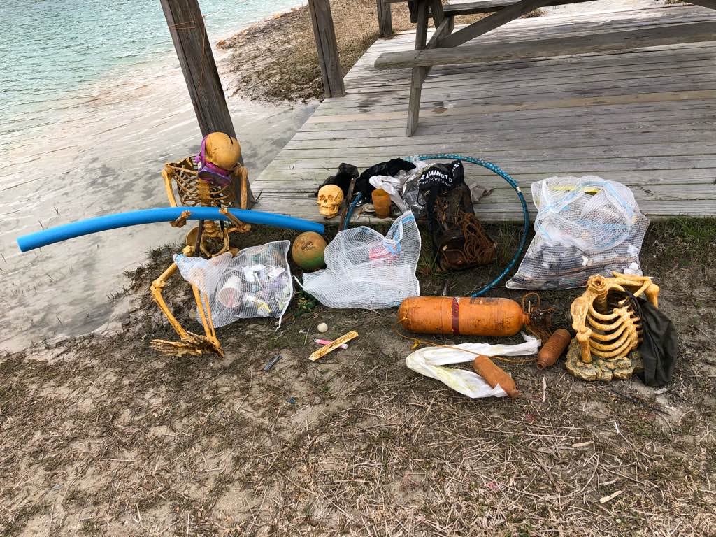
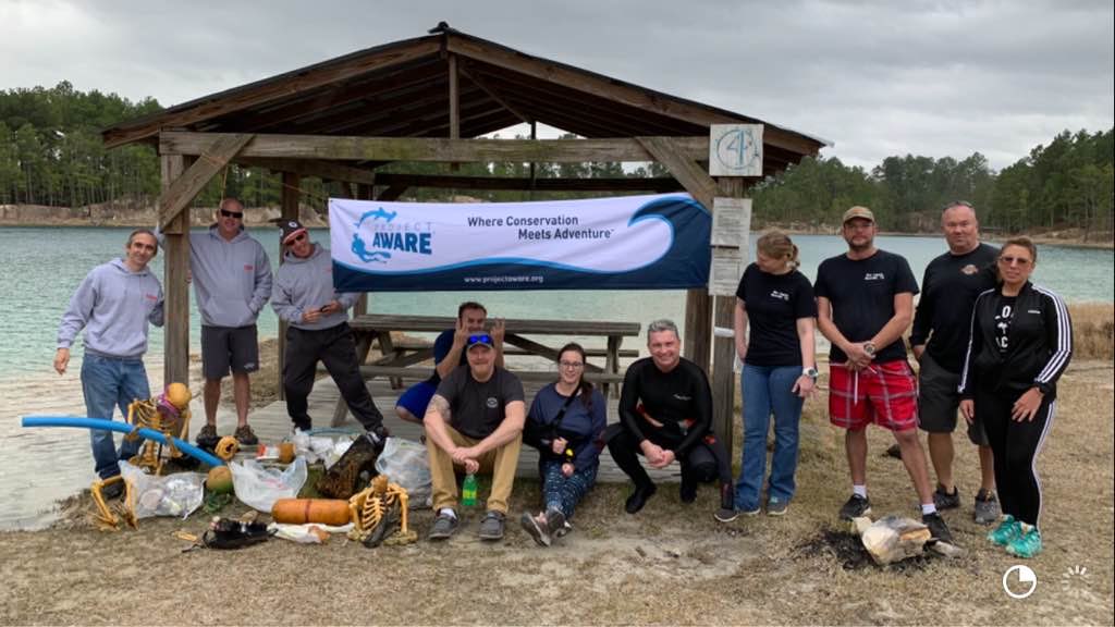
We will keep it clean !
Picnics
We found more than expected !
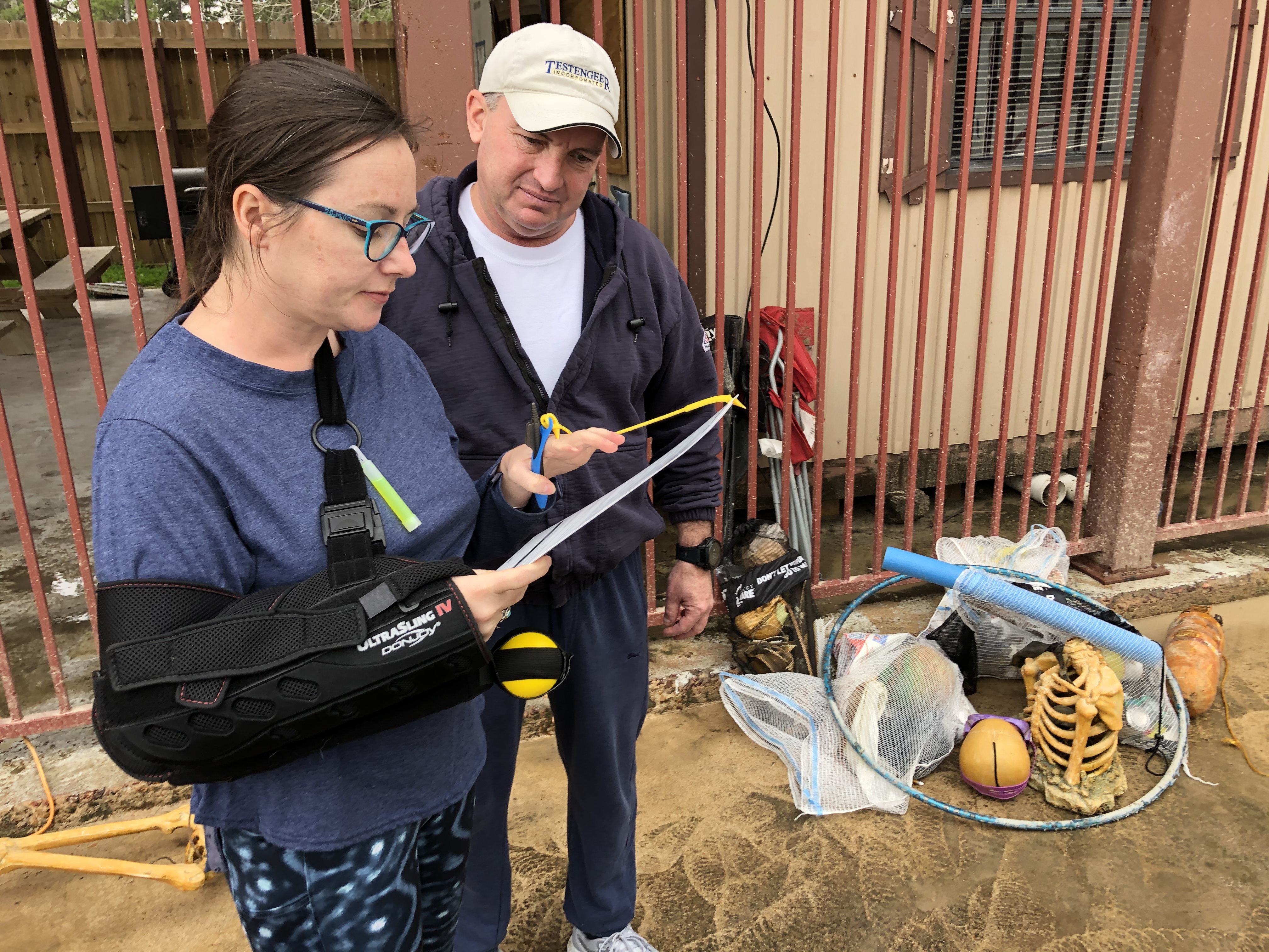
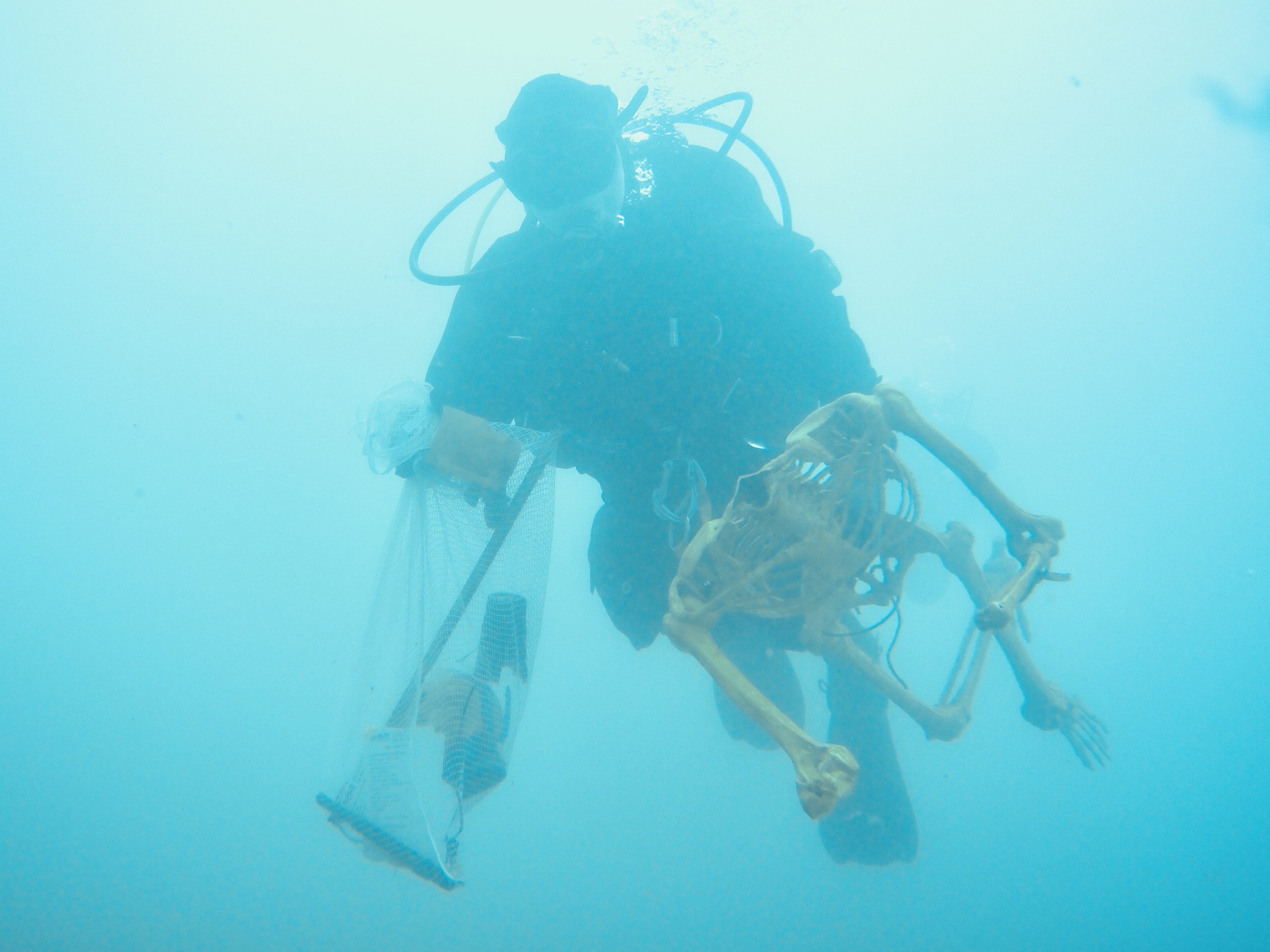
Plastic skeleton
Cloudy windy cold
0
0
0
0
0
0
0
0
0
0
0
0
0
0
0
0
0
0
0
0
Texan Scuba
Brian Avenarius
0
0
0
0
0
16
0
0
0
0
0
0
0
13
0
0
0
36
0
8
3
0
1
4
1
0
11
0
0
0
1
0
0
0
65.41
35
30.00
6.00
8
measured
0
0
5352.94
0
0
0
0
0
Plastic pieces
Containers bags
Plastic bottles
0
On
pounds
0
I have debris data to report
2
3
0
Smooth (wavelets) for waves 0.1 - 0.5 meter high
9
0
0
5
12
0
0
ft2
0
0
feet
other
0
0
0
0
0
0
0
0
0
0
0
0
15
0
0
3
11
0
0
0
0
0
0
0
0
0
0
0
United States
State\Province
Texas
City
Huntsville
Map Help


Dive Location

If you know your survey site coordinates, enter them manually in decimal degrees using WGS84 Map Datum. Use the minus sign for latitudes south of the equator and longitudes west of the Prime Meridian to 180 degrees.

If you do not know your survey site coordinates, click the “Map Location” tab to use the map to zoom into your survey site and drop the pin on the map to fall within your survey dive site in the water (not on land or the beach). Ensure you zoom in as much as possible to ensure data accuracy.
Entangled Help


Use the vertical tabs below to record any entangled animals you found of each type.

Piscina Natural da Pajuçara - Maceió

0
7
1

-9.6734064240181, -35.709776898996

sand
2
1
Sun
Let's Dive
Luis Miguel Filipe
2
1
1
1
14
1
2
1
25.00
90
3.50
1.00
1
estimated
10000.00
1
Plastic
Abandoned fishing nets and lines
On
kilograms
I have debris data to report
7
Calm (glassy to rippled) for waves 0 – 0.1 meter high
4
2
m2
3
meters
rocky reef
7
1
1
1
1
1
1
Brazil
State\Province
Alagoas
City
Maceió
Map Help


Dive Location

If you know your survey site coordinates, enter them manually in decimal degrees using WGS84 Map Datum. Use the minus sign for latitudes south of the equator and longitudes west of the Prime Meridian to 180 degrees.

If you do not know your survey site coordinates, click the “Map Location” tab to use the map to zoom into your survey site and drop the pin on the map to fall within your survey dive site in the water (not on land or the beach). Ensure you zoom in as much as possible to ensure data accuracy.
Entangled Help


Use the vertical tabs below to record any entangled animals you found of each type.

Marsa Nakari House Reef

0
0
0

26.629753, 30.761726

0
0
0
coral
0
0
0
0
0
Nice bay with easy entrance
Yes
Was very happy after the event
Plastic bags
Windy
0
0
0
0
0
0
0
0
0
0
0
0
0
0
0
0
0
0
0
0
Marsa Nakari Divers
Hossam Abdelaziz
0
0
0
0
0
0
0
0
0
0
0
0
0
0
0
0
0
0
0
12
0
0
0
0
0
0
0
0
0
0
0
0
0
0
0.00
60
20.00
18.00
0
estimated
0
0
200.00
0
0
0
0
0
Plastic bags
Plastic cups
Many other things
0
On
kilograms
0
Our Survey Site was free of debris
0
0
0
Moderate to rough for waves greater than 1.25 meters
0
0
0
Nothing
4
Jack Fish
0
0
0
0
m2
0
0
meters
coral reef
0
0
0
0
0
0
0
0
0
0
0
0
0
0
0
0
0
0
0
0
0
0
0
0
0
0
0
0
Egypt
State\Province
Red Sea
City
Marsa Alam
Map Help


Dive Location

If you know your survey site coordinates, enter them manually in decimal degrees using WGS84 Map Datum. Use the minus sign for latitudes south of the equator and longitudes west of the Prime Meridian to 180 degrees.

If you do not know your survey site coordinates, click the “Map Location” tab to use the map to zoom into your survey site and drop the pin on the map to fall within your survey dive site in the water (not on land or the beach). Ensure you zoom in as much as possible to ensure data accuracy.
Entangled Help


Use the vertical tabs below to record any entangled animals you found of each type.

St. Paul's Bay - Harbour

0
2
0
0

35.950619, 14.40855

0
0
0
rock
0
6
0
0
1
4 Bft W
Alessio Tenenti
0
0
0
1
0
0
0
0
0
0
0
0
0
0
0
0
0
1
1
1
0
0
0
0
0
0
1
0
2
0
0
0
0
0
0
0
2.00
40
3.00
1.00
2
estimated
0
0
0
0
926.18
0
0
0
0
0
0
On
kilograms
0
I have debris data to report
0
0
0
Calm (glassy to rippled) for waves 0 – 0.1 meter high
0
0
0
0
0
0
0
m2
0
0
meters
rocky reef
0
0
0
0
0
0
0
0
0
0
0
0
0
0
0
0
0
0
0
0
0
0
0
0
0
0
0
0
0
Malta
City
St. Paul's Bay
Map Help


Dive Location

If you know your survey site coordinates, enter them manually in decimal degrees using WGS84 Map Datum. Use the minus sign for latitudes south of the equator and longitudes west of the Prime Meridian to 180 degrees.

If you do not know your survey site coordinates, click the “Map Location” tab to use the map to zoom into your survey site and drop the pin on the map to fall within your survey dive site in the water (not on land or the beach). Ensure you zoom in as much as possible to ensure data accuracy.
Entangled Help


Use the vertical tabs below to record any entangled animals you found of each type.

ADS607 - Lake Perris

0
0
0
0

33.861913, -117.190116

0
0
0
silt
0
1
0
0
0
Campers
Bottle
60 F
Cindy Sieman/ Get Wet Scuba
Cindy
0
0
0
1
0
0
0
0
0
0
0
0
0
0
0
0
0
5
0
5
1
0
0
0
0
0
1
0
0
1
0
0
0
0
0
0
0.40
30
24.00
5.00
0
estimated
0
0
0
0
2814.78
0
0
0
0
0
Plastic
0
On
pounds
0
I have debris data to report
2
0
0
Smooth (wavelets) for waves 0.1 - 0.5 meter high
0
0
0
0
0
0
0
m2
0
0
feet
other
0
0
0
0
0
0
0
0
0
0
0
0
0
0
0
0
0
0
0
0
0
0
0
0
0
0
0
0
0
United States
State\Province
California
City
Perris
Map Help


Dive Location

If you know your survey site coordinates, enter them manually in decimal degrees using WGS84 Map Datum. Use the minus sign for latitudes south of the equator and longitudes west of the Prime Meridian to 180 degrees.

If you do not know your survey site coordinates, click the “Map Location” tab to use the map to zoom into your survey site and drop the pin on the map to fall within your survey dive site in the water (not on land or the beach). Ensure you zoom in as much as possible to ensure data accuracy.
Entangled Help


Use the vertical tabs below to record any entangled animals you found of each type.

ADS607 - Lake Perris

0
0
0
0

33.861913, -117.190116

0
0
0
silt
0
0
0
0
0
Campers
Red solo cup
Calm 60 f
Cindy Sieman/ Get Wet Scuba
Cindy
0
0
0
1
0
0
0
0
0
0
0
0
0
0
0
0
0
2
0
7
0
0
0
0
0
0
1
0
0
0
0
0
0
0
0
0
0.30
23
22.00
7.00
0
estimated
0
0
0
0
1909.74
0
0
0
0
0
Plastic
2
On
pounds
0
I have debris data to report
0
0
0
Smooth (wavelets) for waves 0.1 - 0.5 meter high
0
0
0
0
1
0
0
m2
0
0
feet
other
0
0
0
0
0
0
0
0
0
0
0
0
0
0
0
0
0
0
0
0
0
0
0
0
0
0
0
0
0
United States
State\Province
California
City
Perris
Map Help


Dive Location

If you know your survey site coordinates, enter them manually in decimal degrees using WGS84 Map Datum. Use the minus sign for latitudes south of the equator and longitudes west of the Prime Meridian to 180 degrees.

If you do not know your survey site coordinates, click the “Map Location” tab to use the map to zoom into your survey site and drop the pin on the map to fall within your survey dive site in the water (not on land or the beach). Ensure you zoom in as much as possible to ensure data accuracy.
Entangled Help


Use the vertical tabs below to record any entangled animals you found of each type.

Tigertail Lake

26.076477, -80.252113

3
2
silt
3
3
5
Local School Classes and Event Parties
Trash picked up on beach 2x 13 Gal size bags
Stop Sign
Rain / Wind / Thunder Showers
10
1
Sunglasses
Plexi-glass 15" x 18"
Sea Experience
Sally Denton
10
2
30
18
5
4
20.00
50
25.00
5.00
4
estimated
300.00
Pieces of fencing
Glass window from facility boat
Bobwire
On
pounds
I have debris data to report
2
Calm (glassy to rippled) for waves 0 – 0.1 meter high
2
2
ft2
6
1
feet
other
3
7
United States
State\Province
Florida
City
Davie
Map Help


Dive Location

If you know your survey site coordinates, enter them manually in decimal degrees using WGS84 Map Datum. Use the minus sign for latitudes south of the equator and longitudes west of the Prime Meridian to 180 degrees.

If you do not know your survey site coordinates, click the “Map Location” tab to use the map to zoom into your survey site and drop the pin on the map to fall within your survey dive site in the water (not on land or the beach). Ensure you zoom in as much as possible to ensure data accuracy.
Entangled Help


Use the vertical tabs below to record any entangled animals you found of each type.

Ecosystem Other
Lake
Subscribe to