Long Dong (Dragon Hole)
3
25.11204, 121.9166
6
sand
5
25.1117044, 121.9165418
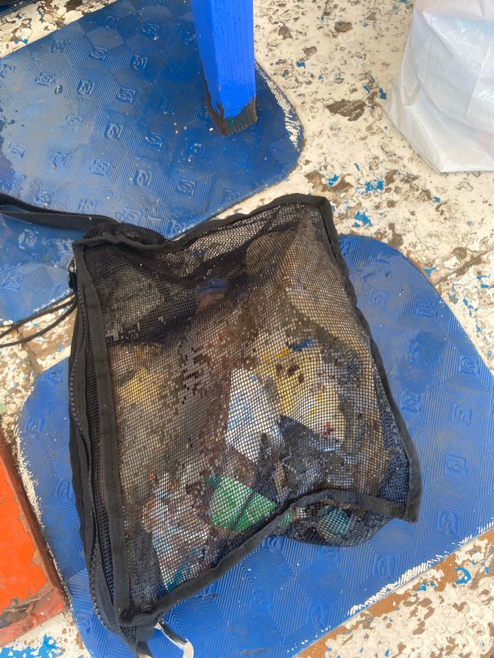
There are gill nets at the site.
We'll keep cleaning this area.
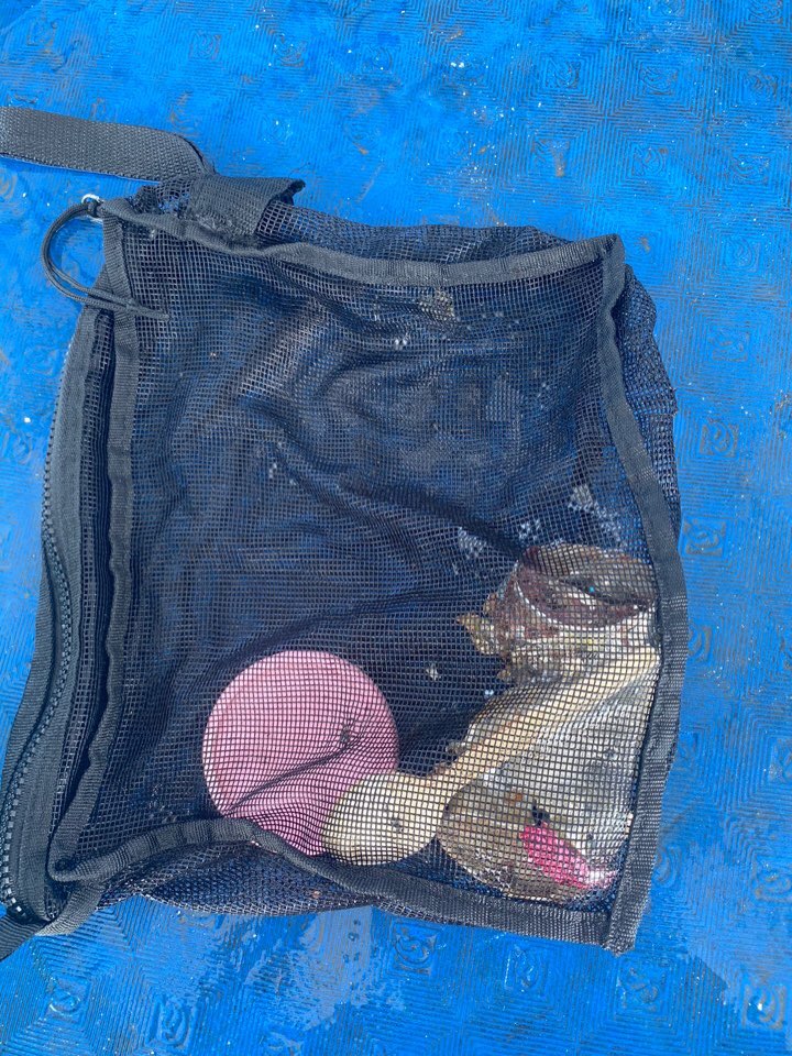
Dead for a long time, only bones are found. Judging from its five vertebral scutes and four coastal scutes, I assume it could be a green sea turtle. Marginal scutes were all lost.
Gill nets. We did not take them up. Too large for 2 divers to carry.
Cloudy, sometimes sunny. Land temperature 21 degrees Celsius, and water temp 18 degrees Celsius.
Zheng-wei Chen
1
1
2
5
12
20.00
70
14.00
5.00
estimated
50.00
gill nets
fishing lines
lures and hooks
On
kilograms
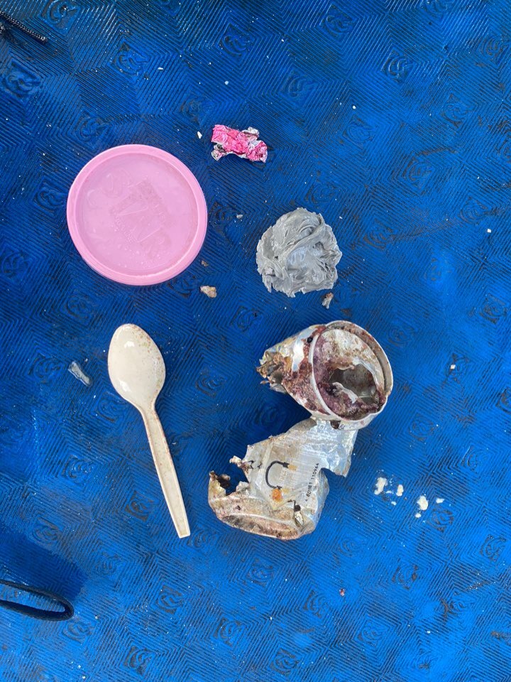
I have debris data to report
Moderate to rough for waves greater than 1.25 meters
m2


meters
coral reef
1
Nets
Dead
Green Sea Turtle
City
New Taipei City
Map Help
Dive Location
If you know your survey site coordinates, enter them manually in decimal degrees using WGS84 Map Datum. Use the minus sign for latitudes south of the equator and longitudes west of the Prime Meridian to 180 degrees.
If you do not know your survey site coordinates, click the “Map Location” tab to use the map to zoom into your survey site and drop the pin on the map to fall within your survey dive site in the water (not on land or the beach). Ensure you zoom in as much as possible to ensure data accuracy.
Entangled Help