
Clifton Gardens
0
6
0
-33.839795, 151.253671
9
0
0
silt
0
0
0
1
0
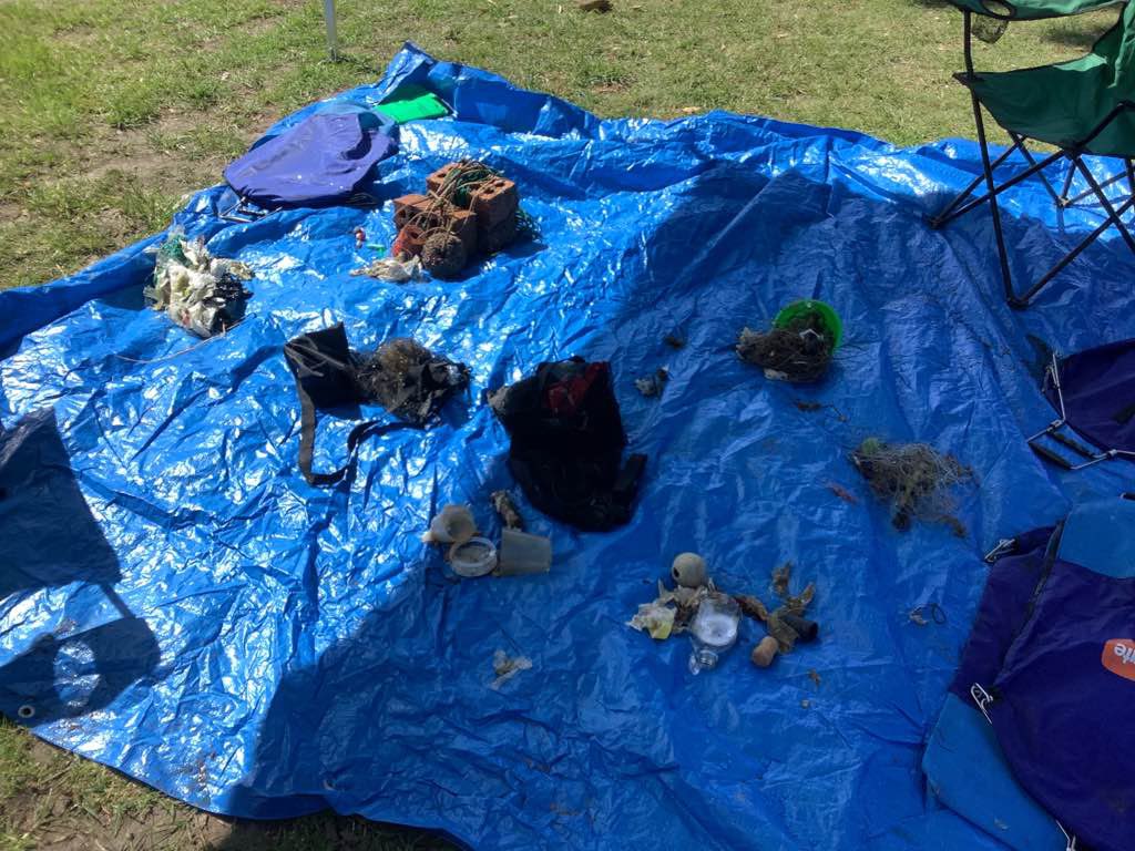
Clean up done with support of Clean Up Australia Day event
Many fisherman use area, plus it’s a popular park for BBQs
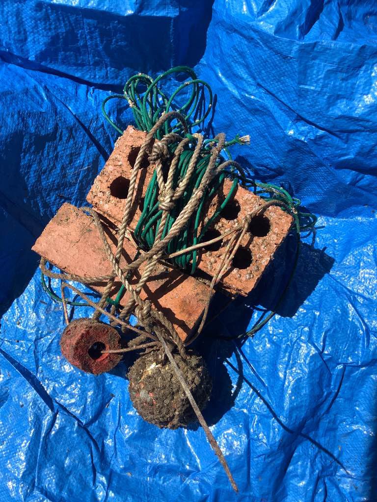
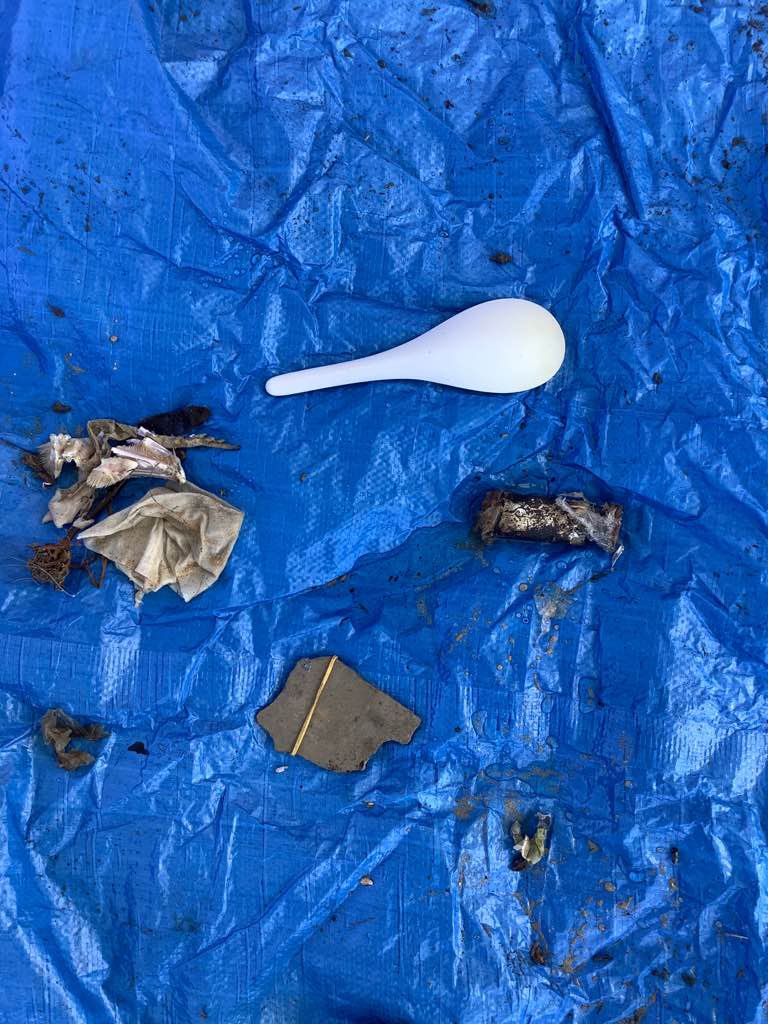
Bricks
No rain or strong winds
0
0
0
0
0
0
0
0
0
0
0
0
0
0
0
0
0
0
0
0
Frog Dive
Larissa Alves
0
0
0
2
0
0
0
0
0
0
0
0
0
0
0
0
0
0
12
19
0
0
0
0
70
0
0
0
0
0
0
0
0
0
14.41
48
8.50
2.00
0
measured
0
9
257.36
0
0
0
0
0
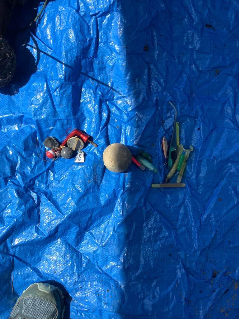
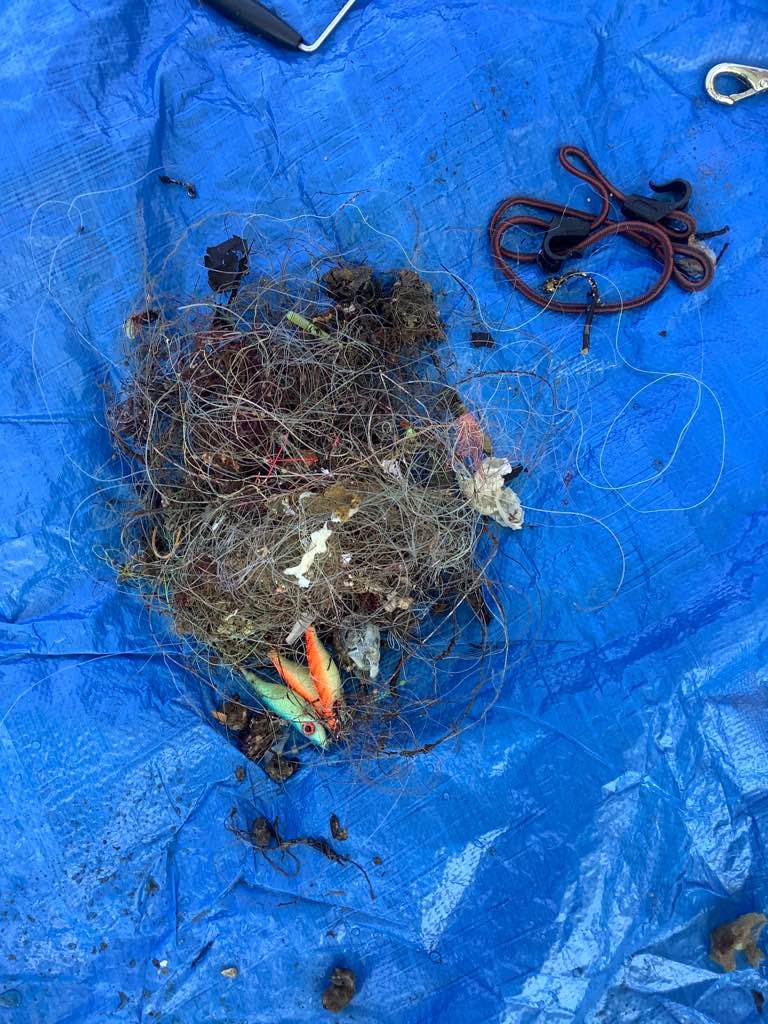
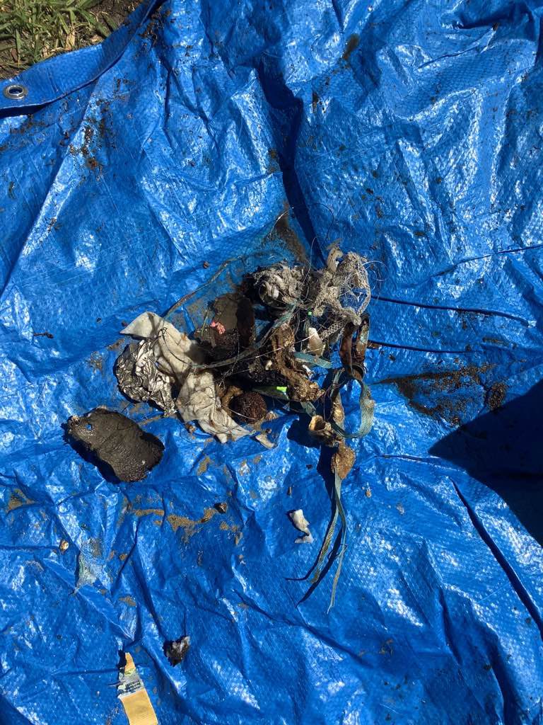
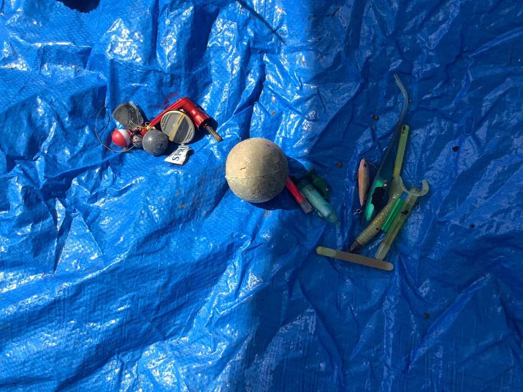
Fishing lines
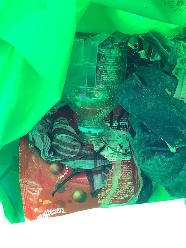
Plastic bags
Fishing lures
0
On
kilograms
0
I have debris data to report
1
0
0
Calm (glassy to rippled) for waves 0 – 0.1 meter high
2
0
0
0
6
0
0
m2
4
0
meters
other
0
0
0
0
1
0
0
0
0
7
0
3
0
0
0
0
0
0
0
0
0
0
0
0
0
0
0
0
State\Province
NSW
City
Sydney
Map Help
Dive Location
If you know your survey site coordinates, enter them manually in decimal degrees using WGS84 Map Datum. Use the minus sign for latitudes south of the equator and longitudes west of the Prime Meridian to 180 degrees.
If you do not know your survey site coordinates, click the “Map Location” tab to use the map to zoom into your survey site and drop the pin on the map to fall within your survey dive site in the water (not on land or the beach). Ensure you zoom in as much as possible to ensure data accuracy.
Entangled Help


