Menu

Blue Lagoon

2
3
0

-8.5298823619636, 115.51375764514

0
0
0
sand
0
1
0
10
0
Yes
Boat part
Calm
0
0
0
0
0
0
0
0
0
0
0
0
0
0
0
0
0
0
0
0
Oca Divers
Shayla Erwin aksa
0
0
0
0
0
0
0
0
0
0
1
0
0
0
0
0
0
0
0
4
0
0
0
0
0
0
0
0
0
0
0
0
0
0
1.00
30
18.00
1.00
0
estimated
0
3
500.00
0
0
0
0
0
Fishing line
Plastic bags
Food wrappers
0
On
kilograms
0
I have debris data to report
0
0
0
Calm (glassy to rippled) for waves 0 – 0.1 meter high
2
0
0
0
0
0
0
m2
0
0
meters
coral reef
1
0
0
0
0
0
0
0
0
0
0
0
0
0
0
0
0
0
0
0
0
0
0
0
0
0
0
0
Indonesia
State\Province
Bali
City
Padang bai
Map Help


Dive Location

If you know your survey site coordinates, enter them manually in decimal degrees using WGS84 Map Datum. Use the minus sign for latitudes south of the equator and longitudes west of the Prime Meridian to 180 degrees.

If you do not know your survey site coordinates, click the “Map Location” tab to use the map to zoom into your survey site and drop the pin on the map to fall within your survey dive site in the water (not on land or the beach). Ensure you zoom in as much as possible to ensure data accuracy.

Entangled Help


Use the vertical tabs below to record any entangled animals you found of each type.

Sibuan Island

0
0
0

4.647152, 118.656635

0
0
0
sand
0
0
0
0
0
Need to do more clean up
Yes
Plastic bottle
Sunny
0
0
0
0
0
0
0
0
0
0
0
0
0
0
0
0
0
0
0
0
Uncle chang
O’neill
0
0
0
0
0
0
0
0
1
0
0
0
0
0
8
0
0
0
0
9
0
0
0
0
0
0
0
0
0
0
0
0
0
0
69.00
45
14.00
5.00
0
measured
0
0
5225.76
0
0
0
0
0
Sibuan
Mabul
Bohey dulang
0
On
kilograms
0
I have debris data to report
1
0
1
Smooth (wavelets) for waves 0.1 - 0.5 meter high
0
0
0
0
9
0
0
m2
0
1
meters
coral reef
0
0
0
0
0
0
0
0
0
0
0
0
0
0
0
0
0
0
0
0
0
0
0
0
0
0
0
0
Malaysia
State\Province
Sabah
City
Semporna
Map Help


Dive Location

If you know your survey site coordinates, enter them manually in decimal degrees using WGS84 Map Datum. Use the minus sign for latitudes south of the equator and longitudes west of the Prime Meridian to 180 degrees.

If you do not know your survey site coordinates, click the “Map Location” tab to use the map to zoom into your survey site and drop the pin on the map to fall within your survey dive site in the water (not on land or the beach). Ensure you zoom in as much as possible to ensure data accuracy.
Entangled Help


Use the vertical tabs below to record any entangled animals you found of each type.

Sibuan

0
0
0
0

4.562412, 118.596221

0
0
0
coral
2
305
0
1
0
YES
NO
fish net
Confine
Uncle Chang
Huang Wei Jia
0
0
0
0
0
0
0
0
0
0
35
0
0
0
8
0
0
0
0
8
0
0
0
0
51
0
108
0
0
0
0
0
0
0
0
0
69.00
50
14.00
5.00
0
measured
0
0
0
0
14.00
0
0
0
0
0
PLASTIC
BOTTLE
STRAW
0
On
kilograms
0
I have debris data to report
3
0
0
Smooth (wavelets) for waves 0.1 - 0.5 meter high
7
0
0
Released Unharmed
fish
1
net
0
22
1
0
m2
0
0
meters
coral reef
0
0
0
0
0
0
0
0
0
0
0
0
0
0
0
0
0
0
0
0
0
0
0
0
0
0
0
0
0
Malaysia
State\Province
Sabah
City
Semporna
Map Help


Dive Location

If you know your survey site coordinates, enter them manually in decimal degrees using WGS84 Map Datum. Use the minus sign for latitudes south of the equator and longitudes west of the Prime Meridian to 180 degrees.

If you do not know your survey site coordinates, click the “Map Location” tab to use the map to zoom into your survey site and drop the pin on the map to fall within your survey dive site in the water (not on land or the beach). Ensure you zoom in as much as possible to ensure data accuracy.
Entangled Help


Use the vertical tabs below to record any entangled animals you found of each type.

ADS382 - Dibba Rock

0
0
0

25.603427, 56.351174

0
0
0
coral
0
0
0
3
0
N/a
No
Very old, some line through coral
N/a
Stormy
0
0
0
0
0
0
0
0
0
0
0
0
0
0
0
0
0
0
0
0
Freestyle Divers
Rebecca Kierman
0
0
0
0
0
0
0
0
0
0
0
0
0
0
0
0
0
0
0
3
0
0
0
0
0
0
0
0
0
0
0
0
0
0
0.50
70
7.00
1.00
0
estimated
0
0
100.00
0
0
0
0
0
Fishing line
0
On
kilograms
0
I have debris data to report
0
0
0
Slight for waves 0.5 -1.25 meter high
0
0
0
0
0
0
0
m2
0
0
meters
coral reef
0
0
0
0
0
0
0
0
0
0
0
0
0
0
0
0
0
0
0
0
0
0
0
0
0
0
0
0
United Arab Emirates
State\Province
Fujaïrah
City
Dibba
Map Help


Dive Location

If you know your survey site coordinates, enter them manually in decimal degrees using WGS84 Map Datum. Use the minus sign for latitudes south of the equator and longitudes west of the Prime Meridian to 180 degrees.

If you do not know your survey site coordinates, click the “Map Location” tab to use the map to zoom into your survey site and drop the pin on the map to fall within your survey dive site in the water (not on land or the beach). Ensure you zoom in as much as possible to ensure data accuracy.
Entangled Help


Use the vertical tabs below to record any entangled animals you found of each type.

Red Rock, Koh Tao

coral

10.121294903836, 99.81556738747

N/a
Moderate waves, slightly cloudy
Eco Koh Tao - Crystal Dive
Jenny Dowling
2
0.00
58
14.90
5.00
measured
20.00
On
kilograms
Our Survey Site was free of debris
Slight for waves 0.5 -1.25 meter high m2
meters
coral reef
Thailand
State\Province
Surat Thani
City
Koh Tao
Map Help


Dive Location

If you know your survey site coordinates, enter them manually in decimal degrees using WGS84 Map Datum. Use the minus sign for latitudes south of the equator and longitudes west of the Prime Meridian to 180 degrees.

If you do not know your survey site coordinates, click the “Map Location” tab to use the map to zoom into your survey site and drop the pin on the map to fall within your survey dive site in the water (not on land or the beach). Ensure you zoom in as much as possible to ensure data accuracy.
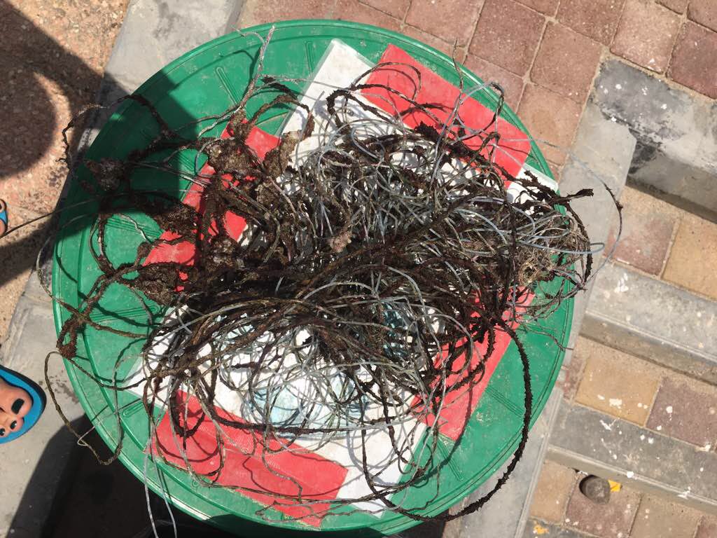
Entangled Help


Use the vertical tabs below to record any entangled animals you found of each type.

Lighthouse, Koh Tao

2
1
sand

10.120590569443, 99.843219443921

N/a
Fishing net- coral fragments were caught in it
Moderate waves with slight clouds
Eco Koh Tao - Crystal Dive
Jenny Dowling
2
1
3.00
49
12.00
2.50
estimated
20.00
Fishing net
Plastic wrappers
beverage bottle
On
kilograms
I have debris data to report
Smooth (wavelets) for waves 0.1 - 0.5 meter high m2
meters
coral reef
Thailand
State\Province
Surat Thani
City
Koh Tao
Map Help


Dive Location

If you know your survey site coordinates, enter them manually in decimal degrees using WGS84 Map Datum. Use the minus sign for latitudes south of the equator and longitudes west of the Prime Meridian to 180 degrees.

If you do not know your survey site coordinates, click the “Map Location” tab to use the map to zoom into your survey site and drop the pin on the map to fall within your survey dive site in the water (not on land or the beach). Ensure you zoom in as much as possible to ensure data accuracy.
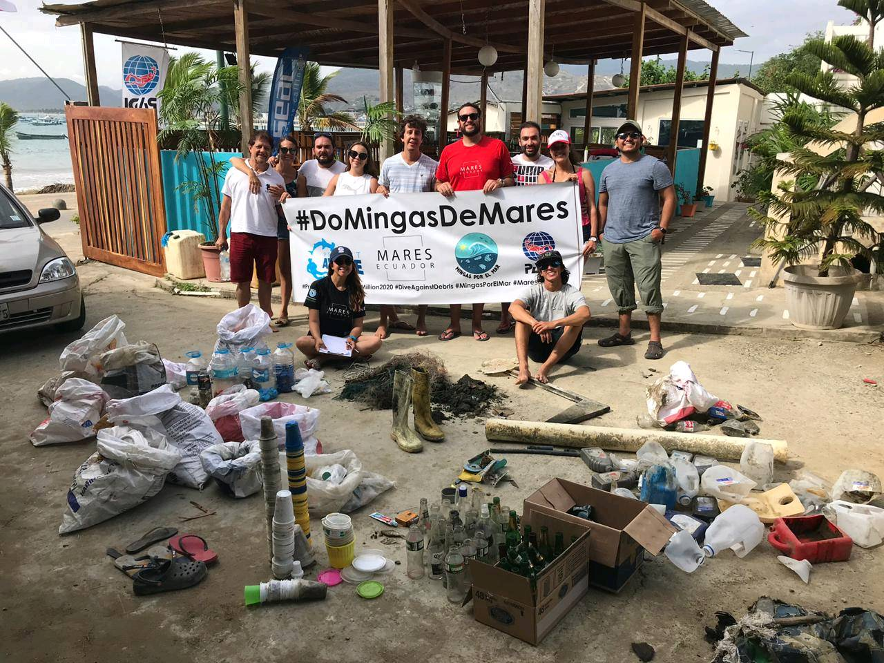
Entangled Help


Use the vertical tabs below to record any entangled animals you found of each type.

Haliewia Trench

sand
1

21.5927614, -158.1034112

Rainy
Julie Flores
20
0.50
22
88.00
20.00
estimated
100.00
On
pounds
I have debris data to report
Smooth (wavelets) for waves 0.1 - 0.5 meter high
1
m2
feet
coral reef
United States
Map Help


Dive Location

If you know your survey site coordinates, enter them manually in decimal degrees using WGS84 Map Datum. Use the minus sign for latitudes south of the equator and longitudes west of the Prime Meridian to 180 degrees.

If you do not know your survey site coordinates, click the “Map Location” tab to use the map to zoom into your survey site and drop the pin on the map to fall within your survey dive site in the water (not on land or the beach). Ensure you zoom in as much as possible to ensure data accuracy.
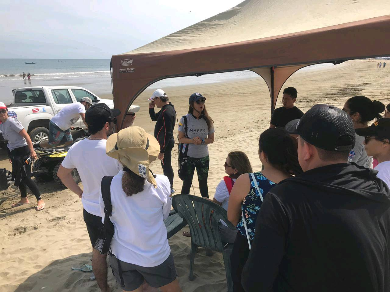
Entangled Help


Use the vertical tabs below to record any entangled animals you found of each type.

ADS424 - New Club Reef

10
5
0
0

24.845218, 51.507888

0
0
1
sand
0
0
0
1
0
No
Windy
Qdivers
Jaco
0
0
0
2
5
0
0
0
0
0
2
0
0
0
0
0
1
1
0
3
0
0
0
0
0
0
5
0
0
0
0
1
0
0
0
0
5.00
20
9.00
3.00
0
estimated
0
0
0
0
866.00
0
0
0
0
0
Plastic water bottles
Plastic bags
0
On
kilograms
0
I have debris data to report
0
0
0
Smooth (wavelets) for waves 0.1 - 0.5 meter high
0
0
0
0
0
0
0
m2
0
2
meters
other
0
0
0
0
0
0
0
0
0
0
0
0
0
0
0
0
0
0
0
0
0
0
0
0
0
0
0
0
0
Qatar
State\Province
Doha
City
Mesaieed
Map Help


Dive Location

If you know your survey site coordinates, enter them manually in decimal degrees using WGS84 Map Datum. Use the minus sign for latitudes south of the equator and longitudes west of the Prime Meridian to 180 degrees.

If you do not know your survey site coordinates, click the “Map Location” tab to use the map to zoom into your survey site and drop the pin on the map to fall within your survey dive site in the water (not on land or the beach). Ensure you zoom in as much as possible to ensure data accuracy.
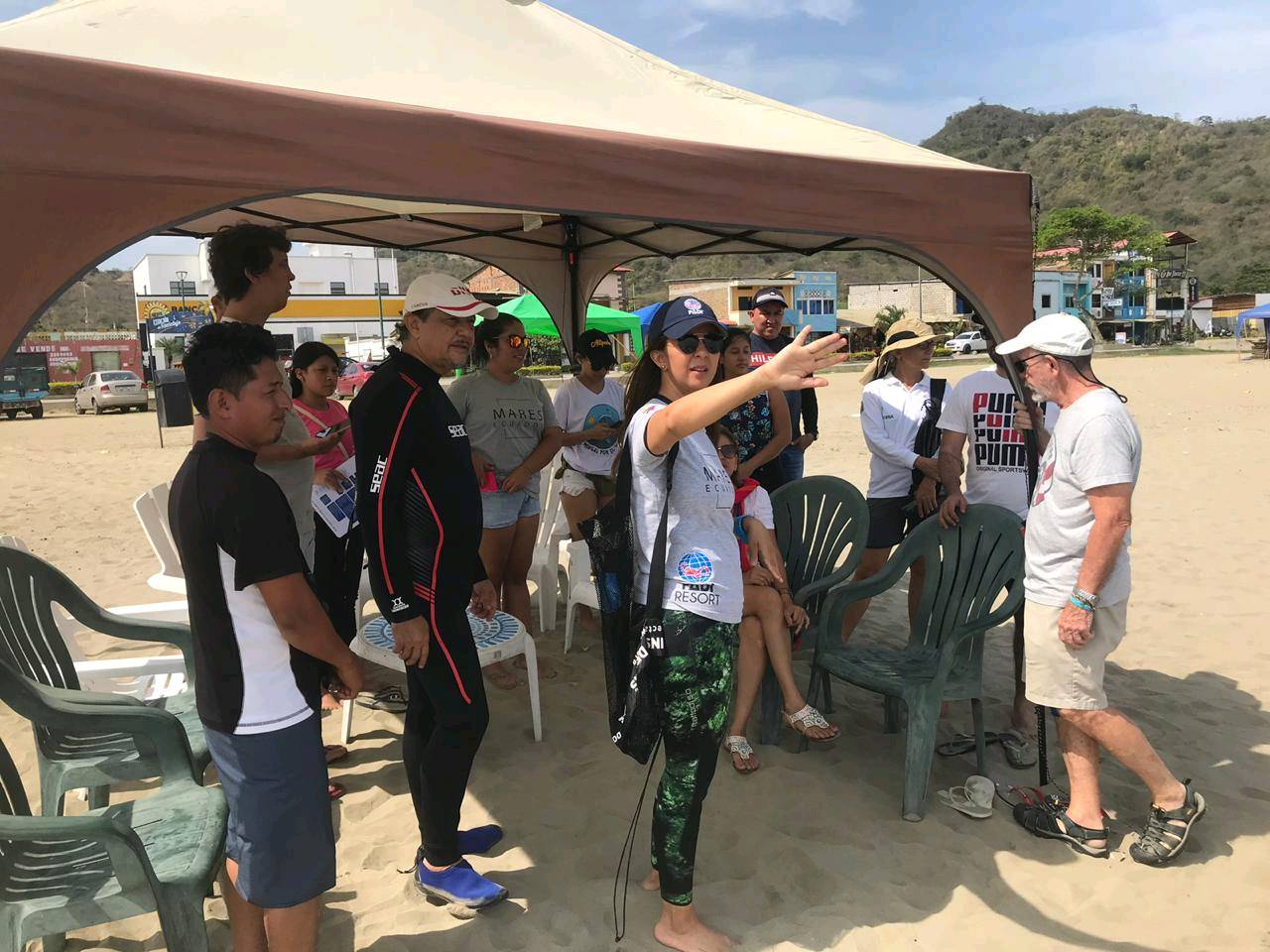
Entangled Help


Use the vertical tabs below to record any entangled animals you found of each type.

ADS436 - Boca Simon

6

12.096534, -68.915141

coral
1

12.096619768405, -68.915376763101

no
No
no
Denture
Calm
1
1
denture
Filter swimmingpool
Atlantis Diving
Renske van den Nieuwelaar
3
1
3
3
1
23.50
55
16.00
1.00
measured
100.00
1
1
shoesoles
cloth fragments
beer bottles
3
On
kilograms
I have debris data to report
9
Calm (glassy to rippled) for waves 0 – 0.1 meter high
11
6
m2
meters
coral reef
3
Netherlands Antilles
State\Province
Curaçao
City
Willemstad
Map Help


Dive Location

If you know your survey site coordinates, enter them manually in decimal degrees using WGS84 Map Datum. Use the minus sign for latitudes south of the equator and longitudes west of the Prime Meridian to 180 degrees.

If you do not know your survey site coordinates, click the “Map Location” tab to use the map to zoom into your survey site and drop the pin on the map to fall within your survey dive site in the water (not on land or the beach). Ensure you zoom in as much as possible to ensure data accuracy.
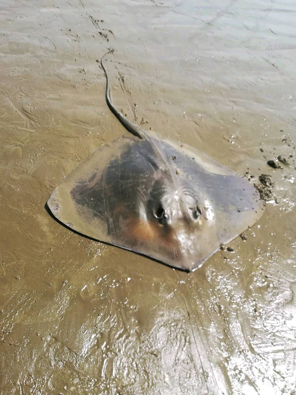
Entangled Help


Use the vertical tabs below to record any entangled animals you found of each type.

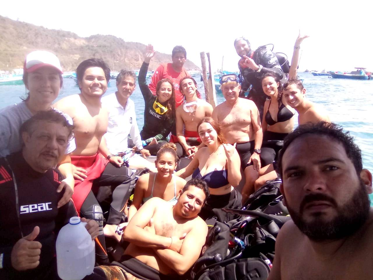
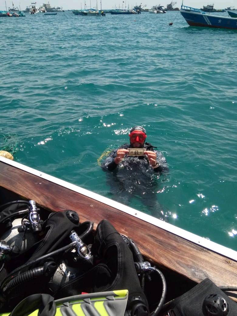
ADS550 - Puerto López

17
6
9
8

-1.561757518086, -80.816945418493

3
0
1
sand
0
14
2
25
13
Holiday
1 dollar
Mares Ecuador
Maria Cristina Izurieta
7
5
0
26
16
0
3
0
2
2
82
0
7
1
4
0
0
43
0
13
3
3
6
0
6
11
19
2
5
6
0
2
1
2
0
0
78.42
42
14.00
7.00
18
measured
0
0
0
6
407.00
1
1
0
7
0
0
On
kilograms
0
I have debris data to report
16
6
0
Smooth (wavelets) for waves 0.1 - 0.5 meter high
3
0
5
Fishing Nets
Crab
Dead
2
0
8
0
0
m2
0
3
meters
other
0
0
3
0
3
28
0
0
0
0
0
0
0
0
2
0
0
5
0
0
6
0
3
2
12
0
1
1
0
Ecuador
State\Province
Manabi
City
Puerto Lopez
Map Help


Dive Location

If you know your survey site coordinates, enter them manually in decimal degrees using WGS84 Map Datum. Use the minus sign for latitudes south of the equator and longitudes west of the Prime Meridian to 180 degrees.

If you do not know your survey site coordinates, click the “Map Location” tab to use the map to zoom into your survey site and drop the pin on the map to fall within your survey dive site in the water (not on land or the beach). Ensure you zoom in as much as possible to ensure data accuracy.
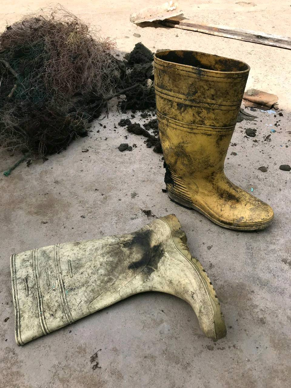
Entangled Help


Use the vertical tabs below to record any entangled animals you found of each type.

Subscribe to